The best walks and hikes around Parco Naturale Regionale dei Monti Simbruini
4.5
(2091)
8,484
hikers
194
hikes
Hiking around Parco Naturale Regionale dei Monti Simbruini offers diverse landscapes in the Italian Apennines, characterized by mountainous terrain with peaks up to 2,000 meters. The park features extensive beech woodlands between 900 and 1,900 meters, interspersed with karst plateaus and gentle slopes. Rivers like the Aniene and Simbrivio contribute to the lush environment, while lower altitudes feature mixed oak forests.
Best hiking trails around Parco Naturale Regionale dei Monti Simbruini
- The most popular hiking route is Monte Autore Loop…
Last updated: July 7, 2026
4.7
(188)
600
hikers
10.3km
03:30
370m
370m
The Monte Autore Loop from Campo dell'Osso offers a rewarding moderate hike through the Simbruini Mountains. As you ascend, you will pass through ancient beech forests, which are particularly vibrant…
4.5
(20)
142
hikers
12.7km
04:28
700m
700m
Embark on the Monte Viglio Loop from Serra Sant'Antonio, a challenging hike that takes you through the heart of the Parco Naturale Regionale dei Monti Simbruini. This difficult 7.9-mile (12.7…

Sign up for free
4.7
(39)
100
hikers
9.68km
02:43
190m
190m
Embark on the Colle Campitellino Loop, a moderate hiking route that guides you through the diverse landscapes of the Monti Simbruini Regional Natural Park. This trail spans 6.0 miles (9.7…
3.9
(14)
45
hikers
10.4km
03:42
610m
610m
Hike the moderate 6.4-mile Vallepietra waterfalls ring tour in Simbruini Mountains Park, featuring cascades, forests, and the Sanctuary of t
4.7
(12)
46
hikers
13.5km
04:34
660m
660m
Embark on a difficult 8.4-mile (13.5 km) hike to Monte Tarino, a challenging route that demands good fitness and sure-footedness. You will gain 2162 feet (659 metres) in elevation, with…
Get access to more routes and recommendations from other explorers.
Sign up for free
Already have an account?
Our route recommendations are based on thousands of hikes, rides, and runs completed by other people on komoot.
Start today with a free account
Your next adventure awaits.
Login or Signup
Popular around Parco Naturale Regionale dei Monti Simbruini
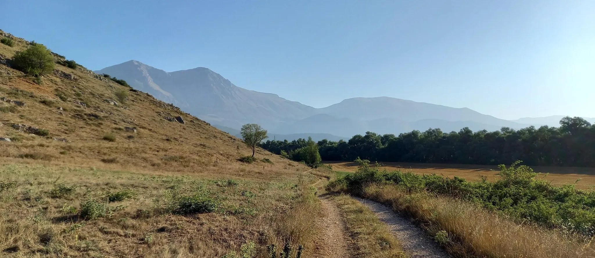
Hike from Rome to the Adriatic Sea – Way of St. Thomas
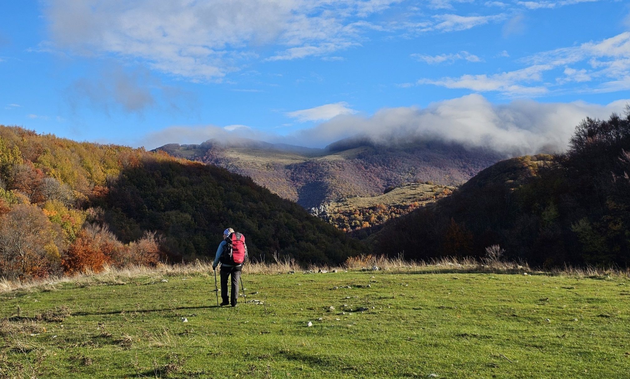
A colourful journey – hike in the Simbruini Mountains
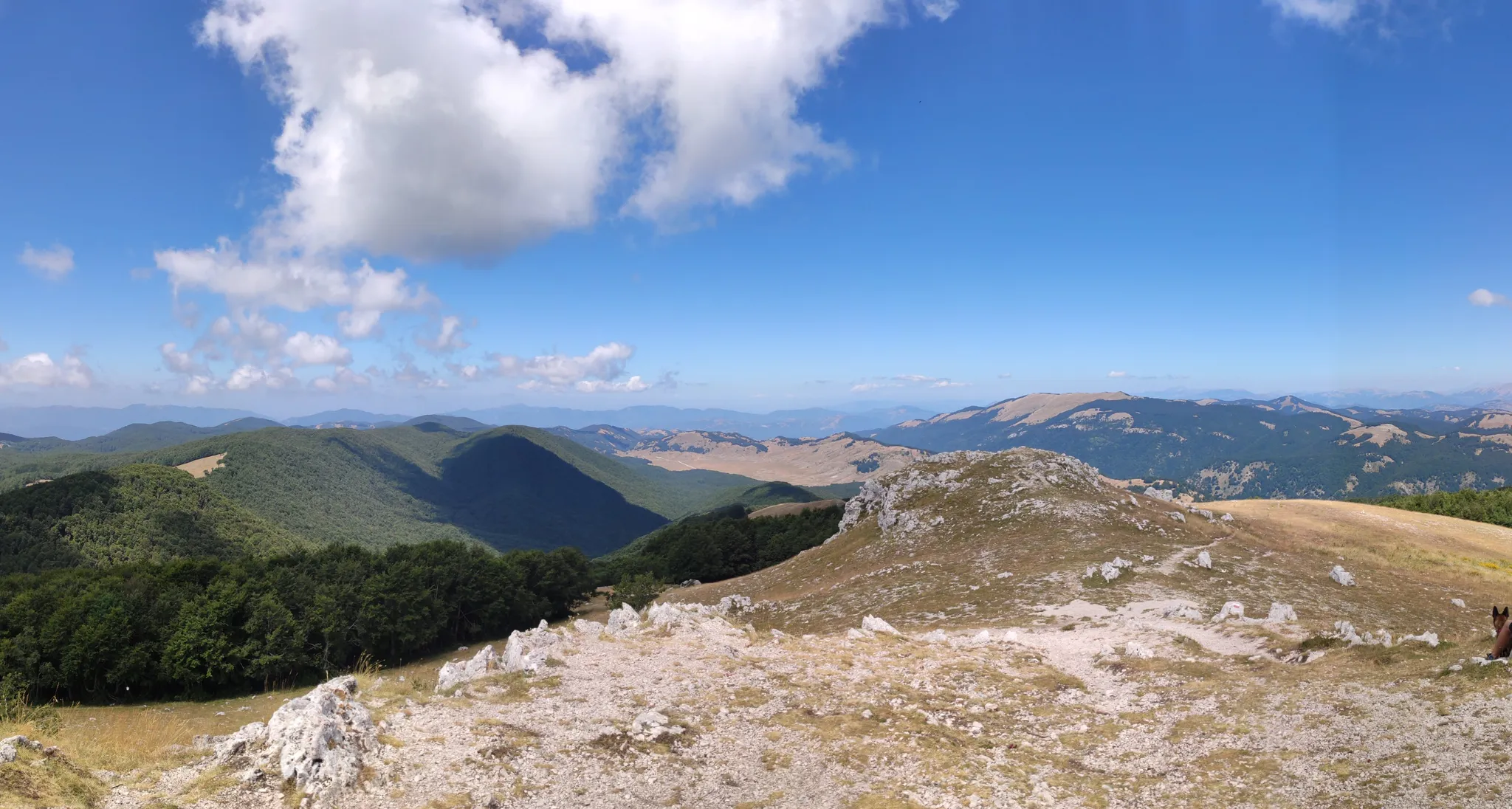
Cammino Naturale dei Parchi – Part 2 Livata to Corvaro
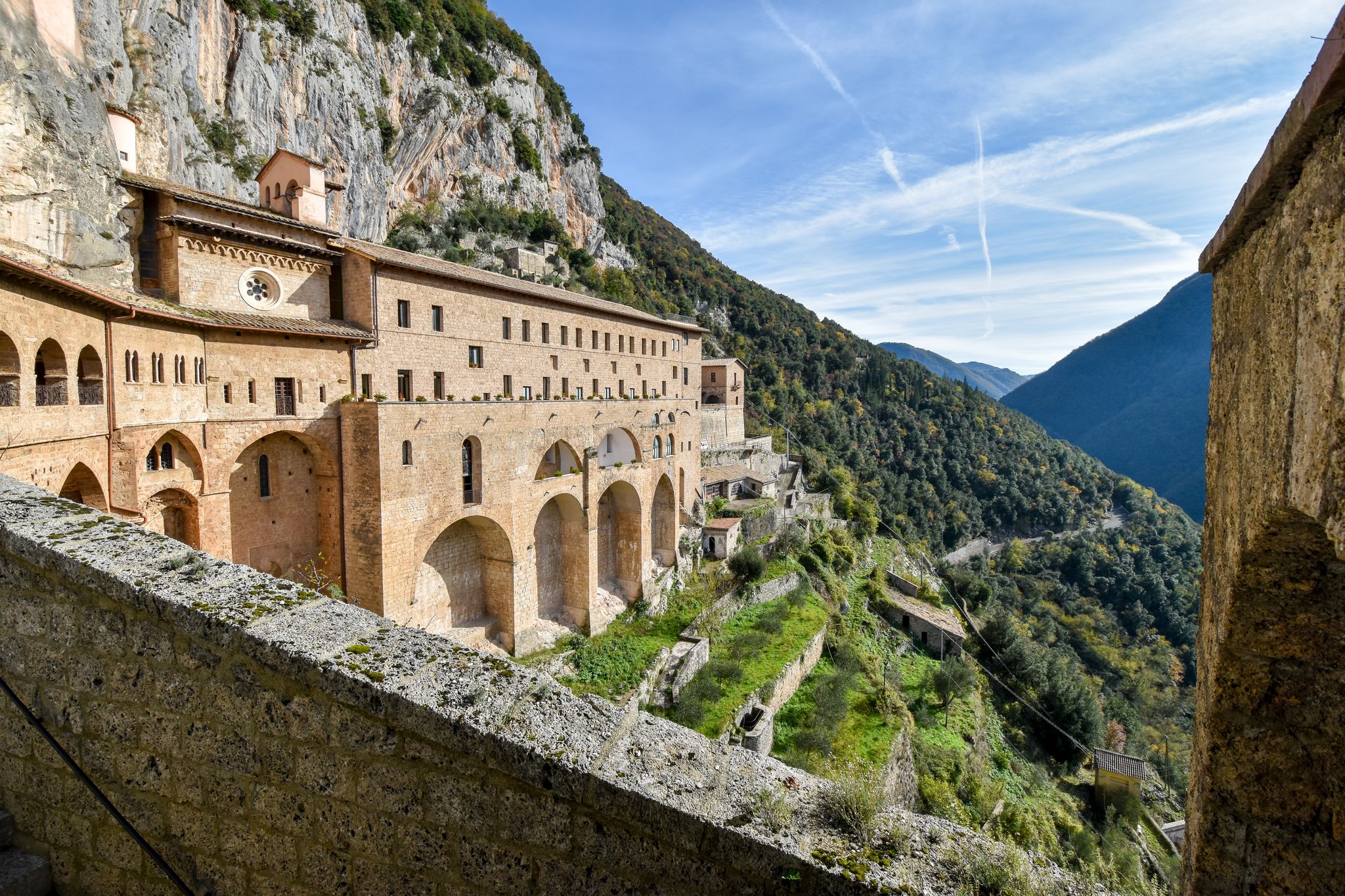
In the Footsteps of Saint Benedict - The Benedict Way
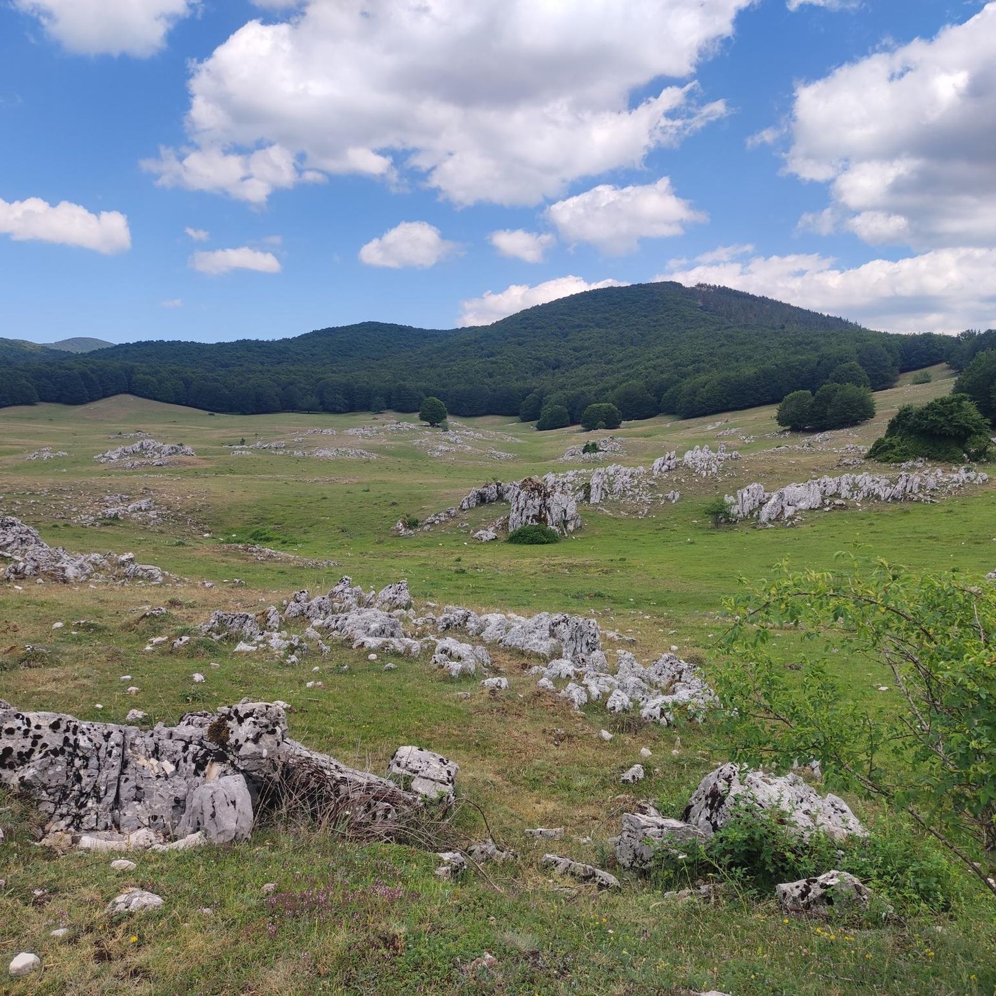
Cycling around Parco Naturale Regionale dei Monti Simbruini
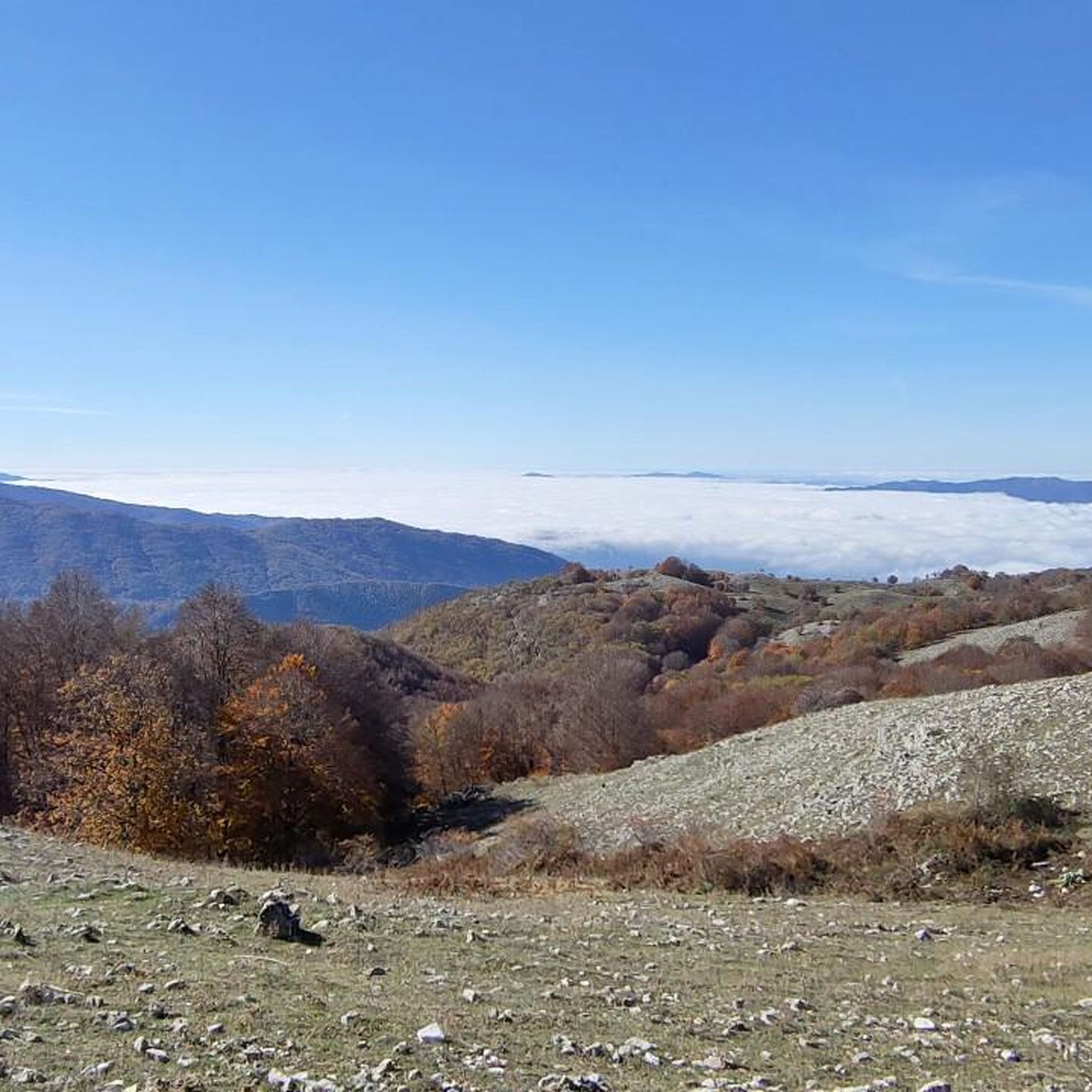
Road Cycling Routes around Parco Naturale Regionale dei Monti Simbruini
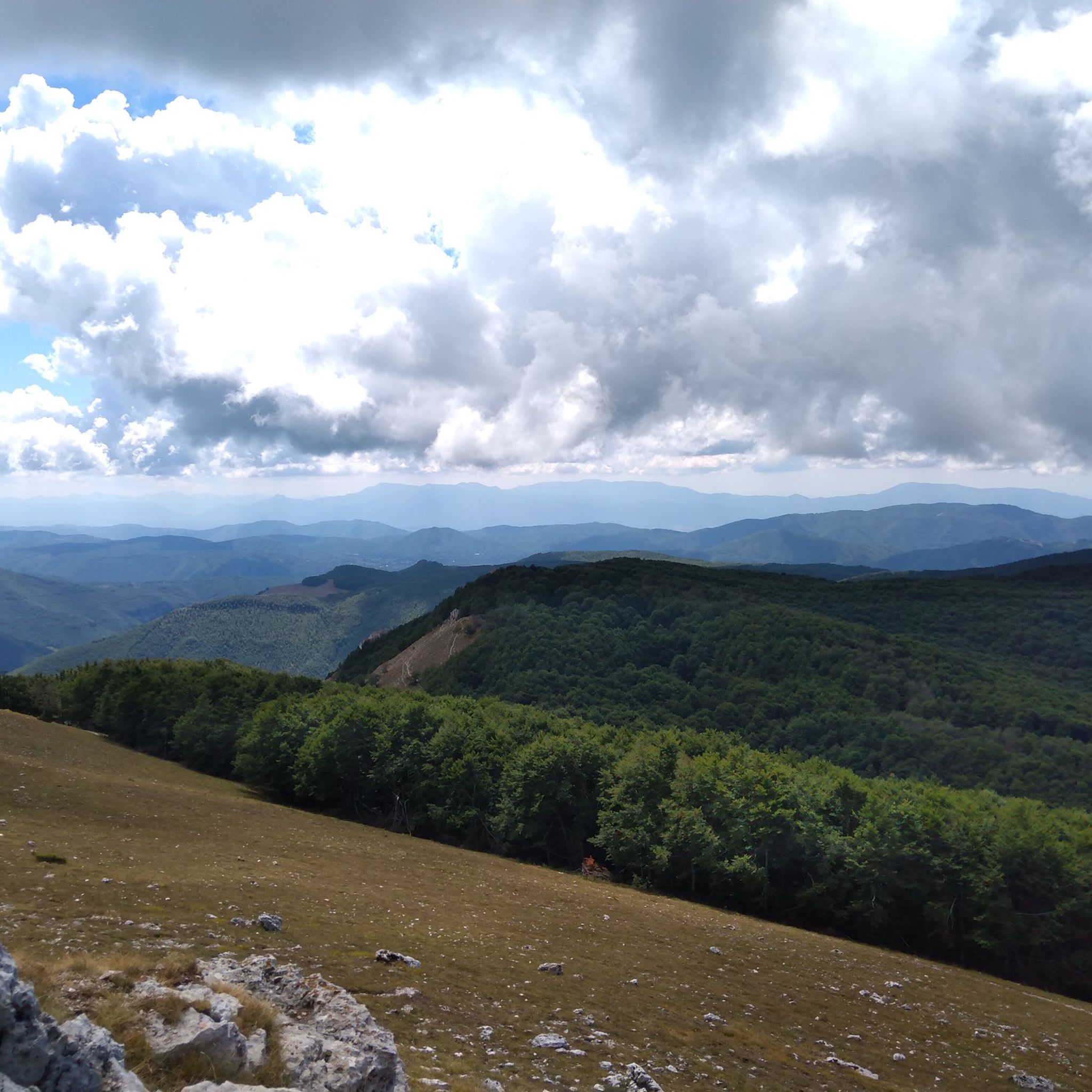
MTB Trails around Parco Naturale Regionale dei Monti Simbruini
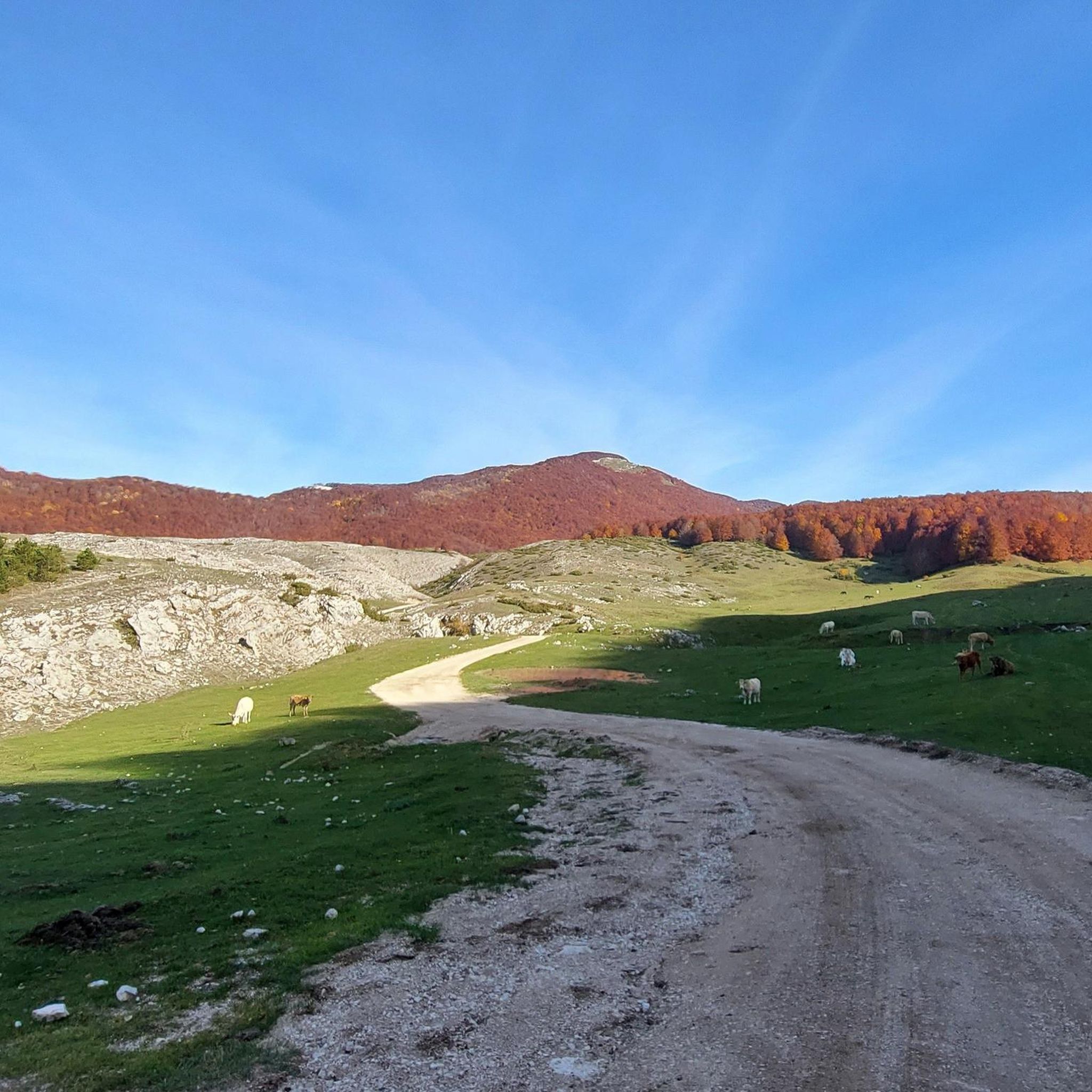
Running Trails around Parco Naturale Regionale dei Monti Simbruini

Gravel biking around Parco Naturale Regionale dei Monti Simbruini
Other adventures around Parco Naturale Regionale dei Monti Simbruini


Tips from the Community


Very beautiful, but be careful with the loose gravel base.
0
0

Hiking boots, fairly long and steep route.
0
0


This place is worth a vote as you reach the top and if the weather permits you can see both the Tyrrhenian and Adriatic seas.
1
0

The fountain is located in the Campitelle area at an altitude of 1,340 meters above sea level. It is located within one of the many large karst valleys of the Simbruini mountains. Its position is indicated by wooden signs already present on the dirt road that comes from the square of the Santissima Trinità. The place is pleasant and ideal for a nice picnic!
3
0
Monte Autore, with its 1,854 meters of altitude, is the third peak of the Simbruini mountains. It can be reached with an easy walk from Campo dell'Osso, also suitable for families and less fit people. It is a very panoramic peak, which offers the gaze a broad view of the Apennines: from the Gran Sasso, to Terminillo, to the nearby Mount Velino up to the Meta mountains further south. The walk to the top is possible in any season, in winter with snowshoes. Autumn is the best season, when the Simbruini woods are tinged with multiple colours.
7
1

Here (1780 m) there is a cross and a sacred statue representing the Madonna, Vado della Moscosa or Belvedere.
1
0
Frequently Asked Questions
How many hiking trails are there in Parco Naturale Regionale dei Monti Simbruini?
The Parco Naturale Regionale dei Monti Simbruini offers a comprehensive network of over 180 marked paths. These trails cater to all skill levels, from easy walks to challenging multi-day treks, ensuring a diverse hiking experience.
What is the best time to hike in Parco Naturale Regionale dei Monti Simbruini?
The park is beautiful year-round. Spring and autumn offer pleasant temperatures and vibrant colors, ideal for exploring the extensive beech woodlands. Summer is great for higher altitude trails, while winter provides opportunities for snowshoeing and skiing, with two ski resorts available.
Are there trails suitable for beginners or families with children?
Yes, the park has numerous options for all fitness levels. For an easy and enjoyable walk, consider the San Benedetto Lake loop from Subiaco, which is 4.81 km long. There are also over 25 other easy routes available, perfect for families or those new to hiking.
Can I find trails with waterfalls in the park?
Absolutely! The park's rivers, like the Aniene and Simbrivio, contribute to its lush environment and create beautiful waterfalls. You can explore the Vallepietra Waterfalls Loop, a moderate 10.3 km trail. Additionally, the Trevi Waterfalls in Lazio are a notable natural monument within the park.
Are there any circular walks in Parco Naturale Regionale dei Monti Simbruini?
Yes, many trails in the park are designed as loops, offering varied scenery without retracing your steps. Popular options include the moderate Monte Autore Loop from Campo dell'Osso, which is 10.3 km, or the Colle Campitellino Loop, a 9.7 km route through forested areas.
What kind of wildlife can I expect to see while hiking?
The park is rich in Apennine fauna. You might spot wild boar, roe deer, foxes, and various bird species, including birds of prey like the golden eagle. While rare, brown bears have been sighted, and wolf packs inhabit the area. Keep an eye out for porcupines, martens, and squirrels too.
Are dogs allowed on the hiking trails in Parco Naturale Regionale dei Monti Simbruini?
Generally, dogs are welcome on trails in Parco Naturale Regionale dei Monti Simbruini, but it's always recommended to keep them on a leash, especially due to the presence of wildlife. Always check specific trail regulations or park signage for any restrictions.
What natural landmarks or viewpoints can I discover along the trails?
The park offers stunning natural landmarks and panoramic viewpoints. You can hike to the Monte Autore Summit or Monna dell'Orso for expansive views. Other notable spots include the Monna della Forcina Meadow and various mountain passes like Passo Procoio.
Are there any historical towns or cultural sites to visit near the trails?
Yes, the park is home to charming historical towns. Subiaco and Vallepietra are nestled within the park and offer cultural attractions. The Grotta dell'Inferniglio in Jenne also provides an interesting speleological experience, adding a cultural dimension to your outdoor adventure.
Is it possible to hike in Parco Naturale Regionale dei Monti Simbruini during winter?
Yes, winter hiking is possible and offers a unique experience. The park transforms into a snowy landscape, ideal for snowshoeing. There are also two ski resorts within the park, providing 15 km of pistes for winter sports enthusiasts.
What do other hikers say about the trails in Parco Naturale Regionale dei Monti Simbruini?
The trails in Parco Naturale Regionale dei Monti Simbruini are highly rated by the komoot community, with an average score of 4.5 stars from over 1300 reviews. Hikers often praise the diverse terrain, the beauty of the vast beech woodlands, and the panoramic views from the mountainous peaks.
How long do hikes typically take in the Simbruini Mountains?
Hike durations vary significantly depending on the trail's length and difficulty. For example, a moderate route like the Monte Autore Loop from Campo dell'Osso takes about 3 hours and 30 minutes, while a more challenging one like the Monte Viglio Loop from Serra Sant'Antonio can take around 4 hours and 28 minutes. There are also multi-day treks for longer adventures.
Is parking available at the trailheads in Parco Naturale Regionale dei Monti Simbruini?
Parking is generally available at common starting points for trails, especially near villages or popular access points like Campo dell'Osso or Serra Sant'Antonio. It's advisable to check specific route details or local information for the most convenient parking options for your chosen hike.
Most popular routes around Parco Naturale Regionale dei Monti Simbruini
Most popular attractions around Parco Naturale Regionale dei Monti Simbruini

Get inspired with the komoot mobile app


Explore more
Browse the best Hikes in other regions.
