The best traffic-free bike rides around Parco Naturale Regionale dei Monti Simbruini
4.3
(146)
4,115
riders
15
rides
No traffic road cycling routes around Parco Naturale Regionale dei Monti Simbruini traverse a diverse landscape characterized by mountains, extensive beech forests, and karst plateaus. Peaks in the region reach over 2,000 meters, offering varied terrain from challenging climbs to descents. The area is rich in water resources, feeding numerous springs and rivers, which contribute to lush landscapes. Cyclists can expect a mix of well-paved surfaces and scenic roads through this protected natural area.
Best no traffic road cycling routes around Parco Naturale Regionale dei Monti Simbruini
- The most popular no traffic road cycling route is Subiaco - Monte Livata Loop, a 24.6 miles (39.7 km) trail that takes 2 hours 42 minutes to complete. This route features significant elevation gain through mountainous terrain.
- Another top favourite among local road cyclists is Ascent to Monte Livata – Jenne loop from Jenne, a difficult 21.4 miles (34.5 km) path. This route includes substantial ascents and panoramic views of the Apennines.
- Local road cyclists also love the Monti Simbruini Park Loop, a 56.2 miles (90.5 km) trail leading through extensive beech forests and karst plateaus, often completed in about 6 hours 3 minutes.
- Road cycling around Parco Naturale Regionale dei Monti Simbruini is defined by mountain peaks, dense beech forests, and unique karst plateaus. The network offers options for different ability levels, from moderate rides to demanding ascents.
- The routes in Parco Naturale Regionale dei Monti Simbruini are highly rated by the komoot community with an average score of 4.4 stars from over 100 reviews. More than 3,800 road cyclists have used komoot to explore Parco Naturale Regionale dei Monti Simbruini's varied terrain.
Last updated: July 13, 2026
3.3
(3)
74
riders
39.7km
02:42
1,290m
1,290m
Hard road ride. Very good fitness required. Some segments of this route may be unpaved and difficult to ride.
7
riders
34.5km
02:08
910m
910m
Hard road ride. Very good fitness required. Some segments of this route may be unpaved and difficult to ride.

Sign up for free
6
riders
24.9km
01:37
720m
720m
Moderate road ride. Good fitness required. Mostly well-paved surfaces and easy to ride.
5.0
(1)
28
riders
90.5km
06:03
2,810m
2,820m
Hard road ride. Very good fitness required. Some segments of this route may be unpaved and difficult to ride.
13
riders
23.8km
01:16
450m
450m
Moderate road ride. Good fitness required. Mostly well-paved surfaces and easy to ride.
Get access to more routes and recommendations from other explorers.
Sign up for free
Already have an account?
Our route recommendations are based on thousands of hikes, rides, and runs completed by other people on komoot.
Start today with a free account
Your next adventure awaits.
Login or Signup
Popular around Parco Naturale Regionale dei Monti Simbruini
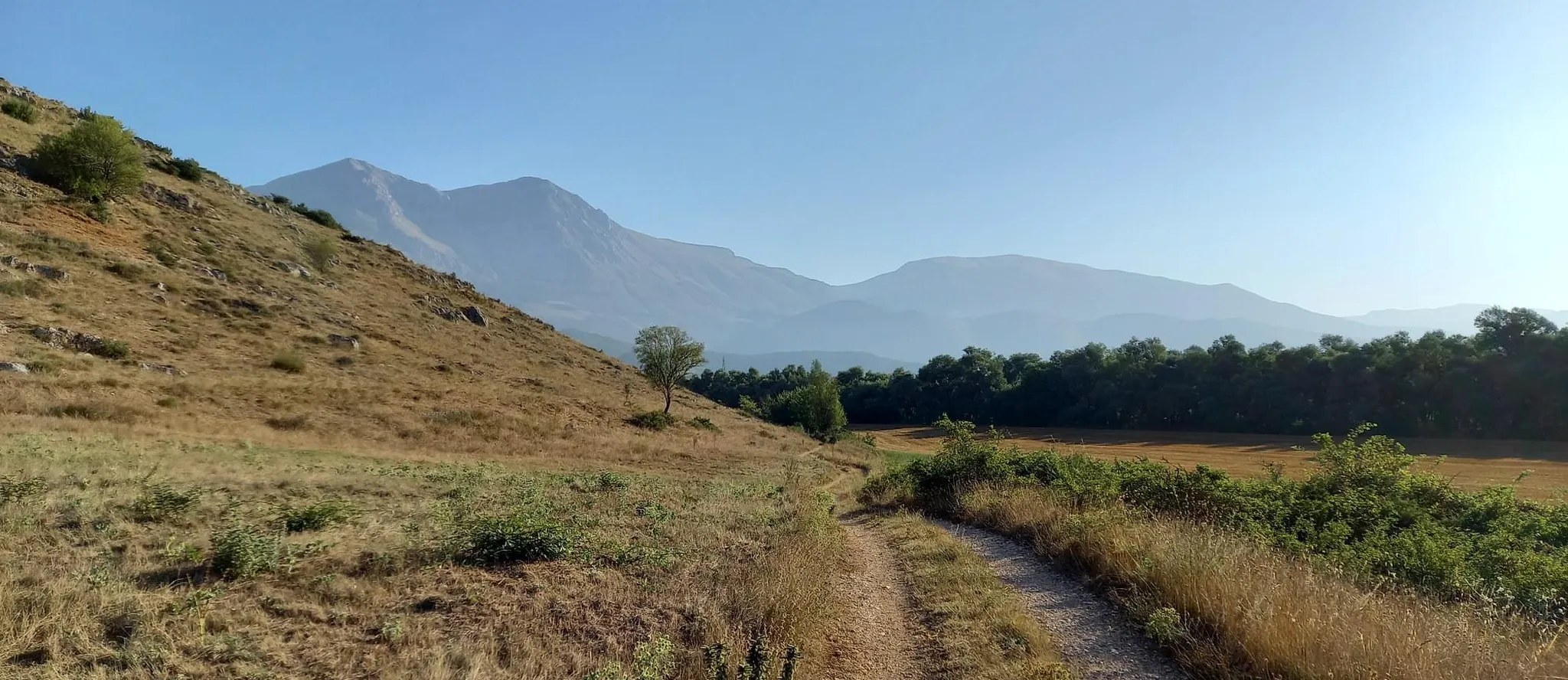
Hike from Rome to the Adriatic Sea – Way of St. Thomas
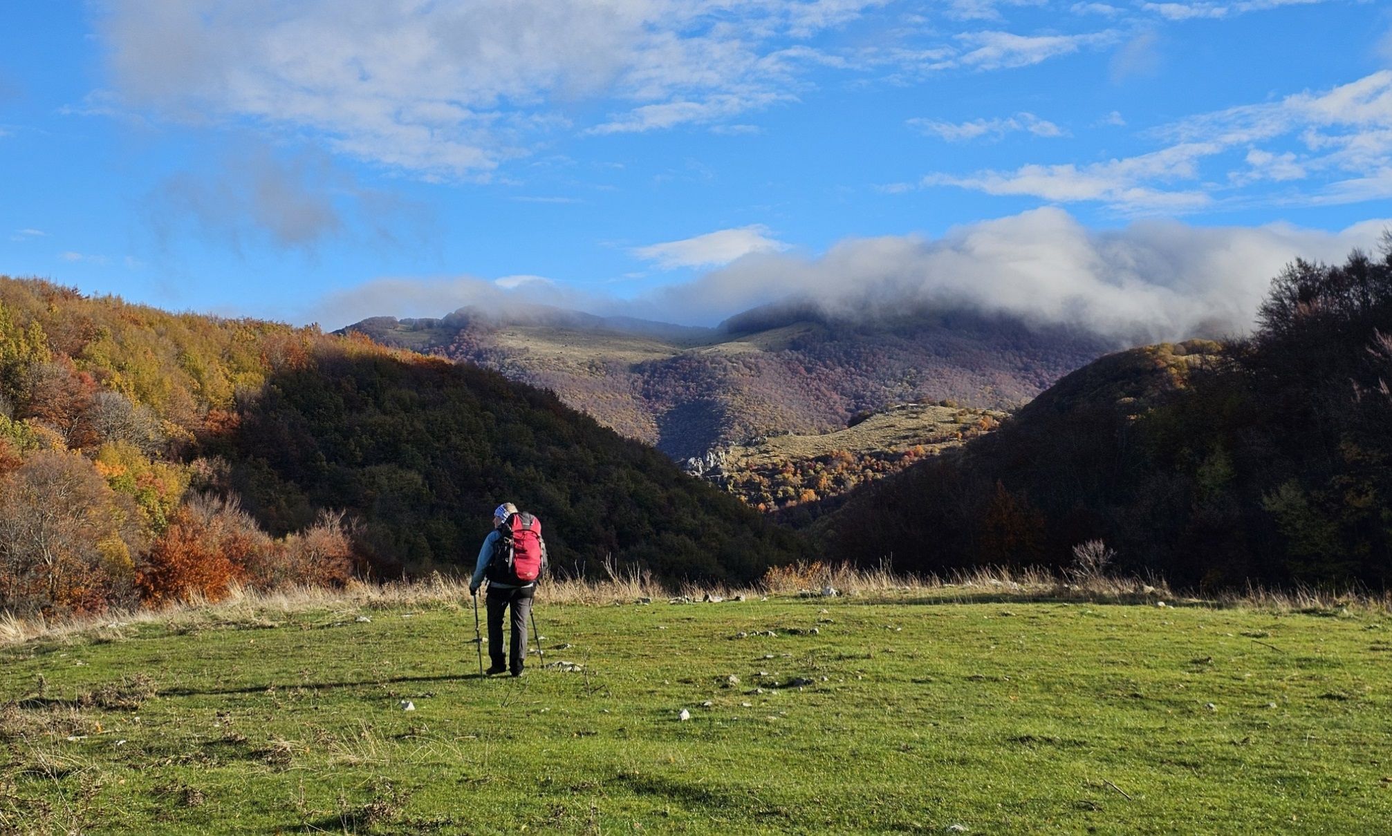
A colourful journey – hike in the Simbruini Mountains
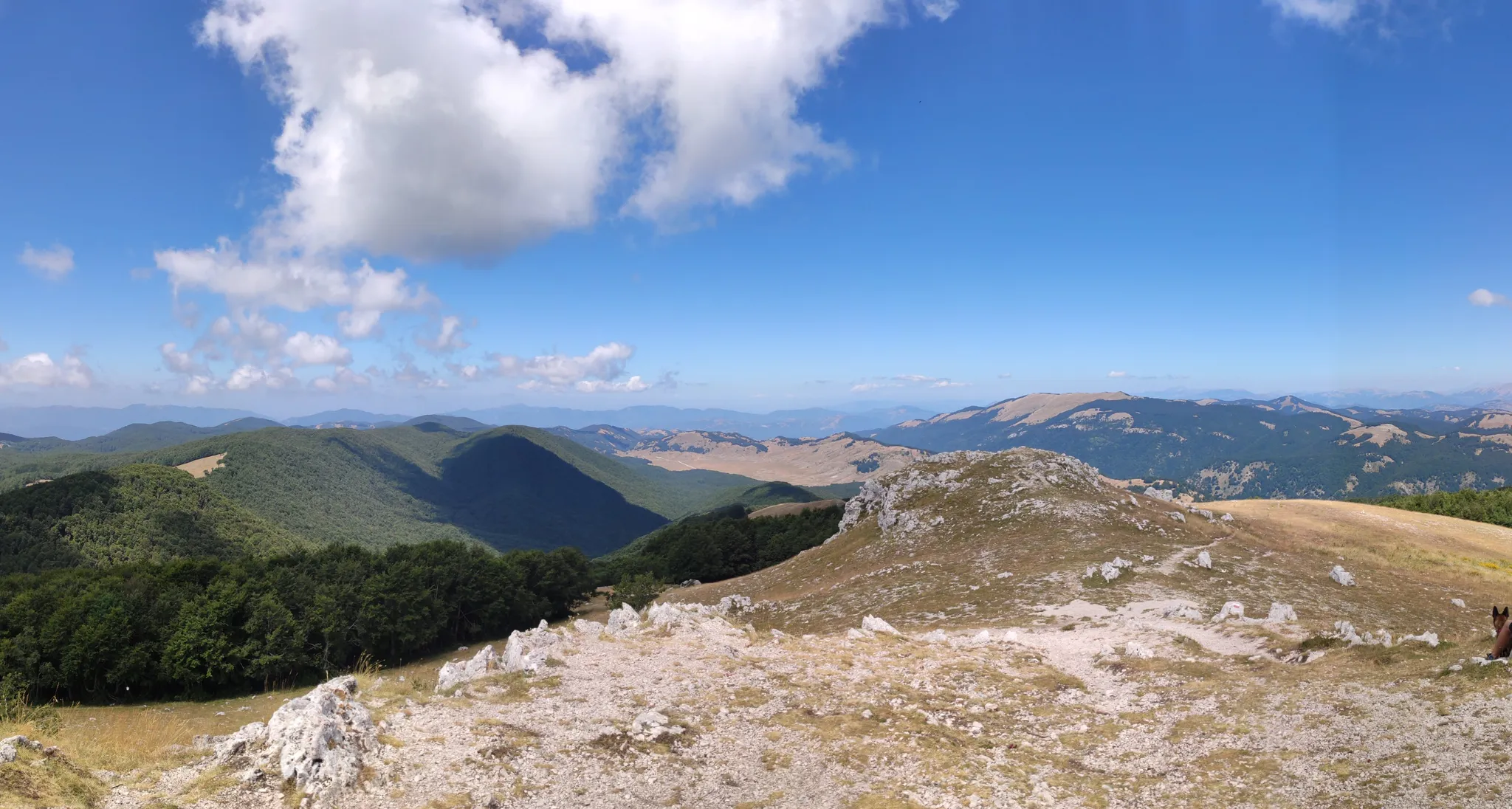
Cammino Naturale dei Parchi – Part 2 Livata to Corvaro
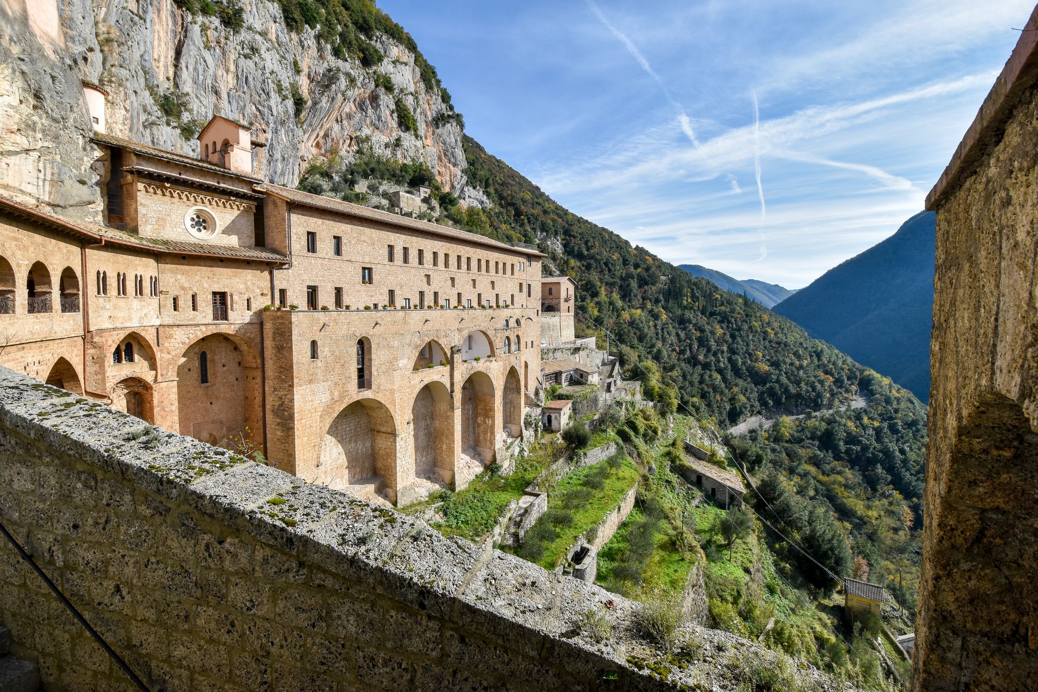
In the Footsteps of Saint Benedict - The Benedict Way

Traffic-free bike rides around Parco Naturale Regionale dei Monti Simbruini

Traffic-free bike rides around Parco Naturale Regionale dei Monti Simbruini
Other adventures around Parco Naturale Regionale dei Monti Simbruini


Tips from the Community

The plateau is beautiful, but the buildings are much less so, often dilapidated, an example of the building outrage of the seventies.
3
0
These are the ruins of Nero's villa, on the road that goes from Subiaco towards the Benedictine monasteries.
4
0

worth seeing
0
0

Arcinazzo plateaus, is a mountain resort located at an average height of 850 meters
0
0
In the heart of the Aniene Valley, Subiaco is a medieval village rich in history, art and culture. It is immersed in the flora and fauna of the Simbruini Mountains Regional Natural Park.
0
0

The Simbruini Mountains Park is a protected mountain area with peaks reaching 2000 meters in altitude. Here you pedal immersing yourself in breathtaking views!
1
0
Located at almost 1400 meters above sea level, the Sanctuary of the Holy Trinity dominates the surrounding valleys and is located in front of Monte Autore which reaches 1800 m above sea level
1
0
Subiaco is a town in the heart of the Aniene Valley and is rich in history. It is famous, for example, for its Benedictine monasteries.
1
0
Frequently Asked Questions
How many no-traffic road cycling routes are available in Parco Naturale Regionale dei Monti Simbruini?
There are over 10 dedicated no-traffic road cycling routes in Parco Naturale Regionale dei Monti Simbruini, offering a variety of distances and challenges. The komoot community has contributed a total of 14 routes for this region.
What is the typical terrain and elevation gain like on these no-traffic routes?
The Monti Simbruini region is characterized by mountainous terrain with peaks over 2,000 meters, so expect varied landscapes. Routes often feature strenuous climbs and exhilarating descents. For example, the difficult Subiaco - Monte Livata Loop covers nearly 40 km with almost 1,300 meters of elevation gain, while the Monti Simbruini Park Loop is a challenging 90 km ride with over 2,800 meters of ascent.
When is the best time of year for traffic-free road cycling in Monti Simbruini?
The best time for road cycling in Monti Simbruini is generally from spring through autumn. During these seasons, the weather is more favorable, and the extensive beech forests provide verdant tunnels and shaded routes, especially pleasant during warmer months. Winter can bring snow to higher elevations, making some routes inaccessible.
Are there options for beginners or less experienced cyclists looking for no-traffic routes?
While many routes in Monti Simbruini are moderate to difficult, there are options suitable for less experienced cyclists. For instance, the Altipiani di Arcinazzo loop from Altipiani Di Arcinazzo is a moderate 23 km route with around 450 meters of elevation, offering a good starting point for those looking for a less strenuous ride without traffic.
What natural features can I expect to see along these no-traffic road cycling routes?
You'll encounter diverse natural beauty, including extensive beech forests and karst plateaus like Prato di Camposecco. The region is rich in water resources, with numerous springs and rivers. You might even spot the picturesque Trevi Waterfalls in Lazio. Higher routes offer panoramic views of the Apennines from peaks such as Monte Autore Summit or Monte Viglio summit (2,156 m).
Are there any historical or cultural attractions near the no-traffic cycling routes?
Yes, the Monti Simbruini region is dotted with charming towns and historical sites. Subiaco, one of Italy's most beautiful villages, is home to the significant Benedictine monasteries of St. Benedict and St. Scholastica. You can also explore Cervara di Roma, an open-air museum with sculptures carved into rock, or visit historical sites like Castello Caetani in Trevi nel Lazio. The Old Mill of Jenne also provides a well-preserved historical spot.
Is parking available for cyclists near the no-traffic routes?
Yes, parking is generally available in the towns and villages within or bordering the park, such as Subiaco, Jenne, and Filettino, which serve as common starting points for many routes. These areas often have designated parking spaces suitable for cyclists.
Can I reach the park by public transport with my bike?
Public transport options, such as Cotral buses, serve the Monti Simbruini area. However, policies regarding bike transport can vary. It's advisable to check the specific regulations and availability for carrying bikes on Cotral services in advance, especially for longer journeys or during peak times. For more general information about the region, you can visit italia.it.
Are these routes suitable for families?
While many routes involve significant climbs, some sections or shorter loops might be suitable for families with older children who are comfortable with road cycling. Always check the route's difficulty and elevation profile before setting out. The focus on no-traffic roads enhances safety for family rides.
Are there places to eat or drink along the routes?
Yes, the towns and villages within the park, such as Subiaco, Jenne, and those near Monte Livata, offer various cafes, restaurants, and trattorias where you can refuel. It's a good idea to plan your route to pass through these settlements for refreshment stops.
What do other cyclists enjoy most about road cycling in Parco Naturale Regionale dei Monti Simbruini?
The area is highly rated by the komoot community, with an average score of 4.36 stars from over 100 reviews. Reviewers often praise the stunning natural scenery, the challenging yet rewarding climbs, and the peaceful, traffic-free roads that allow for an immersive cycling experience amidst the Apennine mountains and lush forests.
Are there any circular no-traffic road cycling routes?
Yes, many of the no-traffic road cycling routes in Monti Simbruini are designed as loops, allowing you to start and end in the same location. Examples include the challenging Monti Simbruini Park Loop and the moderate Lake Canterno loop from Fiuggi, which offers a scenic ride around the lake.
Most popular routes around Parco Naturale Regionale dei Monti Simbruini
Most popular attractions around Parco Naturale Regionale dei Monti Simbruini

Get inspired with the komoot mobile app


Explore more
Browse the best Road cycling routes in other regions.
