The best waterfall hikes and walks around Parco Naturale Regionale dei Monti Simbruini
4.5
(2094)
8,490
hikers
12
hikes
Waterfall hiking trails around Parco Naturale Regionale dei Monti Simbruini explore Lazio's largest protected area, characterized by its central Apennine location. The region features diverse landscapes, including extensive beech forests, karst formations, and significant waterways. Its name, "Simbruini," derived from Latin for "under the rains," highlights the abundant annual rainfall that feeds a large network of springs and waterfalls, including the Aniene River headwaters and the Trevi Waterfalls. The terrain offers varied hiking experiences, from accessible paths to more demanding ascents.
Best waterfall hiking trails around Parco Naturale Regionale dei Monti Simbruini
- The most popular waterfall hiking route is Vallepietra Waterfalls Loop, a 6.4 miles (10.4 km) trail that takes 3 hours 42 minutes to complete. This moderate route offers views of the region's distinctive karst landscapes and abundant water features.
- Another top favourite among local hikers is San Benedetto Lake loop from Subiaco, an easy 3.0 miles (4.8 km) path. This trail explores the area around San Benedetto Lake, a prominent water-themed hike in the park.
- Local hikers also love the Trevi Waterfalls in Lazio – San Benedetto Lake loop from Altipiani Di Arcinazzo, a 15.2 miles (24.4 km) trail leading through varied terrain including the Trevi Waterfalls, often completed in about 6 hours 40 minutes.
- Hiking around Parco Naturale Regionale dei Monti Simbruini is defined by extensive beech forests, karst landscapes, and numerous waterfalls. The network offers options for different ability levels, from easy walks to more challenging treks.
- The routes in Parco Naturale Regionale dei Monti Simbruini are highly rated by the komoot community with an average score of 4.5 stars from more than 1,300 reviews. More than 5,400 hikers have used komoot to explore Parco Naturale Regionale dei Monti Simbruini's varied terrain.
Last updated: July 7, 2026
3.9
(14)
45
hikers
10.4km
03:42
610m
610m
Hike the moderate 6.4-mile Vallepietra waterfalls ring tour in Simbruini Mountains Park, featuring cascades, forests, and the Sanctuary of t
4.4
(20)
71
hikers
4.81km
01:31
180m
180m
Easy hike. Great for any fitness level. Easily-accessible paths. Suitable for all skill levels.

Sign up for free
4.5
(11)
59
hikers
Hard hike. Very good fitness required. Easily-accessible paths. Suitable for all skill levels.
4.7
(18)
43
hikers
13.2km
03:32
150m
150m
Moderate hike. Good fitness required. Easily-accessible paths. Suitable for all skill levels.
11
hikers
7.95km
02:32
320m
320m
Hard hike. Good fitness required. Sure-footedness, sturdy shoes and alpine experience required.
Get access to more routes and recommendations from other explorers.
Sign up for free
Already have an account?
Our route recommendations are based on thousands of hikes, rides, and runs completed by other people on komoot.
Start today with a free account
Your next adventure awaits.
Login or Signup
Popular around Parco Naturale Regionale dei Monti Simbruini
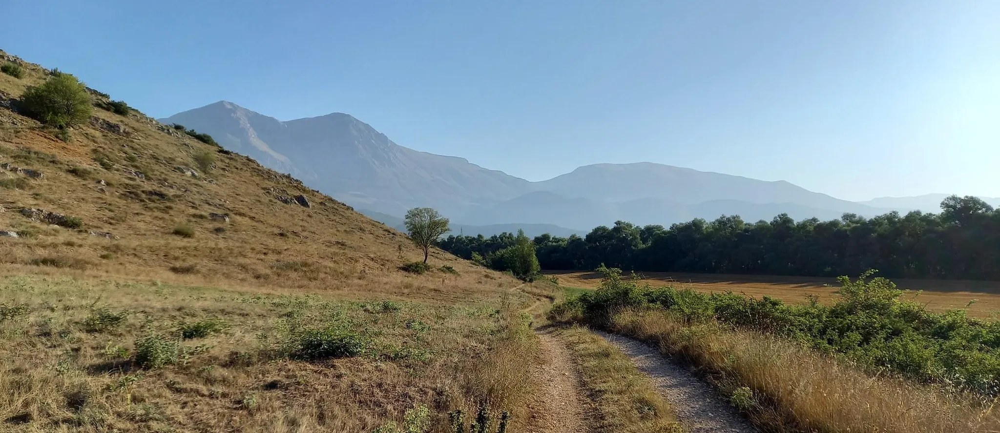
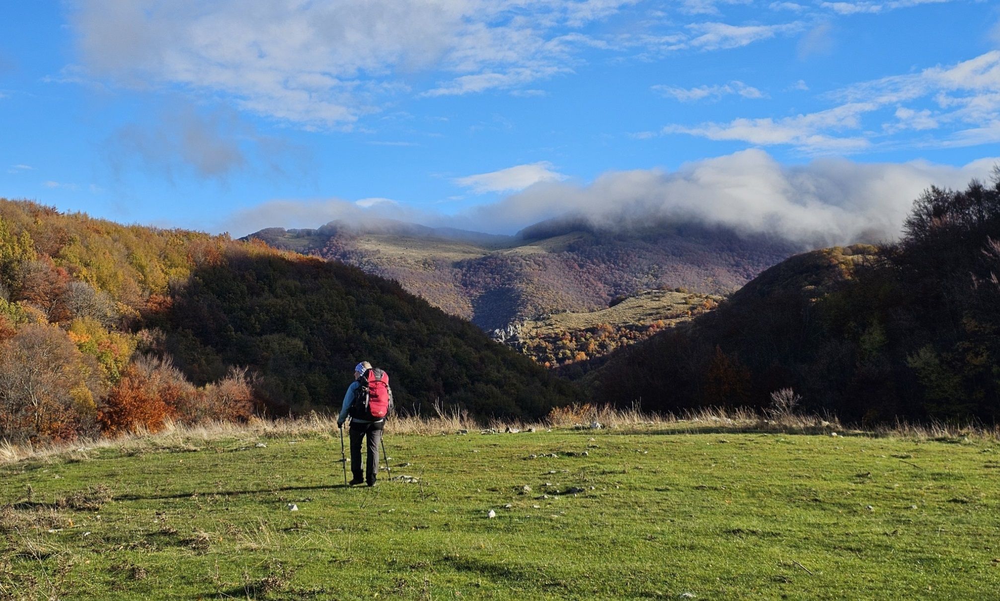
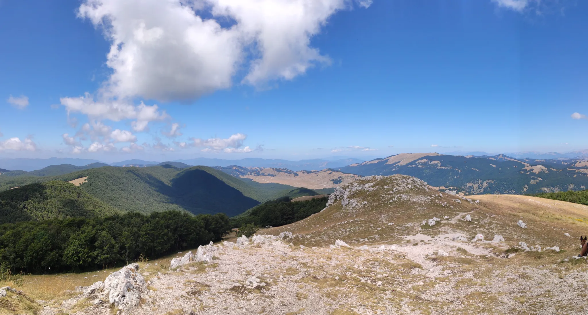
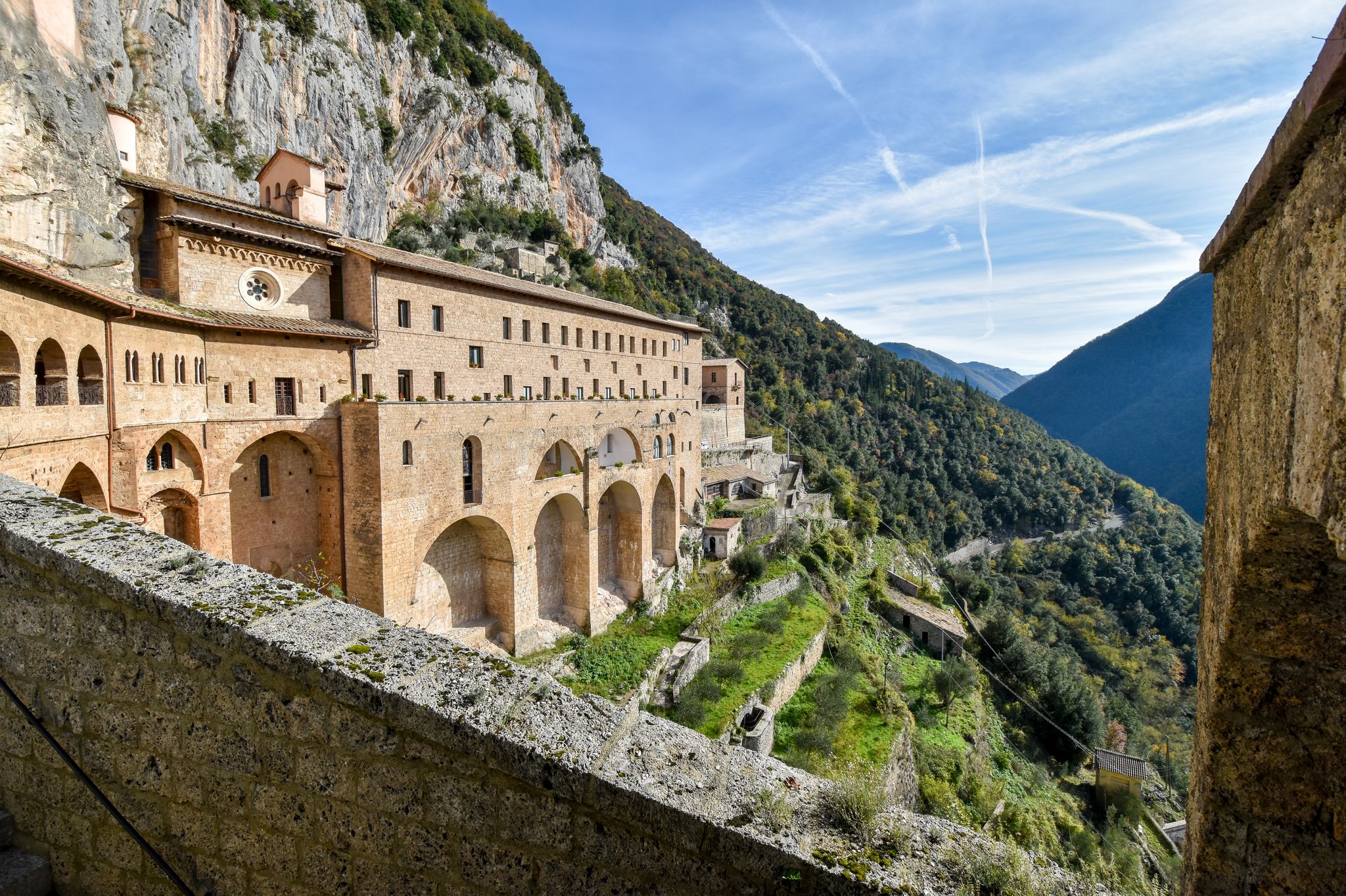
Other adventures around Parco Naturale Regionale dei Monti Simbruini


Tips from the Community

A short detour to take on foot to admire a beautiful waterfall on the Aniene River
0
0

This mill, built by Benedictine monks around the year 1000, was a fundamental point of reference for the inhabitants of the town and the surrounding areas. For centuries, people brought grain here to be ground, relying on the power of the water that, even today, flows clear and abundant. Today, all that remains of the Mola are the sturdy walls and the room where the milling took place, immersed in an almost fairy-tale landscape. All around, the river makes its way through moss and waterfalls, creating water games and reflections of light that make the atmosphere magical, especially in the early hours of the morning or at sunset. It is easy to let your imagination run wild and think about what life here must have been like once upon a time, with the noise of the millstones and the smell of freshly baked bread that spread through the houses of Jenne. The Vecchia Mola is not only a place of historical memory, but also an oasis of uncontaminated nature. In the surrounding area there are crystalline springs, such as that of the Cardellino, and paths that invite you to explore woods, caves and small waterfalls. Traveling along these routes, you often meet hikers, families and nature lovers, all attracted by the simple and authentic beauty of this corner of Lazio.
0
0

Magnificent area for traveling by bike but also for a single outing. Impressive nature, thanks to the presence of rivers. Nature expresses all its beauty. The waterfalls are music to the ears of those who know how to enjoy nature, where the flat water creates beaches to be experienced in complete relaxation.
0
0

Cycling along the path of San Benedetto, it is worth a very short detour of just over a hundred meters to enjoy the spectacle of this beautiful waterfall.
3
0
These are the ruins of Nero's villa, on the road that goes from Subiaco towards the Benedictine monasteries.
4
0

worth seeing
0
0

Well preserved and maintained, there is a picnic area that is excellent for a food break and a nap.
0
0

Frequently Asked Questions
How many waterfall hiking trails are available in Parco Naturale Regionale dei Monti Simbruini?
There are 15 dedicated waterfall hiking trails in the Parco Naturale Regionale dei Monti Simbruini. These routes offer a variety of experiences, from easy strolls to more challenging treks, all centered around the region's abundant water features.
What is the best time of year to hike to the waterfalls in Monti Simbruini?
The Monti Simbruini region, known for its abundant annual rainfall, ensures that its waterfalls are impressive throughout much of the year. Spring and autumn are particularly scenic, with lush greenery or vibrant fall colors enhancing the experience. During spring, snowmelt can increase water flow, making the waterfalls even more spectacular. Summer offers pleasant conditions for hiking, while winter can provide a unique, serene experience, though some trails might be more challenging due to snow or ice.
Are there any easy waterfall hikes suitable for families in the park?
Yes, the park offers several easy routes perfect for families. A great option is the San Benedetto Lake loop from Subiaco, which is an easy 4.8 km path exploring the area around San Benedetto Lake. This trail is relatively short and features gentle elevation changes, making it accessible for most ages and fitness levels.
Can I bring my dog on the waterfall hiking trails in Parco Naturale Regionale dei Monti Simbruini?
Many trails in Parco Naturale Regionale dei Monti Simbruini are dog-friendly, allowing you to enjoy the waterfalls with your canine companion. However, it's always recommended to keep your dog on a leash, especially in protected areas, to respect wildlife and other hikers. Please check specific trail regulations or local signage for any restrictions before you go.
What kind of natural features can I expect to see along the waterfall trails?
Beyond the captivating waterfalls, you'll encounter diverse natural features. The park is characterized by vast, ancient beech forests, which are particularly atmospheric. You'll also see distinctive karst landscapes with formations like sinkholes, shaped by water erosion. The region's name, 'Simbruini,' means 'under the rains,' highlighting the abundant springs and waterways that feed the waterfalls and rivers like the Aniene.
Are there any circular waterfall hikes available?
Yes, there are several circular routes that allow you to experience the waterfalls without retracing your steps. A popular choice is the Vallepietra Waterfalls Loop, a moderate 10.4 km trail that offers continuous views of the region's distinctive karst landscapes and abundant water features.
What are some notable attractions or landmarks near the waterfall trails?
The region around the waterfall trails is rich in natural and historical attractions. You can visit the Trevi Waterfalls in Lazio, which are a prominent feature. The town of Subiaco, a short distance from some trails, offers historical sites like the Monasteries of Santa Scolastica and San Benedetto, and the ruins of Emperor Nero's Villa. For natural beauty, the Prato di Camposecco grassland plateau is also nearby.
How do other hikers rate the waterfall trails in Parco Naturale Regionale dei Monti Simbruini?
The waterfall trails in Parco Naturale Regionale dei Monti Simbruini are highly regarded by the komoot community, with an average score of 4.5 stars from over 1,300 reviews. Hikers often praise the stunning natural beauty, the refreshing presence of water, and the variety of trails suitable for different skill levels.
What is the longest waterfall hike in the area?
For those seeking a longer adventure, the Trevi Waterfalls in Lazio – San Benedetto Lake loop from Altipiani Di Arcinazzo is a challenging 24.4 km trail. This route leads through varied terrain, including the impressive Trevi Waterfalls, and typically takes around 6 hours and 40 minutes to complete.
Are there any challenging waterfall hikes for experienced hikers?
Yes, experienced hikers can find challenging routes that lead to and around the waterfalls. The park features 5 difficult trails, including the Trevi Waterfalls in Lazio – San Benedetto Lake loop from Altipiani Di Arcinazzo, which is a demanding 24.4 km trek. These trails often involve significant elevation changes and longer distances, offering a rewarding experience for those looking for a strenuous outing.
Where can I find parking for the waterfall hiking trails?
Parking availability varies by trailhead. For popular starting points like Subiaco, Vallepietra, or Altipiani di Arcinazzo, you can typically find designated parking areas. It's advisable to check specific route details on komoot for information on parking at the start of your chosen trail.
Can I reach the waterfall trails using public transport?
Access to the Parco Naturale Regionale dei Monti Simbruini is possible via public transport, particularly to towns like Subiaco, which serve as gateways to many trails. From Rome, you can often find bus services to these towns. Once in the towns, some trailheads might be accessible on foot, while others may require a short local transfer. Planning your journey in advance is recommended.
Most popular routes around Parco Naturale Regionale dei Monti Simbruini
Most popular attractions around Parco Naturale Regionale dei Monti Simbruini

Get inspired with the komoot mobile app


Explore more
Browse the best Hikes in other regions.
