The best traffic-free bike rides around Parco Naturale Regionale dei Monti Simbruini
4.3
(28)
696
riders
30
rides
No traffic touring cycling routes around Parco Naturale Regionale dei Monti Simbruini traverse a diverse landscape characterized by mountain peaks, extensive beech forests, and expansive karst plateaus. The region, Lazio's largest protected natural area, features elevations reaching over 2,000 meters, offering varied terrain for cyclists. Rivers like the Aniene flow through the park, contributing to its rich water resources. Historic villages and monasteries are interspersed throughout the natural environment, providing cultural points of interest along the routes.
Best no traffic…
Last updated: July 13, 2026
4.5
(2)
40
riders
39.6km
03:58
1,120m
1,120m
Hard bike ride. Very good fitness required. Mostly paved surfaces. Suitable for all skill levels.
29
riders
30.8km
02:42
800m
800m
Hard bike ride. Very good fitness required. Mostly paved surfaces. Suitable for all skill levels.

Sign up for free
5.0
(3)
31
riders
41.5km
03:32
1,420m
1,420m
Hard bike ride. Very good fitness required. Mostly paved surfaces. Suitable for all skill levels.
24
riders
40.6km
04:39
1,250m
1,250m
Hard bike ride. Very good fitness required. Some segments of this route may be unpaved and difficult to ride.
4.0
(1)
17
riders
25.5km
02:34
680m
690m
Hard bike ride. Very good fitness required. Mostly paved surfaces. Suitable for all skill levels.
Get access to more routes and recommendations from other explorers.
Sign up for free
Already have an account?
Our route recommendations are based on thousands of hikes, rides, and runs completed by other people on komoot.
Start today with a free account
Your next adventure awaits.
Login or Signup
Popular around Parco Naturale Regionale dei Monti Simbruini
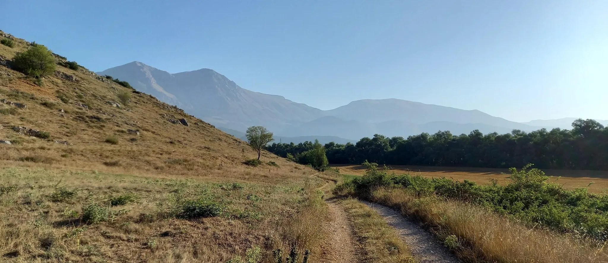
Hike from Rome to the Adriatic Sea – Way of St. Thomas
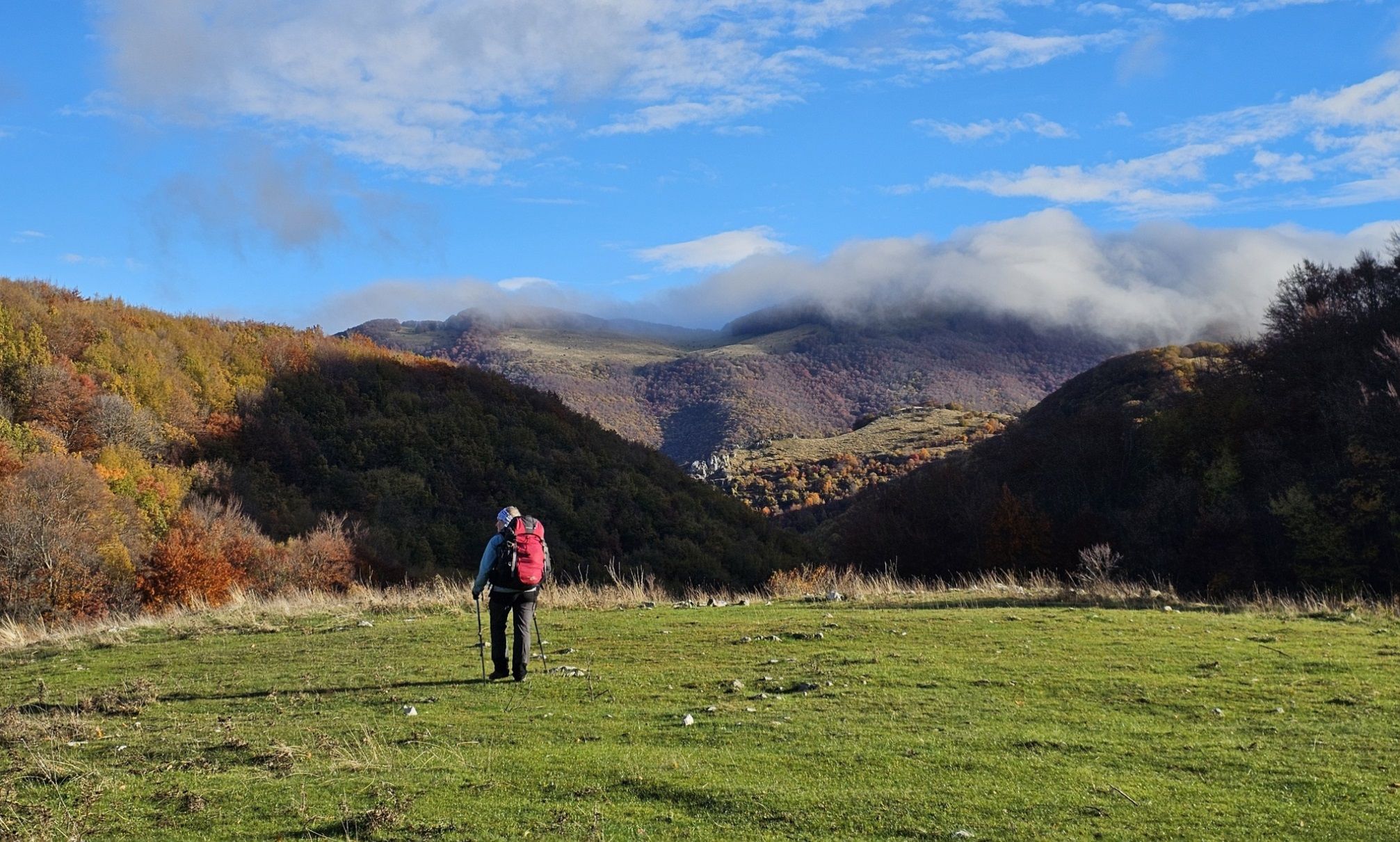
A colourful journey – hike in the Simbruini Mountains
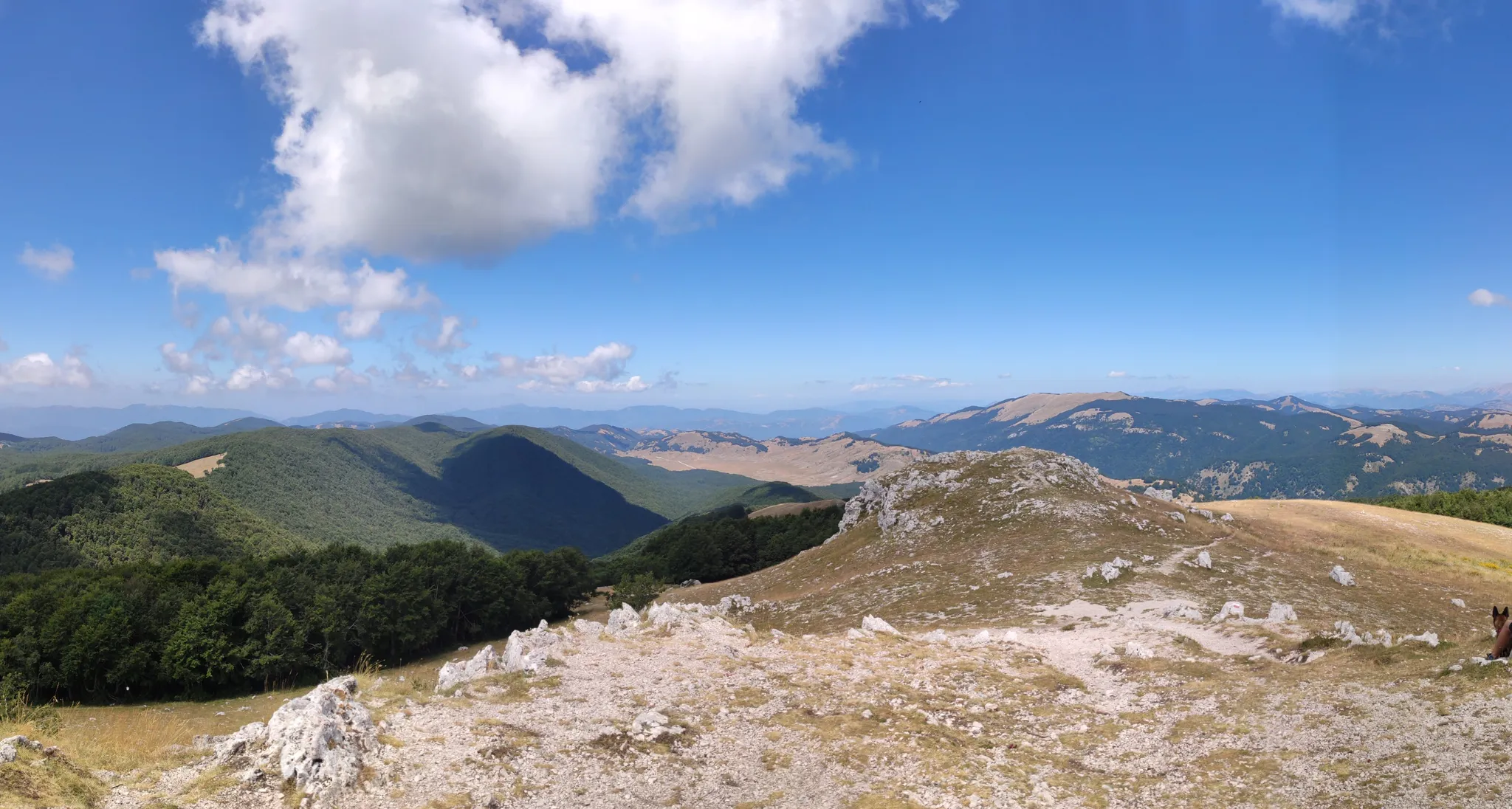
Cammino Naturale dei Parchi – Part 2 Livata to Corvaro
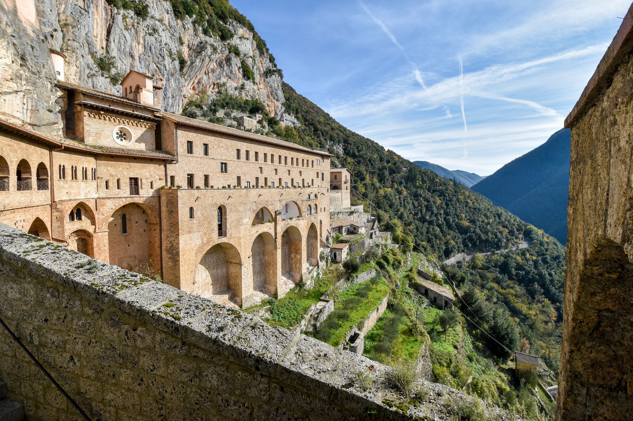
In the Footsteps of Saint Benedict - The Benedict Way

Traffic-free bike rides around Parco Naturale Regionale dei Monti Simbruini

Traffic-free bike rides around Parco Naturale Regionale dei Monti Simbruini
Other adventures around Parco Naturale Regionale dei Monti Simbruini


Tips from the Community

Starting from Campo dell'Osso, at an altitude of 1,750 meters, amid cool beech forests and silence broken only by the sound of tires on the ground. After a short initial stretch on a mixed trail, we immediately enter the heart of Cannavacciari, one of the most evocative trails in the Simbruini Mountains Natural Park. The trail winds steadily downhill, technical yet fluid, for 6.2 km, reaching Campo Secco at 1,340 meters. The elevation gain is significant—about 410 meters—but the varied terrain makes it fun and never boring. Fast sections alternate with tight curves, passages over roots, rocks, and some counter-slopes of up to 19%, reminding us that even on descents, you need to be strong. Every curve offers glimpses of the forest, shady sections, and the scent of pristine nature. The Cannavacciari trail has a touch of the ancient past: it's said to have been a link once used by charcoal burners and shepherds, and today it's beloved by mountain bike enthusiasts for its wild and authentic feel. The trail isn't always marked, so GPS is strongly recommended. Once you reach Campo Secco, an intense experience comes to an end, where every meter has been earned with technique and attention. A must for those who love natural, uncontrived enduro.
0
0

The Simbruini Mountains plateau is a crossroads for interesting and varied trails. Cycling on this plateau, you can take advantage of its connection to a wide variety of destinations, including Livata, Campaegli, Vedute, Cervara, and Fioio. The only drawback is the lack of fountains.
0
0

In the heart of the Aniene Valley, Subiaco is a medieval village rich in history, art and culture. It is immersed in the flora and fauna of the Simbruini Mountains Regional Natural Park.
0
0

I haven't gone yet but I will as soon as I can. Thank you.
0
1

Located at almost 1400 meters above sea level, the Sanctuary of the Holy Trinity dominates the surrounding valleys and is located in front of Monte Autore which reaches 1800 m above sea level
1
0
Subiaco is a town in the heart of the Aniene Valley and is rich in history. It is famous, for example, for its Benedictine monasteries.
1
0
The Cesavolpe Refuge is immersed in the lush nature of the Simbruini Mountains Regional Natural Park.
0
0
Camporotondo is a village in the heart of the Simbruini Mountains Natural Park surrounded by vegetation.
1
1
Frequently Asked Questions
How many no-traffic touring cycling routes are available in Parco Naturale Regionale dei Monti Simbruini?
There are over 30 dedicated no-traffic touring cycling routes in Parco Naturale Regionale dei Monti Simbruini. These routes primarily cater to experienced cyclists, with the majority rated as difficult.
What kind of terrain can I expect on these no-traffic touring cycling routes?
The routes traverse diverse landscapes, from challenging mountain peaks exceeding 2,000 meters to expansive karst plateaus and winding roads through vast beech forests. You'll encounter demanding ascents and rewarding descents, characteristic of the Apennine region.
Are there any circular no-traffic touring cycling routes in the park?
Yes, many of the no-traffic touring cycling routes in Monti Simbruini are designed as loops. For example, you can explore the Monte Calvo Loop from Campaegli or the Jenne - Monti Simbruini Park Loop, offering varied experiences without retracing your path.
What natural features can I discover along the no-traffic touring cycling routes?
The park is rich in natural beauty. You can encounter features like the expansive Prato di Camposecco karst plateau, the picturesque Trevi Waterfalls in Lazio, and numerous crystalline spring water sources. The routes also offer panoramic views from points like the Monte Autore Summit.
Are there any historical or cultural landmarks accessible from these routes?
Yes, the region is dotted with historical towns and sites. While cycling, you might pass through areas near Subiaco, known for its significant Benedictine monasteries, or towns like Jenne and Cervara di Roma, which boast medieval architecture and artistic heritage. These offer a glimpse into the region's rich past.
What is the best time of year for no-traffic touring cycling in Monti Simbruini?
Spring and autumn are generally the best seasons. Spring offers lush greenery and pleasant temperatures, while autumn is particularly stunning as the vast beech forests display vibrant changing colors. Summers can be warm, especially at lower elevations, and winters bring snow to the higher peaks.
Are there family-friendly no-traffic touring cycling options in the Monti Simbruini?
The majority of no-traffic touring cycling routes in Parco Naturale Regionale dei Monti Simbruini are rated as difficult due to significant elevation changes and distances. While there are no routes specifically categorized as easy, experienced families might find some sections manageable. Always check the route details for elevation and distance before setting out.
What do other touring cyclists enjoy most about cycling in Parco Naturale Regionale dei Monti Simbruini?
The area is highly rated by the komoot community, with an average score of 4.4 stars. Reviewers often praise the tranquility of the no-traffic routes, the stunning natural scenery including vast forests and mountain views, and the challenging yet rewarding climbs that lead to breathtaking panoramas.
Are dogs allowed on the no-traffic touring cycling routes?
While the park generally welcomes visitors with dogs, specific regulations may apply to protected areas or certain trails. It's advisable to keep dogs on a leash, especially in areas with wildlife or near livestock. Always check local park signage or the official park website for the most current rules regarding pets on trails.
Are there places to stop for refreshments or accommodation along the routes?
The small towns and villages surrounding the park, such as Subiaco, Jenne, and Filettino, offer various amenities including cafes, restaurants, and accommodation options. While the routes themselves are often remote and traffic-free, planning your stops in these towns is recommended for provisions and rest.
Where can I find parking for my touring bike near the no-traffic routes?
Parking is typically available in the towns and villages bordering the park, such as Subiaco, Jenne, and Campaegli, which serve as common starting points for many routes. Look for designated parking areas within these localities. Specific route descriptions on komoot often provide details on suitable starting points and parking.
Can I reach the Monti Simbruini region by public transport with my touring bike?
Public transport options to the Monti Simbruini region are limited, and carrying bikes on buses or trains can be challenging or require specific permits. It's recommended to check with regional transport providers for their bike policies. Driving to a starting point and parking is often the most convenient option for touring cyclists.
Most popular routes around Parco Naturale Regionale dei Monti Simbruini
Most popular attractions around Parco Naturale Regionale dei Monti Simbruini

Get inspired with the komoot mobile app


Explore more
Browse the best Cycling routes in other regions.
