Attractions and Places To See around StadtForest Muttental - Top 20
Best attractions and places to see around StadtForest Muttental include a blend of historical mining heritage and natural beauty. Situated near Witten in the Ennepe-Ruhr district, this region offers a variety of points of interest. The area is characterized by its tranquil valley, forests, and the Muttenbach stream, providing a scenic backdrop for exploration. It is particularly known for its early coal mining history, with numerous relics and reconstructed sites.
Best attractions and places to see around StadtForest Muttental
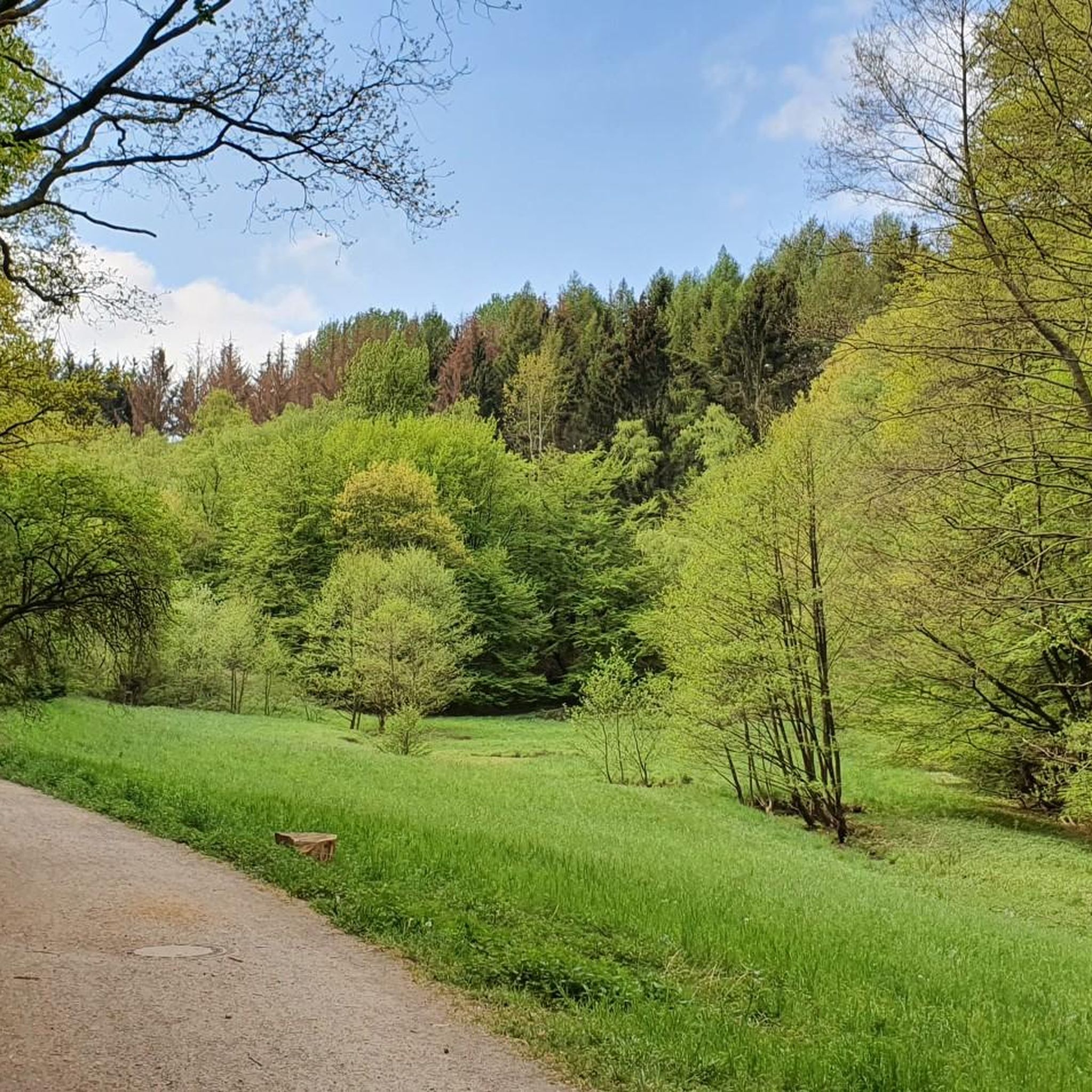
- The most popular attractions is Muttenbach Trail, a trail that flows through a tranquil valley ideal for hiking. It is known for its wild romanticism, forests, and rippling brook, and is believed to be where the first coal in the Ruhr region was found.
- Another must-see spot is Margarethe Shaft, Muttental, a historical site. This old shaft serves as a good starting point for hikes and features information boards detailing the region's early mining history.
- Visitors also love Muttentalbahn Mining Cart Memorial, a man-made monument. This memorial commemorates one of the oldest horse tramways on the European continent, used for coal transport in the 19th century.
- StadtForest Muttental is known for historical sites, natural trails, and man-made monuments. The area offers a variety of attractions to see and explore, focusing on its rich mining past and scenic landscapes.
- The attractions around StadtForest Muttental are appreciated by the komoot community, with more than 2100 upvotes and 190 photos shared.
Last updated: June 23, 2026
Muttentalbahn Mining Cart Memorial
Highlight • Monument
Translated by Google •
Tip by

Muttenbach Trail
Highlight • Trail
Translated by Google •
Tip by

Sign up now to discover places like this
Get recommendations on the best single tracks, peaks, & plenty of other exciting outdoor places.
Sign up for free
Muttenbach
Highlight • River
Translated by Google •
Tip by

Margarethe Shaft, Muttental
Highlight • Historical Site
Translated by Google •
Tip by

Miners’ Prayer House, Witten
Highlight • Historical Site
This prayer house is a late one of its kind and was built in 1830 under the direction of the Bergamt Dortmund. The construction costs of 564 Reichstalern and 15 silver groschen for the building, which was built from rubble, were shared by the nearby Morgenstern, Louisenglück, Turteltaube Nord and Süd mines. Later, the two coal mines Österbank and Aufgottgewagt were added, each with 62 Reichstalers. After seven years, the prayer house was closed again in 1837, because the mines involved stopped their operation in the vicinity or completely closed. The existing inventory was auctioned and the proceeds of 145 Reichstalern disbursed in equal shares to the mines involved.
Translated by Google •
Tip by

Sign up for free to discover even more attractions around StadtForest Muttental.
Sign up for free
Already have an account?
Start today with a free account
Your next adventure awaits.
Login or Signup
Popular around StadtForest Muttental

Tips from the Community

https://www.ruhrgebiet-industriekultur.de/muttental This mining hiking trail was designed between 1972 and 1977
2
0

The Muttental in Witten is a historically significant area for Ruhr mining. The first hard coal in the Ruhr area was probably found here. The Muttental mining hiking trail leads through this picturesque valley and offers numerous insights into the history of mining. Along the approximately 6-kilometer-long circular trail there are almost 30 stations with information boards, monuments and reconstructions. Highlights include the ruins of Hardenstein Castle, the Zeche Nachtigall Industrial Museum and the Zeche Theresia2 Mine and Field Railway Museum. The hiking trail is not only a historical experience, but also a natural experience. The surrounding forests, meadows and the Muttenbach make the trail a popular destination for hikers and nature lovers. Source: KI
1
0

The Muttenbach is a nearly 7½ kilometer long, southern and left-bank tributary of the Ruhr in the south of the city of Witten in North Rhine-Westphalia between the districts of Bommern and Herbede. It characterizes the Muttental, which is now accessible to tourists via the Muttental mining hiking trail. The part of the name Mutte (Lower Saxony for sow, a female domestic pig) refers to the former forest pasture use in this area (cf. acorn fattening). The Muttenbach rises at an altitude of about 200 m above sea level in the field "In der Mutte" south of the district of Durchholz, which belongs to the Witten district of Herbede. It flows in a north-northeast direction through the Muttental, curves to the left and finally flows into the Ruhr from the left east of Herbede at an altitude of about 80 m above sea level. The approximately 7.4 km long course of the Muttenbach ends approximately 119 meters below its source, so it has an average bed gradient of about 16 ‰. Between 1906 and 1910, the "Muttenbach Valley Melioration Cooperative" carried out measures to improve the meadows. For this purpose, small concrete weirs with flat slide valves and branch channels were built in order to flood the meadows in the spring. The first hard coal in the Ruhr area is said to have been found in the Muttental. Coal mining began around 1510 in open-cast mines, and the first documented mention of it can be found in 1552 in the court records of the nearby Hardenstein Castle. The historical role of the Muttental is today represented by the Muttental mining hiking trail, which was created in 1972, the Zeche Nachtigall industrial museum, which opened in 2003, the miners' prayer house built between 1830 and 1831, and various industrial history museum sites. Other sights near the valley are the ruins of Hardenstein Castle, Steinhausen Castle, and the Zeche Theresia mining and narrow-gauge railway museum. Source and link to the full article: https://de.wikipedia.org/wiki/Muttenbach_(Ruhr)
2
0

Informative and interesting route to the cradle of Ruhr mining in a fantastic landscape. Make sure you take your time!
2
1

Attractive circular hike along the Muttental mining path
3
0

The miners' prayer house invites you to take a break with drinks and a small snack.
1
1

My novel #Kohlenscheißer documents the small collieries in Muttental.
3
1

The Muttentalbahn was a railway that was a good six kilometers long and was used in the 19th century to transport coal from the mines in the Muttental in the south-east of the Ruhr area to the coal dumps and the loading stations. It is considered to be one of the oldest horse tramways on the European continent.
8
0
Frequently Asked Questions
What historical mining sites can I explore in StadtForest Muttental?
StadtForest Muttental is renowned for its early coal mining history. You can explore sites like the Margarethe Shaft, Muttental, which serves as a good starting point for hikes with information boards. The Jupiter Mine Entrance (1783), Muttental Mining Trail offers insights into old mining operations, including a replica of a machine house. Don't miss the Miners’ Prayer House, Witten, the last of its kind in the Ruhr area, which once served as a place of prayer and presence control for miners.
Are there any castle ruins to visit in the area?
Yes, the Muttental Trail area is close to the Hardenstein Castle Ruins. These ruins are a prominent landmark located on the middle Ruhr River, offering a great view of the river and surrounded by the Hardenstein Nature Reserve.
What natural attractions are there to see in StadtForest Muttental?
The Muttental Valley itself is a beautiful hiking area. The Muttenbach Trail flows through a tranquil valley, known for its wild romanticism, forests, and the rippling Muttenbach Stream. The surrounding Hardenstein Nature Reserve also provides a natural setting for exploration.
What kind of hiking trails are available in StadtForest Muttental?
You'll find a variety of hiking options. The Muttenbach Trail is a popular choice, offering a mix of idyll and historical sites. For more options, you can explore various routes listed in the Hiking around StadtForest Muttental guide, ranging from easy walks to more challenging mountain hikes.
Are there easy walking paths suitable for everyone?
Absolutely. StadtForest Muttental offers several easy walking paths. For example, the Easy hikes around StadtForest Muttental guide lists routes like the Muttenbach Trail – Muttenbach Stream loop from Hardenstein, which is an easy 5.1 km walk, perfect for a relaxed outing.
Are there options for cycling around StadtForest Muttental?
Yes, the area is popular for cycling. You can find various routes, including the 'View of Muttental – Miners' prayer house loop from Bommern' or the 'Ruhr River – Herbede Weir on the River Ruhr loop from Witten'. More cycling routes are detailed in the Cycling around StadtForest Muttental guide.
Is StadtForest Muttental suitable for families with children?
Many attractions in StadtForest Muttental are family-friendly. Sites like the Margarethe Shaft, Muttental, the Miners’ Prayer House, Witten, and the Muttentalbahn Mining Cart Memorial are suitable for all ages, offering educational and engaging experiences about the region's history.
What is the best time of year to visit StadtForest Muttental?
StadtForest Muttental is beautiful year-round. Spring and autumn offer pleasant temperatures for hiking and cycling, with vibrant foliage. Summer is ideal for enjoying the natural beauty, while winter can provide a serene, quiet experience, though some trails might be muddy or slippery, requiring appropriate footwear.
Are the trails in StadtForest Muttental dog-friendly?
Generally, the natural trails in StadtForest Muttental are dog-friendly, making it a great place to explore with your canine companion. However, it's always recommended to keep dogs on a leash, especially in nature reserves or near historical sites, and to respect local regulations.
How can I get to StadtForest Muttental by public transport or car?
StadtForest Muttental is situated near Witten in the Ennepe-Ruhr district. For car visitors, there are parking facilities available, such as near the Margarethe Shaft, Muttental. Public transport options are available to Witten, from where local buses or a short taxi ride can take you to the main attractions.
What is the significance of the Muttentalbahn Mining Cart Memorial?
The Muttentalbahn Mining Cart Memorial commemorates one of the oldest horse tramways on the European continent. This railway, over six kilometers long, was used in the 19th century to transport coal from the mines in the Muttental to loading stations, playing a crucial role in the region's industrial development.
Are there any viewpoints in StadtForest Muttental?
While specific viewpoints are not highlighted, the Hardenstein Castle Ruins offer a great view of the Ruhr River. The natural trails throughout the Muttental Valley also provide scenic vistas of the tranquil valley, forests, and the Muttenbach Stream.
Most popular routes around StadtForest Muttental

Get inspired with the komoot mobile app


Explore more
Still not found the Highlight you’re looking for? See guides of the top attractions in other regions:
