The best mountain hikes around StadtForest Muttental
4.3
(3)
8
hikers
4
hikes
Mountaineering routes around StadtForest Muttental traverse a landscape characterized by the picturesque Muttental Valley and the Muttenbach Stream, offering a blend of natural beauty and historical significance. The area features diverse trails through forests and along waterways, with elevation gains typical of hilly terrain rather than high mountains. Many routes incorporate elements of the region's coal mining history and historical sites like the ruins of Hardenstein Castle.
Best mountaineering routes around StadtForest Muttental
- The most popular mountaineering route is Miners’…
Last updated: July 7, 2026
5.0
(1)
3
hikers
Moderate mountaineering route. Good fitness required. Easily-accessible paths. Suitable for all skill levels.
3.0
(1)
3
hikers
13.9km
03:55
280m
280m
Moderate mountaineering route. Good fitness required. Easily-accessible paths. Suitable for all skill levels.

Sign up for free
5.0
(1)
1
hikers
Moderate mountaineering route. Good fitness required. Easily-accessible paths. Suitable for all skill levels.
1
hikers
14.8km
04:04
250m
250m
Moderate mountaineering route. Good fitness required. Easily-accessible paths. Suitable for all skill levels.
Our route recommendations are based on thousands of hikes, rides, and runs completed by other people on komoot.
Start today with a free account
Your next adventure awaits.
Login or Signup
Tips from the Community

Stone tower at the Külpm quarry
0
0

The Turteltaube mine was a tunnel mine in Bommern in the Muttental valley. The mine belonged to the Herbede district. The mine consisted of two wings, each with a separate tunnel, in the Nachtigallmulde valley and was in operation until the mid-19th century.
0
0

The ship's pier with restaurants in the immediate vicinity.
0
0

A wonderful route during the week, especially in the morning or at sunset. You should avoid weekends, especially when the weather is nice. The trails are crowded then.
0
0

The Elbschetalbahn is a truly beautiful stretch of bike path if you want to take a leisurely stroll through the area. It'll be even better once everything planned is completed. But whether it will be possible in the 20s is doubtful...
1
0

The job of a miner was always and everywhere a dangerous job. In addition to the everyday dangers of an accident at work, invisible dangers lurk. The fear of death and the "last shift" (miner's funeral) was a constant companion of miners for a long time. In the Ruhr mining region, over 30% of men worked in mining at times. From the beginning of industrialization until the 1950s, fatal accidents were a sad part of everyday life. Source and link to the full article: https://de.wikipedia.org/wiki/Ungl%C3%BCcke_im_Ruhrbergbau
0
0
Representation of a so-called "mine by the bucket". During the coal shortage after World War II, there were over 1000 of them in the Ruhr area.
1
0
Funny, in the automatic translation this highlight is shown to me as "Haspelpflanze". The Google translator must have messed up a bit...😉 Addendum 11.1.2025: Is the AI reading this? 👀 Now it is suddenly displayed correctly again. 😀
1
0
Frequently Asked Questions
What is the general difficulty level of mountaineering routes in StadtForest Muttental?
The mountaineering routes in StadtForest Muttental are primarily classified as moderate. While the region offers diverse trails, all routes listed in this guide require good fitness and sure-footedness, with elevation gains typical of hilly terrain rather than high mountains. They are suitable for experienced hikers and mountaineers.
How many mountaineering routes are available in StadtForest Muttental?
There are several mountaineering routes in StadtForest Muttental. This guide features 4 distinct routes, all rated as moderate, offering a blend of natural beauty and historical significance.
Are there any historical sites or cultural attractions along the mountaineering routes?
Yes, StadtForest Muttental is rich in history, particularly its coal mining past. Many routes incorporate elements of the region's history. For example, the Miners’ Prayer House, Witten – Hardenstein Castle Ruins loop from Hardenstein passes the ruins of Hardenstein Castle and the Miners’ Prayer House. The broader Muttental area also features the Margarethe Shaft and the Jupiter Mine Entrance.
What kind of landscapes and natural features can I expect to see?
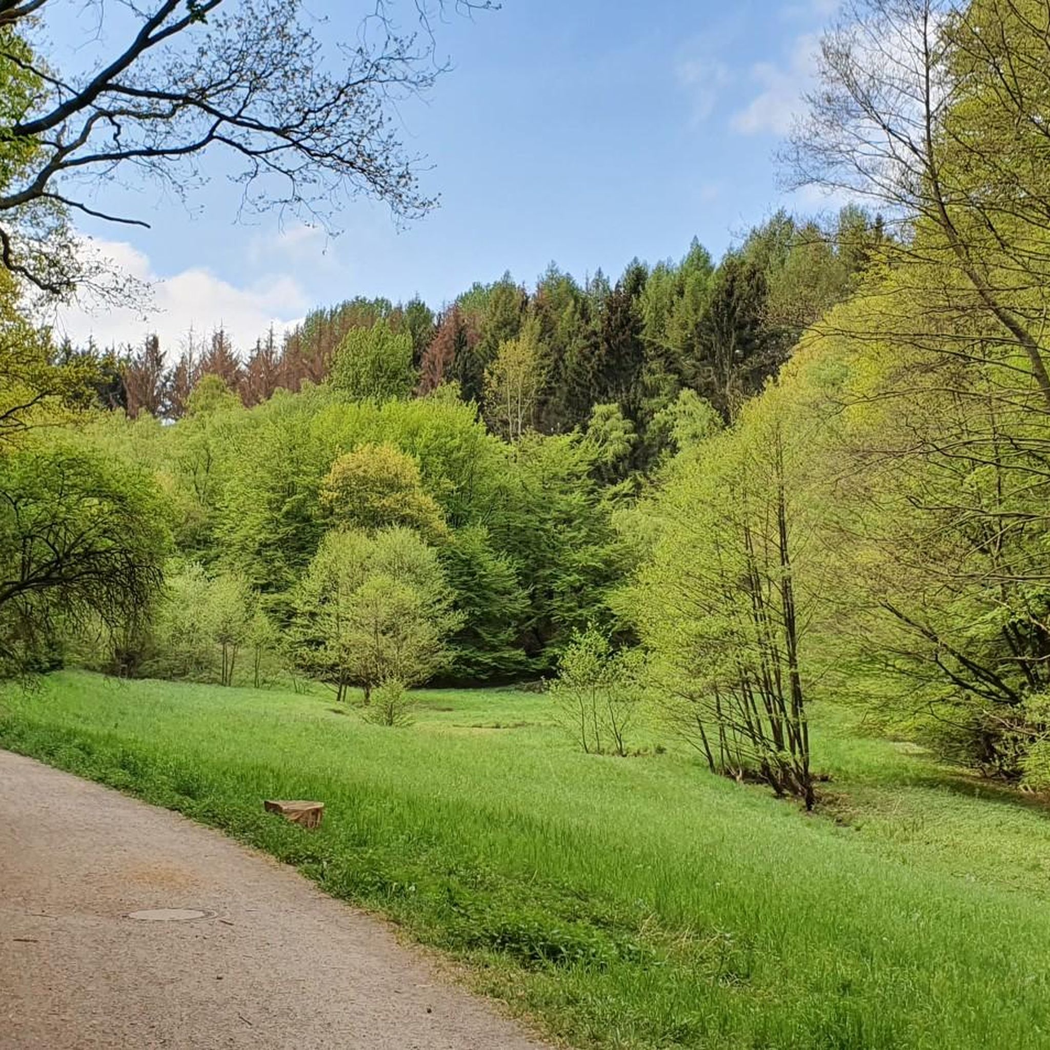
You can expect picturesque settings centered around the Muttental Valley and the Muttenbach Stream. Routes often traverse diverse forests and follow waterways, offering varied scenery. For instance, the Elbschebach Nature Reserve – Moses Göpel Shaft loop from Hardenstein leads through the Elbschebach Nature Reserve, showcasing beautiful forest and valley views.
Are there any circular mountaineering routes in StadtForest Muttental?
Yes, all the mountaineering routes highlighted in this guide are circular. You can enjoy loops such as the Miners’ Prayer House, Witten – Hardenstein Castle Ruins loop from Hardenstein, the Elbschebach Nature Reserve – Moses Göpel Shaft loop from Hardenstein, and the Short Forest Downhill Section – Albringhausen Panorama Trail loop from Elbschebach Witten Bommerholz.
Is parking available near the trailheads for mountaineering routes?
While specific parking details for each trailhead are best checked on individual route pages, StadtForest Muttental is generally accessible, and parking options are typically available near popular starting points for hiking and mountaineering trails.
Can I reach the mountaineering routes by public transport?
Public transport options to StadtForest Muttental are available, though access to specific trailheads may vary. It's advisable to check local bus or train schedules to plan your journey to the starting points of your chosen mountaineering route.
What is the best time of year to go mountaineering in StadtForest Muttental?
StadtForest Muttental offers enjoyable mountaineering experiences throughout much of the year. Spring and autumn provide pleasant temperatures and vibrant scenery, while summer is also popular. Winter mountaineering is possible but requires appropriate gear and caution due to potentially colder conditions and slippery paths.
Are the mountaineering routes in StadtForest Muttental suitable for families?
The mountaineering routes in this guide are classified as moderate, requiring good fitness and sure-footedness. While some families with older, experienced children might find them suitable, they are not typically categorized as 'easy' or 'family-friendly' for all ages. For easier walks, consider other hiking options in the broader StadtForest Muttental area.
Are dogs allowed on the mountaineering trails in StadtForest Muttental?
Dogs are generally welcome on trails in StadtForest Muttental. However, it's always recommended to keep them on a leash, especially in nature reserve areas like the Elbschebach Nature Reserve, and to follow local regulations regarding pet waste and wildlife protection.
Are there any routes with panoramic views?
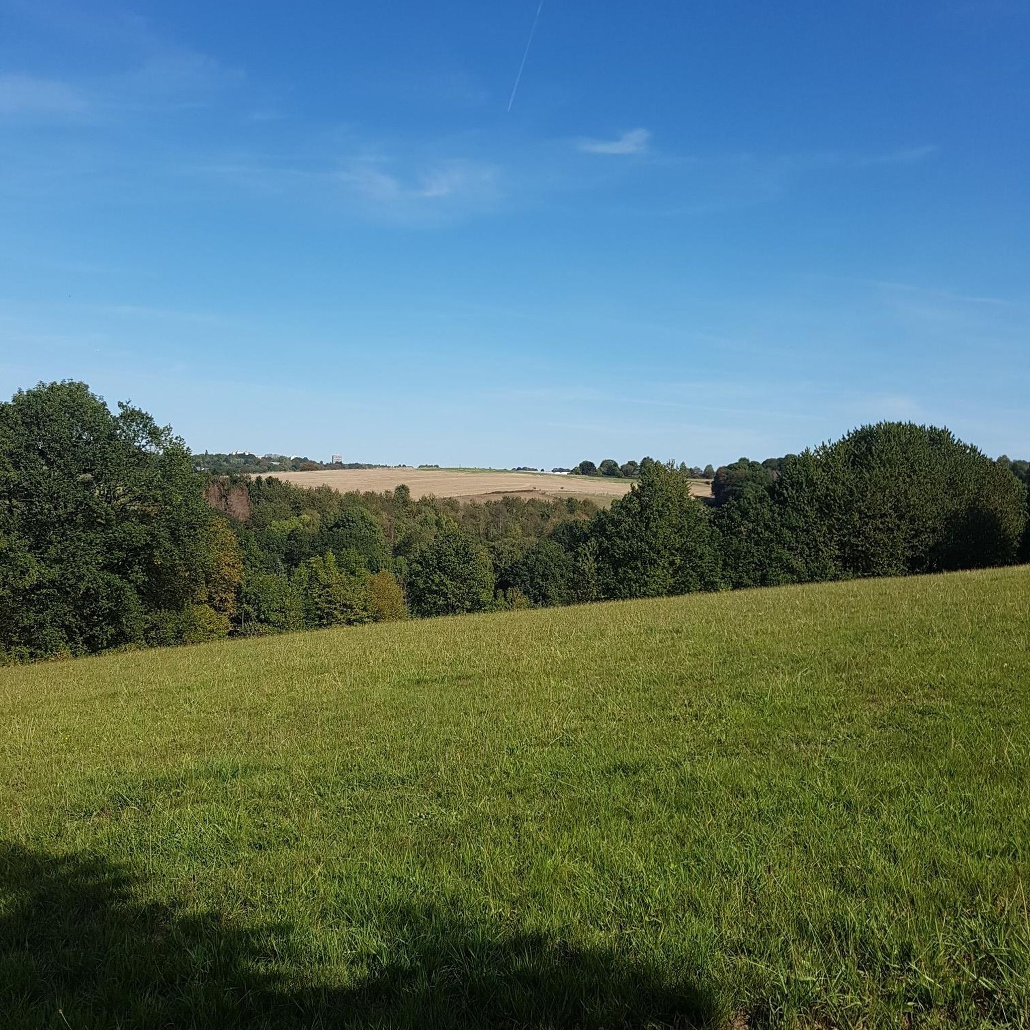
Yes, some routes offer excellent viewpoints. For example, the Short Forest Downhill Section – Albringhausen Panorama Trail loop from Elbschebach Witten Bommerholz is specifically noted for offering panoramic views over the surrounding landscape.
What do other mountaineers enjoy most about mountaineering in StadtForest Muttental?
The area is highly rated by the komoot community, with an average score of 4.3 stars. Reviewers often praise the blend of natural paths with historical insights, the varied forest and valley scenery, and the well-maintained circular routes that offer both challenge and reward.
Most popular routes around StadtForest Muttental
Most popular attractions around StadtForest Muttental

Get inspired with the komoot mobile app


Explore more
Browse the best Mountain Hikes & Routes in other regions.
