Yorkshire Dales National Park
Yorkshire Dales National Park
The best hikes from bus stations in Yorkshire Dales National Park
4.6
(10266)
87,657
hikers
808
hikes
Bus station hiking trails in Yorkshire Dales National Park traverse a landscape characterized by dramatic limestone formations, including cliffs, pavements, and gorges, alongside expansive valleys and moorlands. The region features notable natural elements such as waterfalls and upland lakes. This diverse terrain offers a range of hiking experiences, from gentle riverside paths to challenging ascents of prominent peaks. The park's geology and varied topography provide a rich environment for outdoor exploration.
Best bus station hiking trails in Yorkshire Dales National…
Last updated: July 13, 2026
4.7
(6)
46
hikers
Hard hike. Good fitness required. Sure-footedness, sturdy shoes and alpine experience required.
1
hikers
2.99km
00:51
70m
70m
Easy hike. Great for any fitness level. Easily-accessible paths. Suitable for all skill levels.

Sign up for free
4.9
(102)
723
hikers
15.7km
04:27
330m
330m
Hard hike. Good fitness required. Sure-footedness, sturdy shoes and alpine experience required.
4.8
(54)
501
hikers
Moderate hike. Good fitness required. Easily-accessible paths. Suitable for all skill levels.
4.8
(51)
348
hikers
19.7km
05:28
350m
350m
Hard hike. Very good fitness required. Easily-accessible paths. Suitable for all skill levels.
Get access to more routes and recommendations from other explorers.
Sign up for free
Already have an account?
Our route recommendations are based on thousands of hikes, rides, and runs completed by other people on komoot.
Start today with a free account
Your next adventure awaits.
Login or Signup
Popular around Yorkshire Dales National Park
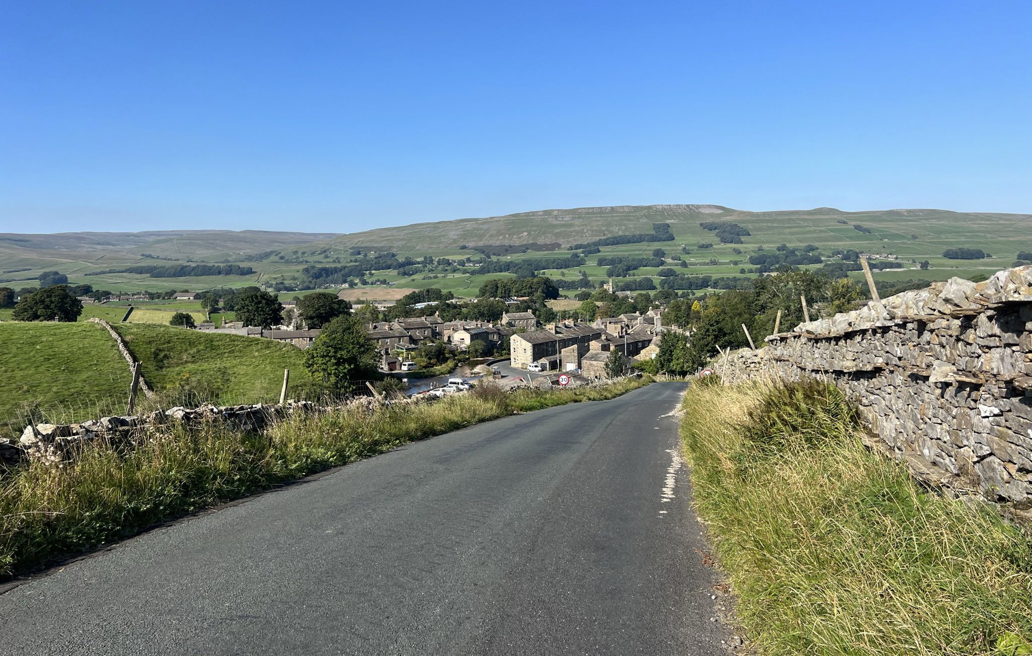
Yorkshire Dales National Park – A Walk in the Parks
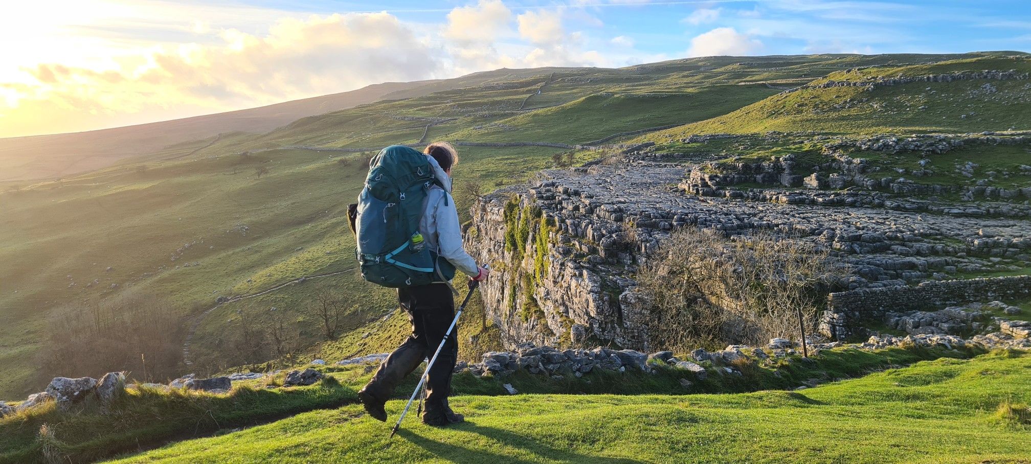
A Dales High Way – Hiking in winter
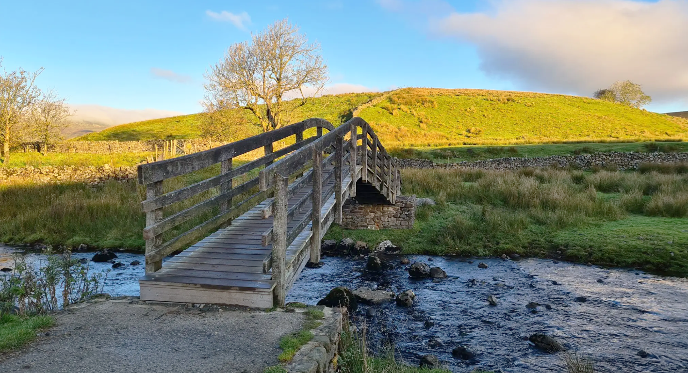
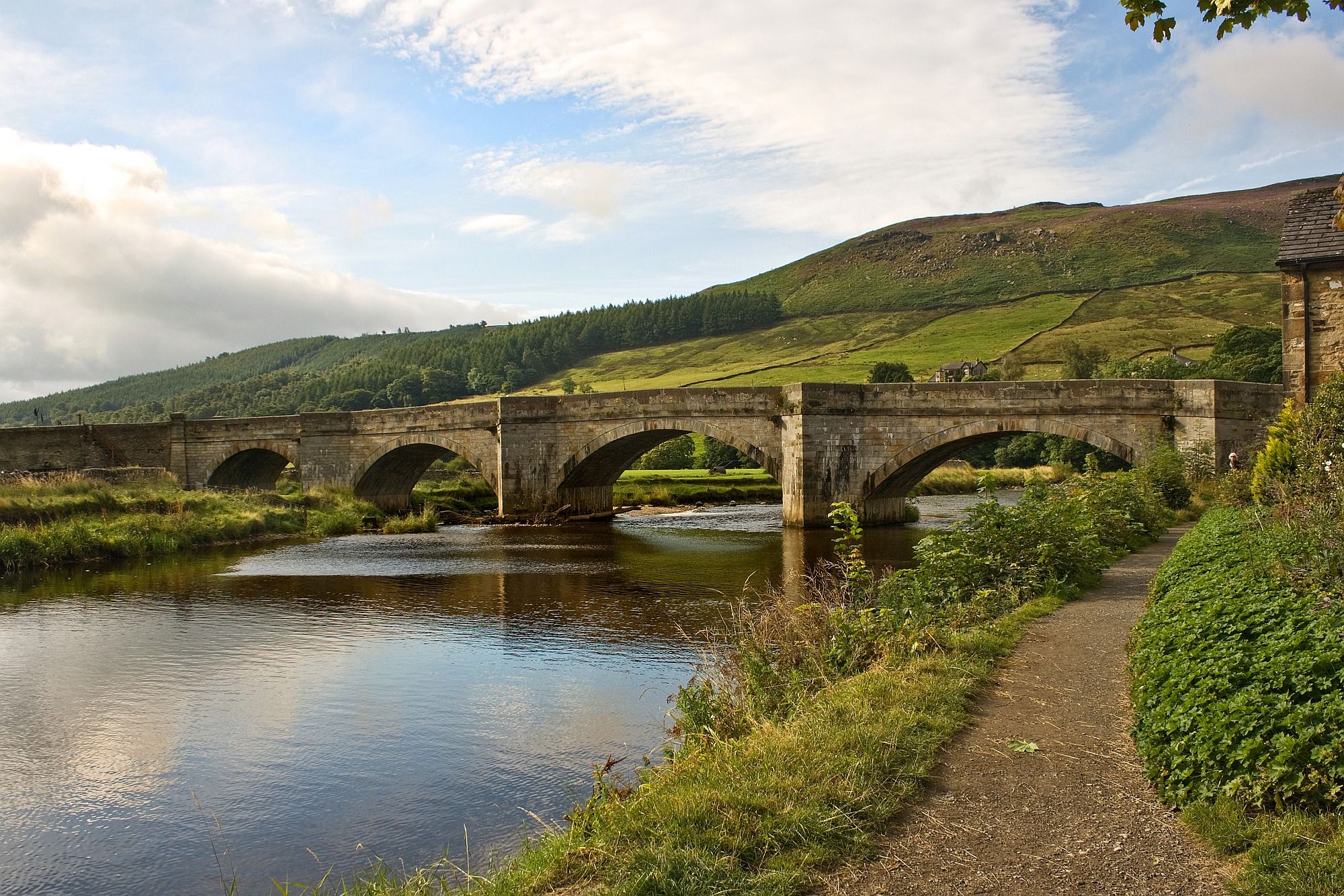
Ribble Way — A remarkable river ramble into the heart of the Dales
Hiking Lady Anne's Way — A marriage of exquisite scenery and ancient history
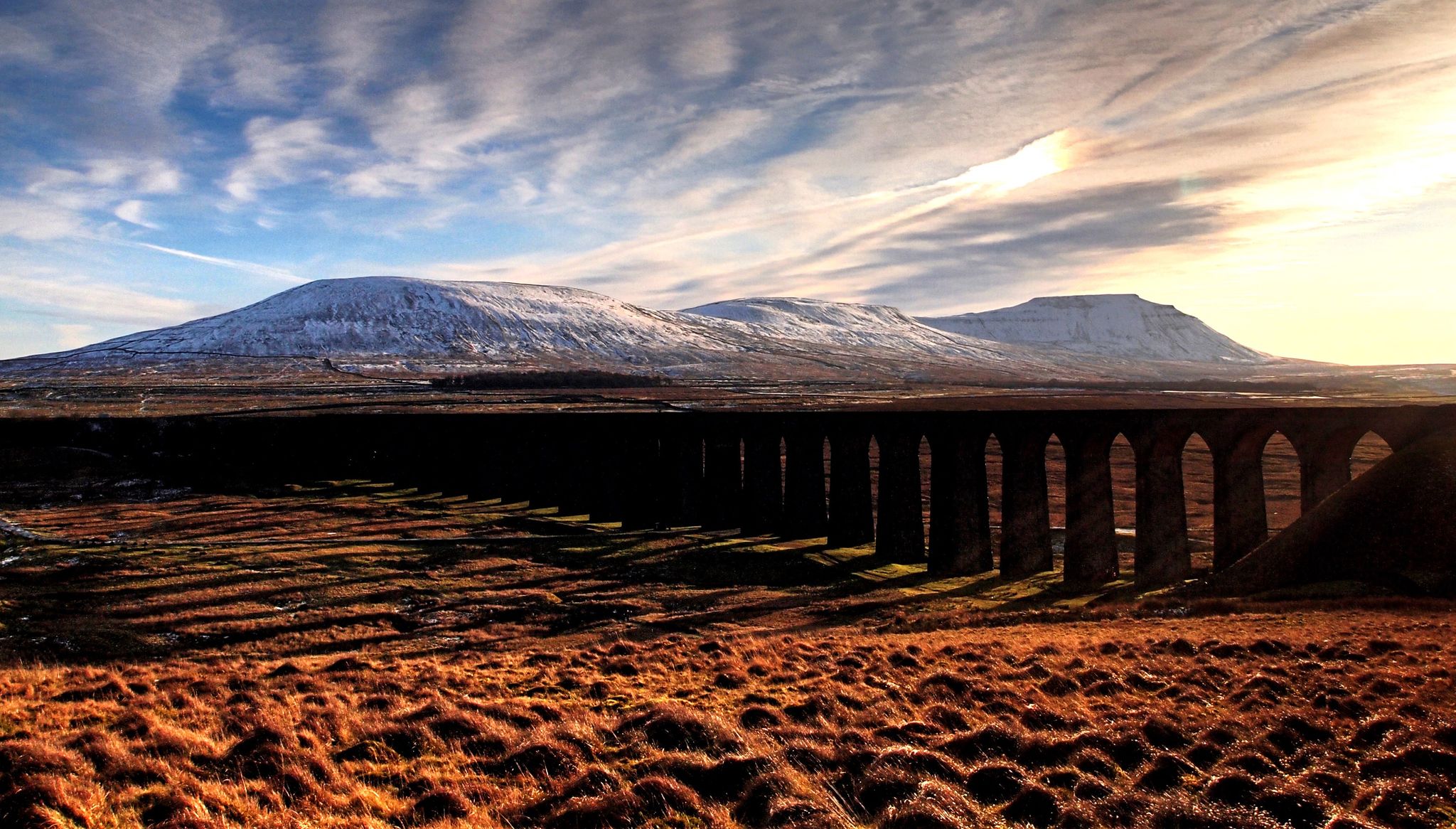
A Dales High Way – Yorkshire's beautiful backbone
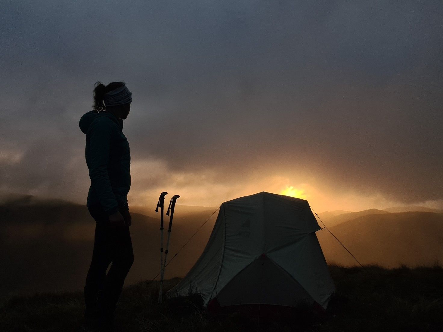
#WalkHome2020 — Sheffield to Cockermouth in 15 days
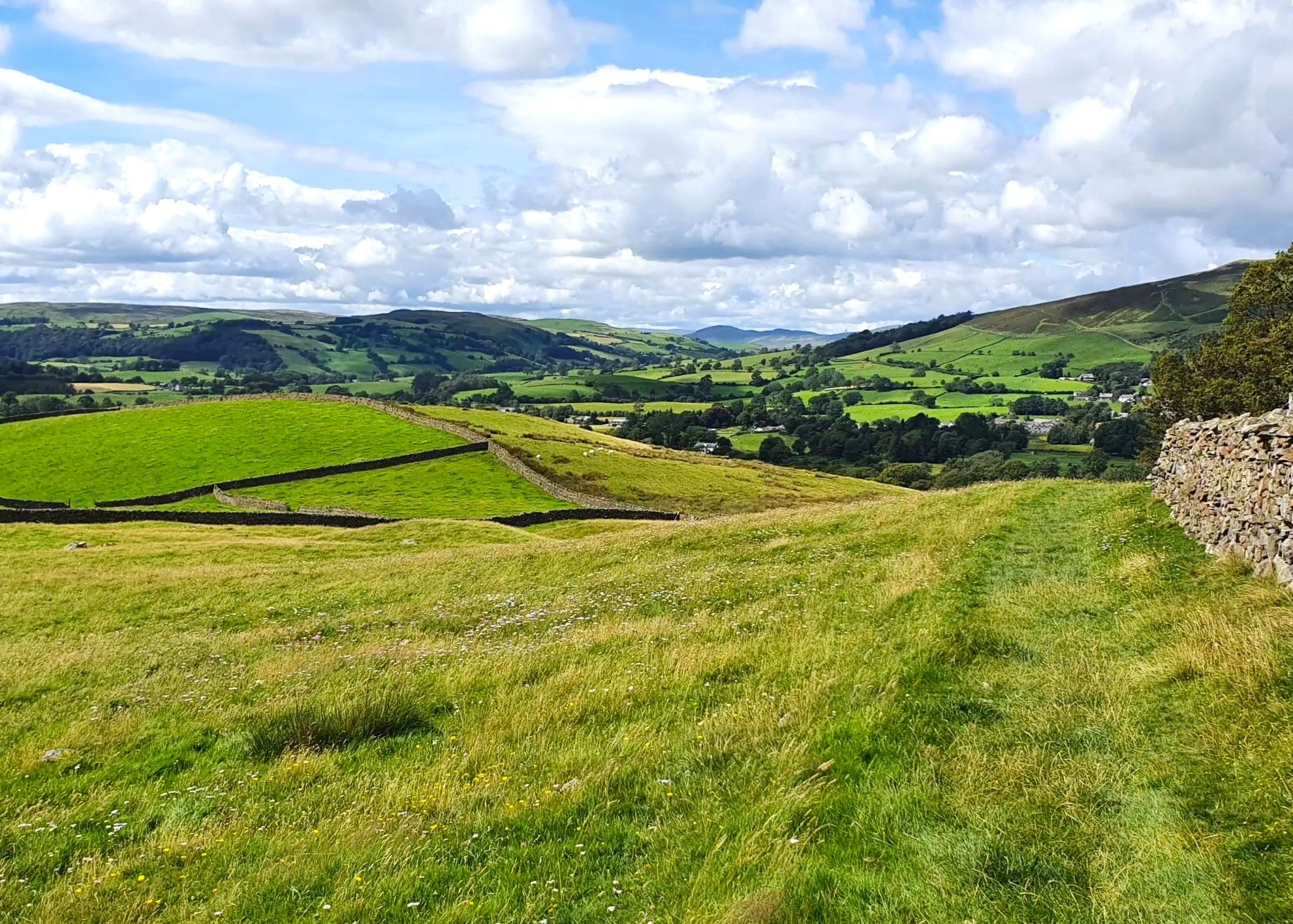
Dales Way — Quintessential English countryside at its best
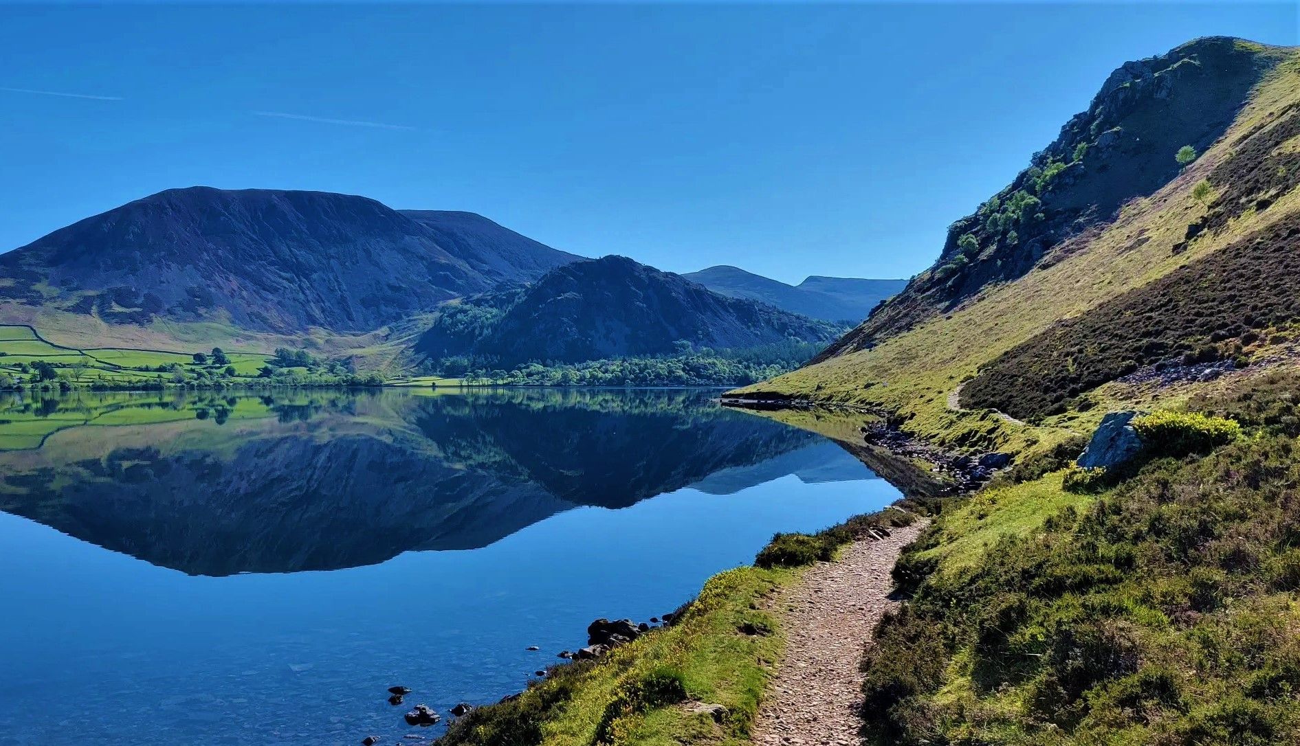
Wainwright's Coast to Coast — Hike the width of England in 13 stages
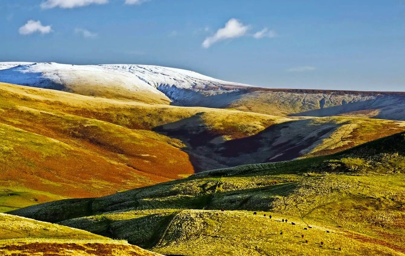
Pennine Way – Take on England's ultimate long-distance hike
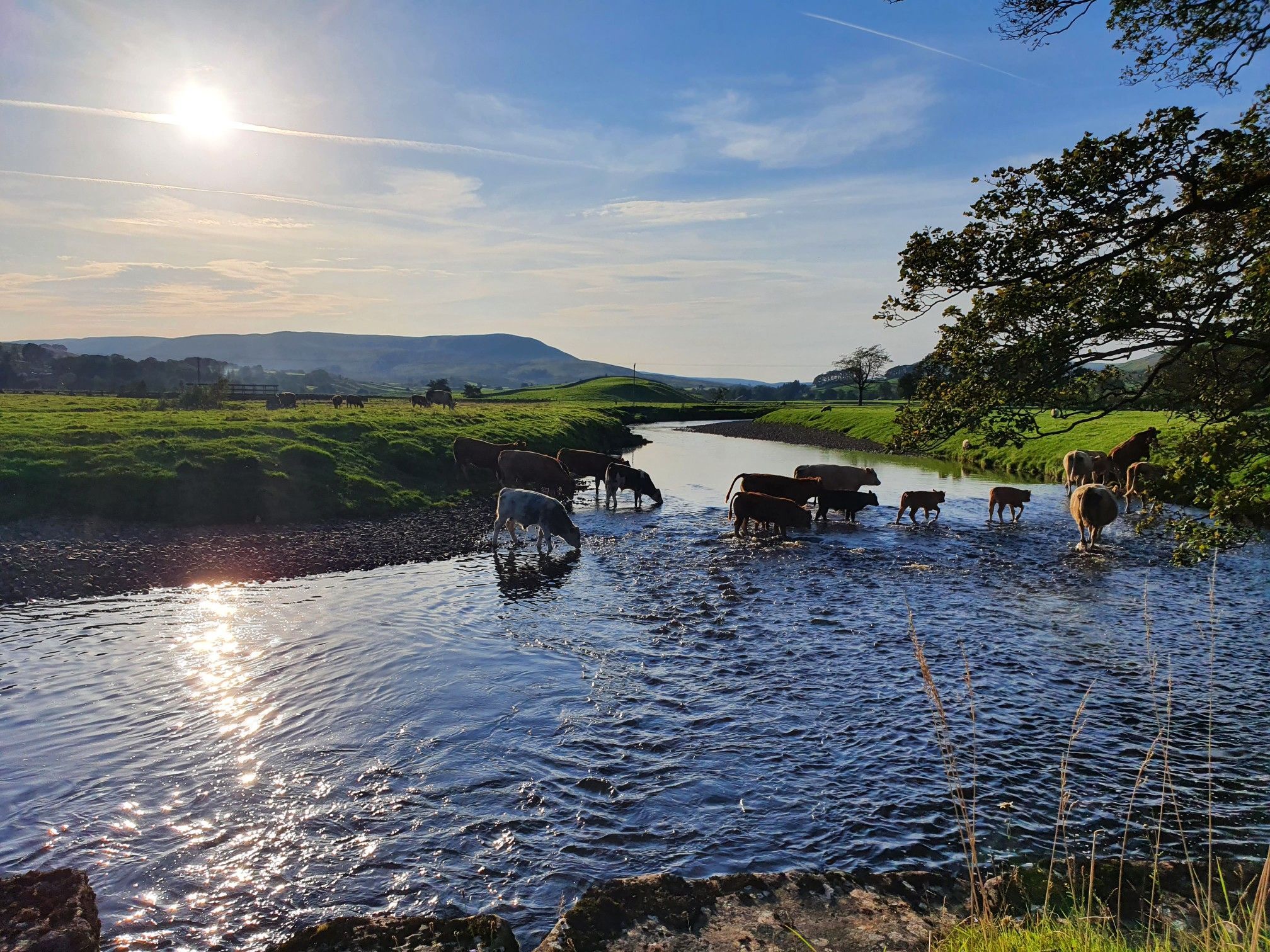
Hike alongside all creatures great and small – Herriot Way
Other adventures in Yorkshire Dales National Park


Tips from the Community

The pub is a community-owned pub as of August 2024, purchased for the benefit of locals and visitors.
0
0

The Tarn and adjacent raised-bog have been designated as a National Nature Reserve (NNR) and are owned and managed by the National Trust
0
0


This is a great short walk with plenty of step to the top of the cove
0
0


Where the scene in Harry Potter was filmed where Harry and Hermione sat in the Deathly Hallows. Harry & Hermione set up camp in a tent on the Limestone Pavement at the top of Malham Cove, scenes from the film feature views across Malhamdale including the view to Cawden and down to Malham Village and Kirkby Malham. There is amazing views from this point over the scarred landscape. Malham Cove is a 70m (230ft) high curved crag of carboniferous limestone formed after the last ice age. Meltwater, particularly from Malham Tarn, cut back the cove as it fell over the edge as a waterfall. This erosion took place more actively at the lip of the fall, hence the curved shape. The cove was formed by glaciers that plucked rock from the cliff face and carried it away, and by meltwater that eroded the cliff face after the glaciers melted. The top of the cove is a limestone pavement with a distinctive pattern of limestone blocks called clints and fissures called grykes. The grykes have a more humid and warmer microclimate than the pavement, which supports different plant life. The top of the limestone has dry, stony conditions that support plants like Rock Rose and Thyme. Malham Cove once had a waterfall that was larger than Niagara Falls. The last time water flowed over the waterfall was in the 19th century, until extreme rain in 2015. Malham Cove is a short walk from the village of Malham, and is popular with rock climbers. Malham Cove has been featured in several films and TV shows, including Wuthering Heights, the previously mentioned Harry Potter and the Deathly Hallows, and The Trip.
1
0
Frequently Asked Questions
How many bus station hiking trails are available in Yorkshire Dales National Park?
There are over 800 hiking routes in Yorkshire Dales National Park that are accessible from bus stations. These include a wide range of difficulties, with over 230 easy routes, more than 450 moderate routes, and over 120 challenging options for experienced hikers.
What kind of natural features can I expect to see on bus-accessible trails?
The Yorkshire Dales are famous for their dramatic limestone scenery, including impressive formations like Malham Cove with its unique clint and grike pavement, and the hidden gorge of Gordale Scar Waterfall. Many routes also feature picturesque waterfalls such as Janet's Foss and Aysgarth Lower Falls, as well as tranquil valleys and expansive moorlands.
Are there any family-friendly bus-accessible walks?
Yes, the region offers many family-friendly options. Look for routes with 'easy' difficulty ratings, which often feature gentler terrain and shorter distances. For example, the Brackenslack Lane loop from Maulds Meaburn is an easy 3 km walk suitable for families.
Can I find circular routes that start and end at a bus stop?
Many of the bus-accessible trails in the Yorkshire Dales are designed as circular routes, allowing you to return to your starting point without needing additional transport. For instance, the Janet's Foss – Gordale Scar Waterfall loop from Malham is a popular circular option.
What do other hikers enjoy most about bus-accessible hiking in Yorkshire Dales National Park?
The komoot community highly rates hiking in the Yorkshire Dales, with an average score of 4.6 stars from over 9,400 ratings. Hikers frequently praise the stunning and varied landscapes, the accessibility of trails from public transport, and the opportunity to discover iconic natural landmarks like Malham Cove and Janet's Foss.
Are there any routes that feature waterfalls near bus stops?
Absolutely. The Yorkshire Dales are home to numerous waterfalls, many of which are accessible from bus routes. The area around Malham is particularly rich, with trails leading to Janet's Foss and Gordale Scar Waterfall. The East Gill Force – Muker Wildflower Meadows loop from Keld also features a beautiful waterfall.
What kind of terrain should I expect on these trails?
The terrain in the Yorkshire Dales is diverse. You'll encounter well-maintained paths, grassy tracks through valleys, and rocky ascents on higher ground. Limestone pavements, like those found at Malham Cove, offer unique walking surfaces. Some routes, especially those rated 'difficult,' may involve steep climbs and uneven ground, so appropriate footwear is essential.
Are there any long-distance or challenging bus-accessible hikes?
Yes, for those seeking a challenge, there are longer and more demanding routes. The Yorkshire Dales: Malham Cove and Gordale Scar route is a difficult 8 km hike, while the Janet's Foss – Limestone Pavement at Malham Cove loop from Kirkby Malham extends to nearly 20 km, offering a full day's adventure.
What is the best time of year to hike from bus stations in the Yorkshire Dales?
Spring and summer (April to September) generally offer the most pleasant hiking conditions with warmer weather and longer daylight hours. Spring brings vibrant wildflowers to the dales, while autumn showcases beautiful foliage. Some higher routes can be exposed and challenging in winter, but lower valley walks remain accessible, though conditions can be wet and muddy.
Are there any specific points of interest or landmarks I can visit on these trails?
Beyond the natural wonders, many trails pass by or lead to significant landmarks. You can explore the dramatic limestone formations of Malham Cove and Gordale Scar Waterfall. The region also features historic sites and picturesque villages. Some routes might even offer views of famous mountain passes like Buttertubs Pass or Park Rash.
Where can I find information about bus schedules for accessing these trailheads?
For up-to-date bus schedules and routes within the Yorkshire Dales National Park, it is best to consult the official public transport websites or local tourist information centers. Planning your journey in advance will help ensure a smooth start and end to your hike.
Most popular routes in Yorkshire Dales National Park
Most popular attractions in Yorkshire Dales National Park

Get inspired with the komoot mobile app


Explore more
Browse the best Hikes in other regions.
