The best hikes from bus stations in the Apennine Mountains
4.4
(64040)
290,348
hikers
5,316
hikes
Bus station hiking trails in the Apennine Mountains traverse Italy's central mountain range, characterized by diverse landscapes. The region features rugged peaks, extensive forests, alpine meadows, and rolling hills. Hikers encounter varied terrain, from dirt paths and gravel roads to ancient stone routes, with elevations reaching nearly 3,000 meters at Corno Grande. The Apennines are shaped by limestone and dolomite formations, creating dramatic gorges and offering coastal views in areas like Cinque Terre.
Best bus station hiking trails in the…
Last updated: July 9, 2026
4.8
(774)
4,636
hikers
22.6km
09:06
1,300m
1,300m
Embark on Liguria Trail - Stage 4, a challenging hike that covers 14.0 miles (22.6 km) with a significant elevation gain of 4262 feet (1299 metres). This route takes you…
4.8
(617)
4,182
hikers
11.5km
04:39
820m
820m
Embark on the Corniglia to Manarola via Volastra Trail, a moderate hike that takes you through the heart of Cinque Terre's terraced landscapes. You'll navigate varied terrain, from ancient stone…

Sign up for free
4.8
(335)
2,570
hikers
18.9km
07:34
1,140m
1,140m
The Sentiero Verde Azzurro offers a challenging coastal hike connecting the famous Cinque Terre villages. You'll navigate a difficult 11.8-mile (18.9 km) route, gaining 3740 feet (1140 metres) in elevation,…
4.7
(210)
1,176
hikers
6.95km
02:33
300m
300m
Embark on Stage 10 of the Liguria Trail, a moderate hiking route that offers a challenging yet rewarding experience through varied terrain. You will cover 4.3 miles (6.9 km) with…
4.6
(87)
464
hikers
14.1km
06:04
920m
910m
The Route Camogli – Batterie – San Fruttuoso is a difficult hike through the Portofino Regional Natural Park, offering grand coastal views. You will cover 8.7 miles (14.1 km) with…
Get access to more routes and recommendations from other explorers.
Sign up for free
Already have an account?
Our route recommendations are based on thousands of hikes, rides, and runs completed by other people on komoot.
Start today with a free account
Your next adventure awaits.
Login or Signup
Popular around Apennine Mountains
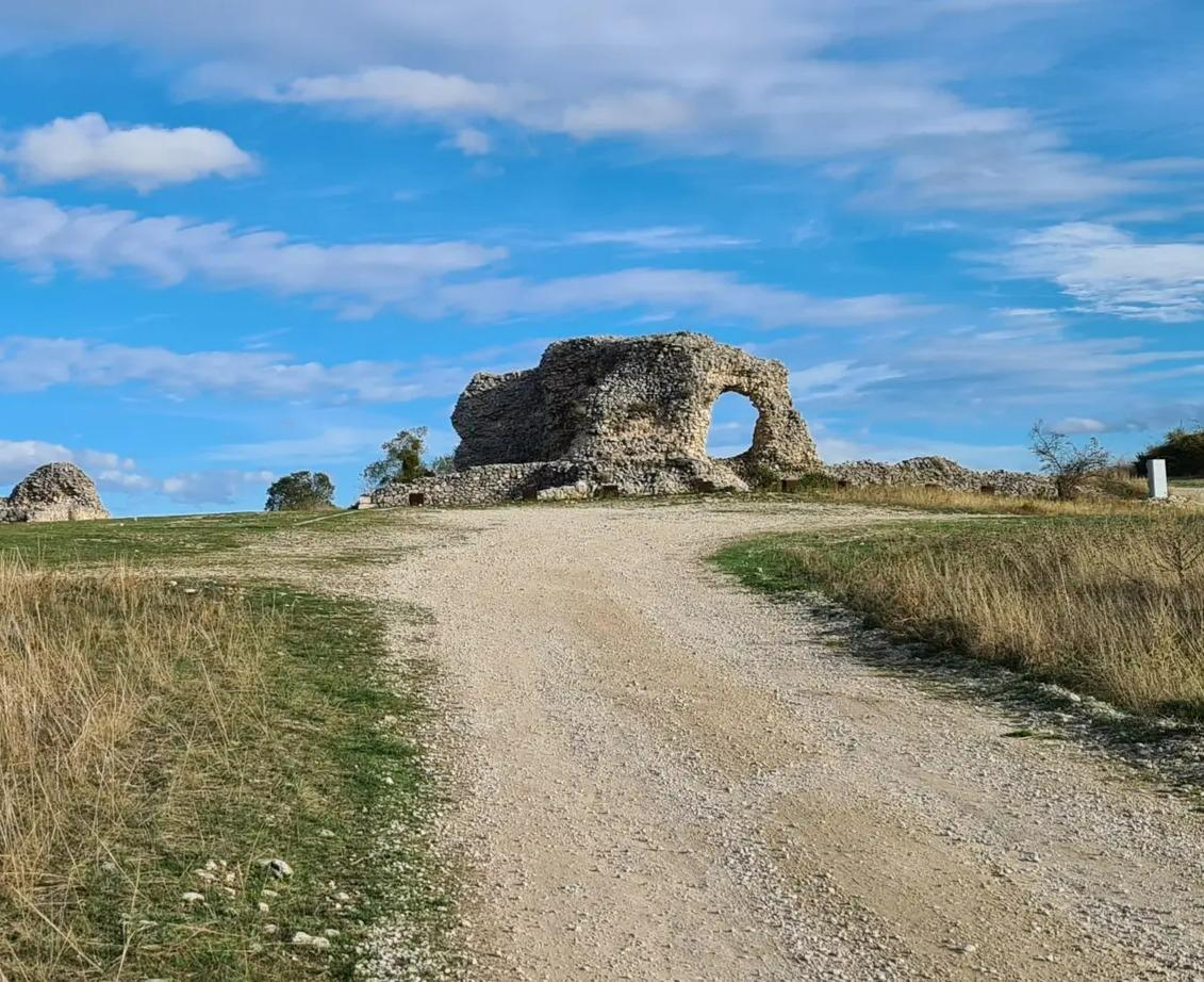
Tratturo Magno – On the roads of transhumance
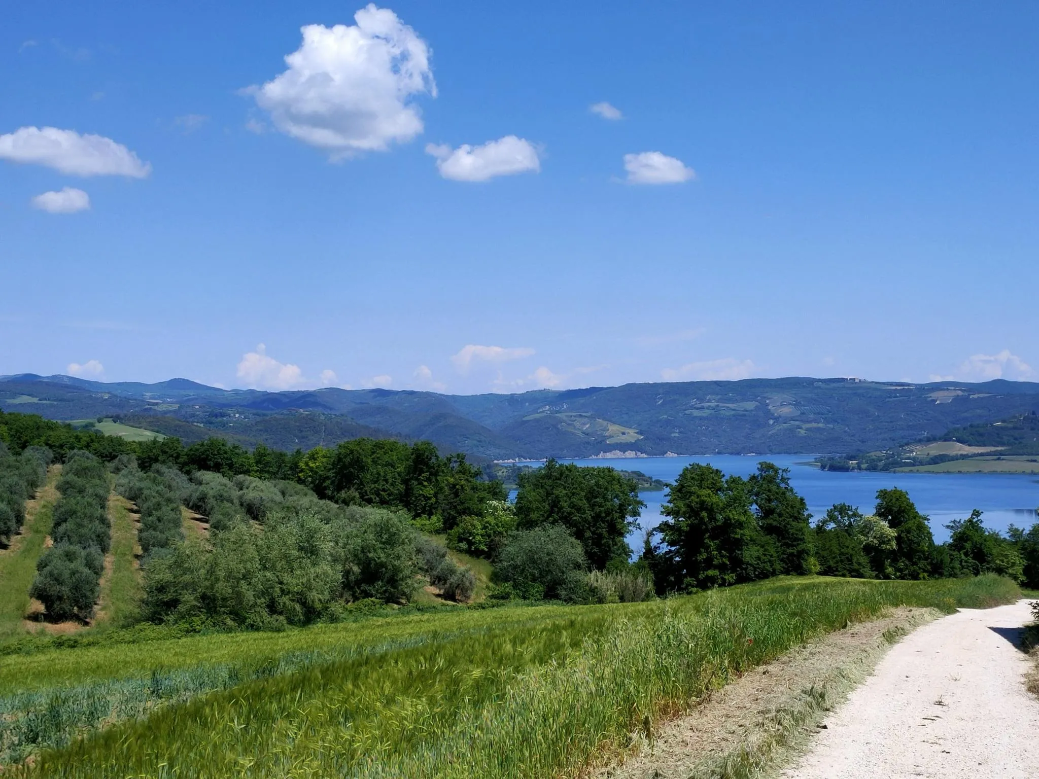
Italian Coast2Coast – From Portonovo to Orbetello
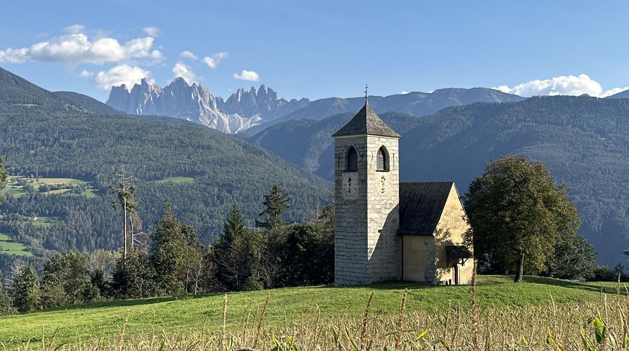
Via Romea Germanica – History, nature and spirituality
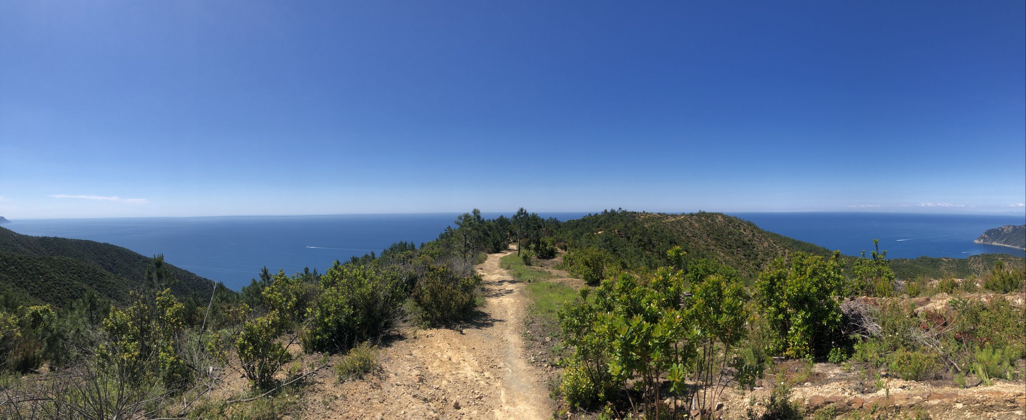
Via della Costa – A breathtaking hike along the Italian Riviera
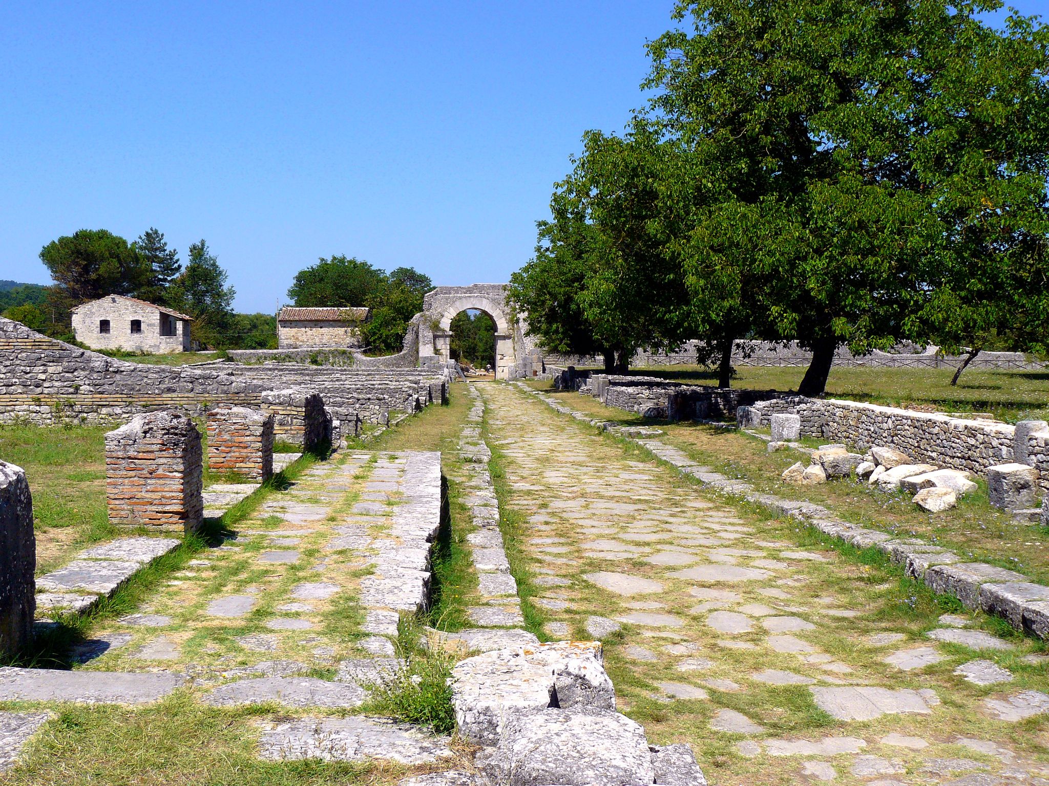
Sentiero Italia – On the tracks of the Samnites and Romans in Molise
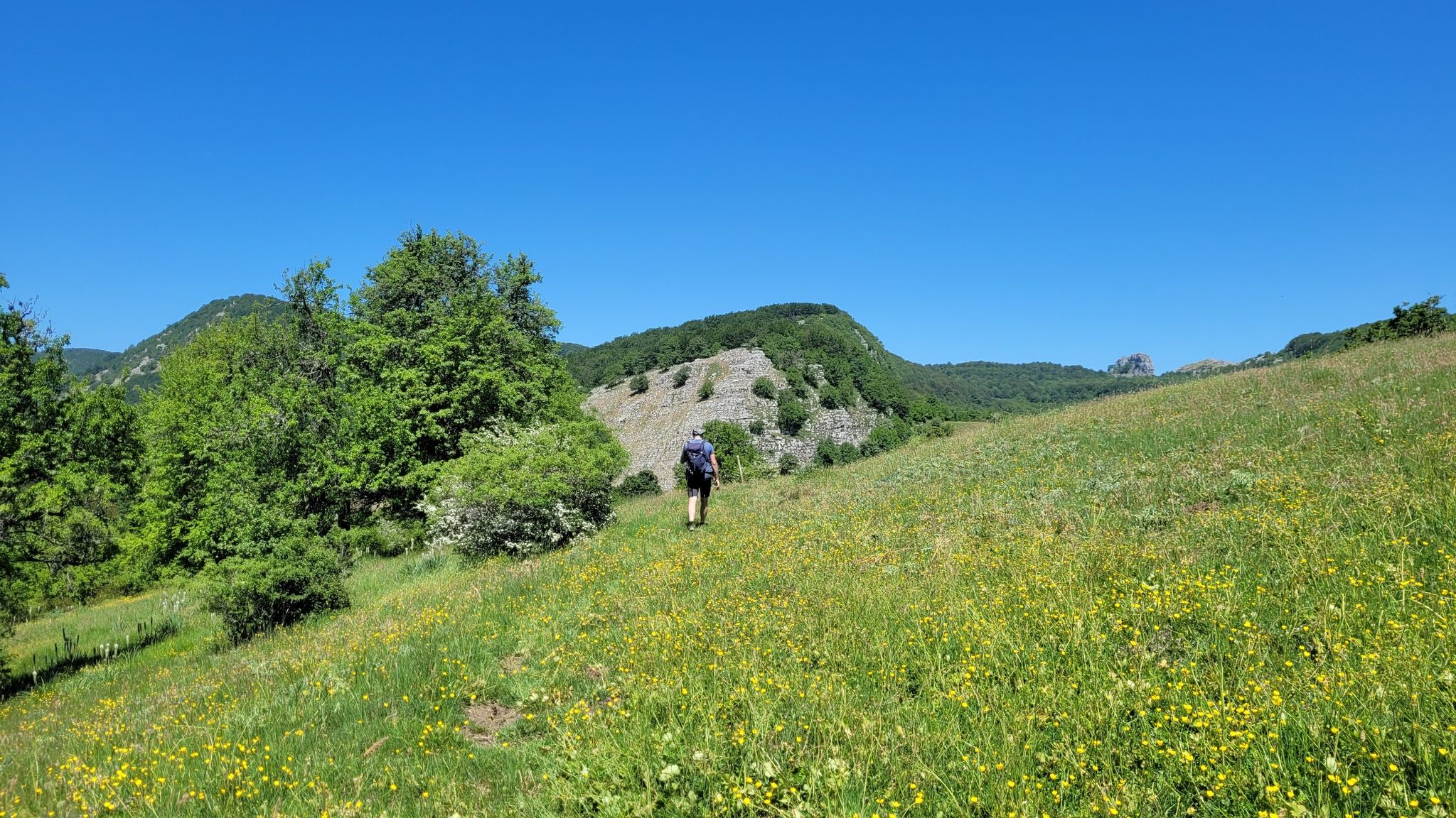
Sentiero Italia – A journey into the heart of Campania
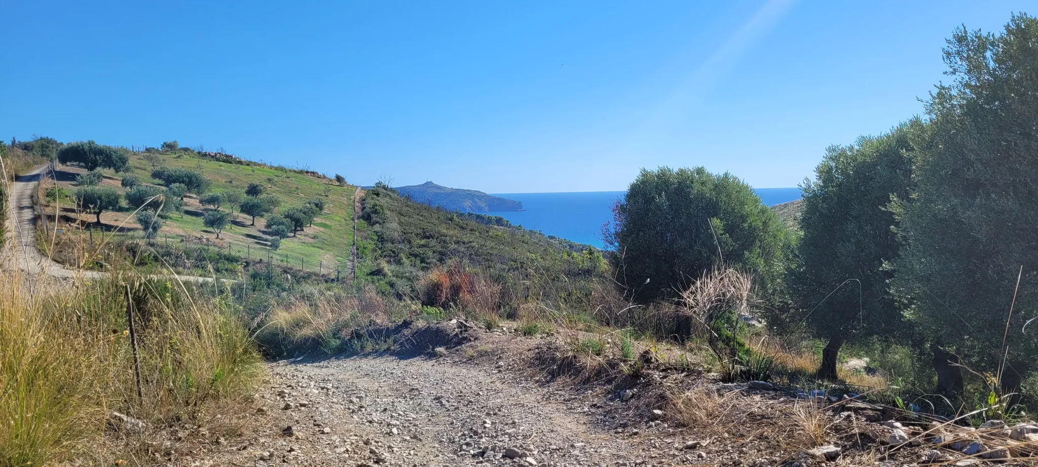
Way of St. Nilus - a slow journey into the heart of the Cilento region
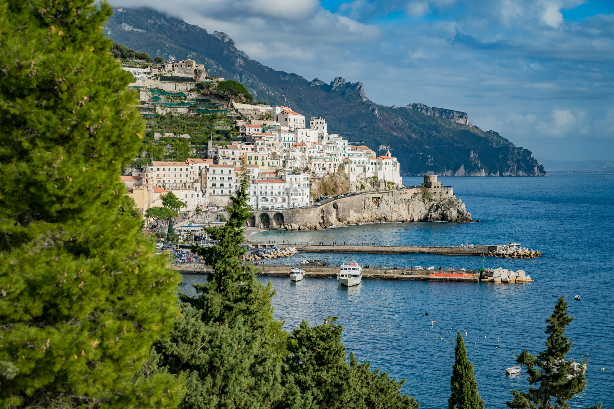
Hiking on the Amalfi Coast – routes for all year round
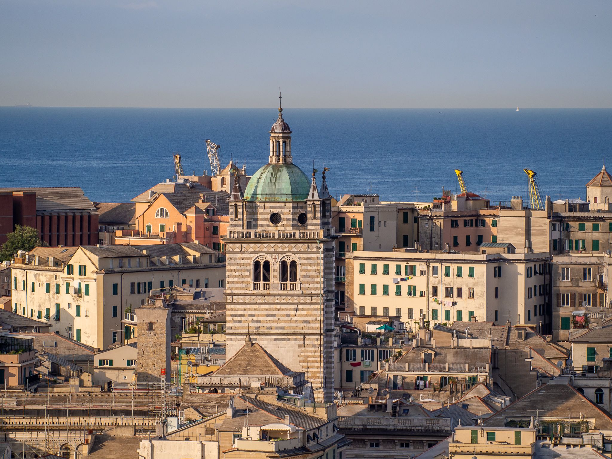
Urban Trekking in Genoa – the Anelli del Benessere
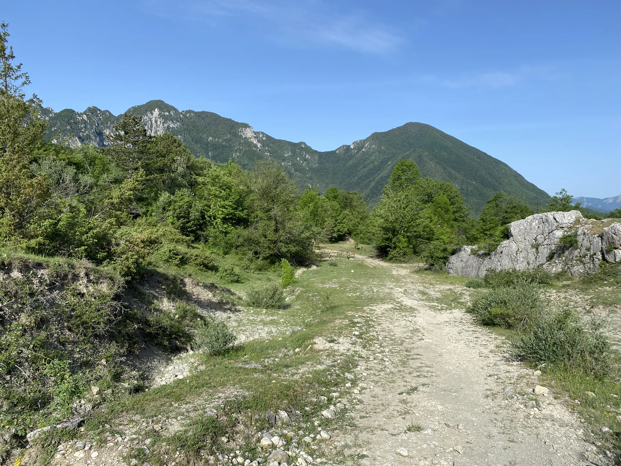
Hike along shepherds tracks in Italy – Via del Tratturo
Other adventures in the Apennine Mountains


Tips from the Community

Fantastic views on this hike
0
0
Fantastic views on this hike
0
0
A dream-beautiful hiking trail. I can only recommend it
0
0


Very busy coastal road, pay attention
0
0

Unsafe bathing due to lack of a dedicated lifeguard service
0
0

Manarola train station is accessible from the village only through a tunnel. The station has excellent connections to La Spezia and Genoa.
8
0
Riomaggiore train station is a great starting and finishing point for hikes in the Cinque Terre.
9
0
Frequently Asked Questions
How many bus station hiking trails are available in the Apennine Mountains?
There are over 4,500 hiking trails in the Apennine Mountains that are accessible from bus stations. This includes a wide range of options, with approximately 1,500 easy routes, over 2,300 moderate routes, and nearly 700 difficult trails to explore.
What kind of terrain can I expect on bus-accessible hikes in the Apennine Mountains?
The Apennine Mountains offer incredibly diverse terrain. You can expect everything from rugged peaks and alpine meadows to lush forests and rolling hillsides. Trails often traverse dirt paths, gravel roads, and ancient stone routes. In coastal areas like Cinque Terre, you'll find trails with breathtaking sea views, while inland routes might lead you through extensive beech and silver fir forests or past dramatic geological formations.
Are there any family-friendly hiking options accessible by bus in the Apennine Mountains?
Yes, the Apennine Mountains offer many family-friendly hikes. While specific routes depend on the bus stop, many easy and moderate trails are suitable for families. Look for routes that are shorter in distance and have less elevation gain. The region's varied landscapes, from gentle rolling hills to picturesque lakes, provide engaging environments for all ages. Always check the route details for difficulty and duration before heading out with children.
Can I bring my dog on bus-accessible hiking trails in the Apennine Mountains?
Many trails in the Apennine Mountains are dog-friendly, but it's always best to check local regulations for specific routes or protected areas. When hiking with your dog, ensure they are on a leash, especially in areas with wildlife or livestock, and always carry water for both of you. Public transport rules for dogs can vary, so confirm with the bus operator before your journey.
What are some notable natural features or landmarks I can see on these bus station hikes?
The Apennine Mountains are rich in natural beauty and historical sites. Depending on your chosen route, you might encounter picturesque high mountain lakes such as Lake Scaffaiolo or Lake of the Nymph. The region also features dramatic geological formations, extensive forests, and ancient castles like Rocca Calascio Castle. Some trails offer panoramic views from peaks like Mount Belvedere.
Are there any circular hiking routes that start and end at a bus station?
Yes, many bus-accessible routes in the Apennine Mountains are designed as circular walks, allowing you to return to your starting point without needing additional transport. These are ideal for day trips. While specific examples vary by bus station, komoot's route planner can help you identify circular routes from your chosen bus stop. For instance, the Liguria Trail - Stage 10 offers a moderate experience with a clear start and end point.
What is the best time of year to hike from bus stations in the Apennine Mountains?
The best time to hike in the Apennine Mountains generally depends on the elevation and your preferred conditions. Spring (April-June) offers vibrant wildflowers in alpine meadows and pleasant temperatures. Summer (July-August) is ideal for higher-altitude treks, though some areas can be warm. Autumn (September-October) brings stunning fall foliage and cooler, crisp air. Winter hiking is possible but requires appropriate gear and experience, especially at higher elevations, due to snow and ice.
What do other hikers enjoy most about hiking in the Apennine Mountains?
The Apennine Mountains are highly rated by the komoot community, with an average score of 4.5 stars from over 47,000 ratings. Reviewers often praise the region's diverse and unspoiled landscapes, the sense of tranquility, and the opportunity to discover authentic Italian culture away from the crowds. The extensive network of trails, from coastal paths to mountain ascents, also receives high acclaim.
Are there any challenging bus-accessible hikes for experienced hikers?
Absolutely. The Apennine Mountains offer numerous challenging routes for experienced hikers, with nearly 700 difficult trails accessible by bus. These often involve significant elevation gain, rugged terrain, and longer distances. Examples include the Liguria Trail - Stage 4 and the Sentiero Verde Azzurro through Cinque Terre villages, both offering demanding but rewarding experiences. Always check the route's difficulty and elevation profile to ensure it matches your skill level.
Can I find mountain huts or places to stay overnight along bus-accessible routes?
Yes, the Apennine Mountains have a tradition of mountain huts and refuges, many of which are accessible from bus routes or serve as destinations for day hikes. These huts, like the Duca degli Abruzzi Hut or Rifugio Duca degli Abruzzi at Lake Scaffaiolo, provide opportunities for rest, local cuisine, and sometimes overnight stays. It's advisable to book in advance, especially during peak season.
Are there any coastal hiking trails in the Apennine Mountains accessible by bus?
Yes, particularly in regions where the Apennines meet the coast, such as Cinque Terre. Here, you can find trails that offer breathtaking views of the Ligurian Sea. The Corniglia to Manarola via Volastra Trail is a moderate option that provides stunning coastal vistas and connects charming villages. Many of these coastal trails are well-served by local bus networks, making them easily accessible.
Most popular routes in the Apennine Mountains
Most popular attractions in the Apennine Mountains

Get inspired with the komoot mobile app


Explore more
Browse the best Hikes in other regions.
