The best running trails in the Apennine Mountains
4.3
(3693)
170,503
runners
16,346
runs
Jogging routes in the Apennine Mountains traverse a diverse landscape, forming the geological backbone of peninsular Italy. The region is characterized by a mix of sand, silts, limestone, and granite, offering varied terrain from gentle paths to challenging trails with significant elevation gains. Joggers can explore extensive trail networks through lush forests of oak, beech, and pine, as well as high pastures and panoramic ridges. Deep valleys carved by rivers and natural monuments like Lake Scaffaiolo add to the scenic appeal for running.
Best jogging routes in the Apennine Mountains
- The most popular jogging route is The Wall of Lucca - Ring tour, a 3.0 miles (4.8 km) trail that takes 30 minutes to complete. This easy route offers a unique experience running atop historic city walls.
- Another top favourite among local runners is Blue Trail: Monterosso - Corniglia, a difficult 5.2 miles (8.4 km) path. This route features coastal paths with stunning sea views, connecting picturesque villages.
- Local runners also love the Maremonti Path and Witches' Coast Loop, a 4.2 miles (6.8 km) trail leading through diverse landscapes including coastal and forested sections, often completed in about 51 minutes.
- Jogging in the Apennine Mountains is defined by extensive trail networks, lush forests, and panoramic ridges. The region offers routes suitable for various ability levels, from easy runs to challenging sky running experiences.
- The routes in Apennine Mountains are highly rated by the komoot community with an average score of 4.3 stars from over 3100 reviews. More than 159000 runners have used komoot to explore Apennine Mountains's varied terrain.
Last updated: July 7, 2026
4.9
(76)
2,185
runners
4.85km
00:30
10m
10m
Easy run. Great for any fitness level. Mostly paved surfaces. Suitable for all skill levels.
250
runners
22.9km
02:21
20m
20m
Hard run. Very good fitness required. Mostly paved surfaces. Suitable for all skill levels.

Sign up for free
5.0
(3)
195
runners
8.42km
01:21
380m
370m
Hard run. Very good fitness required. Sure-footedness, sturdy shoes and alpine experience required.
4.9
(10)
116
runners
6.79km
00:58
240m
240m
Hard run. Good fitness required. Sure-footedness, sturdy shoes and alpine experience required.
5.0
(1)
123
runners
29.6km
05:56
1,860m
1,860m
Hard run. Very good fitness required. Sure-footedness, sturdy shoes and alpine experience required.
3.7
(9)
78
runners
6.84km
00:51
190m
190m
Moderate run. Good fitness required. Mostly paved surfaces. Suitable for all skill levels.
95
runners
19.1km
02:34
690m
700m
Hard run. Very good fitness required. Mostly accessible paths. Some sure footedness required.
91
runners
11.3km
01:34
410m
410m
Hard run. Very good fitness required. Mostly accessible paths. Some sure footedness required.
71
runners
20.5km
03:00
970m
970m
Hard run. Very good fitness required. Mostly accessible paths. Some sure footedness required.
5.0
(3)
69
runners
20.4km
04:11
1,660m
1,660m
Hard run. Very good fitness required. Sure-footedness, sturdy shoes and alpine experience required.
Get access to more routes and recommendations from other explorers.
Sign up for free
Already have an account?
Our route recommendations are based on thousands of hikes, rides, and runs completed by other people on komoot.
Start today with a free account
Your next adventure awaits.
Login or Signup
Popular around Apennine Mountains
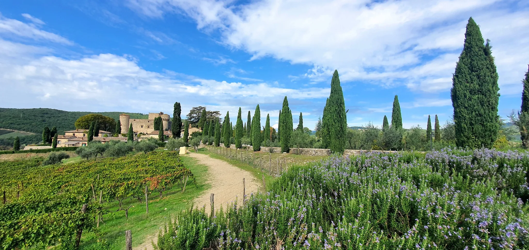
Running among castles, vineyards and hills - Ultra Trail Chianti Castles
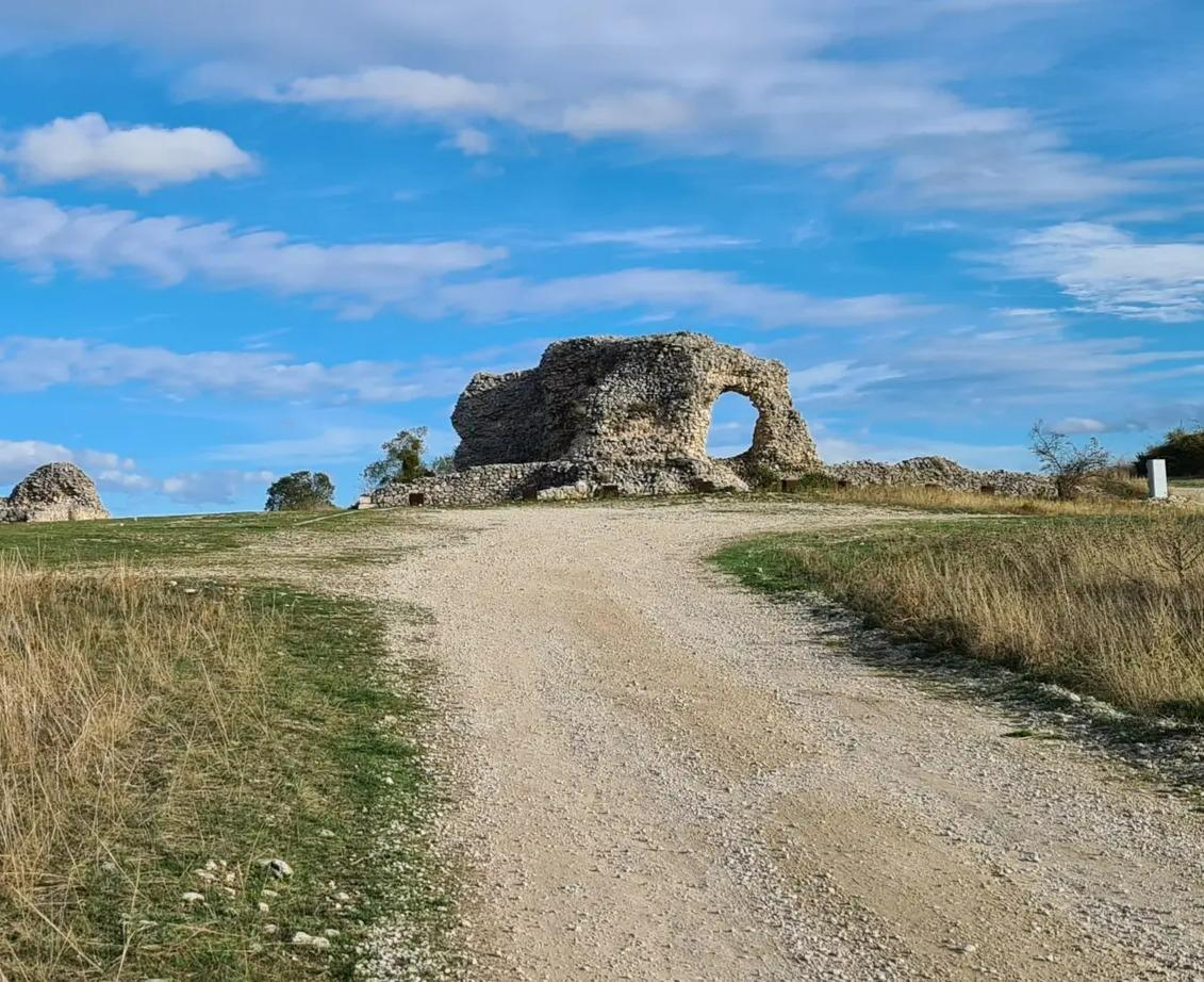
Tratturo Magno – On the roads of transhumance
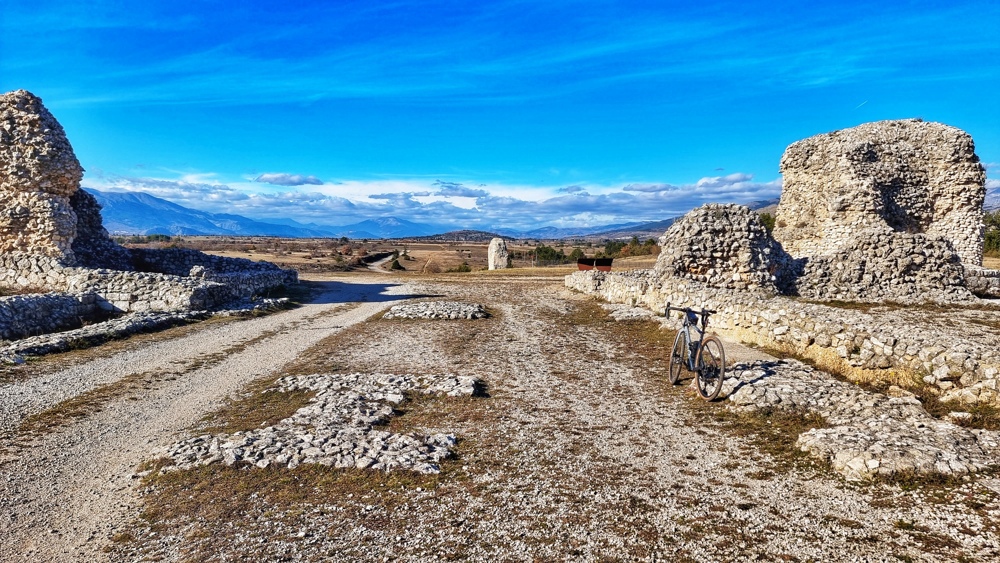
The Tratturo Magno – From the Apennines to the TavoIiere, 300 kilometers
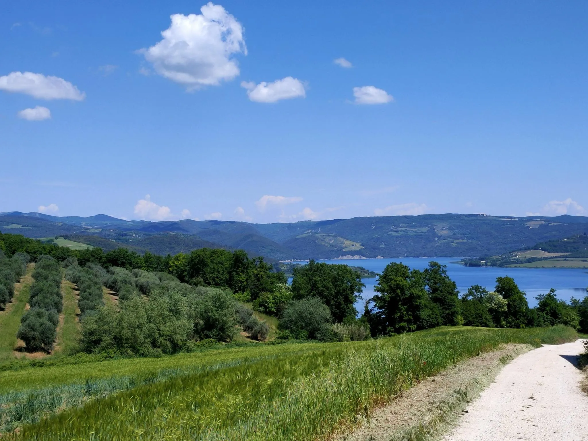
Italian Coast2Coast – From Portonovo to Orbetello
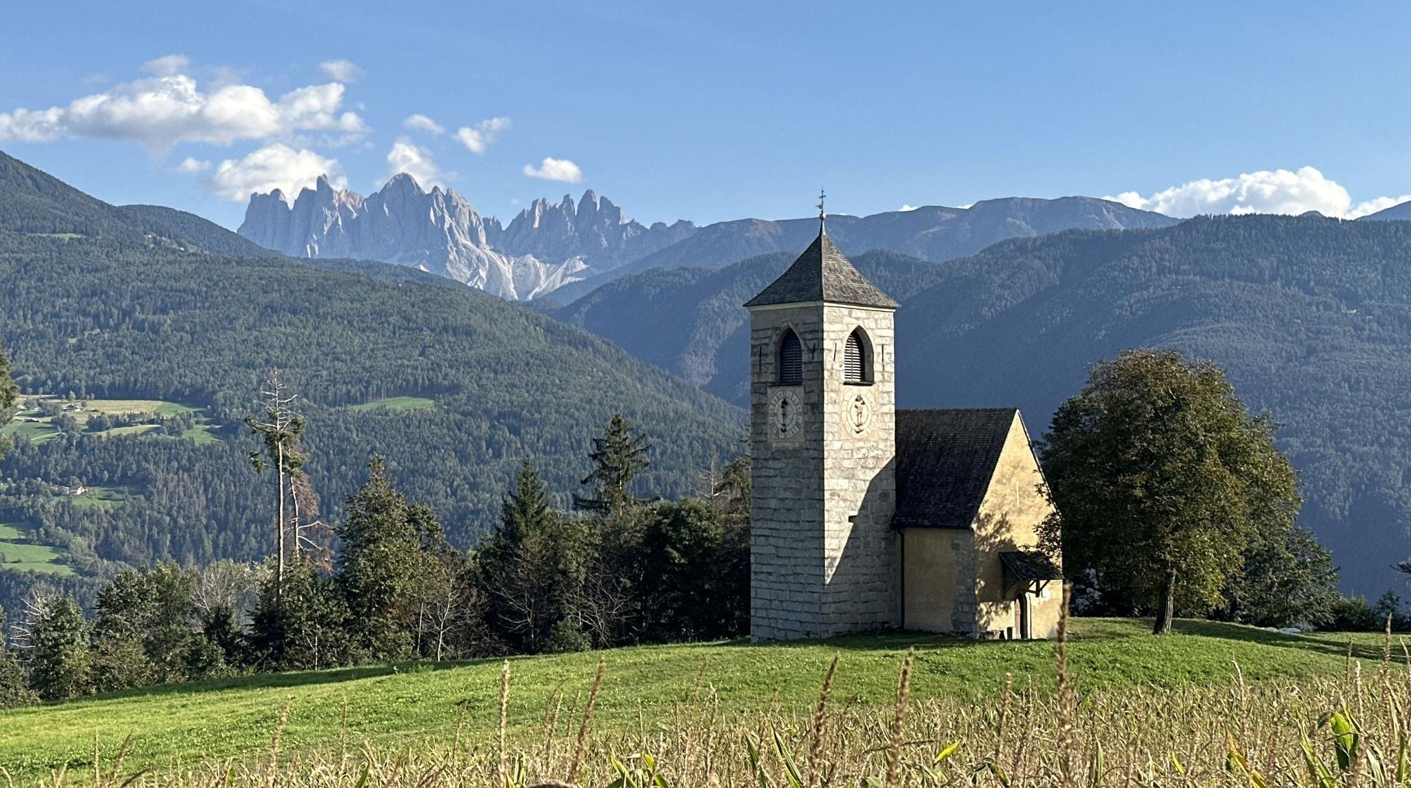
Via Romea Germanica – History, nature and spirituality
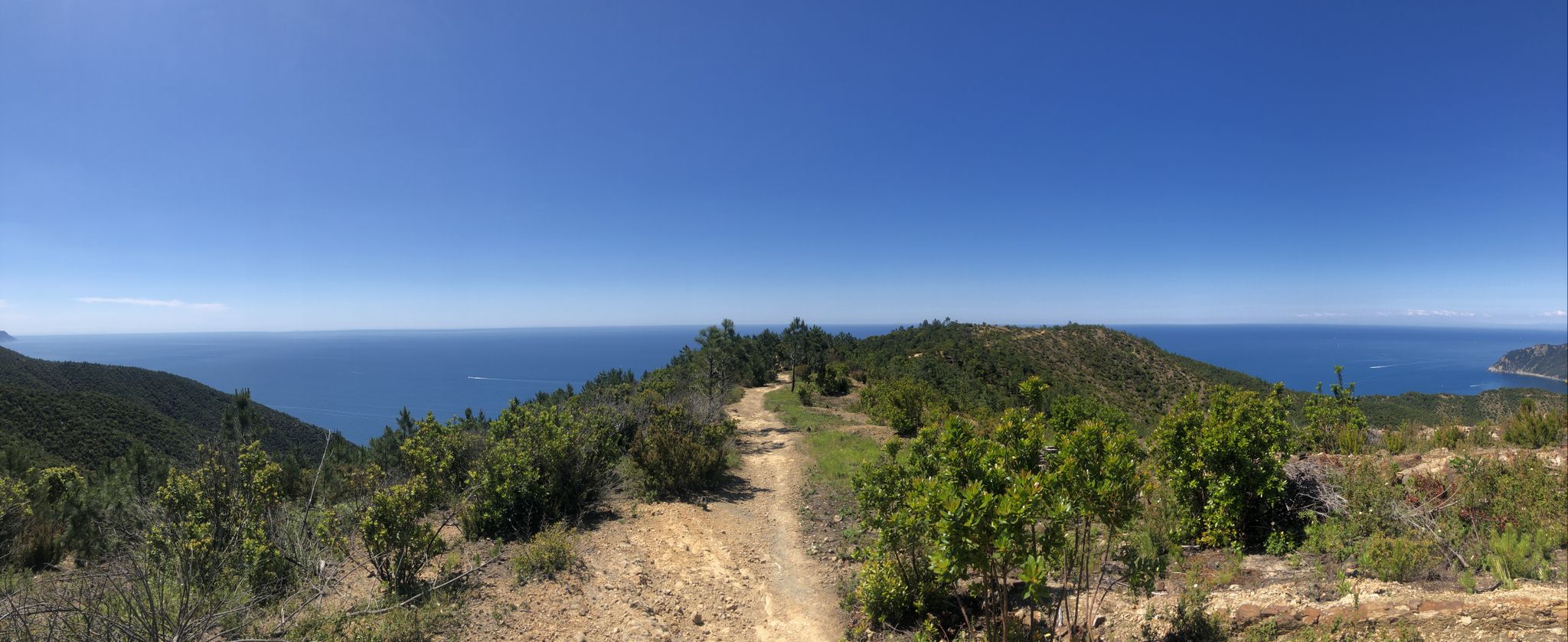
Via della Costa – A breathtaking hike along the Italian Riviera
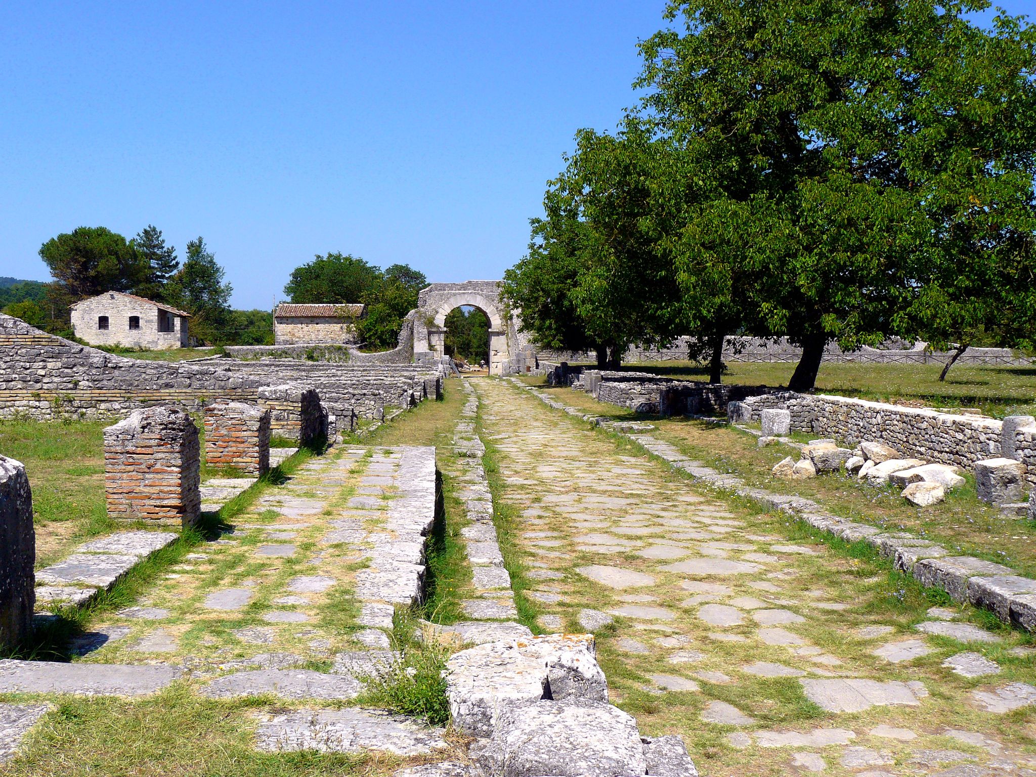
Sentiero Italia – On the tracks of the Samnites and Romans in Molise
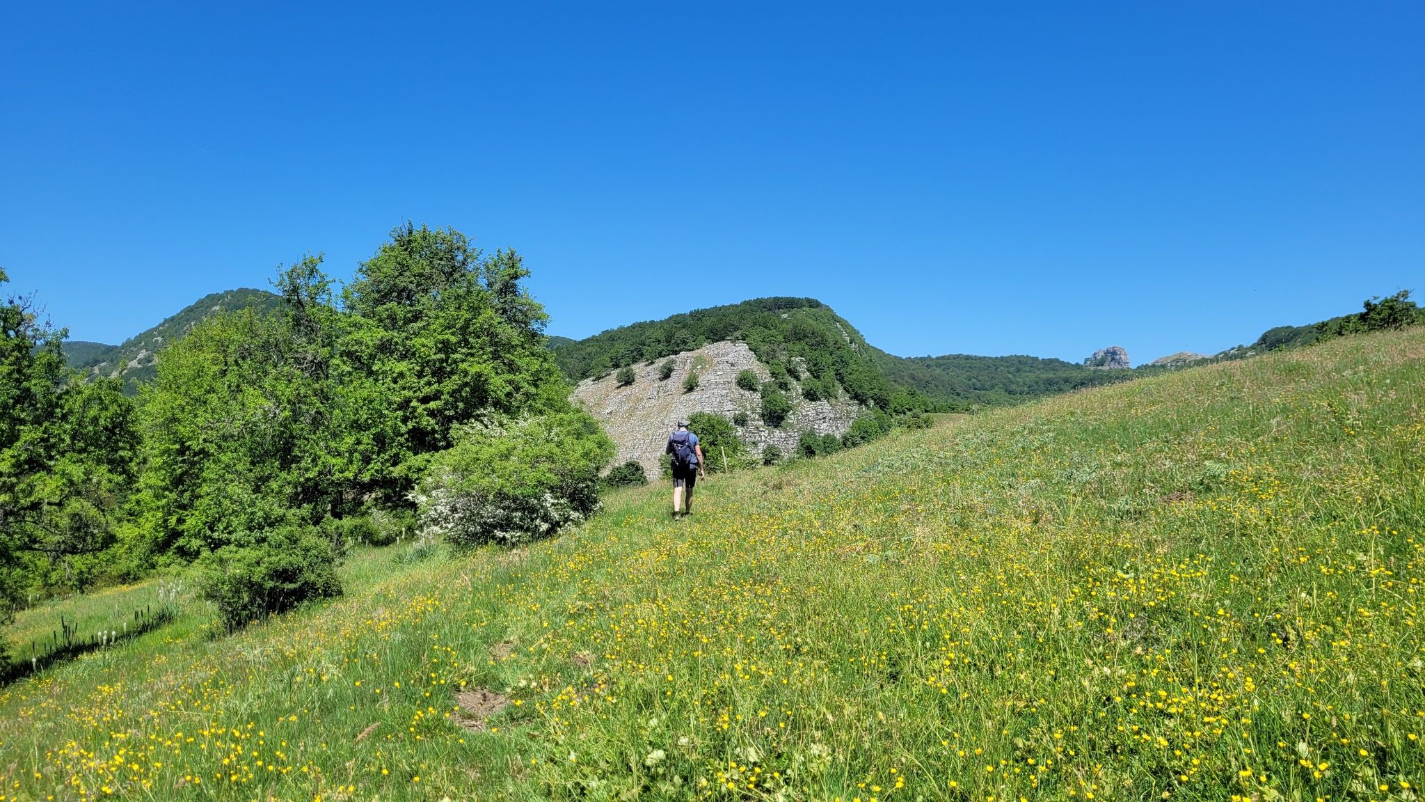
Sentiero Italia – A journey into the heart of Campania
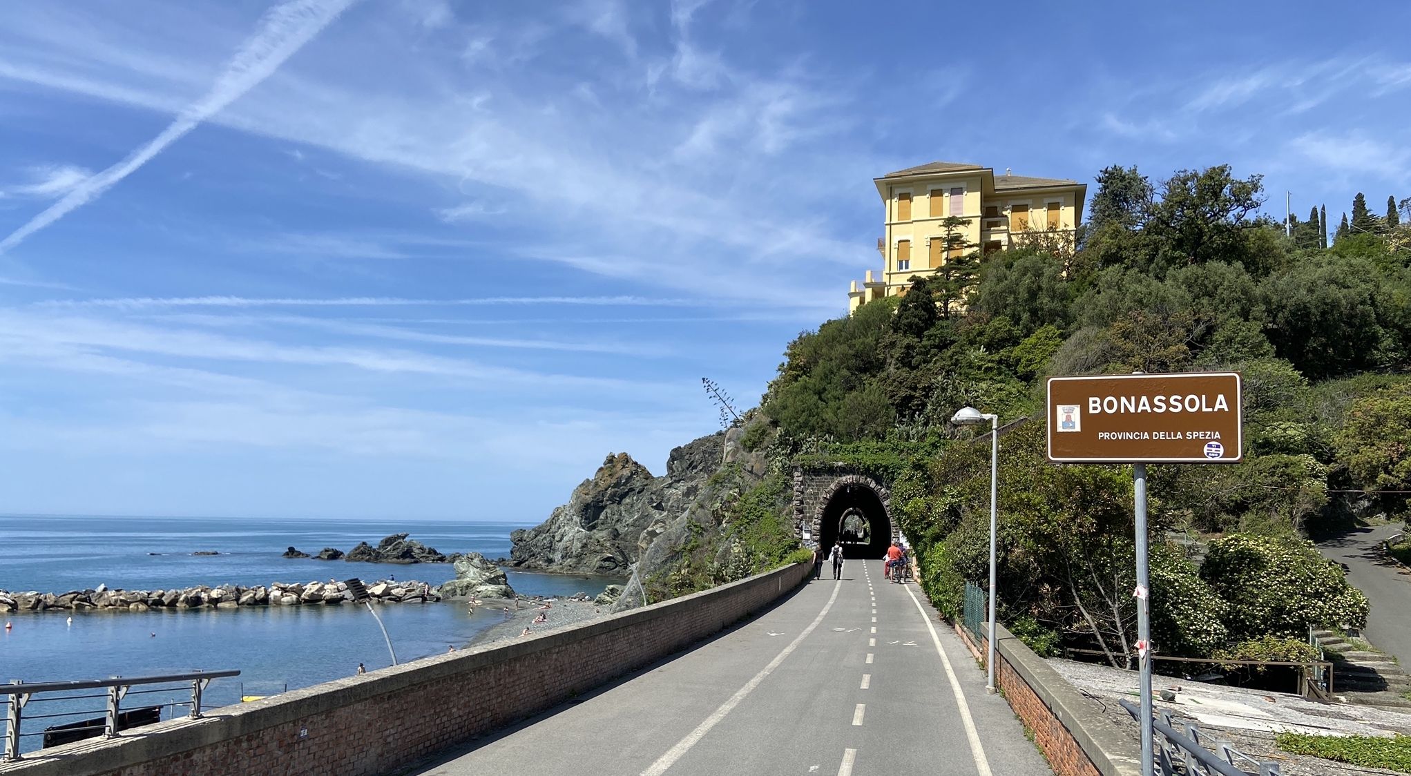
Pedalling to Portofino and the Cinque Terre — sea and mountains
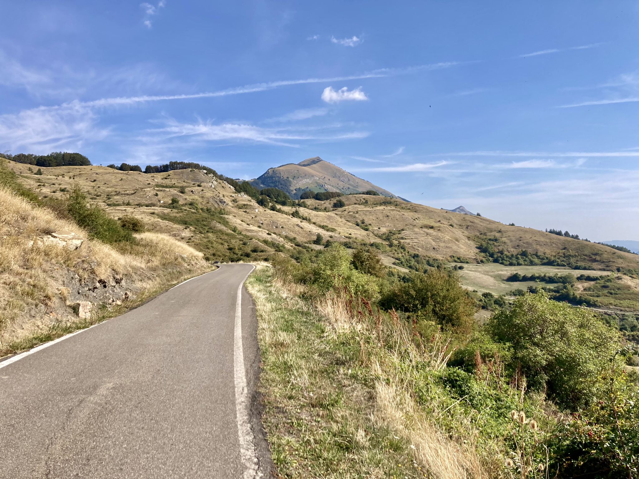
Apperò l'Appennino – five days of Italy's Emilian climbs
Other adventures in the Apennine Mountains


Tips from the Community

OPENING HOURS, always useful to know before you go up! Rifugio Duca degli Abruzzi is open daily for the summer season. The opening hours and seasons are arranged as follows: summer season (continuously open) Period: From June 15 to the end of September, the mountain hut is open non-stop every day. Daytime (kitchen/bar): You can usually go there from approx. 08:30 to 17:00 for drinks, snacks, and lunch. Overnight stay: If you have booked an overnight stay in advance, you can join for dinner in the evening. Autumn, Winter & Spring (limited opening) Period: from October to May. Days: The hut is then in principle only open on weekends (Friday evening to Sunday afternoon), provided the weather and snow conditions allow it safely. Closure: the hut often closes completely in the month of November due to the start of the heavy winter snowfall. Important to know: because the mountain hut is located at an altitude of almost 2400 meters, the opening hours are always dependent on the weather. In case of heavy storms, dense fog, or sudden snowfall, the hut may remain unexpectedly closed. Do you want to be sure whether the manager is present or do you want to book a place to sleep? Check the current status via the official CAI Booking Platform or contact the managers directly via +39 388 186 7703.
3
0
Rifugio Duca degli Abruzzi is located at an altitude of 2,388 meters on Monte Portella and is one of the most beautiful viewpoints in the Gran Sasso massif. The mountain hut, built in 1908 by the Italian Alpine Club (CAI), is named after the famous explorer and mountaineer Luigi Amedeo of Savoy. From the terrace, you can enjoy a spectacular 360° panorama over the Campo Imperatore plateau, the imposing Corno Grande – the highest peak in the Apennines at 2,912 meters – and the rugged Val Maone. The relatively short hike to the hut immediately offers a real high-mountain feeling and is an ideal stopover for lunch or an espresso, but also serves as a starting point for more challenging climbs. Historical fact: just below the mountain hut lies the Hotel Campo Imperatore, where Benito Mussolini was held captive in 1943. From this area, he looked out over the endless peaks of the Apennines until he was freed by a glider during the spectacular German rescue operation, Operation Oak. This combination of impressive nature, mountaineering history, and a remarkable chapter from World War II makes a visit to Rifugio Duca degli Abruzzi extra memorable.
3
0

Undoubtedly one of the most scenic peaks in the area. 360-degree view and easily accessible both on foot and by MTB
0
0
I don't know if it's the biggest in Parma, in Italy or what. I know for sure that it's the biggest I've ever seen. Majestic and fascinating, it's a must-see every time we come to this area…
0
0

Fantastic views along the route.
0
0
Fantastic views along the route.
0
0
Fantastic views along the route.
0
0

A breathtaking view but it's nothing for people with the fear of hights
0
0
Frequently Asked Questions
What kind of terrain can I expect on running routes in the Apennine Mountains?
The Apennine Mountains offer a diverse range of terrain, from easy, mostly paved surfaces to challenging trails with significant elevation gains. You'll find a mix of sand, silts, limestone, and granite, leading to varied topography including lush forests of oak, beech, and pine, high pastures, and panoramic ridges. Deep valleys and natural monuments like Lake Scaffaiolo also contribute to the scenic variety.
Are there easy running routes suitable for beginners or families in the Apennines?
Yes, the Apennines cater to various fitness levels. For an easy and unique experience, consider The Wall of Lucca - Ring tour, which is 3.0 miles (4.8 km) and takes about 30 minutes to complete, offering a run atop historic city walls. There are over 700 easy routes available in the region.
What are some scenic loop trails for jogging in the Apennine Mountains?
The region features many scenic loop trails. For a coastal and forested experience, the Maremonti Path and Witches' Coast Loop is a moderate 4.2 miles (6.8 km) route. Another option is the Punta Manara Loop Trail, a difficult 4.2 miles (6.8 km) route offering stunning coastal views.
Can I find running routes that offer views of lakes or waterfalls?
Absolutely. The Apennines are home to natural monuments like Lake Scaffaiolo, a picturesque high mountain lake, and the Marmore Waterfalls, which provide stunning backdrops for runs. While specific routes directly to these might vary, many trails offer panoramic views of the diverse landscape, including water features.
Are there any challenging trail running options for experienced runners?
Yes, the Apennines are well-known for challenging routes, including 'sky running' experiences. For instance, the Tre Rifugi SkyRace – Ultra Trail Gran Sasso is a difficult 18.4 miles (29.6 km) route with significant elevation gain. Another demanding option is the Gran Sasso SkyRace, a difficult 12.6 miles (20.4 km) trail.
What kind of historical sites or landmarks can I see while running in the Apennines?
The western slopes of the Apennines are rich in history. You can find medieval castles, Romanesque churches, and ancient pathways. Notable historical sites include Rocca Calascio Castle and Montefioralle Castle. Some routes, like The Wall of Lucca - Ring tour, even take you directly through historic areas.
What do other runners enjoy most about jogging in the Apennine Mountains?
The Apennine Mountains are highly rated by the komoot community, with an average score of 4.3 stars from over 3100 reviews. Runners often praise the extensive and varied trail networks, the breathtaking natural scenery, and the opportunity to combine physical activity with cultural exploration in charming villages.
Are there any coastal running routes in the Apennine Mountains region?
Yes, the Apennine region offers stunning coastal running experiences. The Blue Trail: Monterosso - Corniglia is a difficult 5.2 miles (8.4 km) path featuring coastal views and connecting picturesque villages. Another option is the Cycling path of Versilia, a longer 14.2 miles (22.9 km) route along the coast.
What is the best time of year for trail running in the Apennines?
The Apennine Mountains experience a Mediterranean climate, offering pleasant conditions for outdoor activities for much of the year. Spring and autumn generally provide ideal temperatures for running, with lush landscapes in spring and vibrant colors in autumn. Summer can be warm, especially at lower elevations, while higher altitudes offer cooler conditions. Winter running is possible, but some higher trails may be inaccessible due to snow.
Are there national or regional parks where I can run in the Apennines?
Yes, the Apennines contain numerous national and regional parks that protect their intact ecosystems, making them ideal for running. Examples include Gran Sasso National Park, Parco Regionale dei Cento Laghi, and Aveto Natural Regional Park. These parks offer extensive trail networks and opportunities to observe diverse flora and fauna.
How many running routes are available in the Apennine Mountains?
There are over 14,200 running routes available in the Apennine Mountains, catering to all levels of experience. This includes over 700 easy routes, more than 7,600 moderate routes, and over 5,800 difficult routes, ensuring a wide variety of options for every runner.
Most popular routes in the Apennine Mountains
Most popular attractions in the Apennine Mountains

Get inspired with the komoot mobile app


Explore more
Browse the best Running Trails & Routes in other regions.
