The best traffic-free bike rides in the Cascade Range
4.8
(48)
1,196
riders
131
rides
Gravel biking in the Cascade Range offers diverse terrain across a majestic mountain chain defined by volcanic peaks, extensive forests, and numerous waterways. The region features a network of remote gravel roads and former railway corridors, providing varied surfaces from smooth dirt paths to challenging mountain routes. These trails traverse diverse ecosystems, including dense evergreen forests, alpine meadows, and areas with views of iconic volcanoes. The landscape provides extensive opportunities for no traffic gravel bike trails, catering to a wide…
Last updated: June 28, 2026
1
riders
39.2km
04:36
990m
990m
This difficult 24.4-mile gravel biking route in Mount Rainier National Park offers car-free sections, stunning views, and significant elevat
1
riders
21.1km
02:59
940m
940m
This difficult 13.1-mile gravel biking loop in Mount Baker-Snoqualmie National Forest offers challenging climbs and stunning views of Mount

Sign up for free
4.3
(3)
33
riders
57.5km
03:19
570m
570m
Hard gravel ride. Very good fitness required. Mostly paved surfaces. Suitable for all skill levels.
4.6
(5)
36
riders
30.6km
01:40
250m
250m
Moderate gravel ride. Good fitness required. Mostly paved surfaces. Suitable for all skill levels.
4.6
(5)
36
riders
30.9km
01:39
220m
220m
Moderate gravel ride. Good fitness required. Mostly paved surfaces. Suitable for all skill levels.
Get access to more routes and recommendations from other explorers.
Sign up for free
Already have an account?
Our route recommendations are based on thousands of hikes, rides, and runs completed by other people on komoot.
Start today with a free account
Your next adventure awaits.
Login or Signup
Popular around Cascade Range
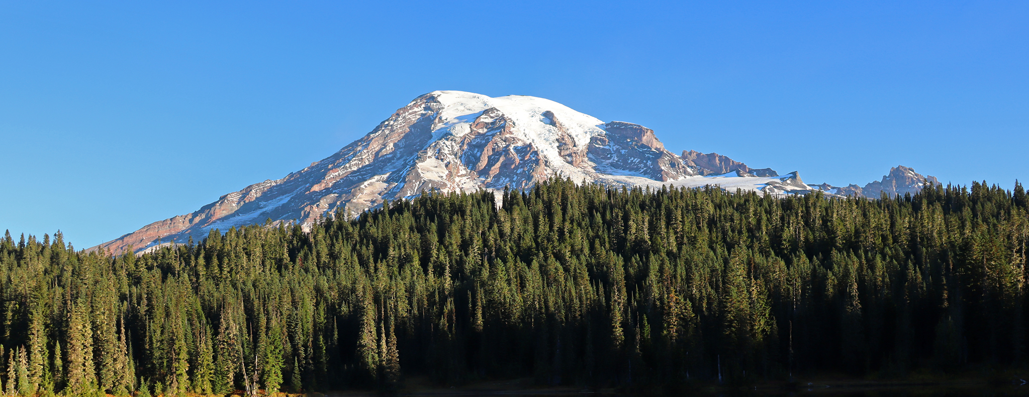
Wonderland Trail — 93 iconic miles around Mount Rainier

Pacific Northwest National Scenic Trail — From Alpine to Alava through the untamed Northwest
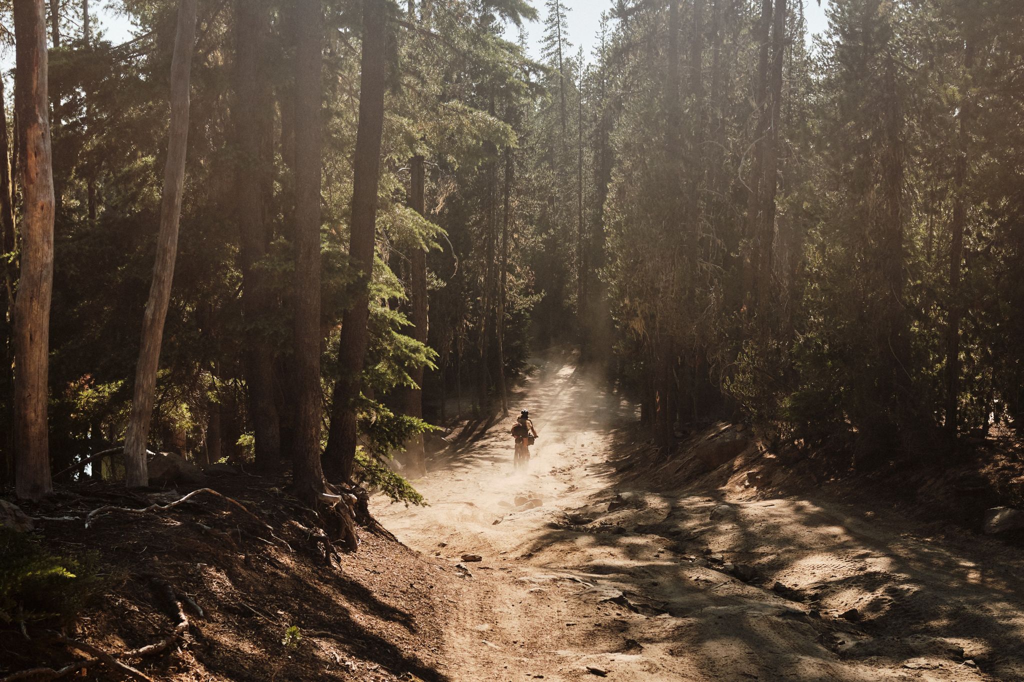
Oregon Timber Trail — High heat

Pacific Crest Trail from Mexico to Canada – 4,200 kilometres of wilderness

Vancouver roundtrip — Bikepacking British Columbia
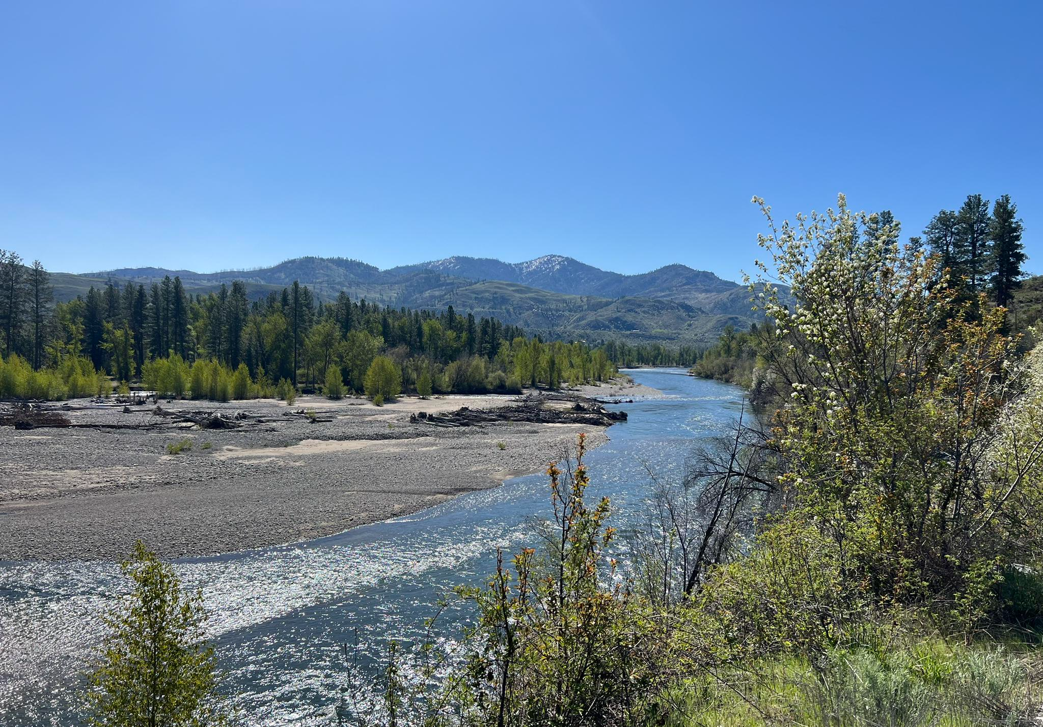
Winthrop Chelan Traverse — The backroads of the Eastern Cascades
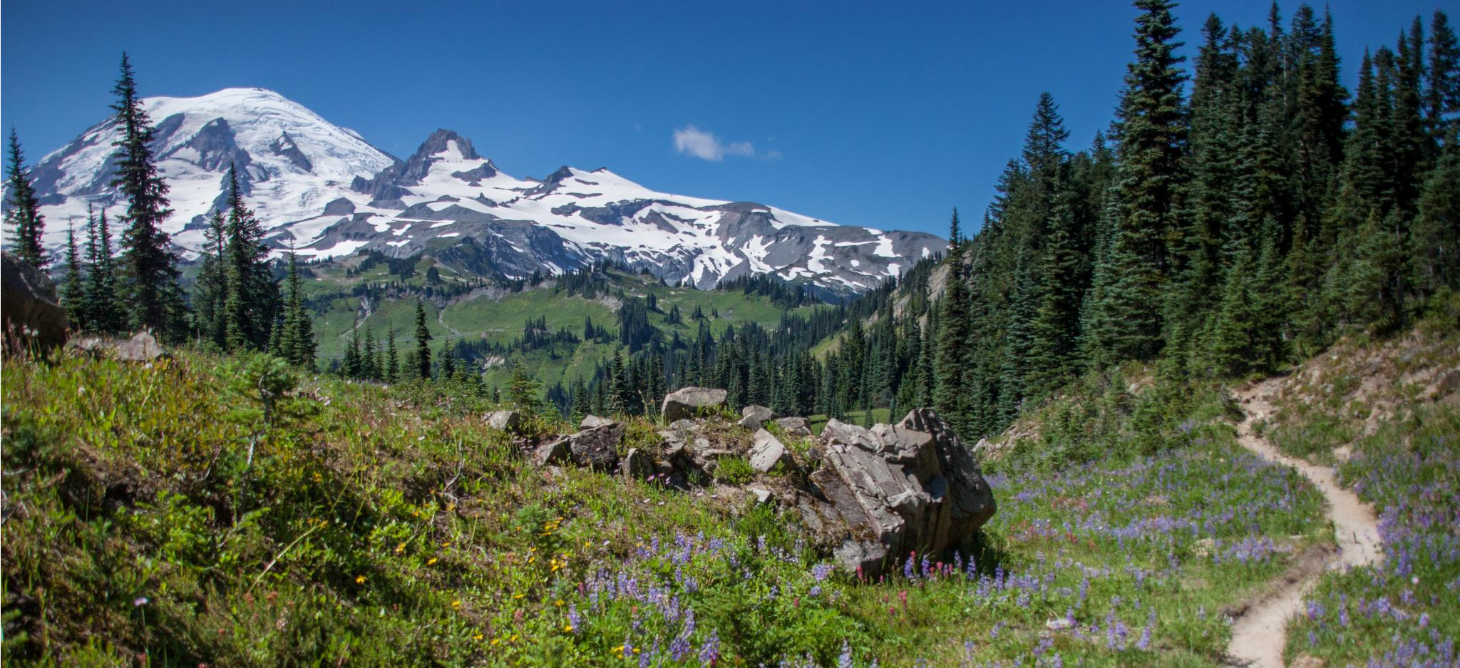
Wonderland Trail — 3-Day fastpacking through the dreamscape
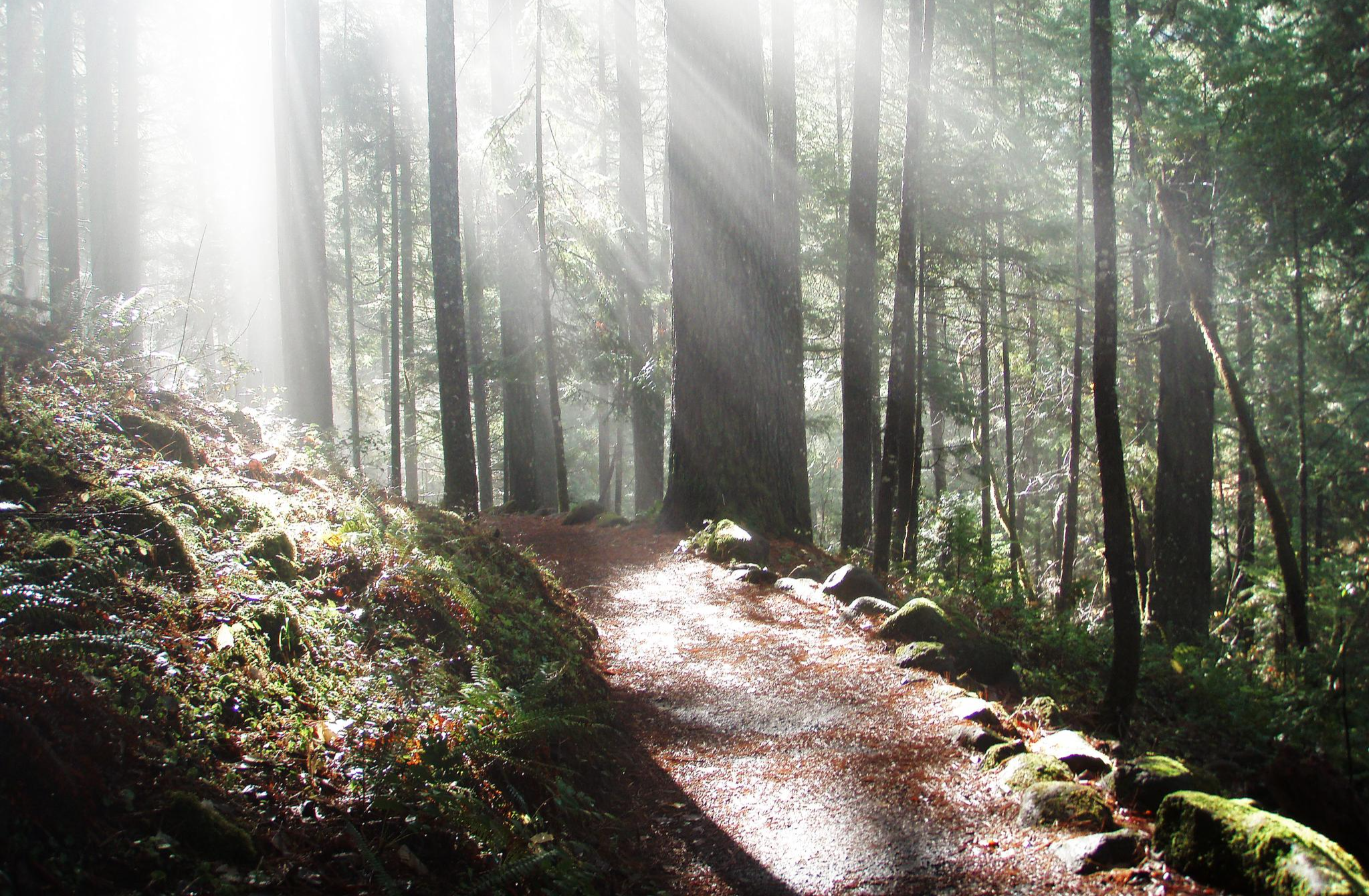
The North Umpqua Trail — Riding through Oregon's Lush Backcountry
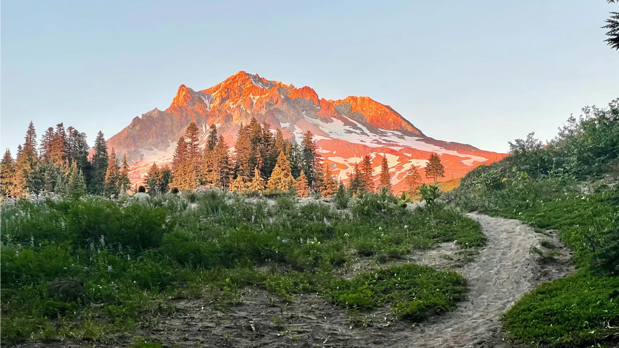
Timberline Trail — A Scenic Mount Hood Adventure
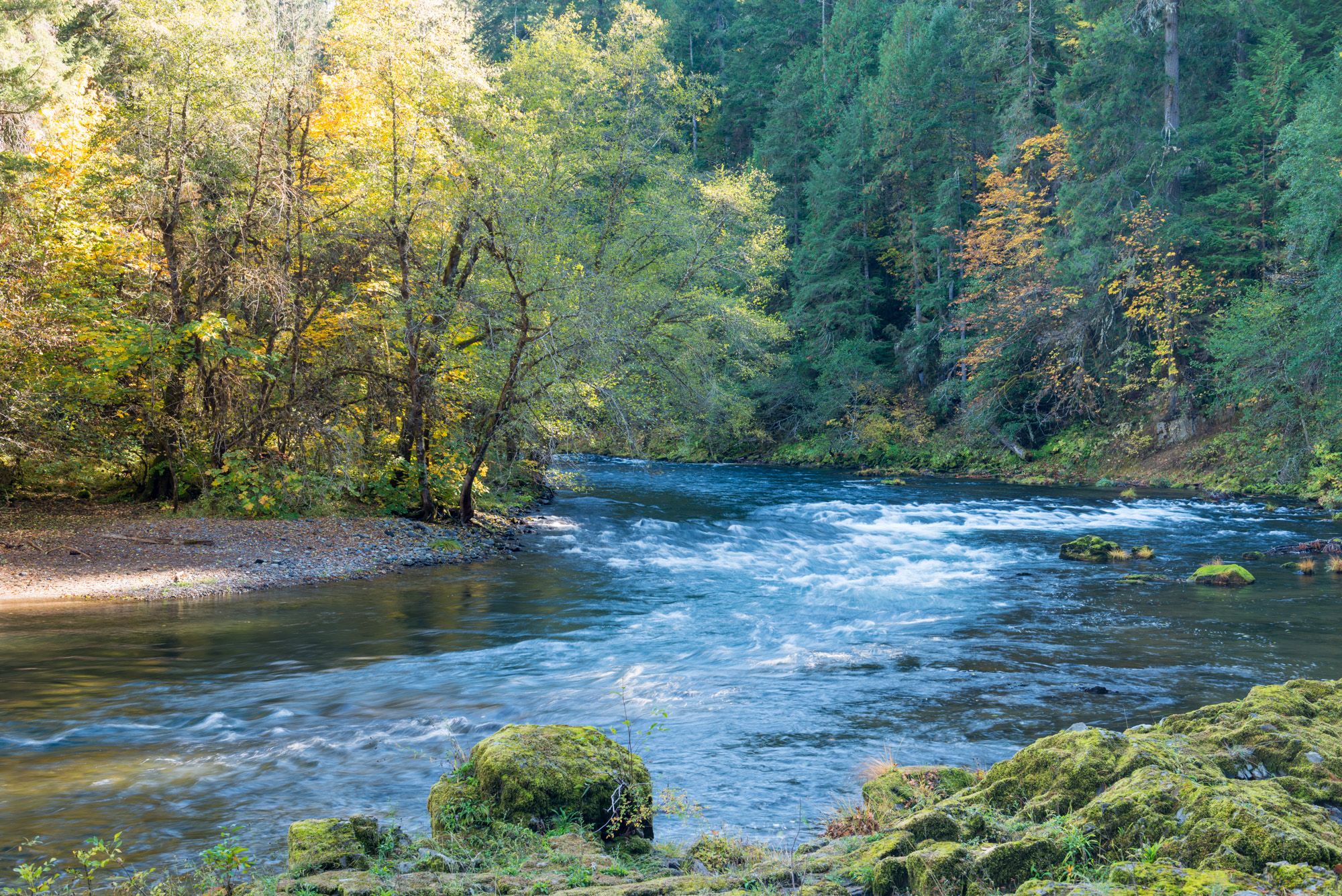
North Umpqua Trail — Waterfalls, Lakes & Lava
Other adventures in the Cascade Range


Tips from the Community

While mountain bikers can ride to Sun Top via the Sun Top Trail, if you prefer another way to challenge yourself, you can take Forest Road 7315—a gravel road with gentler curves that climbs to the top, offering a rewarding adventure with great views. The road is typically open to vehicle and bike traffic from late spring through early fall—usually from around May to September—but the gate at the summit may be closed outside these months or when parking is full. It's best to check current road conditions with the U.S. Forest Service before heading out.
0
0
Klapatchie Point is the end of Westside Road. The road is narrow, paved, but lightly maintained, winding through forest in Mount Rainier National Park. It has some rough patches and limited pullouts, and is open only to bikers and hikers. Klapatchie Point is a perfect place to end your ride, with views over the forest and mountains.
0
0
Here you’ll find an open area along Westside Road, perfect for a snack break. Plenty of shade is provided by the surrounding forest.
0
0

The Hall Creek Trestle is a historic steel and timber railway bridge built in 1912. It was once the old Milwaukee Road until, in 1988, a storm washed away a central 171-foot section of the bridge. In the 1990s, Washington State Parks restored the trestle, reconnecting the east and west segments of the former rail line, which is now part of the Palouse to Cascades (Iron Horse) Trail. The views down into Hall Creek Valley are genuinely stunning and worth the ride!
1
0

The Tokul Creek Trestle was built in the early 20th century to transport lumber and goods through the area. The bridge was part of the Northern Pacific Railroad and played an important role in the economic development of the area. https://blockblastonline.com
0
0

Great views from here. And... the middle of the trestle is different than either end because it had collapsed and was rebuilt in the late 90's
0
0
It's much longer than that. This is my favorite long distance bike trail in Washington, almost 290 miles. You can start at Rattlesnake Lake near North Bend and ride all the way to Idaho - or vice versa. Most of the trail is still on the old railroad bed (with a few detours), so it's beautiful and remote. Make sure you check the Washington State Parks website for maps, directions, advice and to register to go on the trail. It's free but mandatory if you are going east of the Columbia River. And... it's a bucket list item.
0
0
I love that huge rocky boulder field to the West side. Covered in green moss, especially in the Spring. You don't see it going up, but you really do see it coming down!
0
0
Frequently Asked Questions
How many traffic-free gravel bike trails can I find in the Cascade Range?
The Cascade Range offers a wide selection of routes for gravel biking away from traffic. You can explore over 100 such trails, ranging from easy to difficult, ensuring there's something for every skill level.
What makes the Cascade Range ideal for traffic-free gravel biking?
The Cascade Range is renowned for its diverse landscapes, from majestic volcanic peaks and lush forests to extensive waterways. It boasts a vast network of remote gravel roads and dedicated rail-to-trail routes, providing ample opportunities for peaceful rides where wildlife often outnumbers vehicles. The region's unique geology and natural beauty create an unparalleled environment for outdoor activities.
Are there easy, family-friendly gravel bike trails in the Cascade Range?
Yes, the Cascade Range features several easy and family-friendly options, particularly those converted from former railway corridors. These routes, like sections of the Palouse to Cascades Trail, offer gradual climbs and non-technical surfaces, making them suitable for beginners and families. There are 9 easy routes specifically identified in this guide.
What kind of terrain can I expect on these traffic-free gravel trails?
You'll encounter a variety of terrain, from smooth, hard-packed dirt paths to light gravel surfaces and more challenging mountain roads with significant elevation changes. Many routes follow old logging roads or rail-to-trail conversions, providing a mix of surfaces and scenic views through forests, alongside rivers, and with glimpses of volcanic peaks.
What are some notable attractions or landmarks I might see along the trails?
The Cascade Range is rich in natural wonders. You might encounter spectacular waterfalls like Snoqualmie Falls, explore unique geothermal features in volcanic areas, or ride past pristine lakes. For example, you could visit Crater Lake National Park or enjoy views from Faraway Rock Overlook. Many trails also offer views of iconic peaks like Mount Rainier and Mount Hood.
Are there any loop gravel bike trails in the Cascade Mountains?
Yes, there are several excellent loop options for gravel bikers. A popular choice is the Suntop and Skookum Flats Loop, which offers a challenging ride with significant elevation gain. Another great option is the Tokul Creek Trestle – Snoqualmie Valley Trail loop from Fall City, which provides a more moderate experience.
What do other gravel bikers enjoy most about gravel biking in the Cascade Range?
The area is highly rated by the komoot community, with an average score of 4.8 stars. Reviewers often praise the stunning natural beauty, the quiet and remote nature of the trails, and the diverse terrain that caters to various skill levels. The opportunity to explore vast wilderness areas away from vehicle traffic is a consistent highlight.
Can I find routes that include historical sites or unique structures?
Absolutely. The Cascade Range has trails that incorporate historical elements. For instance, the Iron Goat Trail, part of the larger Palouse to Cascades Trail, follows an old railway route and features historical tunnels and trestles. The Rattlesnake Lake – Hall Creek Trestle loop from Tanner also includes a notable trestle, offering a blend of natural beauty and historical interest.
What is the best time of year for traffic-free gravel biking in the Cascade Range?
The warmer months, typically late spring through early fall, are generally the best for gravel biking in the Cascade Range. During this period, snow has usually melted from higher elevations, and alpine meadows are vibrant with wildflowers. Always check local conditions and weather forecasts, especially for higher-altitude routes, as conditions can change rapidly.
Are there any long-distance or bikepacking-friendly gravel routes?
Yes, the Cascade Range is excellent for longer adventures. Routes like the Cascade Skyline in Oregon offer multi-day bikepacking experiences on classic gravel and dirt roads, connecting iconic areas between Mount Hood and Mount Jefferson. These routes promise spectacular views and challenging climbs, ideal for those looking to extend their ride.
Where can I find parking for these gravel bike trails?
Parking availability varies by trailhead. Many popular trailheads, especially those for rail-to-trail routes or within national forests, offer designated parking areas. It's always recommended to check specific route details on komoot for information on trailhead access and parking facilities before you go.
Are there any routes that pass by lakes or offer water views?
Many routes in the Cascade Range will take you past beautiful lakes and rivers. The region is dotted with pristine bodies of water, and some trails, like the Rattlesnake Lake – Hall Creek Trestle loop from Tanner, directly feature lake views. You can also explore areas around Lightning Lake Day Use Area or Mowich Lake for stunning water vistas.
Most popular routes in the Cascade Range
Most popular attractions in the Cascade Range

Get inspired with the komoot mobile app


Explore more
Browse the best Gravel rides in other regions.
