The best road cycling routes in the Cascade Range
4.5
(124)
5,703
riders
405
rides
Road cycling in the Cascade Range offers diverse terrain across a mountain chain characterized by volcanic peaks, extensive glaciers, and dense forests. The region features varied topography, from lush western slopes to drier eastern scrublands, providing a range of environments for cyclists. Numerous rivers and scenic byways cut through the landscape, creating varied routes. This area is known for its significant elevation changes and natural features, making it suitable for different road cycling experiences.
Best road cycling routes in the…
Last updated: July 8, 2026
5.0
(1)
91
riders
54.6km
02:36
490m
490m
Moderate road ride. Good fitness required. Mostly well-paved surfaces and easy to ride.
5.0
(1)
69
riders
123km
06:13
1,900m
1,900m
Hard road ride. Very good fitness required. Mostly well-paved surfaces and easy to ride.

Sign up for free
48
riders
100.0km
04:19
1,570m
1,570m
Hard road ride. Very good fitness required. Mostly well-paved surfaces and easy to ride.
5.0
(1)
50
riders
32.4km
02:01
650m
650m
Moderate road ride. Good fitness required. Mostly well-paved surfaces and easy to ride.
48
riders
88.4km
04:54
1,600m
1,600m
Hard road ride. Very good fitness required. Mostly well-paved surfaces and easy to ride.
4.0
(1)
32
riders
47.2km
02:36
1,030m
1,030m
Hard road ride. Very good fitness required. Mostly well-paved surfaces and easy to ride.
5.0
(1)
36
riders
49.9km
02:41
780m
780m
Moderate road ride. Good fitness required. Mostly well-paved surfaces and easy to ride.
5.0
(1)
39
riders
59.5km
02:49
600m
600m
Moderate road ride. Good fitness required. Mostly well-paved surfaces and easy to ride.
38
riders
72.7km
04:02
1,210m
1,210m
Hard road ride. Very good fitness required. Mostly well-paved surfaces and easy to ride.
29
riders
93.1km
04:35
950m
950m
Hard road ride. Very good fitness required. Mostly well-paved surfaces and easy to ride.
Get access to more routes and recommendations from other explorers.
Sign up for free
Already have an account?
Our route recommendations are based on thousands of hikes, rides, and runs completed by other people on komoot.
Start today with a free account
Your next adventure awaits.
Login or Signup
Popular around Cascade Range
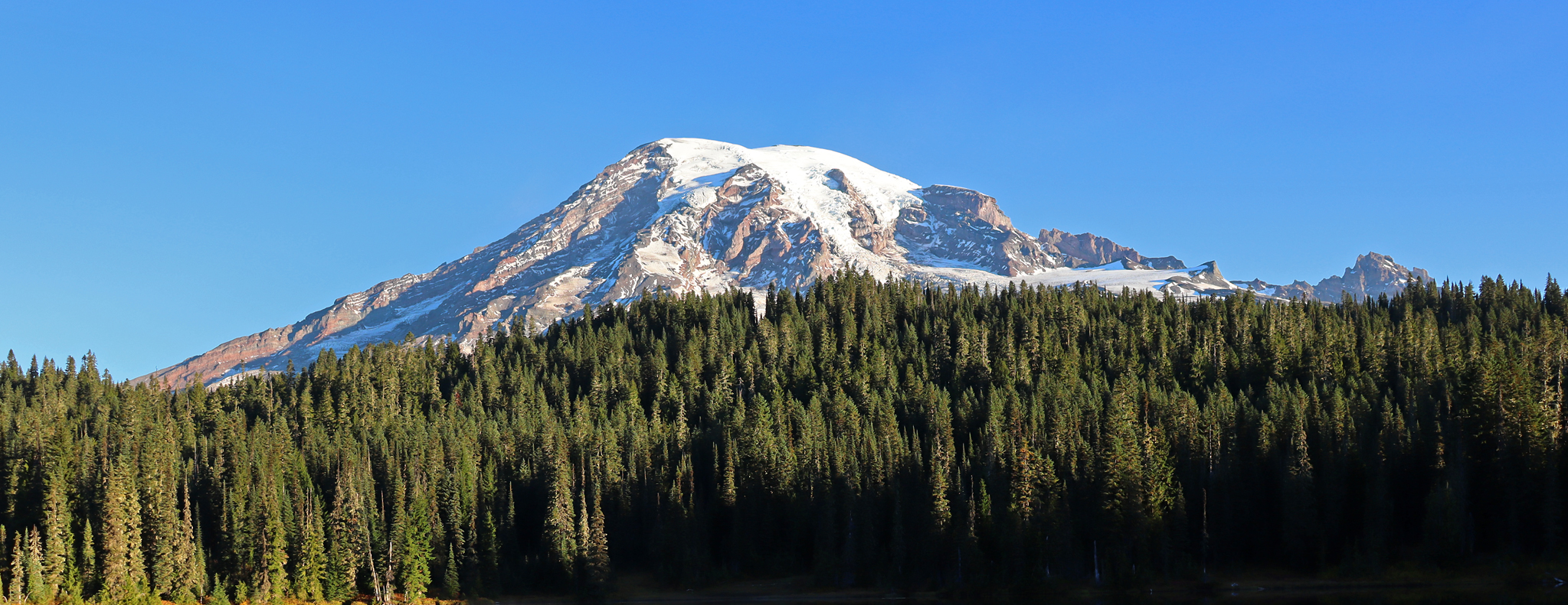
Wonderland Trail — 93 iconic miles around Mount Rainier

Pacific Northwest National Scenic Trail — From Alpine to Alava through the untamed Northwest
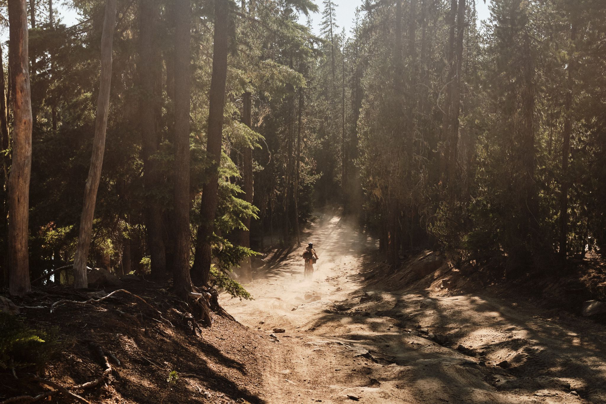
Oregon Timber Trail — High heat

Pacific Crest Trail from Mexico to Canada – 4,200 kilometres of wilderness

Vancouver roundtrip — Bikepacking British Columbia
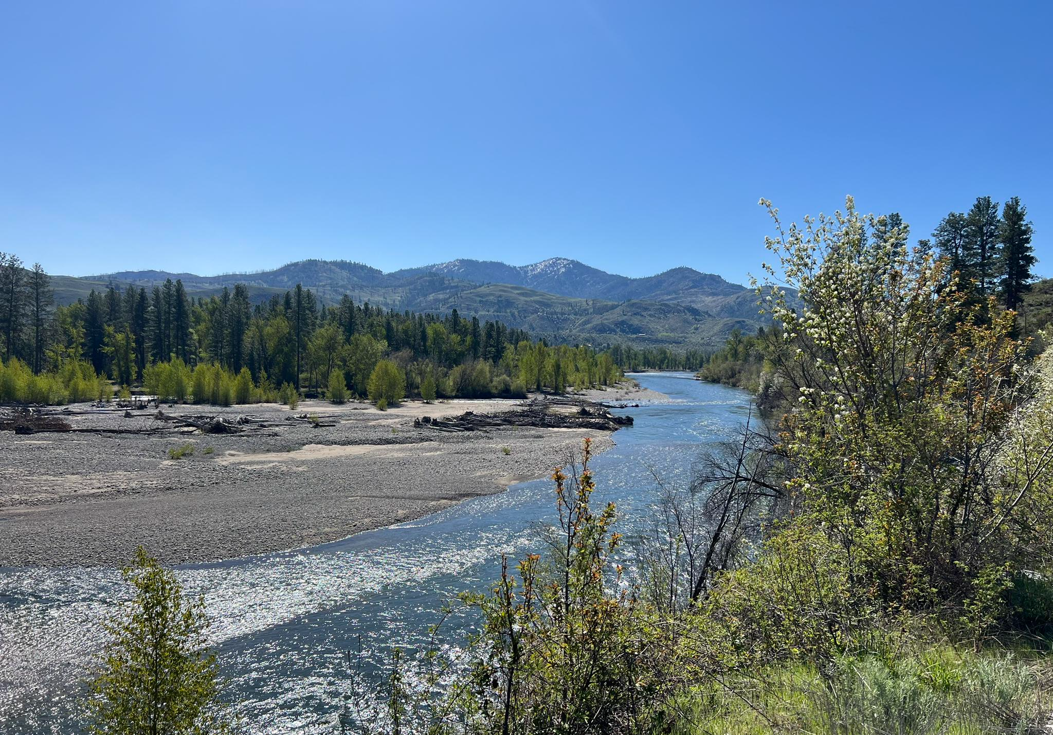
Winthrop Chelan Traverse — The backroads of the Eastern Cascades
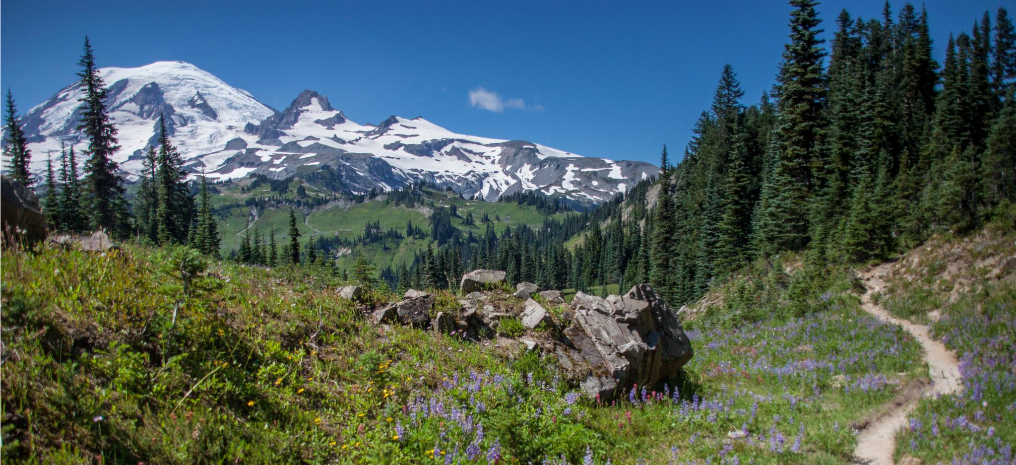
Wonderland Trail — 3-Day fastpacking through the dreamscape
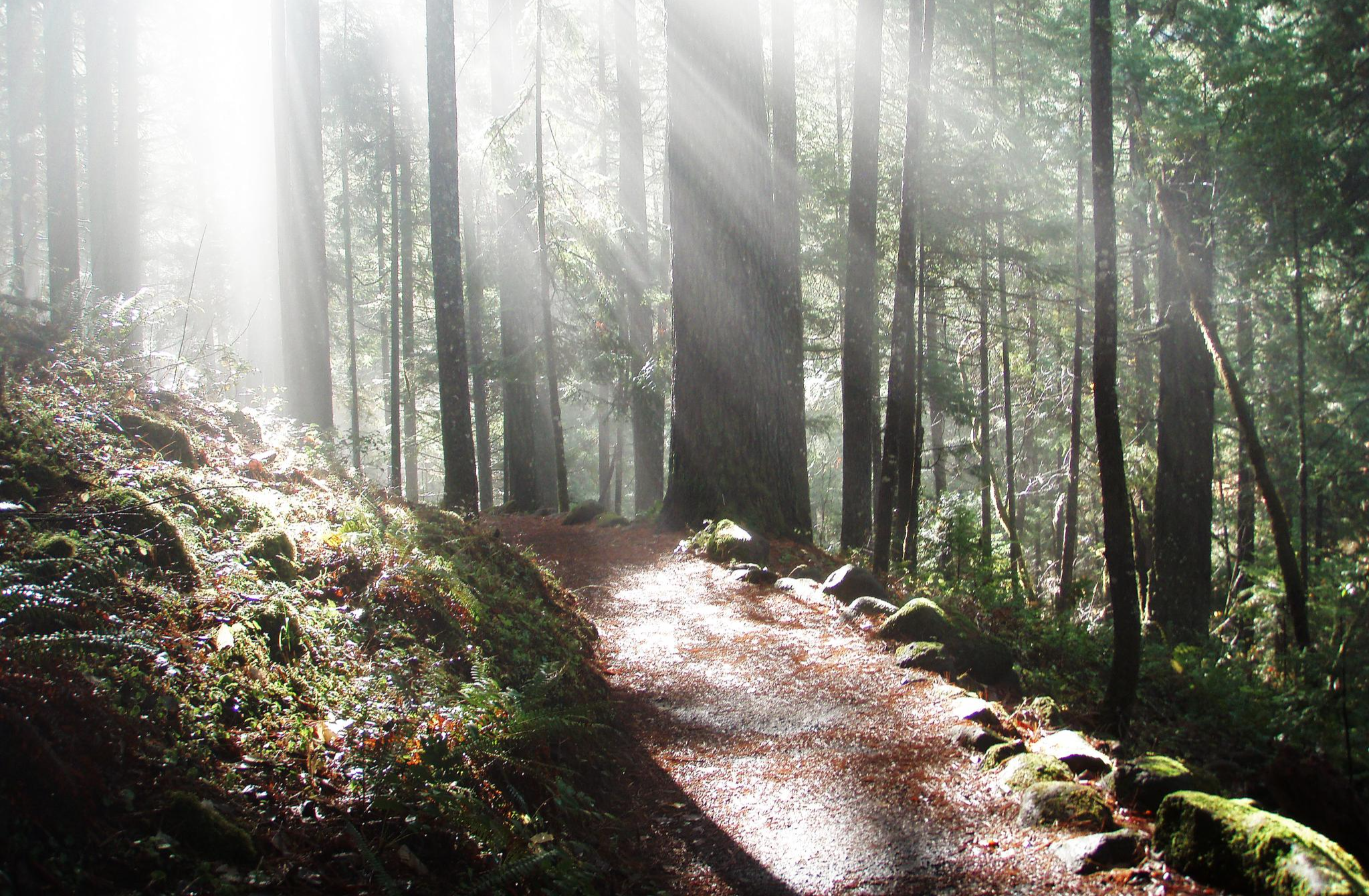
The North Umpqua Trail — Riding through Oregon's Lush Backcountry
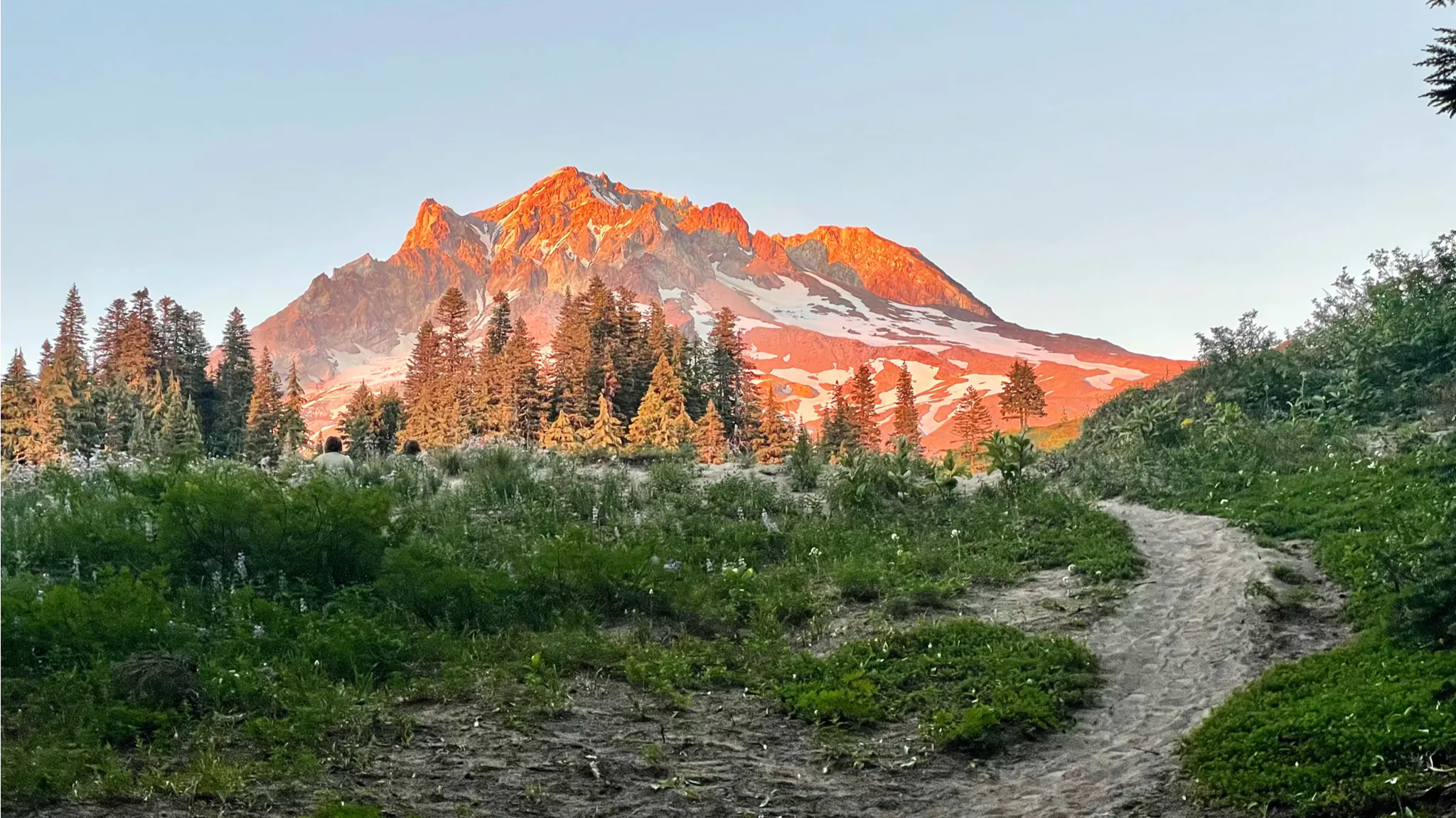
Timberline Trail — A Scenic Mount Hood Adventure
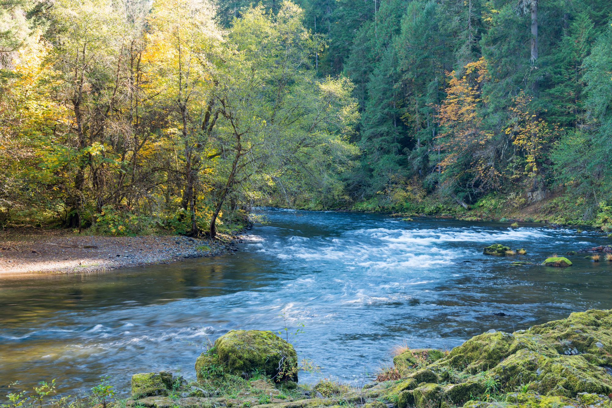
North Umpqua Trail — Waterfalls, Lakes & Lava
Other adventures in the Cascade Range


Tips from the Community

Definitely worth the round trip to take the McKenzie Pass. There is a vault toilet here that is very well maintained. There are stairs but also an accessible gradual path to the lower part of the observatory. The extra lava tour path is also fully paved and accessible.
0
0

Here you can find many nice stalls.
3
0

Quite roads for most of the loop, and rest spots along the way.
0
0


A very beautiful market with lots of flowers and also lots of fish, well worth seeing.
1
0

Cool place, lots of unique smells and tons of people make sure to carry money and wallets close as pickpockets are frequent
1
0

A one-way scenic route departing from Paradise and connecting to Stevens Canyon Road offers breathtaking views of Mount Rainier, alpine meadows, and mountain passes. Please ride with caution.
0
0
Here's a perfect spot to take a break, park your bike, and walk up the trail for an excellent view of both Lower and Upper Multnomah Falls.
1
0
Frequently Asked Questions
How many road cycling routes are available in the Cascade Range?
The Cascade Range offers a wide selection of road cycling routes, with over 375 tours available on komoot. These routes cater to various skill levels, from easy to difficult, ensuring there's something for every cyclist.
Are there road cycling routes suitable for beginners or those seeking an easier ride in the Cascade Range?
Yes, the Cascade Range features over 100 easy road cycling routes. For a moderate ride with scenic views, consider the Mountains to Sound Trail and Mercer Island Loop, which offers views of Lake Washington. Another accessible option is the paved segments of the Historic Columbia River Highway State Trail, such as the Twin Tunnels route.
What are some challenging road cycling routes for experienced riders in the Cascade Range?
For experienced cyclists seeking a challenge, the Cascade Range offers numerous difficult routes. The McKenzie Pass Scenic Bikeway is a demanding 123 km route with significant elevation gain. Another option is the Bridge of the Gods Ride, a 100 km trail through the Columbia River Gorge. The Cascade-Siskiyou Scenic Bikeway also presents a difficult ride with over 1,600 meters of elevation gain.
What kind of terrain and elevation can I expect when road cycling in the Cascade Range?
The Cascade Range offers diverse terrain, from lush western slopes to drier eastern scrublands, characterized by volcanic peaks and dense forests. Cyclists can expect significant elevation changes, with some routes gaining over 1,000 feet in two hours, and challenging climbs exceeding 3,000 feet over five hours on more difficult trails. The region is known for its dramatic topography, providing varied environments for road cycling.
Are there any scenic viewpoints or natural features to look out for along road cycling routes in the Cascade Range?
Absolutely. The Cascade Range is rich in natural beauty. You can find stunning waterfalls like Wiesendanger Falls and Punch Bowl Falls, especially along routes in the Columbia River Gorge. The region also features unique geological formations such as Talus Rocks and the Natural Bridge. Many routes offer breathtaking vistas of volcanic peaks and alpine scenery.
What is the best time of year for road cycling in the Cascade Range?
The best time for road cycling in the Cascade Range generally depends on the specific area and elevation. Many higher elevation passes, like the North Cascades Highway, are only open seasonally, typically from late spring through early fall due to snow. Lower elevation routes and those in national parks like Mount Rainier offer opportunities from spring to fall. Always check local conditions and road closures before planning your ride.
Are there any circular road cycling routes in the Cascade Range?
Yes, the Cascade Range offers several excellent loop routes. The Mountains to Sound Trail and Mercer Island Loop is a popular moderate option. For a more challenging ride, consider the Longmire, Paradise, Valley Road, and Ruby Falls loop within Mount Rainier National Park, or the Three Lake loop.
What do other road cyclists enjoy most about road cycling in the Cascade Range?
The Cascade Range is highly rated by the komoot community, with an average score of 4.6 stars from over 100 reviews. Cyclists often praise the region's diverse landscapes, from dramatic volcanic peaks to lush forests, and the variety of routes that cater to different skill levels. The stunning natural features, including glaciers and waterfalls, are frequently highlighted as key attractions.
Can I find family-friendly road cycling routes in the Cascade Range?
While many routes in the Cascade Range feature significant elevation, there are family-friendly options, particularly on paved segments of scenic byways. The Historic Columbia River Highway State Trail, for example, offers easier, paved sections like the Twin Tunnels route, which provides scenic views in a more controlled environment. Always check route details for difficulty and terrain suitability for your family.
Are there specific areas within the Cascade Range known for road cycling?
Yes, several areas are particularly renowned for road cycling. The Columbia River Gorge is a popular hub, offering routes like the Historic Columbia River Highway State Trail. Mount Rainier National Park also provides excellent cycling opportunities. Additionally, the North Cascades, often called the 'American Alps,' offer challenging and rewarding experiences, such as those found along the North Cascades Highway (SR 20).
What are some notable volcanic peaks or natural monuments to see while cycling in the Cascades?
The Cascade Range is defined by its volcanic peaks. While cycling, you can experience views of iconic stratovolcanoes like Mount Rainier, Mount Hood, and the Three Sisters. The region is also home to unique natural monuments such as Big Four Ice Caves and the Ape Cave Interpretive Site, offering fascinating geological insights.
Are there any routes that offer views of lakes or rivers?
Many road cycling routes in the Cascade Range feature stunning views of lakes and rivers. The Mountains to Sound Trail and Mercer Island Loop provides views of Lake Washington. The North Cascades Highway offers vistas of Ross Lake and Diablo Lake. Additionally, the Columbia River Gorge area, traversed by routes like the Bridge of the Gods Ride, showcases the majestic Columbia River and its tributaries, such as Multnomah Creek.
Most popular routes in the Cascade Range
Most popular attractions in the Cascade Range

Get inspired with the komoot mobile app


Explore more
Browse the best Road cycling routes in other regions.
