The best waterfall hikes and walks in the Cascade Range
4.7
(3451)
64,227
hikers
323
hikes
Waterfall hiking trails in the Cascade Range traverse a diverse landscape extending over 700 miles from British Columbia to Northern California. This region is characterized by volcanic peaks, extensive glaciers, and dense coniferous forests. The terrain includes lush old-growth forests, high alpine environments, and deep river gorges, providing varied ecological zones. Notable features include numerous waterfalls, alpine lakes, and dramatic elevation changes.
Best waterfall hiking trails in the Cascade Range
- The most popular waterfall hiking route is Skyline Trail Loop, a 6.3 miles (10.2 km) trail that takes 3 hours 27 minutes to complete. This moderate route offers views of glaciers and alpine meadows.
- Another top favourite among local hikers is Panorama Point – Mount Rainier National Park, a moderate 5.9 miles (9.5 km) path. This trail provides expansive views of the surrounding peaks and valleys.
- Local hikers also love the Angel's Rest and Devil's Rest Loop Trail, a 11.6 miles (18.7 km) trail leading through forested gorges with multiple viewpoints, often completed in about 6 hours 38 minutes.
- Hiking in the Cascade Range is defined by volcanic peaks, active glaciers, and dense coniferous forests. The extensive network of routes offers options for various ability levels, from accessible day hikes to challenging multi-day backpacking routes.
- The routes in Cascade Range are highly rated by the komoot community with an average score of 4.7 stars from over 3000 reviews. More than 58000 hikers have used komoot to explore Cascade Range's varied terrain.
Last updated: October 4, 2026
4.9
(137)
1,734
hikers
10.2km
03:27
510m
510m
Embark on the Skyline Trail Loop for a classic Mount Rainier hiking experience, covering 6.3 miles (10.2 km) with a moderate difficulty. You'll ascend 1684 feet (513 metres) over an estimated 3 hours and 27 minutes, traversing varied terrain from paved sections to rocky paths. As you climb, you'll be treated to expansive views of Mount Rainier and its majestic glaciers. Look out for vibrant subalpine wildflower meadows that add splashes of color to the landscape. Don't miss the stunning vistas from Panorama Point Summit, offering 360-degree views of the surrounding peaks. The trail also passes the picturesque Myrtle Falls Viewpoint, where Mount Rainier provides a dramatic backdrop.
Plan your hike on the Skyline Trail Loop between mid-July and early October, which is the prime season for exploring this area. If you want to see the wildflowers at their peak, aim for late July to mid-August. Be prepared for varied terrain, including potential snow patches at higher elevations, even during summer months. This popular trail can become very crowded, especially on summer weekends, so consider starting early or visiting on a weekday to avoid the busiest times.
The Skyline Trail Loop offers a deep dive into the natural environment of Mount Rainier National Park. You'll encounter diverse ecosystems, from the lush subalpine meadows to the rugged, glaciated slopes of the mountain itself. Keep an eye out for local wildlife, such as marmots, which are often spotted along the route. This trail is notable for providing some of the most iconic and accessible views of Mount Rainier, making it a highlight for many visitors to the park.
4.9
(139)
1,759
hikers
9.49km
03:18
520m
520m
Moderate hike. Good fitness required. Mostly accessible paths. Sure-footedness required.

4.6
(10)
155
hikers
18.7km
06:38
1,250m
740m
Prepare for a challenging hike on the Angel's Rest and Devil's Rest Loop Trail, a difficult route covering 11.6 miles (18.7 km) with a significant 4103 feet (1251 metres) of elevation gain. This loop typically requires about 6 hours and 37 minutes to complete. You'll traverse varied terrain, passing through areas of forest recovery and alongside several waterfalls, including Multnomah Falls. The ascent to Angel's Rest rewards you with wide-ranging 270-degree views of the Columbia River, Beacon Rock, and on clear days, even Mount St. Helens. It's a strenuous journey that offers a true test of endurance and provides memorable vistas.
Planning your visit requires some foresight, especially regarding parking. The trailhead is popular, particularly on weekends, so arrive early to secure a spot. Be ready for diverse conditions on the trail; you might encounter muddy sections, slush, or even compacted snow at higher elevations depending on the season. Always check current trail conditions before you head out to ensure a safe and enjoyable experience.
This trail is notable for its location within the Columbia River Gorge National Scenic Area, showcasing both natural beauty and the resilience of nature after wildfires. The route offers a unique perspective on the gorge's dramatic landscape and its ongoing ecological recovery. It provides a comprehensive experience of the region's diverse ecosystems and geological features, making it a standout option for those seeking a demanding yet rewarding outdoor adventure.
4.9
(7)
99
hikers
18.9km
05:54
610m
940m
Embark on the Cape Horn Loop Trail for a challenging hike through the Columbia River Gorge. This difficult route spans 11.7 miles (18.9 km) and involves a significant elevation gain of 1989 feet (606 metres), typically taking around 5 hours and 53 minutes to complete. As you hike, you will pass through old-growth forests and over moss-covered talus slopes, with sections that follow country roads. Look out for panoramic views of the Columbia River, including distant landmarks like Beacon Rock, and get up close to Cape Horn Falls. The vistas from Pioneer Point offer a memorable reward for your effort.
Before you set out, be aware of the seasonal closure affecting the southern part of the loop. From February 1st to July 15th each year, this section is closed to protect nesting peregrine falcons. During this period, you will need to complete the Cape Horn Loop Trail as an out-and-back route instead of a full loop. Multiple parking options are available, giving you flexibility on where to begin your hike. Plan your start time to allow ample daylight for the nearly six-hour journey.
The Cape Horn Loop Trail is a highlight within the Columbia River Gorge National Scenic Area, known for its diverse landscapes and geological formations. You will encounter unique basalt rock pillars, such as Cigar Rock, which add to the trail's distinctive character. The commitment to protecting nesting peregrine falcons underscores the area's rich biodiversity. This route offers a deep immersion into the natural beauty and ecological significance of the Gorge.
4.9
(8)
82
hikers
6.71km
02:18
300m
340m
Embark on the Skyline and Golden Gate Loop, a moderate hiking route that offers continuous, expansive views of Mount Rainier and the surrounding Paradise region. This 4.2-mile (6.7 km) loop involves a steady climb of 992 feet (302 metres), typically taking around 2 hours and 17 minutes to complete. As you hike, you will wind through vibrant Subalpine Wildflower Meadows, which are particularly colorful during peak season. The trail also leads you past picturesque cascading waterfalls, including Myrtle Falls, adding to the scenic beauty. Expect varied terrain, and be prepared for the possibility of encountering snowfields even into the summer months, which can make some sections slippery.
When planning your hike on the Skyline and Golden Gate Loop, remember that little shade is available along the route, so carrying plenty of water is essential for your comfort and safety. Due to the varied terrain, which can include snowfields even in summer, appropriate footwear is highly recommended. The area features numerous intersecting trails, so bringing a map or using a GPS device will help you stay on the correct path and navigate confidently. Always check the weather forecast before you head out, as conditions can change rapidly in the mountains.
This trail is notable for its panoramic vistas, offering sweeping views from Panorama Point that extend across the Paradise valley to Mount St. Helens and even Mount Hood on clear days. The route provides an immersive experience within Mount Rainier National Park, showcasing its unique subalpine ecosystem and dramatic glacial landscapes. It is an excellent choice if you are looking for a rewarding hike that combines stunning natural beauty with a good physical challenge, making it a highlight of the region.
Get access to more routes and recommendations from other explorers.
Already have an account?
Our route recommendations are based on thousands of hikes, rides, and runs completed by other people on komoot.
Start today with a free account
Your next adventure awaits.
Popular around Cascade Range
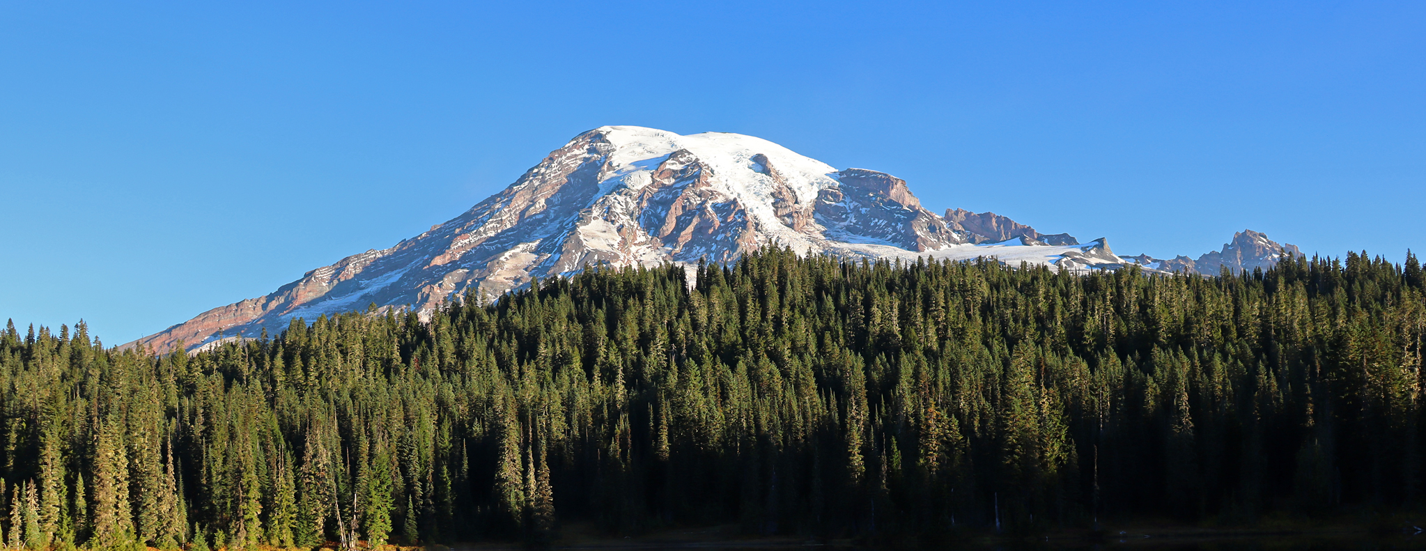
Wonderland Trail — 93 iconic miles around Mount Rainier

Pacific Northwest National Scenic Trail — From Alpine to Alava through the untamed Northwest

Pacific Crest Trail from Mexico to Canada – 4,200 kilometres of wilderness
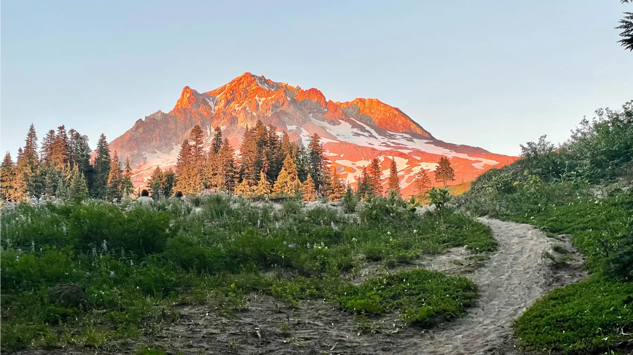
Timberline Trail — A Scenic Mount Hood Adventure
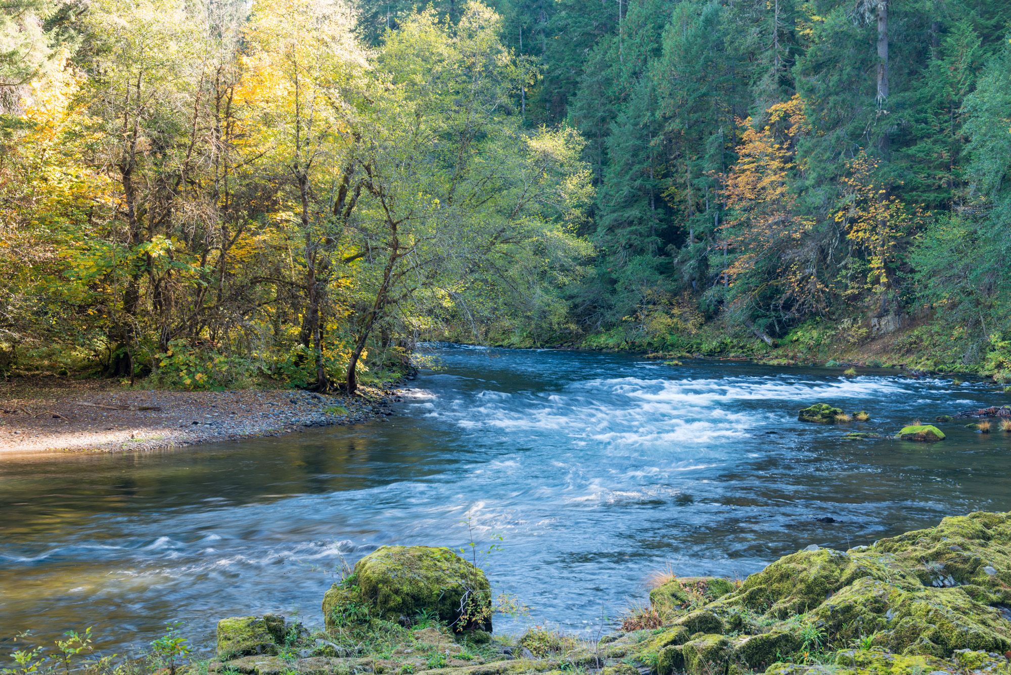
North Umpqua Trail — Waterfalls, Lakes & Lava

The tour of your life – music trails on the Pacific coast
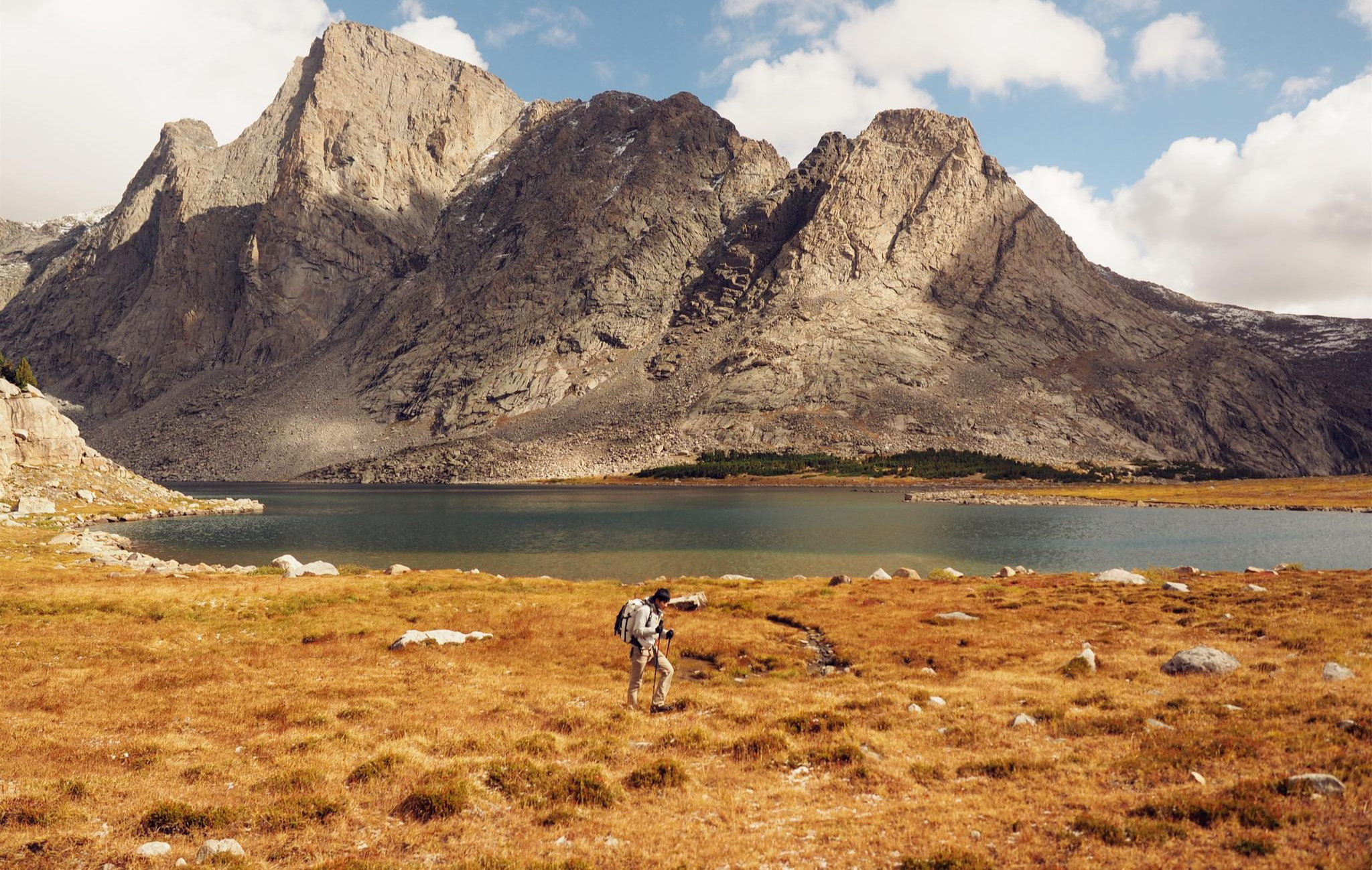
Like in the Wild West – hiking on the Oregon Trail
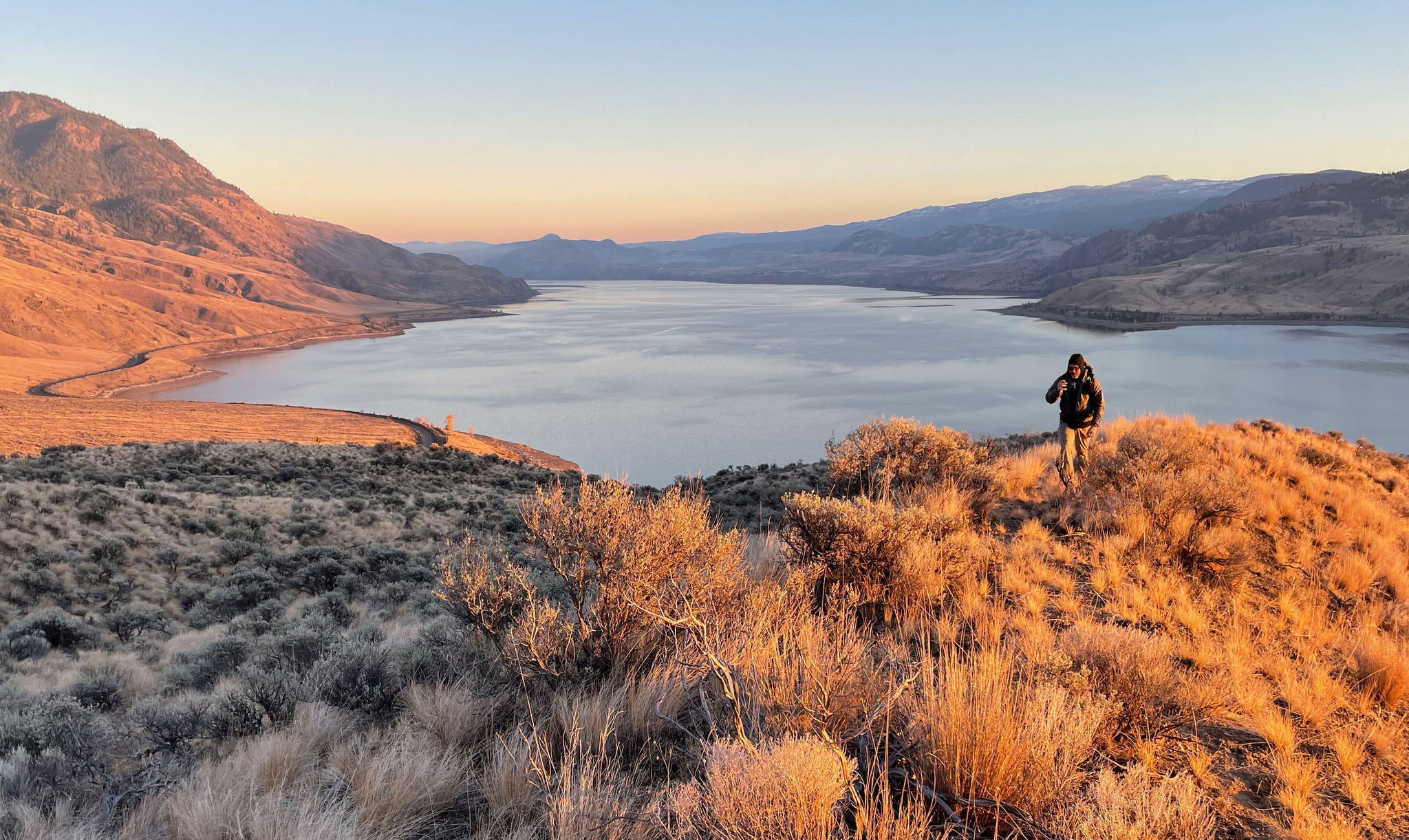
Forests, desert, wilderness - day tours in British Columbia
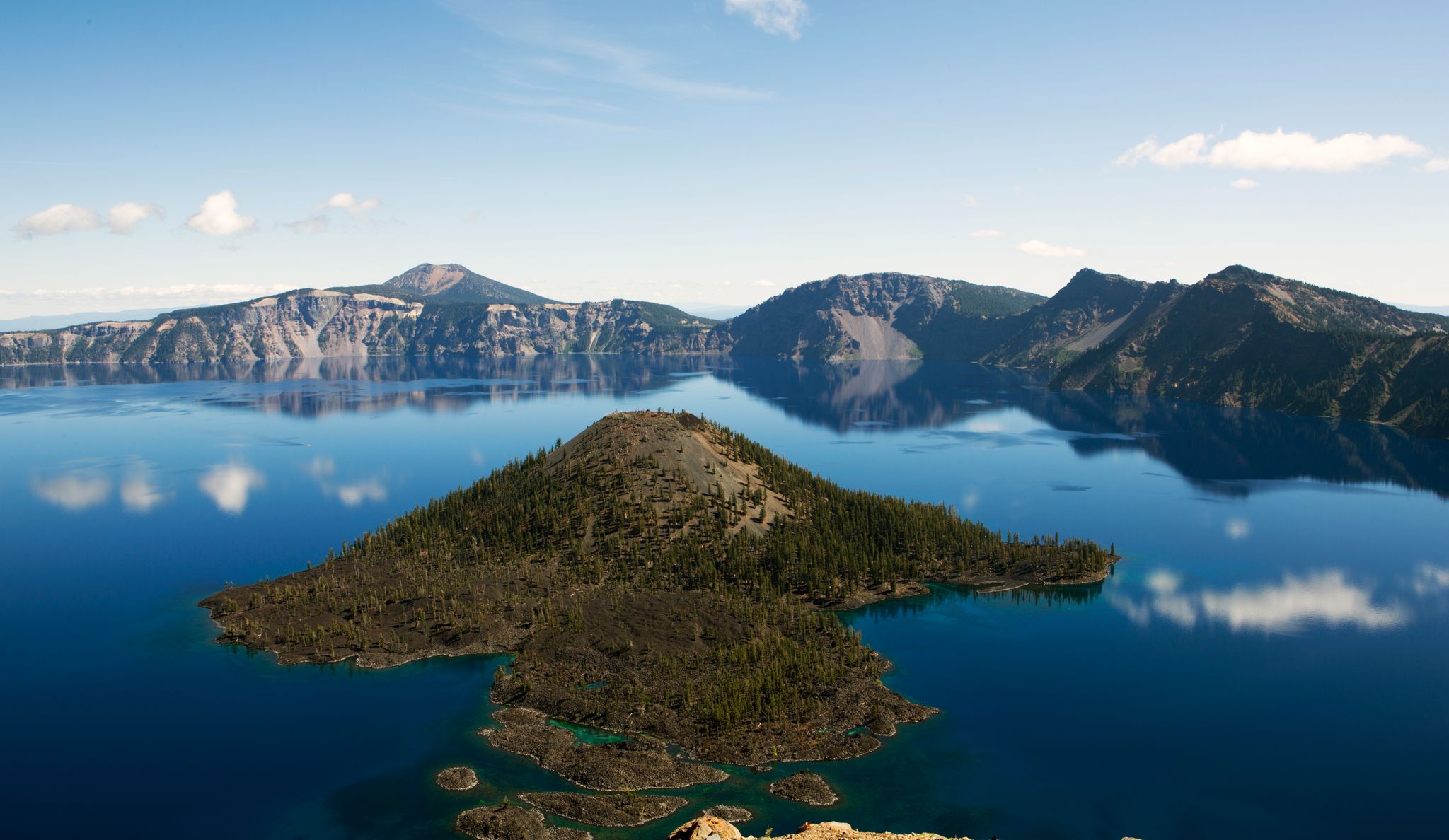
Volcanic peaks and glistening shores – discover Oregon and Washington

The pristine beauty of the US National Parks
Other adventures in the Cascade Range


Tips from the Community

A great way to get up close and personal with the glaciers and high alpine environment of Mt Rainier.
0
0

I was recently looking for traditional Viennese restaurants and came across Restaurant Marienhof https://restaurant-marienhof.de/ . I particularly liked the combination of classic Viennese cuisine, cozy atmosphere, and the quiet courtyard garden. Such places show that traditional gastronomy still retains its special charm today. Those who want to enjoy authentic Austrian dishes and spend a relaxing evening in Vienna will find an interesting address there.
0
0

Beautiful hike. Crowded. Make sure you bring water as there is no where to fill up. Not even visitor center. No restrooms. Just overstuff porta potties. Come early. Parking difficult. We got here at 310 pm and found some. But there’s a lot of people. We waiting in line to get into park 1 hour! They need a better system!
0
0

Great trail with amazing views of the surrounding mountains and Mt. Rainier.
0
0
A fantastic vantage point. You can see Mt. Rainier and other surrounding highlights such as Mt. Adams and Mt. Hood. Highly recommended!
0
0
Great visitor center. The parking lot has just been renovated. The restrooms are currently being renovated.
0
0
Frequently Asked Questions
How many waterfall hiking trails are available in the Cascade Range?
The Cascade Range offers a vast network of trails, with over 260 dedicated waterfall hiking routes. These range from easy strolls to challenging treks, ensuring options for all skill levels.
What is the best time of year to visit the Cascade Range for waterfall hikes?
The best time to visit for waterfall hikes is typically from late spring through early autumn (May to October). During this period, snowmelt feeds the waterfalls, making them particularly impressive, and trail conditions are generally more favorable. However, some lower elevation trails may be accessible year-round.
Are there family-friendly waterfall trails in the Cascade Range?
Yes, the Cascade Range has numerous family-friendly options. Many trails offer relatively gentle gradients and shorter distances suitable for children. For example, some sections of the Columbia River Gorge trails, like those leading to Multnomah Falls, can be enjoyed by families. Always check specific trail details for elevation and distance to ensure it suits your family's abilities.
Can I bring my dog on waterfall hikes in the Cascade Range?
Dog policies vary significantly across the Cascade Range, especially within National Parks where dogs are often restricted to paved areas or specific trails. Always check the regulations for the specific park or forest you plan to visit. In many National Forests, leashed dogs are generally welcome on trails.
Are there any circular waterfall routes for hikers?
Yes, several circular routes allow you to experience multiple waterfalls or return to your starting point without retracing your steps. A popular option is the Wahkeena Falls Trail to Fairy Falls and Multnomah Falls loop in the Columbia River Gorge, which connects several stunning waterfalls on a moderate 5.1-mile path.
What kind of terrain can I expect on waterfall trails in the Cascade Range?
The terrain is incredibly diverse, reflecting the Cascade Range's varied landscape. You can expect lush old-growth forests, deep river gorges, and sometimes rocky or root-filled paths. Trails often feature significant elevation changes as they climb alongside or above waterfalls, offering dramatic viewpoints. Some higher elevation trails may involve alpine meadows and even views of glaciers.
What are some notable landmarks or viewpoints along waterfall trails?
Beyond the waterfalls themselves, the Cascade Range offers spectacular landmarks. In Mount Rainier National Park, trails often provide views of the majestic Mount Rainier and its glaciers. The Columbia River Gorge is famous for its dramatic basalt cliffs. You might also encounter mountain passes like Cascade Pass or Chinook Pass, offering panoramic views of the surrounding volcanic peaks and forests.
Do I need permits for waterfall hikes in certain areas of the Cascade Range?
Permit requirements vary by location. National Parks like Mount Rainier and North Cascades often require entrance fees or passes, and some popular trails may require wilderness permits for overnight stays or even timed entry for day use during peak season. Always check the specific park or forest service website for the latest permit information before your visit.
What are the parking options like for popular waterfall trails?
Parking at popular waterfall trailheads can be limited, especially during peak season and on weekends. Arrive early to secure a spot. Some areas, particularly in the Columbia River Gorge, may have designated parking lots that fill up quickly, or require a parking pass. Always check for specific parking instructions or shuttle services if available for your chosen trail.
Are there less crowded waterfall trails for a more peaceful experience?
While popular spots can get busy, the vastness of the Cascade Range means there are many less-trafficked trails. To find quieter experiences, consider visiting during weekdays, outside of peak season, or exploring trails that require a bit more effort or are further off main roads. Researching trails in less-known areas of National Forests can also lead to peaceful discoveries.
What should I pack for a waterfall hike in the Cascades?
For waterfall hikes in the Cascades, it's wise to pack layers of clothing, as weather can change rapidly. Bring waterproof outerwear, sturdy hiking boots with good grip, plenty of water, snacks, and a map or GPS device. A camera is a must for capturing the stunning scenery. Depending on the trail, trekking poles can also be beneficial for stability on uneven or steep terrain.
What do other hikers say about waterfall trails in the Cascade Range?
The waterfall trails in the Cascade Range are highly rated by the komoot community, with an average score of 4.7 stars from over 2700 reviews. Hikers frequently praise the stunning natural beauty, the variety of trail difficulties, and the rewarding views of powerful waterfalls and lush forests. Many appreciate the well-maintained paths and the immersive experience in nature.
Are there any challenging waterfall treks for experienced hikers?
Absolutely. The Cascade Range offers numerous challenging treks for experienced hikers, often involving significant elevation gain and longer distances. Trails leading into the high alpine environments of the North Cascades or those that circumnavigate peaks like the Wonderland Trail in Mount Rainier National Park, while not solely focused on waterfalls, often pass by impressive cascades and require advanced planning and fitness.
Most popular routes in the Cascade Range
Most popular attractions in the Cascade Range

Get inspired with the komoot mobile app


Explore more
Browse the best Hikes in other regions.
