The best hikes from bus stations in Kildare
4.5
(294)
3,228
hikers
43
hikes
Bus station hiking trails in Kildare offer access to a diverse landscape of ancient woodlands, expansive grasslands, and historic canal and river paths. The county is characterized by its relatively flat terrain, with gentle elevations, making many routes accessible. Hikers can explore a mix of natural features, including the vast Curragh Plains and the tranquil Grand Canal Way. The region provides a variety of environments for outdoor exploration.
Best bus station hiking trails in Kildare
- The most popular bus station hiking route is The Barrow Way: Robertstown to Rathangan return, a 17.6 miles (28.3 km) trail that takes 7 hours 11 minutes to complete. This route follows the historic Barrow Way, offering views of the River Barrow.
- Another top favourite among local hikers is Liffey Valley Par 3 loop from Leixlip, a moderate 5.7 miles (9.2 km) path. This trail navigates through the Liffey Valley, providing a mix of riverside scenery and parkland.
- Local hikers also love the Louisa Bridge, Leixlip loop from Leixlip, a 2.7 miles (4.4 km) trail leading through urban green spaces and along the canal, often completed in about 1 hour 8 minutes.
- Hiking in Kildare is defined by historic canal towpaths, expansive grasslands like the Curragh Plains, and serene woodlands. The network offers options for various ability levels, from easy strolls to longer, more challenging paths.
- The routes in Kildare are highly rated by the komoot community with an average score of 4.5 stars from over 260 reviews. More than 3100 hikers have used komoot to explore Kildare's varied terrain.
Last updated: June 24, 2026
28.3km
07:09
50m
50m
Hike the difficult 17.6-mile Barrow Way from Robertstown to Rathangan and back, exploring historic canal paths and Ballyteague Castle.
6.61km
01:42
20m
40m
Easy hike. Great for any fitness level. Easily-accessible paths. Suitable for all skill levels.

Sign up for free
4.5
(4)
76
hikers
9.25km
02:23
50m
50m
Moderate hike. Good fitness required. Easily-accessible paths. Suitable for all skill levels.
14
hikers
4.43km
01:08
20m
20m
Easy hike. Great for any fitness level. Easily-accessible paths. Suitable for all skill levels.
10
hikers
5.53km
01:26
30m
30m
Easy hike. Great for any fitness level. Easily-accessible paths. Suitable for all skill levels.
Get access to more routes and recommendations from other explorers.
Sign up for free
Already have an account?
Our route recommendations are based on thousands of hikes, rides, and runs completed by other people on komoot.
Start today with a free account
Your next adventure awaits.
Login or Signup
Popular around Kildare
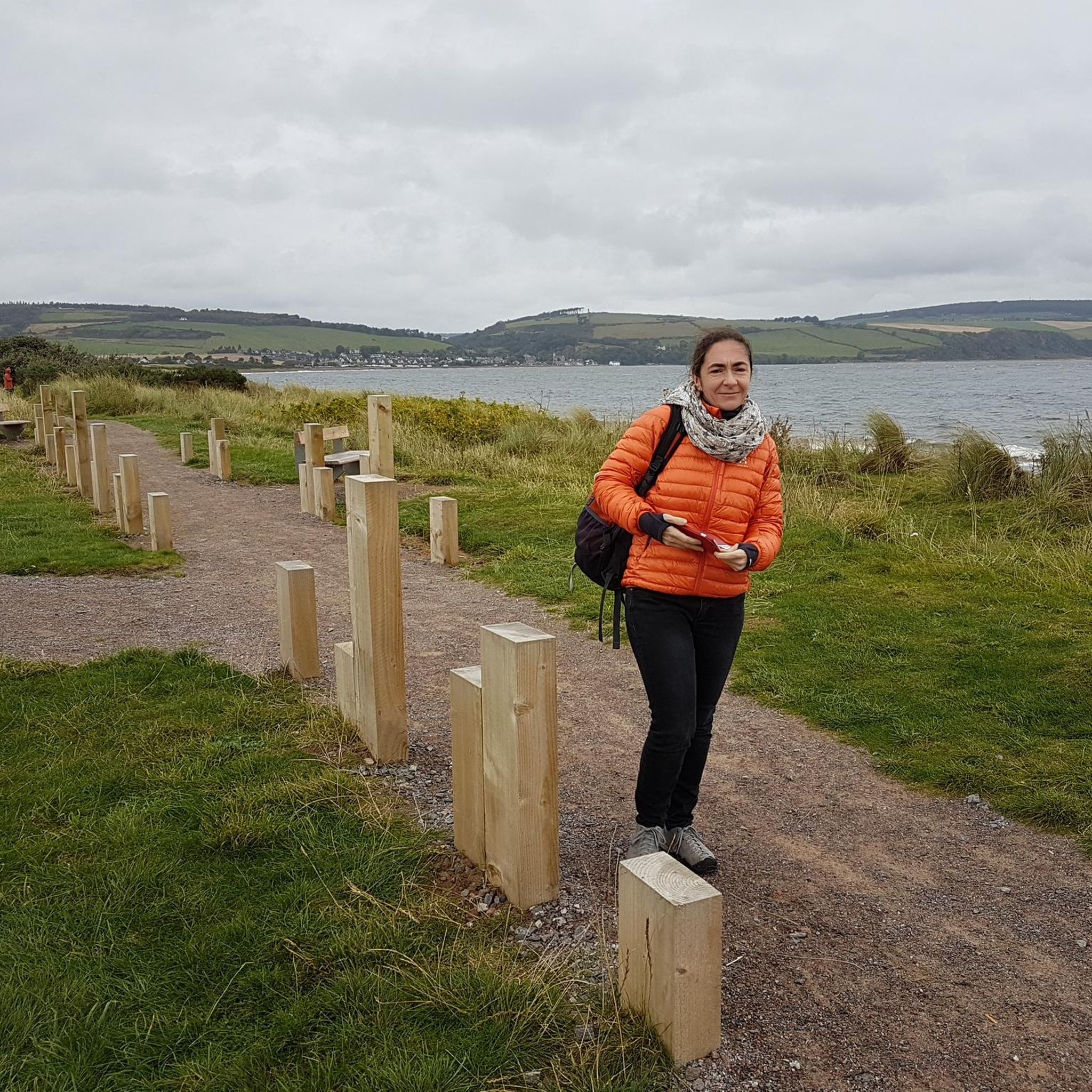
Hikes from bus stations around The Municipal District of Clane — Maynooth

Hikes from bus stations around Kildare-Newbridge

Hikes from bus stations around The Municipal District of Naas
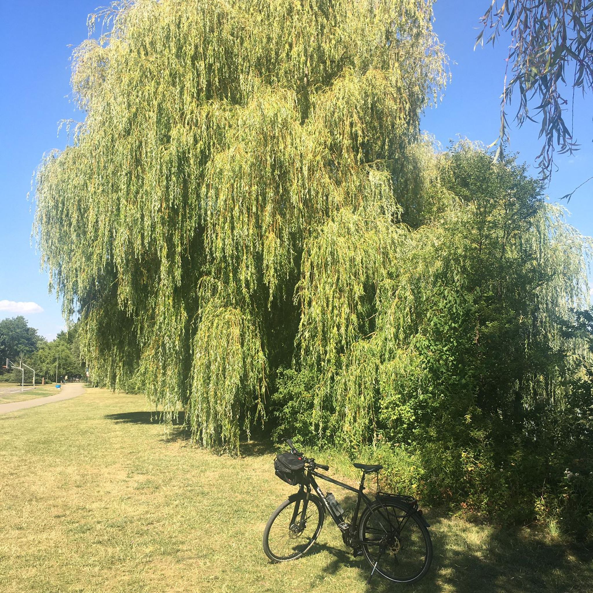
Hikes from bus stations around Celbridge-Leixlip
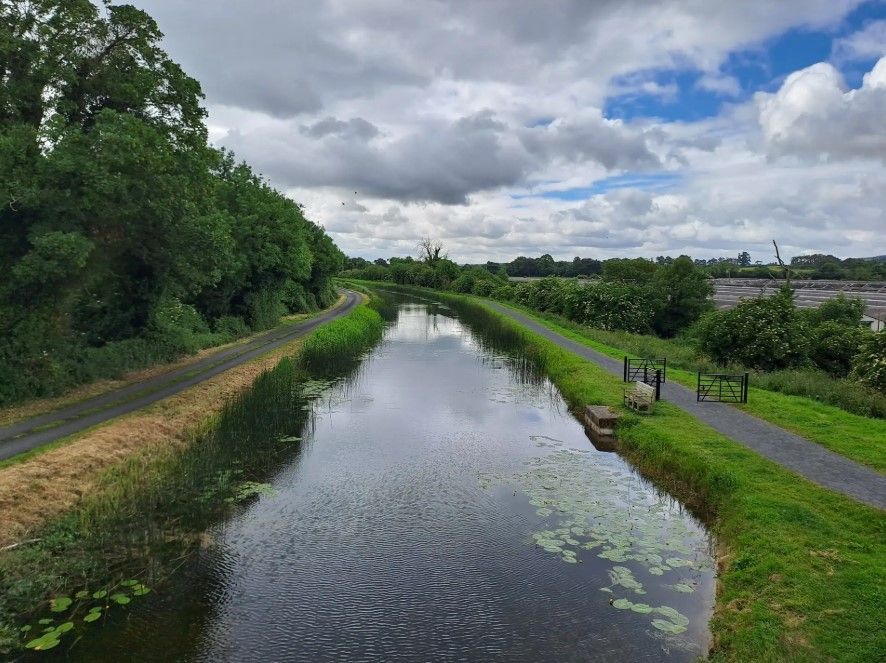
The Barrow Way — Walking Beside Quiet Waters

Follow the water - Along Ireland's rivers and lakes

Ireland's blue rivers and lakes – walks along the water
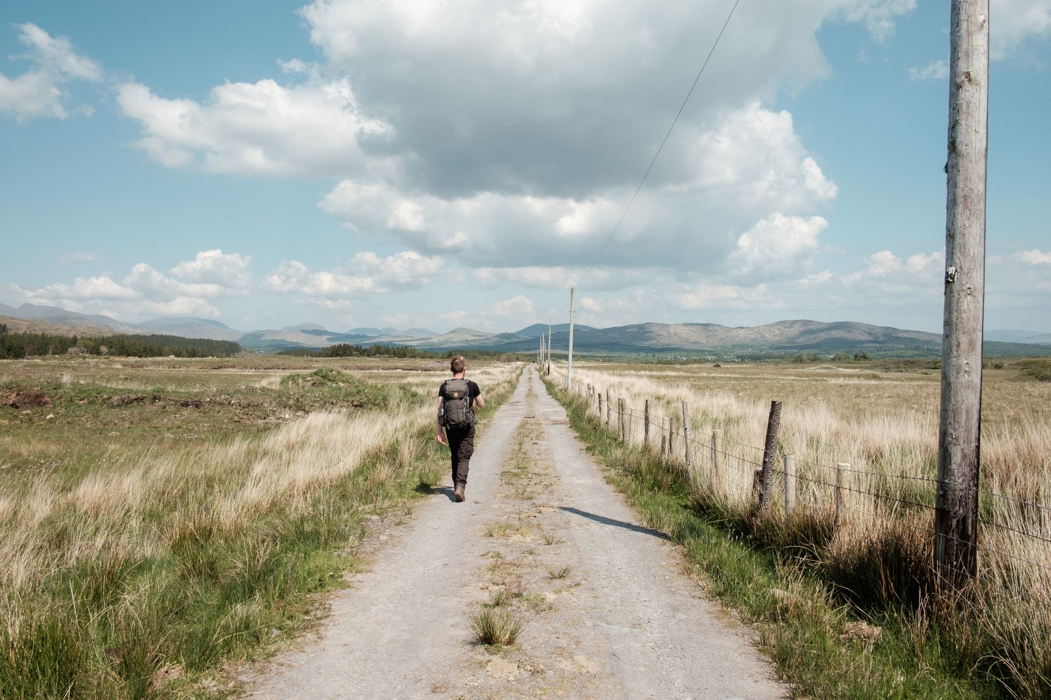
Irish wanderlust — 8 long-distance hiking trails on the Emerald Isle
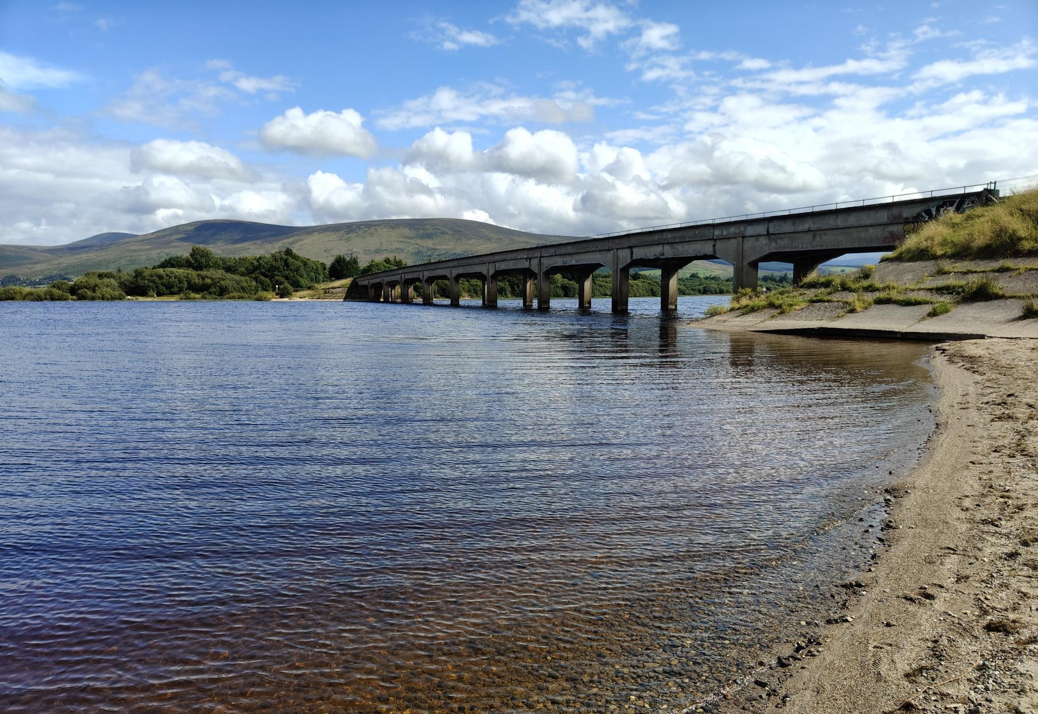
Lough shores and country roads – Blessington Loop
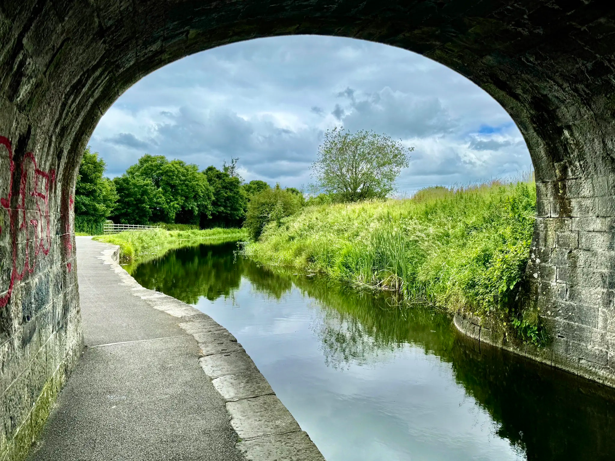
Cycling Ireland’s Longest Greenway – Royal Canal Greenway
Other adventures in Kildare


Tips from the Community

The Milltown Feeder stretch of the Grand Canal is one of the cleanest and most picturesque stretches of all. Its entire length is walkable and it was originally built as a water supply, rather than as a navigable section. However, it was once used by at least some boat traffic.
0
0
The Grand Canal is one of two major canals that connect Dublin with the River Shannon, along with the Royal Canal. At Milltown Bridge, its former glory can be appreciated in the form of a ruined mill building and the namesake 200-year-old single arch footbridge.
0
0
Ancient mills and a darkly named public house give this stretch of the Grand Canal a certain atmosphere. The Hanged Man's Pub & Restaurant is permanently closed at the time of writing (June 2026), though its not far to The Inn @ Milltown for those in need of refreshment.
0
0

The River Liffey's presence in Leixlip isn't just a picturesque view; it's a place of connection and rejuvenation. Locals and visitors often gather here for leisurely walks, picnics, and moments of reflection. It's a testament to the restorative power of nature and the role it plays in enhancing our well-being. 🌊🏞️
2
0
Leixlip Louisa Bridge stands as an iconic and historic landmark that spans the River Liffey, connecting the town of Leixlip and its rich heritage. 🌉🏞️ Named after Louisa Conolly, the wife of Tom Conolly, who was a prominent landowner in the area, the bridge has been an essential link between communities and a witness to the passage of time. Louisa Bridge is a place where history, architecture, and the flow of the river converge, inviting you to reflect on the passage of time and the significance of the structures that shape our lives. 🌉🏞️🌅
1
0
Liffey Valley Par 3 is known for its friendly and welcoming atmosphere, making it an ideal spot for families, friends, and individuals looking to enjoy a relaxed environment. The scenic views and well-maintained greens add to the overall enjoyment of the experience. ⛳🌳🏞️
1
0
The Lucan Fairy Demesne Bridge over the River Liffey. The Bridge offers a picturesque spot for photos and leisurely walks. 🌈🌳🧚♂️
1
0
Leixlip St. Catherine's Well Church is a historic and culturally significant site nestled in the town of Leixlip. 🏰⛪ The church's architecture reflects a blend of traditional and Gothic influences, showcasing the craftsmanship of its time. It's surrounded by lush greenery and nestled near the banks of the River Liffey. St. Catherine's Well Church provides a unique and meaningful experience. It's a reminder of Ireland's enduring traditions and the timeless beauty of its places of worship. 🌿🏰⛪
1
0
Frequently Asked Questions
How many bus station hiking trails are available in Kildare?
There are over 40 hiking routes in Kildare that are easily accessible from bus stations. These trails cater to various preferences, with 33 easy routes, 9 moderate, and 1 difficult option.
What types of landscapes can I expect to see on bus-accessible hikes in Kildare?
Kildare's bus-accessible hikes offer a diverse range of landscapes. You can explore expansive grasslands like the Curragh Plains, ancient woodlands such as Killinthomas Wood and Donadea Forest Park, or enjoy scenic canal and river trails along the Barrow Way and Grand Canal Way. The region also features unique alkaline peatlands at Pollardstown Fen and the highest point in the county, Cupidstown Hill, offering panoramic views.
Are there any easy, family-friendly hiking loops accessible by bus in Kildare?
Yes, Kildare offers several easy, family-friendly loops accessible by bus. For example, the Hiking loop from Maynooth is an easy 5.5 km route, and the Hiking loop from Kildare is another accessible 4.3 km option, both suitable for a relaxed outing.
What do other hikers enjoy most about bus-accessible trails in Kildare?
The komoot community highly rates the bus-accessible trails in Kildare, with an average score of 4.5 stars from over 260 reviews. Hikers often praise the accessibility of these routes, the variety of landscapes from tranquil woodlands to scenic canal paths, and the opportunity to discover the region's natural beauty without needing a car.
Are there any longer, more challenging bus-accessible hikes in Kildare?
For those seeking a longer and more challenging experience, consider The Barrow Way: Robertstown to Rathangan return. This difficult 28.25 km route follows the historic towpath, offering a substantial day out with beautiful riverside scenery.
Can I find any historical sites or natural monuments along these bus-accessible routes?
Absolutely. Many bus-accessible routes in Kildare pass by significant historical sites and natural monuments. You might encounter the impressive Castletown House and Demesne, the historic Maynooth Castle, or the serene Bluebell Forest. For panoramic views, some trails lead to the Cupidstown Hill Summit Trig Point.
Are there any moderate hiking options accessible by bus in Kildare?
Yes, there are several moderate options. A good example is the Liffey Valley Par 3 loop from Leixlip, which is a 9.2 km route offering a pleasant challenge without being overly strenuous, perfect for a half-day adventure.
What are some notable natural features to look out for on bus-accessible hikes?
Kildare is rich in natural beauty. Keep an eye out for the unique ecosystem of Pollardstown Fen with its boardwalk, the extensive grasslands of the Curragh Plains, and the ancient trees of Killinthomas Wood. The canal and river trails also offer opportunities to observe local flora and fauna, including bluebells in spring at places like Moore Abbey Woods.
Are there any short, easy loops near bus stops for a quick walk?
For a quick and easy walk, the Louisa Bridge, Leixlip loop from Leixlip is an excellent choice. This easy 4.4 km loop is perfect for a shorter outing and is conveniently located near bus stops.
Can I find trails that offer both natural beauty and historical interest?
Many trails in Kildare combine both. For instance, Donadea Forest Park, accessible by bus, features not only beautiful woodland trails but also historical relics like castle remains and walled gardens. The Barrow Way also offers a journey through history with its old lock-keepers' cottages and 200-year-old towpath.
Are there any specific forest walks accessible by bus in Kildare?
Yes, Kildare has several beautiful forest walks accessible by bus. Killinthomas Wood near Rathangan offers approximately 10 km of marked trails through a mix of hardwood and conifer trees. Donadea Forest Park also provides three distinct walking trails, including the Lake Walk and Nature Trail, within its forested grounds.
Most popular routes in Kildare
Most popular attractions in Kildare

Get inspired with the komoot mobile app


Didn’t find what you were looking for?
Check out more Hikes throughout Kildare below and find the perfect route in your destination.
Explore more
Browse the best Hikes in other regions.
