The best walks and hikes in the Allgäu
4.5
(200936)
877,110
hikers
13,235
hikes
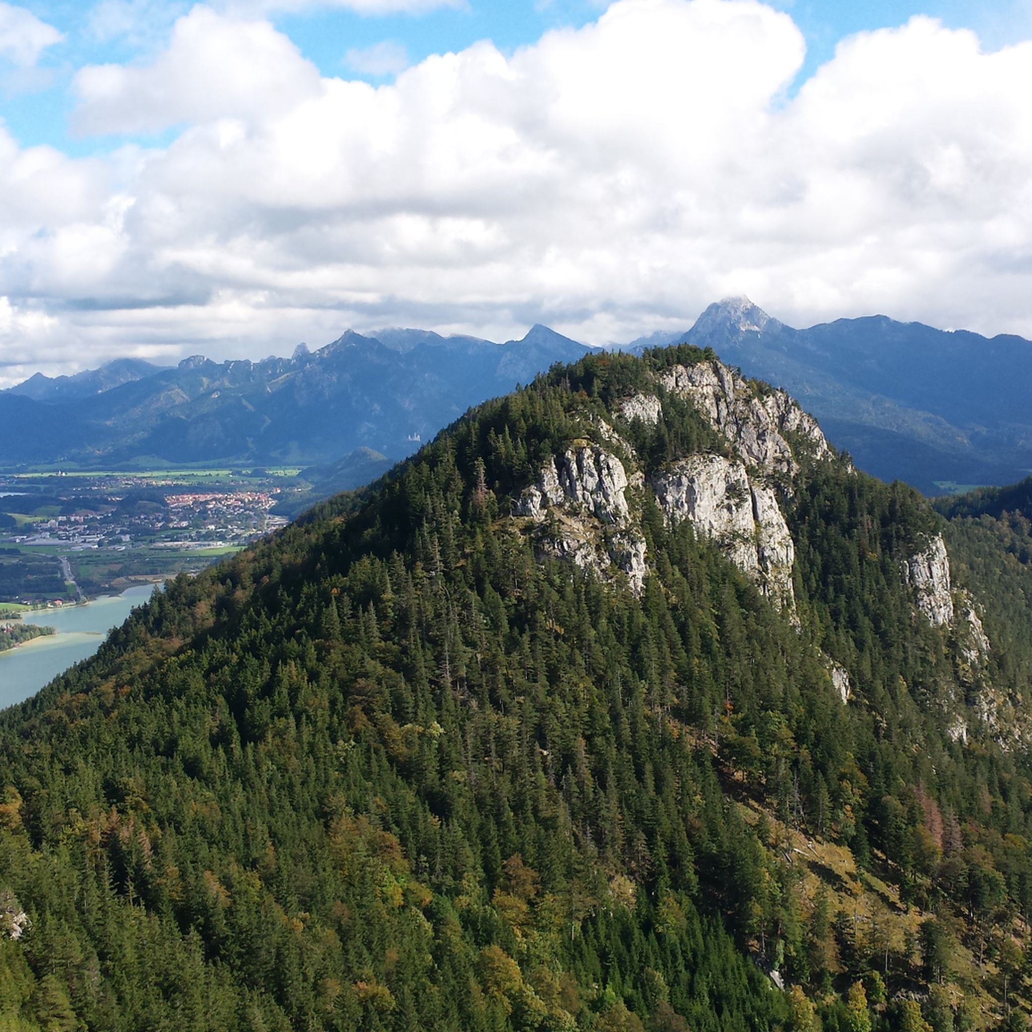
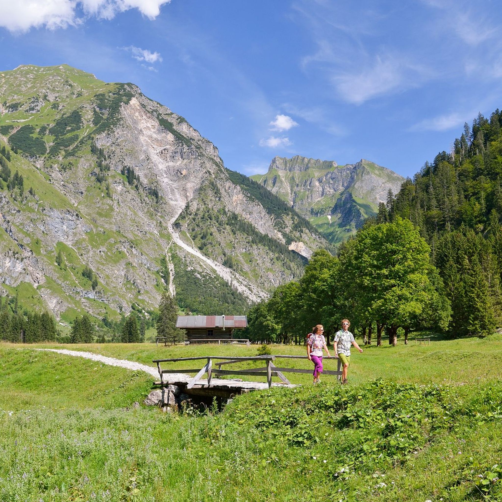
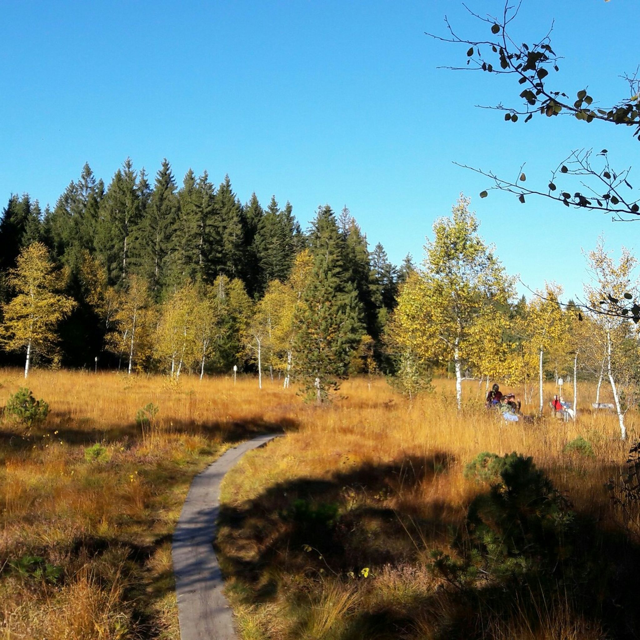
Hiking in the Allgäu offers diverse terrain, from alpine mountains and foothills to lush valleys and clear lakes. The region features dramatic rocky peaks, steep grassy mountains, and extensive forests. Deep gorges carved by water, such as the Breitachklamm, and fascinating moorland areas also characterize the landscape.
Best hiking trails in the Allgäu
- The most popular hiking route is Oytal circuit from Oberstdorf - Allgäu Alps, a 7.1 miles (11.4 km) trail that takes 3 hours 9 minutes to complete, offering views of the Allgäu Alps.
- Another top favourite among local hikers is Starzlachklamm circuit - Allgäu Alps, a moderate 2.9 miles (4.7 km) path. This route leads through a deep gorge with impressive rock formations and waterfalls.
- Local hikers also love the Around the Großer Alpsee - Allgäu, a 6.9 miles (11.0 km) trail leading through varied lakeside scenery, often completed in about 3 hours 0 minutes.
- Hiking in the Allgäu is defined by alpine mountains, clear lakes, and deep gorges. The extensive network of trails offers options for various ability levels, from leisurely walks to challenging ascents.
- The routes in Allgäu are highly rated by the komoot community with an average score of 4.5 stars from over 33,000 reviews. More than 200,000 hikers have used komoot to explore Allgäu's varied terrain.
Last updated: October 12, 2026
4.7
(2526)
9,502
hikers
11.4km
03:09
200m
200m
Moderate hike. Good fitness required. Easily-accessible paths. Suitable for all skill levels.
4.7
(2028)
6,785
hikers
4.69km
01:38
210m
220m
Moderate hike. Great for any fitness level. Mostly accessible paths. Sure-footedness required.

4.6
(1229)
4,497
hikers
11.0km
03:00
150m
150m
Moderate hike. Good fitness required. Easily-accessible paths. Suitable for all skill levels.
4.7
(969)
3,166
hikers
10.6km
03:21
390m
440m
Moderate hike. Good fitness required. Mostly accessible paths. Sure-footedness required.
4.7
(982)
3,248
hikers
6.54km
01:54
150m
150m
Moderate hike. Great for any fitness level. Mostly accessible paths. Sure-footedness required.
4.7
(909)
3,017
hikers
6.50km
01:53
150m
150m
Moderate hike. Great for any fitness level. Mostly accessible paths. Sure-footedness required.
4.8
(886)
3,960
hikers
4.02km
01:15
150m
160m
Easy hike. Great for any fitness level. Easily-accessible paths. Suitable for all skill levels.
4.8
(574)
2,305
hikers
18.1km
06:47
860m
870m
Hard hike. Very good fitness required. Sure-footedness, sturdy shoes and alpine experience required.
4.8
(490)
1,954
hikers
22.3km
08:51
1,150m
1,150m
Hard hike. Very good fitness required. Sure-footedness, sturdy shoes and alpine experience required.
4.7
(621)
2,317
hikers
Moderate hike. Good fitness required. Mostly accessible paths. Sure-footedness required.
Get access to more routes and recommendations from other explorers.
Already have an account?
Our route recommendations are based on thousands of hikes, rides, and runs completed by other people on komoot.
Start today with a free account
Your next adventure awaits.
Popular around Allgäu

Other adventures in the Allgäu


Tips from the Community

Beautiful trail, but also very strenuous for its full length
0
0
There it is again, the view 😅
1
0

Beautiful view of the panorama
1
0

Wonderful view of the surrounding mountains
3
0

dreamlike view over the Seealpsee
1
0

A signpost along the path points the way to the summit of the Hahnenköpfle (5 minutes). These 5 minutes are worth it, because from up here there is a great view. Just before the summit cross, light all-wheel drive is advisable. ☺️
5
0

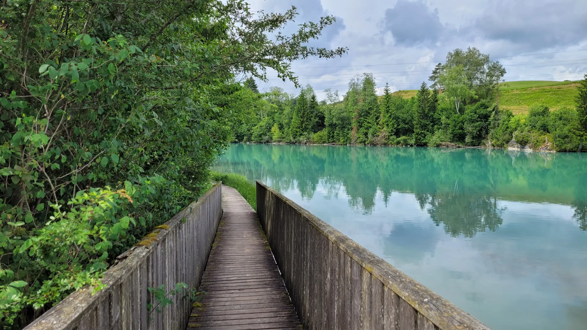
Great trail right along the shore
0
0
Great view of the mountains and the valley from here.
0
0
Frequently Asked Questions
What types of hiking trails can I find in the Allgäu region?
The Allgäu offers a wide variety of hiking experiences, from leisurely strolls through lush valleys and around clear lakes to challenging alpine ascents. You'll find trails through dense forests, across blooming meadows, and up dramatic rocky peaks. The region is also known for its impressive gorges and moorland areas.
Are there easy hiking trails suitable for beginners or families in the Allgäu?
Yes, the Allgäu has numerous easy and family-friendly trails. Out of over 12,800 routes, more than 7,100 are classified as easy. For example, the Breitachklamm Loop Trail is an easy 4 km path through an impressive gorge, accessible even in winter. Many trails offer engaging paths and refreshment stops at alpine huts.
Where can I find hikes that feature waterfalls or gorges in the Allgäu?
The Allgäu is famous for its spectacular gorges and waterfalls. You can explore the Starzlachklamm circuit, which leads through a deep gorge with impressive rock formations. Another option is the hike to the Buchenegg waterfalls, offering a refreshing experience. The Breitachklamm and Eistobel gorge are also popular natural wonders with well-secured hiking paths.
Are there any circular hiking routes in the Allgäu?
Yes, the Allgäu features many excellent circular hiking routes. Popular options include the Oytal circuit from Oberstdorf, a moderate 11.4 km trail, and the Around the Großer Alpsee, an 11 km trail with varied lakeside scenery. For a more challenging option, consider the Sorgschrofen circuit.
What are some notable natural attractions or landmarks to see while hiking in the Allgäu?
The Allgäu is rich in natural beauty and landmarks. Hikers can enjoy stunning views of the Forggensee and the Alps, or the Alpsee and Hohenschwangau Castle. Significant peaks like Fellhorn Summit, Grünten Summit, and Nebelhorn summit offer panoramic vistas. The region also boasts picturesque lakes such as Lake Alpsee and Freibergsee.
What is the best time of year to go hiking in the Allgäu?
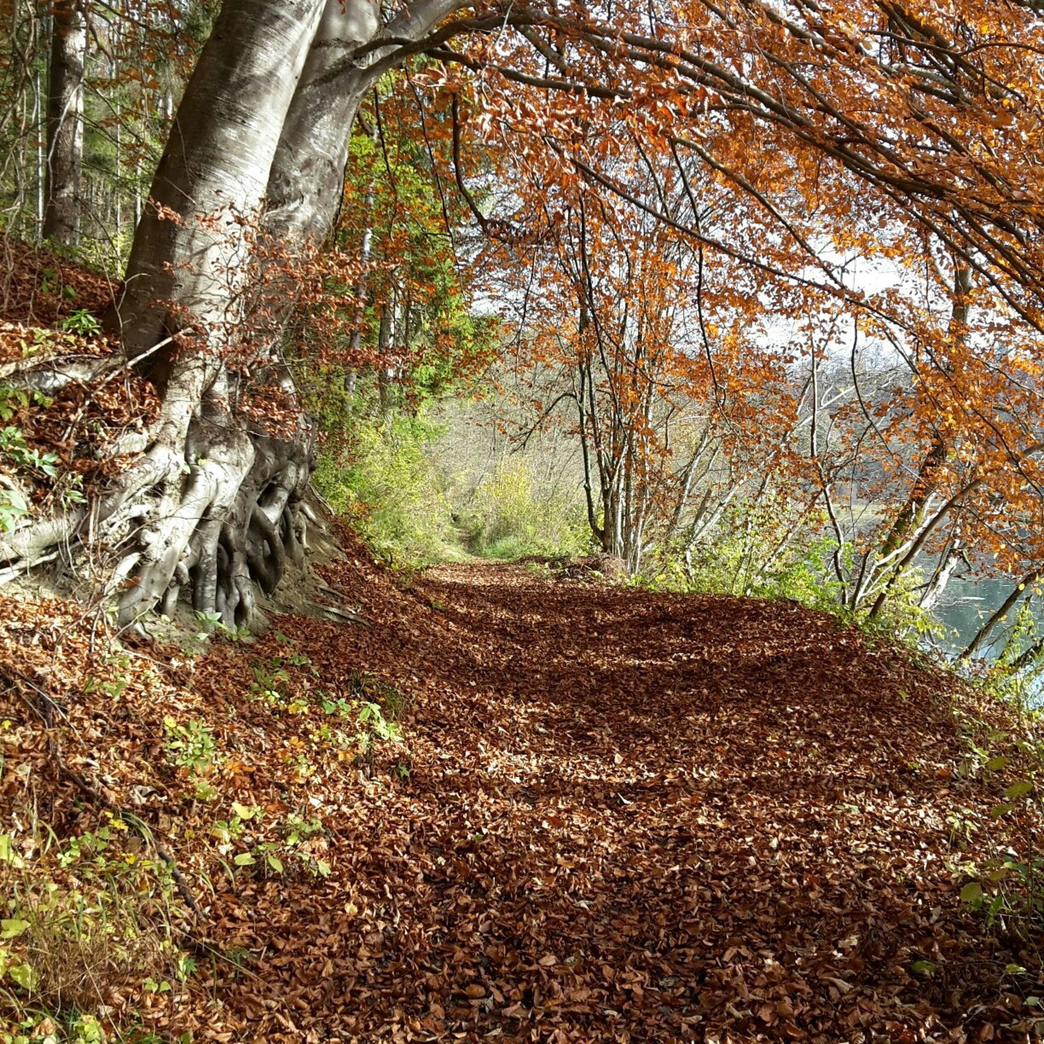
The Allgäu offers hiking opportunities throughout the year. Spring and summer bring blooming meadows and lush green landscapes, ideal for enjoying the lakes and valleys. Autumn provides stunning fall foliage, especially in the foothills. Even in winter, certain trails like the Breitachklamm are accessible, offering a unique experience with impressive ice formations.
Are there challenging hikes for experienced trekkers in the Allgäu?
Absolutely. The Allgäu, particularly the Upper and Eastern Allgäu, features alpine scenery with high peaks and demanding trails. Over 690 routes are classified as difficult. Examples include Up the Hahnenkopf, an 18 km route with significant elevation gain, and The Glide Path in Oytal, a challenging 22 km trek.
What do other hikers say about their experiences in the Allgäu?
The Allgäu is highly rated by the komoot community, with an average score of 4.5 stars from over 33,000 reviews. Hikers often praise the region's diverse terrain, from stunning alpine views to serene lakeside paths, and the well-maintained network of trails suitable for all abilities.
Can I find long-distance hiking trails in the Allgäu?
Yes, the Allgäu is home to the Allgäu Hiking Trilogy, an extensive network of long-distance trails covering over 876 kilometers. These routes cater to different preferences, from leisurely meadow walks to ambitious alpine explorations. An example of a stage is Allgäu Hiking Trilogy: Stage 39 Scheidegg-Lindenberg.
Is it possible to access hiking trails in the Allgäu using public transport?
Many areas in the Allgäu are well-connected by public transport, making it possible to reach various trailheads without a car. Regional buses and trains serve popular hiking destinations, especially in the more developed tourist areas. It's advisable to check local transport schedules for specific routes.
Are there opportunities for wild swimming near hiking trails in the Allgäu?
The Allgäu is dotted with numerous crystal-clear lakes and rivers. While specific regulations for wild swimming vary, many lakes like Alpsee, Forggensee, and Grüntensee offer designated swimming areas or opportunities for a refreshing dip after a hike. Schrecksee, a high-altitude alpine lake, is also famed for its stunning beauty, though reaching it involves a challenging hike.
Most popular routes in the Allgäu
Most popular attractions in the Allgäu

Get inspired with the komoot mobile app


Didn’t find what you were looking for?
Check out more Hikes throughout Allgäu below and find the perfect route in your destination.
Explore more
Browse the best Hikes in other regions.
