
The best road cycling routes around Clarksville
31
riders
8
rides
Road cycling around Clarksville offers diverse terrain characterized by wooded hills, river valleys, and dedicated paved paths. The city is situated along the Cumberland and Red Rivers, providing a mix of flat sections and gentle inclines. The mild climate generally allows for year-round cycling, making it an accessible destination for outdoor enthusiasts.
Best road cycling routes around Clarksville
- The most popular road cycling route is Roadbike loop from Thirsty Goat, a 26.0 miles (41.8 km) trail that takes 2…
Last updated: July 6, 2026
8
riders
55.4km
02:42
340m
340m
Moderate road ride. Good fitness required. Mostly well-paved surfaces and easy to ride.
3
riders
41.8km
02:00
370m
370m
Moderate road ride. Good fitness required. Mostly well-paved surfaces and easy to ride.

Sign up for free
3
riders
48.8km
02:15
310m
310m
Moderate road ride. Good fitness required. Mostly well-paved surfaces and easy to ride.
3
riders
40.6km
01:54
260m
260m
Easy road ride. Great for any fitness level. Mostly well-paved surfaces and easy to ride.
4
riders
43.8km
01:57
230m
230m
Easy road ride. Great for any fitness level. Mostly well-paved surfaces and easy to ride.
Get access to more routes and recommendations from other explorers.
Sign up for free
Already have an account?
Our route recommendations are based on thousands of hikes, rides, and runs completed by other people on komoot.
Start today with a free account
Your next adventure awaits.
Login or Signup
Popular around Clarksville
Frequently Asked Questions
How many road cycling routes are available in Clarksville?
Clarksville offers a good selection of road cycling routes. Our guide features 9 distinct routes, ranging from easy to moderate difficulty, allowing you to explore the region's diverse landscapes.
What is the best time of year for road cycling in Clarksville?
Clarksville's mild climate generally allows for year-round road cycling. Spring and fall offer particularly pleasant temperatures and beautiful scenery, with native wildflowers blooming and vibrant foliage. Even in winter, many routes remain accessible.
Are there any easy road cycling routes suitable for beginners or families?
Yes, Clarksville has several easy road cycling routes. For instance, the Roadbike loop from Village Terrace and the Roadbike loop from Clarksville High School are both rated as easy, offering enjoyable rides with less challenging elevation gains. The Clarksville Greenway is also a popular paved option for all skill levels.
Where can I find scenic views or interesting landmarks along the road cycling routes?
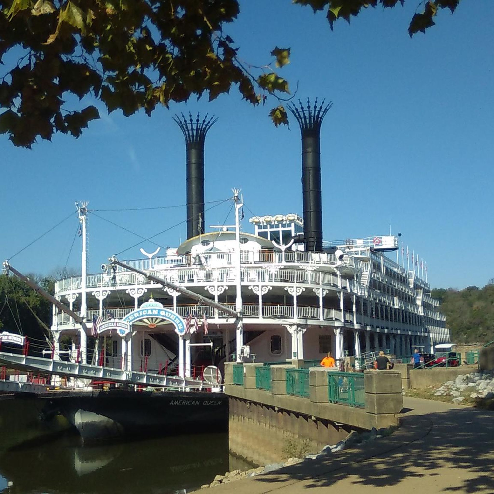
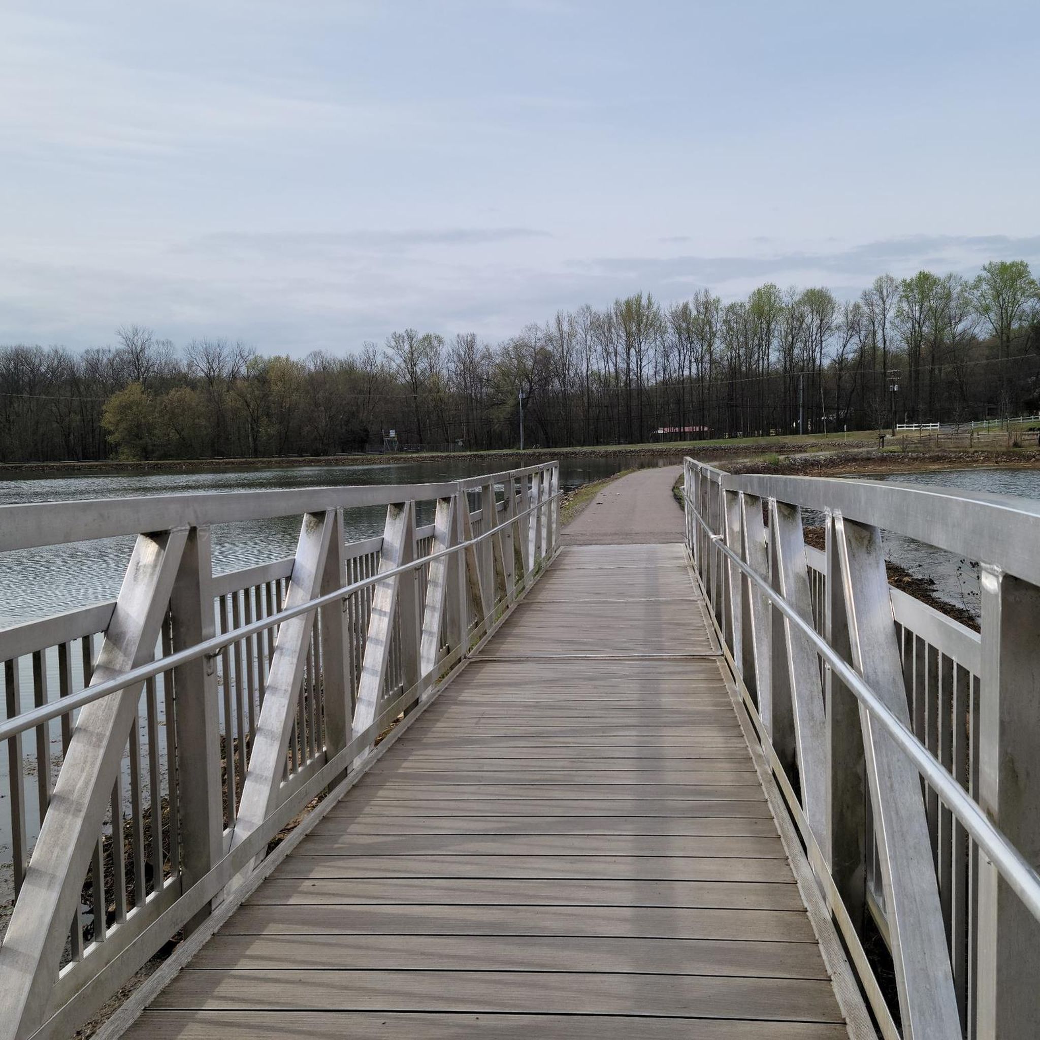
Many routes offer scenic views of Clarksville's natural beauty. The Rotary Park loop from Little Hope Cemetery takes you near Rotary Park, a forested area with natural beauty. The Clarksville Greenway, a dedicated paved trail, provides views of the Cumberland River, diverse forestry, creeks, bluffs, and features the Raymond C. Hand Pass pedestrian bridge. You can also explore the Cumberland Riverwalk for riverside views.
Are there any longer road cycling routes for experienced riders?
Yes, for more experienced riders looking for longer distances, routes like the Rotary Park loop from Little Hope Cemetery covers nearly 50 km with over 400 meters of elevation gain, offering a moderate challenge. The Roadbike loop from Thirsty Goat is another moderate option, spanning over 41 km.
What is the Clarksville Greenway and is it suitable for road biking?
The Clarksville Greenway is a prominent 9-mile paved trail built on a former railway. It is highly suitable for road biking, offering a scenic corridor with varied terrain, including some hilly and densely shaded sections. It provides views of the river, forestry, creeks, and bluffs. Access points are available at Heritage Park, Pollard Road, and Mary's Oak trailheads. For more details, you can visit the official Clarksville Greenway page: Clarksville Greenway.
Are there any specific parking options or trailheads for road cycling routes in Clarksville?
Yes, many routes start from accessible locations. For instance, the Roadbike loop from CLARKSVILLE EXIT 11 P&R begins near a Park & Ride, which often provides convenient parking. For the Clarksville Greenway, dedicated access points with parking include Heritage Park, Pollard Road, and Mary's Oak trailheads.
Can I find cafes or places to stop for refreshments along the road cycling routes?
While specific cafes directly on every route are not detailed, many routes start or pass through areas where local establishments are accessible. For example, the Roadbike loop from Thirsty Goat suggests a starting point that might offer refreshment options. Exploring downtown Clarksville or areas near the Greenway trailheads will likely provide choices for cafes and pubs.
What kind of elevation gain can I expect on Clarksville's road cycling routes?
The elevation gain varies across routes. Easy routes, such as the Roadbike loop from CLARKSVILLE EXIT 11 P&R, have around 215 meters of ascent. More moderate routes, like the Rotary Park loop from Little Hope Cemetery, can feature over 400 meters of climbing, offering a more challenging workout.
Are there any urban cycling paths or connections to downtown areas?
Yes, the Cumberland Riverwalk provides a 1.25-mile paved path along the river, offering scenic views and easy access to downtown Clarksville. Additionally, the Upland Trail is an urban trail that connects to the Riverwalk via a pedestrian overpass and skirts the historic downtown area, making it accessible for urban exploration on bike.
What other outdoor activities can I combine with road cycling in Clarksville?
Clarksville offers a wealth of outdoor activities. You can explore hiking trails at Dunbar Cave State Park or Rotary Park, enjoy water sports like kayaking or canoeing on the Cumberland River, or visit Liberty Park for walking trails and arboretum. King's Bluff also provides rock climbing opportunities with rewarding views.

Get inspired with the komoot mobile app


Explore more
Browse the best Road cycling routes in other regions.
