The best walks and hikes around Clarksville
5.0
(2)
57
hikers
11
hikes
Hiking around Clarksville offers diverse landscapes, from rolling hills and lush wooded areas to scenic waterways like the Cumberland and Red Rivers. The region features extensive trail systems, including paved greenways and natural paths through parks. Hikers can explore areas characterized by river bluffs, mature tree canopies, and varied terrain suitable for different activity levels.
Best hiking trails around Clarksville
- The most popular hiking route is Clarksville Greenway, a 9.4 miles (15.1 km) moderate trail that takes 3 hours…
Last updated: June 25, 2026
6
hikers
6.54km
01:40
20m
20m
Embark on the easy Liberty Park Loop, a pleasant hike spanning 4.1 miles (6.5 km) with a gentle elevation gain of just 61 feet (18 metres). You can comfortably complete…
8.74km
02:17
50m
100m
Hike the moderate Clarksville Greenway, a 5.4-mile route along creeks and the Red River, featuring a scenic bridge and wildlife sightings.

Sign up for free
3.15km
00:49
20m
20m
Enjoy an easy 2.0-mile hike along the paved Cumberland Riverwalk in Clarksville, offering scenic river views and historical markers.
5.0
(1)
5
hikers
15.1km
03:57
120m
120m
Hike the 9.4-mile Clarksville Greenway, a moderate, paved trail along the Red River with scenic views and varied terrain.
2.53km
00:41
30m
30m
Hike the easy 1.6-mile Upland Trail in Clarksville's McGregor Park, gaining 95 feet over 40 minutes, perfect for a quick outdoor escape.
Get access to more routes and recommendations from other explorers.
Sign up for free
Already have an account?
Our route recommendations are based on thousands of hikes, rides, and runs completed by other people on komoot.
Start today with a free account
Your next adventure awaits.
Login or Signup
Popular around Clarksville

Tips from the Community

An urban walking path connecting the Riverwalk to an overlook bridge. It passes by historical buildings and utilizes a former railroad bridge. It provides a connection to the city's downtown area and offers views of the surrounding environment.
0
0
The facility offers both indoor and outdoor areas, including a spacious patio overlooking the Cumberland River. It is a popular choice for weddings, receptions, and other events due to its scenic views and modern amenities. The interior features high ceilings, large windows, and a warm atmosphere.
0
0
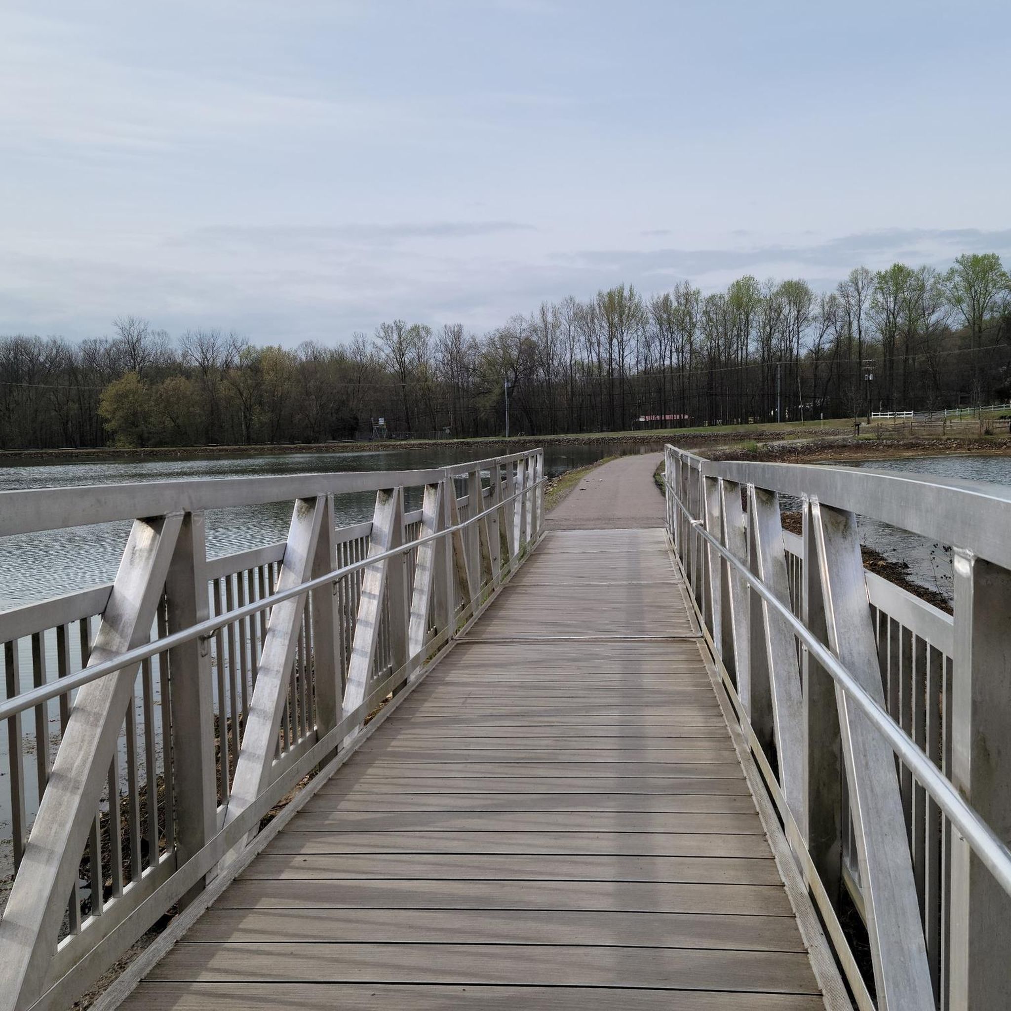
This path runs along the Red River, providing great views of the water. Benches and restrooms are located at various points along the greenway. The path is shared with cyclists and pedestrians, so be mindful of your surroundings.
0
0

Built on an abandoned railway, Clarksville Greenway is a 9-mile rail trail in North Clarksville. It is fully paved and is mostly flat, so it is a great place for a long run.
1
0

The trails at North Ford Street Mountain Bike Trail Park are bike-specific trails and were built with intermediate riders in mind. Some trails are narrow, rocky, rooty, and have man-made trail obstacles. There are lots of well-marked trails that will challenge almost any rider.
0
0
Frequently Asked Questions
How many hiking trails are available in Clarksville?
Clarksville offers a diverse network of over 10 hiking routes, ranging from easy strolls to more moderate paths. You'll find a variety of landscapes, including riverfront promenades and wooded park trails.
What is the best time of year to go hiking in Clarksville?
Clarksville's relatively mild climate makes hiking enjoyable year-round. Spring and fall offer particularly pleasant temperatures and vibrant scenery, but many trails are accessible and beautiful even in winter.
Are there family-friendly hiking options in Clarksville?
Yes, Clarksville has several excellent options for families. The Liberty Park Loop is an easy, paved 4.1-mile path perfect for a leisurely family walk. The Cumberland Riverwalk also offers a scenic, accessible promenade along the river.
Can I bring my dog on the hiking trails in Clarksville?
Many of Clarksville's outdoor spaces, including the extensive Clarksville Greenway and Rotary Park, are dog-friendly, provided pets are kept on a leash. Always check specific park regulations before you go.
Are there any trails suitable for beginners or those looking for an easy walk?
Absolutely. Clarksville features 7 easy routes, including the paved Liberty Park Loop and the scenic Cumberland Riverwalk. These trails offer gentle terrain and are perfect for a relaxed outdoor experience.
What kind of natural features or landmarks can I expect to see on Clarksville's trails?
Clarksville's trails showcase diverse natural beauty. You can explore bluff walls and river views along the Clarksville Greenway, discover historic cave art at Dunbar Cave State Park, or enjoy the lush woodlands and wildflowers of Rotary Park. The Cumberland and Red Rivers are prominent features throughout the region.
Are there any trails that are wheelchair accessible in Clarksville?
The Clarksville Greenway offers extensive paved sections that are wheelchair-friendly, providing access to scenic river views and natural surroundings. The Cumberland Riverwalk is also a paved, accessible promenade.
What do other hikers enjoy most about hiking in Clarksville?
The area is highly rated by the komoot community, with an average score of 5.0 stars. Hikers often praise the diverse landscapes, from tranquil riverfront paths to challenging wooded trails, and the accessibility of the trail systems.
Are there any circular hiking routes in Clarksville?
Yes, many of Clarksville's parks offer circular routes. For instance, the Liberty Park Loop is a well-maintained circular path within Liberty Park, ideal for a complete walk without retracing your steps.
Where can I find parking for hiking trails in Clarksville?
Most major parks and trailheads in Clarksville, such as Dunbar Cave State Park, Clarksville Greenway, and Liberty Park, offer dedicated parking facilities. It's always a good idea to check the specific park's website or komoot tour details for exact parking locations.
Are there any trails that offer scenic viewpoints or river access?
Absolutely. The Clarksville Greenway follows the Red River and West Fork Creek, featuring a 600-foot pedestrian bridge with scenic overlooks. The Cumberland Riverwalk provides direct access and beautiful views of the Cumberland River, perfect for enjoying sunsets.
What should I bring for a hike in Clarksville?
For most trails in Clarksville, comfortable walking shoes, water, and sun protection are recommended. If you're exploring wooded areas like Rotary Park, insect repellent might also be useful. Always check the weather forecast before heading out.

Get inspired with the komoot mobile app


Explore more
Browse the best Hikes in other regions.
