The best gravel rides around Géovreisset
4.0
(2)
16
riders
2
rides
Gravel biking around Géovreisset offers routes through the varied terrain of the Ain department in France. The region is characterized by its proximity to the Jura mountains, featuring a mix of forested hills, river valleys, and scenic lakes such as Lac de Nantua and Lac de Genin. Gravel trails often follow paths around these water bodies, providing diverse riding surfaces. Elevation changes are common, with routes including significant climbs and descents across rolling hills and plains.
Best gravel bike trails…
Last updated: July 5, 2026
9
riders
134km
10:21
3,050m
3,050m
Hard gravel ride. Very good fitness required. Mostly paved surfaces. Suitable for all skill levels.
5.0
(1)
2
riders
30.8km
02:14
760m
760m
Hard gravel ride. Very good fitness required. Mostly paved surfaces. Suitable for all skill levels.

Sign up for free
4
riders
43.9km
03:10
980m
980m
Hard gravel ride. Very good fitness required. Mostly paved surfaces. Suitable for all skill levels.
2
riders
40.7km
02:52
770m
770m
Hard gravel ride. Very good fitness required. Mostly paved surfaces. Suitable for all skill levels.
Our route recommendations are based on thousands of hikes, rides, and runs completed by other people on komoot.
Start today with a free account
Your next adventure awaits.
Login or Signup
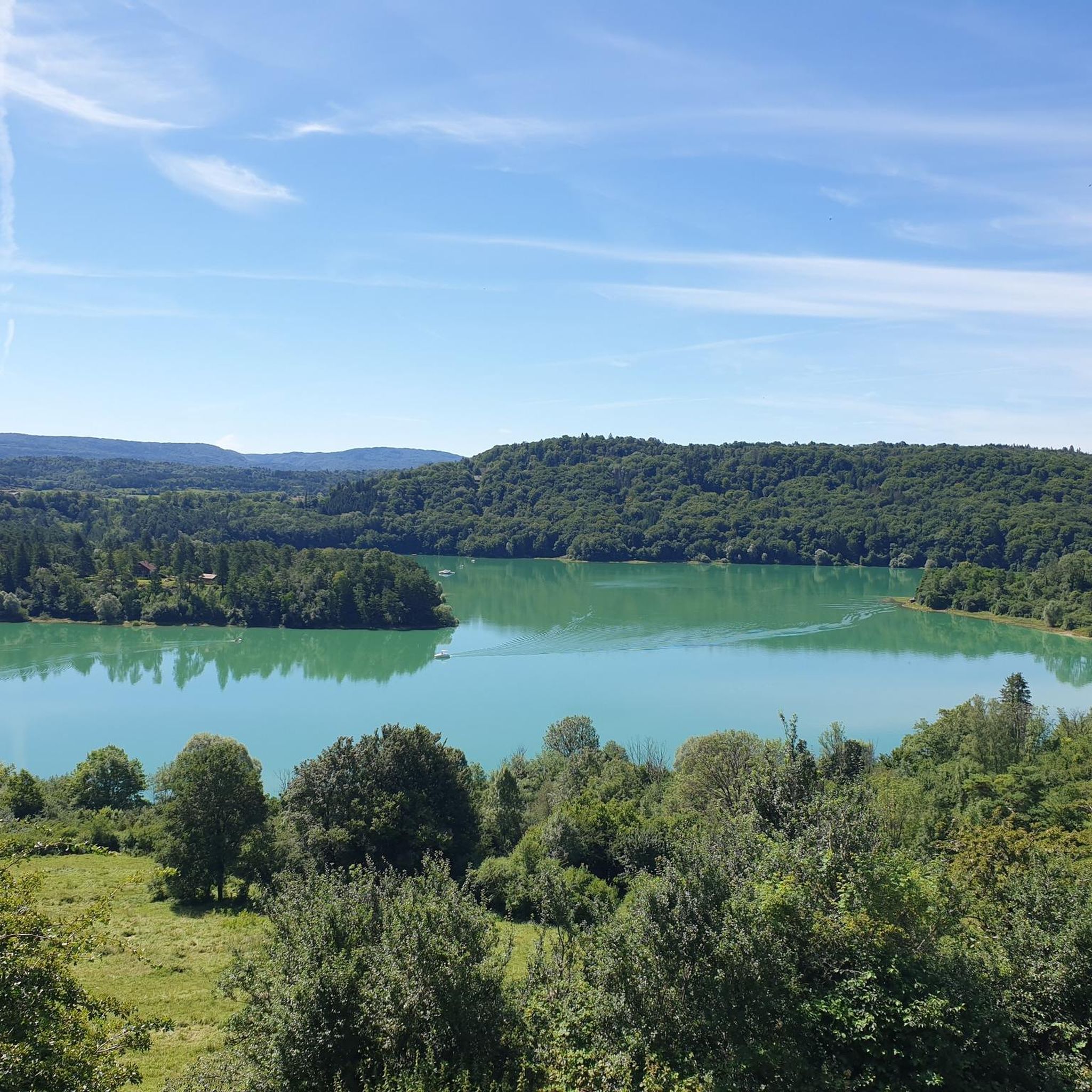
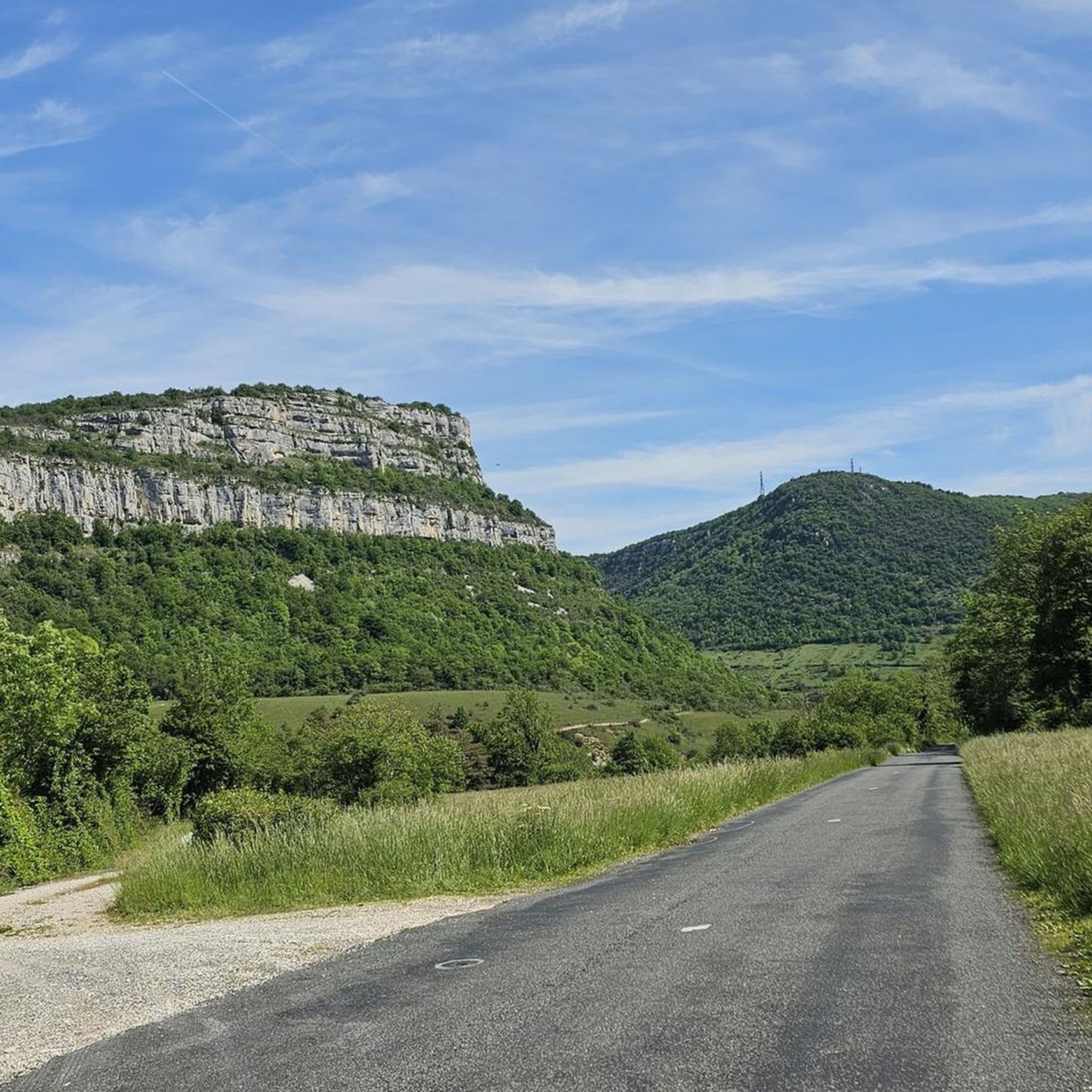
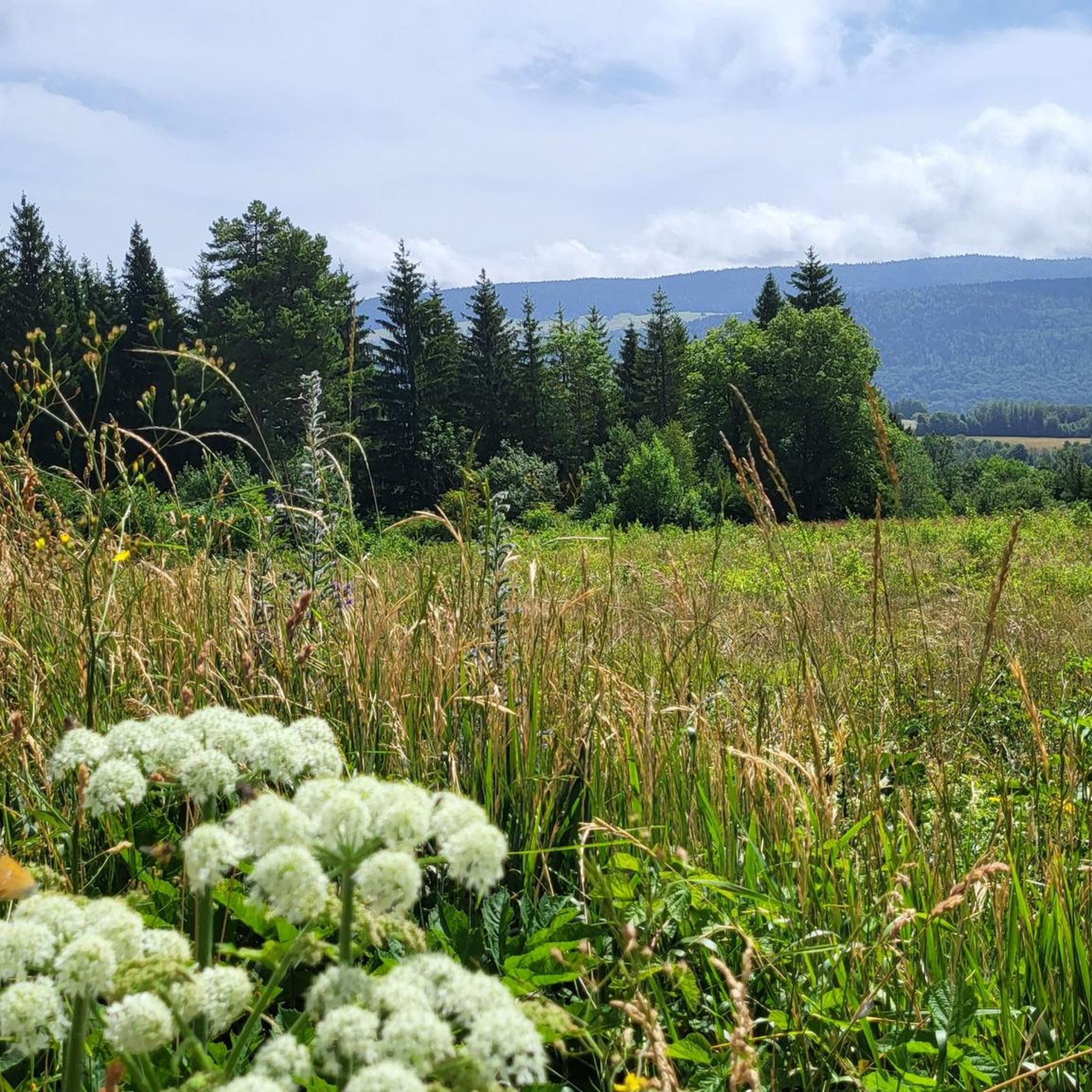
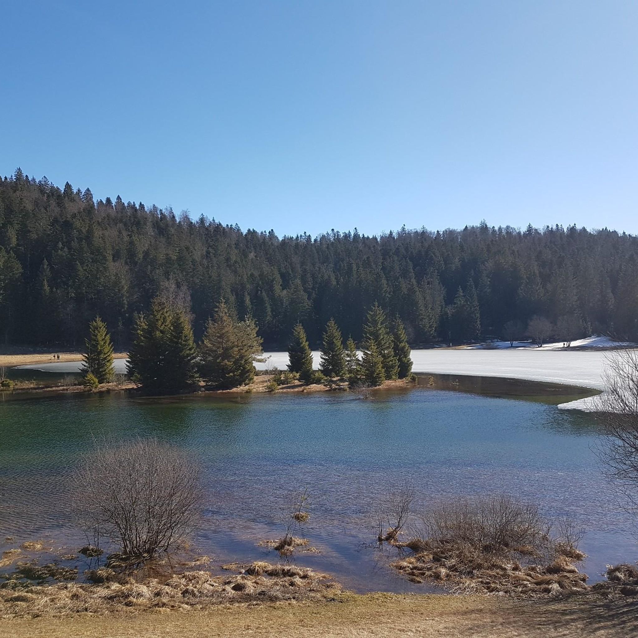
Tips from the Community

The Lac de Nantua is a superb body of water of 141 hectares. In the heart of the Jura, it offers an ideal setting for practicing a multitude of sports. It is even possible to swim in its waters.
1
0

Pretty little lake in the heart of the small Jura mountains
0
0

Beautiful, simple, easy walk; lots of traffic noise on the "road" section, a bit of a shame, but the color of the water is magical
1
0

beautiful pass, quite rolling especially through St Germain de Joux, a little tougher on the Saint Claude side. lots of writing on the ground since the Tour de France passed through.
0
0

The Col de Bérentin connects the Valserine Valley to the Retord Plateau, passing through the beautiful Jura forests. Its ascent is gradual and the road is little traveled.
0
0


Unfortunately I was unlucky with the weather, but even as I drove past the place looked very nice, lots of grass and a place to swim.
0
0

A stronghold of resistance and an ancient milestone on the Sardinian road that led to the Netherlands in the 17th century. A very beautiful view of the Jura Mountains, too.
0
0
Frequently Asked Questions
How many gravel bike trails are available around Géovreisset?
There are 7 gravel bike routes available around Géovreisset. These trails offer a variety of experiences through the region's diverse landscapes.
What is the general difficulty level of gravel biking in Géovreisset?
Gravel biking around Géovreisset is generally challenging, with 6 out of 7 routes rated as difficult. These trails often feature significant elevation changes and varied terrain, characteristic of the Jura mountains' foothills. There is one moderate route available for those seeking a slightly less strenuous ride.
Are there any beginner-friendly gravel bike routes in Géovreisset?
While there are no routes specifically rated as 'easy' in our current selection, the region does offer a moderate option. Most trails around Géovreisset are rated as difficult due to elevation changes, so beginners should be prepared for a challenge or consider shorter sections of longer routes.
Where can I find more challenging gravel bike routes for advanced riders?
For advanced riders seeking a challenge, Géovreisset offers several difficult routes. Consider the View of Lac de Coiselet – Along Lake Coiselet loop from Condes, which features over 1,100 meters of elevation gain over 68 kilometers. Another demanding option is the Cize Viaduct – Ain Valley loop from Matafelon-Granges, a 61-kilometer route with significant climbs.
Are there any loop trails for gravel biking in Géovreisset?
Yes, many of the gravel bike routes around Géovreisset are designed as loops, allowing you to start and finish at the same point. Examples include the popular Lake Nantua – Lac de Nantua loop from Brion - Montréal-la-Cluse and the Lake Genin – Lake Genin loop from Oyonnax.
What natural attractions can I see while gravel biking around Géovreisset?
The gravel trails often pass by stunning natural features. You can explore areas around Lake Nantua, Lake Genin, and Lake Coiselet. Some routes may also bring you close to the Grotte de Corveissiat or the picturesque Cascade de la Pisse Vache.
Are there any historical or cultural points of interest along the trails?
While the focus is on natural landscapes, some routes offer glimpses of historical sites. For instance, you might pass near the Oliferne Castle Ruins, offering a touch of history amidst the scenic rides.
What do other gravel bikers enjoy the most about gravel biking in Géovreisset?
The area is highly rated by the komoot community, with an average score of 4.5 stars from 5 reviews. Reviewers often praise the diverse terrain, including forested hills and river valleys, as well as the scenic lake views, particularly around Lac de Nantua and Lac de Genin.
What is the best season for gravel biking around Géovreisset?
The region's varied terrain, including forested areas and lakes, makes spring and autumn particularly appealing for gravel biking. During these seasons, the temperatures are generally milder, and the natural scenery is vibrant with changing colors. Summer can also be enjoyable, especially for routes that offer shade or opportunities to cool off near water bodies.
Are there options for long-distance gravel cycling in Géovreisset?
Yes, Géovreisset offers several routes suitable for longer gravel cycling adventures. The View of Lac de Coiselet – Along Lake Coiselet loop from Condes is over 68 kilometers long, and the Lake Genin – Lake Nantua loop from Nurieux-Volognat covers over 61 kilometers, providing ample distance for extended rides.
Can I find cafes or pubs along the gravel bike routes in Géovreisset?
While specific cafes and pubs are not detailed for every route, the trails often pass through or near small towns and villages in the Ain department. These locations typically offer opportunities to find refreshments, especially in larger settlements like Oyonnax or around popular spots like Lac de Nantua. Planning your route with potential stops in mind is recommended.
Most popular routes around Géovreisset
Most popular attractions around Géovreisset

Get inspired with the komoot mobile app


Explore more
Browse the best Gravel rides in other regions.
