The best cycling routes around Géovreisset
4.3
(177)
2,331
riders
170
rides
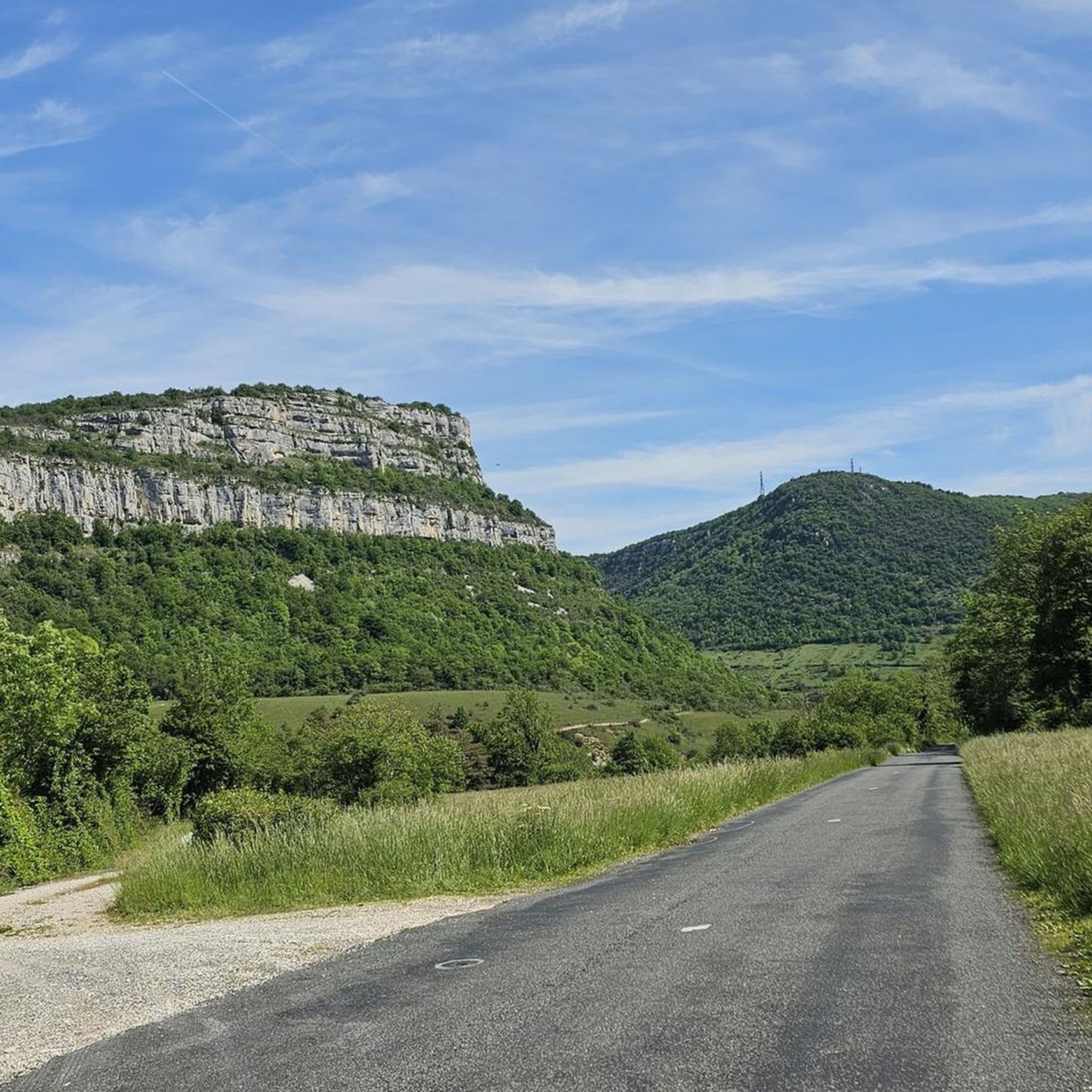
Touring cycling routes around Géovreisset are situated within the Ain department, offering diverse landscapes in the Jura Mountains territory. The region features sub-alpine ranges, limestone formations, dense forests, and picturesque valleys, providing varied terrain for cyclists. Notable natural features include Lac Genin and Lac de Nantua, framed by dramatic cliffs. The area's topography includes both challenging ascents and more gentle routes through plains and charming villages.
Best touring cycling routes around Géovreisset
- The most popular touring cycling route is Loop…
Last updated: June 28, 2026
3.0
(1)
33
riders
43.8km
02:58
660m
660m
Hard bike ride. Very good fitness required. Mostly paved surfaces. Suitable for all skill levels.
15
riders
54.1km
04:03
1,280m
1,280m
Hard bike ride. Very good fitness required. Mostly paved surfaces. Suitable for all skill levels.

Sign up for free
4.1
(7)
141
riders
38.5km
02:23
190m
190m
Moderate bike ride. Good fitness required. Mostly paved surfaces. Suitable for all skill levels.
4.8
(5)
43
riders
46.7km
03:18
790m
790m
Hard bike ride. Very good fitness required. Mostly paved surfaces. Suitable for all skill levels.
5.0
(1)
49
riders
62.9km
03:49
410m
410m
Moderate bike ride. Good fitness required. Mostly paved surfaces. Suitable for all skill levels.
Get access to more routes and recommendations from other explorers.
Sign up for free
Already have an account?
Our route recommendations are based on thousands of hikes, rides, and runs completed by other people on komoot.
Start today with a free account
Your next adventure awaits.
Login or Signup

Tips from the Community

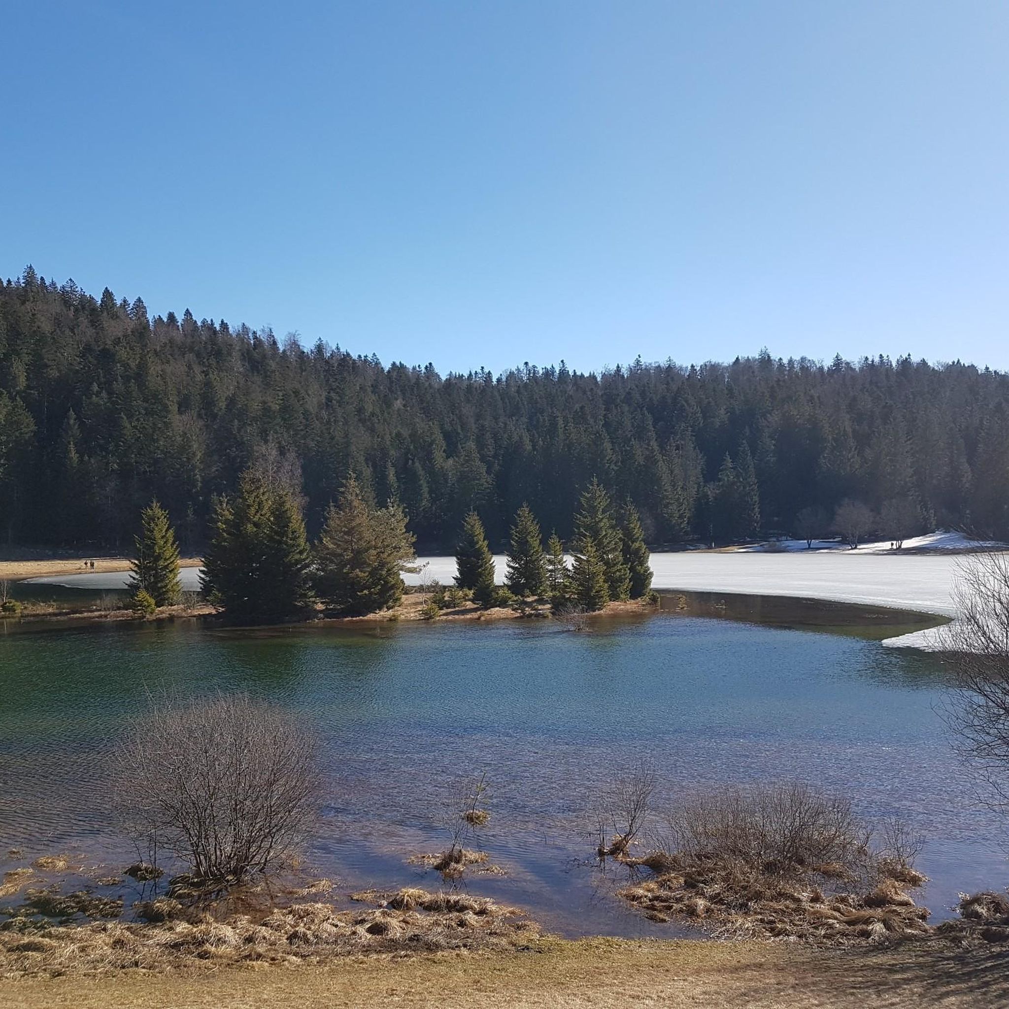
The Lac de Nantua is a superb body of water of 141 hectares. In the heart of the Jura, it offers an ideal setting for practicing a multitude of sports. It is even possible to swim in its waters.
1
0

Beautiful, simple, easy walk; lots of traffic noise on the "road" section, a bit of a shame, but the color of the water is magical
1
0


Unfortunately I was unlucky with the weather, but even as I drove past the place looked very nice, lots of grass and a place to swim.
0
0
There are a few shops right next to the bridge over the Ain and also in the town itself.
0
0

Small pass between Ain and Oignin. Beautiful church in the village, the hotel looked rather closed.
3
0
Beautiful view of the lake at Matafelon.
3
0
Frequently Asked Questions
How many touring cycling routes are available around Géovreisset?
There are over 170 touring cycling routes around Géovreisset, offering a wide range of options for cyclists. These routes are part of the extensive "Ain à Vélo" network, which boasts 1,100 km of signposted routes across the Ain department.
What kind of terrain can I expect on touring cycling routes near Géovreisset?
The terrain around Géovreisset is highly diverse, characterized by the Jura Mountains. You can expect sub-alpine ranges, limestone formations, dense forests, and picturesque valleys. This means routes can range from challenging ascents with significant elevation gains, like those found in the Bugey region, to more gentle rides through plains and charming villages.
Are there any easy touring cycling routes suitable for beginners or families?
While many routes in the region are considered difficult, there are options for easier rides. The "Ain à Vélo" network includes routes suitable for leisurely family rides. For example, the Lake Nantua – Lac de Nantua loop from Oyonnax is a moderate route that offers scenic views without extreme elevation changes, making it a good choice for those seeking a less strenuous experience.
What natural attractions can I see along the touring cycling routes?
The region is rich in natural beauty. You can encounter stunning features such as Lake Nantua, known for its dramatic limestone cliffs and changing water colors, and Lake Genin, often called "the little Canada of Haut-Bugey." Some routes also pass by the Cascade de la Pisse Vache, a beautiful waterfall, and offer views from points like Chancia Viewpoint.
Are there any challenging touring cycling routes for experienced cyclists?
Absolutely. The area is renowned for its challenging routes, particularly those in the Bugey region. The Lakes of Haut-Bugey Loop is a difficult 54.1 km path with significant elevation changes. For a truly formidable challenge, the nearby Grand Colombier pass, frequently featured in the Tour de France, offers ascents with gradients up to 14% and panoramic views of the Rhône River and the Alps.
What do other touring cyclists enjoy most about cycling in Géovreisset?
The touring cycling routes around Géovreisset are highly rated by the komoot community, with an average score of 4.3 stars from over 170 reviews. Cyclists frequently praise the diverse landscapes, from sub-alpine ranges and dense forests to picturesque lakes, and the variety of routes catering to different skill levels.
Are there circular touring cycling routes available?
Yes, many of the touring cycling routes around Géovreisset are designed as loops, allowing you to start and finish at the same point. Examples include the popular Loop 16: Tour of Lac de Coiselet and the Lake Genin – Lac de Nantua loop from Oyonnax, which offer varied distances and difficulties.
What is the best season for touring cycling in the Géovreisset area?
The best time to cycle in the Géovreisset area, particularly in the Jura Mountains, is typically from spring through autumn. During these seasons, the weather is generally more favorable, and the natural landscapes are at their most vibrant. Summer offers warmer temperatures, while spring and autumn provide cooler rides and beautiful foliage.
Can I find cafes or accommodation along the touring cycling routes?
While specific cafes or accommodations are not detailed for every route, the region's extensive cycling network, including the "Ain à Vélo" routes, often passes through charming villages. These villages are good places to find local amenities, including cafes for refreshments and various accommodation options catering to visitors.
Is public transport available for cyclists with bikes in the Ain department?
The Ain department, where Géovreisset is located, is generally supportive of cycling tourism. While specific public transport options for bikes can vary, it's advisable to check local transport services for their policies on carrying bicycles. For detailed information on cycling infrastructure and transport in the wider Ain department, you can visit Ain à Vélo.
Are there car-free cycling days on challenging climbs like the Grand Colombier?
Yes, for those looking to experience iconic climbs without vehicular traffic, car-free cycling days are occasionally organized on the Grand Colombier. These special events allow cyclists to conquer this formidable pass in a unique and focused environment. For more information on these events, it's recommended to check local tourism resources like Bugey Sud Tourisme.
Most popular routes around Géovreisset
Most popular attractions around Géovreisset

Get inspired with the komoot mobile app


Explore more
Browse the best Cycling routes in other regions.
