The best running trails around Géovreisset
4.5
(59)
2,971
runners
203
runs
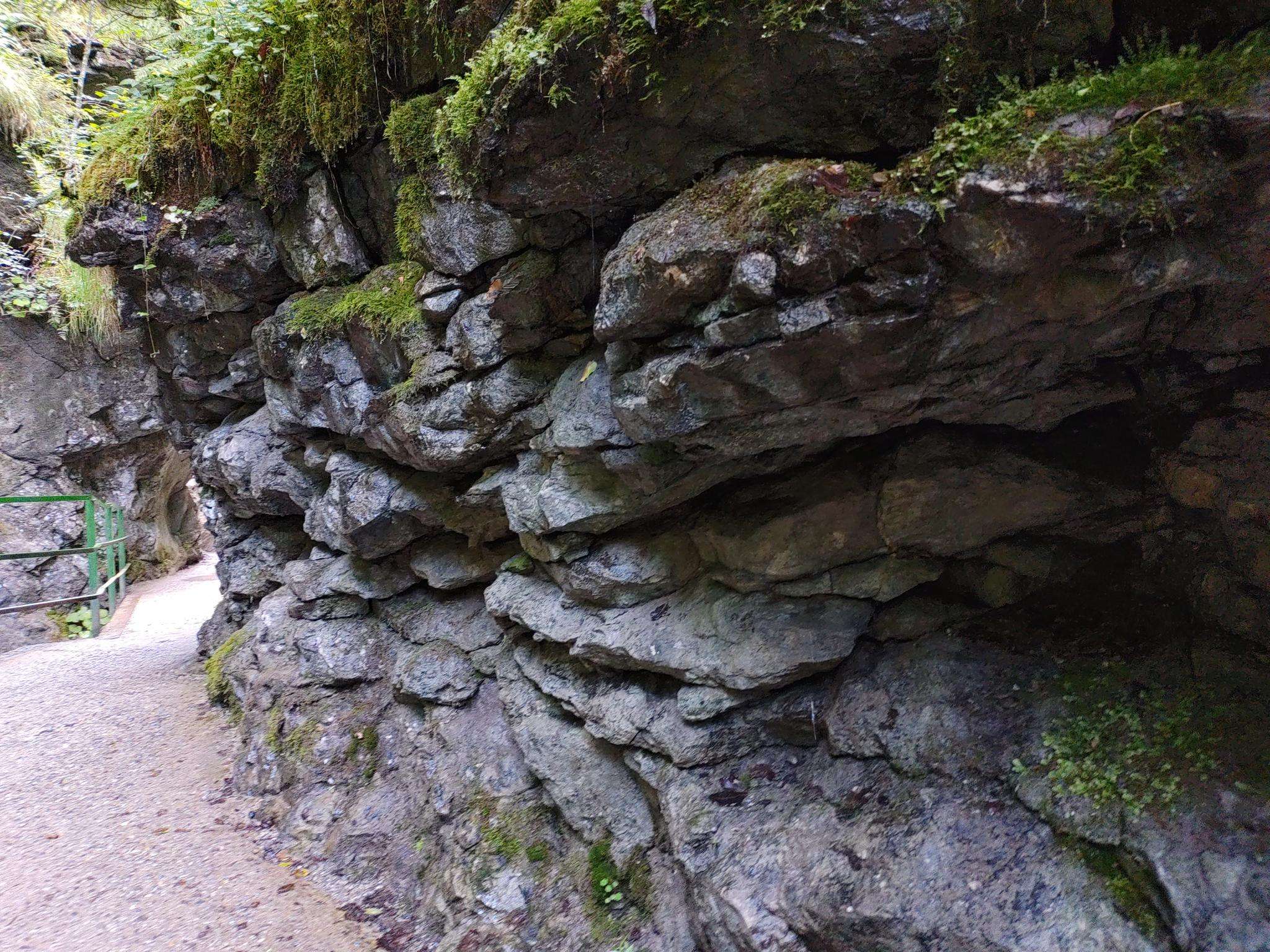
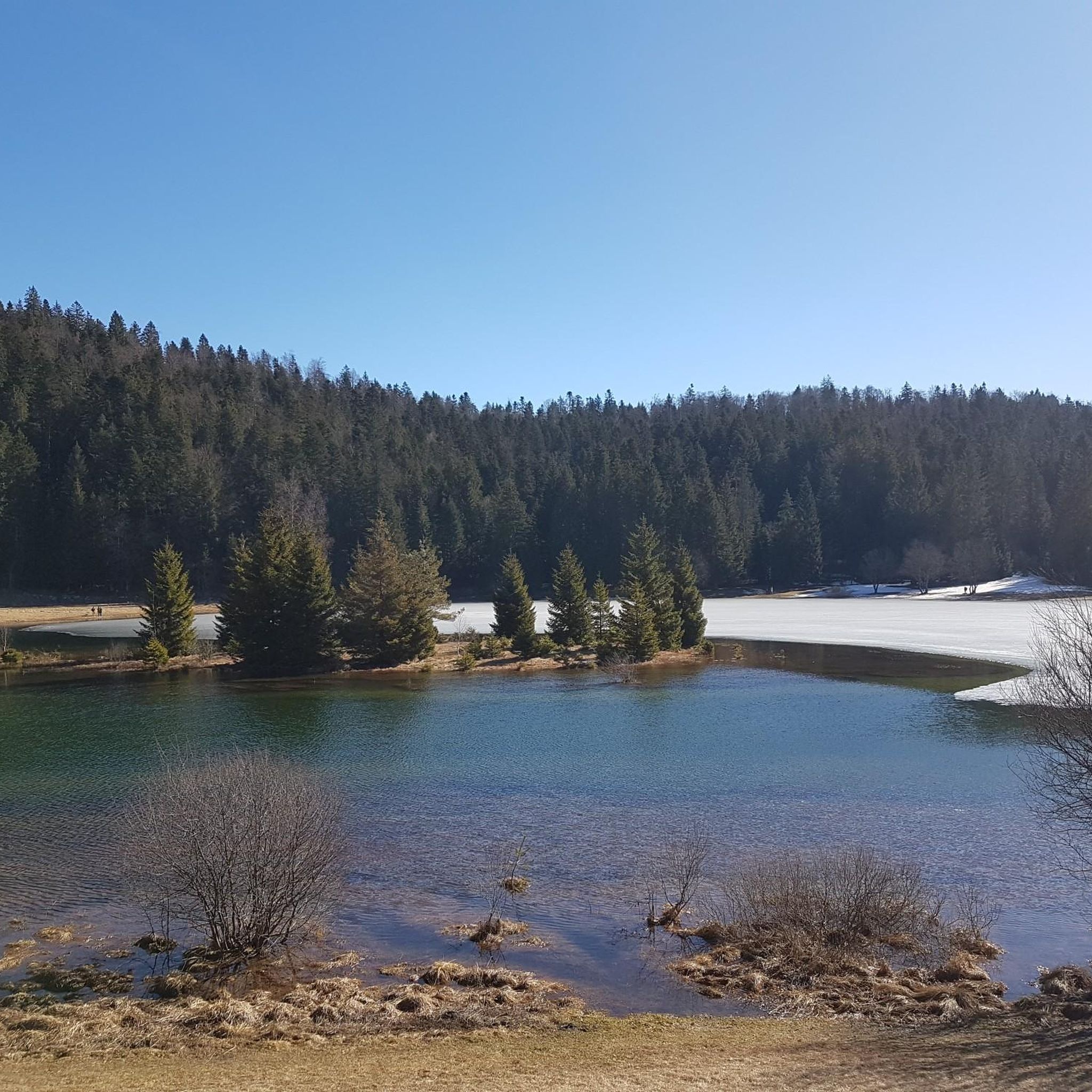
Jogging around Géovreisset offers varied terrain within the Ain department of the Auvergne-Rhône-Alps region. The area is characterized by its position in the foothills of the Jura mountains, with altitudes ranging from 567 to 754 meters. This diverse environment provides a mix of hilly and forested areas, suitable for different levels of running. The natural features of the region include woodlands and elevated sections, contributing to a dynamic running experience.
Best jogging routes around Géovreisset
- The most popular jogging route…
Last updated: June 27, 2026
5.0
(1)
15
runners
8.25km
00:59
140m
140m
Moderate run. Good fitness required. Mostly paved surfaces. Suitable for all skill levels.
13
runners
8.34km
00:52
30m
30m
Moderate run. Good fitness required. Mostly paved surfaces. Suitable for all skill levels.

Sign up for free
12
runners
11.2km
01:20
220m
220m
Moderate run. Good fitness required. Mostly paved surfaces. Suitable for all skill levels.
11
runners
22.9km
02:53
580m
580m
Hard run. Very good fitness required. Mostly paved surfaces. Suitable for all skill levels.
21
runners
30.2km
03:48
660m
650m
Hard run. Very good fitness required. Mostly paved surfaces. Suitable for all skill levels.
Get access to more routes and recommendations from other explorers.
Sign up for free
Already have an account?
Our route recommendations are based on thousands of hikes, rides, and runs completed by other people on komoot.
Start today with a free account
Your next adventure awaits.
Login or Signup

Frequently Asked Questions
How many running routes are available in Géovreisset?
There are over 180 running routes around Géovreisset, offering a wide variety of options for different preferences and fitness levels. The komoot community has explored these trails more than 2,800 times.
What kind of terrain can I expect when jogging in Géovreisset?
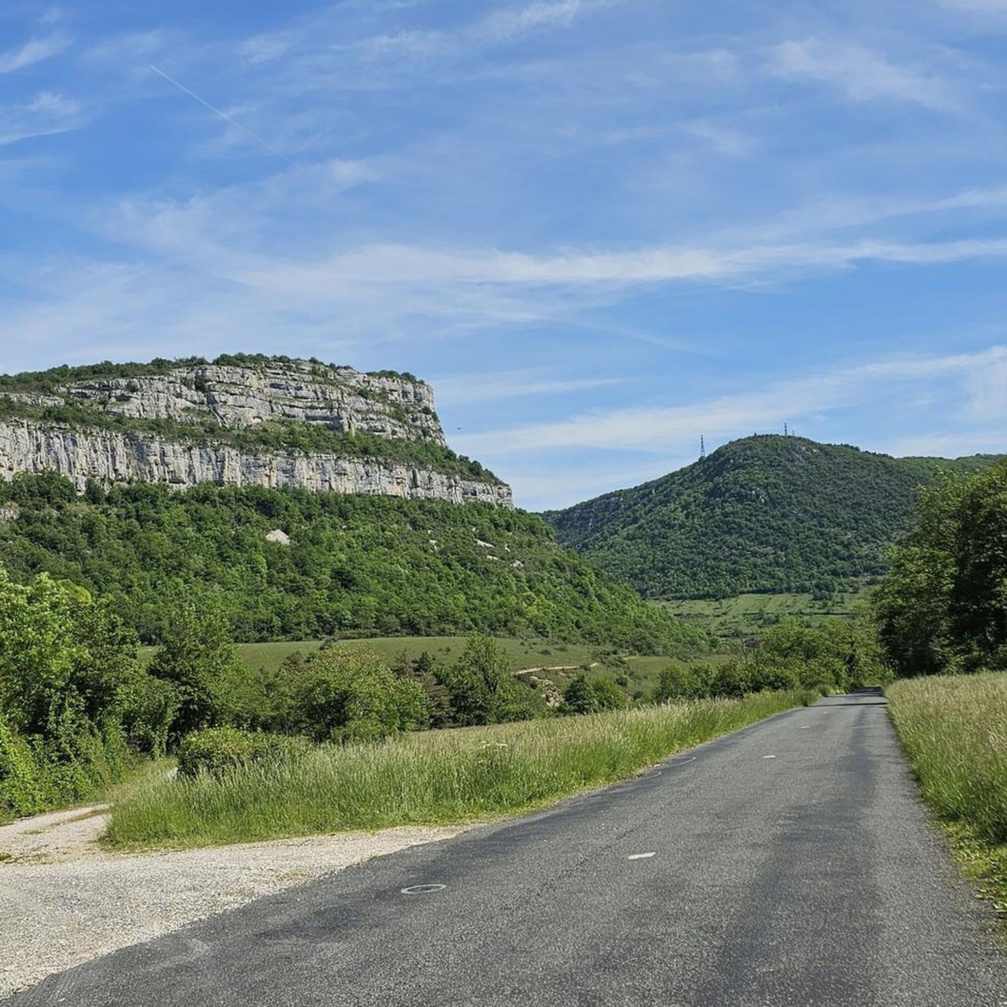
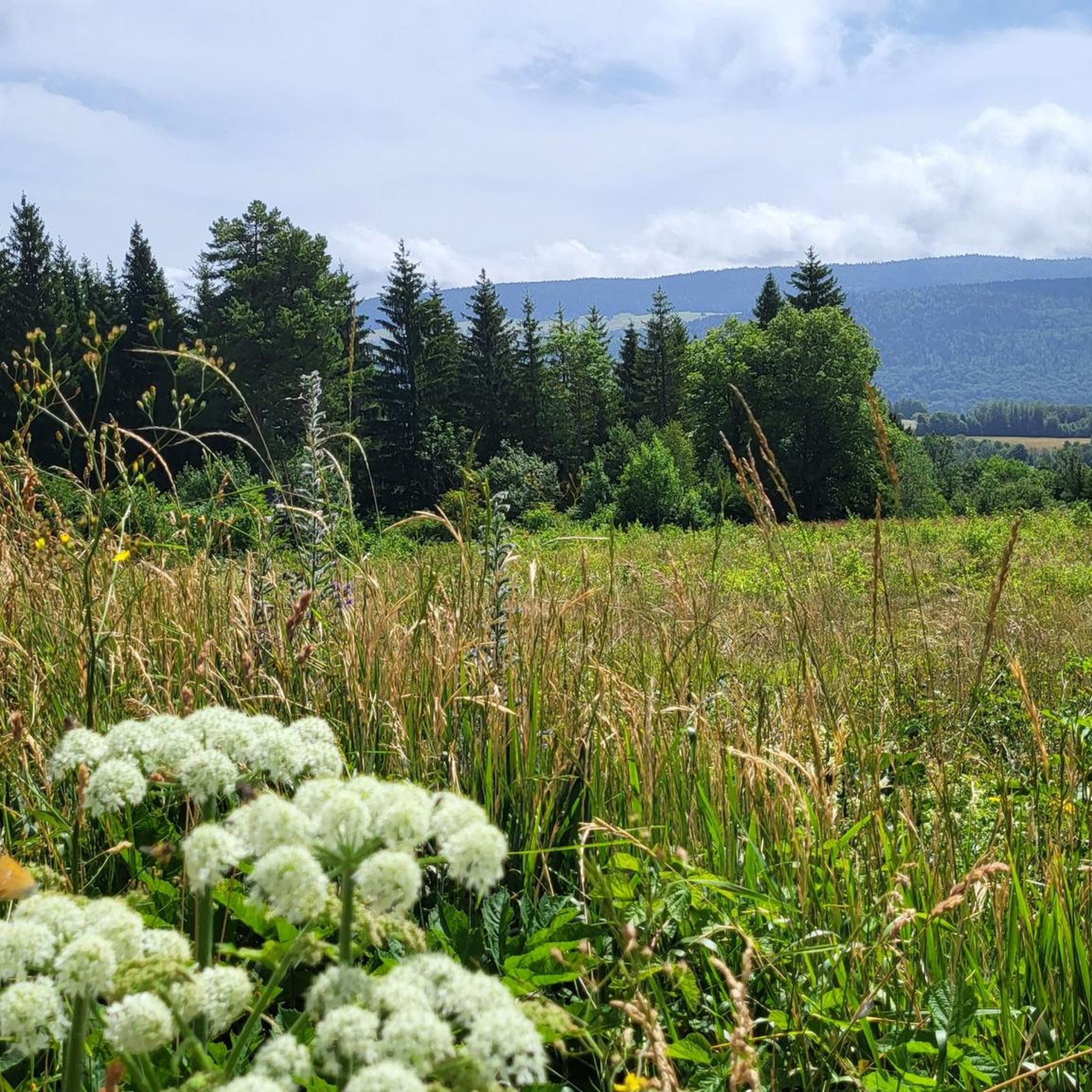
Jogging in Géovreisset offers a diverse experience, characterized by its position in the foothills of the Jura mountains. You can expect a mix of hilly and forested areas, with altitudes ranging from 567 to 754 meters. This varied landscape provides dynamic running conditions, from moderate ascents to relatively flat sections.
Are there easy running paths suitable for beginners in Géovreisset?
Yes, Géovreisset offers 17 easy running routes perfect for beginners or those looking for a less strenuous run. These paths typically have gentler gradients and are ideal for enjoying the natural surroundings at a comfortable pace.
Can I find challenging routes for experienced runners in Géovreisset?
Absolutely. For experienced runners seeking a challenge, there are 56 difficult routes in Géovreisset. These trails often feature significant elevation changes and longer distances, such as the Château de Coiselet loop from Géovreisset, which covers over 23 km with substantial climbs.
What do other runners think about the trails in Géovreisset?
The running routes in Géovreisset are highly rated by the komoot community, with an average score of 4.4 stars from more than 50 reviews. Runners often praise the varied terrain, scenic views, and the opportunity to explore the Jura foothills.
Are there any scenic viewpoints along the jogging routes in Géovreisset?
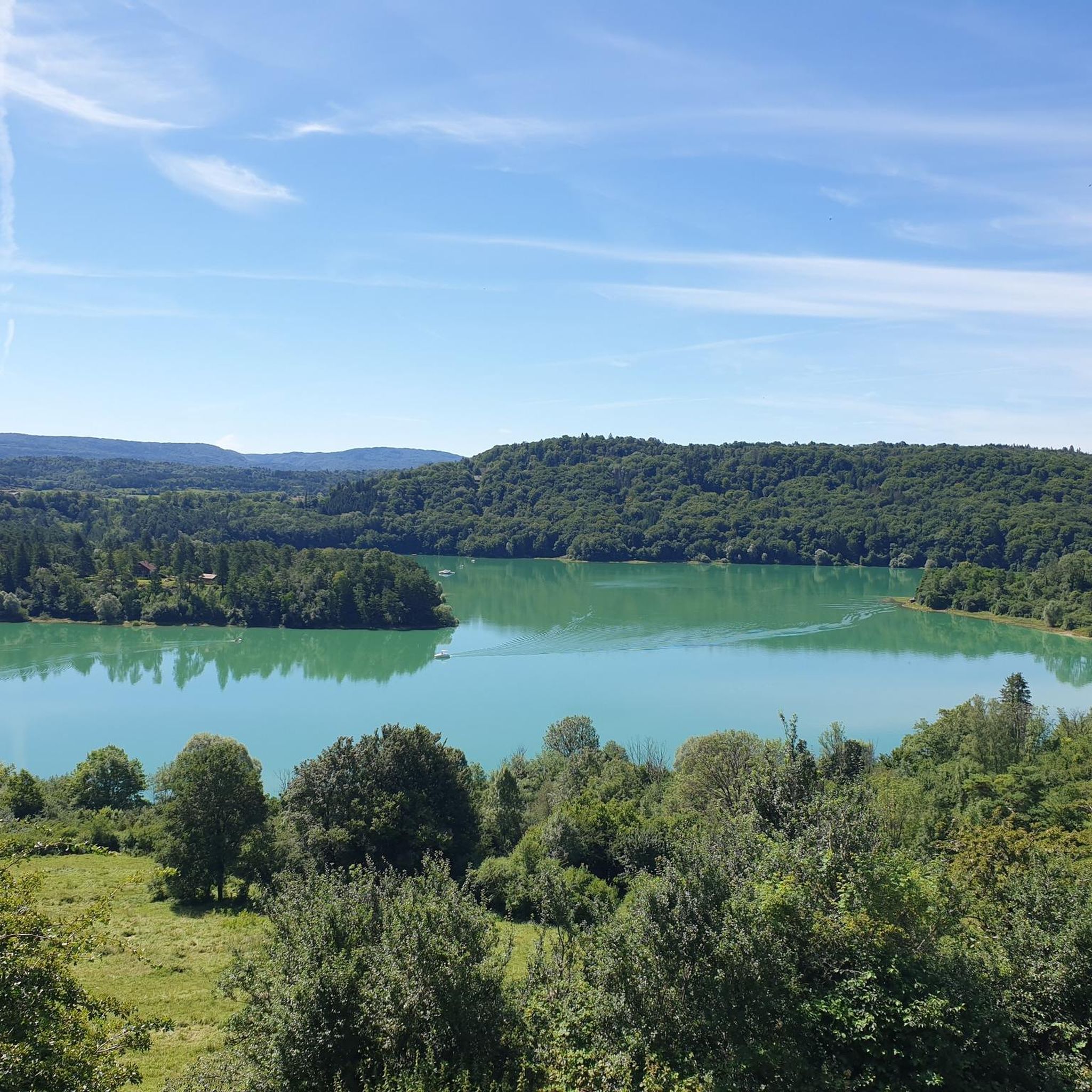
Yes, the region offers several picturesque viewpoints. You might encounter the Chancia Viewpoint or spots offering a View over Lake Nantua, providing stunning vistas of the surrounding natural landscape during your run.
Can I find routes that pass by lakes or other natural attractions?
Many routes in the Géovreisset area offer proximity to beautiful natural features. You can find trails near Lake Nantua or Lake Genin. Some paths might even lead you close to the impressive Cascade de la Pisse Vache or the intriguing Grotte de Corveissiat.
Are there circular running routes available in Géovreisset?
Yes, many of the running routes in Géovreisset are designed as loops, making them convenient for starting and ending at the same point. For example, the popular Les Roches loop from Géovreisset is a moderate 8.3 km trail that offers varied terrain.
Are the running trails in Géovreisset dog-friendly?
While specific regulations can vary, the natural, forested, and hilly terrain around Géovreisset generally provides a welcoming environment for running with dogs. It's always advisable to keep your dog on a leash, especially in areas with wildlife or near agricultural land, and to respect local signage.
Are there any long-distance running trails in the Géovreisset region?
Yes, for those looking for longer runs, Géovreisset offers several extended trails. An example is the Retenue de Charmine-Moux – Sur Plantani loop from Zone Industrielle Ouest, which spans over 30 km and includes significant elevation, providing a substantial endurance challenge.
What is the best time of year to go jogging in Géovreisset?
The diverse geography of Géovreisset, transitioning from plains to mountains, makes it suitable for outdoor activities throughout much of the year. Spring and autumn generally offer pleasant temperatures and vibrant scenery. Summer can be warm, so early morning or late afternoon runs are often preferred. Winter jogging is possible, but conditions may vary with snow and ice, especially at higher altitudes.
Are there any relatively flat running routes in Géovreisset?
While Géovreisset is known for its hilly terrain, you can find routes with a relatively flat profile. The Running loop from Oyonnax is a good example, offering a moderate 8.3 km path that is more accessible for a steady, less strenuous run.
Most popular routes around Géovreisset
Most popular attractions around Géovreisset

Get inspired with the komoot mobile app


Explore more
Browse the best Running Trails & Routes in other regions.
