The best gravel rides around Réserve naturelle de Mantet
4.0
(2)
32
riders
6
rides
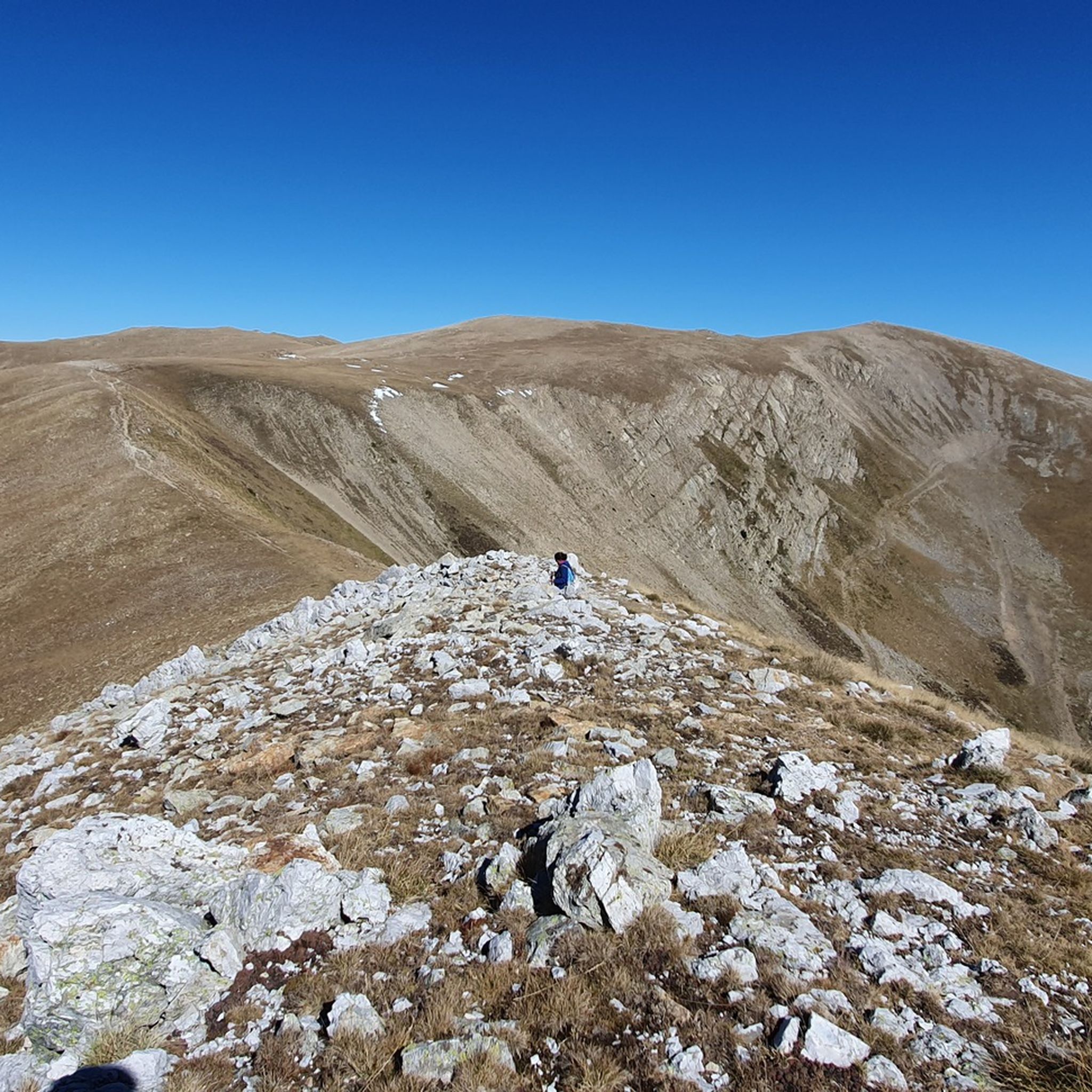
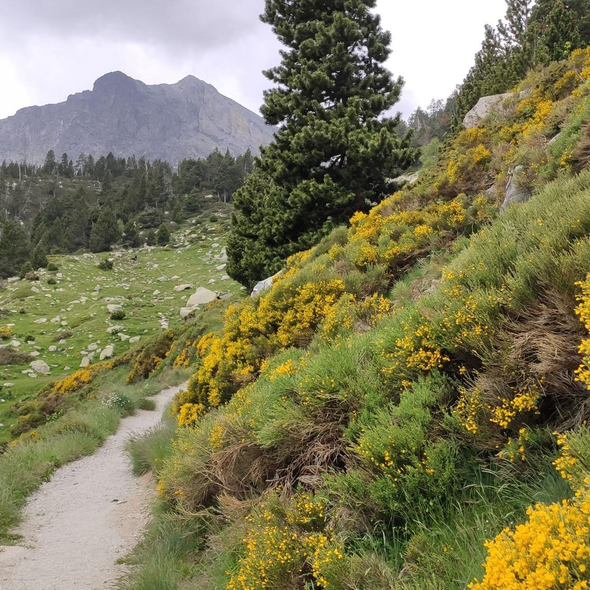
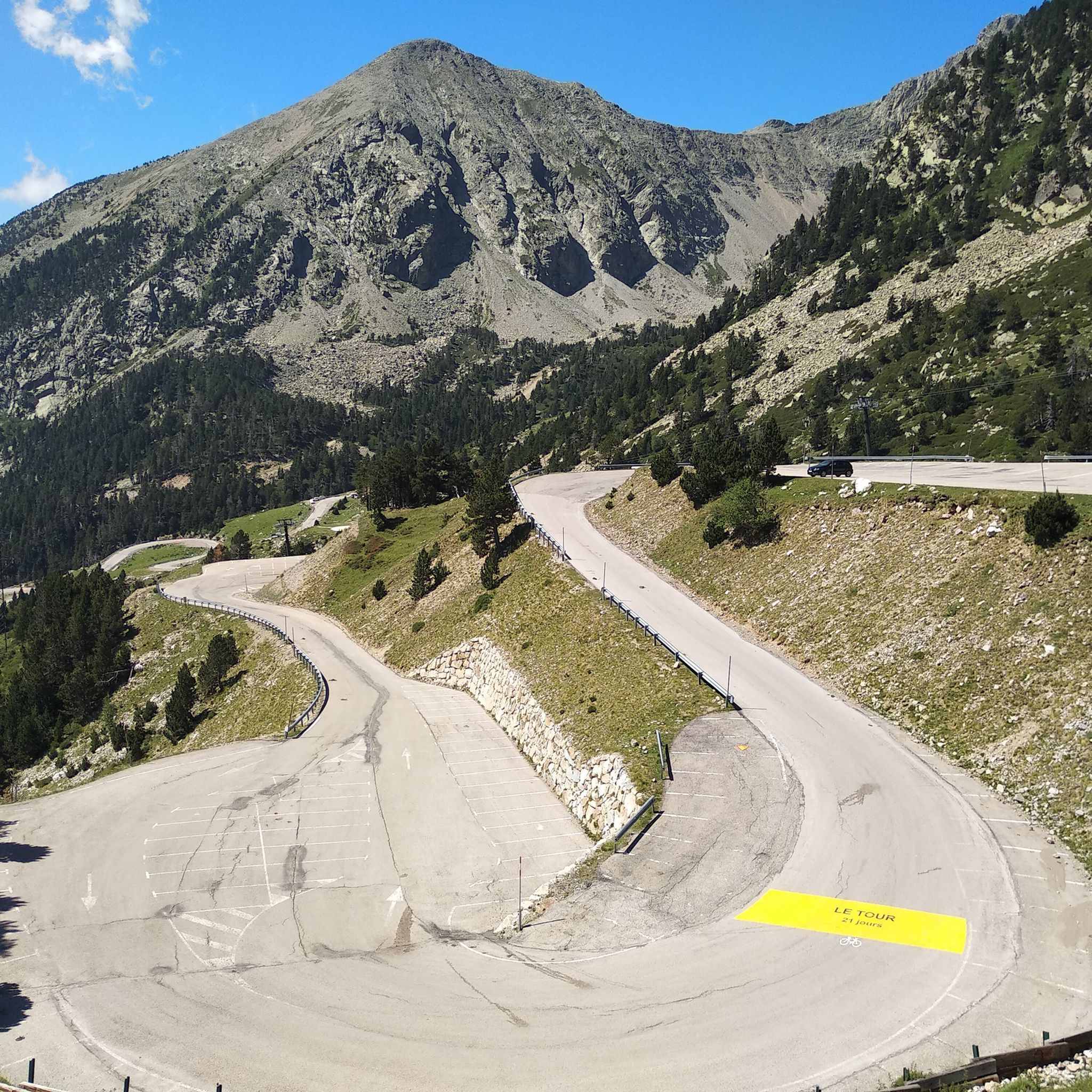
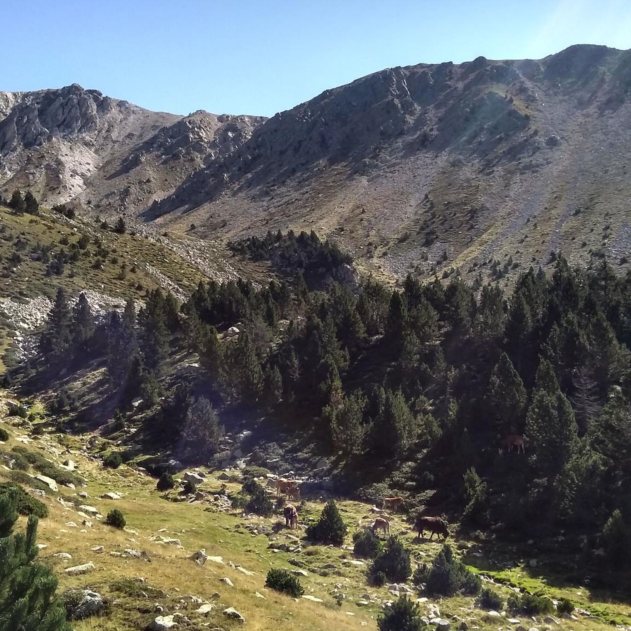
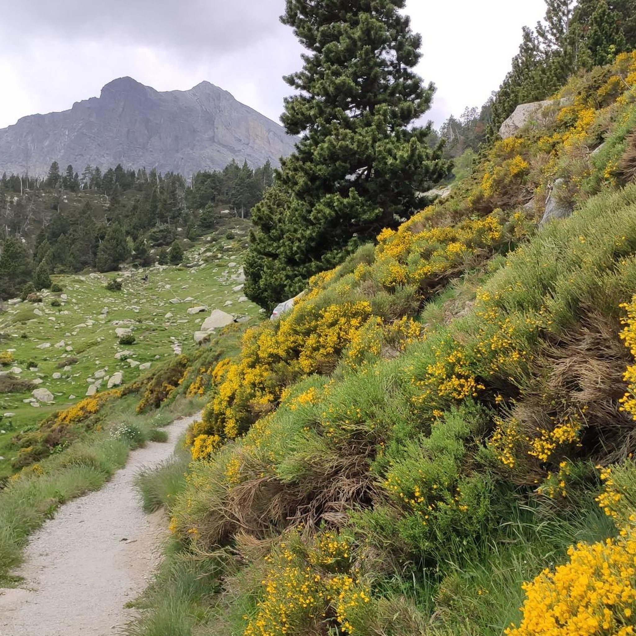
Gravel biking around Réserve naturelle de Mantet offers challenging routes through a mountainous landscape. The region is characterized by significant elevation changes, dense forests, and high mountain passes typical of the Pyrenees. Gravel bike trails here often traverse rugged terrain, providing a demanding experience for riders. The area features three parallel valleys, diverse habitats, and prominent peaks like Roca Colom.
Best gravel bike trails around Réserve naturelle de Mantet
- The most popular gravel bike trail is Col de la Creu…
Last updated: July 9, 2026
3.0
(1)
4
riders
21.9km
01:52
720m
720m
Hard gravel ride. Very good fitness required. You may need to push your bike for some segments of this route.
8
riders
58.5km
05:14
1,710m
1,710m
Hard gravel ride. Very good fitness required. Mostly paved surfaces. Suitable for all skill levels.

Sign up for free
5.0
(1)
6
riders
52.4km
03:51
1,250m
1,250m
Hard gravel ride. Very good fitness required. Mostly paved surfaces. Suitable for all skill levels.
5
riders
83.6km
05:59
1,780m
1,780m
Hard gravel ride. Very good fitness required. Mostly paved surfaces. Suitable for all skill levels.
6
riders
97.6km
08:35
3,280m
3,280m
Hard gravel ride. Very good fitness required. Mostly paved surfaces. Suitable for all skill levels.
Our route recommendations are based on thousands of hikes, rides, and runs completed by other people on komoot.
Start today with a free account
Your next adventure awaits.
Login or Signup
Popular around Réserve naturelle de Mantet

Tips from the Community

This ancient trading town, the capital of Conflent, has preserved some beautiful traces of its history and its status as a defensive town. Examples include the ramparts and the Viguerie Tower, built by the Count of Cerdagne in the 11th century and subsequently reinforced by Vauban's fortifications in the 17th century.
0
0
Instantly enchanted by the beautiful views over the valleys and the surrounding mountains that are offered here.
14
0
really old architecture, gate of Fillols.
17
0
VIllefranche-de-Conflent is a town with an exceptional heritage: from the Middle Ages to the present day, time has left its mark in the stones of the men who built, conquered or lived in the town. More than anyone, Vauban, the "Sun King's wanderer", has left his mark here.
10
0
The Col de Jou from Villefranche de Conflent is a climb in the French Pyrenees. This climb is 11.4 kilometers long and has a positive elevation gain of 687 meters. The Col de Jou from Villefranche de Conflent has an average gradient of 6%.
15
0
Fuilla is a village of five hamlets in the heart of the Apple Valley, where the Rotja River flows. It boasts a rich Romanesque heritage, landscapes, unspoiled nature, a diverse population, and a dynamic community that is recognizable even beyond the valleys.
17
0
Frequently Asked Questions
What is the typical difficulty of gravel bike trails around Réserve naturelle de Mantet?
Gravel biking in this region is generally demanding. The trails are characterized by substantial climbs and descents through mountainous landscapes, making them suitable for experienced riders. All routes in this guide are rated as "difficult."
Are there any beginner-friendly gravel bike trails in Réserve naturelle de Mantet?
No, the Réserve naturelle de Mantet region primarily offers challenging routes. All listed routes are rated "difficult" due to significant elevation changes and rugged mountain terrain, making them more suitable for experienced gravel bikers.
What are the typical distances of gravel bike trails in Réserve naturelle de Mantet?
The gravel bike trails in this area vary in length, offering substantial rides. For example, the Col de la Creu – Col de la Llose loop from Olette - Canaveilles-les-Bains is 36.3 miles (58.4 km), while the Mas Riquer – Bridge over the Têt loop from Olette - Canaveilles-les-Bains extends to 52.0 miles (83.7 km).
Are there any circular gravel bike routes in the Mantet region?
Yes, many of the gravel bike routes in the Mantet region are designed as loops. For instance, the Col de la Creu – Col de la Llose loop from Olette - Canaveilles-les-Bains and the Mas Riquer – Bridge over the Têt loop from Olette - Canaveilles-les-Bains are both excellent circular options, allowing you to start and finish at the same point.
What is the best season for gravel biking in Réserve naturelle de Mantet?
Given the mountainous terrain and high passes, the best season for gravel biking in Réserve naturelle de Mantet is typically from late spring through early autumn (May to October). During these months, you'll generally find more favorable weather conditions and less snow at higher elevations.
What kind of views or natural attractions can I expect along the gravel bike routes?
The routes offer stunning views of the Pyrenees. You can expect to encounter high mountain passes, dense forests, and river valleys. Notable points of interest in the wider area include the Roca Colom summit, Pic de la Dona (2,702 m), and the scenic Mentet Pass.
Is public transport available to reach gravel bike trailheads near Mantet?
Access to trailheads in this mountainous and somewhat remote region primarily relies on personal vehicles. Public transport options directly to specific gravel bike trailheads are limited, so planning for car access is advisable.
Where can I find parking for gravel biking in Réserve naturelle de Mantet?
Parking is generally available in the villages and towns that serve as starting points for these routes, such as Olette - Canaveilles-les-Bains or Py. Always check local signage for specific parking regulations and availability.
Are there any family-friendly gravel bike routes in Réserve naturelle de Mantet?
Due to the challenging nature of the terrain, with significant elevation changes and difficult ratings, the routes in this guide are not typically considered family-friendly for younger children or beginner riders. They are better suited for experienced gravel bikers.
What are the longest gravel bike routes available in the region?
For a longer adventure, consider the Mantet Pass – Prats de Molló loop from Py, which covers over 100 km (62 miles) and features substantial elevation gain, offering a truly epic ride through the Pyrenees.
What kind of wildlife might I encounter while gravel biking in Réserve naturelle de Mantet?
As a nature reserve, the area is rich in biodiversity. While gravel biking, you might spot various bird species, chamois, or even marmots in higher alpine areas. Always maintain a respectful distance and avoid disturbing the local fauna.
Are there cafes or places to refuel near the gravel bike trails?
While the trails themselves traverse wild, natural landscapes, you can find cafes and small shops in the villages and towns at the start or end points of routes, such as Olette - Canaveilles-les-Bains or Py. It's always recommended to carry sufficient water and snacks for your ride.
Most popular routes around Réserve naturelle de Mantet
Most popular attractions around Réserve naturelle de Mantet

Get inspired with the komoot mobile app


Explore more
Browse the best Gravel rides in other regions.
