The best road cycling routes around Réserve naturelle de Mantet
4.6
(19)
1,381
riders
14
rides
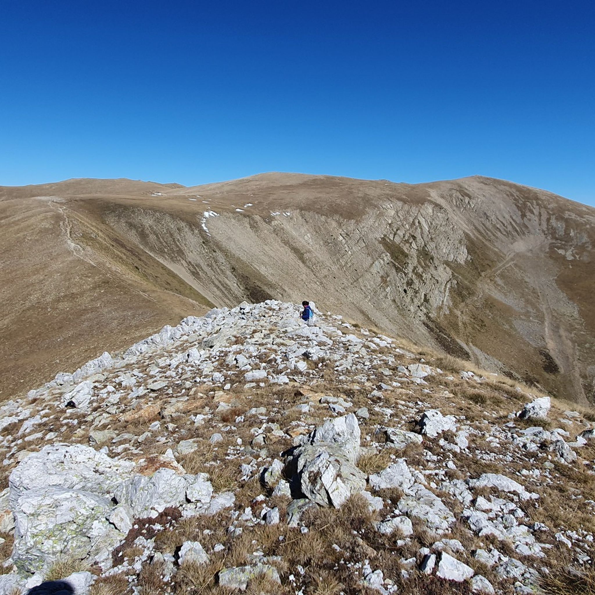
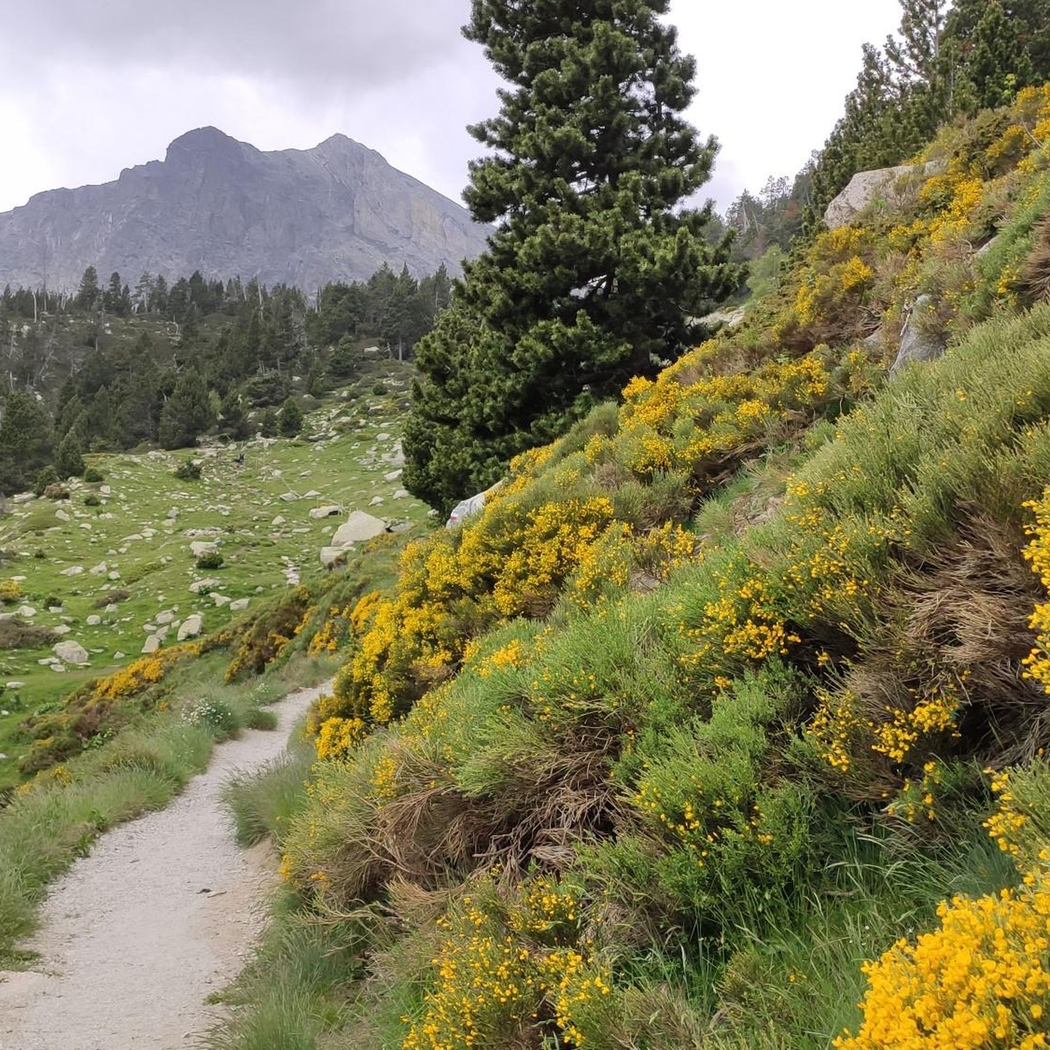
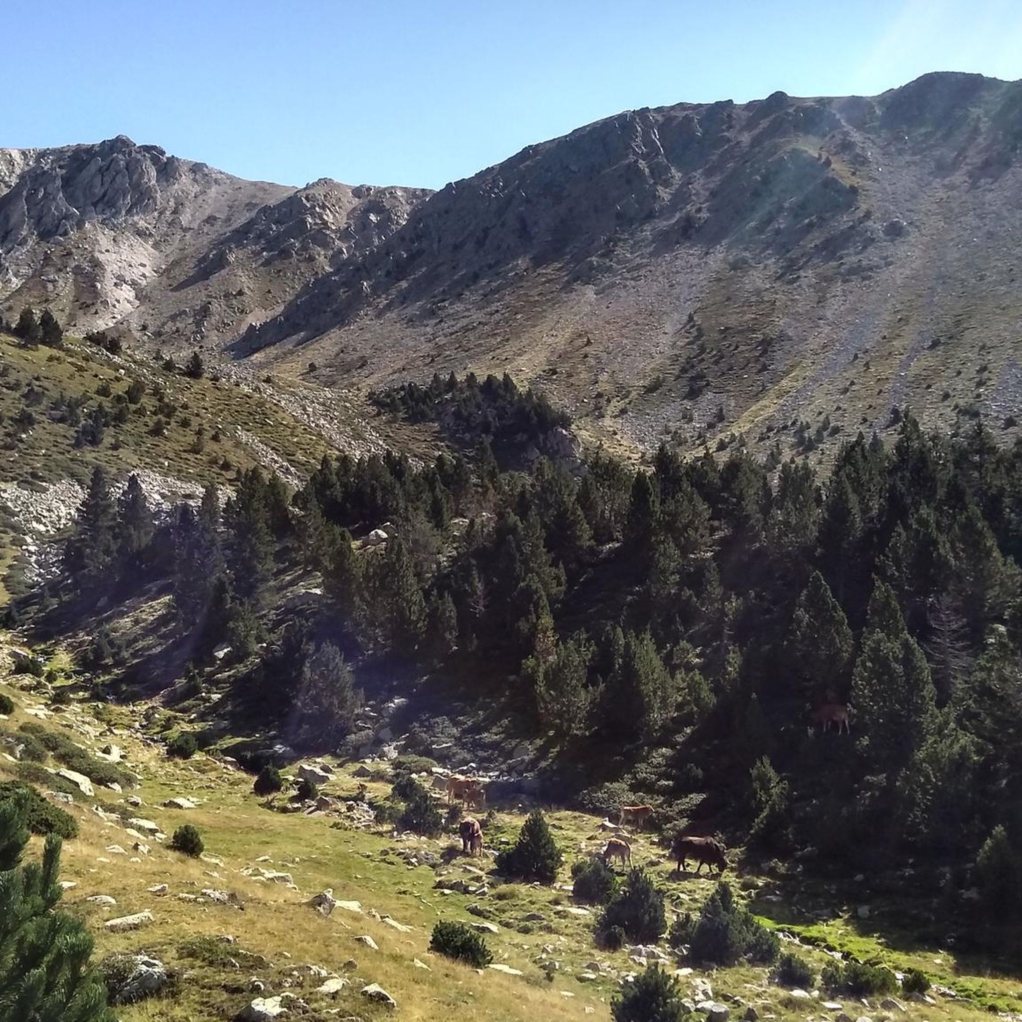
Road cycling around Réserve naturelle de Mantet offers routes through the eastern Pyrénées, characterized by significant elevation changes and diverse landscapes. The terrain ranges from 674 to 2380 meters, encompassing deep valleys, forests of hook pines, and open heathlands. Cyclists can expect challenging ascents and descents across a network of paths within this protected natural area.
Best road cycling routes around Réserve naturelle de Mantet
- The most popular road cycling route is New Bridge of Camprodon – Pastelería Pujol loop from Vallter 2000, a 26.8 miles (43 km) trail that takes 2 hours 35 minutes to complete. This difficult route features substantial elevation gain through mountainous terrain.
- Another top favourite among local road cyclists is Vallter 2000 Ski Resort – Vallter 2000 Mountain Pass loop from Setcases, a difficult 15.4 miles (25 km) path. This route includes a significant mountain pass ascent, offering panoramic views.
- Local road cyclists also love the New Bridge of Camprodon – Coll de Jou loop from Setcases, a 44.8 miles (72 km) trail leading through varied mountain landscapes, often completed in about 4 hours 26 minutes.
- Road cycling around Réserve naturelle de Mantet is defined by high mountain passes, deep valleys, and extensive forests. The network offers challenging routes for experienced cyclists.
- The routes in Réserve naturelle de Mantet are highly rated by the komoot community with an average score of 4.6 stars from over 20 reviews. More than 1700 road cyclists have used komoot to explore Réserve naturelle de Mantet's varied terrain.
Last updated: July 15, 2026
59
riders
72.3km
04:30
1,630m
1,630m
Hard road ride. Very good fitness required. Mostly well-paved surfaces and easy to ride.
130
riders
51.2km
03:11
1,390m
1,390m
Hard road ride. Very good fitness required. Mostly well-paved surfaces and easy to ride.

Sign up for free
5.0
(5)
775
riders
70.2km
04:20
1,850m
1,850m
Hard road ride. Very good fitness required. Some segments of this route may be unpaved and difficult to ride.
49
riders
73.7km
03:54
1,350m
1,350m
Hard road ride. Very good fitness required. Mostly well-paved surfaces and easy to ride.
21
riders
39.6km
02:31
1,130m
1,130m
Hard road ride. Very good fitness required. Some segments of this route may be unpaved and difficult to ride.
Get access to more routes and recommendations from other explorers.
Sign up for free
Already have an account?
Our route recommendations are based on thousands of hikes, rides, and runs completed by other people on komoot.
Start today with a free account
Your next adventure awaits.
Login or Signup
Popular around Réserve naturelle de Mantet


Tips from the Community

The Grand Menhir of Counozouls weighs 50 tons and is 8.9m high. It is the largest menhir in Southern France.
1
0

Quite a bit of traffic, but a pretty port, especially the final section.
0
0

It's an ideal spot for a picnic. It's also an ideal place for groups of cyclists supported by vans, as there's plenty of space here to relax and not disturb anyone. The lake is at an elevated point, so accessing it from La Llagonne or Les Angles requires a steep climb, always at a lower gradient.
0
0

All of Camprodon is worth visiting!!!
0
0

Small pass at the exit of Ayguatebia which leads back to the Col de Creu. Not cleared of snow from November to March.
0
0
Fountain in the charming little village of Ayguatebia to refill your water before the final of the Col de la Llose or the Col de Jouël.
0
0


A very pleasant route in summer thanks to the coolness and the constant presence of the Saint-Vincent River, which flows down from the Conques du Canigó. The atmosphere of these gorges and the roar of the waterfalls will enchant you. Be careful, as this steep trail carries a risk of falling rocks and boulders. Follow the signs. Do not use during storms, rain, or flooding. Cross the stream via a ford at the second waterfall. Rocky path. Hiking boots are strongly recommended. Note: The trail is closed from September 30th to April 1st (municipal decree in effect).
16
0
Frequently Asked Questions
What kind of terrain can I expect when road cycling in Réserve naturelle de Mantet?
Road cycling in Réserve naturelle de Mantet is characterized by significant elevation changes, with routes spanning from 674 to 2380 meters in altitude. You'll encounter a diverse landscape, transitioning from deep valleys to majestic peaks, with 31 km through hills and 56 km in natural settings. Expect challenging ascents and descents through forests of hook pines, open heathlands, and varied mountain environments.
Are there many road cycling routes available in Réserve naturelle de Mantet?
Yes, the Réserve naturelle de Mantet offers a network of 12 road cycling routes. The majority of these, 8 out of 12, are classified as difficult, providing a challenging experience for experienced cyclists. There are also 4 moderate routes for those seeking a slightly less strenuous ride.
What are some notable natural features or landmarks I might see while cycling in the Mantet Reserve?
The reserve is rich in natural beauty. You can expect to see diverse habitats including forests of hook pines, birch, and fir, as well as open heathlands. The landscape is defined by three parallel valleys fed by the Mantet river. Notable high points and passes include the Roca Colom summit, Pic de la Dona (2,702 m), Mentet Pass, and Col del Pal. Keep an eye out for diverse wildlife such as chamois, wildcats, and various bird species.
What is the best time of year for road cycling in Réserve naturelle de Mantet?
The Réserve naturelle de Mantet is located in the eastern Pyrénées, meaning that spring, summer, and early autumn generally offer the most favorable conditions for road cycling. During these seasons, you'll find more stable weather, accessible mountain passes, and the full beauty of the diverse flora. Winter conditions can bring snow and ice, making many routes challenging or impassable.
Are there any circular road cycling routes in the area?
Yes, many of the routes in Réserve naturelle de Mantet are designed as loops. For instance, the challenging New Bridge of Camprodon – Pastelería Pujol loop from Vallter 2000 is a 43 km ride, and the Col de la Creu – Col de la Llose loop from Olette covers 70 km, both offering a complete circular experience.
What are the typical distances and durations for road cycling routes in Réserve naturelle de Mantet?
Routes vary significantly in length and duration due to the challenging terrain. You can find rides like the 25 km Vallter 2000 Ski Resort – Vallter 2000 Mountain Pass loop from Setcases, which takes around 1 hour 48 minutes, up to longer excursions such as the 72 km New Bridge of Camprodon – Coll de Jou loop from Setcases, typically completed in about 4 hours 26 minutes.
What do other cyclists say about road cycling in Réserve naturelle de Mantet?
The road cycling routes in Réserve naturelle de Mantet are highly rated by the komoot community, with an average score of 4.6 stars from over 20 reviews. Cyclists often praise the challenging mountain passes, the stunning panoramic views, and the preserved natural environment rich in biodiversity.
Are there any specific mountain passes or cols that are popular among road cyclists in the reserve?
Yes, the region is known for its challenging mountain passes. The 'Col de la Llose' is a prominent feature, as seen in routes like the Ascent of Mont-Louis and col de la Llose. These cols offer significant elevation gain and rewarding views, making them popular targets for experienced road cyclists.
Is Réserve naturelle de Mantet a protected area, and what does that mean for cyclists?
Yes, the Réserve naturelle nationale de Mantet was established in 1984 as a protected area to preserve its exceptional natural heritage and biodiversity. This status ensures a pristine environment for outdoor activities. For cyclists, it means adhering to environmental guidelines, staying on designated routes, and respecting the wildlife and natural habitats. It contributes to a more serene and untouched cycling experience.
What kind of fitness level is required for road cycling in Réserve naturelle de Mantet?
Given the significant elevation changes and the classification of most routes as 'difficult', a very good fitness level is generally recommended for road cycling in Réserve naturelle de Mantet. Routes often involve substantial climbing and descending, making them suitable for experienced cyclists seeking a challenge.
Most popular routes around Réserve naturelle de Mantet
Most popular attractions around Réserve naturelle de Mantet

Get inspired with the komoot mobile app


Explore more
Browse the best Road cycling routes in other regions.
