The best mountain hikes around Réserve naturelle de Mantet
4.8
(4)
98
hikers
11
hikes
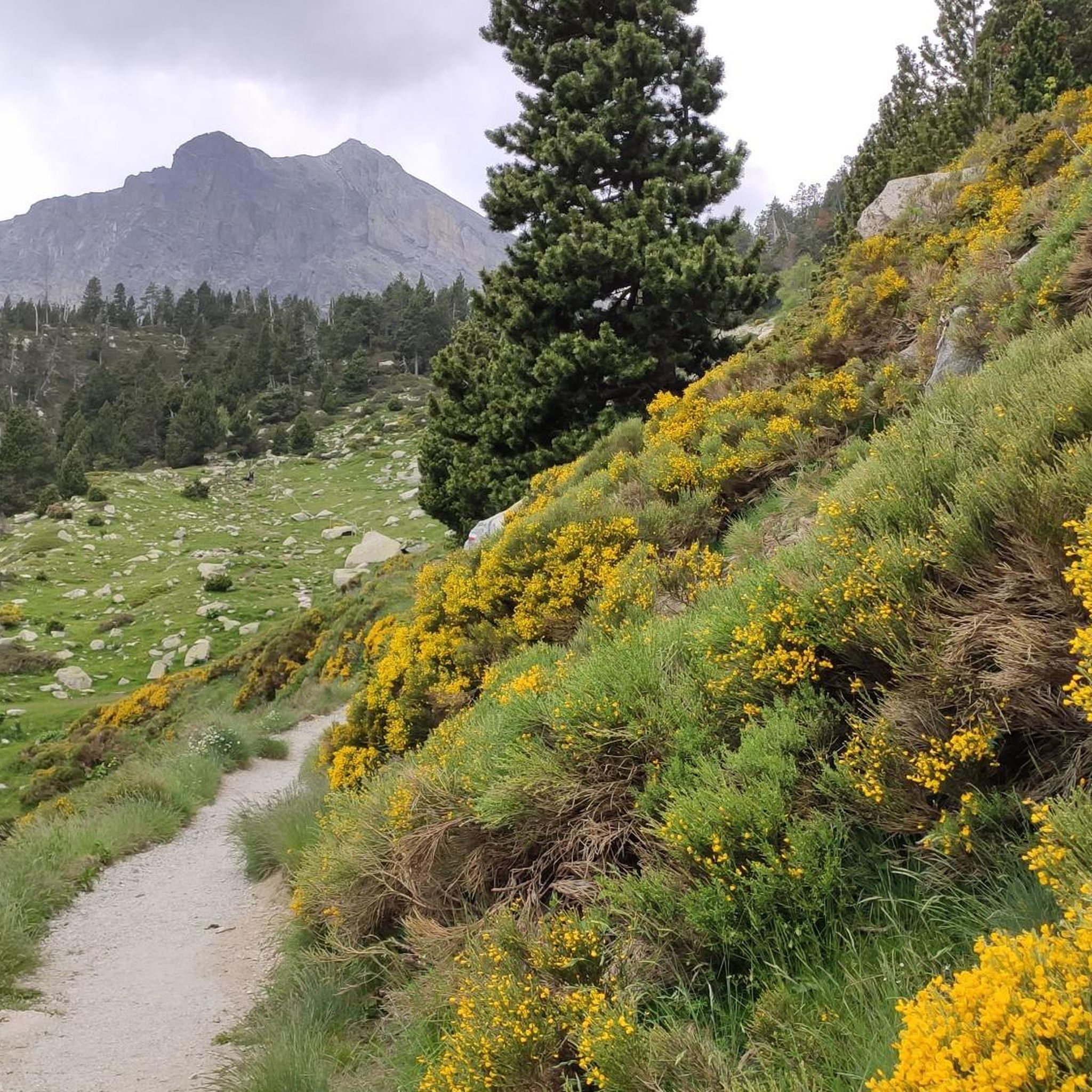
Mountaineering around Réserve naturelle de Mantet features a rugged landscape characterized by high alpine peaks, challenging passes, and rocky ridges within the Pyrenees. The region offers significant elevation changes, with routes often traversing exposed terrain and offering panoramic views. These trails provide an immersive experience in a demanding mountain environment.
Best mountaineering routes around Réserve naturelle de Mantet
- The most popular mountaineering route is Pic de Bastiments – Coll de la Marrana loop from Vallter 2000, a 7.3 miles…
Last updated: July 15, 2026
24
hikers
8.65km
04:52
840m
840m
Moderate mountaineering route. Good fitness required. Mostly accessible paths. Sure-footedness required.
5.0
(1)
13
hikers
14.2km
06:59
1,140m
1,140m
Hard mountaineering route. Very good fitness required. Sure-footedness, sturdy shoes and alpine experience required.

Sign up for free
5.0
(1)
14
hikers
Hard mountaineering route. Very good fitness required. Mostly accessible paths. Sure-footedness required.
7
hikers
18.2km
06:57
820m
820m
Hard mountaineering route. Very good fitness required. Mostly accessible paths. Sure-footedness required.
3
hikers
10.3km
04:16
700m
690m
Moderate mountaineering route. Good fitness required. Mostly accessible paths. Sure-footedness required.
Get access to more routes and recommendations from other explorers.
Sign up for free
Already have an account?
Our route recommendations are based on thousands of hikes, rides, and runs completed by other people on komoot.
Start today with a free account
Your next adventure awaits.
Login or Signup
Popular around Réserve naturelle de Mantet

Tips from the Community

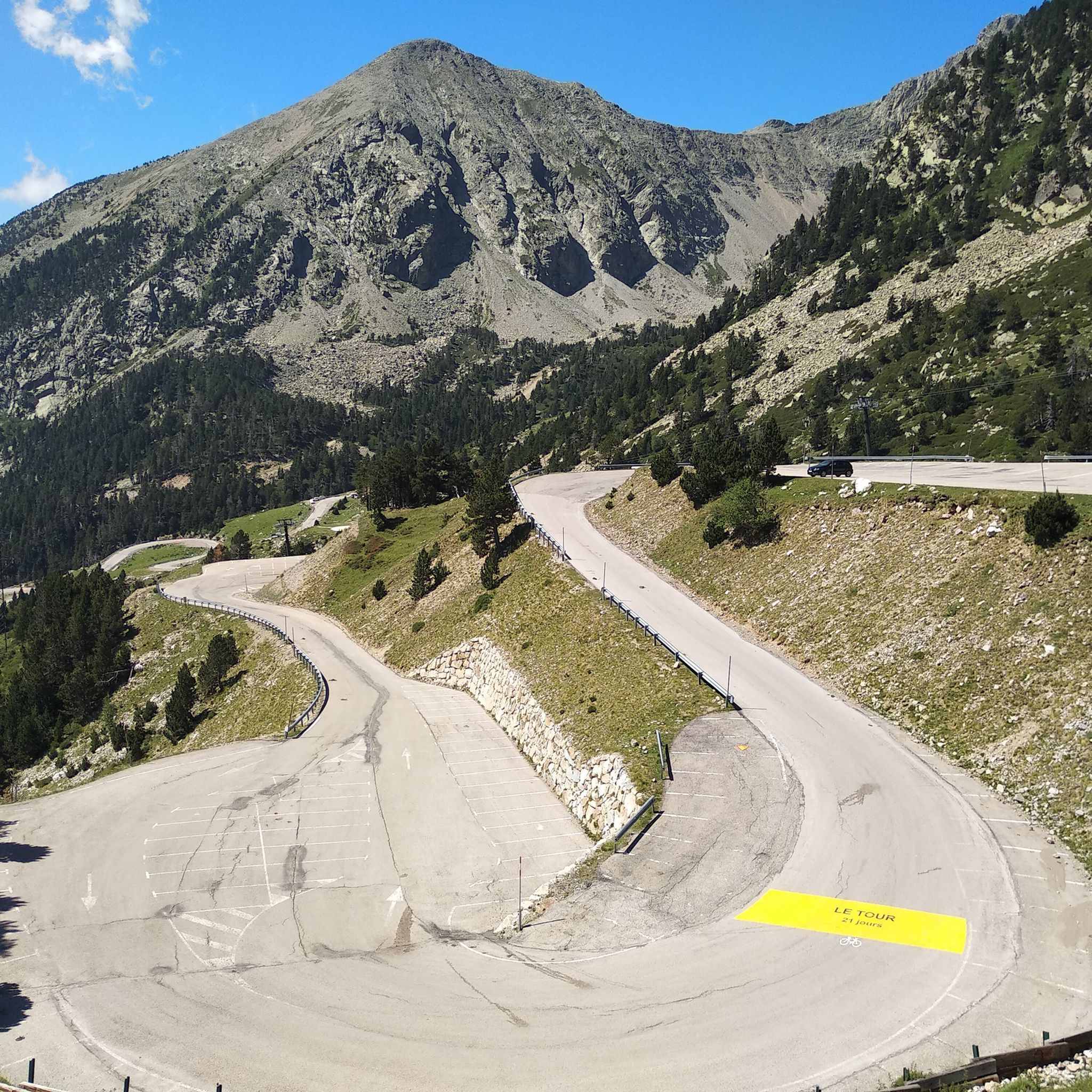
The ski resort, located on the main ridge of the Pyrenees in Ripollès on the border with France, is also one of the highest mountain passes that you can reach by bike on an asphalted road. The ski resort has been the finish line for the Volta a Catalunya several times, most recently in 2019.
1
0

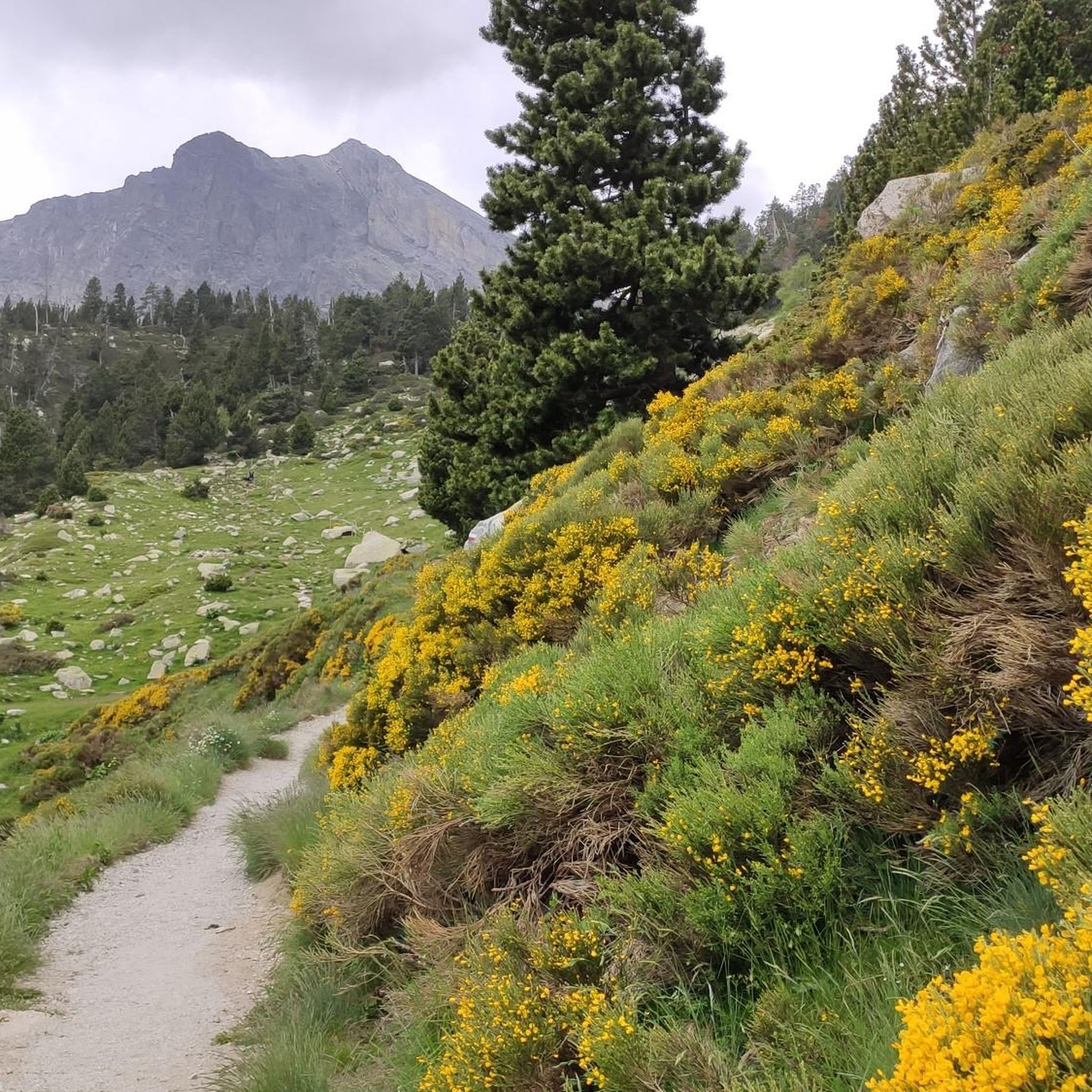
Walk without too much difficulty
0
0

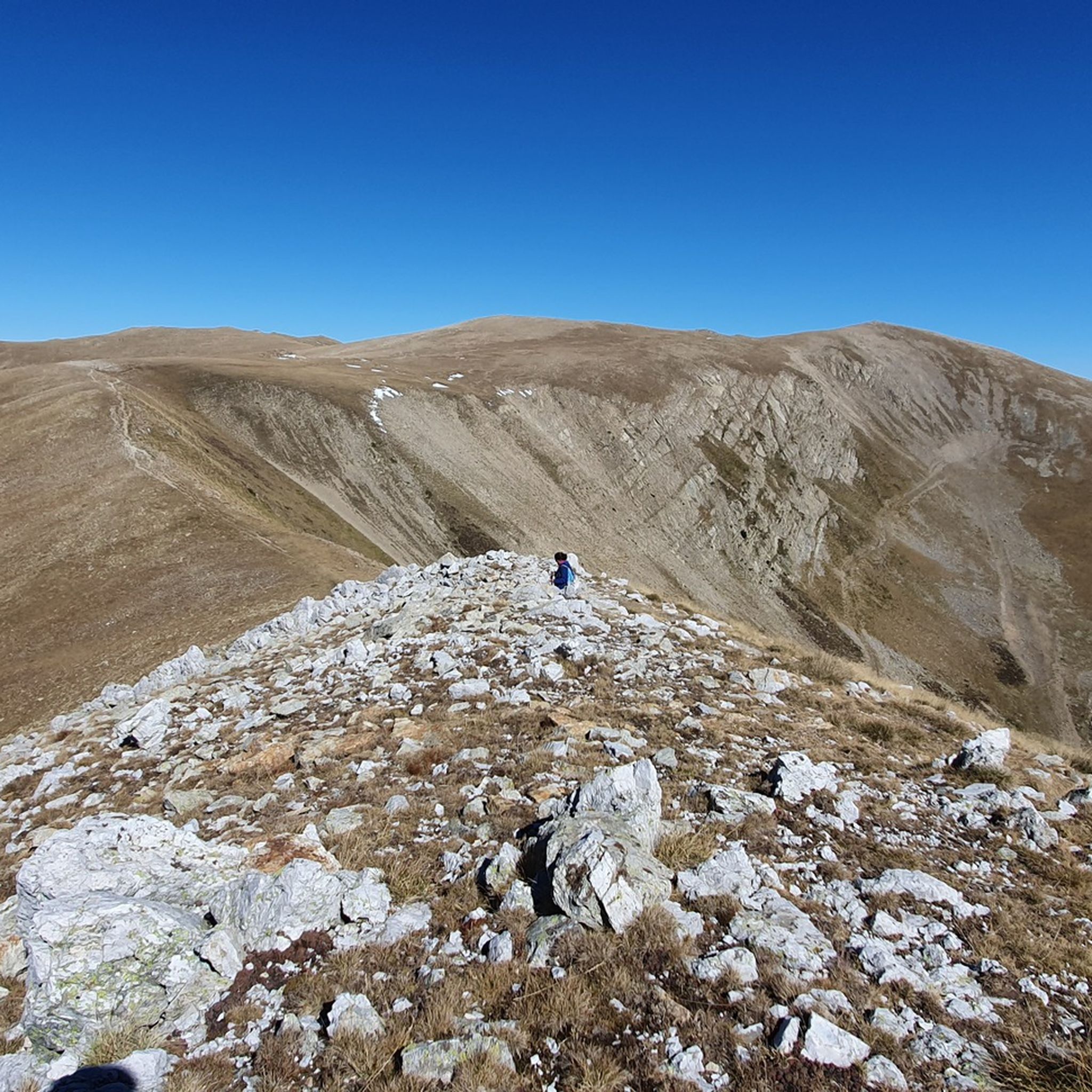
At 2,881 m, it is the highest peak on the ridge, reaching Puigmal. It invites you to a longer ridge crossing.
2
0
A panoramic summit slightly off the main ridge. Those who descend into the Caranca Gorge after crossing the Pic de l'Infern - Bastiments ridge can add to their 2800m collection on easy trails.
0
0
East side of the summit ridge of the Bastiment with summit cross. A long ridge crossing is possible via this point.
2
0

Very busy peak. You can continue along the ridge in a westerly direction to the Pic de l'Infern
0
0

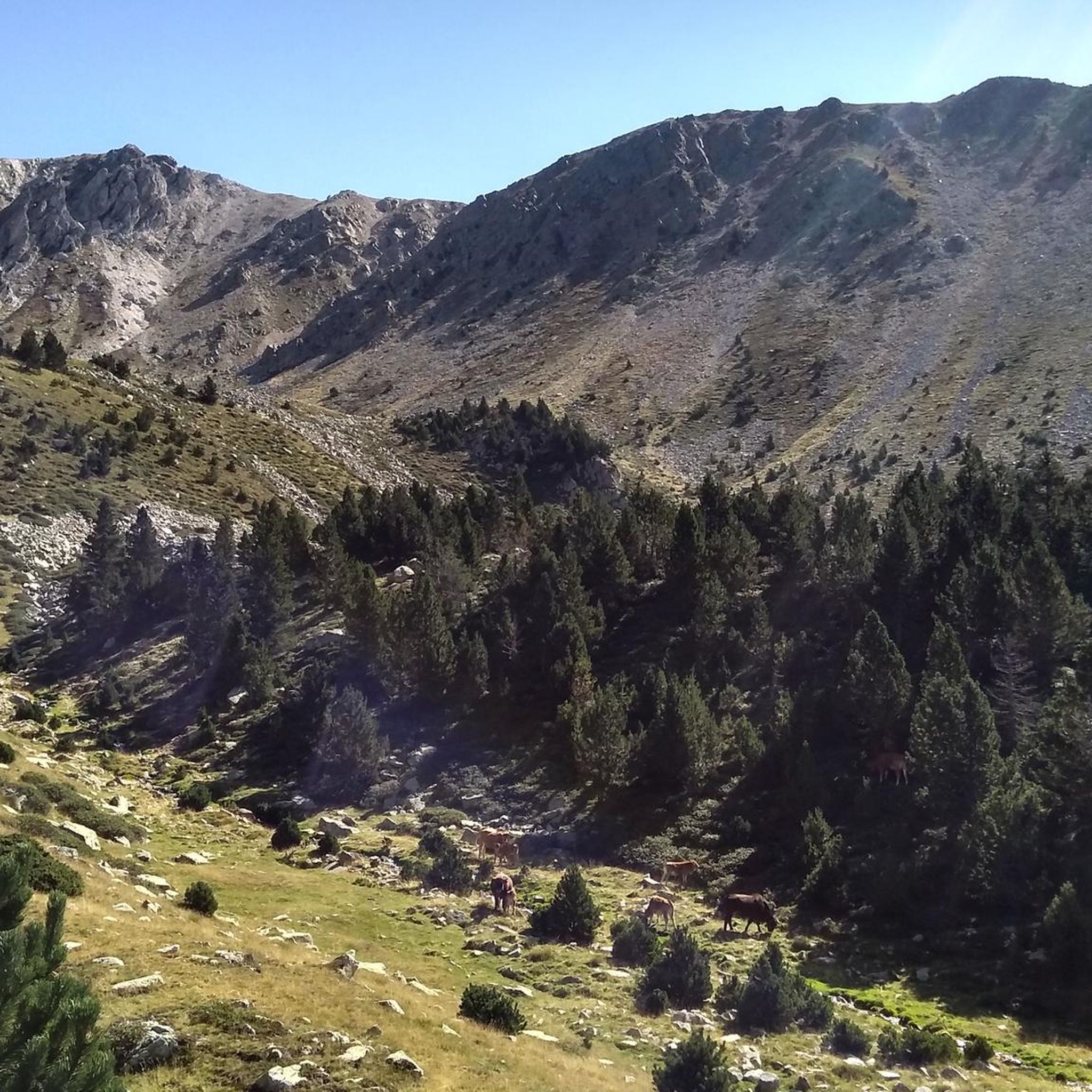
Beautiful Ibon at 2601ma, between Bacivers de Prats and Bastiments
1
0

Mataró > Vallter / Setcases (Camprodon Valley) 03/19/2024 - Stage 2 Tour of Catalonia
0
1
Frequently Asked Questions
How many mountaineering routes are available in Réserve naturelle de Mantet?
There are 13 mountaineering routes documented in Réserve naturelle de Mantet, offering a range of challenging experiences for experienced mountaineers.
Are there any beginner-friendly mountaineering routes in Réserve naturelle de Mantet?
The routes in Réserve naturelle de Mantet are generally suited for experienced mountaineers, with options ranging from moderate to difficult. There are no routes classified as easy, so a good level of fitness and mountaineering experience is recommended.
What are some of the more challenging mountaineering routes in the reserve?
For those seeking a significant challenge, the Coll de la Marrana – Pic de Bastiments loop from Vallter 2000 is a difficult 8.8-mile (14.2 km) path with sustained climbing. Another demanding option is the Coll del Pal – Costabona Summit (2,480 m) loop from Vallter 2000, which covers 11.3 miles (18.2 km).
Are there any circular mountaineering routes in Réserve naturelle de Mantet?
Yes, many of the mountaineering routes in the reserve are circular. For example, you can explore the Pic de Bastiments – Coll de la Marrana loop from Vallter 2000, which is a 7.3-mile (11.7 km) challenging loop. Another option is the Coll de la Marrana – Gra de Fajol Summit loop from Vallter 2000, a moderate 4.1-mile (6.6 km) trail.
What is the best time of year for mountaineering in Réserve naturelle de Mantet?
The best time for mountaineering in the Pyrenees, including Réserve naturelle de Mantet, is typically from late spring to early autumn (June to September). During these months, the snow has usually melted from higher elevations, and weather conditions are generally more stable, though mountain weather can change rapidly.
What are the winter climbing conditions like in Réserve naturelle de Mantet?
Winter mountaineering in Réserve naturelle de Mantet presents significant challenges due to snow, ice, and potentially severe weather. Routes become more technical, requiring specialized gear like crampons, ice axes, and avalanche safety equipment. Experience in winter conditions and route finding is essential.
What kind of gear should I bring for mountaineering trips in Réserve naturelle de Mantet?
Given the rugged and high-alpine nature of the routes, essential gear includes sturdy mountaineering boots, appropriate layered clothing, waterproof and windproof outerwear, a helmet, navigation tools (map, compass, GPS), sufficient water and food, and a first-aid kit. Depending on the season and specific route, you might also need trekking poles, ice axe, crampons, and a rope.
Are there any scenic viewpoints or notable landmarks along the mountaineering trails?
Yes, the region offers stunning panoramic views. Along the trails, you can encounter prominent summits and mountain passes. Notable points of interest include Roca Colom summit, Pic de la Dona (2,702 m), and the Mentet Pass. Many routes offer a superb panoramic trail experience.
What do other mountaineers enjoy most about the routes in Réserve naturelle de Mantet?
The mountaineering routes in Réserve naturelle de Mantet are highly rated by the komoot community, with an average score of 4.8 stars. Reviewers often praise the immersive experience in a demanding mountain environment, the challenging passes, and the expansive, panoramic views of the Pyrenean landscape.
Is there parking available at the trailheads for mountaineering routes?
Many of the routes, such as those starting from Vallter 2000, typically have designated parking areas nearby. It's advisable to check specific route descriptions or local information for detailed parking availability and any potential fees before your trip.
Are there any permits required for climbing or mountaineering in Réserve naturelle de Mantet?
As a natural reserve, access and activities might be regulated to protect the environment. While general hiking often doesn't require permits, specific climbing or mountaineering activities, especially in sensitive areas or during certain seasons, might. It's always best to check with the official Réserve naturelle de Mantet management or local authorities before planning your trip.
Are there any cafes or pubs near the mountaineering routes in Réserve naturelle de Mantet?
Given the high-alpine and remote nature of many routes within the reserve, direct access to cafes or pubs along the trails is limited. However, starting points like Vallter 2000, a ski resort, may offer facilities. It's recommended to carry all necessary provisions and check for amenities in nearby villages before or after your mountaineering trip.
Are the mountaineering routes in Réserve naturelle de Mantet suitable for families?
The mountaineering routes in Réserve naturelle de Mantet are generally classified as moderate to difficult, featuring significant elevation changes and exposed terrain. They are typically not recommended for young children or families seeking easy walks. These trails are best suited for experienced individuals or families with extensive mountaineering experience and appropriate gear.
Can I bring my dog on the mountaineering trails in Réserve naturelle de Mantet?
As a natural reserve, regulations regarding dogs can vary to protect wildlife. While some areas may permit dogs on a leash, others might have restrictions or outright bans, especially during nesting seasons or in particularly sensitive zones. It is crucial to verify the current rules with the Réserve naturelle de Mantet administration before bringing your dog.
What is the duration of a typical mountaineering route in the reserve?
The duration of routes varies significantly based on distance, elevation gain, and difficulty. For instance, the moderate Gra de Fajol Summit – Coll de la Marrana loop from Vallter 2000 takes approximately 4 hours 10 minutes, while the more challenging Coll de la Marrana – Pic de Bastiments loop from Vallter 2000 can take over 7 hours.
Most popular routes around Réserve naturelle de Mantet
Most popular attractions around Réserve naturelle de Mantet

Get inspired with the komoot mobile app


Explore more
Browse the best Mountain Hikes & Routes in other regions.
