The best gravel rides in Forêt Domaniale De Meyriat
4.7
(6)
40
riders
6
rides
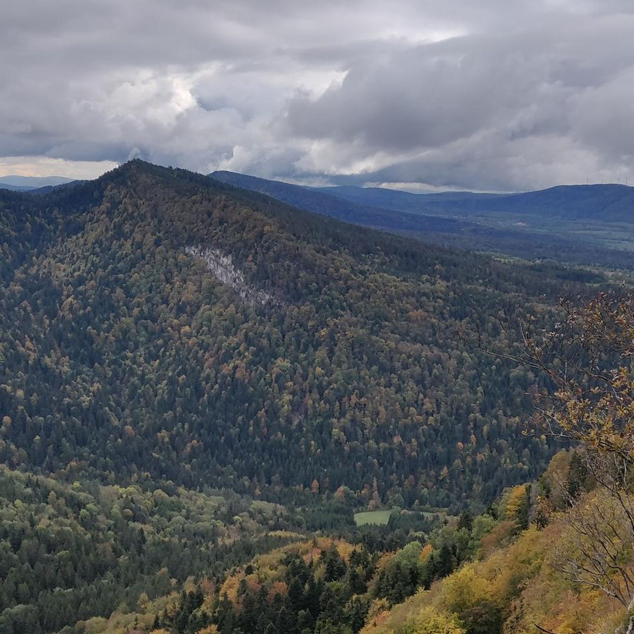
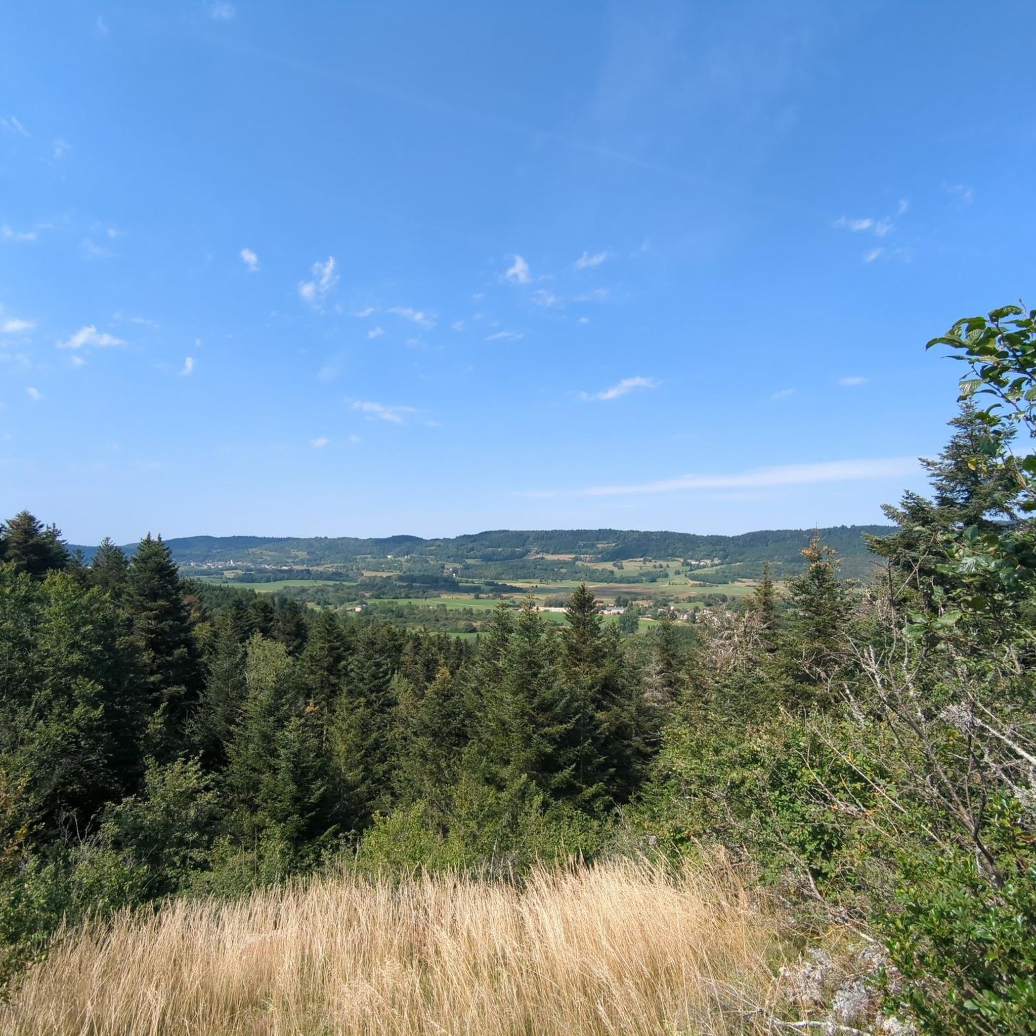
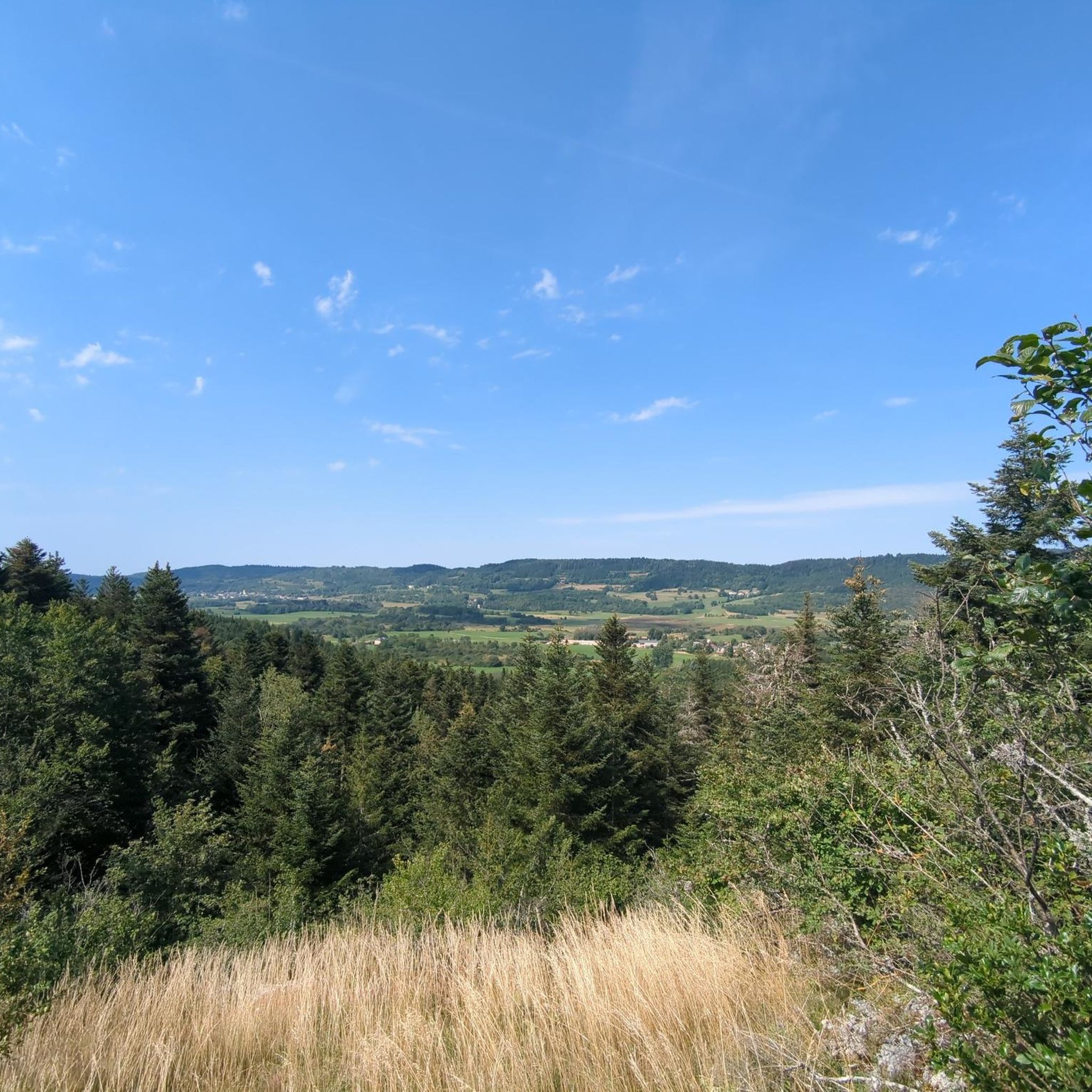
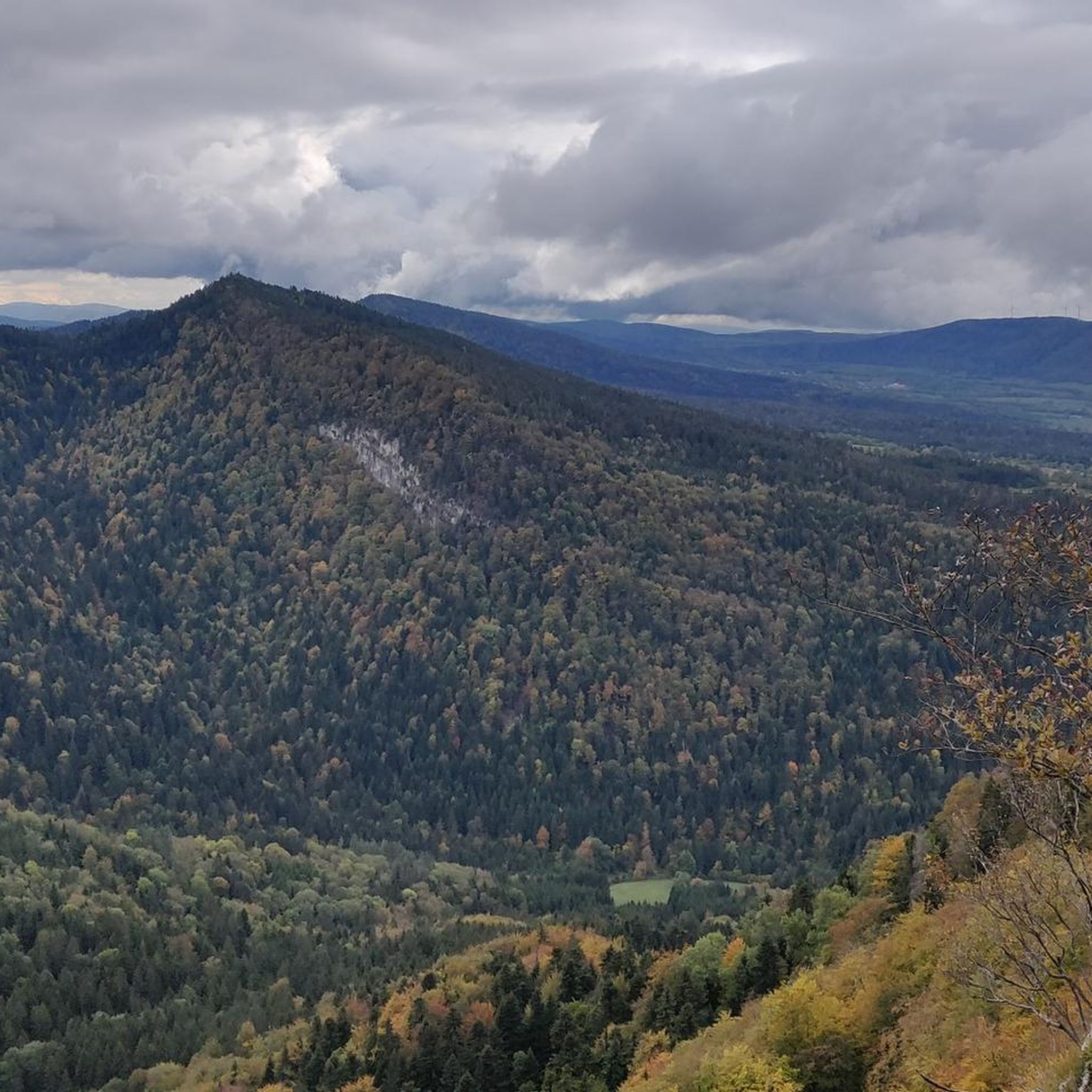
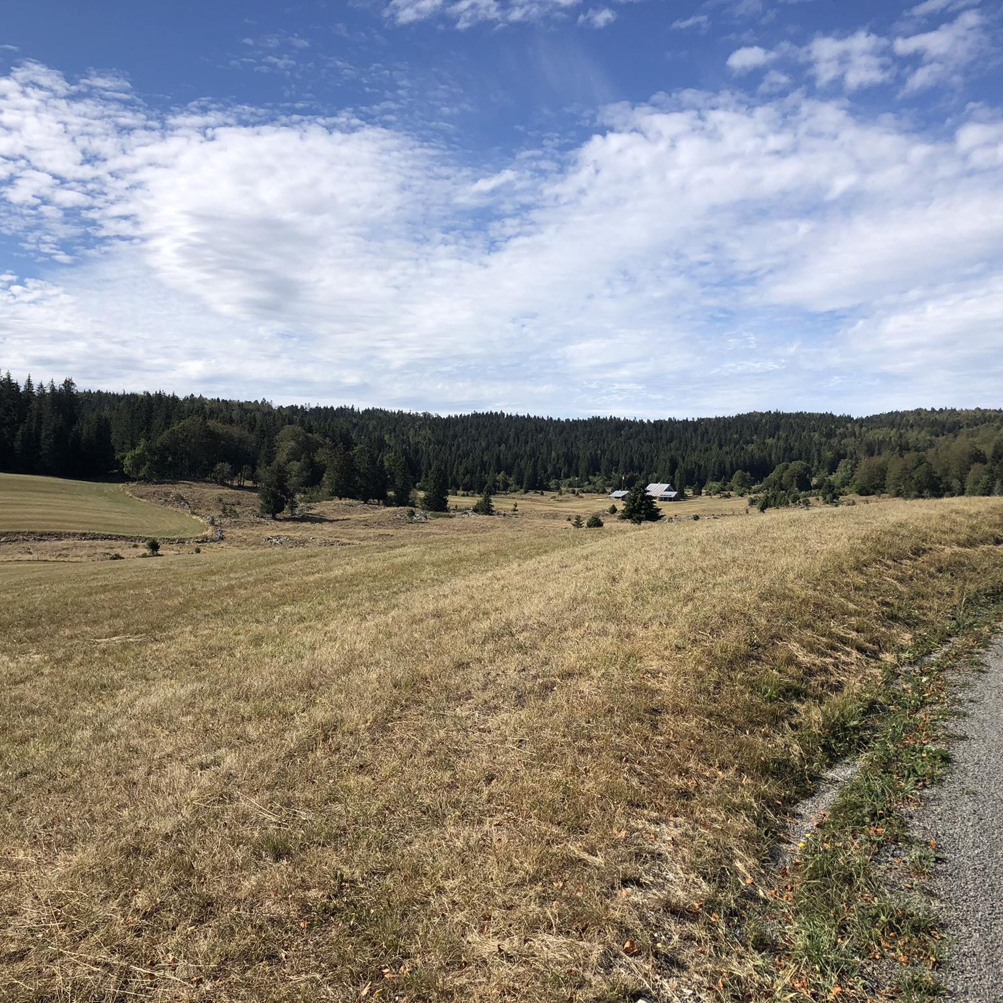
Gravel biking in Forêt Domaniale De Meyriat offers routes through diverse forest ecosystems, spanning altitudes from 590 to 1100 meters. The terrain features a mix of fir, spruce, and beech forests, alongside high-altitude limestone areas and humid valley floors. This varied landscape provides a range of conditions suitable for gravel biking, from steady ascents to winding forest paths. The region's ecological richness and historical remnants contribute to its distinct character.
Best gravel bike trails in Forêt Domaniale De Meyriat
- The…
Last updated: July 13, 2026
4.5
(2)
5
riders
23.4km
01:53
300m
300m
Moderate gravel ride. Good fitness required. Mostly paved surfaces. Suitable for all skill levels.
4.5
(2)
13
riders
39.8km
02:48
760m
760m
Hard gravel ride. Very good fitness required. You may need to push your bike for some segments of this route.

Sign up for free
3
riders
34.0km
02:31
660m
660m
Hard gravel ride. Very good fitness required. You may need to push your bike for some segments of this route.
2
riders
40.7km
02:52
770m
770m
Hard gravel ride. Very good fitness required. Mostly paved surfaces. Suitable for all skill levels.
5
riders
105km
08:09
2,430m
2,430m
Hard gravel ride. Very good fitness required. Mostly paved surfaces. Suitable for all skill levels.
Our route recommendations are based on thousands of hikes, rides, and runs completed by other people on komoot.
Start today with a free account
Your next adventure awaits.
Login or Signup
Tips from the Community

The ruin is very beautiful, panels indicate the history of the site, very instructive! Calm and relaxing, the site offers a magnificent setting and allows for nice picnic breaks!
0
0
Magnificent brown ponds, calm and relaxing, a must-see stop!
0
0

The Lac de Nantua is a superb body of water of 141 hectares. In the heart of the Jura, it offers an ideal setting for practicing a multitude of sports. It is even possible to swim in its waters.
1
0
The Peney viewpoint overlooks Lake Sylans, on which it offers a beautiful view. Classified since 1909, one can distinguish on its banks the ruins of the old ice factories which commercialized the ice extracted from the lake until 1917. The passage is located at the level of the tunnel of the same name.
0
0
The Marron ponds are named after a family from Brénod, it is not a reference to the color of the water. Only one of them remains filled with water all year round. This one served as a water reserve and fishing spot for the monks of the Meyriat abbey. In spring, a multitude of water lilies cover the surface.
0
0

Nestled in pastures at an altitude of 1,000 meters, Giron is the highest (and sunniest!) village in the Ain. Welcoming, with breathtaking views, it is ideal for an overnight stop.
0
0
Beautiful, simple, easy walk; lots of traffic noise on the "road" section, a bit of a shame, but the color of the water is magical
1
0
Frequently Asked Questions
How many gravel bike trails are available in Forêt Domaniale De Meyriat?
There are 7 gravel bike routes documented on komoot for Forêt Domaniale De Meyriat, offering a range of experiences from moderate to difficult.
What kind of terrain can I expect on the gravel bike trails?
The terrain in Forêt Domaniale De Meyriat is quite varied, spanning altitudes from 590 to 1100 meters. You'll encounter diverse forest ecosystems, including fir, spruce, and beech forests, as well as high-altitude limestone areas and humid valley floors. This provides a mix of steady climbs and winding forest paths.
Are there any challenging gravel routes for experienced riders?
Yes, the region offers several challenging routes. For instance, the Lake Genin – Lake Nantua loop from Nurieux-Volognat is a difficult 61.1 km route with over 870 meters of elevation gain, providing a significant test for experienced gravel bikers.
Are there any family-friendly options for gravel biking?
While most listed routes are moderate to difficult, the forest itself is equipped for visitors with picnic areas and informative panels, suggesting a family-friendly atmosphere. For cycling, the region research mentions marked trails like the Circuit de la Correrie and Circuit des Cascades, which are accessible to families and lead to points of interest. These might offer shorter, less technical sections suitable for family rides, though specific gravel routes for families are not explicitly detailed in the provided data.
What natural features or landmarks can I see along the trails?
Forêt Domaniale De Meyriat is rich in natural beauty. You can expect to see diverse forest ecosystems with fir, spruce, and beech trees. Notable natural features include the 'Sapin Président,' a three-century-old, 40-meter-tall fir tree. Some trails also lead to curiosities such as ponds, scenic viewpoints, and remnants of old sawmills.
Are there any routes that feature lakes or water views?
Yes, several routes incorporate lake views. The Lake Nantua – View of Lake Nantua loop from Le Chateau is a difficult 31.6 km path that offers scenic lake vistas. Another option is the Lake Nantua – Lac de Nantua loop from Brion - Montréal-la-Cluse, which also leads through diverse landscapes around Lake Nantua.
What is the best time of year for gravel biking in Forêt Domaniale De Meyriat?
The diverse forest ecosystems and varied terrain suggest that spring, summer, and autumn would all offer pleasant conditions for gravel biking, with changing foliage providing different scenic experiences. Winter riding might be possible but could involve snow or colder, wetter conditions, especially at higher altitudes.
What do other gravel bikers say about the routes in Forêt Domaniale De Meyriat?
The routes in Forêt Domaniale De Meyriat are highly rated by the komoot community, with an average score of 4.75 stars from 3 reviews. Over 40 gravel bikers have used komoot to explore the varied terrain, often praising the diverse forest landscapes and the range of difficulty levels available.
Are there any historical sites or points of interest in the forest?
Yes, the forest has historical significance. It was once a domain of the Chartreux monastic order, and some vestiges of this monastic occupation remain, contributing to a calm and tranquil atmosphere. Exploring the forest might reveal these historical remnants.
Can I find circular gravel bike routes in the area?
Many of the routes in Forêt Domaniale De Meyriat are designed as loops, offering circular experiences. For example, the Brenod plateau is a moderate loop, and the The Ascent of Apremont – Apremont wind farm loop from Brion - Montréal-la-Cluse is another difficult circular route.
What is the longest gravel bike route available?
The longest gravel bike route listed is the Lake Genin – Lake Nantua loop from Nurieux-Volognat, which spans 61.1 kilometers and typically takes around 4 hours and 40 minutes to complete.
Most popular routes in Forêt Domaniale De Meyriat

Get inspired with the komoot mobile app


Explore more
Browse the best Gravel rides in other regions.
