The best traffic-free bike rides in Forêt Domaniale De Meyriat
4.4
(127)
2,092
riders
3
rides
Forêt Domaniale De Meyriat offers diverse no traffic road cycling routes, characterized by varied topography and natural features. The region spans altitudes from 590 to 1100 meters, featuring dense beech and fir forests alongside limestone areas and humid valley bottoms. Road cyclists encounter both ascents and descents, with accessible routes traversing the forest. The landscape includes natural ponds and picturesque cascades, providing a scenic environment for cycling.
Best no traffic road cycling routes in Forêt Domaniale De Meyriat
- The most…
Last updated: July 6, 2026
5
riders
21.8km
01:11
340m
340m
Moderate road ride. Good fitness required. Mostly well-paved surfaces and easy to ride.
6
riders
32.4km
01:58
760m
760m
Moderate road ride. Good fitness required. Mostly well-paved surfaces and easy to ride.

Sign up for free
5
riders
26.5km
01:28
530m
530m
Moderate road ride. Good fitness required. Mostly well-paved surfaces and easy to ride.
4.0
(2)
23
riders
56.7km
03:33
1,460m
1,460m
Hard road ride. Very good fitness required. Some segments of this route may be unpaved and difficult to ride.
7
riders
22.8km
01:22
510m
510m
Moderate road ride. Good fitness required. Mostly well-paved surfaces and easy to ride.
Our route recommendations are based on thousands of hikes, rides, and runs completed by other people on komoot.
Start today with a free account
Your next adventure awaits.
Login or Signup
Popular around Forêt Domaniale De Meyriat

Tips from the Community

Here is the route for the ascent of the Col du Cruchon starting from Corcelles
1
0
Here is the route for the ascent of the Col de Pisseloup starting from Corcelles
1
0
Here is the route for the ascent of the Col de Pisseloup starting from Outriaz
1
0

Beautiful, simple, easy walk; lots of traffic noise on the "road" section, a bit of a shame, but the color of the water is magical
1
0
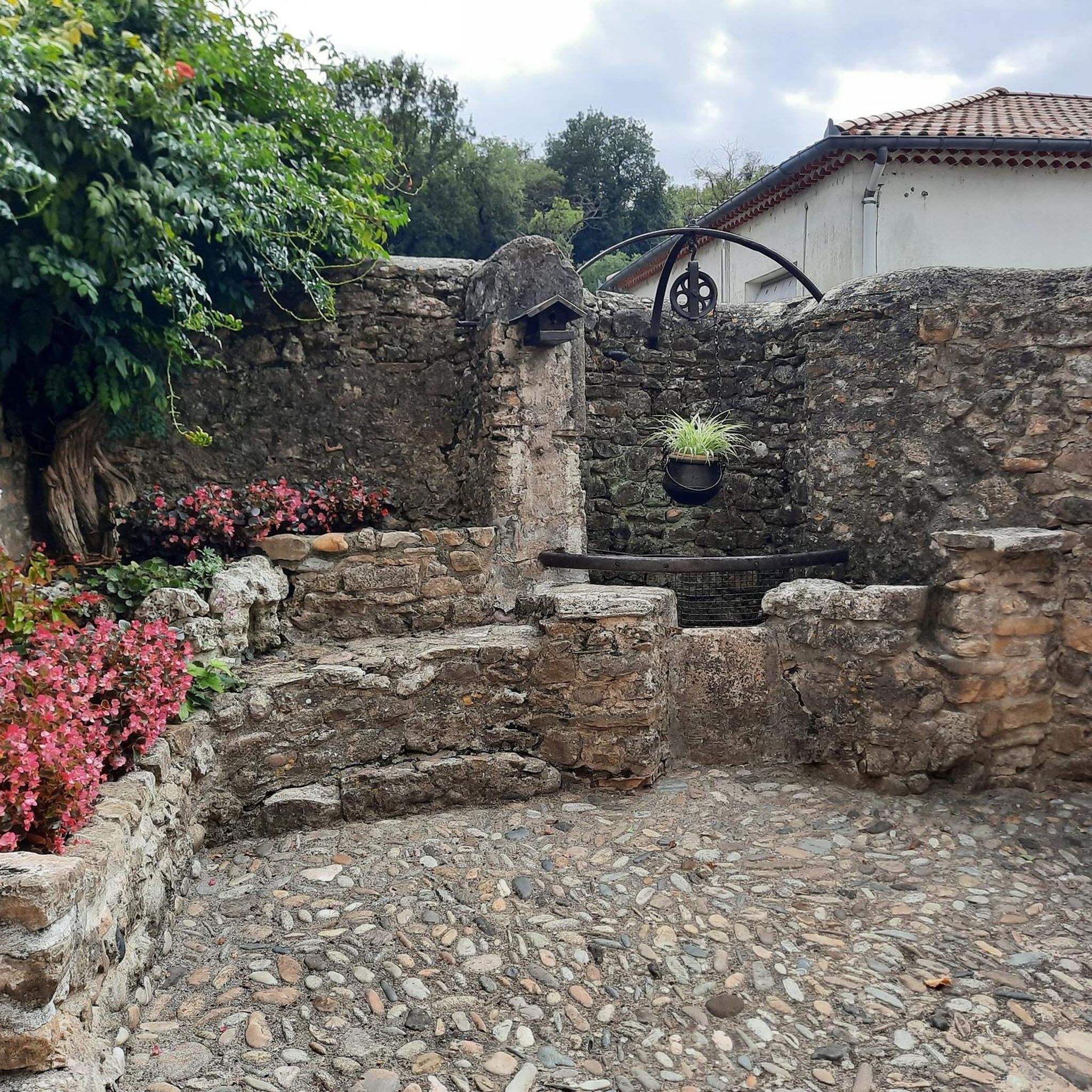
A very welcome drinking water point to fill the water bottles, in the pretty village of Brénaz.
2
0
Pretty little village to cross to go to the Grand Colombier pass
2
1

Frequently Asked Questions
How many no-traffic road cycling routes are available in Forêt Domaniale De Meyriat?
This guide features several excellent no-traffic road cycling routes within Forêt Domaniale De Meyriat, offering a range of distances and elevations. For example, you can explore the moderate Belle vue – Col du Cruchon loop from Corlier, which covers over 26 km with 525 meters of elevation gain.
What kind of terrain can I expect on these traffic-free routes?
The Forêt Domaniale De Meyriat offers a varied topography, with altitudes ranging from 590 to 1100 meters. You'll encounter both higher limestone areas and humid valley bottoms, providing stimulating ascents and descents. The routes primarily traverse forest roads and quiet country lanes, ensuring a peaceful cycling experience amidst beech, fir, and spruce trees.
Are there any challenging no-traffic road cycling routes for experienced cyclists?
Yes, for experienced cyclists seeking a challenge, routes like the Étang des Alliettes – Grand Colombier Summit loop from Haut Valromey offer significant elevation gain, with over 1450 meters of climbing over 56 kilometers. This route provides a demanding yet rewarding experience on quiet roads.
What natural features can I see along the no-traffic cycling routes?
As you cycle through the Forêt Domaniale De Meyriat, you can enjoy dense forests of beech and fir, natural ponds like the 'Brown Ponds,' and picturesque cascades. The forest is also home to unique flora such as the Martagon Lily and Blue Sesleria, and if you're lucky, you might spot protected species like the Lynx or Black Woodpecker.
Are there any historical landmarks or attractions to visit on a no-traffic road bike ride?
Absolutely. A significant point of interest is the vestiges of the ancient Carthusian monastery, the Chartreuse de Meyriat. These ruins offer a tranquil and serene atmosphere, providing a historical stop along your ride. You can find more information about the ruins on the Haut-Bugey Tourisme website.
What is the 'Sapin Président' and can I cycle to it?
The 'Sapin Président' is a remarkable 40-meter-tall fir tree, three centuries old, symbolizing a local tradition of honoring the forest's most magnificent tree. While specific cycling routes directly to it may vary, many forest roads and trails pass near or offer access to this natural monument, allowing you to incorporate a visit into your ride.
Are there any circular no-traffic road cycling routes?
Yes, many of the routes in this guide are designed as loops, allowing you to start and finish at the same point. For instance, the Col du Berthiand loop from Labalme is a moderate 44 km circuit with over 750 meters of elevation, perfect for a round trip on quiet roads.
What do other cyclists say about road cycling in Forêt Domaniale De Meyriat?
The komoot community highly rates road cycling in this area, with an average score of 4.6 stars from 132 ratings. Reviewers often praise the peaceful atmosphere, the beauty of the dense forests, and the varied terrain that makes for engaging rides away from traffic.
Is it possible to find easier, shorter no-traffic routes for a more relaxed ride?
Yes, for a more relaxed experience, you can find routes that are shorter and have moderate elevation. The Lake Genin – Lake Genin loop from Charix, for example, is a moderate 22 km route with around 513 meters of elevation, offering a pleasant ride around scenic natural features.
What is the best time of year for no-traffic road cycling in Forêt Domaniale De Meyriat?
The diverse ecosystem and varied topography make the Forêt Domaniale De Meyriat enjoyable across seasons. Spring and autumn offer pleasant temperatures and vibrant foliage, while summer provides lush greenery. Due to its characteristics as a mountain forest, be prepared for potentially harsher winters, though quiet roads can still be accessible depending on conditions.
Where can I park my car to access these no-traffic road cycling routes?
While specific parking areas for each route may vary, the Forêt Domaniale De Meyriat generally offers various access points with parking facilities, especially near trailheads and villages surrounding the forest. It's advisable to check the starting point of your chosen route for the most convenient parking options.
Most popular routes in Forêt Domaniale De Meyriat

Get inspired with the komoot mobile app


Explore more
Browse the best Road cycling routes in other regions.
