The best gravel rides around Marie
5.0
(2)
28
riders
4
rides
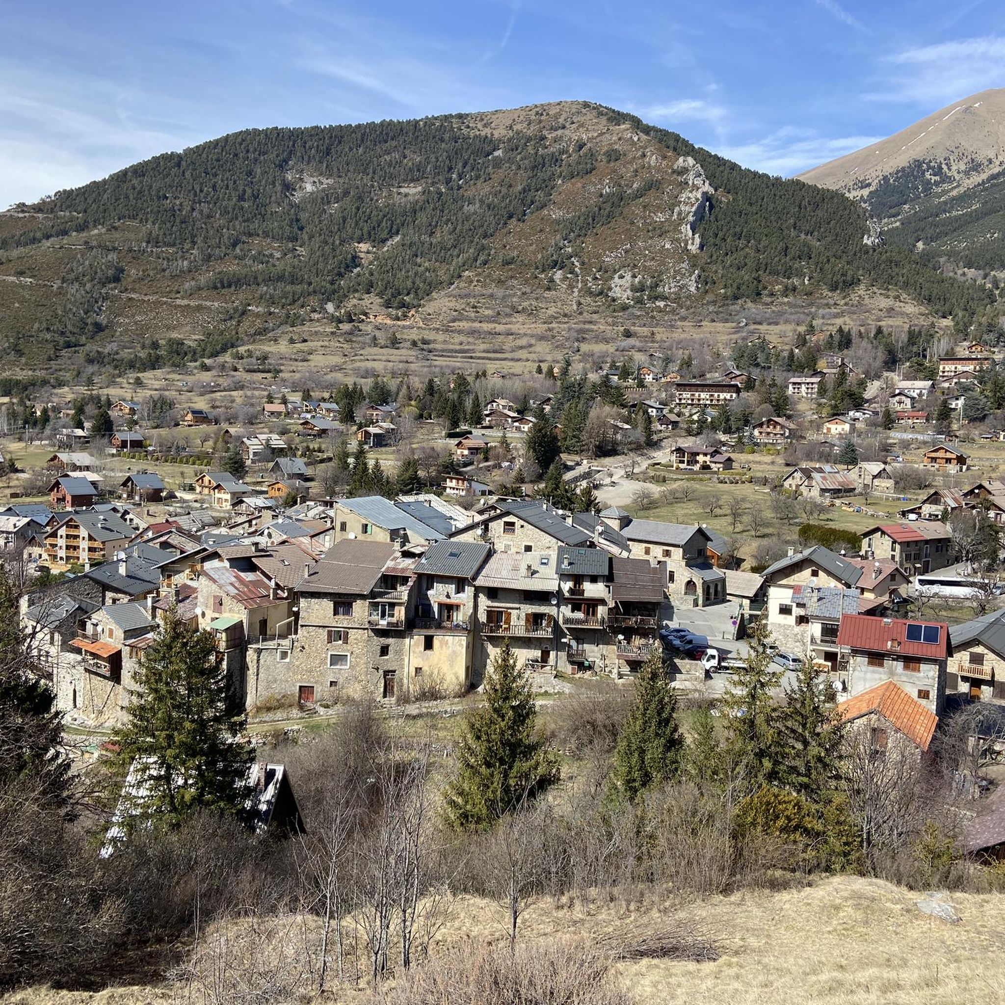
Gravel biking around Marie offers routes through a mountainous landscape characterized by significant elevation changes and scenic passes. The terrain includes challenging climbs and descents, often traversing valleys and high-altitude areas. These gravel bike trails near Marie provide opportunities for advanced gravel bikers to explore the region's diverse natural features. The area's geography is well-suited for those seeking demanding off-road cycling experiences.
Best gravel bike trails around Marie
- The most popular gravel bike trail is Col de la Colmiane –…
Last updated: July 4, 2026
5.0
(2)
12
riders
Hard gravel ride. Very good fitness required. Mostly paved surfaces. Suitable for all skill levels.
4
riders
89.6km
07:59
2,860m
2,870m
Hard gravel ride. Very good fitness required. Mostly paved surfaces. Suitable for all skill levels.

Sign up for free
3
riders
Hard gravel ride. Very good fitness required. Mostly paved surfaces. Suitable for all skill levels.
3
riders
50.6km
04:17
1,630m
1,630m
Hard gravel ride. Very good fitness required. Mostly paved surfaces. Suitable for all skill levels.
2
riders
13.1km
01:06
320m
330m
Moderate gravel ride. Good fitness required. Mostly paved surfaces. Suitable for all skill levels.
Our route recommendations are based on thousands of hikes, rides, and runs completed by other people on komoot.
Start today with a free account
Your next adventure awaits.
Login or Signup

Tips from the Community

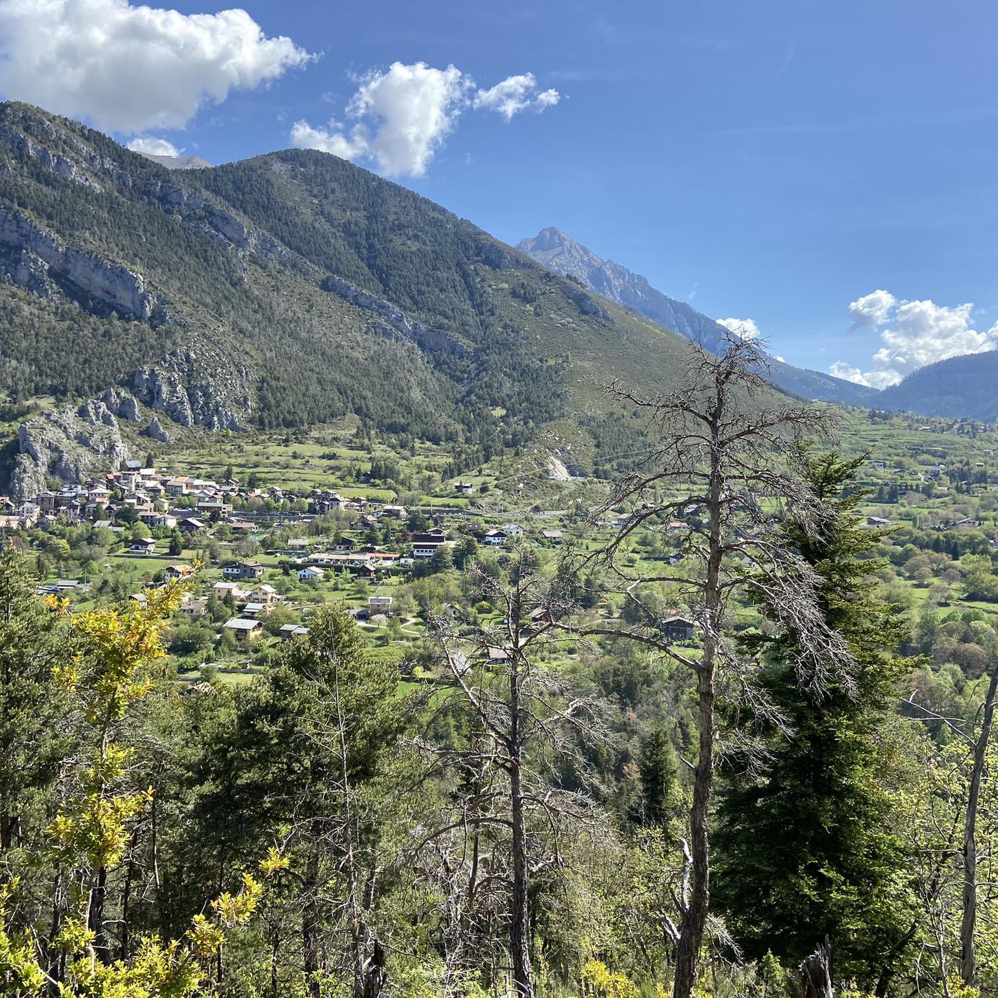
The Col de la Couillole is a mountain pass in the Massif du Mercantour-Argentera of the French Alps, situated at an altitude of 1,678 m (5,505 ft) in the Alpes-Maritimes department, France. The road connection is open for six to seven months of the year, allowing travel between the Cians gorges in the west and the Tinée valley in the east.
0
0
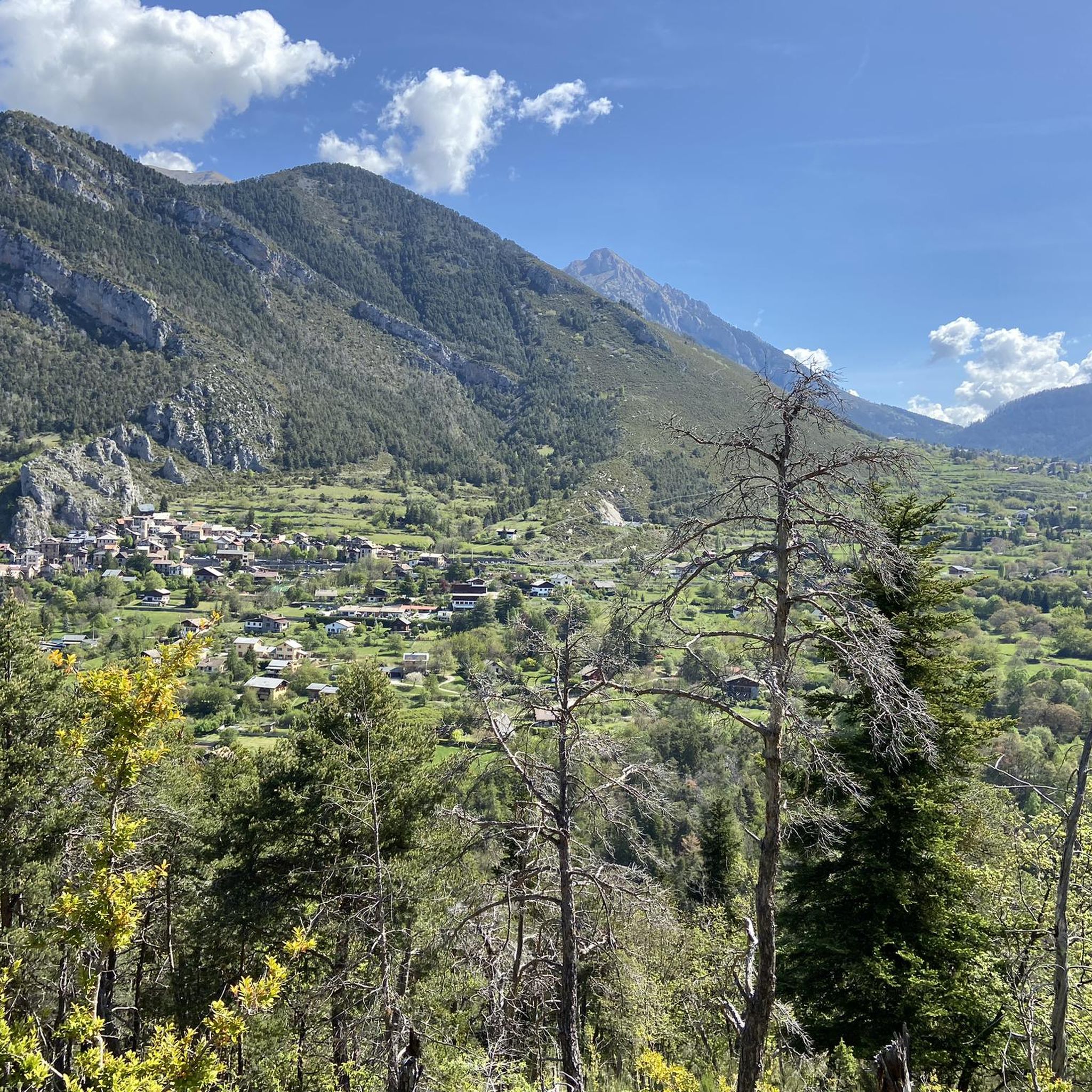
The Col Saint-Martin Pass, or Col de la Colmiane, is a mountain pass in the Southern Alps located at an altitude of 1,500 meters in the Alpes-Maritimes department of France. It provides a year-round road link between the Tinée Valley to the west and the Vésubie Valley to the east.
0
0
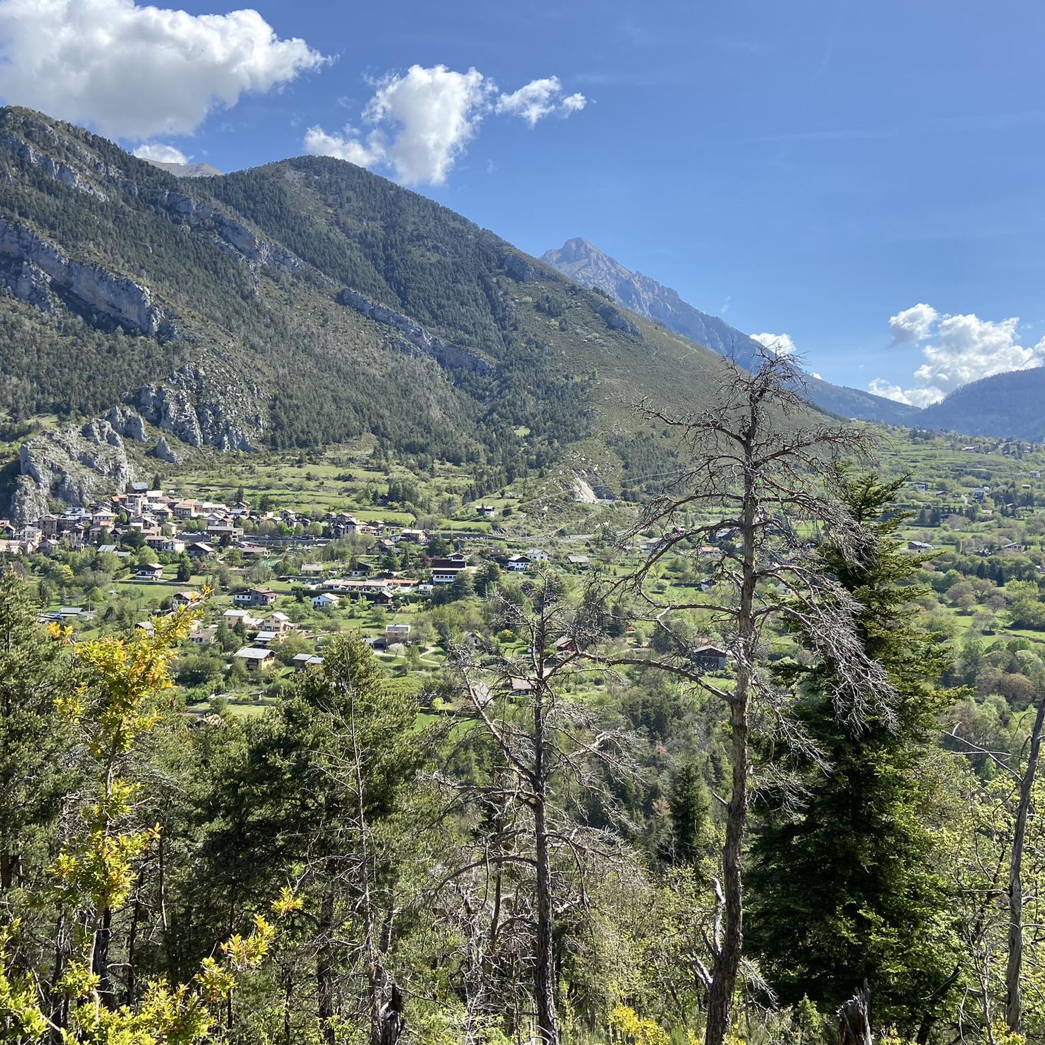
The Col Saint-Martin Pass, or Col de la Colmiane, is a mountain pass in the Southern Alps located at an altitude of 1,500 meters in the Alpes-Maritimes department of France. It provides a year-round road link between the Tinée Valley to the west and the Vésubie Valley to the east.
0
0
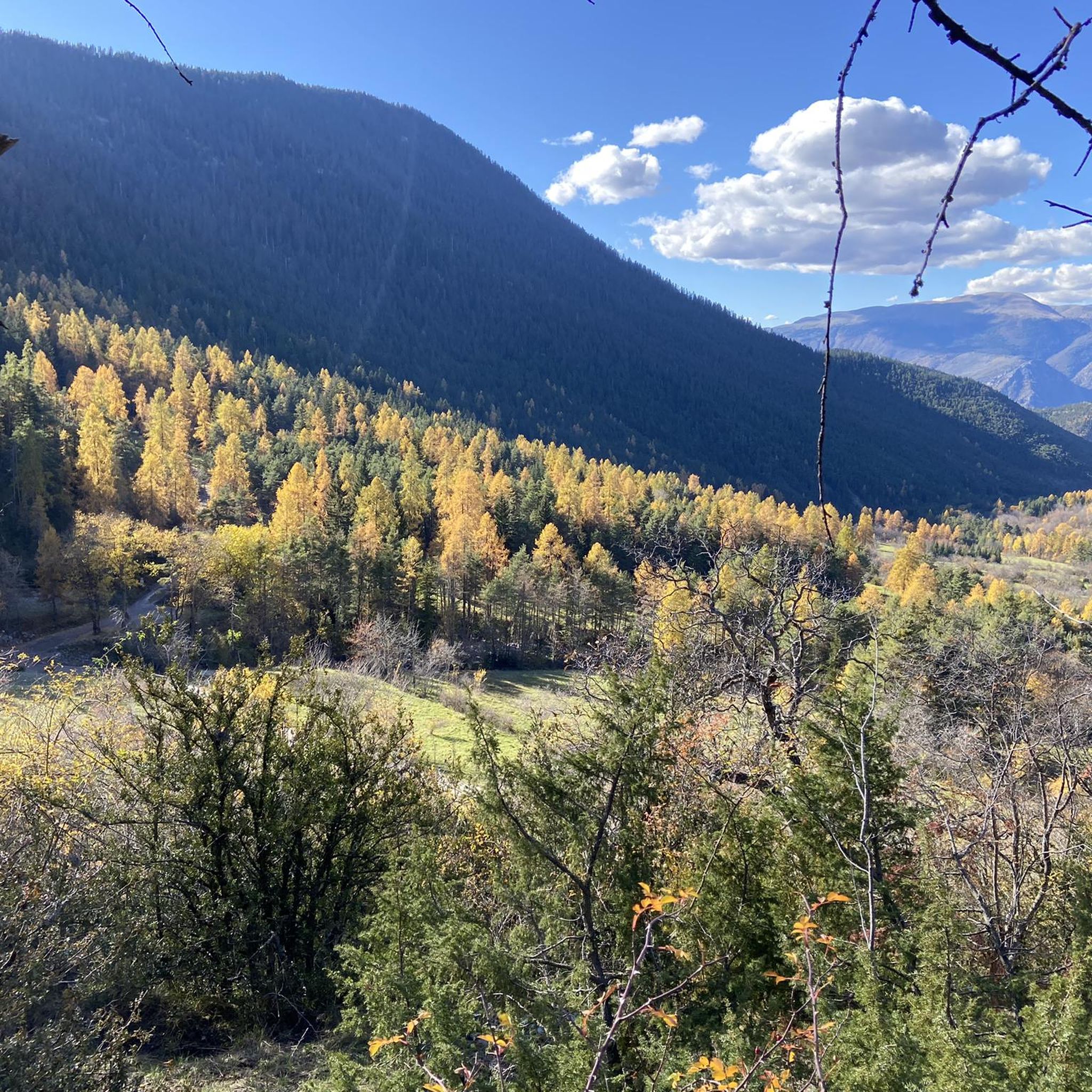
The Col Saint-Martin Pass, or Col de la Colmiane, is a mountain pass in the Southern Alps located at an altitude of 1,500 meters in the Alpes-Maritimes department of France. It provides a year-round road link between the Tinée Valley to the west and the Vésubie Valley to the east.
0
0
Col Saint Martin (el. 1500 m.) is a high mountain pass in the Alps in the department of Alpes-Maritimes in France.[1] It is traversed by the D-2205 highway.[2] The place has been crossed at the Tour de France road cycling race in 1973, 1975 and 2020, as well as at multiple editions of the Paris-Nice.
0
0
Col Saint Martin (el. 1500 m.) is a high mountain pass in the Alps in the department of Alpes-Maritimes in France.[1] It is traversed by the D-2205 highway.[2] The place has been crossed at the Tour de France road cycling race in 1973, 1975 and 2020, as well as at multiple editions of the Paris-Nice.
0
0

In July during the week there was almost no traffic, making it a completely relaxed drive up.
0
0
Currently (as of July 2025), there's a lot of excavation and construction going on here. For cycling emergencies, there's a local sports shop that carries all kinds of cycling supplies and was able to quickly help us with our bike repairs: https://sport-addict06.fr/
2
0
Frequently Asked Questions
What is the general difficulty level of gravel bike trails around Marie?
The gravel biking trails around Marie are primarily designed for advanced riders. The mountainous landscape features significant elevation changes, challenging climbs, and demanding descents, making them well-suited for those seeking a rigorous off-road cycling experience.
Are there any family-friendly gravel biking routes in Marie?
Given the challenging terrain and significant elevation changes, most gravel biking routes around Marie are not typically considered family-friendly. They are better suited for experienced riders looking for demanding climbs and descents through alpine scenery.
What kind of terrain can I expect on gravel bike trails in Marie?
You can expect a mountainous landscape with substantial elevation changes, high mountain passes, and deep valleys. The terrain often includes challenging climbs and descents, traversing both alpine areas and scenic passes.
What are some of the longer gravel bike routes available?
For a longer, challenging ride, consider the Col de la Colmiane – Saint-Martin Pass (La Colmiane) loop from Roquebillière. This route spans 55.8 miles (89.8 km) and typically takes around 9 hours 20 minutes to complete, leading through high mountain passes.
Are there any circular gravel bike routes in the Marie area?
Yes, many of the prominent gravel bike trails around Marie are circular. For example, you can explore the Col de la Colmiane – Saint-Martin Pass (La Colmiane) loop from Saint-Martin-Vésubie or the Col de la Couillole – Ascent to Col de la Couillole loop from Buisses, both offering challenging loop experiences.
What attractions can I see along the gravel bike trails in Marie?
Many routes pass by notable mountain passes and charming settlements. You might encounter highlights such as The start of Col Saint-Martin, Saint-Martin Pass (La Colmiane), or the village of Saint-Martin-Vésubie. The region is rich in scenic mountain passes.
What do other gravel bikers say about the trails in Marie?
The gravel biking routes in Marie are highly rated by the komoot community, with an average score of 5.0 stars. Riders often praise the challenging nature of the trails, the stunning alpine scenery, and the rewarding climbs through high mountain passes.
What is a good option for a challenging gravel ride with panoramic views?
The Col de la Couillole – Ascent to Col de la Couillole loop from Buisses is an excellent choice. This difficult 27.6-mile (44.5 km) path features sustained ascents and offers panoramic views of the surrounding mountains.
Are there any specific mountain passes that are popular for gravel biking in Marie?
Yes, the region is known for its mountain passes. Popular ones include Saint-Martin Pass (La Colmiane) and the area around The start of Col Saint-Martin, which are often incorporated into challenging gravel routes.
How many gravel bike trails are available in Marie?
There are several challenging gravel bike trails around Marie, with a total of 4 routes currently listed, primarily catering to advanced riders.
What is a good route for exploring the Tinée Valley?
For a route that explores the Tinée Valley, consider The start of Col Saint-Martin – Tinée Valley loop from Saint-Sauveur-sur-Tinée. This difficult route offers a significant climb and descent through the valley.
Is there a route that includes the village of Roubion?
Yes, the Col de la Couillole – Roubion loop from Saint-Sauveur-sur-Tinée is a difficult 50.6 km route that incorporates the village of Roubion, offering a substantial climbing challenge.
Most popular attractions around Marie

Get inspired with the komoot mobile app


Explore more
Browse the best Gravel rides in other regions.
