The best mountain hikes around Marie
5.0
(2)
17
hikers
3
hikes
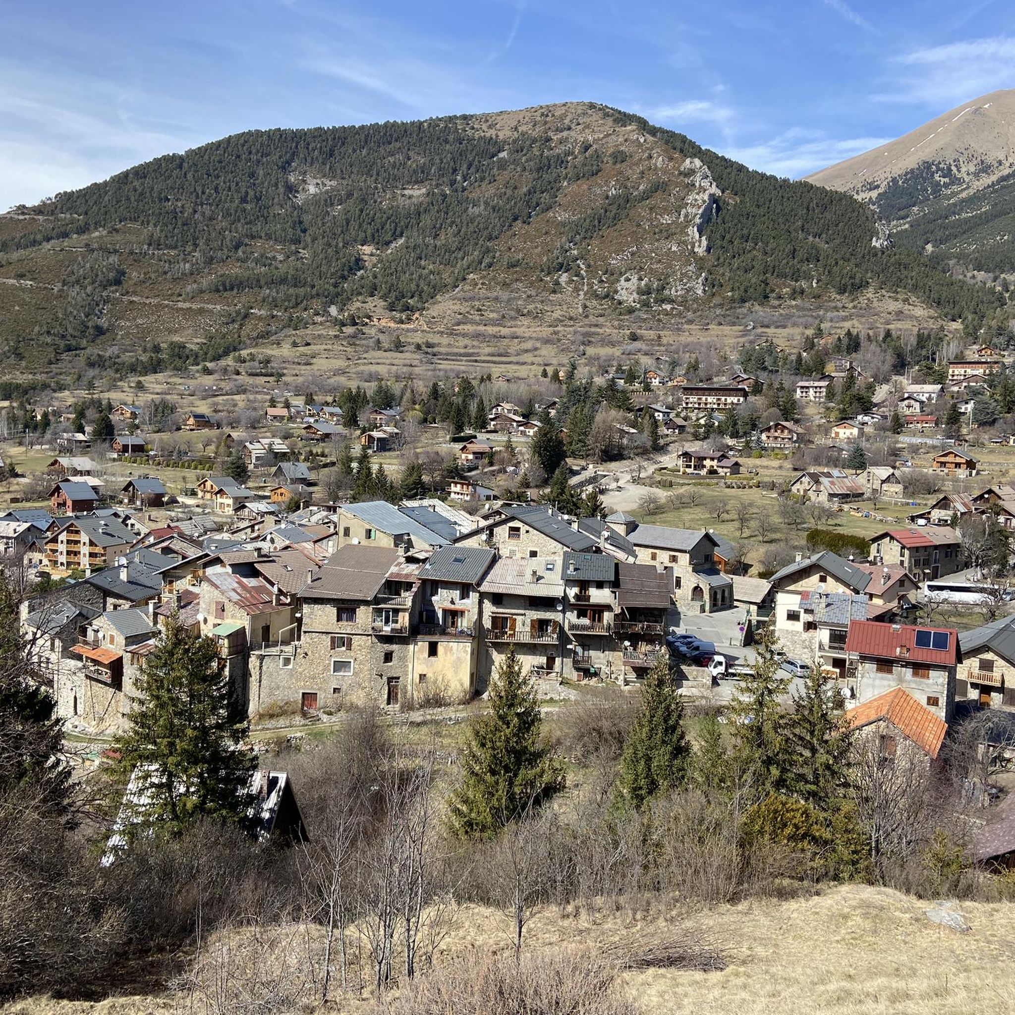
Mountaineering routes around Marie are situated in a mountainous region near Nice, offering diverse terrain for outdoor enthusiasts. The area features varied elevations and natural landscapes typical of mountain environments. These routes provide opportunities to explore the region's natural beauty through challenging ascents and scenic paths.
Best mountaineering routes around Marie
- The most popular mountaineering route is Lac Petit – Lac Rond loop from Millefonts, a 5.9 miles (9.4 km) trail that takes 4 hours 16 minutes to complete.…
Last updated: June 26, 2026
5.0
(1)
10
hikers
4.45km
03:03
480m
480m
Hard mountaineering route. Good fitness required. Sure-footedness, sturdy shoes and alpine experience required.
5.0
(1)
5
hikers
9.51km
04:19
610m
610m
Hard mountaineering route. Good fitness required. Sure-footedness, sturdy shoes and alpine experience required.

Sign up for free
2
hikers
9.17km
03:26
610m
610m
Moderate mountaineering route. Good fitness required. Easily-accessible paths. Suitable for all skill levels.
Our route recommendations are based on thousands of hikes, rides, and runs completed by other people on komoot.
Start today with a free account
Your next adventure awaits.
Login or Signup

Tips from the Community

Sale of alpine cheese in Cairo Petit
0
0

The Mille Fonds lakes are a succession of high-altitude lakes near the Col u Barn. Their deep blue enhances the panorama that some of them reveal, like Lake Long.
0
0
From the valley, you have to climb 1,700 meters of elevation gain to reach Mount Pépoiri. At 2,674 meters above sea level, the views of the Mercantour ridges are the greatest reward. The surrounding trails are neither too technical nor too rough, making it a perfect playground for trail runners.
1
0
If the southern slope of Baus de la Frema is known for its via ferrata, access from the north and east is much less technical. These trails are perfect for trail running, especially since the landscapes offered by the summit, at an altitude of 2,246 meters, are simply magnificent.
0
0

The Col des Deux Caïres peaks at an altitude of 1,921 meters, between the Tinée and Vésubie valleys. It connects Big Cairo to the east (2,087 meters above sea level) and Small Cairo to the west (1,921 meters above sea level). On Little Cairo, you can find the remains of a bunker, open to the public.
0
0

It was my first time with snow shoes, and it was a lot of fun, not dangerous. It was 4 1/2 hours
0
0

The detour via Mont Pépoiri is clearly worth the effort. The trail to the top is not too difficult. On a clear day, you will have an incredible view of the crests of the Mercantour massif. The look sometimes goes as far as Corsica.
0
0
The Col du Barn touches the clouds since you are here at 2,452 meters above sea level. You have the possibility of making a slight detour to reach the nearby Mont Pépoiri. It is located at 2,674 meters above sea level. Whether at the pass or at the top of Pepoiri, the views of the surrounding mountains are exceptional.
1
0
Frequently Asked Questions
What is the general difficulty level of mountaineering routes around Marie?
Mountaineering routes in Marie range from moderate to difficult. For instance, the Pass of the Two Caïres – Saint Dalmas loop from Saint-Dalmas is considered moderate, while routes like the Lac Petit – Lac Rond loop from Millefonts and Baus de la Frema loop from Col Saint-Martin present a more challenging, difficult ascent.
Are there any family-friendly mountaineering routes in Marie?
Given the mountainous terrain and significant elevation changes, most mountaineering routes around Marie are rated moderate to difficult. While there isn't a specific 'easy' route, the Pass of the Two Caïres – Saint Dalmas loop from Saint-Dalmas is the most accessible option, rated as moderate. It's always best to assess the fitness and experience level of all family members before embarking on any mountaineering tour.
How long do mountaineering trails typically take to complete in Marie?
The duration of mountaineering trails in Marie varies depending on the route and your pace. For example, the Baus de la Frema loop from Col Saint-Martin can be completed in about 3 hours 18 minutes, while the longer Lac Petit – Lac Rond loop from Millefonts typically takes around 4 hours 16 minutes.
What kind of landscapes can I expect on mountaineering routes around Marie?
Mountaineering routes around Marie are characterized by diverse mountainous landscapes, featuring varied elevations and typical alpine environments. You'll encounter scenic paths with significant elevation gains, offering rewarding mountain views, especially on routes like the Baus de la Frema loop from Col Saint-Martin.
Are there any circular mountaineering routes available in Marie?
Yes, several mountaineering routes in Marie are circular, allowing you to start and end at the same point. Examples include the Lac Petit – Lac Rond loop from Millefonts, the Baus de la Frema loop from Col Saint-Martin, and the Pass of the Two Caïres – Saint Dalmas loop from Saint-Dalmas.
What are some interesting landmarks or attractions near the mountaineering routes in Marie?
The region around Marie offers several notable points of interest. You can explore various mountain passes such as The start of Col Saint-Martin, Saint-Martin Pass (La Colmiane), and the Pass of the Two Caïres. The charming settlement of Saint-Martin-Vésubie is also nearby, offering a glimpse into local life.
What do other mountaineers say about the routes in Marie?
The mountaineering routes in Marie are highly regarded by the komoot community, holding an average rating of 5.0 stars from over 2 reviews. Mountaineers often praise the challenging ascents and the natural beauty of the alpine landscapes.
Are there options for advanced mountaineers in Marie?
Yes, advanced mountaineers will find challenging options in Marie. Two of the three featured routes, the Lac Petit – Lac Rond loop from Millefonts and the Baus de la Frema loop from Col Saint-Martin, are rated as difficult, featuring significant elevation gains and demanding terrain suitable for experienced individuals.
What is the best time of year for mountaineering in Marie?
While specific seasonal details are not provided, mountaineering in alpine regions like Marie is generally best enjoyed during the warmer months, typically from late spring to early autumn, when trails are clear of snow and weather conditions are more stable. Always check local weather forecasts before heading out.
What should I wear for mountaineering in Marie?
Given the varied elevations and alpine landscapes around Marie, it's essential to dress in layers. Always bring appropriate mountaineering boots, waterproof and windproof outer layers, and gear suitable for changing mountain weather conditions. Don't forget sun protection, plenty of water, and navigation tools.
Are there any specific permits required for mountaineering in Marie?
The provided data does not indicate any specific permits required for the listed mountaineering routes in Marie. However, it's always advisable to check with local authorities or visitor centers for the most up-to-date information on regulations, especially if you plan to venture into protected areas.
What are the typical elevation gains on mountaineering routes in Marie?
Mountaineering routes in Marie feature significant elevation changes. For example, the Lac Petit – Lac Rond loop from Millefonts involves an elevation gain of over 600 meters, and the Pass of the Two Caïres – Saint Dalmas loop from Saint-Dalmas also has an ascent of over 600 meters.
Most popular attractions around Marie

Get inspired with the komoot mobile app


Explore more
Browse the best Mountain Hikes & Routes in other regions.
