The best mountain hikes around Loisieux
4.9
(7)
39
hikers
2
hikes
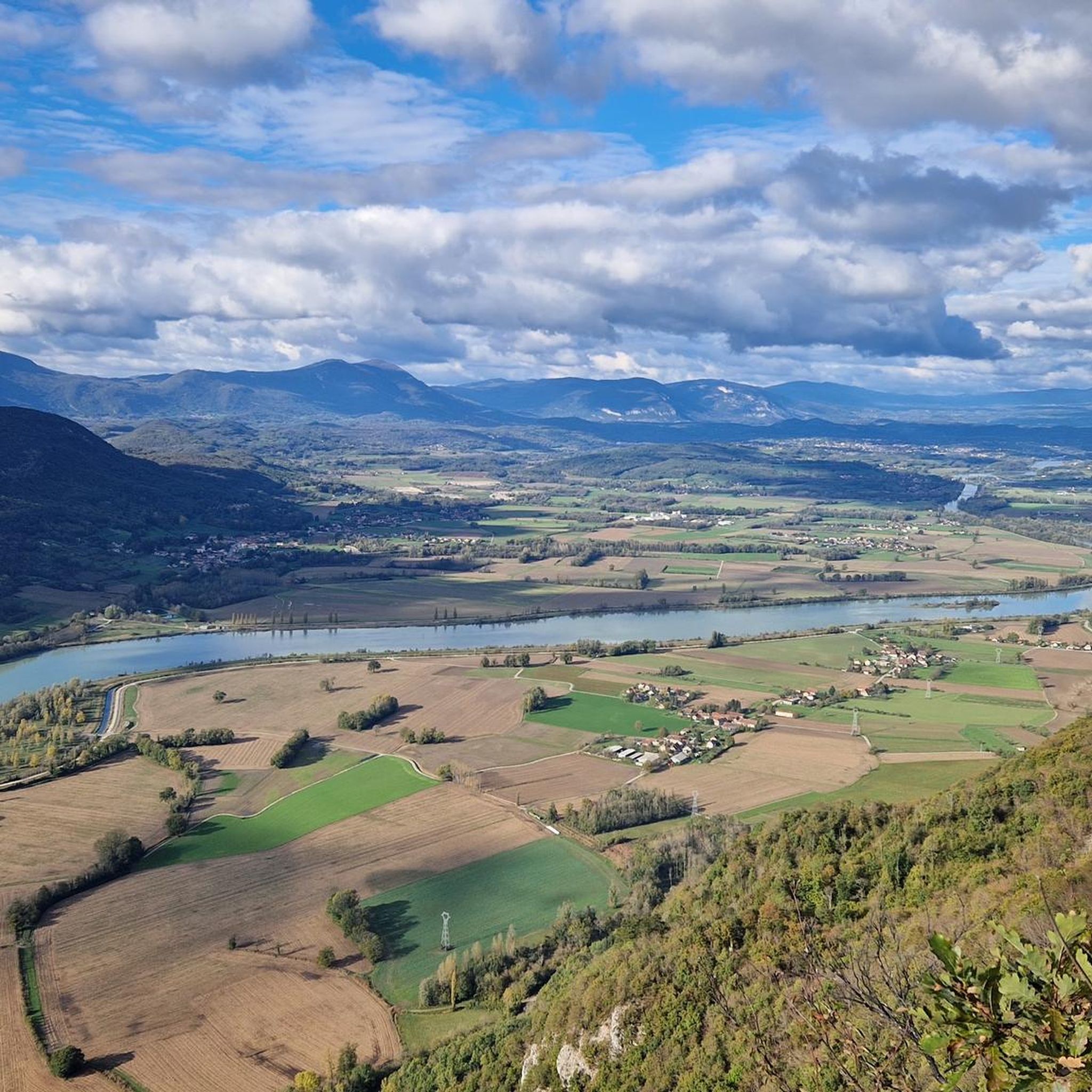
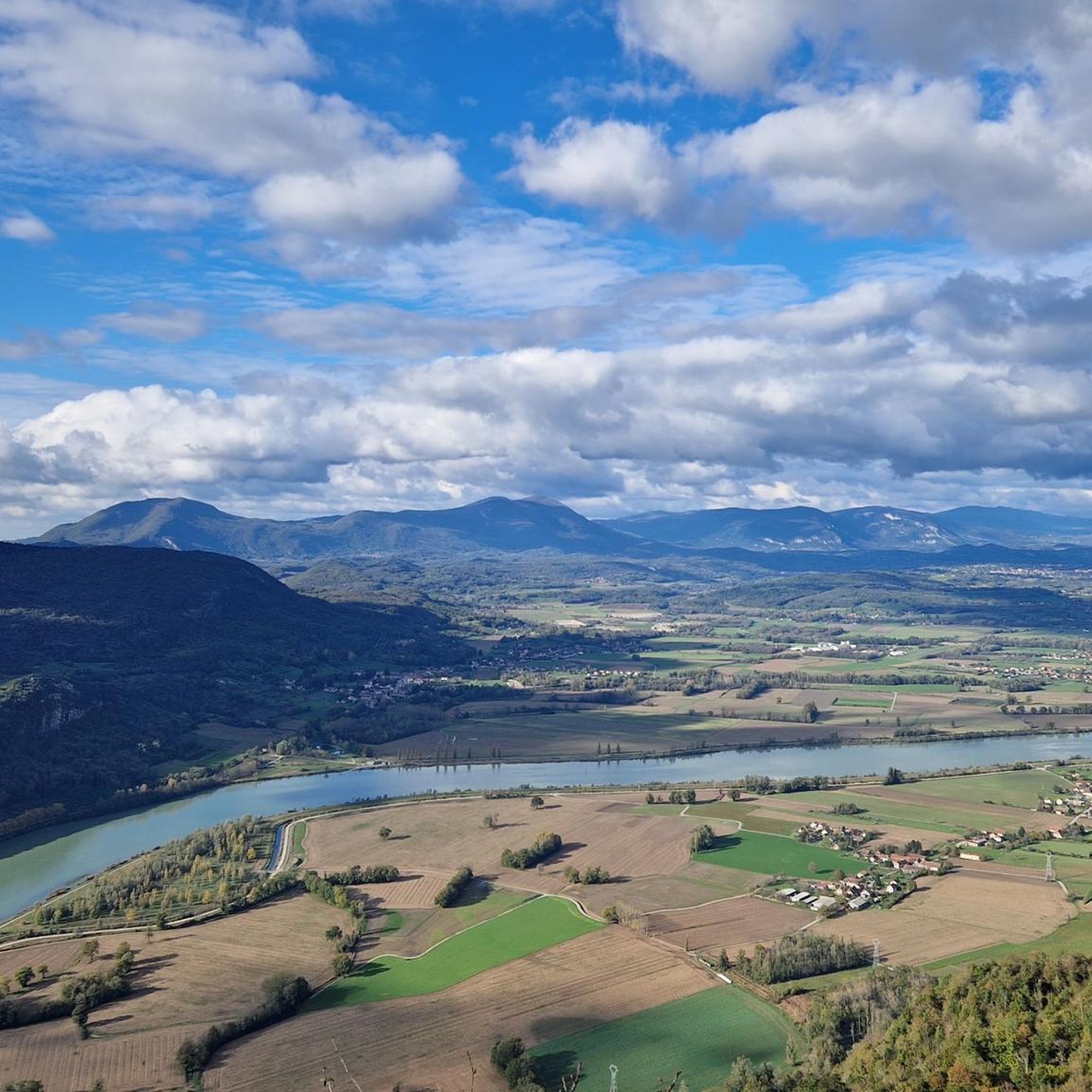
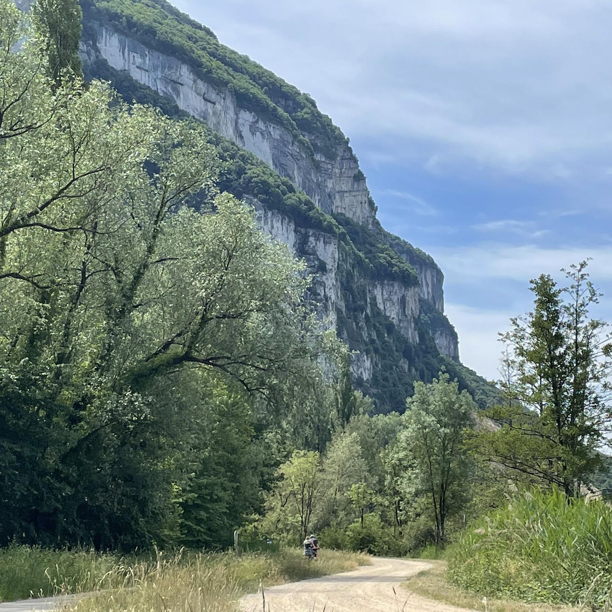
Mountaineering routes around Loisieux traverse a landscape characterized by hills, forests, and agricultural areas within the Savoie department of France. The region offers challenging mountain hikes with panoramic views of the Rhône River, the Mont du Chat, and the Savoyard foothills. While not a hub for technical mountaineering, its terrain provides strenuous activity in a mountainous environment, including significant elevation gains. The area features diverse flora and fauna, enhancing the outdoor experience.
Best mountaineering routes around Loisieux
- The most popular…
Last updated: July 1, 2026
4.5
(4)
23
hikers
7.43km
04:00
660m
660m
Hard mountaineering route. Good fitness required. Sure-footedness, sturdy shoes and alpine experience required.
5.0
(1)
8
hikers
4.51km
01:31
180m
180m
Moderate mountaineering route. Great for any fitness level. Mostly accessible paths. Sure-footedness required.

Sign up for free
5.0
(1)
4
hikers
8.30km
03:10
550m
550m
Hard mountaineering route. Good fitness required. Sure-footedness, sturdy shoes and alpine experience required.
2
hikers
14.8km
06:13
1,010m
1,010m
Hard mountaineering route. Very good fitness required. Sure-footedness, sturdy shoes and alpine experience required.
5.0
(1)
2
hikers
8.97km
03:23
450m
450m
Moderate mountaineering route. Good fitness required. Mostly accessible paths. Sure-footedness required.
Our route recommendations are based on thousands of hikes, rides, and runs completed by other people on komoot.
Start today with a free account
Your next adventure awaits.
Login or Signup

Tips from the Community

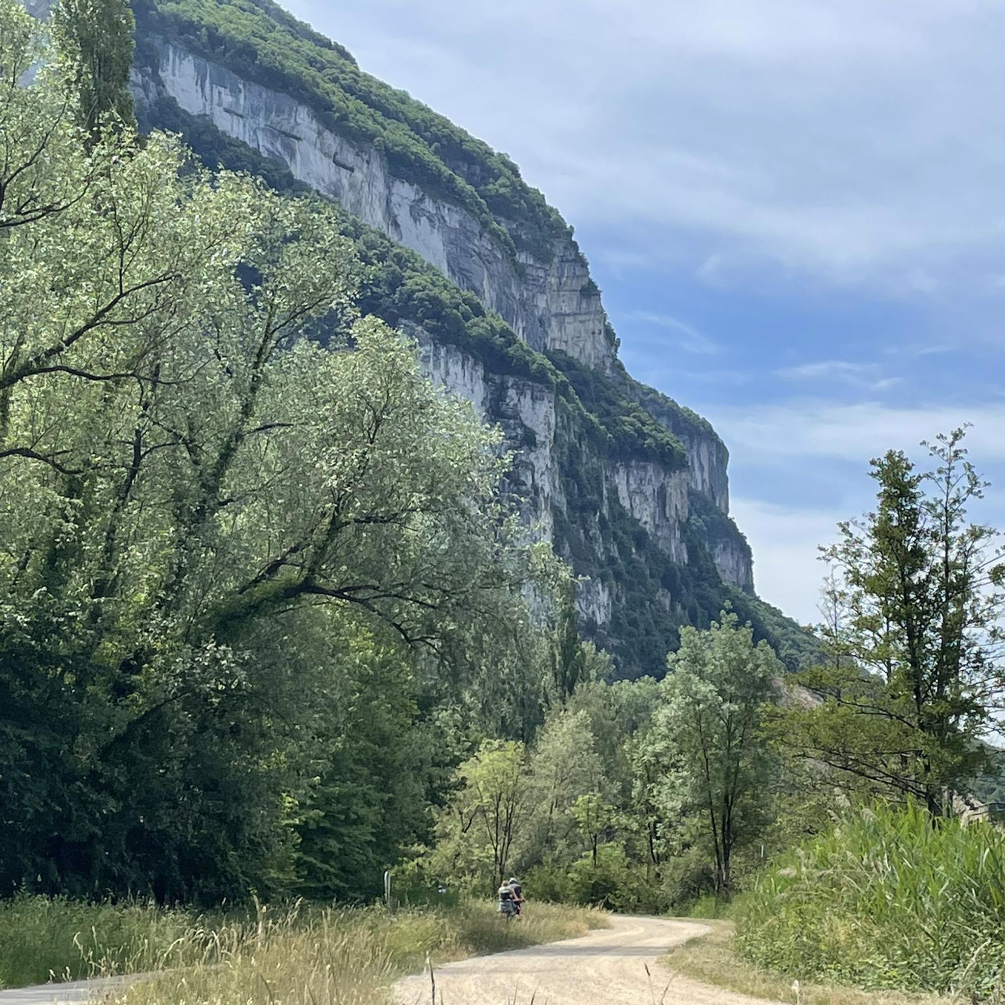
Panoramic view, over the Savoyard pre-Alps, the lake, the Dent du Chat, le Revard, Croix du Nivollet and in clear weather even as far as Mont Blanc! The route does not require any particular physical condition but requires vigilance to place your feet well in order to avoid rocks and roots on the path.
0
0


Beautiful view of the lake.
0
0
Beautiful view of the lake.
0
0

It's a must-see place with a magnificent view of Lake Bourget.
1
0

Aerial passage via ladders with gas, not recommended for beginners. Avoid summer weekends, as crowded conditions can cause traffic jams.
0
0

Great lake view with mountains, start of the Tunnel du Chat for cyclists.
0
0
Frequently Asked Questions
How many mountaineering routes can I explore around Loisieux?
There are around 5 distinct mountaineering routes detailed for the Loisieux area, offering a range of experiences from moderate to difficult.
Are there any beginner-friendly mountaineering routes in Loisieux?
Yes, for those seeking a less strenuous experience, the Lamartine Cave – View of Lake Bourget loop from Bourdeau is classified as moderate. This route provides beautiful views of Lac du Bourget and passes by the Lamartine Cave.
What kind of views can I expect on the mountaineering routes around Loisieux?
The routes offer breathtaking panoramic views of the Rhône River, the Mont du Chat, and the Savoyard foothills. Specific viewpoints like the Belvédère du Site des Fils on Mont Tournier provide expansive vistas of the Rhône's meanders, the Grand Thur, and the Grand Colombier.
Are there any circular mountaineering routes in the Loisieux area?
Yes, many of the routes are designed as loops. For example, the Col du Chat (Chat Pass) – Cat's Tooth loop from Bourdeau is a popular circular trail that takes you through mountainous terrain.
What are some interesting landmarks or attractions I might see along the routes?
You can discover various points of interest. The Lamartine Cave – View of Lake Bourget loop from Bourdeau passes by the Lamartine Cave. Other routes might offer views of the Col du Chat (638 m) or the Lake Bourget.
What is the best time of year for mountaineering in Loisieux?
The region is enjoyable throughout the warmer months. In autumn, the paths reveal diverse flora and fauna, and you can find chestnut and walnut trees, adding to the scenic beauty.
What do other mountaineers enjoy most about the routes in Loisieux?
The komoot community highly rates the routes, with an average score of 4.8 stars. Reviewers often praise the challenging nature of the hikes, the significant elevation gains, and the rewarding panoramic views of the Rhône River and surrounding mountains.
Are there any routes that offer a wilder, more off-trail experience?
Yes, for those seeking a more adventurous and wilder experience, a circular route on Mont de la Charvaz via the southern ridge is considered difficult and largely off-trail, providing a unique challenge.
Can I find routes with significant elevation gain for a more strenuous workout?
Absolutely. Many routes in the Loisieux area feature significant elevation gains. For instance, the Col du Chat (638 m) – Roc du Cornillon viewpoint loop from Bourdeau is a difficult route with over 1000 meters of ascent, offering a demanding and rewarding experience.
What kind of natural features can I expect to see on the trails?
The hiking paths reveal diverse flora and fauna, and the region is known for its geological interest, including features like the Pic du Lizieux, a volcanic formation with unique phonolite rock.
Are there any routes that pass by mountain passes?
Yes, the area includes mountain passes like Col du Chat and Col de l'Épine, which offer fantastic views during their ascents and are often incorporated into longer routes.
Are there any routes that offer views of the Gorges de la Balme or historical sites?
Hikes on the heights of Yenne can lead to views of the Gorges de la Balme, Château de Pierre Châtel, and Fort les Bancs, combining natural beauty with historical interest.
Most popular routes around Loisieux
Most popular attractions around Loisieux

Get inspired with the komoot mobile app


Explore more
Browse the best Mountain Hikes & Routes in other regions.
