The best cycling routes around Loisieux
4.5
(839)
7,972
riders
130
rides
Touring cycling routes around Loisieux are situated in the Savoie department of the Auvergne-Rhône-Alpes region, characterized by hills, low mountains, and moderate high mountains with elevations ranging from 360 to 860 meters. The area offers a diverse terrain for cyclists, including agricultural landscapes, valleys, and proximity to Lac du Bourget. This region provides access to a network of signposted cycle routes, greenways, and cycle paths, catering to various skill levels.
Best touring cycling routes around Loisieux
- The most popular touring…
Last updated: July 4, 2026
4.6
(27)
219
riders
24.8km
01:25
60m
60m
Easy bike ride. Great for any fitness level. Mostly paved surfaces. Suitable for all skill levels.
4.6
(8)
73
riders
48.2km
03:27
1,010m
1,010m
Hard bike ride. Very good fitness required. Mostly paved surfaces. Suitable for all skill levels.

Sign up for free
4.0
(2)
21
riders
27.7km
01:52
440m
440m
Moderate bike ride. Good fitness required. Mostly paved surfaces. Suitable for all skill levels.
26
riders
24.8km
01:39
310m
310m
Moderate bike ride. Good fitness required. Mostly paved surfaces. Suitable for all skill levels.
4.0
(2)
20
riders
Hard bike ride. Very good fitness required. Mostly paved surfaces. Suitable for all skill levels.
Get access to more routes and recommendations from other explorers.
Sign up for free
Already have an account?
Our route recommendations are based on thousands of hikes, rides, and runs completed by other people on komoot.
Start today with a free account
Your next adventure awaits.
Login or Signup


Tips from the Community

With great views no car traffic
0
0

Very nice cyclist bridge over the Rhône. It could become slippery in icy and wet conditions.
0
0
Nice bridge, but the road is very busy and the gorge is not enjoyable. A sensible solution should be found here soon. This section was not fun.
0
0
Beautiful bridge, but the road is very busy and the gorge is not enjoyable. A sensible solution should be found soon.
0
0


Nice little rest area at the ViaRhôna.
1
0
A variant of the ViaRhôna runs along here. The section from Yenne to La Balme is not for connoisseurs.
1
0
Frequently Asked Questions
What kind of terrain can I expect when touring cycling around Loisieux?
The Loisieux area offers a diverse landscape for touring cyclists. You'll find a mix of hills, low mountains, and moderate high mountains, with elevations ranging from 360 to 860 meters. The routes often traverse picturesque agricultural lands, river valleys, and offer proximity to the stunning Lac du Bourget. This varied topography provides options from gentle gradients along rivers to more challenging climbs.
How many touring cycling routes are available in the Loisieux area?
There are over 140 touring cycling routes around Loisieux, catering to various skill levels. This includes 34 easy routes, 49 moderate routes, and 57 difficult routes, ensuring there's something for every cyclist.
Are there any easy, family-friendly touring cycling routes near Loisieux?
Yes, there are several easy routes suitable for families. One popular option is the Campsite by the River loop from Murs-et-Gélignieux, an easy 24.8 km trail with gentle gradients along the river. Another great choice is the Beautiful view over the Rhône – Groslée Bridge loop from Murs-et-Gélignieux, an easy 31.7 km path offering scenic views over the Rhône river.
What are some challenging touring cycling routes around Loisieux?
For those seeking a challenge, the region offers routes with significant elevation changes. The Pont du Guiers and Fish Ladder – Rochefort Cliffs loop from Champagneux is a difficult 29.3 km trail leading through varied terrain with notable cliffs. Another demanding option is the View of the Balme bridge – Virignin la Balme footbridge loop from Saint-Maurice-de-Rotherens, a difficult 39.9 km route with over 760 meters of elevation gain.
What notable natural features or viewpoints can I discover along the cycling routes?
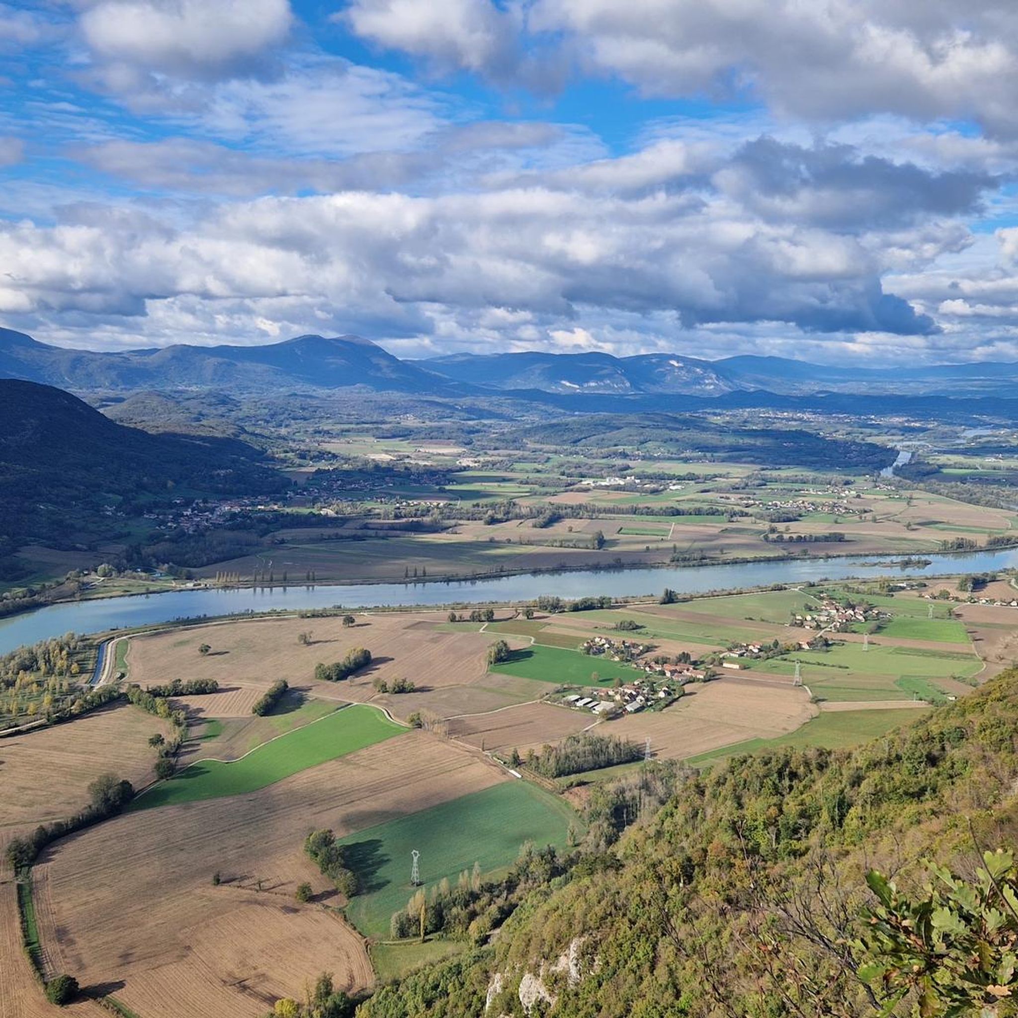
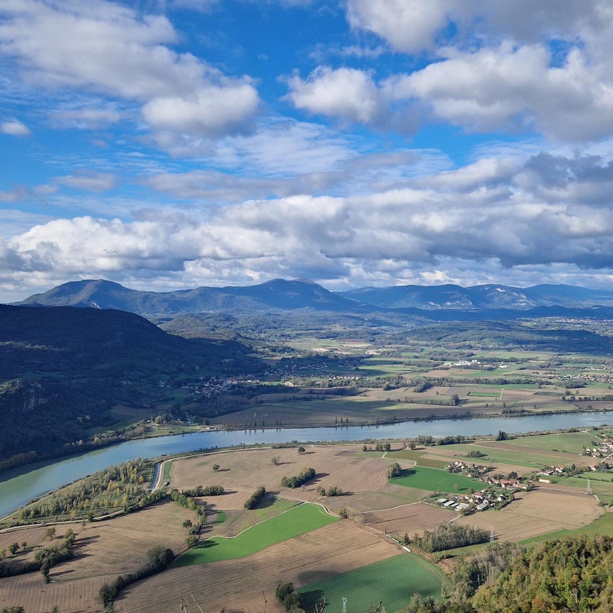
The area is rich in natural beauty and viewpoints. You can enjoy panoramic views of the Rhône river's meanders, the Jura, Savoie, and Ain departments from the Belvédère du Site des Fils. Many routes offer glimpses of the 'last links of the Jura' and the picturesque agricultural landscape. The proximity to Lac du Bourget also means stunning lakeside views, such as those from Pierre Nioule – View of Lake Bourget and Aix-les-Bains.
Are there any major long-distance cycle routes accessible from Loisieux?
Yes, Loisieux is strategically located near significant long-distance cycle routes. It's close to the ViaRhôna (EuroVelo 17), which connects Lake Geneva to the Mediterranean Sea. Additionally, La Belle Via, another major route in the Auvergne-Rhône-Alpes region, passes through Savoie and links with the ViaRhôna, offering easy cycling along Lac du Bourget.
What do other touring cyclists enjoy most about cycling in Loisieux?
The area is highly rated by the komoot community, with an average score of 4.4 stars from over 770 reviews. Reviewers often praise the diverse terrain, from gentle river paths to challenging mountain passes, and the beautiful scenic views, especially those overlooking the Rhône river and Lac du Bourget. The well-maintained network of signposted cycle routes is also frequently highlighted.
Are there any lakes or mountain passes to explore by bike near Loisieux?
Absolutely. The region is home to several beautiful lakes, including Lake Bourget (France's largest natural lake), Lac d'Aiguebelette, and Lac de Barterand. For those who enjoy climbing, there are several mountain passes nearby, such as Col du Chat (638 m), Épine Pass, and Col du Banchet.
What is the best season for touring cycling around Loisieux?
The diverse landscape of Loisieux makes it enjoyable across multiple seasons. Spring and autumn offer pleasant temperatures and beautiful scenery, with the possibility of a spectacular 'sea of clouds' in fall and winter from viewpoints like Belvédère du Site des Fils. Summer is also popular, especially for lakeside cycling, though some mountain ascents might be more challenging in warmer weather.
Are there any routes that include an off-road section for a different cycling experience?
Yes, for cyclists looking for a mix of terrain, the Offroad section – Turquoise Lake Loop loop from Gerbaix is a moderate 24.8 km route that incorporates an off-road segment, offering a varied and engaging cycling experience.
Can I find circular touring cycling routes in the Loisieux area?
Many of the touring cycling routes around Loisieux are designed as loops, allowing you to start and end your journey in the same location. Examples include the Campsite by the River loop from Murs-et-Gélignieux and the Beautiful view over the Rhône – Groslée Bridge loop from Murs-et-Gélignieux, both offering convenient circular options.
Most popular routes around Loisieux
Most popular attractions around Loisieux

Get inspired with the komoot mobile app


Explore more
Browse the best Cycling routes in other regions.
