The best gravel rides around Charbonnières-Les-Sapins
4.4
(18)
120
riders
25
rides
Gravel biking around Charbonnières-Les-Sapins offers diverse terrain within the Doubs department of France. The region is characterized by the Besançon hills and the initial foothills of the Jura Mountains, providing varied landscapes for cycling. Riders can expect a mix of forest trails, country lanes, and winding roads, with elevations ranging from approximately 400 to 583 meters. This area is suitable for exploring natural features such as the Source de la Loue and the surrounding Jurassic limestone plateau.
Best gravel bike…
Last updated: July 16, 2026
4.7
(3)
13
riders
28.9km
02:09
300m
300m
Moderate gravel ride. Good fitness required. Mostly paved surfaces. Suitable for all skill levels.
4.7
(3)
12
riders
29.5km
02:01
410m
410m
Moderate gravel ride. Good fitness required. Mostly paved surfaces. Suitable for all skill levels.

Sign up for free
10
riders
83.8km
06:42
1,620m
1,620m
Hard gravel ride. Very good fitness required. Mostly paved surfaces. Suitable for all skill levels.
3.0
(1)
6
riders
52.4km
03:25
710m
710m
Hard gravel ride. Very good fitness required. Mostly paved surfaces. Suitable for all skill levels.
4.7
(3)
13
riders
32.1km
02:23
360m
360m
Hard gravel ride. Good fitness required. You may need to push your bike for some segments of this route.
Get access to more routes and recommendations from other explorers.
Sign up for free
Already have an account?
Our route recommendations are based on thousands of hikes, rides, and runs completed by other people on komoot.
Start today with a free account
Your next adventure awaits.
Login or Signup
Tips from the Community

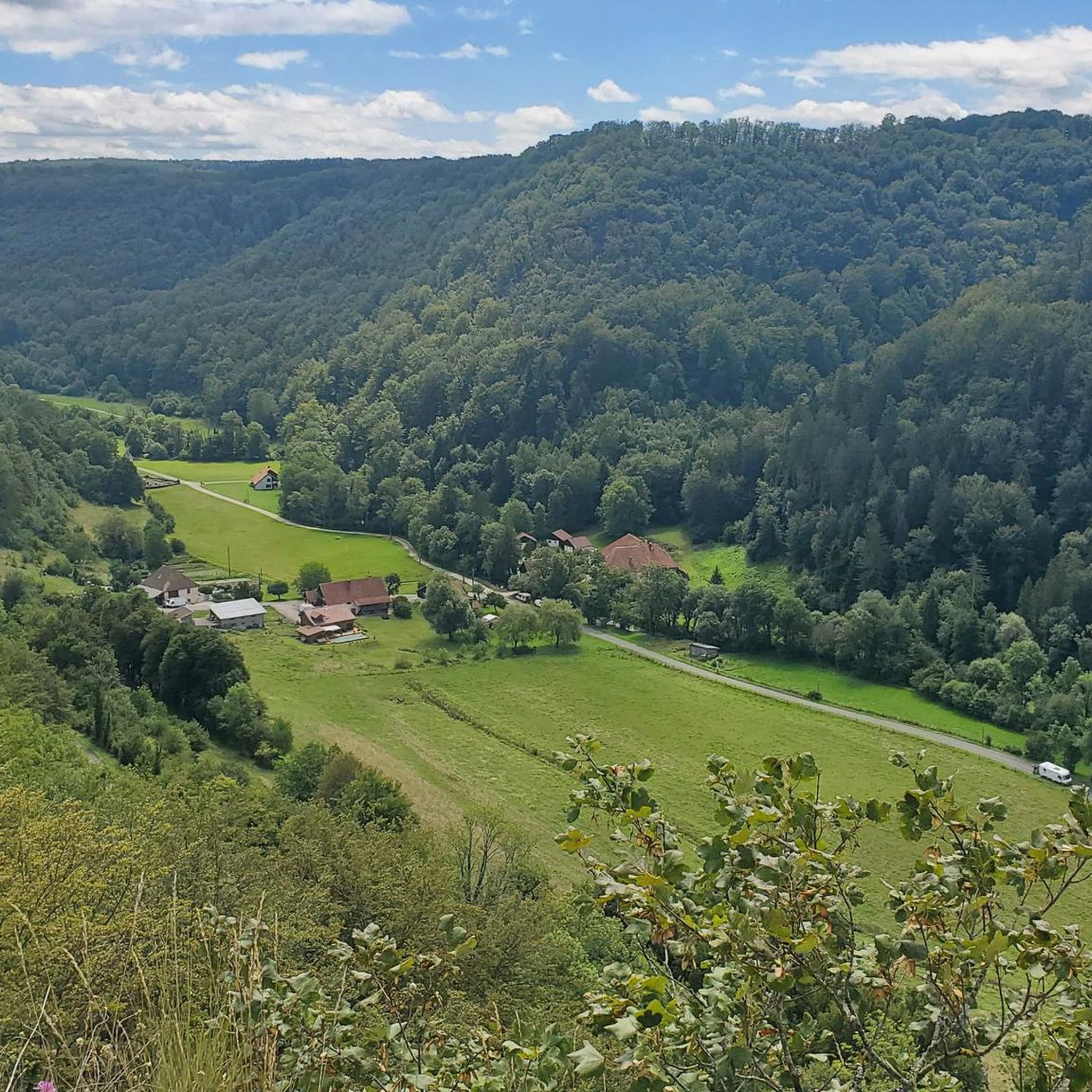
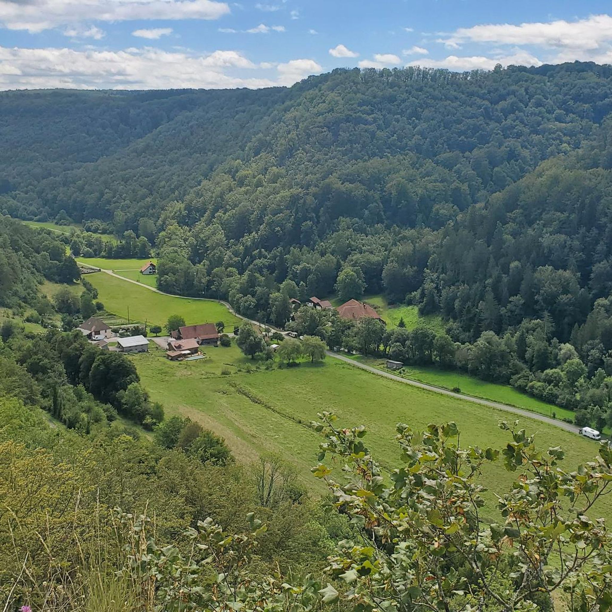
Old railway line
0
0

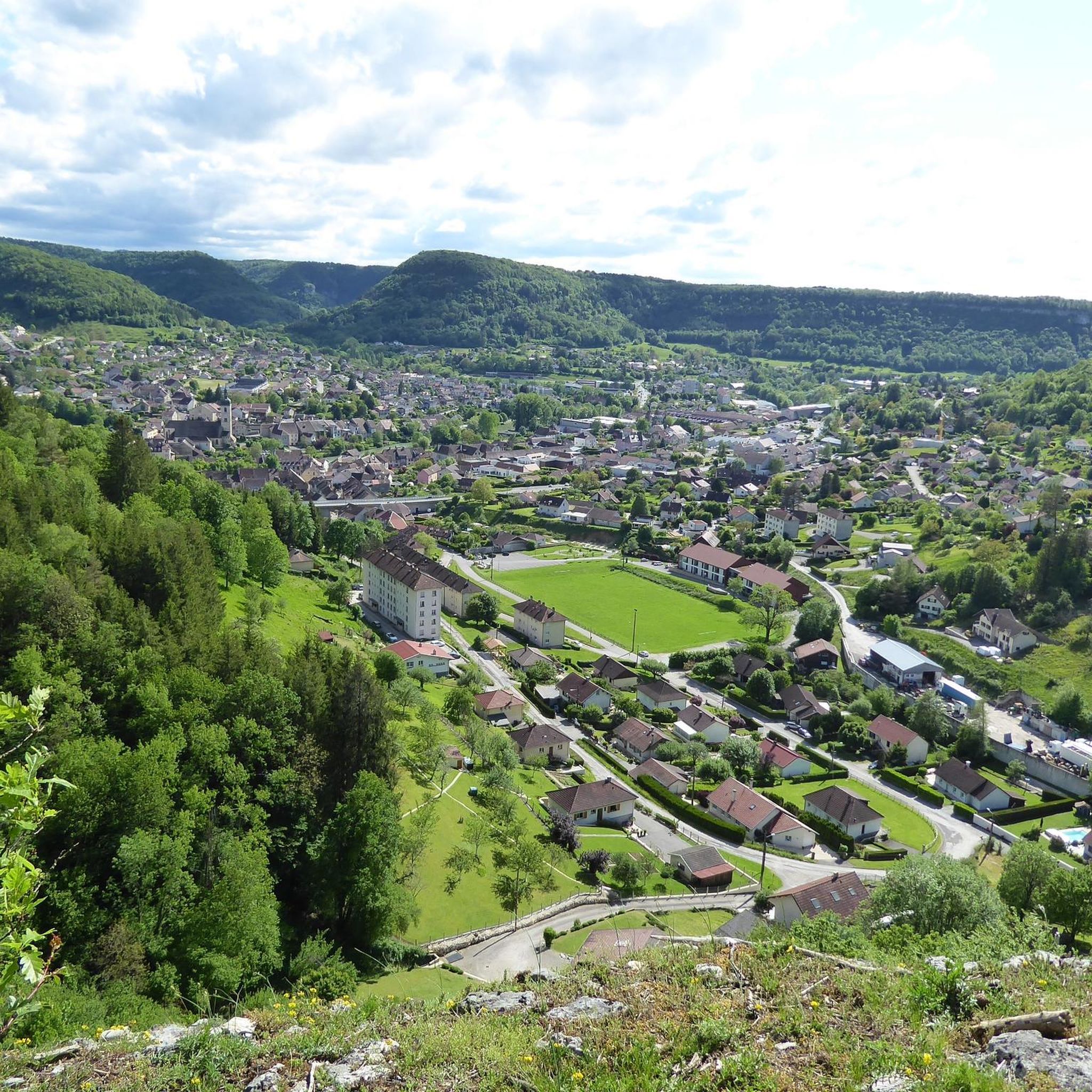
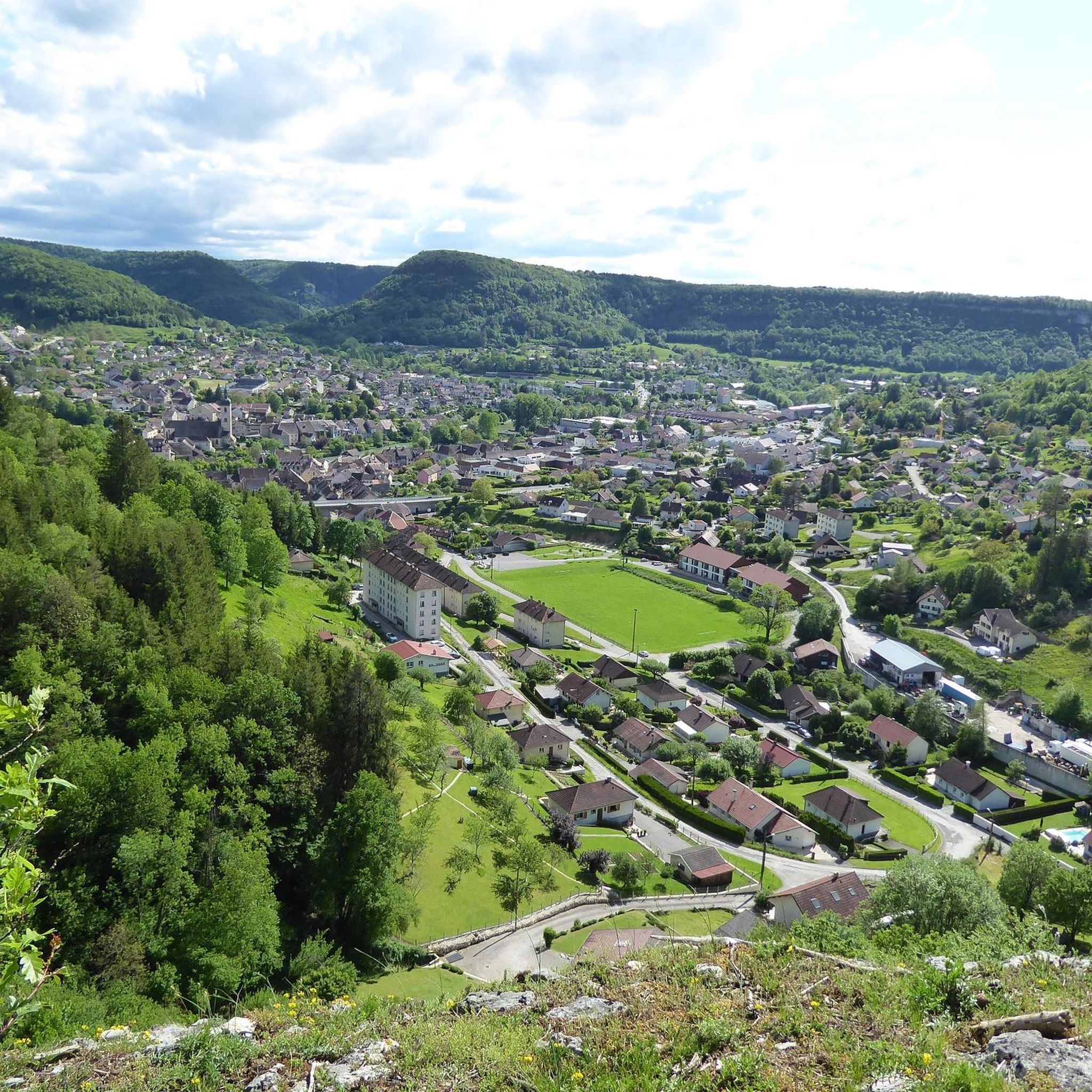
Typically picturesque, worth seeing French town
0
0

Hut in the picture is not a shelter
0
0


This Green Way is a pleasant gentle slope in the middle of the forest, with smooth asphalt
0
0

Vulliafans with around 700 inhabitants in the Doubs department in the Bourgogne-Franche-Comté region - a magical place with the Pont Vieux - this bridge with its 3 arches was built in the 17th century. Further into the town center there are numerous town and farm houses that were built in the characteristic style of Franche-Comté in the 16th to 18th centuries. One of the oldest houses is the former manor house La Forteresse from the 14th/15th century. The really beautiful thing is the authentic flair.
0
0

The Église Saint-Laurent is a Catholic church located in Ornans. The building dates from the 17th century and has been an essential part of the urban landscape ever since. The church has a characteristic architecture with three arches in the form of a basket arch. The tower-clocher retains a base with Romanesque influences from the 12th century. The building has been classified as a historical monument since 1931. Inside the Église Saint-Laurent you will find an elegant vaulted structure and beautiful furniture, including an impressive statue of Christ attributed to the Italian sculptor Le Bernin (1598-1680).
7
0
Frequently Asked Questions
How many gravel bike trails are available around Charbonnières-Les-Sapins?
There are over 25 gravel bike trails in the Charbonnières-Les-Sapins area, offering a diverse range of options for riders. These routes traverse forest trails, country lanes, and winding roads through the Jura Mountains' foothills and valleys.
Are there any easy gravel bike trails suitable for beginners or families?
Yes, the region offers routes suitable for various ability levels. While many routes have moderate to difficult sections, you can find paths that are less challenging. For example, the area features varied terrain that can be enjoyed by those looking for a more relaxed ride.
What are the typical distances and durations for gravel biking routes in this area?
Gravel biking routes around Charbonnières-Les-Sapins vary in length and duration. You can find routes like the Old railway bridge – Ornans loop from L'Hôpital-du-Grosbois, which is about 28.8 km (17.9 miles) and takes approximately 2 hours 31 minutes. Longer, more challenging routes can extend up to 52 km (32 miles) and take over 4 hours.
What kind of landscapes and natural features can I expect to see on these trails?
The trails offer diverse landscapes, including the foothills of the Jura Mountains, the Besançon hills, and extensive wooded areas like the Serre and Chaux forests. You'll also encounter picturesque valleys, country lanes, and potentially views of the Doubs river or the spectacular source of the Loue river.
Are there any circular gravel bike routes available?
Yes, many of the gravel routes in the area are designed as loops. For instance, the Ornans – Old railway bridge loop from Ornans is a popular circular trail covering about 29.4 km (18.3 miles) through varied terrain, forest trails, and country lanes.
What are some scenic viewpoints or landmarks to look out for on the gravel trails?
Many routes offer scenic views. You might encounter the impressive Old railway bridge (also known as Viaduc de la Brème), or enjoy views of Ornans, a charming settlement. The View of Cléron Castle – Ornans loop from Montgesoye specifically highlights views of Cléron Castle.
What is the best season for gravel biking in Charbonnières-Les-Sapins?
The region is generally appealing for outdoor activities due to its diverse landscapes. While specific recommendations for gravel biking seasons aren't provided, the varied terrain and natural beauty suggest that spring, summer, and autumn would offer pleasant conditions for riding, with vibrant foliage or lush greenery.
Are there any routes that pass by the Loue River?
Yes, you can find routes that feature the Loue River. The Loue River – Ornans loop from Montgesoye is one such route, offering a chance to experience the serene natural environment around this notable river.
What do other gravel bikers enjoy most about the trails in Charbonnières-Les-Sapins?
The area is highly rated by the komoot community, with an average score of 4.2 stars from over 12 reviews. Riders often praise the varied terrain, the network of forest trails and country lanes, and the beautiful natural settings provided by the Jura Mountains' foothills.
Are there any attractions nearby that I can visit after a ride?
Absolutely! The region offers several attractions. You could visit the Ornans, a picturesque town, or explore the Vuillafans area. For historical interest, the Former tile factory of Combes Punay is also nearby. The Dino-Zoo Park is a significant family attraction, and the source of the Loue river is a spectacular natural monument.
Are there any advanced or challenging gravel routes for experienced riders?
Yes, the region caters to experienced riders with more difficult routes. For example, the Loue River – Ornans loop from Ornans is a difficult 52 km (32.3 miles) path with significant elevation gain, offering challenging ascents through the regional landscape.
Most popular routes around Charbonnières-Les-Sapins
Most popular attractions around Charbonnières-Les-Sapins

Get inspired with the komoot mobile app


Explore more
Browse the best Gravel rides in other regions.
