The best road cycling routes around Charbonnières-Les-Sapins
4.7
(137)
2,984
riders
120
rides
Road cycling routes around Charbonnières-Les-Sapins traverse a varied topography, encompassing hills, wooded areas, and the initial foothills of the Jura mountains. Elevations typically range from 400 to 583 meters, offering both ascents and descents. The region features scenic pathways through the Loue Valley, past viewpoints like Roche Bottine, and through extensive forests and plateaus. This diverse landscape provides a range of environments for road cyclists.
Best road cycling routes around Charbonnières-Les-Sapins
- The most popular road cycling route is Ornans –…
Last updated: July 10, 2026
5.0
(3)
38
riders
76.9km
03:42
1,130m
1,130m
Hard road ride. Very good fitness required. Mostly well-paved surfaces and easy to ride.
5.0
(1)
19
riders
77.4km
04:01
1,250m
1,260m
Hard road ride. Very good fitness required. Mostly well-paved surfaces and easy to ride.

Sign up for free
4.6
(5)
59
riders
89.0km
04:45
1,700m
1,700m
Hard road ride. Very good fitness required. Mostly well-paved surfaces and easy to ride.
4.3
(6)
38
riders
34.7km
01:45
500m
500m
Moderate road ride. Good fitness required. Mostly well-paved surfaces and easy to ride.
35
riders
65.8km
03:16
930m
930m
Hard road ride. Very good fitness required. Mostly well-paved surfaces and easy to ride.
Get access to more routes and recommendations from other explorers.
Sign up for free
Already have an account?
Our route recommendations are based on thousands of hikes, rides, and runs completed by other people on komoot.
Start today with a free account
Your next adventure awaits.
Login or Signup
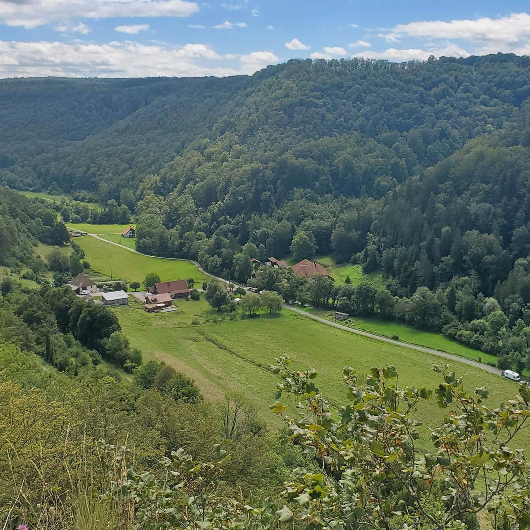
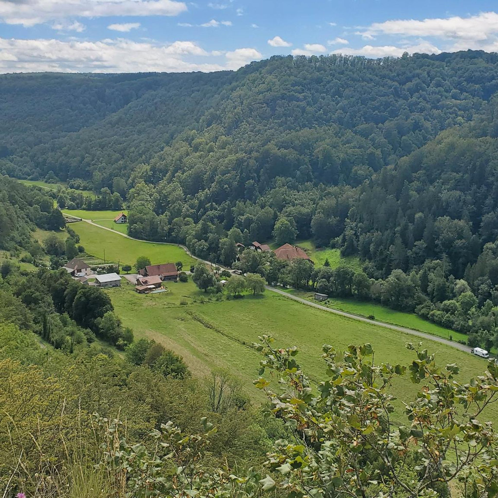
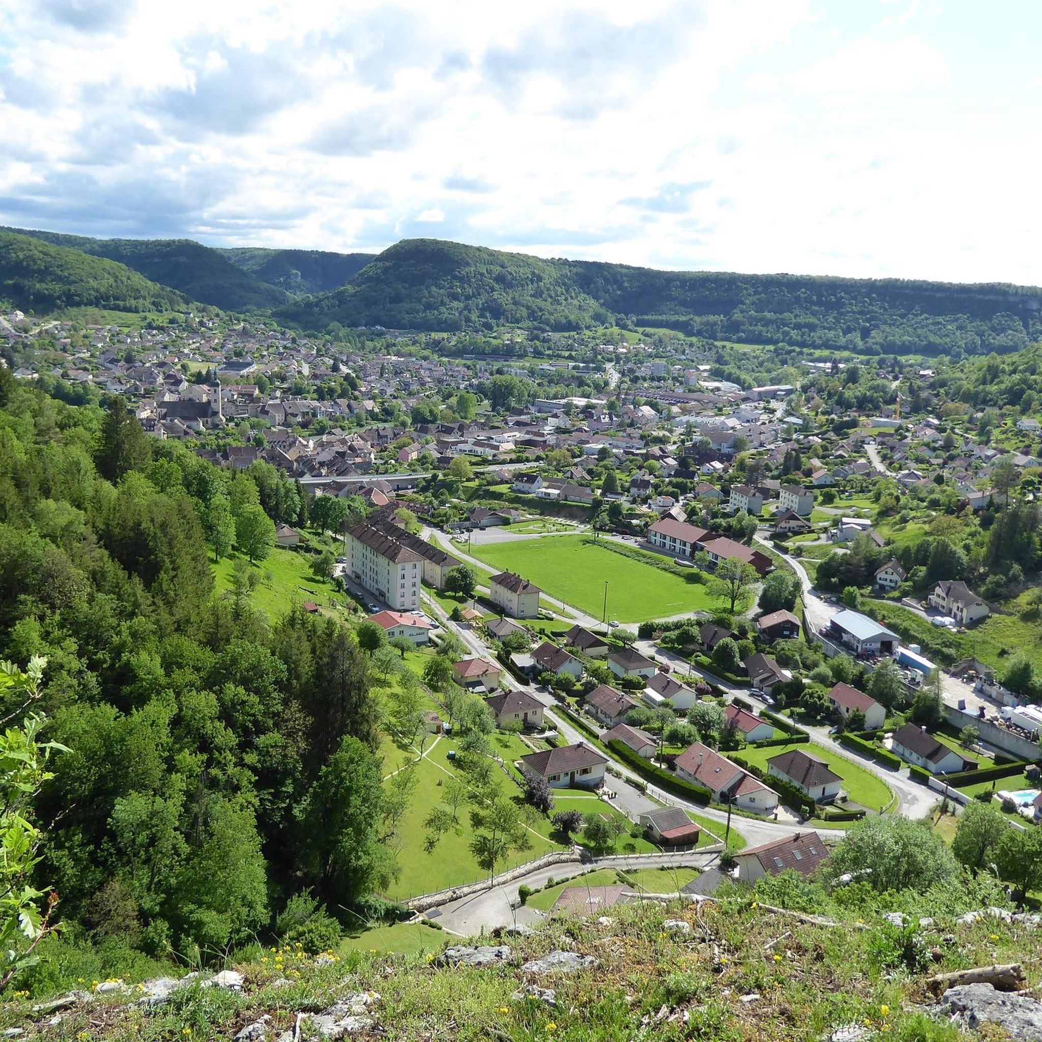
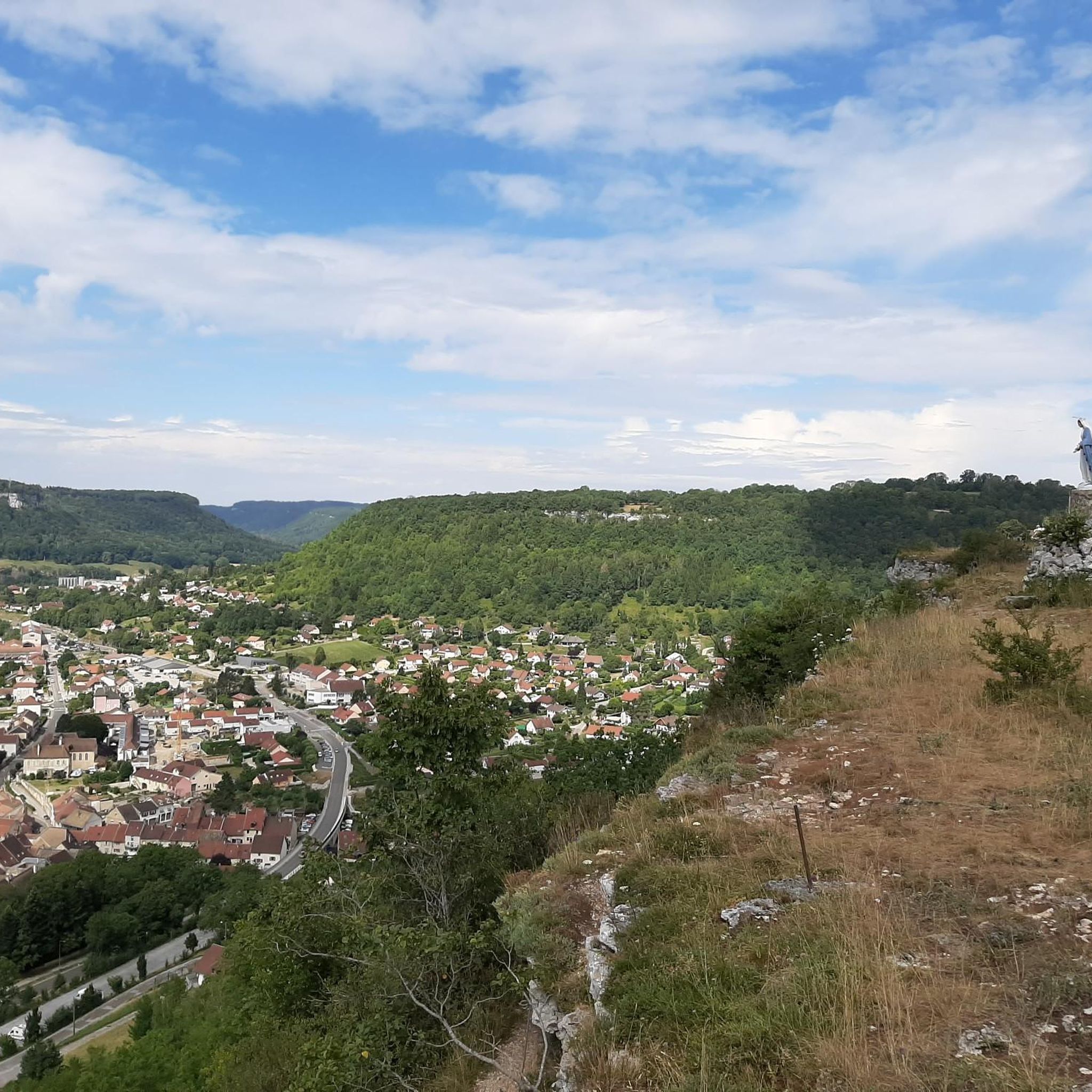

Tips from the Community

19th-century bridge that crosses a gorge at the bottom of which flows the Château-Renaud, a stream that feeds the Lison resurgence. Its construction is surrounded by a legend of a pact with the Devil. The keystone of the main arch is carved, on the upstream side, with a grimacing devil's head, in reference to the legend surrounding this bridge
0
0

The Syratu waterfall in Mouthier-Haute-Pierre
0
0

Imposing complex which is worth a visit.
0
0

Not suitable for children. Very dangerous, but beautiful. Recommended for adults who are not afraid of heights.
0
0

Typically picturesque, worth seeing French town
0
0


This chapel was built in 1863, following an apparition of the Virgin Mary on April 3, 1803. According to legend, a young girl found an old statue from the time of Louis 14 in the tree in front of which Mary appeared to her. This "holy oak" was felled a few decades after the apparition, and the statue now stands in the church. Below the chapel on the street, a bronze statue commemorates the place where the oak was and where the apparition is said to have taken place. Next to the chapel there is now a pilgrims' hostel that tells the story of the network of the Via Franzigena.
1
0

The Cascade de Syratu is an impressive waterfall that cascades over the rocky cliffs of the Baume above Mouthier-Haute-Pierre in the Doubs department. With a total height difference of 230 metres, it is the largest waterfall in the department. The waterfall consists of several levels: The upper part begins with an almost vertical drop of 50 metres from the edge of the plateau at a height of 600 metres. This is followed by a second vertical drop of 32 metres, which brings the water to the level of the road. The lower part of the waterfall extends over a wooded slope and ends at the Loue river, where there are several waterfalls covered with tufa. To get a general view of the waterfall, you should climb up the left bank after crossing the old bridge over the Loue. The middle part of the waterfall is visible from the road that goes up to the gorges. The lower part, with its wild tuff massifs, can be reached on foot via paths that start on either side of the small bridge over the Syratu stream.
8
0
Frequently Asked Questions
How many road cycling routes are available around Charbonnières-les-Sapins?
There are over 120 road cycling routes available around Charbonnières-les-Sapins on komoot, offering a wide range of options for cyclists. These include 7 easy routes, 75 moderate routes, and 43 difficult routes, catering to various skill levels.
What kind of terrain and elevation can I expect on road cycling routes in this area?
The region around Charbonnières-les-Sapins features a varied topography, including hills, wooded areas, and the initial foothills of the Jura mountains. Elevations typically range from 400 to 583 meters, providing both challenging ascents and enjoyable descents. You'll find routes with significant climbs, such as the Great views over the Loue – Village of Lods loop from L'Hôpital-du-Grosbois, which has over 1900 meters of elevation gain, as well as more undulating paths.
What are some of the most scenic natural features or viewpoints I can encounter while cycling?
Road cycling routes in this area often lead to magnificent panoramas over the Loue Valley, with the picturesque town of Ornans nestled below. Viewpoints like Roche Bottine and Roche Lahier offer stunning 180-degree vistas. You'll also cycle through charming areas like the Brême Valley and extensive forests, such as the Forêt de la Verrière du Grosbois, providing a blend of natural beauty and varied landscapes.
Are there any family-friendly road cycling routes suitable for beginners?
Yes, there are several easier routes suitable for families or beginners. For instance, the Roadbike loop from Foucherans is an easy 22.6 km (14.0 miles) trail that can be completed in about an hour, offering a gentle introduction to road cycling in the area.
What do other road cyclists enjoy most about cycling in Charbonnières-les-Sapins?
The area is highly rated by the komoot community, with an average score of 4.7 stars from over 100 reviews. Road cyclists often praise the diverse landscapes, from the undulating hills and wooded areas to the scenic Loue Valley, and the variety of routes available for different skill levels. Over 2,500 road cyclists have used komoot to explore this region's varied terrain.
What interesting places or landmarks can I see along the road cycling routes?
While cycling, you can discover several interesting points. The routes often pass through or near charming settlements like Ornans and Vuillafans. You might also encounter historical sites such as the Former tile factory of Combes Punay or cross an Old railway bridge. Many routes also feature scenic spots like the Riverside Rest Area on the Loue.
Are there any good circular road cycling routes in the area?
Yes, many of the road cycling routes around Charbonnières-les-Sapins are designed as loops, offering convenient starting and ending points. Popular options include the Ornans – Cléron loop from Saules and the Village of Lods – Loue River loop from Saules, both providing excellent circular experiences.
What is the best time of year for road cycling in Charbonnières-les-Sapins?
The region's varied topography and natural beauty are enjoyable across different seasons. Spring and autumn generally offer pleasant temperatures and vibrant scenery, making them ideal for road cycling. Summer can also be great, though it's advisable to start earlier in the day to avoid the midday heat, especially on routes with significant climbs.
Are there any particularly challenging road cycling routes for experienced cyclists?
Yes, experienced cyclists looking for a challenge will find several difficult routes. The Great views over the Loue – Village of Lods loop from L'Hôpital-du-Grosbois is a demanding 105.4 km (65.5 miles) route with over 1900 meters of elevation gain, offering a significant test of endurance and rewarding views.
Where can I find places to eat or stay that are cyclist-friendly in the area?
While specific cyclist-friendly establishments are not detailed in the route data, the region is popular for outdoor activities. You can typically find cafes, pubs, and accommodation in the main villages and towns along or near the routes, such as Ornans, Lods, and Vuillafans. These places often cater to visitors exploring the natural beauty of the area.
Are there routes that follow the Loue River?
Yes, the Loue Valley is a prominent feature of the region, and several routes follow or offer views of the Loue River. The Village of Lods – Loue River loop from Saules is a prime example, following the river and passing through scenic villages along its banks.
What is the typical elevation range for road cycling in Charbonnières-les-Sapins?
The elevations in the area typically range from approximately 400 to 583 meters (1,312 to 1,913 feet). This undulating terrain ensures that most road cycling routes will include a mix of climbs and descents, providing a dynamic riding experience.
Most popular routes around Charbonnières-Les-Sapins
Most popular attractions around Charbonnières-Les-Sapins

Get inspired with the komoot mobile app


Explore more
Browse the best Road cycling routes in other regions.
