The best walks and hikes around Charbonnières-Les-Sapins
4.4
(363)
2,122
hikers
118
hikes
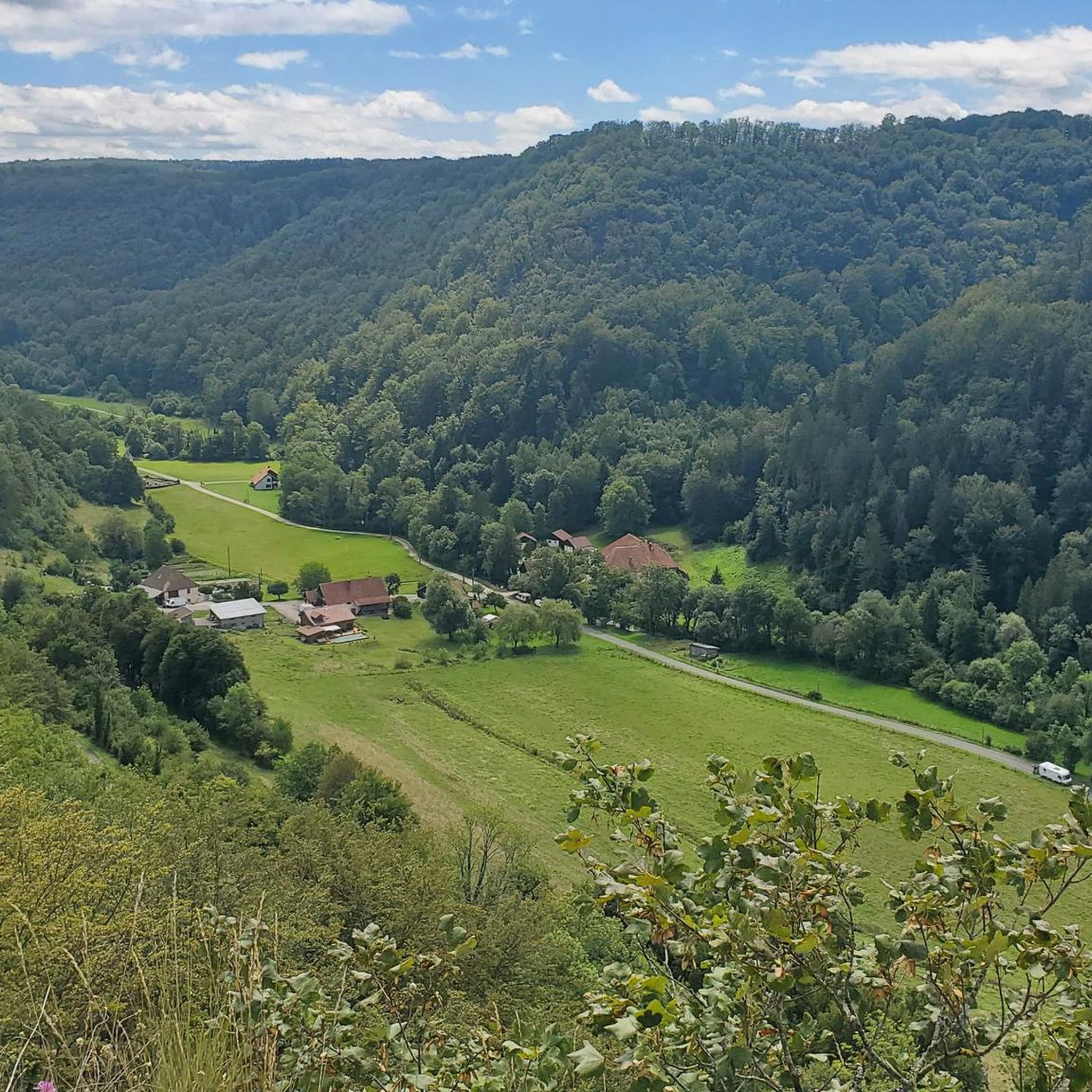
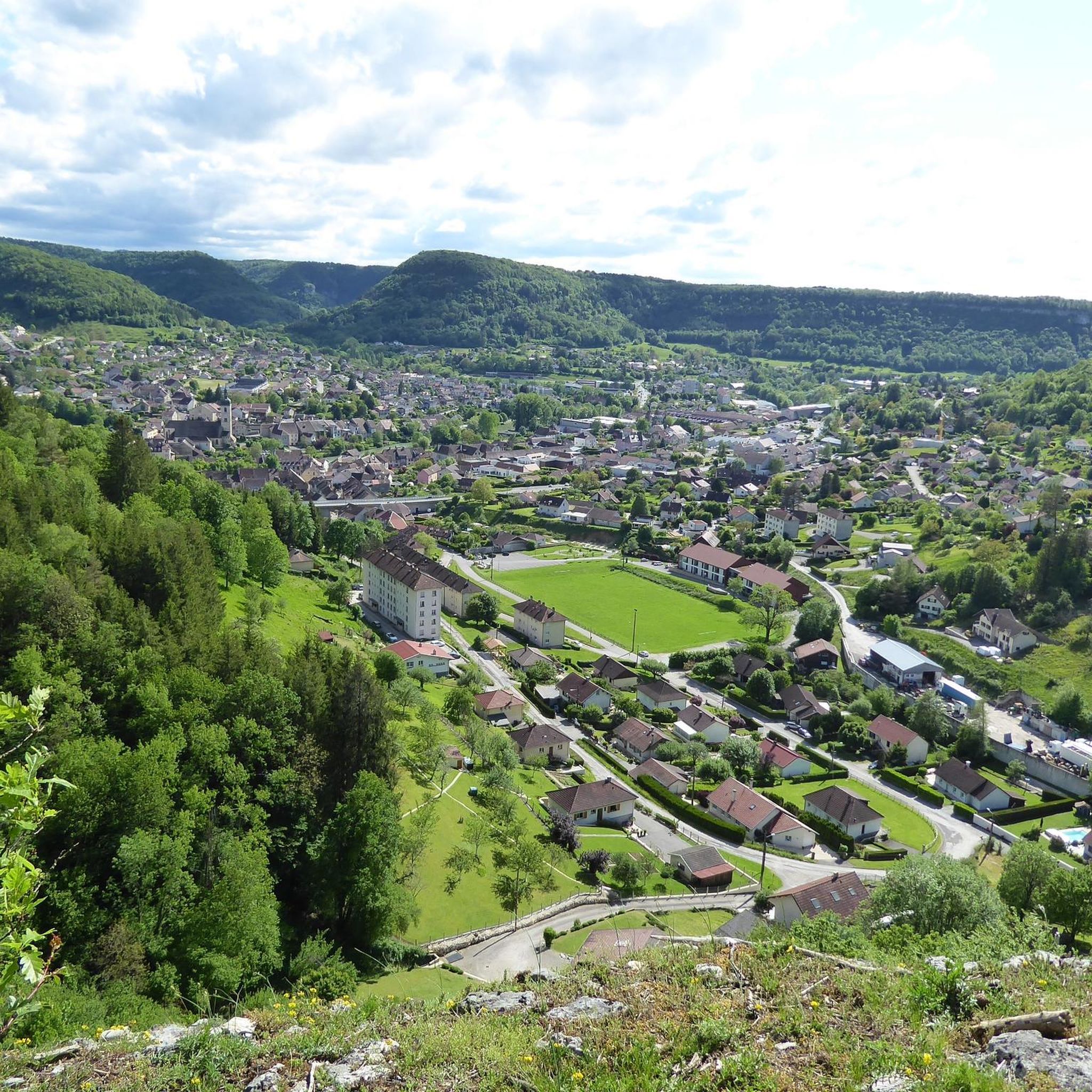
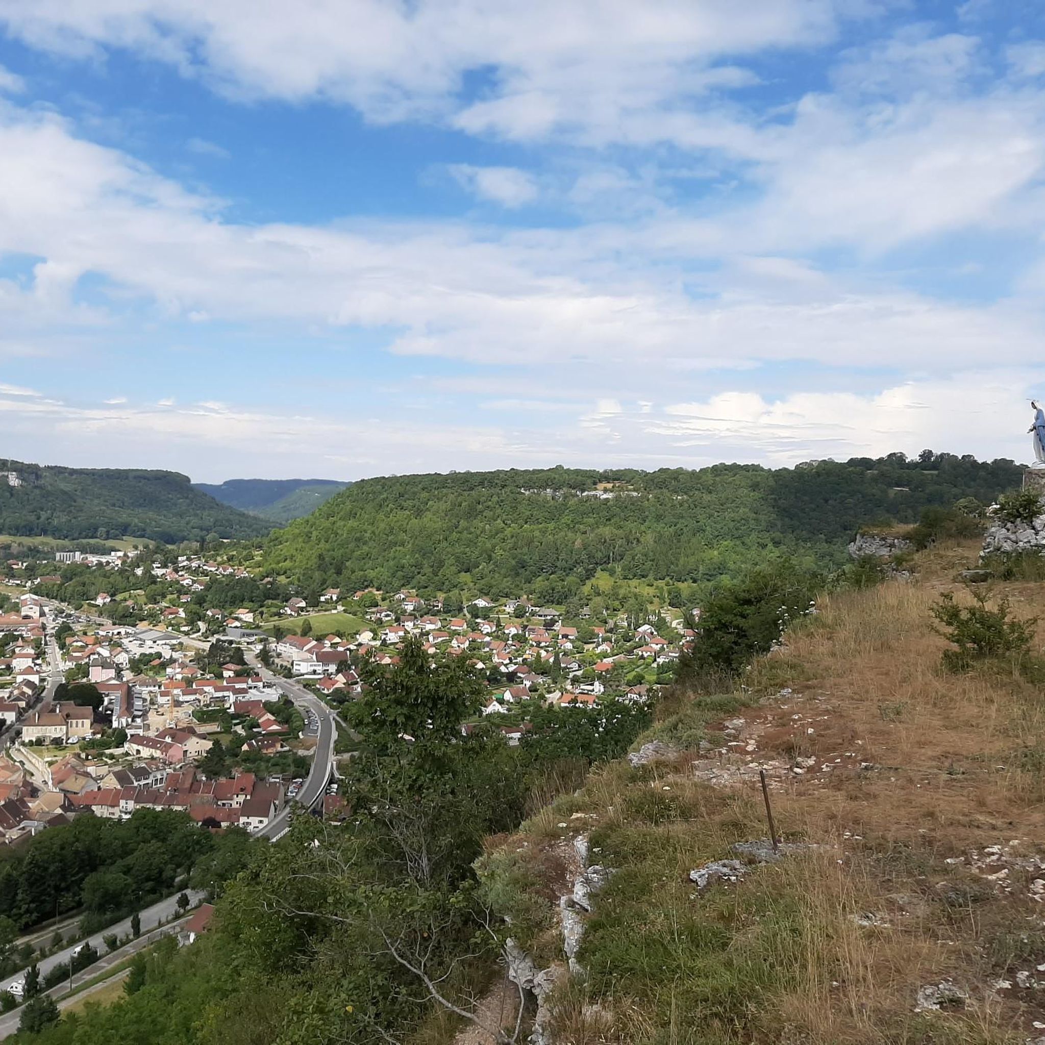
Hiking around Charbonnières-Les-Sapins offers routes through varied terrain, characterized by woodlands, valleys, and elevated viewpoints. The region features a mix of gentle slopes and more challenging ascents, providing diverse experiences for hikers. Trails often lead to natural features like rock formations and wells, showcasing the local geology. The landscape is typical of the French countryside, with a blend of natural and agricultural areas.
Best hiking trails around Charbonnières-Les-Sapins
- The most popular hiking route is Rocher du Tourbillon — loop via…
Last updated: July 6, 2026
4.3
(3)
14
hikers
5.57km
01:46
230m
230m
Easy hike. Great for any fitness level. Easily-accessible paths. Suitable for all skill levels.
4.5
(17)
60
hikers
11.0km
03:06
220m
220m
Moderate hike. Good fitness required. Mostly accessible paths. Sure-footedness required.

Sign up for free
3.8
(6)
47
hikers
9.71km
02:48
240m
240m
Moderate hike. Good fitness required. Easily-accessible paths. Suitable for all skill levels.
4.5
(15)
52
hikers
Hard hike. Very good fitness required. Easily-accessible paths. Suitable for all skill levels.
13
hikers
6.04km
01:39
90m
90m
Easy hike. Great for any fitness level. Easily-accessible paths. Suitable for all skill levels.
Get access to more routes and recommendations from other explorers.
Sign up for free
Already have an account?
Our route recommendations are based on thousands of hikes, rides, and runs completed by other people on komoot.
Start today with a free account
Your next adventure awaits.
Login or Signup

Tips from the Community

Old railway line
0
0

Hut in the picture is not a shelter
0
0

very beautiful view
0
0
Beautiful castle with a beautiful view
0
0
beautiful view
0
0

Frequently Asked Questions
How many hiking trails are available around Charbonnières-Les-Sapins?
There are over 120 hiking trails in the Charbonnières-Les-Sapins area, offering a wide range of options for all skill levels. The komoot community has explored more than 1900 routes here.
Are there easy hiking trails suitable for beginners or families?
Yes, Charbonnières-Les-Sapins offers many easy trails. For a pleasant and accessible walk, consider the Rocher du Tourbillon — loop via Bonnevaux-le-Prieuré, which is 3.5 miles (5.6 km) long and features a notable rock formation.
What are some longer or more challenging hiking options in the region?
For a more challenging experience, the Grotte de Fontaine – View of the Château d'Ornans loop from Bonnevaux-le-Prieuré is a difficult 11.4 miles (18.3 km) trail with significant elevation gain. Another moderate option is the Gougnot Viewpoint loop from Saules, spanning 8.1 miles (13.1 km).
Are there any circular hiking routes available?
Many trails in the area are circular, allowing you to start and end at the same point. An excellent example is the Brême Well – Les Ravines du Puits Noir loop from Bonnevaux-le-Prieuré, a moderate 6.8 miles (11.0 km) path exploring a well and ravine system.
What kind of natural features or viewpoints can I expect on the trails?
The region is known for its woodlands, valleys, and elevated viewpoints. You can find trails leading to rock formations, wells, and scenic overlooks. The Gougnot Viewpoint – Belvedere de la roche botine loop from Saules is a great choice for panoramic views.
What do other hikers enjoy most about hiking in Charbonnières-Les-Sapins?
The area is highly rated by the komoot community, with an average score of 4.4 stars from over 320 reviews. Hikers often praise the varied terrain, from gentle slopes to challenging ascents, and the blend of natural and agricultural landscapes.
Are there any interesting landmarks or places to explore near the hiking trails?
Yes, the region offers several points of interest. You can explore the charming settlement of Ornans, visit the Former tile factory of Combes Punay, or enjoy the Riverside Rest Area on the Loue. The area also features an Old railway bridge.
Is Charbonnières-Les-Sapins suitable for dog-friendly hiking?
While specific regulations for dogs on every trail can vary, many natural areas in France are generally welcoming to dogs on leash. It's always recommended to check local signage and be respectful of wildlife and other hikers. The varied terrain and woodlands offer plenty of space for walks with your canine companion.
When is the best time of year to go hiking in Charbonnières-Les-Sapins?
The spring and autumn months typically offer the most pleasant hiking conditions with mild temperatures and beautiful scenery. Spring brings blooming flora, while autumn showcases vibrant fall colors. Summer can also be enjoyable, especially in the shaded woodland areas, but be prepared for warmer weather.
What kind of terrain can I expect on the hiking trails?
The terrain around Charbonnières-Les-Sapins is varied, characterized by woodlands, valleys, and elevated sections. You'll encounter a mix of gentle slopes and more challenging ascents, often leading through natural features like rock formations and wells, typical of the French countryside.
Are there any trails that pass through or near historical sites?
While the trails primarily focus on natural landscapes, the broader region has historical elements. For instance, the route to the Former tile factory of Combes Punay offers a glimpse into the area's industrial past. Many routes also pass through traditional French villages.
Most popular routes around Charbonnières-Les-Sapins
Most popular attractions around Charbonnières-Les-Sapins

Get inspired with the komoot mobile app


Explore more
Browse the best Hikes in other regions.
