The best gravel rides around Teror
4.3
(12)
135
riders
16
rides
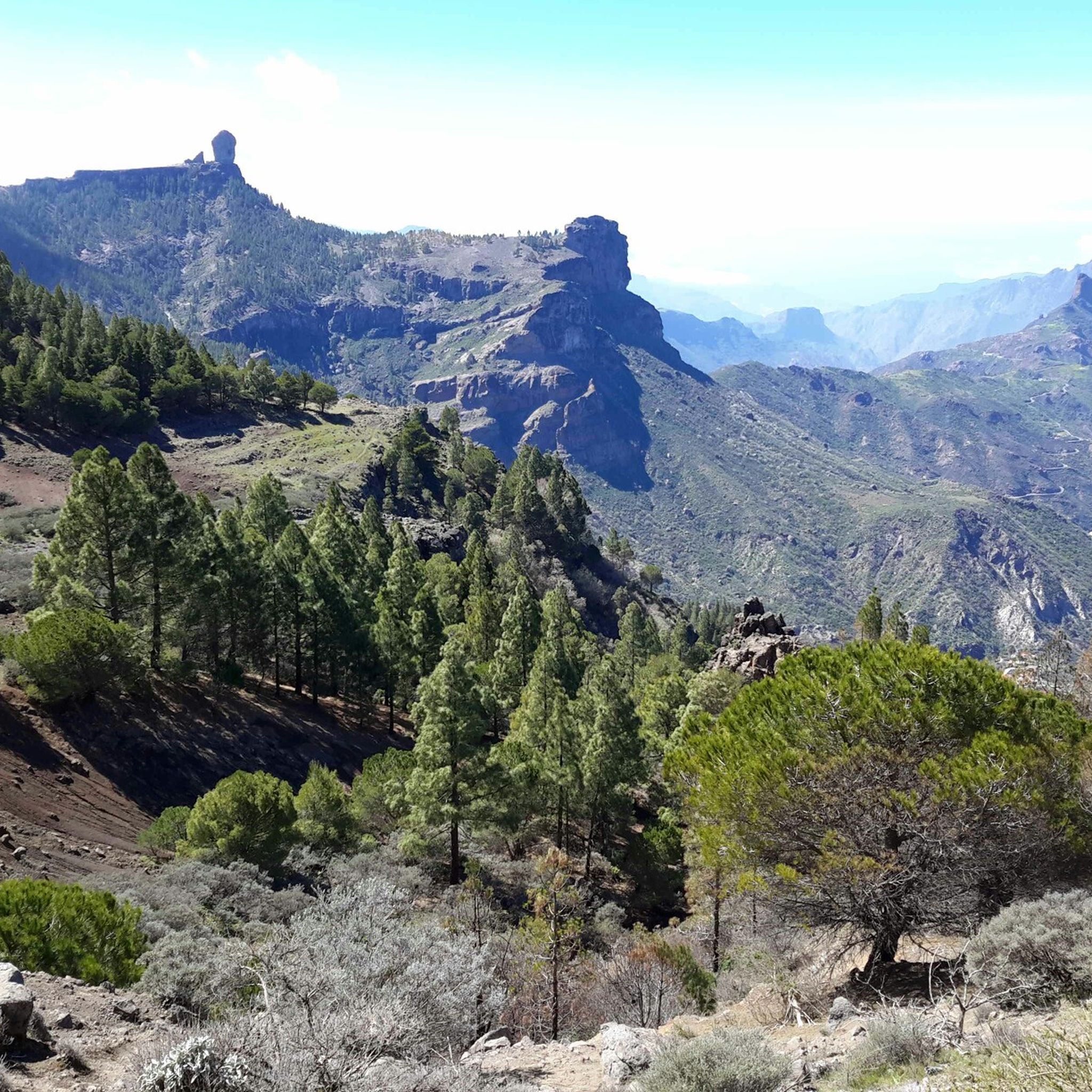
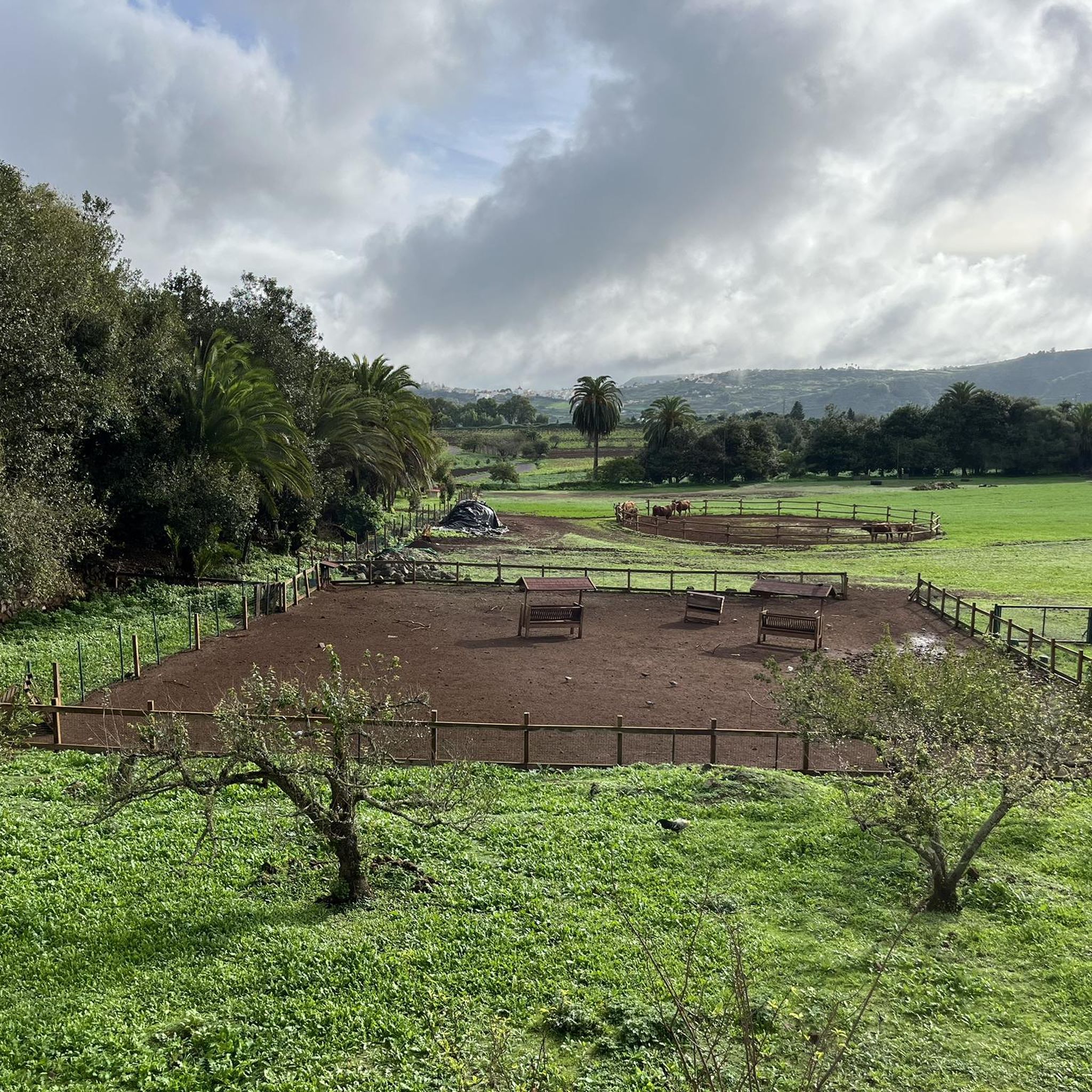
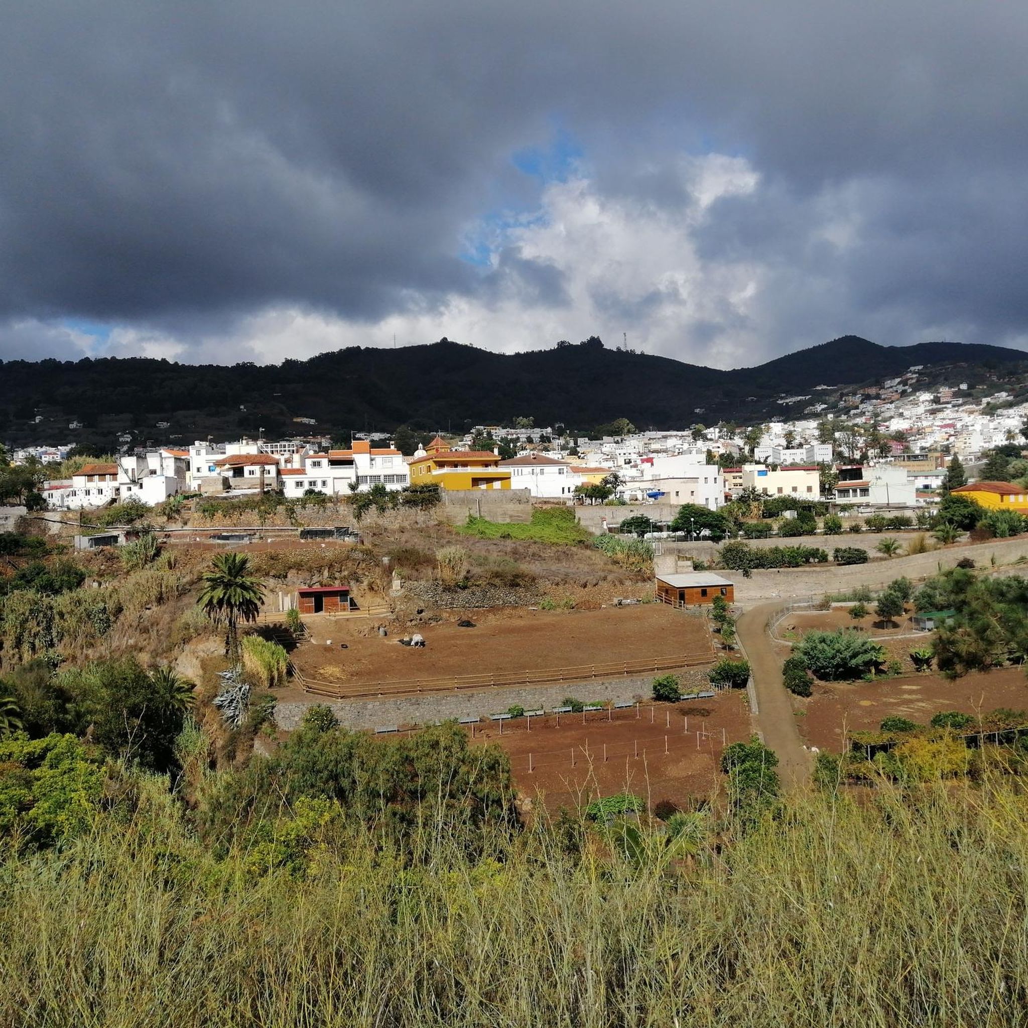
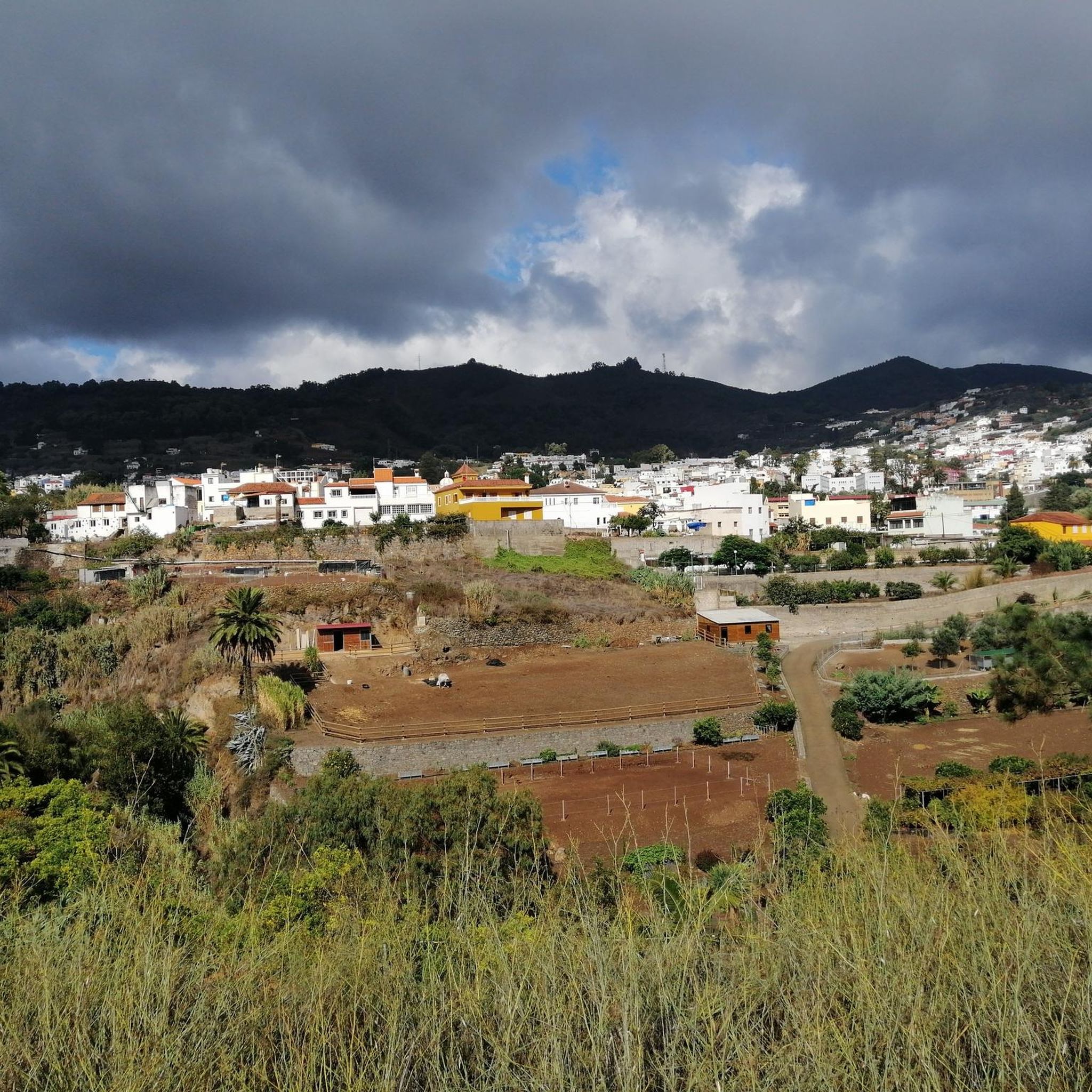
Gravel biking around Teror offers a diverse landscape characterized by significant elevation changes, deep ravines, and panoramic views. The region, situated in the mountainous interior of Gran Canaria, features challenging ascents and descents on varied terrain. Riders can expect a mix of unpaved roads, forest tracks, and paths that traverse both rural and more exposed areas, connecting traditional villages with natural landmarks.
Best gravel bike trails around Teror
- The most popular gravel bike trail is Las Alcaravaneras Beach – Plaza…
Last updated: October 19, 2026
4.0
(2)
16
riders
Hard gravel ride. Very good fitness required. Mostly paved surfaces. Suitable for all skill levels.
4.0
(3)
11
riders
Hard gravel ride. Very good fitness required. Mostly paved surfaces. Suitable for all skill levels.

8
riders
Moderate gravel ride. Good fitness required. Mostly paved surfaces. Suitable for all skill levels.
3.5
(2)
5
riders
19.1km
01:36
400m
400m
Moderate gravel ride. Good fitness required. Mostly paved surfaces. Suitable for all skill levels.
6
riders
22.0km
01:42
440m
440m
Moderate gravel ride. Good fitness required. Mostly paved surfaces. Suitable for all skill levels.
Get access to more routes and recommendations from other explorers.
Already have an account?
Our route recommendations are based on thousands of hikes, rides, and runs completed by other people on komoot.
Start today with a free account
Your next adventure awaits.


Other adventures around Teror

Tips from the Community


The first stretch from Las Arenas is a bit tough if you haven't been hiking for long, so I don't recommend it.
0
0

The square is surrounded by the cathedral, the historic town hall and historic hotels.
4
0

Really good option with beautiful views very early along the climb. That is only one short stretch (maybe 800m) which is on a larger road, but there is sufficient space for cyclists too.
0
0

The fertile Barranco Guiniguada is one of the longest valleys on the island. It stretches 22 km from the mountains in the center to the old town of Las Palmas. The hiking trail leads through gorges with subtropical plants, past small farms and villages whose houses climb up the slopes.
1
0
The Canary Islands Conference Centre - Auditorio Alfredo Kraus de Las Palmas de Gran Canaria (designed by the architect Oscar Tusquets) is located on the capital's emblematic beach, Las Canteras, and offers the feeling of merging with the sea, thanks to its panoramic views of the Atlantic. The Conference Centre has fourteen meeting rooms with a total capacity of over 3,000 people.
1
0
Sandy beach with a view of the port facilities and cranes.
1
0
Nice views from here
0
0
Frequently Asked Questions
Are there any easy gravel bike trails suitable for beginners in Teror?
The gravel biking routes around Teror are generally quite challenging. According to our data, there are no trails specifically rated as 'easy'. Most routes feature significant elevation changes and are categorized as moderate or difficult, making them more suitable for experienced riders.
What is the typical length and duration of gravel bike trails in the Teror region?
Gravel bike trails around Teror vary in length and duration, reflecting the region's challenging terrain. You can expect routes ranging from approximately 30 miles (50 km) to over 65 miles (100 km). Durations can span from around 3.5 hours for shorter, intense rides to over 9 hours for the most extensive loops, such as the Switchbacks with a view – Pico de las Nieves summit loop from Las Palmas.
Are there any gravel bike routes that form a loop around Teror?
Yes, many of the gravel bike routes in the Teror area are designed as loops, allowing you to start and finish at the same point. For example, the Barranco de Guiniguada – Plaza de Santa Ana loop from Conjunto Historico Barrio de Triana offers a challenging circular path through natural landscapes and urban fringes.
What kind of views and viewpoints can I expect along the gravel bike routes near Teror?
The gravel bike routes around Teror offer panoramic views, especially due to the significant elevation changes. Riders can expect expansive vistas from higher points, often overlooking deep ravines and connecting traditional villages with natural landmarks. The region's mountainous interior provides a dramatic backdrop for your rides.
Are there any natural monuments or significant landmarks to see along the gravel bike trails?
Yes, the Teror region is rich in natural beauty and landmarks. You might encounter impressive natural monuments like Roque Nublo or reach the Pico de las Nieves summit, the island's highest point, offering breathtaking views. For more information, you can explore the Natural Monuments around Teror guide.
Can I find waterfalls along any of the gravel bike routes near Teror?
While not directly on every gravel bike route, the Teror area is known for its waterfalls, especially after rainfall. You might find highlights such as the Small Waterfall or the Large Waterfall nearby. For more details, check the Waterfalls around Teror guide.
What do other gravel bikers say about the trails in Teror?
The gravel biking experience in Teror is highly regarded by the komoot community, with an average rating of 3.9 out of 5 stars from more than 8 reviews. Over 200 gravel bikers have explored the region using komoot, often praising the challenging terrain, extensive climbing, and the rewarding panoramic views from routes like the Las Alcaravaneras Beach – Plaza de Santa Ana loop from Jardín Botánico Viera y Clavijo.
Are there any advanced or particularly challenging gravel bike trails in Teror?
Yes, Teror is well-known for its challenging gravel biking. Out of 15 available routes, 11 are rated as difficult. These trails feature significant elevation gains and descents, often on varied unpaved roads and forest tracks. An example of a demanding route is the Plaza de Santa Ana – Las Canteras Beach loop from Policía canaria.
What are the typical weather conditions for gravel biking in Teror?
Teror, being in the mountainous interior of Gran Canaria, can experience varied weather. While coastal areas might be warm, higher elevations can be cooler and more exposed. It's advisable to check local forecasts for the specific altitude of your chosen route, as conditions can change rapidly, especially regarding wind and potential for cloud cover or rain.
Are there cafes or places to stop for refreshments along the gravel bike routes?
Many routes connect traditional villages, which often have local cafes and shops where you can stop for refreshments. While specific cafes aren't listed for each trail, starting points like Las Palmas or Conjunto Historico Barrio de Triana offer numerous options. Planning your route to pass through these villages will ensure opportunities for breaks.
Where can I find parking for gravel bike trails near Teror?
The starting points for many gravel bike routes are often located in or near urban areas or villages, such as Las Palmas, Conjunto Historico Barrio de Triana, or Jardín Botánico Viera y Clavijo. In these locations, you can typically find public parking facilities. It's recommended to check local parking availability for your specific starting point before your ride.
What should I wear for gravel biking in Teror?
Given the significant elevation changes and varied terrain, layering is key. Technical cycling apparel that wicks moisture is recommended. Consider bringing a windbreaker or light jacket for descents or higher altitudes, even on warm days. A helmet, gloves, and appropriate cycling shoes are essential for safety and comfort on the mixed surfaces.
Are there any hidden gem gravel trails around Teror that are less frequented?
While the most popular routes are well-known, the extensive network of unpaved roads and forest tracks in the Teror region means there are always less-traveled paths to discover. Exploring routes that venture deeper into the ravines or connect smaller, more remote villages, such as the Cenobio de Valerón – View of Las Palmas loop from Los Dragos, can lead to a more secluded experience.
Most popular attractions around Teror

Get inspired with the komoot mobile app


Explore more
Browse the best Gravel rides in other regions.
