The best mountain hikes around Teror
5.0
(17)
95
hikers
6
hikes
Mountaineering routes around Teror, nestled in the heart of Gran Canaria, traverse a lush, green, and mountainous landscape characterized by deep ravines and volcanic peaks. The region offers challenging ascents and panoramic views, with prominent features including Pico de Osorio and the island's highest point, Pico de las Nieves. While Teror itself is a hub for hiking, its proximity to iconic formations like Roque Nublo makes it a strategic base for exploring diverse mountainous terrain across Gran Canaria.
Best mountaineering…
Last updated: July 1, 2026
5.0
(6)
47
hikers
3.23km
01:09
160m
160m
Moderate mountaineering route. Great for any fitness level. Mostly accessible paths. Sure-footedness required.
5.0
(3)
10
hikers
10.2km
03:24
500m
500m
Moderate mountaineering route. Good fitness required. Mostly accessible paths. Sure-footedness required.

Sign up for free
5.0
(2)
10
hikers
5.98km
01:53
230m
230m
Moderate mountaineering route. Great for any fitness level. Mostly accessible paths. Sure-footedness required.
5.0
(3)
7
hikers
8.05km
03:27
510m
510m
Hard mountaineering route. Good fitness required. Sure-footedness, sturdy shoes and alpine experience required.
2
hikers
8.03km
03:23
500m
500m
Moderate mountaineering route. Good fitness required. Mostly accessible paths. Sure-footedness required.
Our route recommendations are based on thousands of hikes, rides, and runs completed by other people on komoot.
Start today with a free account
Your next adventure awaits.
Login or Signup
Tips from the Community

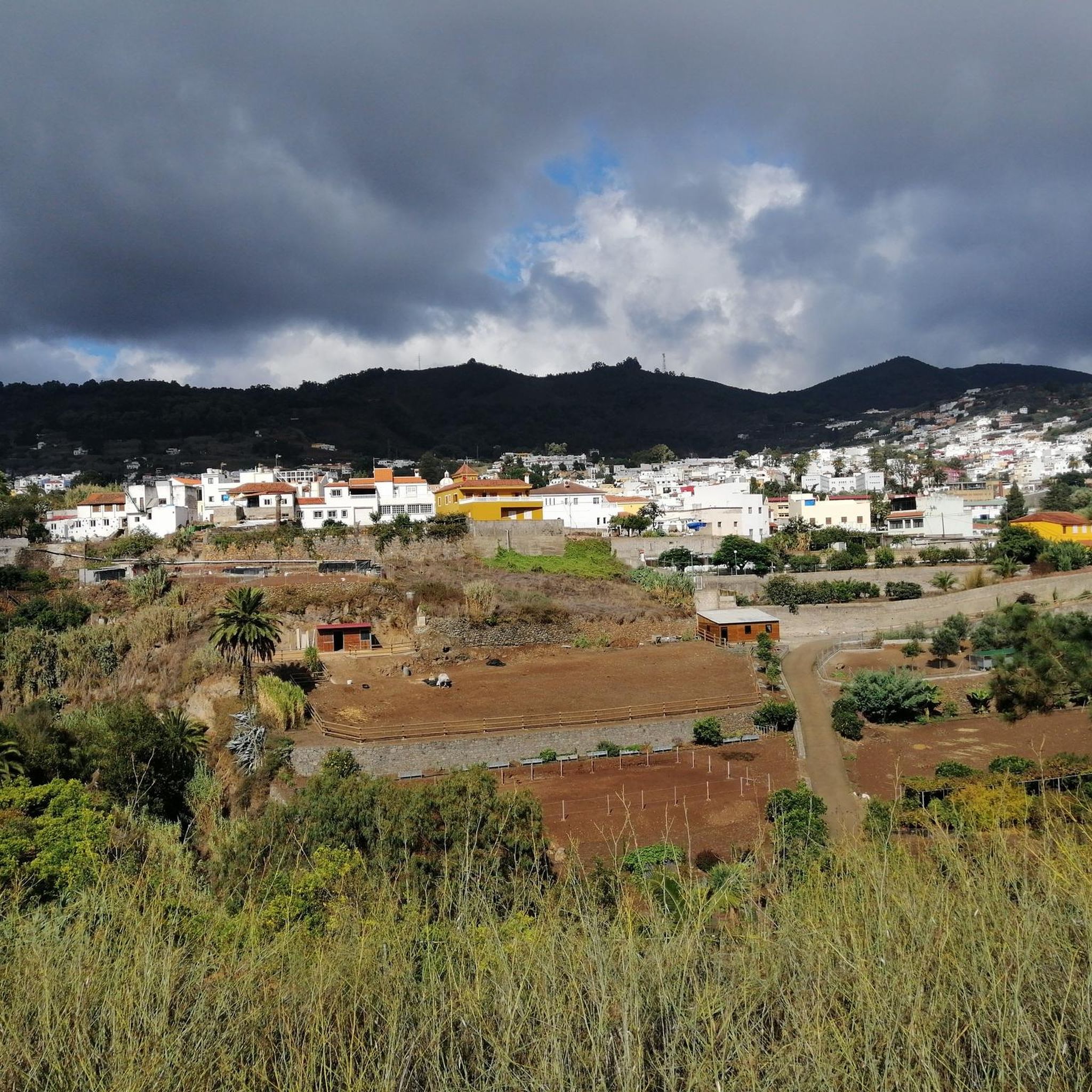
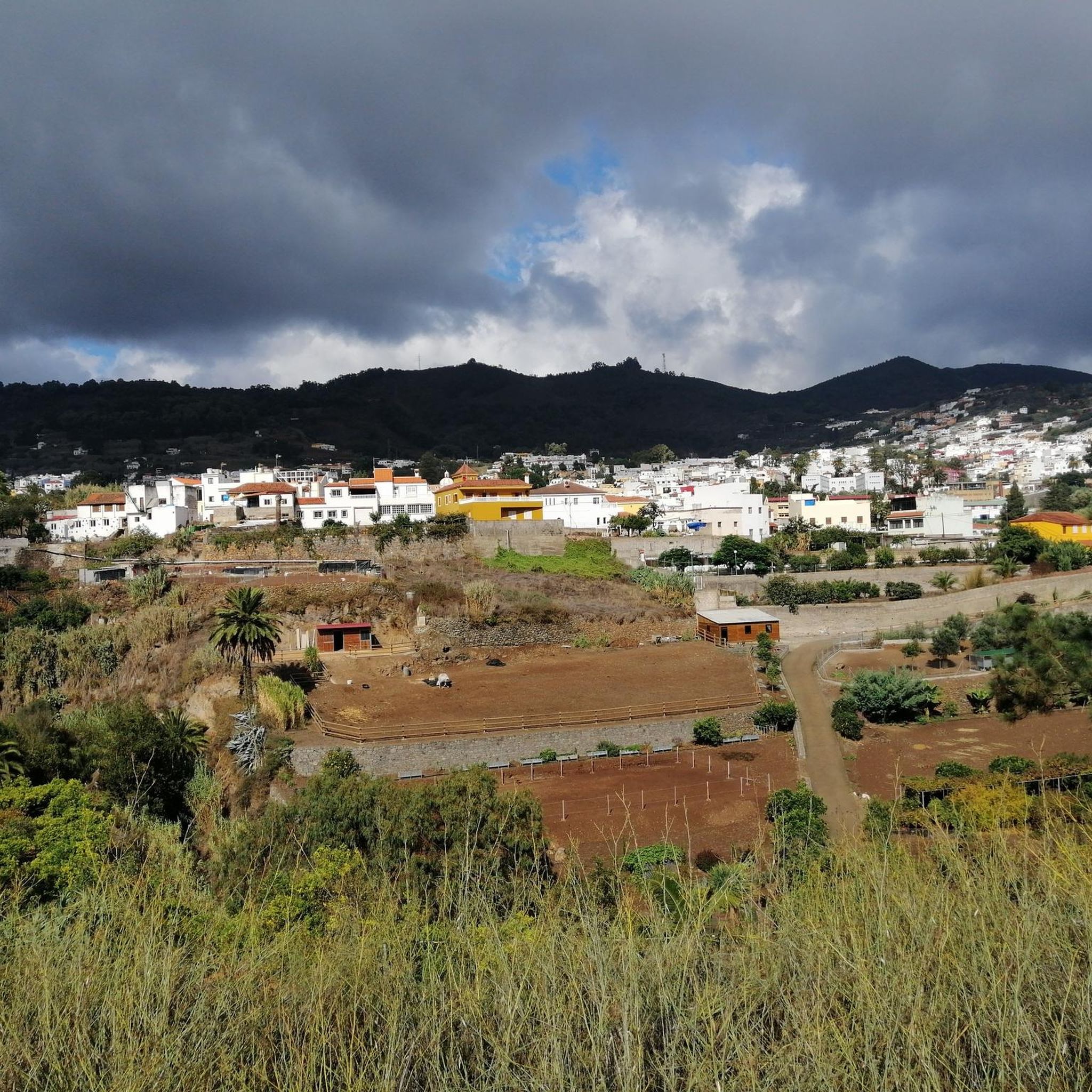
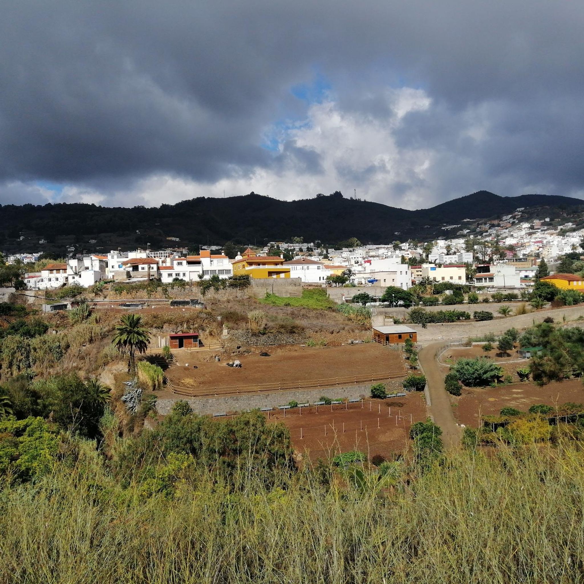
Located in the heart of Gran Canaria, La Culata is part of the municipality of Tejeda. It is made up of traditional houses built on the cliff face from which it gets its name. From the heights of the village, you can see the distribution of the houses and the terraced crops that adapt to the hills.
0
0
In a magnificent location in the middle of pine forests, you can choose here to take the upper or lower hiking trail to climb to Pico de las Nieves.
0
0

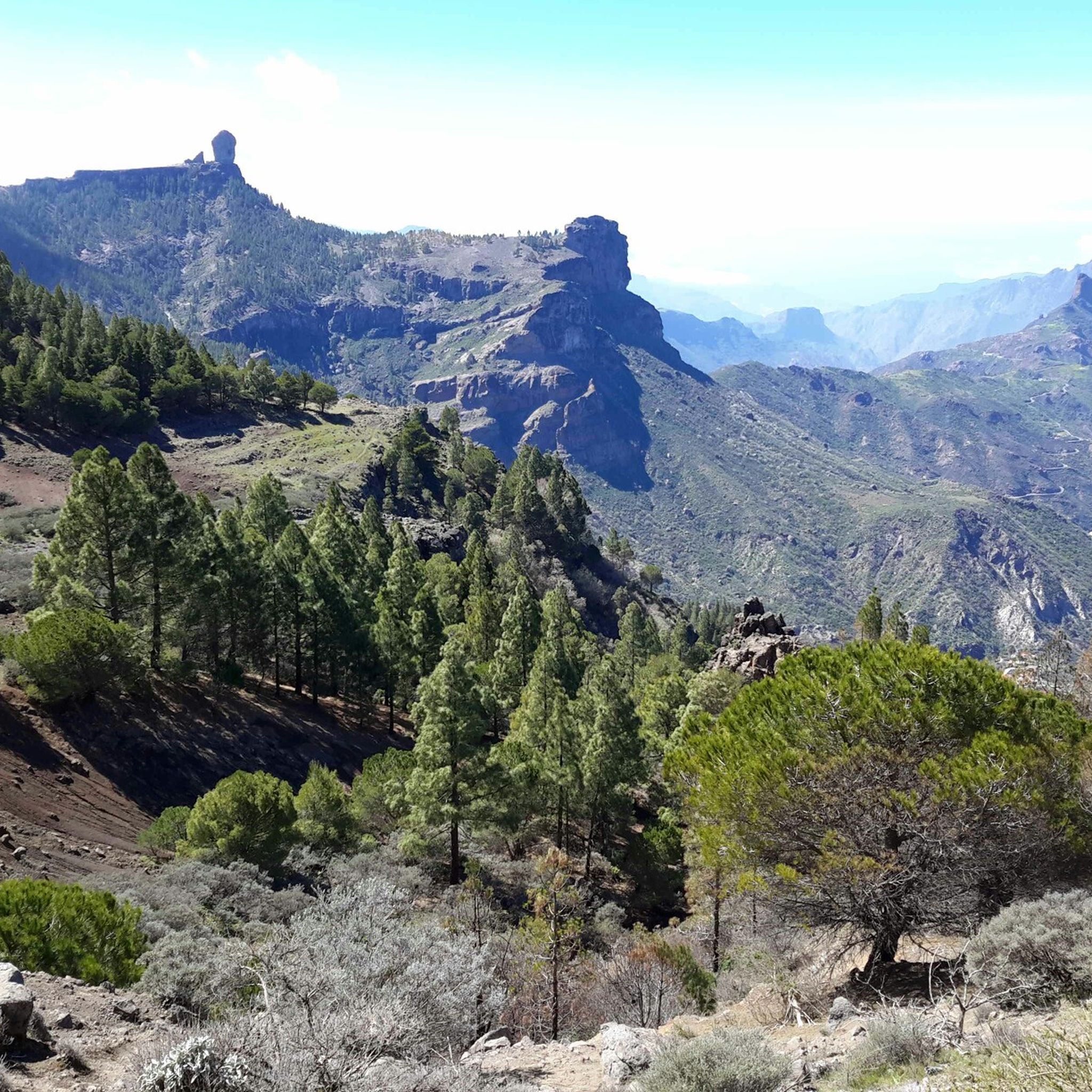
Our path to Roque Nublo leads here through a sparse pine forest.
0
0
In clear weather, the view from here extends all the way to Tenerife.
0
0

From here you have a wonderful view.
1
0
Beautiful view of the island's highest mountain.
0
0
From here we have a beautiful view of the Roque Nublo.
1
0
Frequently Asked Questions
How many mountaineering routes are available around Teror?
There are 6 distinct mountaineering routes around Teror listed in this guide. These routes offer a variety of experiences, from moderate to difficult, traversing the lush, green, and mountainous landscape of Gran Canaria.
What kind of terrain can I expect on mountaineering routes near Teror?
The terrain around Teror is characterized by lush ravines, volcanic peaks, and remnants of laurel forest. You'll encounter diverse ecosystems, including fern forests, eucalyptus groves, and areas with cacti. Routes often feature significant elevation gains, offering challenging ascents and panoramic views.
Are there any family-friendly mountaineering options in the Teror area?
While many routes around Teror involve significant elevation and can be challenging, the region also offers easier hiking opportunities. For a moderate experience that could be suitable for active families, consider the La Culata Church – La Culata village loop from Tejeda, which is 6.3 miles long and takes about 3 hours 24 minutes.
Can I bring my dog on the trails around Teror?
Many trails in Gran Canaria, including those around Teror, are generally dog-friendly, especially in natural parks and rural areas. However, it's always best to check local regulations for specific routes or protected areas like the Osorio Estate. Ensure your dog is on a leash and you carry waste bags.
Are there any circular mountaineering routes near Teror?
Yes, several routes are circular. For example, the La Culata Church – La Culata village loop from Tejeda is a popular circular trail. Another option is the Pico de las Nieves – View of Roque Nublo loop from Pico de las Nieves, offering stunning views from near Gran Canaria's highest point.
What are some notable natural landmarks or viewpoints I can see on these routes?
The routes offer incredible views of significant landmarks. You can experience the iconic Roque Nublo, a symbolic natural monument, or reach the Pico de las Nieves summit, the highest point of Gran Canaria. The Roque Nublo – View from the Roque Nublo loop from Clouded Rock specifically leads through volcanic landscapes to this iconic view.
Are there any waterfalls accessible from the mountaineering routes?
Yes, the Teror area is known for its lushness and water resources. You can find several waterfalls nearby, such as the Small Waterfall or the Large Waterfall. Some trails, like the Path to the waterfalls, are specifically designed to lead you to these natural features.
What is the best time of year for mountaineering in Teror?
Gran Canaria enjoys a mild climate year-round, making mountaineering possible in most seasons. However, the lushness of Teror is particularly vibrant after the rainy season (typically late autumn to spring). Summers can be hot, especially at lower altitudes, so spring and autumn often offer the most comfortable temperatures for longer routes.
How can I reach the trailheads using public transport?
Teror is well-connected by public transport within Gran Canaria, with bus services (guaguas) reaching the town center. From there, some trailheads, like those leading to the Osorio Estate, are within walking distance. For routes further afield, such as those near Roque Nublo or Pico de las Nieves, you might need to combine bus travel with a taxi or car rental, as direct public transport to all remote trailheads can be limited.
Where can I find parking for mountaineering routes around Teror?
Parking is generally available in and around Teror's town center. For routes starting from specific natural areas like the Osorio Estate, designated parking lots are usually provided. For more remote trailheads, such as those for Roque Nublo or Pico de las Nieves, there are often small parking areas, but these can fill up quickly during peak times, so arriving early is recommended.
What do other mountaineers enjoy most about the routes in Teror?
The mountaineering routes around Teror are highly rated by the komoot community, with an average score of 5.0 stars from over 20 reviews. Reviewers often praise the stunning panoramic views, the diverse and lush landscapes, and the challenging yet rewarding ascents. The unique volcanic terrain and the contrast of green forests against dramatic peaks are frequently highlighted.
Are there any challenging routes for experienced mountaineers?
Absolutely. Teror offers several difficult routes for experienced mountaineers. For instance, the Roque Nublo – View from the Roque Nublo loop from Clouded Rock is classified as difficult, featuring significant elevation gain over 5.1 miles. Another challenging option is the View from the Roque Nublo – View of Roque Nublo loop from Clouded Rock, which also offers a demanding experience with nearly 500 meters of ascent.
What are some good places to explore near Teror after a hike?
After a hike, you can explore the historic center of Teror itself, known for its traditional Canarian architecture. For more natural exploration, the Roque Nublo and Pico de las Nieves summit are iconic sites. The Osorio Estate, just 2 km from Teror, offers a beautiful natural area with forests and a traditional manor house, perfect for a relaxed visit.
Most popular attractions around Teror

Get inspired with the komoot mobile app


Explore more
Browse the best Mountain Hikes & Routes in other regions.
