The best cycling routes in Gateway National Recreation Area
4.6
(207)
3,032
riders
129
rides
Touring cycling routes in Gateway National Recreation Area traverse a 27,000-acre expanse across New York City and New Jersey, offering diverse landscapes for cyclists. The area features dedicated paved paths, including an 8.7-mile Multi-Use Pathway on Sandy Hook, guiding cyclists along beaches and past historical landmarks. Terrain includes grasslands, woodlands, sand dunes, beaches, and salt marshes, with some trails offering elevation changes up to 130 feet above sea level.
Best touring cycling routes in Gateway National Recreation Area
- The most popular touring cycling route is Sandy Hook Lighthouse – Bike Lane at Hartshorne Drive loop from Sandy Hook Lighthouse, a 10.3 miles (16.5 km) trail that takes 55 minutes to complete. This easy route offers views of Sandy Hook Bay and the historic Sandy Hook Lighthouse.
- Another top favourite among local touring cyclists is Beach at Far Rockaway – Rockaway Beach loop from Broad Channel, an easy 13.0 miles (20.9 km) path. This route provides coastal scenery along the beaches of Far Rockaway and Rockaway Beach.
- Local touring cyclists also love the Fountain Pier – Shirley Chisholm State Park loop from Shirley Chisholm State Park, a 7.3 miles (11.7 km) trail leading through Shirley Chisholm State Park, often completed in about 50 minutes. This path offers panoramic views of New York City.
- Touring cycling in Gateway National Recreation Area is defined by coastal paths, salt marshes, and woodlands. The network offers options for different ability levels, from easy loops to moderate distances.
- The routes in Gateway National Recreation Area are highly rated by the komoot community with an average score of 4.6 stars from over 190 reviews. More than 2800 touring cyclists have used komoot to explore Gateway National Recreation Area's varied terrain.
Last updated: July 11, 2026
5.0
(3)
68
riders
14.4km
00:49
10m
10m
Easy bike ride. Great for any fitness level. Mostly paved surfaces. Suitable for all skill levels.
34
riders
20.9km
01:11
20m
20m
Easy bike ride. Great for any fitness level. Mostly paved surfaces. Suitable for all skill levels.

Sign up for free
5.0
(1)
12
riders
Easy bike ride. Great for any fitness level. Mostly paved surfaces. Suitable for all skill levels.
4.7
(3)
42
riders
12.8km
00:45
10m
10m
Easy bike ride. Great for any fitness level. Mostly paved surfaces. Suitable for all skill levels.
7
riders
41.4km
02:28
150m
150m
Moderate bike ride. Good fitness required. Mostly paved surfaces. Suitable for all skill levels.
Get access to more routes and recommendations from other explorers.
Sign up for free
Already have an account?
Our route recommendations are based on thousands of hikes, rides, and runs completed by other people on komoot.
Start today with a free account
Your next adventure awaits.
Login or Signup

Tips from the Community

Wonderful beaches, a beautiful boardwalk, small food stalls. A day there is well worth it.
1
0

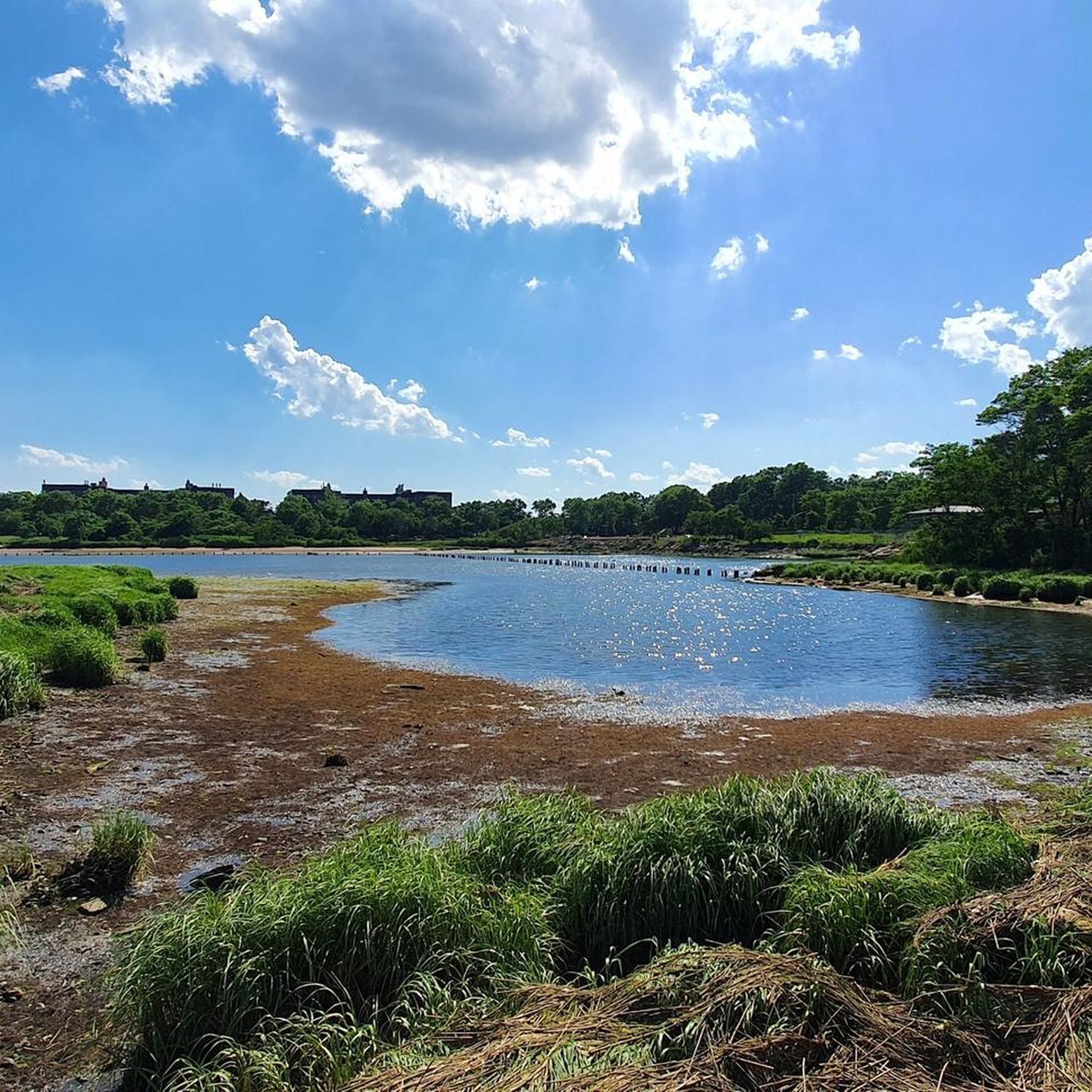
This is a nice beach at the edge of the field with good views over the water.
0
0
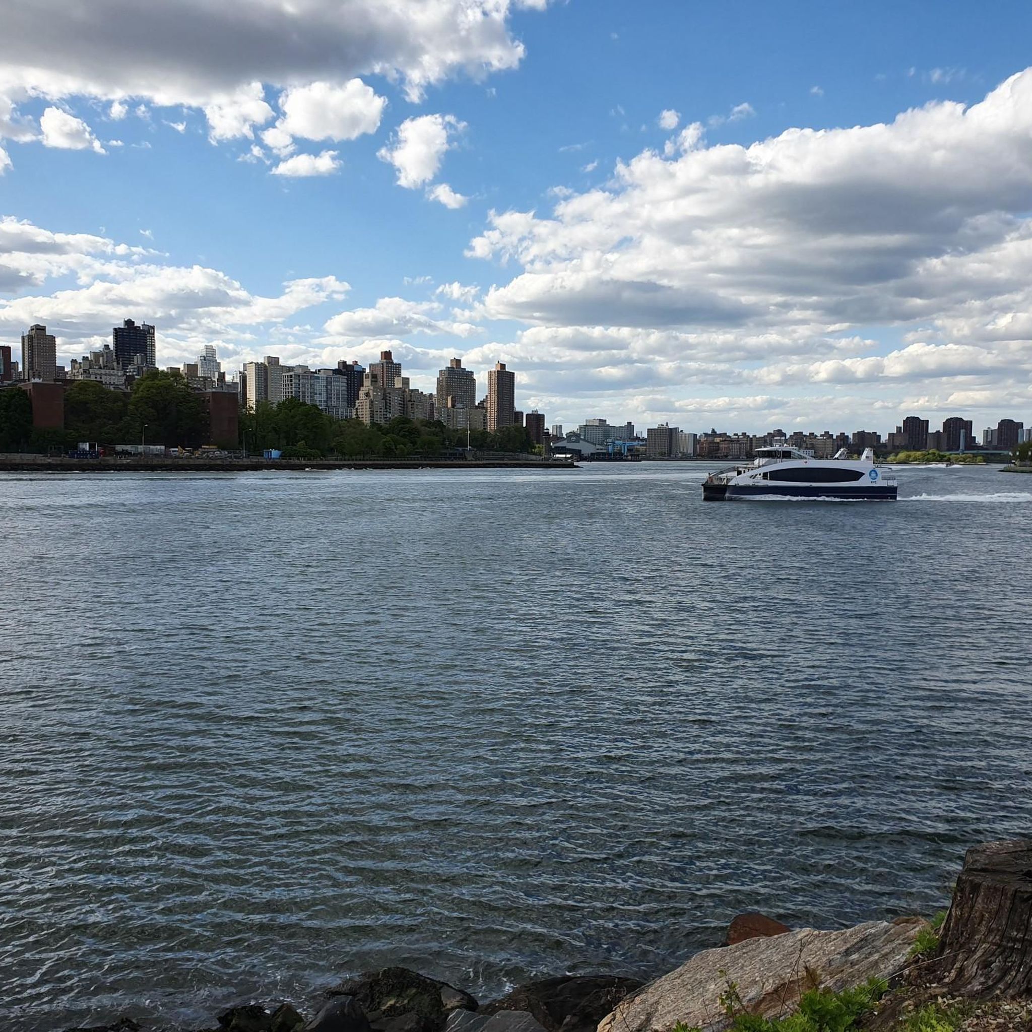
The first view of the skyline is always stunning for me. Finally, it feels like home again
1
0

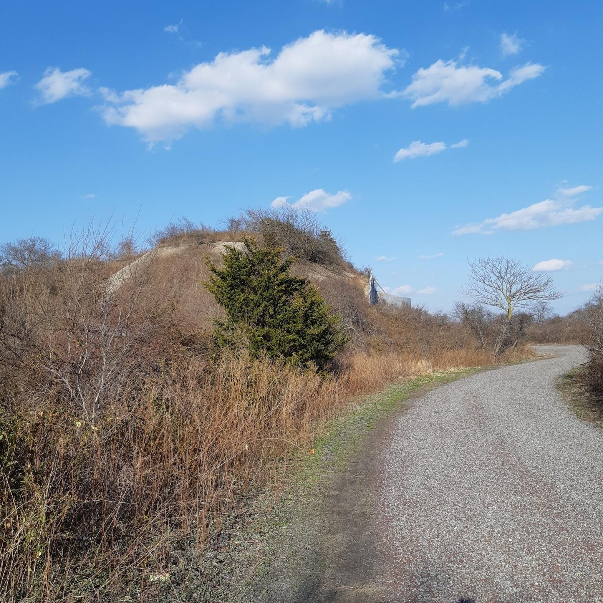
Can get there by foot or by bicycle or by car. This is one of the launch sites for the Nike missiles that were installed in the Cold War days for the last chance defense mechanism against an airborne attack.
0
0

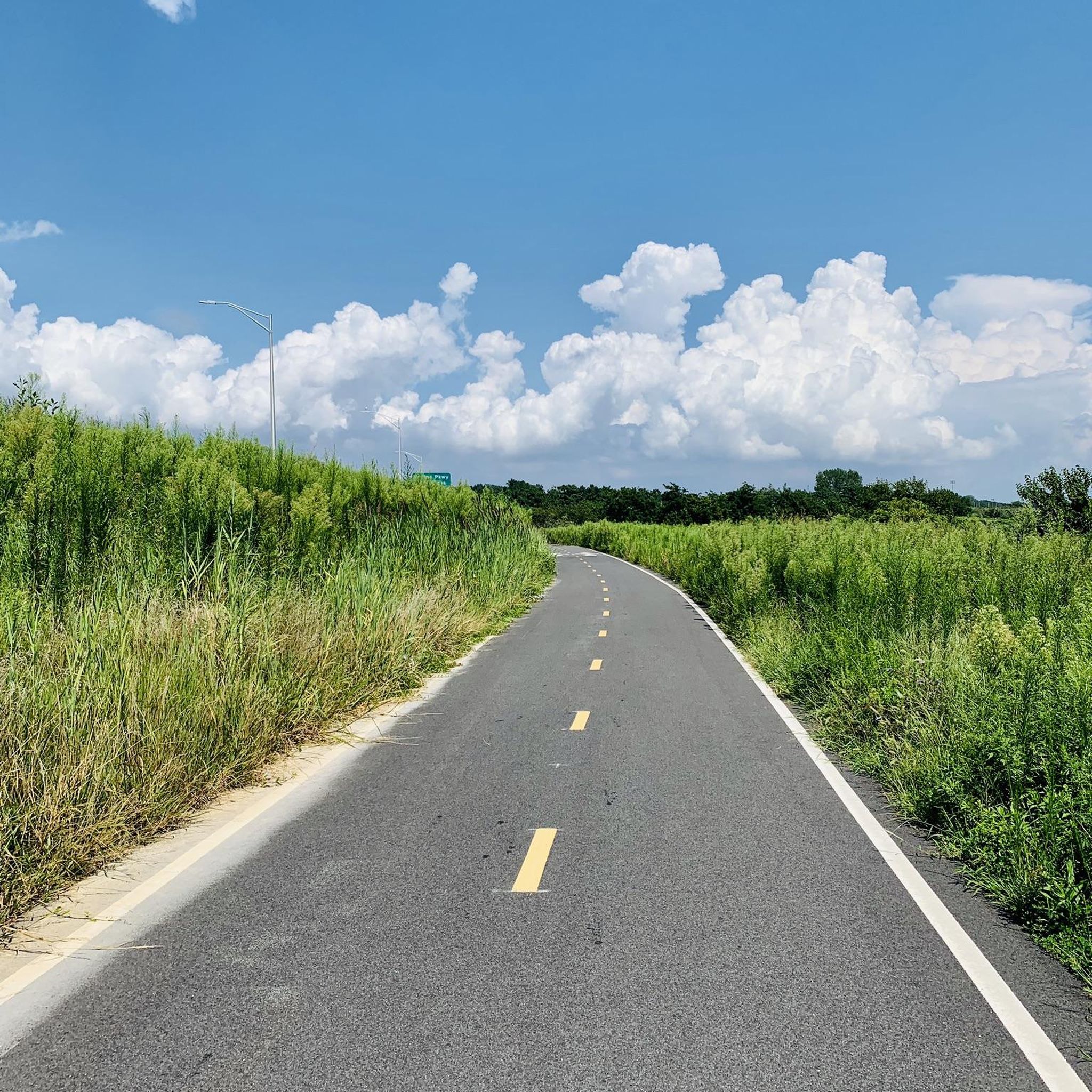
A lovely stretch to cycle on and take in the ocean views. It can get a little busy during the middle of the day. If this is the case, you can take the adjacent Shore Front Parkway Road.
1
0
This beach is the city's sole legal surfing beach. It makes a great place to take a break with the large sandy beach to sit on and watch the impressive surfers shred the waves.
0
0

The park was originally called Memorial Park, but the name was changed to Victory Park in 1945 to honor the Rumson residents who served in World War II.
0
0
Frequently Asked Questions
How many touring cycling routes are available in Gateway National Recreation Area?
Gateway National Recreation Area offers a wide selection of touring cycling routes, with over 120 options to explore. These routes cater to various skill levels, including 88 easy routes, 35 moderate routes, and a few more challenging options.
What is the best time of year to go touring cycling in Gateway National Recreation Area?
The Gateway National Recreation Area is enjoyable for touring cycling throughout much of the year. Spring and fall offer pleasant temperatures and vibrant scenery. Summer is also popular, especially for routes along the beaches, but can be warmer. Winter cycling is possible, though some amenities might be limited.
Are there routes suitable for beginners or families in Gateway National Recreation Area?
Yes, Gateway National Recreation Area is very family-friendly and offers many easy routes perfect for beginners. For example, the Fountain Pier – Shirley Chisholm State Park loop from Shirley Chisholm State Park is an easy 7.3-mile (11.7 km) path with panoramic views of New York City, suitable for a relaxed family ride.
What kind of terrain can I expect on touring cycling routes in Gateway National Recreation Area?
You can expect a diverse range of terrain, from paved multi-use pathways, such as the 8.7-mile path on Sandy Hook, to trails traversing grasslands, woodlands, sand dunes, and salt marshes. Some routes, particularly within Shirley Chisholm State Park, offer gentle elevation changes of up to 130 feet above sea level, providing varied experiences.
Are there any circular touring cycling routes in the area?
Yes, many of the touring cycling routes in Gateway National Recreation Area are designed as loops, making them convenient for exploration. An example is the Beach at Far Rockaway – Rockaway Beach loop from Broad Channel, an easy 13.0-mile (20.9 km) path offering coastal scenery.
What historical landmarks can I see while cycling in Gateway National Recreation Area?
The area is rich in history. While cycling, you can pass by significant sites like the Sandy Hook Lighthouse, the oldest operating lighthouse in the U.S., or explore the historic military post of Fort Hancock. Other notable historical sites include Fort Wadsworth on Staten Island and Floyd Bennett Field, New York's first municipal airport, now a public park.
Where can I experience the natural beauty and wildlife of Gateway National Recreation Area?
Gateway National Recreation Area is a haven for nature lovers. The Jamaica Bay Wildlife Refuge Trail is a prime spot for birdwatching, with over 300 species. You can also explore pristine beaches, tranquil ponds, and vital salt marshes, particularly around Breezy Point and Sandy Hook, which are crucial habitats for various wildlife, including endangered shorebirds.
Are there any specific viewpoints along the cycling routes?
Absolutely! Many routes offer stunning views. From Shirley Chisholm State Park, you can enjoy panoramic vistas of the New York City skyline. The Sandy Hook Unit provides expansive views of Sandy Hook Bay and the ocean. Additionally, the Cross Bay City View and West Pond Viewpoint offer picturesque scenes of the bay and its surroundings.
Is parking available for touring cyclists at Gateway National Recreation Area?
Yes, parking is generally available at various access points throughout Gateway National Recreation Area. Specific parking areas can be found near popular units like Sandy Hook, Floyd Bennett Field, and Shirley Chisholm State Park. It's advisable to check the National Park Service website for detailed parking information and any potential fees or seasonal restrictions.
Can I reach the touring cycling routes by public transport?
Given its location spanning New York City and New Jersey, many parts of Gateway National Recreation Area are accessible by public transport. Options may include buses or ferries, depending on the specific unit you wish to visit. For detailed public transport information, it's best to consult local transit authorities or the official National Park Service website for Gateway.
Are there places to eat or get refreshments near the cycling routes?
While the recreation area itself focuses on natural and historical preservation, some units, like Jacob Riis Park, feature amenities such as concessions and food vendors, especially during peak seasons. Additionally, due to its proximity to urban areas, you'll find various cafes, restaurants, and shops in nearby towns and neighborhoods surrounding the park units.
What do other touring cyclists enjoy most about the routes in Gateway National Recreation Area?
The touring cycling routes in Gateway National Recreation Area are highly rated by the komoot community, with an average score of 4.6 stars from over 190 reviews. Reviewers often praise the diverse landscapes, the blend of natural beauty with historical landmarks, and the accessibility of the routes, making it a unique escape from city life.
Are there routes with significant elevation changes for a more challenging ride?
While many routes are easy to moderate, some areas within Gateway National Recreation Area do offer more varied topography. For instance, Shirley Chisholm State Park features trails with elevation changes of approximately 130 feet above sea level, providing a slightly more challenging experience compared to the flatter coastal paths. For a longer, moderate ride with more elevation, consider the Sandy Hook Lighthouse – Sandy Hook Bay loop from Fort Hancock.
Most popular routes in Gateway National Recreation Area
Most popular attractions in Gateway National Recreation Area

Get inspired with the komoot mobile app


Explore more
Browse the best Cycling routes in other regions.
