Santa Rosa And San Jacinto Mountains National Monument
Santa Rosa And San Jacinto Mountains National Monument
The best running trails in Santa Rosa And San Jacinto Mountains National Monument
4.8
(14)
592
runners
106
runs
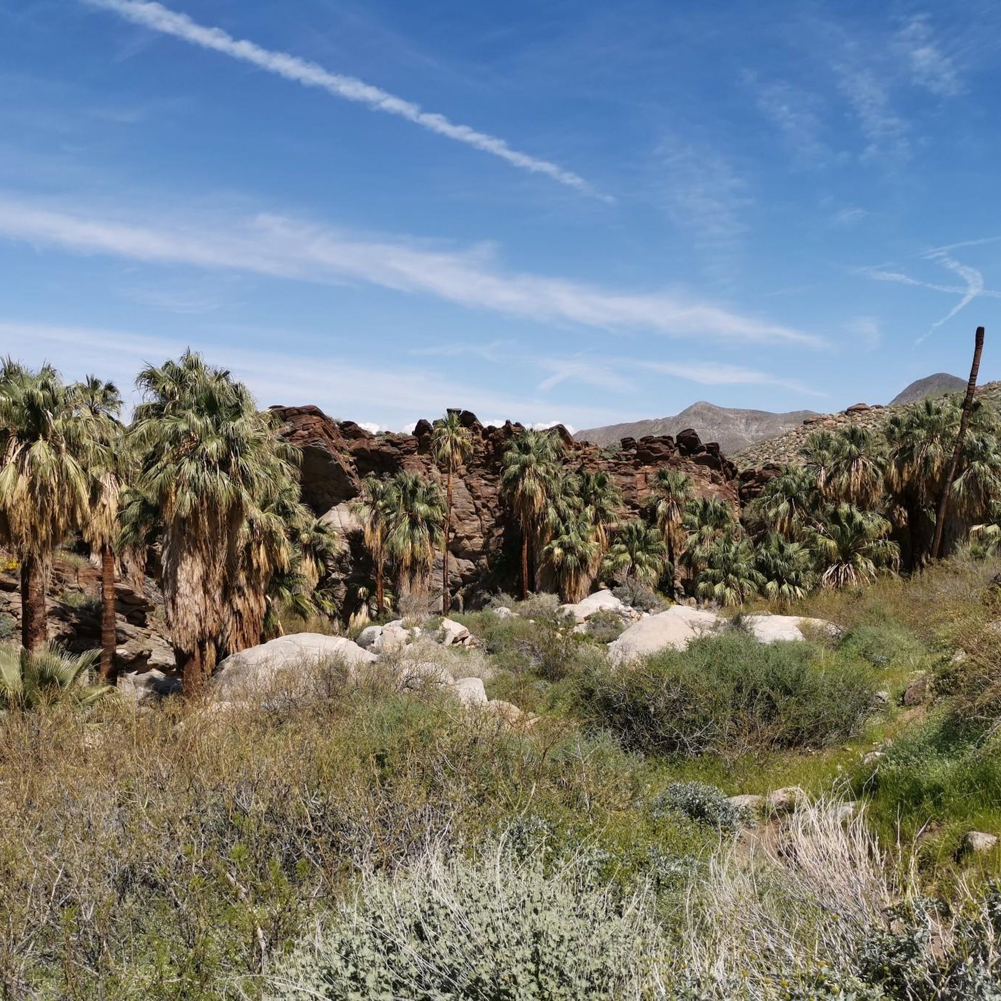
Jogging in Santa Rosa And San Jacinto Mountains National Monument offers a diverse range of environments, from arid desert landscapes to cooler alpine forests. The region is characterized by dramatic elevation changes, with trails ascending from the desert floor to significant mountain peaks. Runners can explore unique palm oases and canyons, providing varied terrain and scenic backdrops for their activities. This extensive trail system caters to different fitness levels, with options ranging from gentle paths to challenging mountain ascents.
Best…
Last updated: July 7, 2026
20
runners
16.0km
02:21
730m
730m
The San Jacinto Peak via Round Valley Trail offers an unforgettable jogging experience, taking you through diverse terrain from lush pine forests and meadows to exposed alpine environments. You'll start…
16
runners
11.4km
01:27
350m
350m
The South Lykken Trail Loop offers a truly immersive desert jogging experience, winding through rugged terrain that showcases the Sonoran Desert's unique beauty. You'll navigate rocky paths and switchbacks, with…

Sign up for free
10
runners
15.2km
01:56
580m
580m
Hard run. Very good fitness required. Mostly paved surfaces. Suitable for all skill levels.
9
runners
2.83km
00:25
120m
120m
The Tahquitz Canyon Loop Trail offers a dynamic desert experience, winding through a dramatic landscape of towering canyon walls and unique desert flora. You'll navigate rocky singletrack and natural stone…
7
runners
6.23km
00:45
200m
200m
The Murray Canyon Trail offers a striking journey from open desert to a vibrant palm oasis, culminating at the beautiful Seven Sisters Waterfall. You'll traverse sandy washes, navigate rocky sections,…
Get access to more routes and recommendations from other explorers.
Sign up for free
Already have an account?
Our route recommendations are based on thousands of hikes, rides, and runs completed by other people on komoot.
Start today with a free account
Your next adventure awaits.
Login or Signup
Popular around Santa Rosa And San Jacinto Mountains National Monument

Pacific Crest Trail from Mexico to Canada – 4,200 kilometres of wilderness

The tour of your life – music trails on the Pacific coast
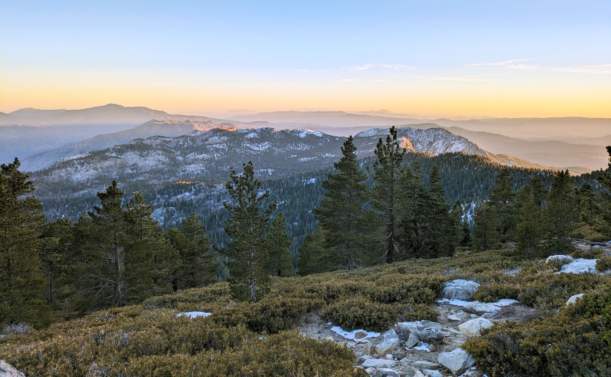
Climbing Mount San Jacinto on the Deer Springs Trail
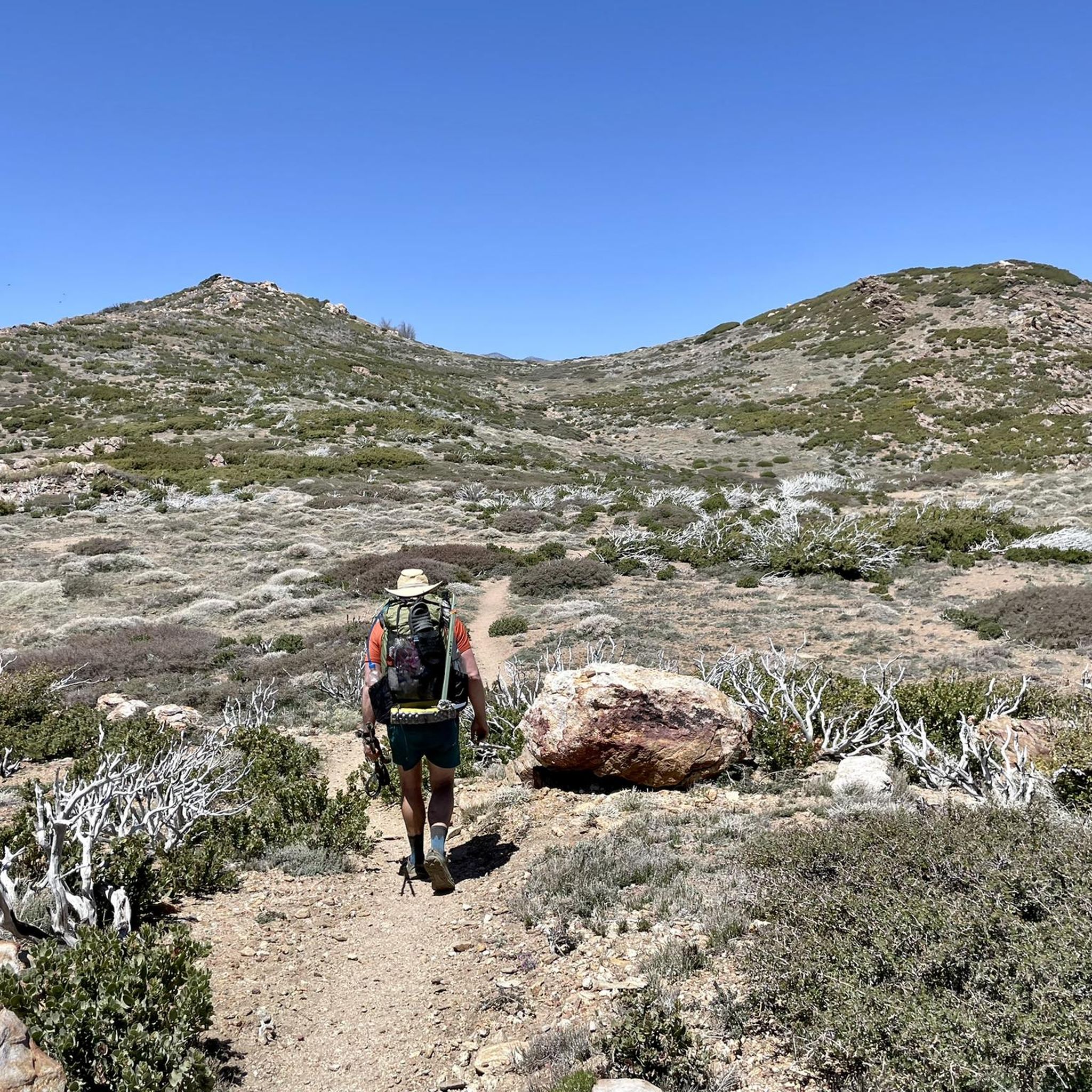
Hiking in Santa Rosa And San Jacinto Mountains National Monument
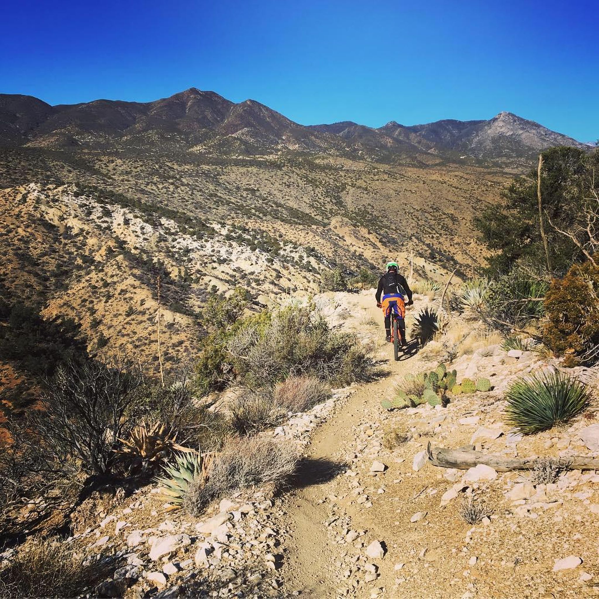
MTB Trails in Santa Rosa And San Jacinto Mountains National Monument
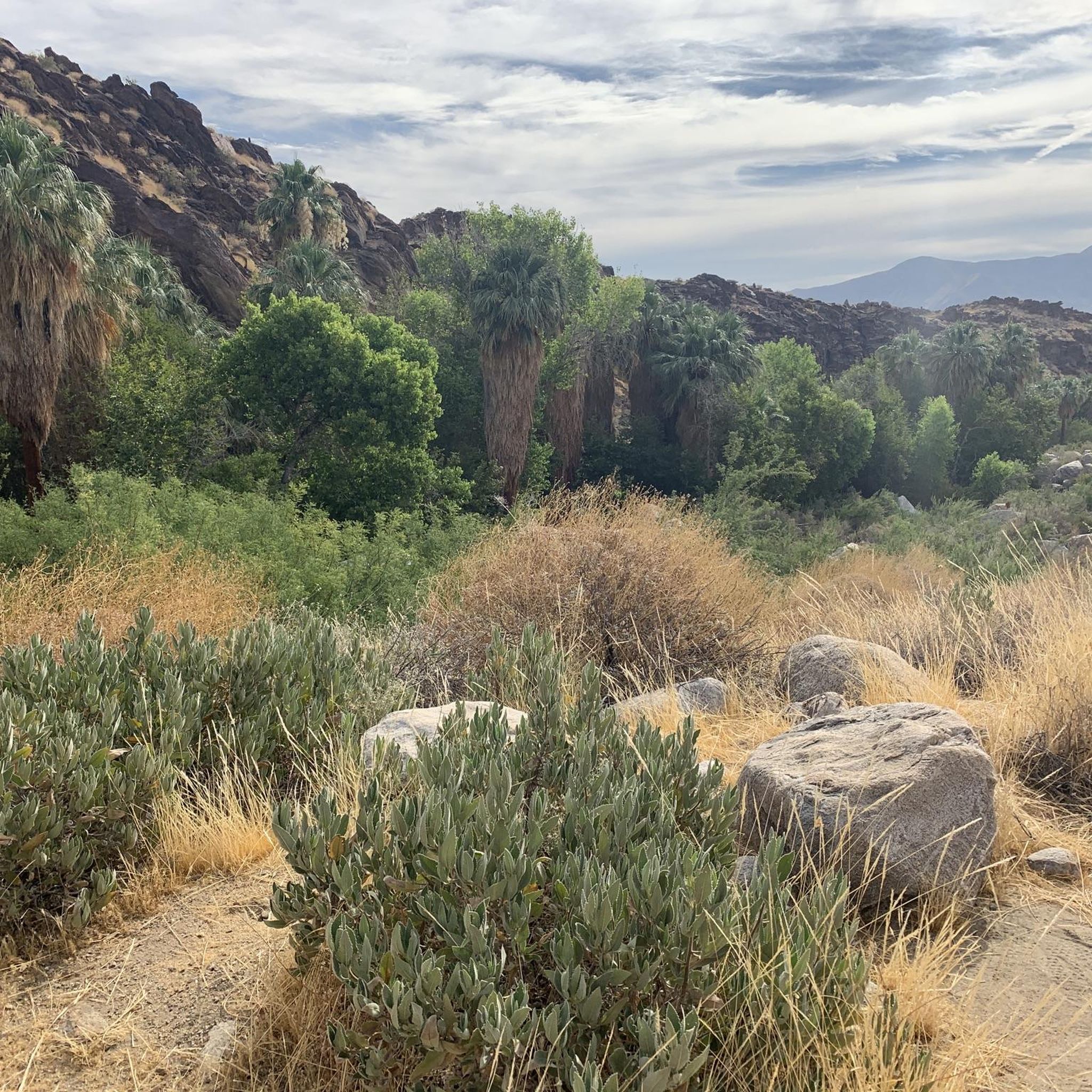
Cycling in Santa Rosa And San Jacinto Mountains National Monument
Road Cycling Routes in Santa Rosa And San Jacinto Mountains National Monument
Other adventures in Santa Rosa And San Jacinto Mountains National Monument


Tips from the Community

Located along the South Lykken Trail, Josie Johnson Vista Park has wonderful views across Palm Springs, Santa Rosa, and the San Jacinto Mountains. Take a moment to catch your breath here and admire the desert scenery around you.
0
0
Working your way uphill to this viewpoint is well worth the effort. Once you arrive take a few minutes to let your legs recover while enjoying the view across the valley and surrounding mountains. With a bit of luck you might even see some bighorn sheep along the hillside.
0
0

Murray Canyon Trail enchants with a series of petite waterfalls flowing within its hidden recesses.
0
0
Tahquitz Falls, nestled in Southern California's San Jacinto Mountains, captivates with its 60-foot cascade, lush surroundings, and a serene ambiance, offering a refreshing oasis and scenic beauty.
0
0

Wellman Divide is at a trail junction at 9700 feet above sea level. From here you can choose to go... South on Wellman's Cienaga Trail... East on Round Valley trail, taking you back to the restaurant... Or North on Peak Trail to the San Jacinto Summit.
0
0

With 10,883 feet, Mount San Jacinto is the highest peak in the San Jacinto Mountains. There is a network of hiking trails around the summit and the San Jacinto State Park itself. If the weather turns for the worst, you can find shelter in a little hut close to the summit. You can either take a hike from Idyllwild on the west side of the mountain or Palm Springs on the east side. There is also an aerial tramway you can use to get into the San Jacinto Wilderness. If you feel adventurous, you can cross the mountain range using the Pacific Crest Trail.
0
0
This cool refreshing waterfall is after the "end of trail" sign. Continue on past the end of the trail to the waterfall at your own risk! This involves a short rock scramble about 200-300 feet further, and watch for slippery rocks near the pool.
0
0

We were here once in June, where you have the beautiful waterfall at the end of the gorge, but it is usually full of people. So you should go there as soon as possible when it opens, especially since it's approaching 40 degrees after 10 a.m. in June anyway. However, the gorge was more beautiful in winter, around November/December. Here the bushes were in bloom and hummingbirds were buzzing around everywhere.
1
0
Frequently Asked Questions
How many running trails are available in Santa Rosa And San Jacinto Mountains National Monument?
The Santa Rosa And San Jacinto Mountains National Monument offers a diverse network of 11 running routes. These include 2 easy trails, 5 moderate trails, and 4 difficult trails, catering to a wide range of fitness levels and preferences.
What makes running in Santa Rosa And San Jacinto Mountains National Monument a unique experience?
Jogging here is unique due to the dramatic transition from arid desert landscapes to cooler alpine forests, with significant elevation changes. Runners can explore diverse ecosystems, including magnificent palm oases like Palm Canyon and the Indian Canyons, providing varied terrain and breathtaking scenery.
What do other runners say about the trails in Santa Rosa And San Jacinto Mountains National Monument?
The running routes in the monument are highly rated by the komoot community, with an average score of 4.9 stars from over 10 reviews. More than 500 runners have used komoot to explore the varied terrain, often praising the diverse landscapes and challenging ascents.
Are there easy running routes suitable for beginners or families?
Yes, there are several easy running options. For instance, the Andreas Canyon Loop Trail is a gentle 1.08-mile path, perfect for a relaxed jog. Another great choice is the Victor Trail Loop, an easy 2.95-mile route.
Can I find challenging running routes with significant elevation gain?
Absolutely. For those seeking a challenge, the monument offers routes with substantial elevation. The San Jacinto Peak via Round Valley Trail is a difficult 9.97-mile route with over 2,400 feet of elevation gain, leading to the impressive San Jacinto Peak.
Are there scenic routes that pass through unique natural features like palm oases?
Yes, the monument is famous for its palm oases. The Murray Canyon Trail is a 3.87-mile moderate route that leads through a beautiful palm oasis and canyon, offering a distinct desert jogging experience.
What kind of terrain can I expect on the running trails?
The terrain varies significantly. You'll encounter everything from hot, semi-arid desert environments with creosote bush and chaparral at lower elevations to cooler, temperate higher elevations featuring pine forests. Some trails are well-maintained paths, while others can be more technical with rocky sections and steep inclines.
What are some notable landmarks or viewpoints I can see while running?
Many routes offer stunning views and pass by significant landmarks. You might encounter San Jacinto Peak, Tahquitz Peak, or the unique Palm Canyon. The Palm Springs Aerial Tramway Mountain Station also provides access to high-elevation trails with panoramic vistas.
Is it possible to access higher elevation trails without a strenuous climb from the valley floor?
Yes, the Palm Springs Aerial Tramway offers a unique way to access higher elevation trails. It transports visitors from the desert floor up to 8,516 feet, providing access to over 50 miles of trails in the San Jacinto Wilderness, where temperatures are significantly cooler.
Are there any circular running routes in the monument?
Yes, several routes are designed as loops, allowing you to start and end at the same point. Examples include the Tahquitz Canyon Loop Trail, a moderate 1.76-mile path, and the easy Andreas Canyon Loop Trail.
What is the best time of year to go running in the Santa Rosa And San Jacinto Mountains National Monument?
The best time depends on the elevation you plan to run. Lower desert trails are ideal in cooler months (fall, winter, spring). During warmer months, higher elevations accessed via routes like the Palm Springs Aerial Tramway offer a reprieve from the desert heat and provide cooler temperatures for running.
Where can I find more information about the Santa Rosa And San Jacinto Mountains National Monument?
For additional information, maps, and to speak with staff about recreational opportunities, you can visit the Santa Rosa and San Jacinto Mountains National Monument Visitor Center on Highway 74 or the Idyllwild Ranger Station. You can also visit the official website of the Bureau of Land Management for the monument: blm.gov.
Most popular routes in Santa Rosa And San Jacinto Mountains National Monument
Most popular attractions in Santa Rosa And San Jacinto Mountains National Monument

Get inspired with the komoot mobile app


Explore more
Browse the best Running Trails & Routes in other regions.
