Santa Rosa And San Jacinto Mountains National Monument
Santa Rosa And San Jacinto Mountains National Monument
The best cycling routes in Santa Rosa And San Jacinto Mountains National Monument
4.9
(12)
360
riders
50
rides
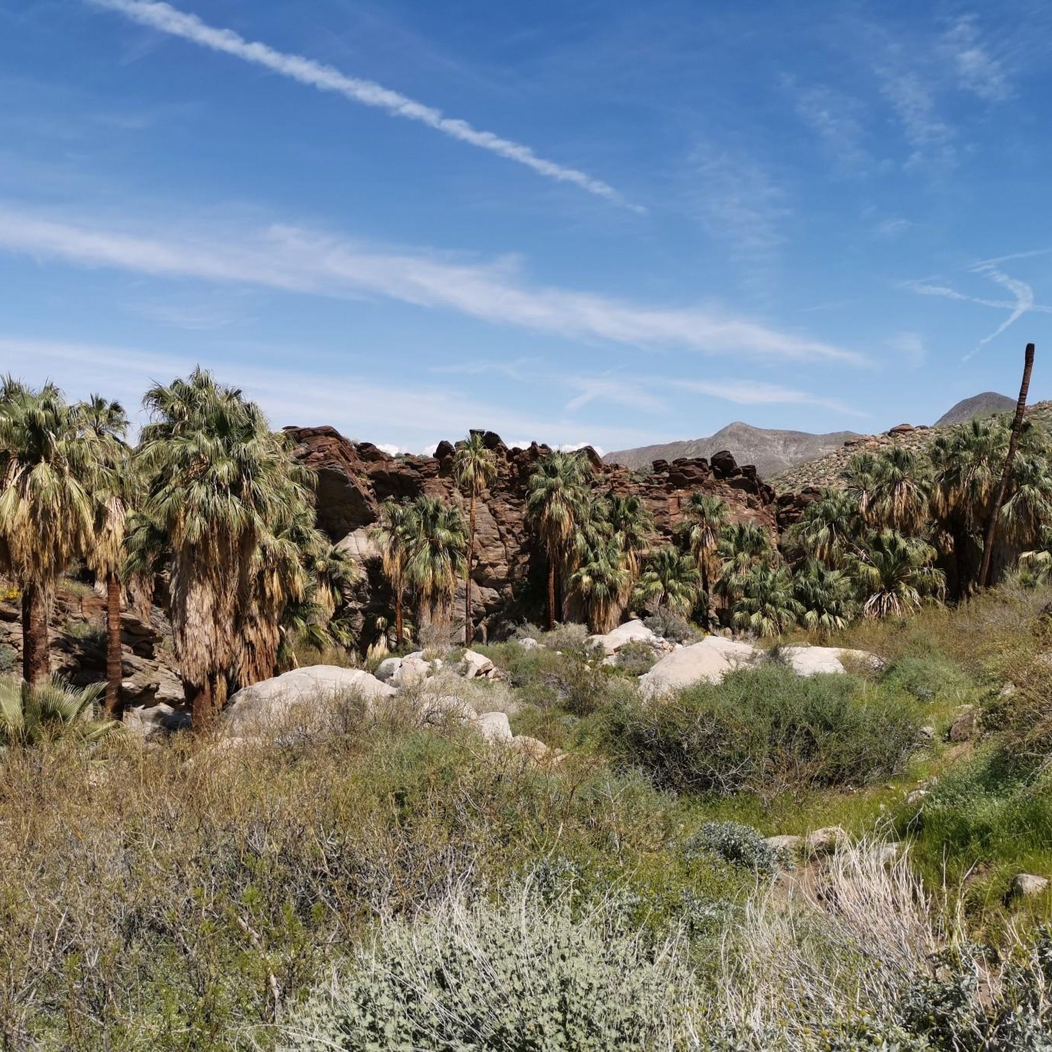
Touring cycling in Santa Rosa and San Jacinto Mountains National Monument offers diverse landscapes, transitioning from arid desert floors to high mountain peaks. The region is characterized by dramatic elevation changes, numerous canyons, and unique geological formations, including lush palm oases. Cyclists can experience varied ecosystems, from chaparral and cactus at lower elevations to pinyon pines and yucca plants higher up. This creates a range of terrain suitable for different touring cycling experiences.
Best touring cycling routes in Santa Rosa…
Last updated: October 16, 2026
38.5km
02:12
170m
170m
Moderate bike ride. Good fitness required. Mostly paved surfaces. Suitable for all skill levels.
5.0
(1)
1
riders
13.4km
00:47
70m
70m
Easy bike ride. Great for any fitness level. Mostly paved surfaces. Suitable for all skill levels.

5.0
(2)
26
riders
48.9km
03:01
390m
390m
Hard bike ride. Good fitness required. You may need to push your bike for some segments of this route.
18
riders
41.6km
02:25
160m
160m
Hard bike ride. Good fitness required. You may need to push your bike for some segments of this route.
5.0
(1)
8
riders
33.1km
01:56
100m
100m
Hard bike ride. Great for any fitness level. You may need to push your bike for some segments of this route.
Get access to more routes and recommendations from other explorers.
Already have an account?
Our route recommendations are based on thousands of hikes, rides, and runs completed by other people on komoot.
Start today with a free account
Your next adventure awaits.
Popular around Santa Rosa And San Jacinto Mountains National Monument

Pacific Crest Trail from Mexico to Canada – 4,200 kilometres of wilderness

The tour of your life – music trails on the Pacific coast
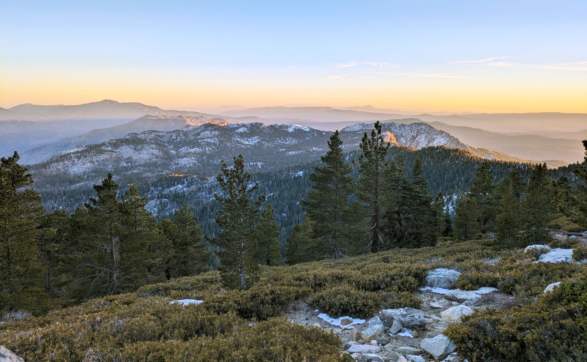
Climbing Mount San Jacinto on the Deer Springs Trail
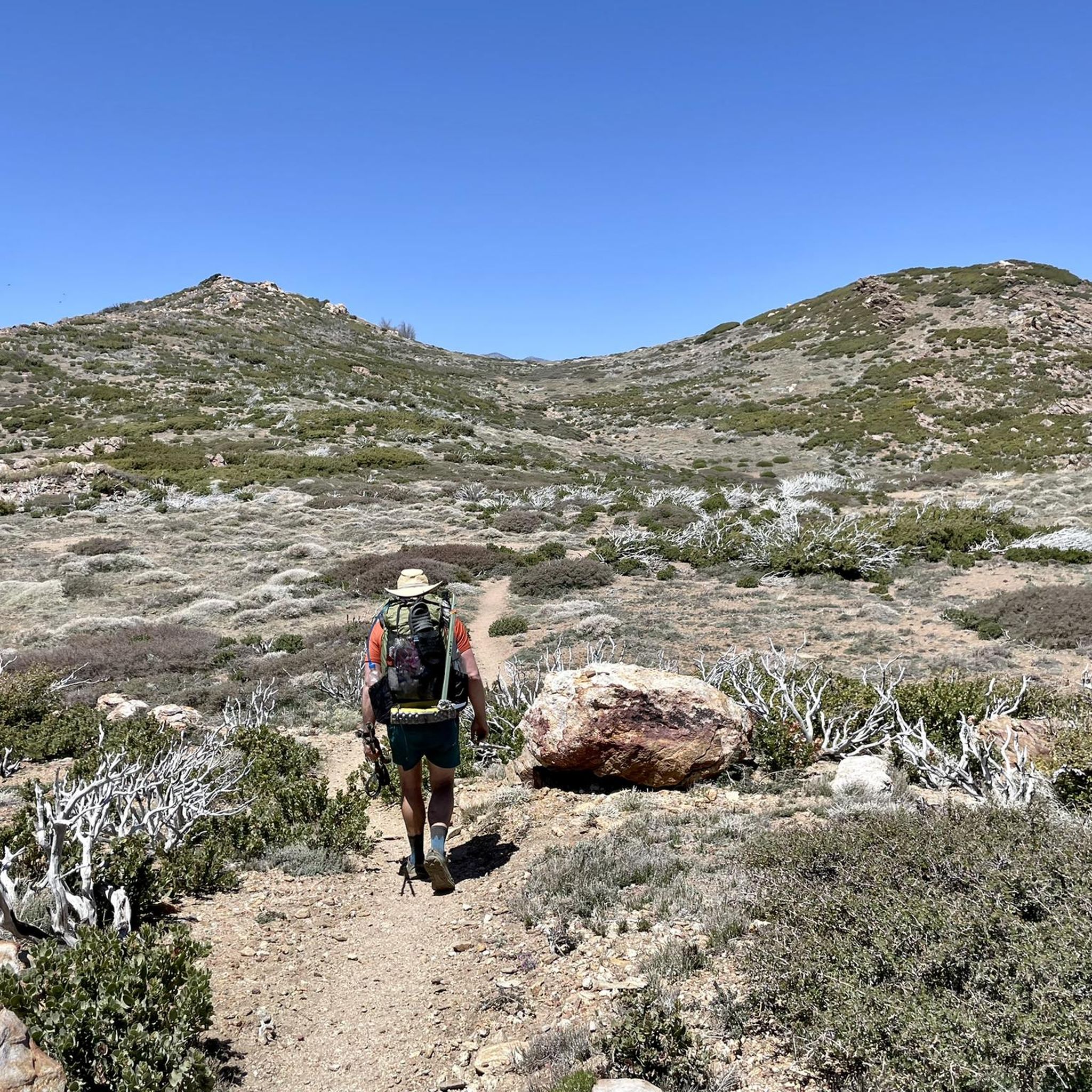
Hiking in Santa Rosa And San Jacinto Mountains National Monument
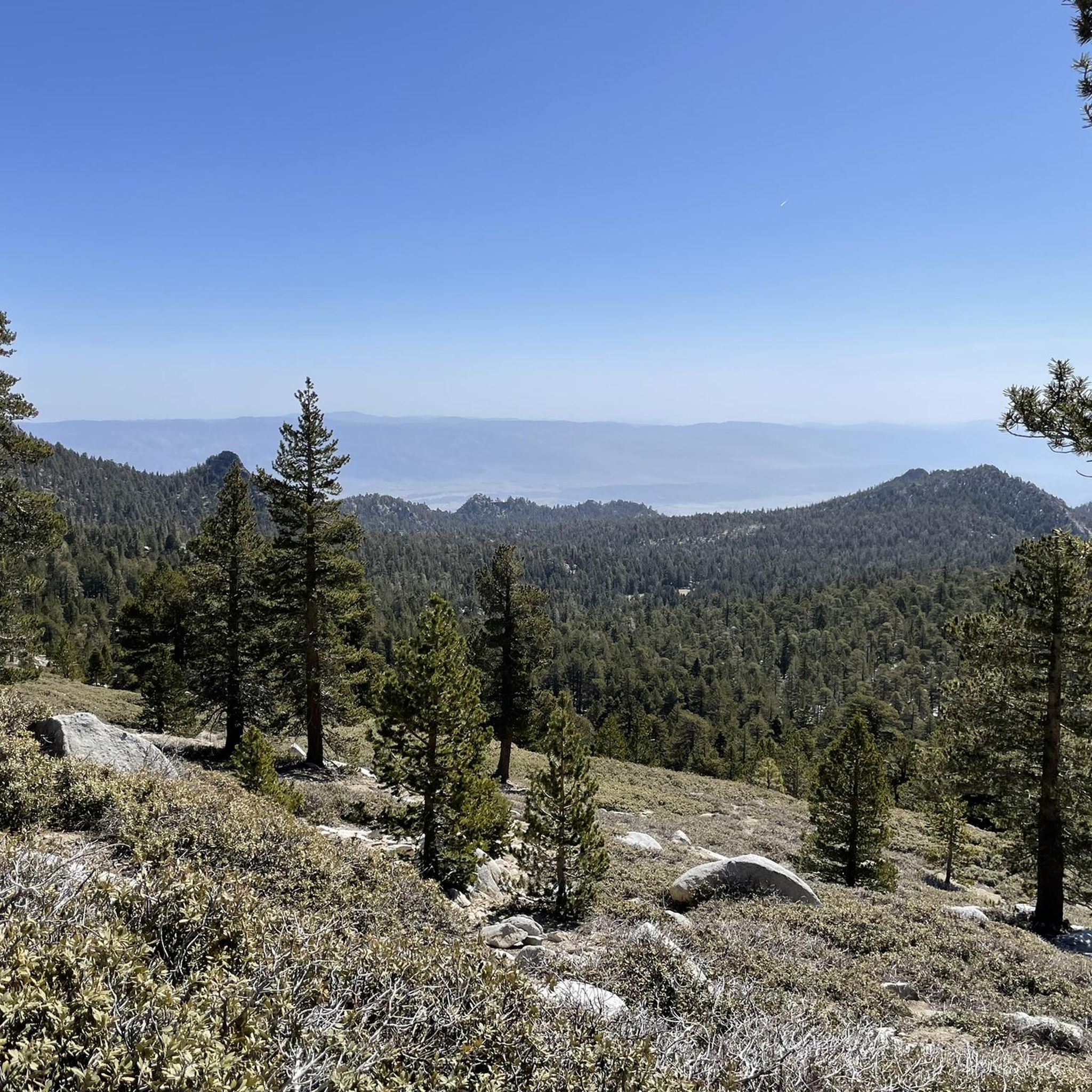
Running Trails in Santa Rosa And San Jacinto Mountains National Monument
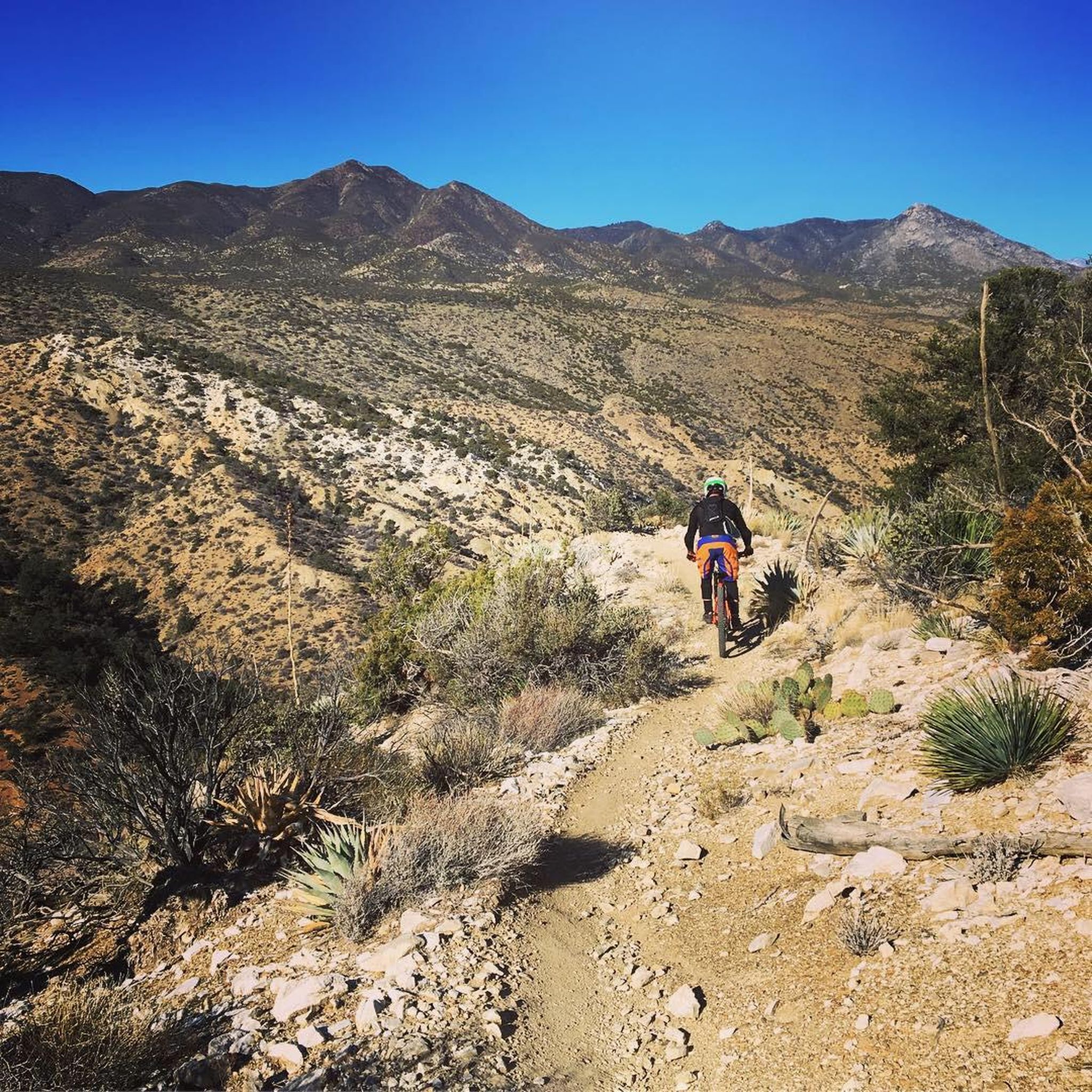
MTB Trails in Santa Rosa And San Jacinto Mountains National Monument
Road Cycling Routes in Santa Rosa And San Jacinto Mountains National Monument
Other adventures in Santa Rosa And San Jacinto Mountains National Monument


Tips from the Community

This is a great vantage point to see the wind farm. Remember the turbines are there because it’s windy…
0
0

The Palm Springs Art Museum, itself a work of art designed by mid-century master architect E. Stewart Williams, is located on North Museum Way in downtown and is the unmissable crown jewel of Palm Springs' passion for the arts.
5
0
The Forever Marilyn Statue in Palm Springs is an iconic landmark that captures the essence of old Hollywood glamour. Created by artist Seward Johnson, the 1,000-foot-tall statue depicts Marilyn Monroe in her famous pose from the 1955 film The Seven Year Itch. The statue is a must-see in the heart of Palm Springs and a popular photo spot.
4
0

The Frank Sinatra House is also known as Twin Palms and is a historic mid-century modern home built in 1947 for the legendary entertainer Frank Sinatra in Palm Springs. Designed by architect E. Stewart Williams, it is located in the Movie Colony neighborhood. The house features four bedrooms, a piano-shaped swimming pool, and iconic period details, such as expansive glass walls and clean architectural lines. Sinatra hosted many famous parties at the home, which became a symbol of Hollywood glamour in the desert. Today, the property is privately owned and available for vacation rentals or private events, preserving its legacy as a cultural landmark.
1
0
The Palm Springs Art Museum is in downtown Palm Springs, California, and houses a diverse collection of art, including contemporary works, modern pieces, Native American artifacts, and Western art. The museum also features rotating exhibitions, a sculpture garden, and educational programs. There is a theater for performances and events, as well as a café and a store.
0
0
This section of the somewhat disjointed Palm Springs CV Link Bike Path runs through Demuth Park section. This paved multi-use path is open to cyclist, joggers, and walkers, and offers nice views to the mountains over a golf course and other green spaces.
0
0
The Palm Springs CV Link Path is a multi-use trail that runs over concrete slabs from East Ramon to Vista Chino Road. It is open for pedestrians, cyclists, and runs alongside the Whitewater River wash, providing scenic views of desert landscapes and mountains. Unfortunately this segment of the path starts and ends on very busy roads/ highways, which don't have bike lanes.
1
0
South Palm Canyon Drive in Palm Springs, CA, is considered the Main Street of Palm Springs. This vibrant hub for shopping and dining is lined with boutiques, galleries, and upscale restaurants, cozy cafes, and casual eateries. There are many outdoor patios with great mountain views for you to take in before, during, or after a ride around the area.
0
0
Frequently Asked Questions
How many touring cycling routes are available in Santa Rosa and San Jacinto Mountains National Monument?
There are over 40 touring cycling routes available in the Santa Rosa and San Jacinto Mountains National Monument. These routes offer a variety of experiences, from easy loops to challenging climbs, catering to different fitness levels.
What types of terrain can I expect on touring cycling routes in the Santa Rosa and San Jacinto Mountains?
The region offers diverse terrain, transitioning from arid desert floors to high mountain peaks. You'll encounter dramatic elevation changes, numerous canyons, and unique geological formations. Routes can range from dedicated bike paths in the desert valleys to challenging climbs on mountain roads, showcasing ecosystems from chaparral and cactus to pinyon pines and yucca plants.
Are there any easy touring cycling routes suitable for beginners or families?
Yes, there are several easy routes perfect for beginners or families. An example is the South Palm Canyon Drive to South Sunrise loop, which is an 8.3-mile (13.4 km) path offering pleasant views with minimal elevation gain. Approximately 25 of the routes in the monument are rated as easy.
What are some challenging touring cycling routes for experienced riders?
For experienced touring cyclists seeking a challenge, routes like the Andreas Creek & Palms – Skyline Trail loop from Vons Express offer significant elevation gain over 32.2 miles (51.8 km). Another demanding option is the 'Pines to Palms Highway Climb' (Highway 74) from Palm Desert, which involves climbing approximately 10 miles and gaining about 2,900 feet with an average gradient of around 5.5%.
What is the best time of year for touring cycling in the Santa Rosa and San Jacinto Mountains National Monument?
The best time for cycling at lower elevations, including many road cycling routes, is typically from November through April when temperatures are milder. For higher elevation routes and mountain areas, May through October offers more suitable conditions, as these areas can be snow-capped in colder months.
What scenic viewpoints can I expect along touring cycling routes?
The dramatic rise from the desert floor to mountain peaks creates stunning vistas throughout the monument. Routes often provide panoramic views of the Coachella Valley, the surrounding desert landscape, and the rugged mountain ranges. The Palms to Pines Scenic Byway (Highway 74) is particularly known for its changing scenic vistas as it traverses different life zones.
Are there any circular touring cycling routes in the area?
Yes, many touring cycling routes in the Santa Rosa and San Jacinto Mountains National Monument are designed as loops. For example, the Green Palms loop via Palm Springs CV Link Bike Path is a popular moderate 23.9-mile (38.5 km) circular route exploring the Palm Springs area.
What natural landmarks or attractions can I see along the touring cycling routes?
You can encounter several unique natural features. The monument is famous for its magnificent Palm Canyon and Andreas Canyon Oasis, which feature lush palm oases. You might also spot Murray Creek or ride near the dramatic Carrizo Canyon Trail. The higher elevations offer views of San Jacinto Peak and the San Jacinto Wilderness.
What do other touring cyclists say about cycling in Santa Rosa and San Jacinto Mountains National Monument?
The area is highly rated by the komoot community, with an average score of 4.7 stars from over 10 reviews. Cyclists often praise the diverse landscapes, the contrast between desert and mountain environments, and the variety of routes available for different skill levels.
Are there any paved paths suitable for cycling, like the Bear Creek Nature Trail?
Yes, while primarily a hiking trail, the Bear Creek Nature Trail is a paved pathway along the base of the Southern Santa Rosa Mountains that also welcomes bicycles. It offers a moderate workout with a 405-foot elevation gain over 4.8 miles and highlights native plants and wildlife. You can find more information about this trail at visitgreaterpalmsprings.com.
Where can I find visitor information or maps for the National Monument?
The Santa Rosa and San Jacinto Mountains National Monument Visitor Center, located on Highway 74, offers interpretive displays, maps, and information on recreational opportunities. It's a good starting point for planning your visit and learning more about the area. You can also find general information about the monument on the BLM website.
Most popular routes in Santa Rosa And San Jacinto Mountains National Monument
Most popular attractions in Santa Rosa And San Jacinto Mountains National Monument

Get inspired with the komoot mobile app


Explore more
Browse the best Cycling routes in other regions.
