The best walks and hikes around the Indalsälven
4.5
(454)
2,591
hikers
27
hikes
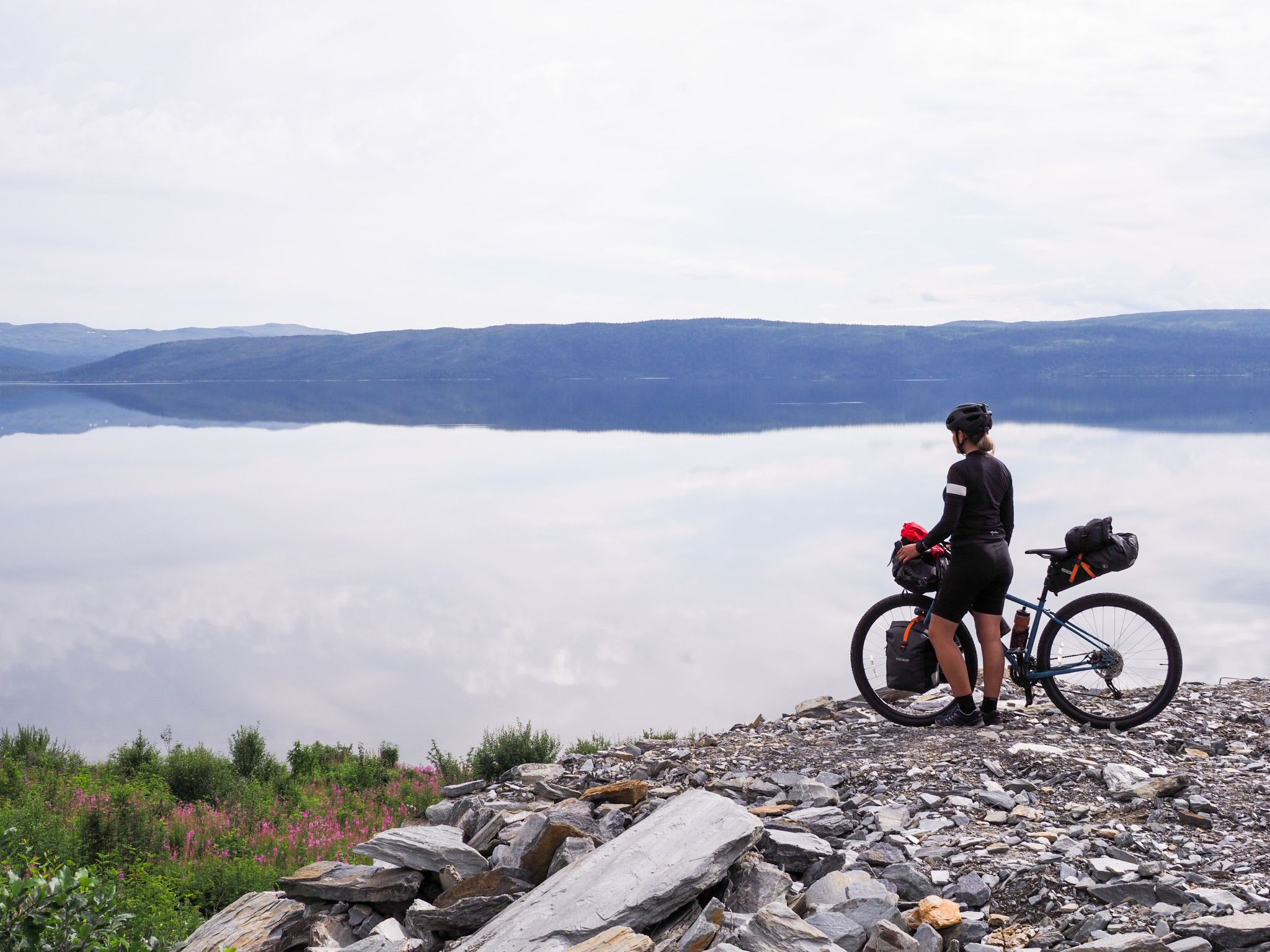
Hiking around the Indalsälven offers diverse terrain within the Jämtland region, characterized by its significant river basin and dramatic geological formations. The landscape features impressive waterfalls, ancient spruce forests, and rocky slopes, alongside open bedrock and riverine scenery. This area showcases the effects of the Ice Age, including giant boulders and eroded peneplains, providing varied experiences for hikers.
Best hiking trails around the Indalsälven
- The most popular hiking route is The Dead Fall – Potholes (strudel holes) loop from Döda…
Last updated: October 5, 2026
4.4
(23)
141
hikers
7.23km
01:50
10m
10m
Easy hike. Great for any fitness level. Easily-accessible paths. Suitable for all skill levels.
5.0
(4)
18
hikers
4.69km
01:27
160m
160m
Easy hike. Great for any fitness level. Easily-accessible paths. Suitable for all skill levels.

5.0
(1)
2
hikers
4.71km
01:12
10m
10m
Easy hike. Great for any fitness level. Easily-accessible paths. Suitable for all skill levels.
4.7
(40)
184
hikers
3.82km
01:03
70m
70m
Easy hike. Great for any fitness level. Easily-accessible paths. Suitable for all skill levels.
4.3
(6)
41
hikers
9.94km
03:35
620m
620m
Moderate hike. Good fitness required. Easily-accessible paths. Suitable for all skill levels.
5.0
(3)
12
hikers
4.59km
01:18
100m
100m
Easy hike. Great for any fitness level. Easily-accessible paths. Suitable for all skill levels.
3.7
(3)
15
hikers
11.5km
02:59
80m
80m
Moderate hike. Good fitness required. Easily-accessible paths. Suitable for all skill levels.
3.9
(7)
31
hikers
4.47km
01:15
80m
80m
Easy hike. Great for any fitness level. Easily-accessible paths. Suitable for all skill levels.
3.0
(1)
19
hikers
11.0km
03:02
180m
180m
Moderate hike. Good fitness required. Easily-accessible paths. Suitable for all skill levels.
4
hikers
14.8km
04:57
710m
710m
Moderate hike. Good fitness required. Easily-accessible paths. Suitable for all skill levels.
Get access to more routes and recommendations from other explorers.
Already have an account?
Our route recommendations are based on thousands of hikes, rides, and runs completed by other people on komoot.
Start today with a free account
Your next adventure awaits.





Other adventures around the Indalsälven

Tips from the Community

Even though it isn't a true peak, this spot marks the 372-meter-high Stugurberget. There is a shelter on site and a beautiful view of the Indalsälven River through the trees.
0
0
A single-lane forest road leads up to this radio tower. From there, the route continues only along a hiking trail.
0
0
A narrow path winds through the dense forest here. In some places, the ground is covered with planks, making it easy to walk even in wet weather.
0
0

Villa Tottebo was built in 1897 as a hunting lodge for wholesaler Lars-Eric Lithander and was then located above the building where the health center is located today. In 1995, the villa was moved to the central village in one piece – a journey that is said to have taken 14 hours.
0
0

The Sörberge Electric Light Track in Timrå is an illuminated 2.4-km looped exercise trail. In winter it is used for cross-country ski training, but it is popular for running and walking in the summer.
0
0

Very nice rest area with a view of the former waterfall
7
1
The path is very well-developed. The upper section is even accessible for people with disabilities.
7
1
Even back then, there were disputes over damages, and it's hard to believe that the longest-running conflict revolves around salmon fishing. The last court case for damages for the fishery was concluded in 1974!
7
1
Frequently Asked Questions
How many hiking trails are available in the Indalsälven region?
The Indalsälven region offers over 25 hiking routes, catering to various skill levels. You'll find a good mix, with 17 easy trails, 6 moderate, and 2 more challenging options.
What kind of terrain can I expect on hikes around Indalsälven?
The terrain around Indalsälven is incredibly diverse, shaped by its dramatic geological history. You can expect to traverse ancient spruce forests, rocky slopes, and open bedrock. Many trails offer peaceful riverside views, while others climb to provide panoramic vistas. The region also features unique formations like giant boulders and deep crevices, remnants of the Ice Age.
Are there any family-friendly hiking trails in Indalsälven?
Yes, Indalsälven has several easy trails suitable for families. A great option is The Dead Fall – Potholes loop from Döda fallet, which is an easy 3.8 km route where you can walk along a former riverbed and explore giant kettles. Another easy choice is the Tännforsen Waterfall loop from Tännforsen, a 4.6 km trail through a moss-covered forest to the powerful waterfall.
Which trails feature waterfalls in the Indalsälven area?
The Indalsälven river basin is renowned for its impressive waterfalls. You can explore the unique dry canyon of Döda Fallet (The Dead Fall), or hike to the mighty Tännforsen Waterfall. The Ristafallet Café loop from Ristafallet will take you past the impressive Ristafallet Waterfall, famous as a filming location for "Ronja the Robber's Daughter".
What is the best time of year to go hiking in Indalsälven?
The best time to visit Indalsälven for hiking and other outdoor activities is during late spring or summer. The weather is generally pleasant, and the natural beauty of the region, including its waterfalls and lush forests, is at its peak.
Are there any circular hiking routes in the Indalsälven region?
Yes, many of the trails in Indalsälven are designed as loops, offering convenient circular walks. Examples include the easy The Dead Fall – Potholes loop from Döda fallet, the moderate Mullfjället Summit loop from Duved, and the Tännforsen Waterfall loop from Tännforsen.
What do other hikers say about the trails in Indalsälven?
The hiking routes in Indalsälven are highly rated by the komoot community, with an average score of 4.4 stars from over 300 reviews. Hikers often praise the diverse landscapes, the impressive waterfalls, and the well-maintained paths that cater to various fitness levels.
Are there any challenging hikes for experienced trekkers?
For experienced trekkers seeking a challenge, the Indalsälven region offers more demanding routes. One such option is the difficult Shelter – Duved Church loop from Duved, which spans over 21 km and involves significant elevation gain, providing a rewarding experience with expansive views.
Are there any historical or geological points of interest along the trails?
Absolutely. The region is rich in geological history, showcasing the effects of the Ice Age. At Döda Fallet, you can walk along the former riverbed and see giant kettles formed by ancient water flows. The Rödön Church – Sandy Forest Path loop from Rödön also offers insights into the area's past, passing by historical sites.
Can I find trails with panoramic viewpoints in Indalsälven?
Yes, several trails lead to stunning viewpoints. The moderate Mullfjället Summit – Mulfjället Summit Shelter loop from Duved climbs through a spruce forest to offer vast views of the Indalsälven river. Another trail, Klevens Topp (not explicitly listed in routes but mentioned in region research), is also known for its breathtaking panoramic views.
Are there any trails that are good for a quick run or short walk?
For a quick run or a cozy short walk in nature, the Indalsälven Delta offers a short loop (mentioned in region research) that's perfect. Alternatively, the easy Just Go loop from Tegefjäll is a 4 km trail that can be completed relatively quickly.
Most popular routes around the Indalsälven
Most popular attractions around the Indalsälven

Get inspired with the komoot mobile app


Explore more
Browse the best Hikes in other regions.
