The best walks and hikes in Zepa Monte El Valle Y Sierras De Altaona Y Escalona
4.4
(1087)
5,847
hikers
64
hikes
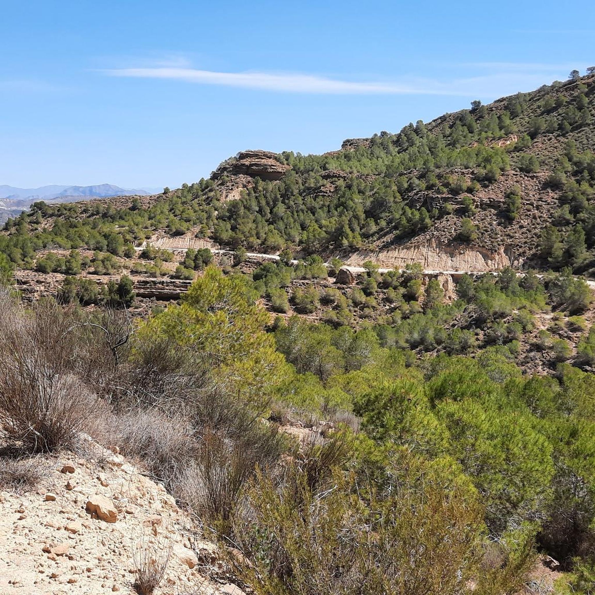
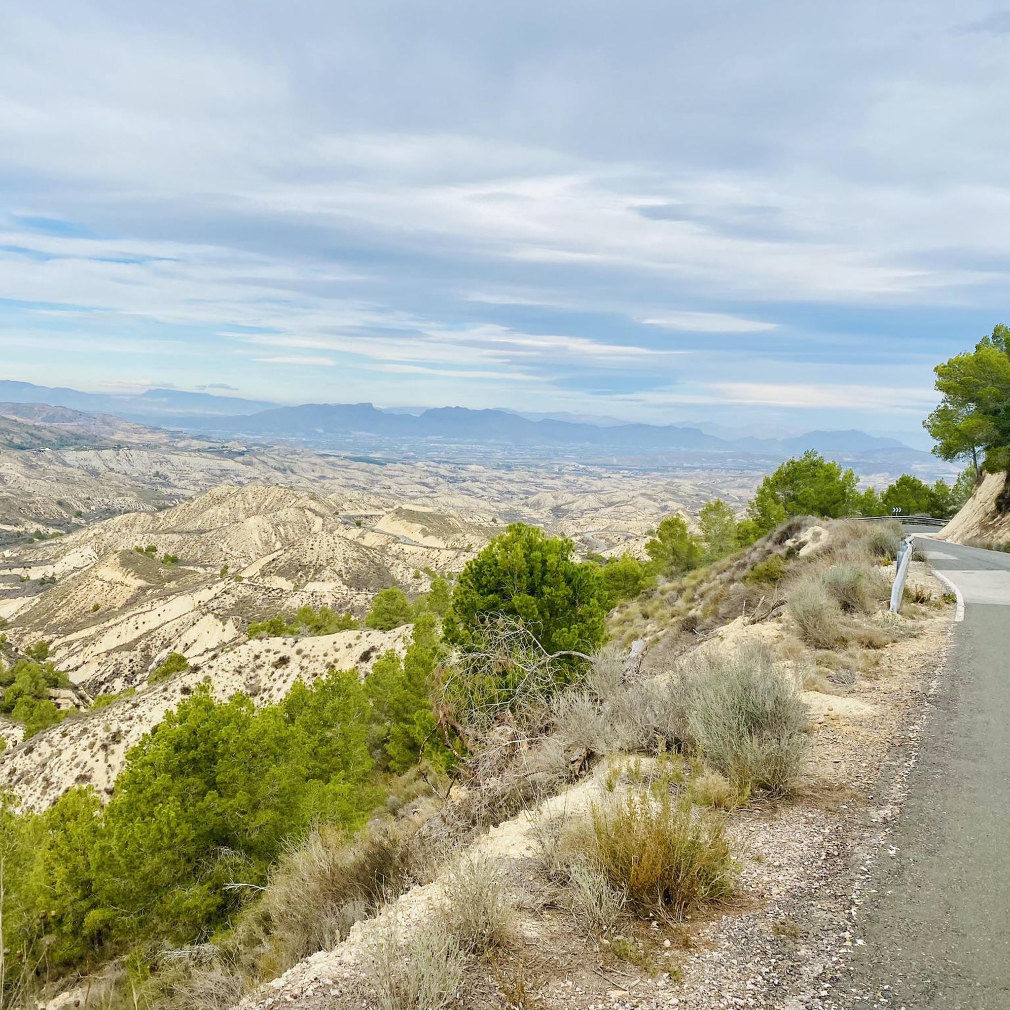
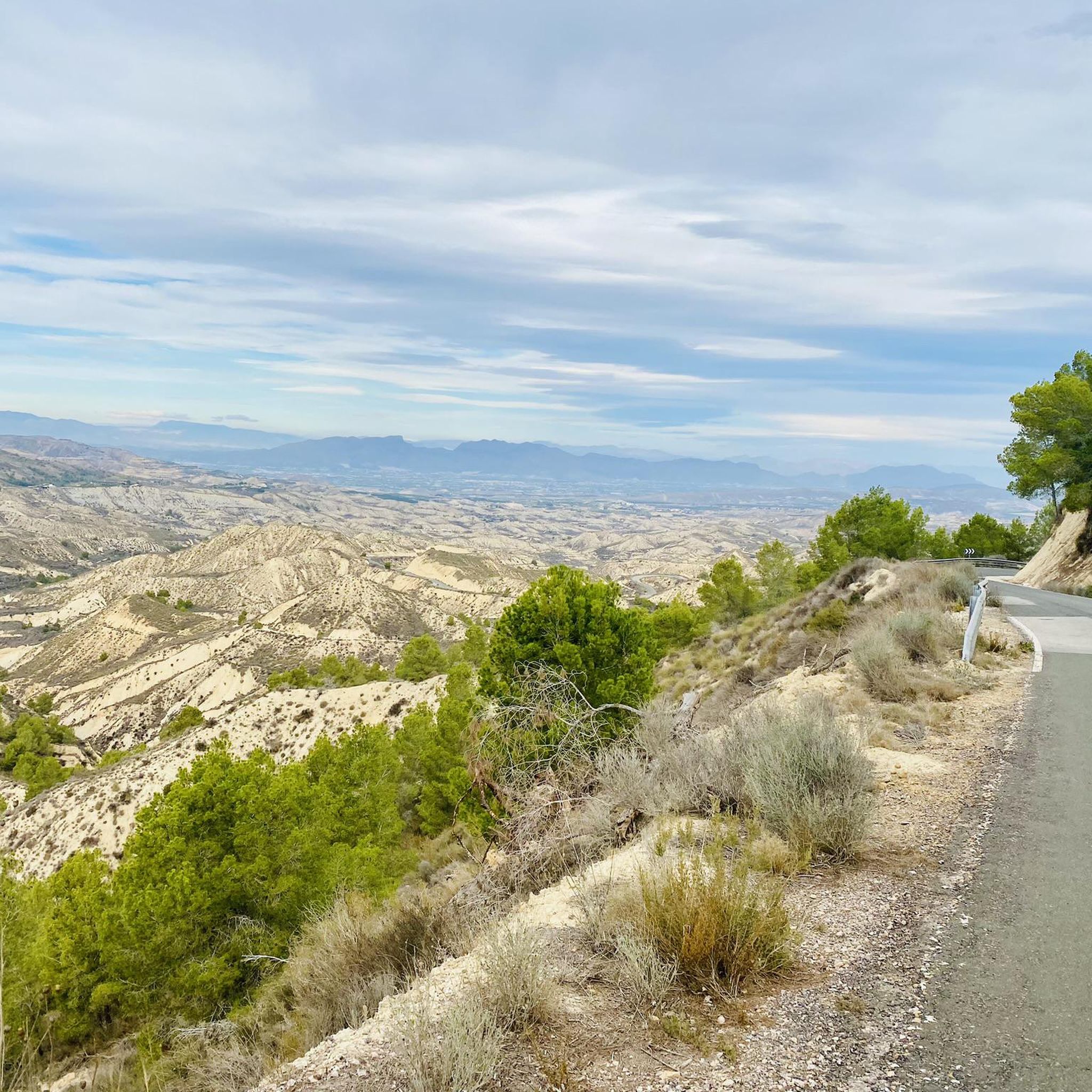
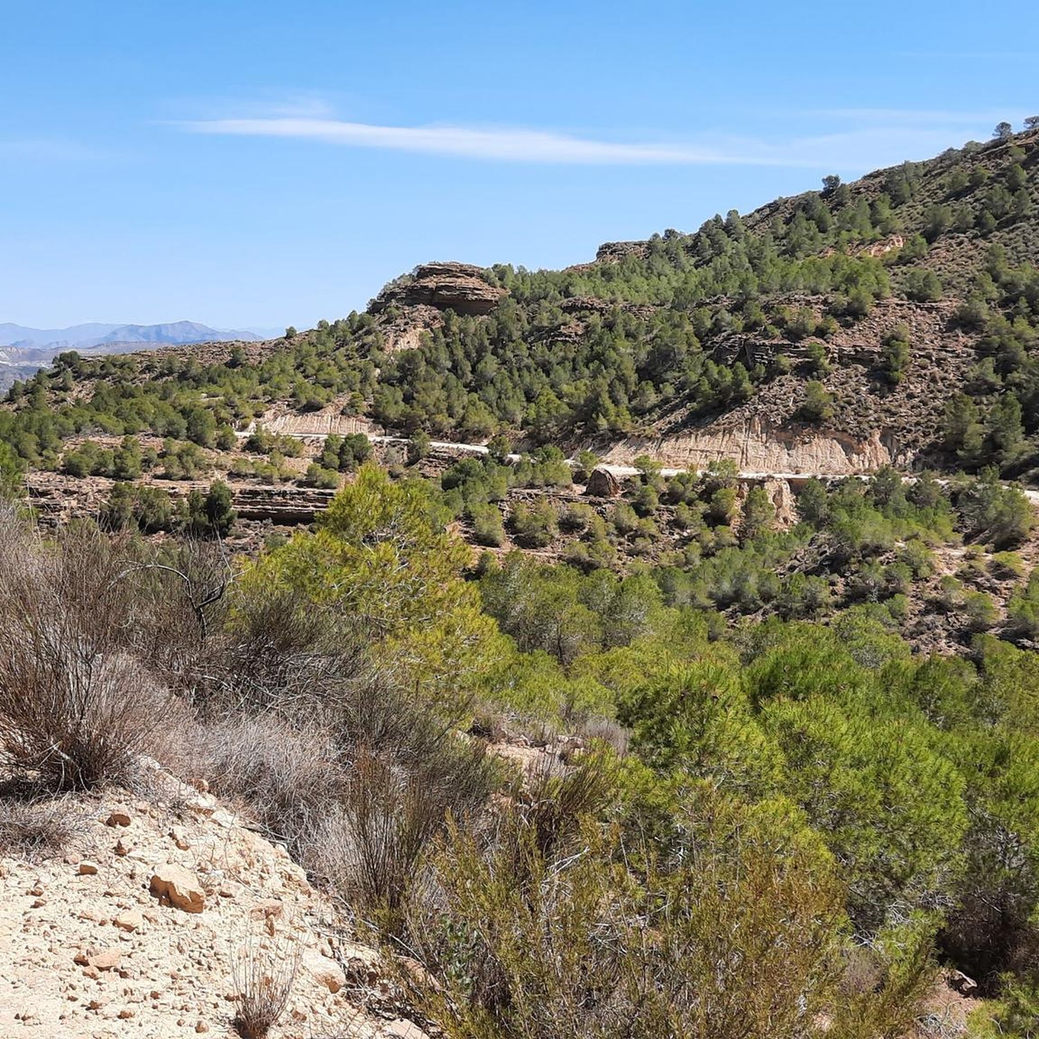
Hiking trails in Zepa Monte El Valle Y Sierras De Altaona Y Escalona traverse a mountainous region characterized by prominent peaks and distinct mountain ranges like Altaona and Escalona. The landscape features an agroforestal mosaic, blending agricultural fields with extensive pine forests and Mediterranean scrub. Geologically, the area is composed of low-resistance materials, resulting in varied terrain including ridges and rocky outcrops. This protected area offers diverse hiking opportunities across its rugged and biodiverse environment.
Best hiking trails in Zepa…
Last updated: July 17, 2026
4.8
(35)
177
hikers
14.1km
04:44
630m
630m
Moderate hike. Good fitness required. Mostly accessible paths. Sure-footedness required.
3.8
(19)
69
hikers
9.83km
03:32
390m
380m
Moderate hike. Good fitness required. Mostly accessible paths. Sure-footedness required.

Sign up for free
4.5
(26)
94
hikers
4.32km
01:33
260m
260m
Easy hike. Great for any fitness level. Easily-accessible paths. Suitable for all skill levels.
4.7
(3)
5
hikers
31.9km
09:49
1,020m
1,020m
Hard hike. Very good fitness required. Mostly accessible paths. Sure-footedness required.
4.6
(45)
206
hikers
12.5km
03:59
390m
390m
Moderate hike. Good fitness required. Mostly accessible paths. Sure-footedness required.
Get access to more routes and recommendations from other explorers.
Sign up for free
Already have an account?
Our route recommendations are based on thousands of hikes, rides, and runs completed by other people on komoot.
Start today with a free account
Your next adventure awaits.
Login or Signup
Popular around Zepa Monte El Valle Y Sierras De Altaona Y Escalona
MTB Trails in Zepa Monte El Valle Y Sierras De Altaona Y Escalona
Road Cycling Routes in Zepa Monte El Valle Y Sierras De Altaona Y Escalona
Running Trails in Zepa Monte El Valle Y Sierras De Altaona Y Escalona
Cycling in Zepa Monte El Valle Y Sierras De Altaona Y Escalona

Gravel biking in Zepa Monte El Valle Y Sierras De Altaona Y Escalona
Tips from the Community

Fun and challenging, with a few scary bits. The lower parts are very muddy in December if it’s been raining.. The full loop is possible.
0
0

Very nice view, but in my opinion too tough for an "average" hike. To the top is fine, but the part from the top (if you follow the direction that Komoot indicates) is tough and quite scary at some points. I therefore did not find this hike average. In previous reviews it says that walking around is not possible, but you can follow the entire route, although it is quite difficult to keep finding your way from the top. Perhaps the confusion is because it is scary at 1 certain point during the descent and there are hikers who do not see this as a possible route. But again; fantastic beautiful views, so you will be rewarded.
2
0

In our experience, the tour available on both Komoot and the Spanish outdoor community Wikiloc is described incorrectly there. More than half of the tour goes exactly over rocky ridges or very close to them and is actually only suitable for very experienced mountain hikers who are prepared to take risks and have the appropriate equipment. We did the tour anti-clockwise and had to turn back a little after the summit of Columbares because a safe descent is not possible on a vertical rocky descent without any means of securing! The route is not signposted anywhere, there are individual cairns. Often the route can only be guessed at. The nature of the ground only allows walking on it when the ground is absolutely dry. As the route is entirely on the south side of the Sierra, you should not climb it in blazing sunshine. There are only a few shady spots. The summit itself is unattractive, there is no summit atmosphere at all. There are several unused antennas lying around that unfortunately have not been dismantled. The views during the hike are beautiful, though.
2
0

A fun and challenging walk. The comments say the walk stops in the middle, but that is not the case. We finished the loop without many problems. It does require a bit of a sense of adventure.
2
0

Don't just go up the steep climb, but enjoy a great view
3
0

Beautiful route, but at the top, where the view was great, you have to walk the same route back. The last climb up is tough
2
1

A beautiful route with great views of Murcia and the Mar Menor. It is very well signposted except for the last section, but it is easy to get to. There are several routes of different difficulties.
1
0

The castle is located in the Cabezo del Puerto at 532 meters high. It is quite a demanding climb, but the panoramic view you get is worth it. You can see the Puerto de la Cadena, Murcia, the valley and even the sea on clear days.
1
0
Frequently Asked Questions
How many hiking trails are available in Zepa Monte El Valle Y Sierras De Altaona Y Escalona?
There are over 60 hiking trails in Zepa Monte El Valle Y Sierras De Altaona Y Escalona, catering to various fitness levels. You'll find a good mix of easy, moderate, and difficult routes to explore the region's diverse landscapes.
Are there family-friendly hiking options in Zepa Monte El Valle Y Sierras De Altaona Y Escalona?
Yes, the region offers several easy trails suitable for families. For instance, the Castillo del Puerto de la Cadena Trail is an easy 2.7-mile path that leads to historical landmarks and offers scenic views, making it a great choice for a family outing.
Can I bring my dog on the trails in Zepa Monte El Valle Y Sierras De Altaona Y Escalona?
While many natural areas in Spain are dog-friendly, Zepa Monte El Valle y Sierras de Altaona y Escalona is a Special Protection Area for Birds (ZEPA) with significant wildlife. It's always best to keep dogs on a leash to protect the local fauna and ensure they do not disturb nesting birds or other animals. Please check local signage for specific regulations on individual trails.
Are there circular hiking routes available in the region?
Yes, many routes in Zepa Monte El Valle Y Sierras De Altaona Y Escalona are designed as loops, allowing you to start and end at the same point. Popular circular options include the Columbares Peak Loop and the El Relojero Peak – King Kong Rock Arch loop from Algezares, which offer varied terrain and panoramic views.
What kind of wildlife can I expect to see while hiking?
As a Special Protection Area for Birds (ZEPA), this region is rich in biodiversity. You might spot various birds of prey, including eagles, and it's known for having the highest global density of royal owls. Wild cats and genet cats also inhabit the area. Keep an eye out for these fascinating creatures, especially in the extensive pine forests and Mediterranean scrub.
What is the best time of year to go hiking in Zepa Monte El Valle Y Sierras De Altaona Y Escalona?
The best time to hike is typically during the cooler months, from autumn through spring (October to May), when temperatures are more moderate. Summers can be very hot, making longer hikes challenging. Spring also brings blooming wildflowers, adding to the scenic beauty.
Are there any challenging hikes for experienced trekkers?
Absolutely. For experienced hikers seeking a challenge, the region offers several difficult routes. The Integral de la Cabra Trail is a demanding 19.8-mile route with significant elevation gain, perfect for those looking for a strenuous adventure across the mountainous terrain.
What are some notable natural landmarks or attractions along the trails?
The region is home to several interesting natural features. You can explore prominent peaks like El Relojero Peak and enjoy views from Columbares Summit. Don't miss the unique Los Mamellones Rock Formations, known for their natural sculpted appearance.
What do other hikers enjoy most about hiking in Zepa Monte El Valle Y Sierras De Altaona Y Escalona?
The area is highly rated by the komoot community, with an average score of 4.5 stars. Reviewers often praise the diverse and rugged landscapes, the panoramic views from the peaks, and the well-maintained trails that offer a mix of challenges and scenic beauty. The rich biodiversity and sense of wilderness are also frequently highlighted.
Are there any visitor centers or environmental education areas in the region?
Yes, the nearby El Valle region offers visitor centers and an environmental education area. These facilities can provide additional information about the local ecosystem, wildlife, and hiking opportunities, enhancing your understanding and appreciation of this protected natural space.
What kind of geological features can be found in the area?
The geology of Zepa Monte El Valle y Sierras de Altaona y Escalona is quite unique, formed from low-resistance materials like sandstones, marls, and limestone crusts due to tectonic activity. This results in varied terrain, including dramatic ridges, rocky outcrops, and even caves, offering a dynamic landscape for exploration.
Most popular routes in Zepa Monte El Valle Y Sierras De Altaona Y Escalona
Most popular attractions in Zepa Monte El Valle Y Sierras De Altaona Y Escalona

Get inspired with the komoot mobile app


Explore more
Browse the best Hikes in other regions.
