The best running trails in Zepa Monte El Valle Y Sierras De Altaona Y Escalona
4.7
(5)
573
runners
32
runs
Jogging in Zepa Monte El Valle Y Sierras De Altaona Y Escalona offers diverse terrain across a mountainous landscape. The region features pine forests, Mediterranean scrub, and semi-arid habitats, providing varied environments for running. Notable elevations, including Mt. Columbares at 645 meters, offer challenging climbs and expansive views. Ephemeral watercourses known as "ramblas" add unique geological features to the area's natural composition.
Best jogging routes in Zepa Monte El Valle Y Sierras De Altaona Y Escalona
- The most popular jogging…
Last updated: July 7, 2026
5.0
(2)
15
runners
12.0km
01:42
500m
500m
Hard run. Very good fitness required. Sure-footedness, sturdy shoes and alpine experience required.
64
runners
8.68km
00:56
150m
150m
Moderate run. Good fitness required. Mostly paved surfaces. Suitable for all skill levels.

Sign up for free
66
runners
5.13km
00:33
40m
40m
Moderate run. Good fitness required. Mostly paved surfaces. Suitable for all skill levels.
45
runners
11.3km
01:30
460m
460m
Hard run. Very good fitness required. Mostly paved surfaces. Suitable for all skill levels.
40
runners
5.84km
00:55
320m
320m
Hard run. Very good fitness required. Mostly paved surfaces. Suitable for all skill levels.
Get access to more routes and recommendations from other explorers.
Sign up for free
Already have an account?
Our route recommendations are based on thousands of hikes, rides, and runs completed by other people on komoot.
Start today with a free account
Your next adventure awaits.
Login or Signup
Popular around Zepa Monte El Valle Y Sierras De Altaona Y Escalona
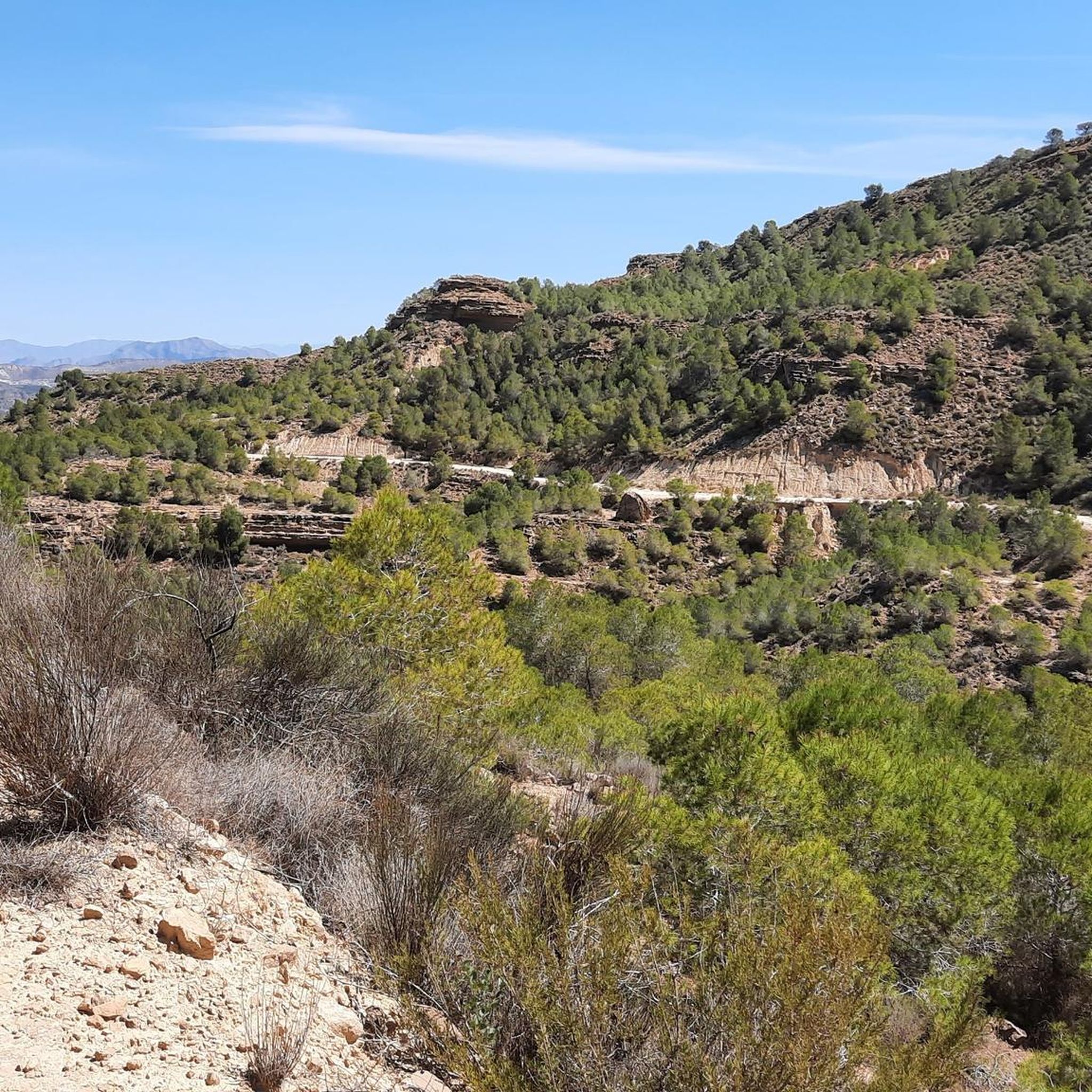
Hiking in Zepa Monte El Valle Y Sierras De Altaona Y Escalona
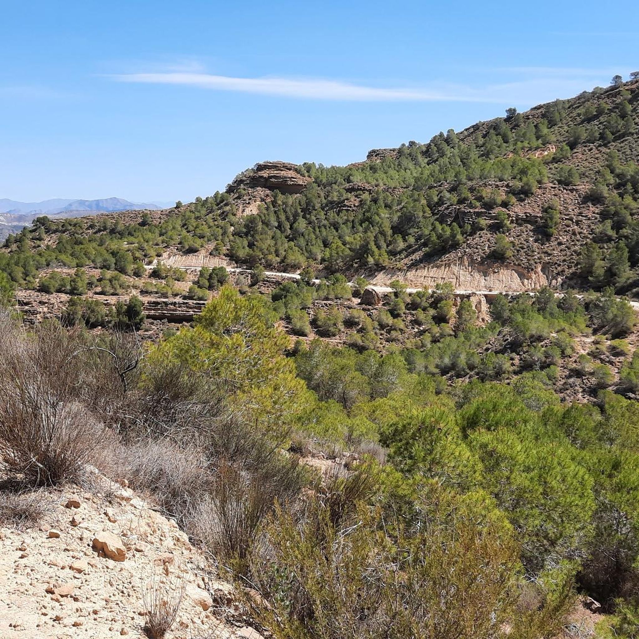
MTB Trails in Zepa Monte El Valle Y Sierras De Altaona Y Escalona
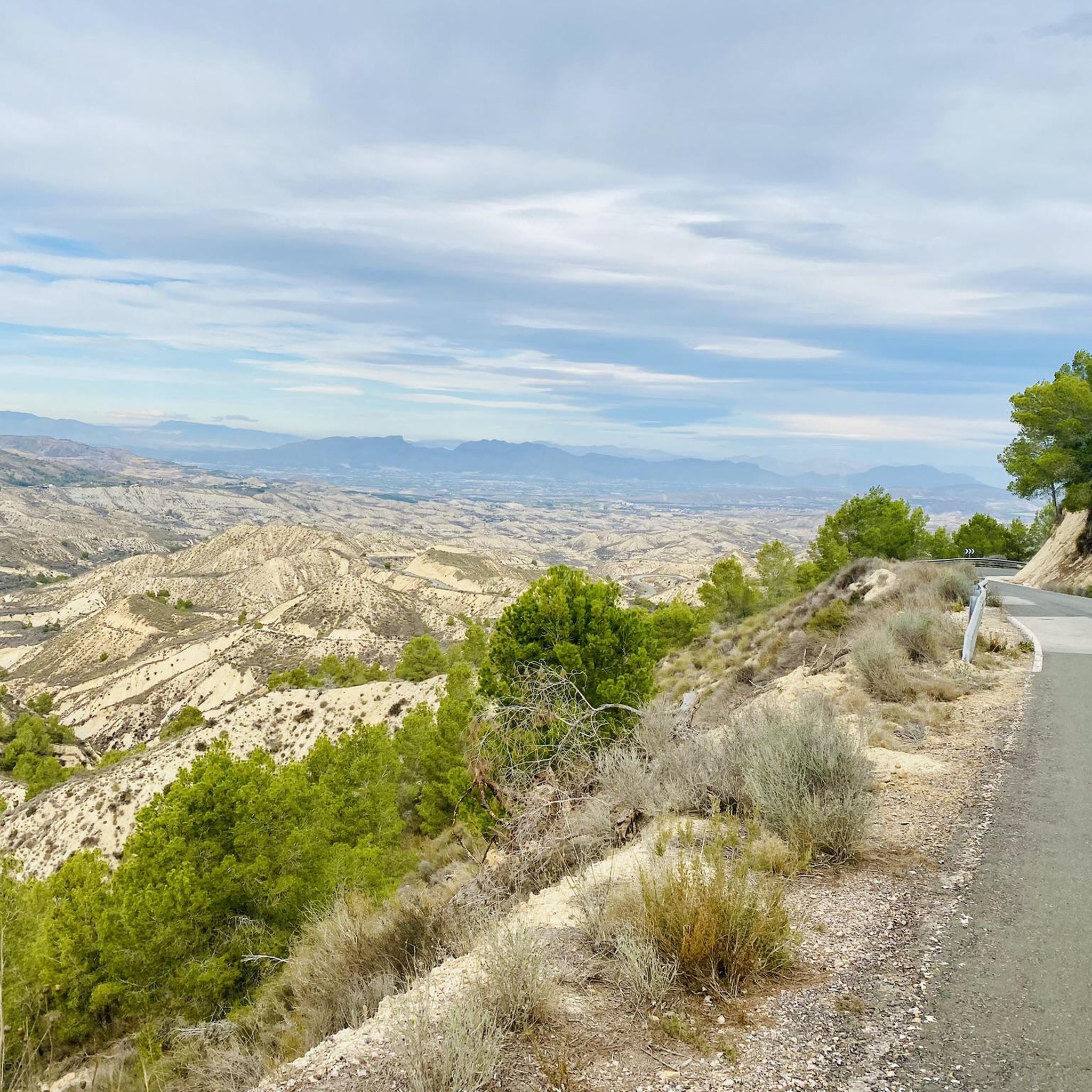
Road Cycling Routes in Zepa Monte El Valle Y Sierras De Altaona Y Escalona
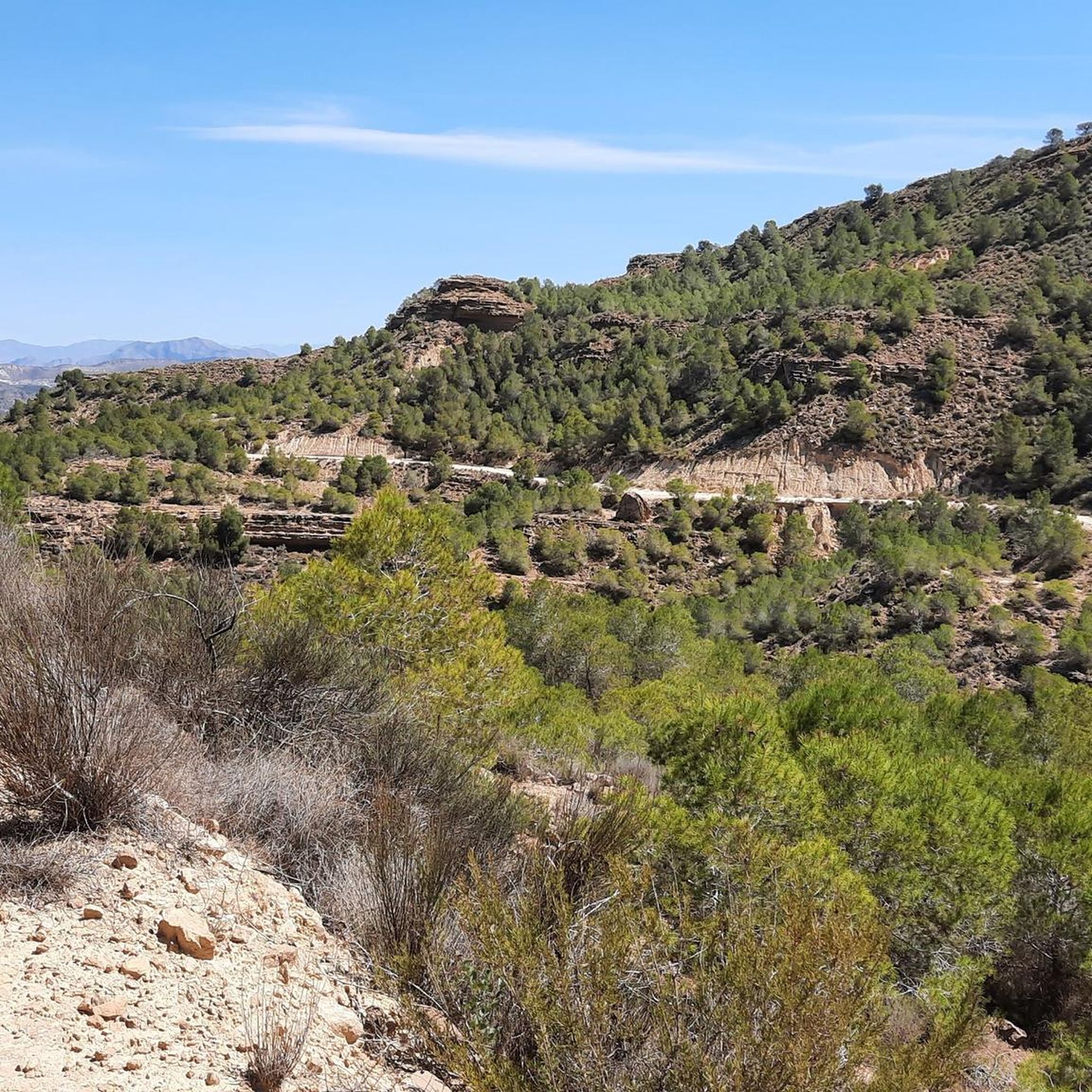
Cycling in Zepa Monte El Valle Y Sierras De Altaona Y Escalona

Gravel biking in Zepa Monte El Valle Y Sierras De Altaona Y Escalona
Tips from the Community

One step away from Murcia, there is no excuse to go
0
0

From Los Garres you can make a good climb of 5.5km of asphalt without traffic.
0
0

In this area, fees were collected from galleys, horse couriers, stagecoaches, and carriages that used the road. When paying the "slam of the door", the chain was removed to allow passage, hence the name "Puerto de la Cadena". Near the Casas del Portazgo, you will find the fountain of the pipe, numerous pools of water and canals used in the Middle Ages for irrigation. In addition, there are the remains of the Lower Portazgo Arab castle.
1
0
A beautiful route with great views of Murcia and the Mar Menor. It is very well signposted except for the last section, but it is easy to get to. There are several routes of different difficulties.
1
0

This paved port is famous because it has been included in the circuit of the Cycling Tour of Spain on several occasions. It is demanding, but worth the effort. Once at the summit, all that remains is to enjoy the splendid landscape.
1
0
The castle is located in the Cabezo del Puerto at 532 meters high. It is quite a demanding climb, but the panoramic view you get is worth it. You can see the Puerto de la Cadena, Murcia, the valley and even the sea on clear days.
1
0

At this point we can decide to climb the Pico del Relojero, located at an altitude of 604 meters above sea level, thus offering us magnificent views of the entire environment. You can climb gravel without many problems.
3
0
It can be climbed by two variants, from Algezares (5.5 km and 369 of unevenness) or from San José (6.20 km and 382 of unevenness). Both will travel through a unique place with beautiful views of Murcia. The final part from San José, before, was broken but now offers asphalt in perfect condition. The name of the Cresta del Gallo comes from the peculiar shape of the mountain to which we are heading. Going up from San José we will go down to the Virgen de la Fuensanta Sanctuary, patron saint of Murcia.
2
0
Frequently Asked Questions
How many running routes are available in Zepa Monte El Valle Y Sierras De Altaona Y Escalona?
There are over 30 dedicated running routes in Zepa Monte El Valle Y Sierras De Altaona Y Escalona, offering a wide range of options for all skill levels. These include easy paths, moderate loops, and challenging climbs through the mountainous terrain.
What kind of terrain can I expect on the running trails in this region?
The terrain in Zepa Monte El Valle Y Sierras De Altaona Y Escalona is diverse, featuring mountainous landscapes with pine forests, Mediterranean scrub, and semi-arid habitats. You'll encounter varying elevations, including prominent peaks like Mt. Columbares, and unique geological features such as 'ramblas' (ephemeral watercourses).
What do other runners say about the trails in Zepa Monte El Valle Y Sierras De Altaona Y Escalona?
The running routes in Zepa Monte El Valle Y Sierras De Altaona Y Escalona are highly rated by the komoot community, with an average score of 4.7 stars from over 5 reviews. More than 500 runners have explored the varied terrain, often praising the diverse landscapes and challenging climbs.
Are there easy running routes suitable for beginners?
Yes, there are easy running routes available. For instance, the Running loop from Hacienda Riquelme is a moderate 3.2-mile (5.1 km) trail that offers a more gentle landscape, ideal for those looking for a less strenuous run.
Are there challenging trails for experienced runners seeking a workout?
Absolutely. The region offers 24 difficult routes for experienced runners. A notable challenging option is the Camino de Santiago del Azahar Trail, a 7.5-mile (12.0 km) route with significant elevation gain, perfect for a demanding run.
Can I find loop trails for jogging in the area?
Yes, loop trails are a popular option. The Base of the Cresta del Gallo – Base of the Relojero loop from Algezares is a moderate 5.4-mile (8.7 km) path offering varied terrain around prominent hills. Another option is the El Relojero Peak – Base of the Relojero loop from La Alberca, a more difficult 7-mile (11.3 km) route.
What natural features or landmarks can I see while running in the region?
While running, you can encounter various natural features and landmarks. Highlights include the impressive El Relojero Peak, the scenic Garruchal Pass, and the unique Los Mamellones Rock Formations. Many trails also offer panoramic views from summits like View from Columbares Summit.
Are there options for parking near the running routes?
While specific parking areas for each route are not detailed, many trailheads in the region, especially near visitor centers like El Valle, La Luz, and San Antonio El Pobre, typically offer parking facilities. It's advisable to check individual route descriptions on komoot for the most precise parking information.
Is public transport available to access the jogging trails?
Access to the more remote jogging trails in Zepa Monte El Valle Y Sierras De Altaona Y Escalona is primarily by car. However, some routes starting closer to towns like Algezares or La Alberca might be accessible via local bus services. For detailed public transport options, it's best to consult local transport schedules for the specific starting points of your chosen route.
Are there any permits required for jogging in Zepa Monte El Valle Y Sierras De Altaona Y Escalona?
Generally, no specific permits are required for jogging on the established trails within Zepa Monte El Valle Y Sierras De Altaona Y Escalona. As a Special Protection Area for Birds (ZEPA), visitors are encouraged to stay on marked paths to protect the natural environment and wildlife. Always respect local regulations and signage.
What is the best time of year for running in this region?
The best time for running in Zepa Monte El Valle Y Sierras De Altaona Y Escalona is typically during the cooler months, from autumn through spring. Summers can be very hot, making early morning or late evening runs more comfortable. The varied vegetation, including pine forests and Mediterranean scrub, offers pleasant scenery year-round.
Are there any family-friendly running routes?
While many routes involve varied terrain and elevation, some shorter, less strenuous paths can be suitable for families. The region's visitor centers, such as El Valle, La Luz, and San Antonio El Pobre, often have easier trails nearby that are well-maintained and offer educational opportunities about the local flora and fauna.
Most popular routes in Zepa Monte El Valle Y Sierras De Altaona Y Escalona
Most popular attractions in Zepa Monte El Valle Y Sierras De Altaona Y Escalona

Get inspired with the komoot mobile app


Explore more
Browse the best Running Trails & Routes in other regions.
