The best cycling routes in Les Arnaud E Punta Quattro Sorelle
4.6
(169)
4,413
riders
68
rides
Touring cycling routes in Les Arnaud E Punta Quattro Sorelle traverse a mountainous landscape characterized by significant elevation changes and alpine terrain. The region features high peaks, valleys, and routes that often connect towns with elevated passes or border areas. This environment provides challenging ascents and descents suitable for experienced touring cyclists.
Best touring cycling routes in Les Arnaud E Punta Quattro Sorelle
- The most popular touring cycling route is Colomion Peak – Bardonecchia loop from Valle Stretta, a…
Last updated: October 18, 2026
4.9
(25)
844
riders
57.5km
03:57
980m
980m
Hard bike ride. Very good fitness required. Mostly paved surfaces. Suitable for all skill levels.
3.5
(2)
54
riders
27.9km
02:44
1,030m
1,030m
Hard bike ride. Very good fitness required. Mostly paved surfaces. Suitable for all skill levels.

4.7
(3)
45
riders
24.2km
03:05
1,190m
1,190m
Hard bike ride. Very good fitness required. Mostly paved surfaces. Suitable for all skill levels.
16
riders
72.6km
06:25
2,150m
2,150m
Hard bike ride. Very good fitness required. Mostly paved surfaces. Suitable for all skill levels.
4.0
(2)
21
riders
16.9km
01:20
470m
470m
Hard bike ride. Very good fitness required. Mostly paved surfaces. Suitable for all skill levels.
Get access to more routes and recommendations from other explorers.
Already have an account?
Our route recommendations are based on thousands of hikes, rides, and runs completed by other people on komoot.
Start today with a free account
Your next adventure awaits.
Popular around Les Arnaud E Punta Quattro Sorelle
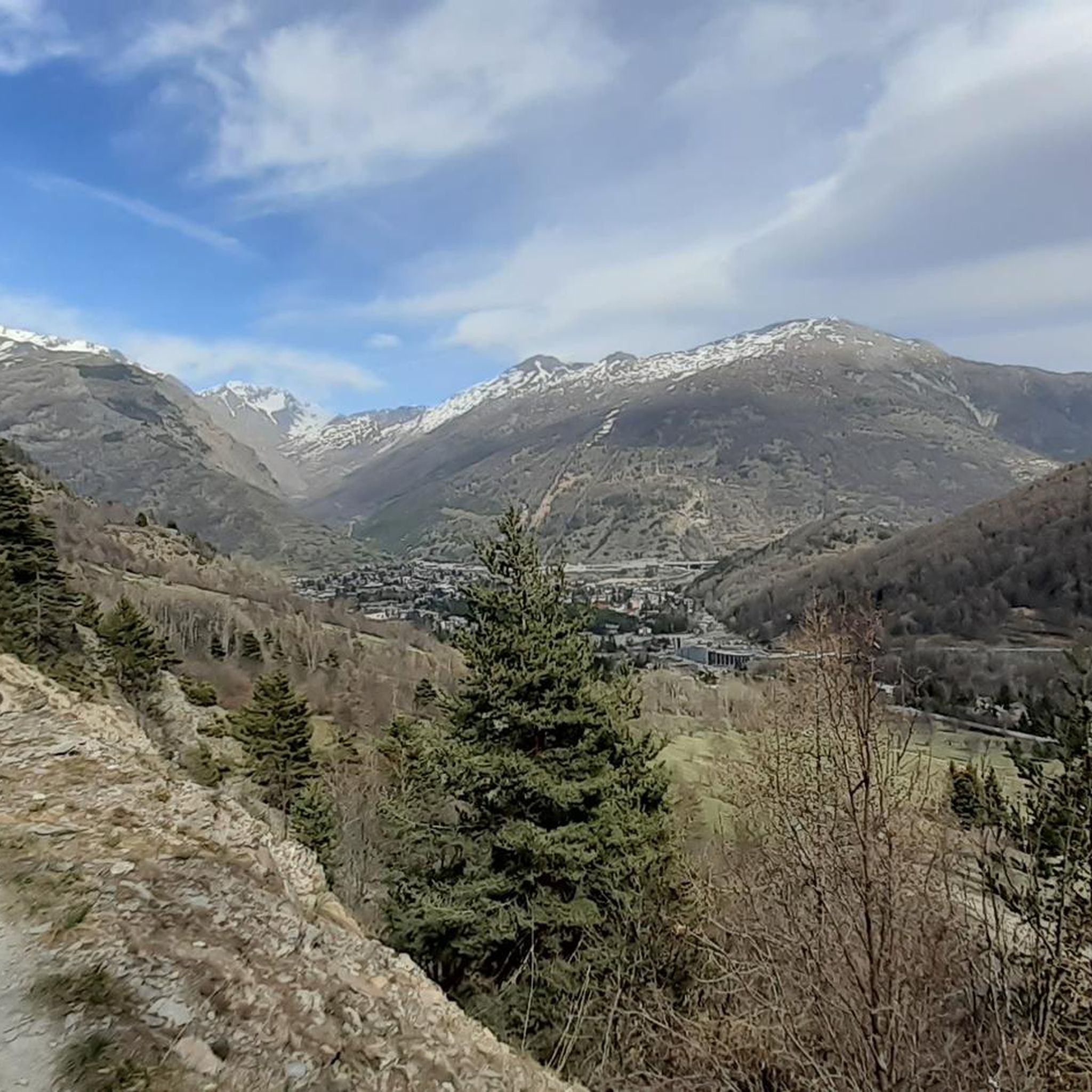
Hiking in Les Arnaud E Punta Quattro Sorelle
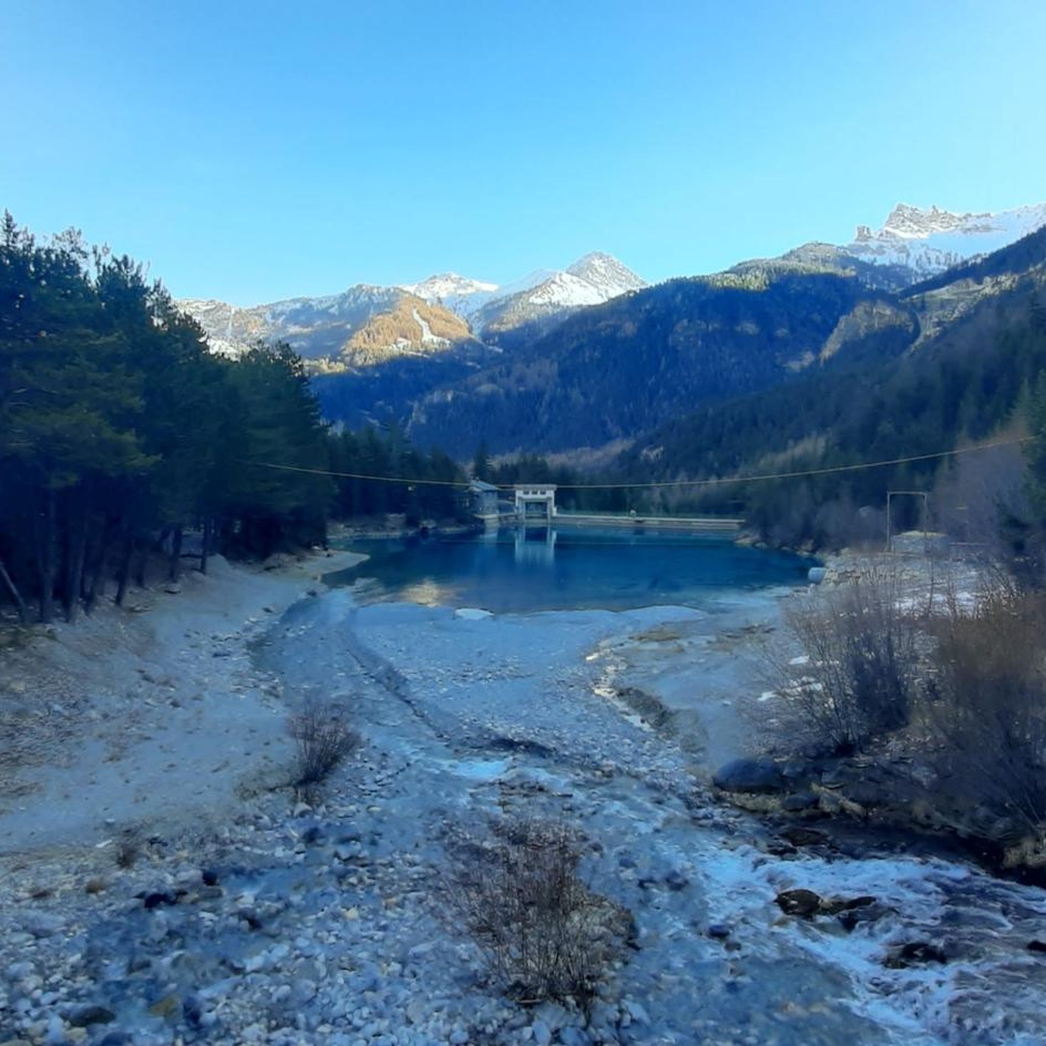
Road Cycling Routes in Les Arnaud E Punta Quattro Sorelle
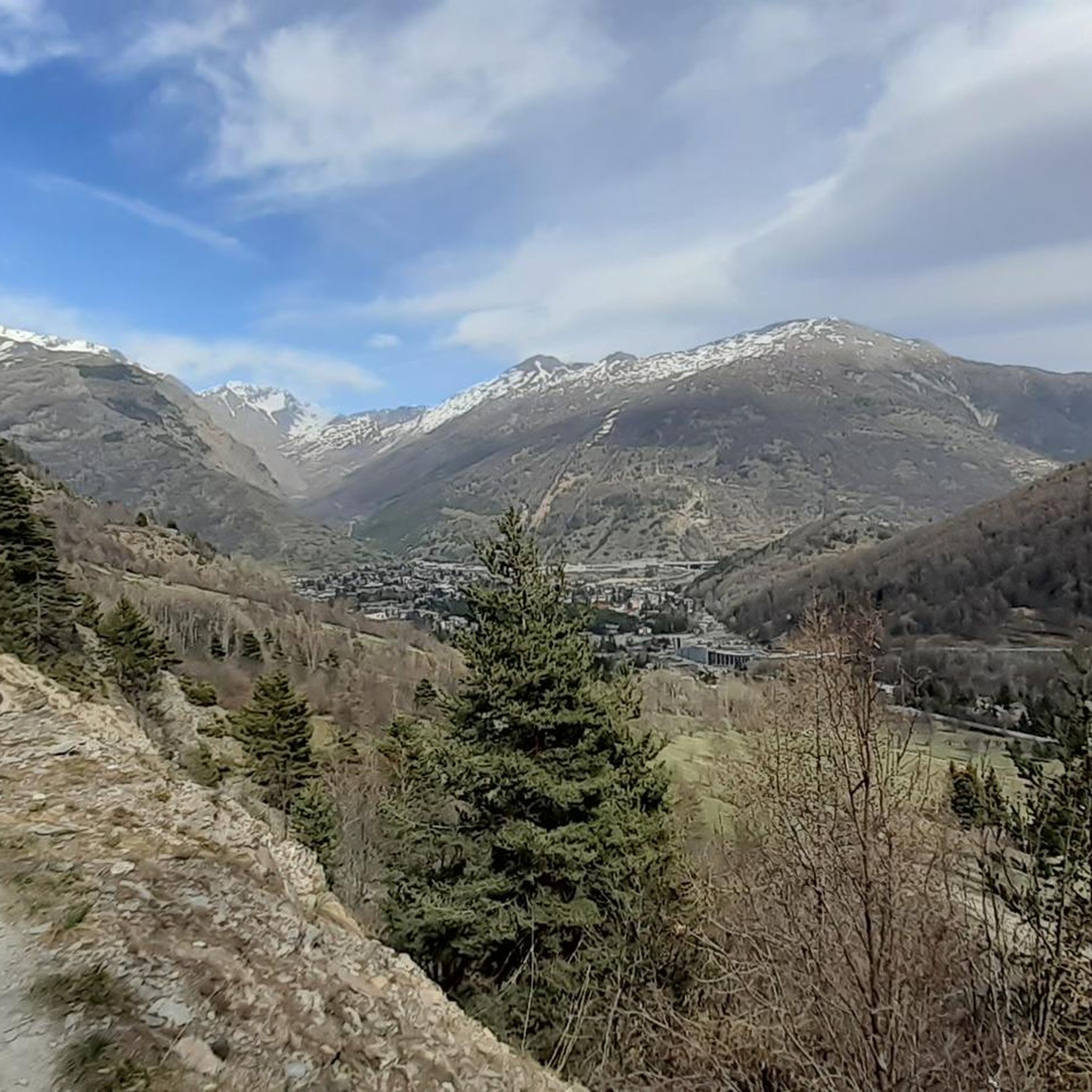
MTB Trails in Les Arnaud E Punta Quattro Sorelle

Gravel biking in Les Arnaud E Punta Quattro Sorelle
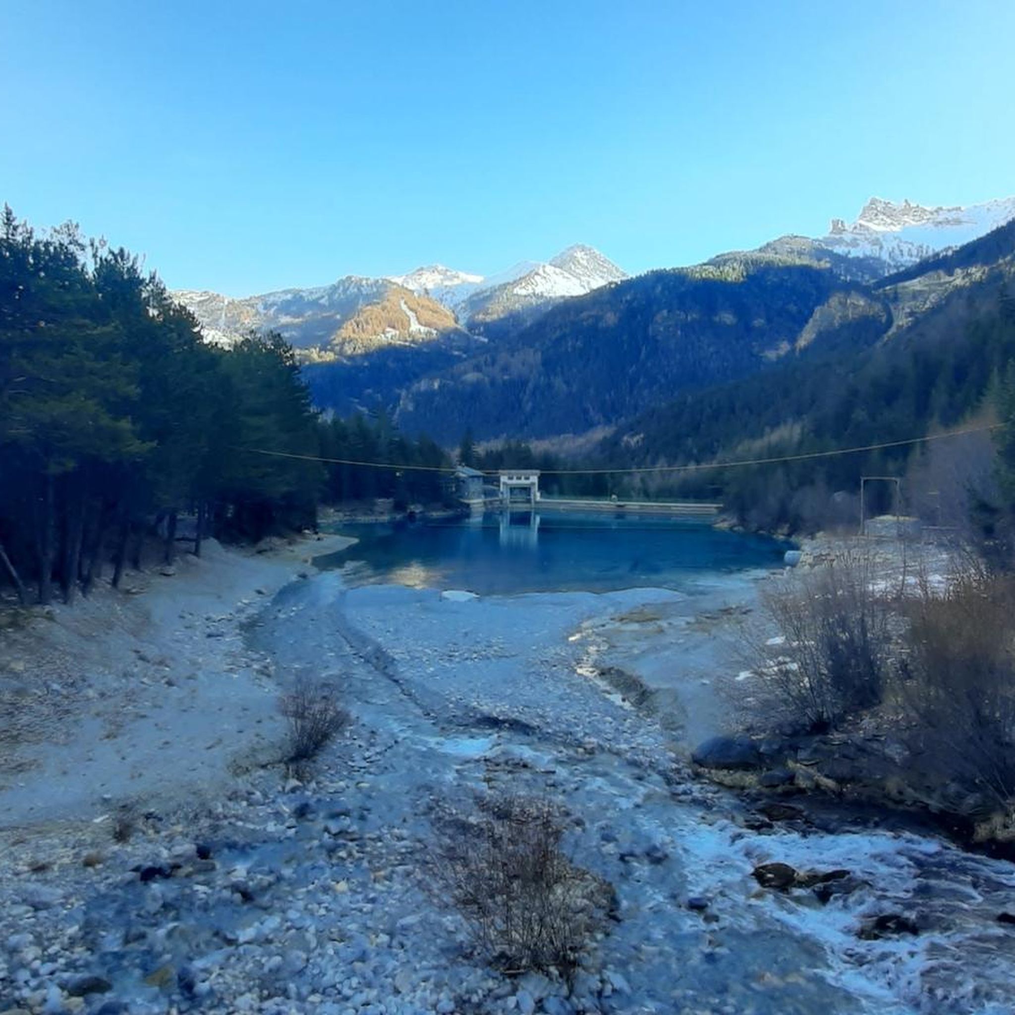
Running Trails in Les Arnaud E Punta Quattro Sorelle
Mountain Hikes in Les Arnaud E Punta Quattro Sorelle
Tips from the Community

The beginning of the white road that reaches 3000 meters altitude
0
0
You cannot climb to the Sommelier without visiting this historic village
0
0

There is nothing better than enjoying the "hike beer" in a place like this, in the presence of the mountains surrounding Bardonecchia, and so what if you can also get here by car, just take a few steps on foot and you will find yourself in the real mountain environment. The beer is then deserved, given the gradients involved, almost always double-digit! From the bar square, in less than five minutes you can climb to the beautiful little chapel dedicated to those who fell in the mountains, a suggestive place and a splendid panorama!
0
0

Here the fun begins and the fight against the dust.
0
0
A village from a bygone era.
0
0

After the village of Rochemolles, once the paved road ends, the Strada del Sommeiller begins. Military road that reaches the Sommeiller lake and then the Colle del Sommeiller (3,009 m a.s.l.). The pass is an alpine pass in the Cottian Alps (Mont Cenis Alps), located along the border line between Italy and France, between Punta Sommeiller and Rognosa d'Etiache, connecting the city of Bardonecchia (province of Turin) with the municipality of Bramans, in the French department of Savoie.
0
0

And the Vauban fortress. It is not a castle
0
0
Once you reach the Colomion pass, this long traverse begins. Besides the ever-widening panorama as you ascend, it also offers less prohibitive gradients and long stretches, especially in the initial part, that are almost flat. If you've made it this far, you'll surely appreciate them!
0
0
Frequently Asked Questions
How many touring cycling routes are available in Les Arnaud E Punta Quattro Sorelle?
There are over 60 touring cycling routes in Les Arnaud E Punta Quattro Sorelle. The majority, about 45 routes, are classified as difficult, offering significant challenges for experienced cyclists.
Are there any beginner-friendly touring cycling routes in Les Arnaud E Punta Quattro Sorelle?
While the region is known for its challenging terrain, there are a few routes suitable for beginners. Approximately 5 routes are rated as easy, providing a gentler introduction to touring cycling in Les Arnaud E Punta Quattro Sorelle's mountainous landscape.
What kind of terrain can I expect on touring cycling routes in Les Arnaud E Punta Quattro Sorelle?
The terrain is predominantly mountainous, characterized by significant elevation changes, alpine landscapes, and high peaks. Routes often feature challenging ascents and descents, connecting towns with elevated passes or border areas, making them ideal for experienced touring cyclists.
Are there any circular touring cycling routes in Les Arnaud E Punta Quattro Sorelle?
Yes, many routes in the region are designed as loops. For example, the Colomion Peak – Bardonecchia loop from Valle Stretta is a popular difficult route, as is the Pian del Colle – France–Italy Border Marker 56 loop from Valle Stretta, which explores high-altitude plains.
What are some notable viewpoints or landmarks I can see along the touring cycling routes?
Along the routes, you can discover several interesting points. The Three Crosses Hill offers panoramic views. You might also encounter historical sites like the Pian dei Morti Barracks, or explore trails such as The old road to Col de la Roue.
What do other touring cyclists enjoy most about touring cycling in Les Arnaud E Punta Quattro Sorelle?
The area is highly rated by the komoot community, with an average score of 4.5 stars from nearly 100 reviews. Cyclists often praise the challenging mountain ascents, the stunning high-altitude plains, and the unique experience of routes connecting valley towns and national borders.
Are there any touring cycling routes that pass through or near the town of Bardonecchia?
Yes, Bardonecchia serves as a hub for several routes. The Pian del Colle – Bardonecchia loop from Bardonecchia is a popular choice, leading through mountain passes and connecting directly to the town. Another option is the Forte Föens – Bardonecchia loop from Bardonecchia.
What is the typical duration for a touring cycling route in this region?
Given the challenging nature and elevation gains, routes can vary. For instance, the Colomion Peak – Bardonecchia loop from Valle Stretta typically takes around 3 hours and 16 minutes, while the Pian del Colle – France–Italy Border Marker 56 loop from Valle Stretta can be completed in about 1 hour and 53 minutes.
Are there any less crowded touring cycling options available?
While specific routes' popularity can vary, exploring some of the less-trafficked trails or planning your rides during off-peak hours (early mornings or weekdays) can help you find a more serene experience. The region's vastness often allows for finding quieter sections.
What should I consider regarding parking when planning a touring cycling trip here?
Many routes start from towns or villages like Bardonecchia or Valle Stretta, where public parking facilities are generally available. It's advisable to check local parking regulations and availability, especially during peak seasons, as some areas might have limited space or require payment.
Are there any touring cycling routes that offer views of the France-Italy border?
Yes, some routes specifically explore the border region. The Pian del Colle – France–Italy Border Marker 56 loop from Valle Stretta is a prime example, following the national border and offering unique cross-border scenery.
Most popular routes in Les Arnaud E Punta Quattro Sorelle
Most popular attractions in Les Arnaud E Punta Quattro Sorelle

Get inspired with the komoot mobile app


Explore more
Browse the best Cycling routes in other regions.
