The best walks and hikes in Les Arnaud E Punta Quattro Sorelle
4.6
(2672)
19,080
hikers
26
hikes
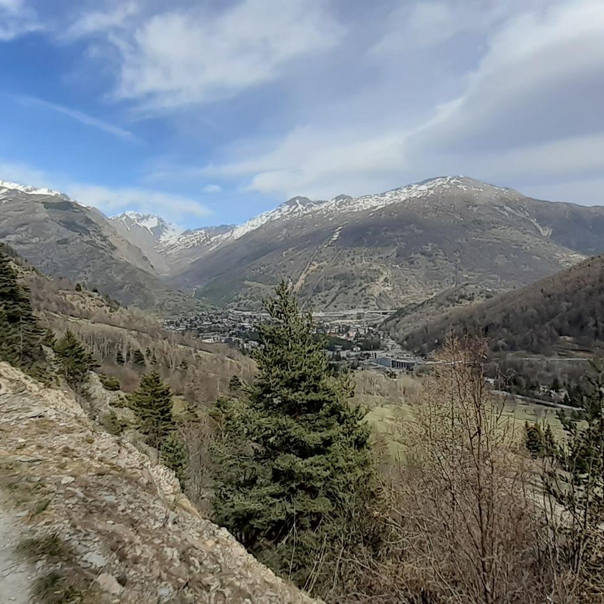
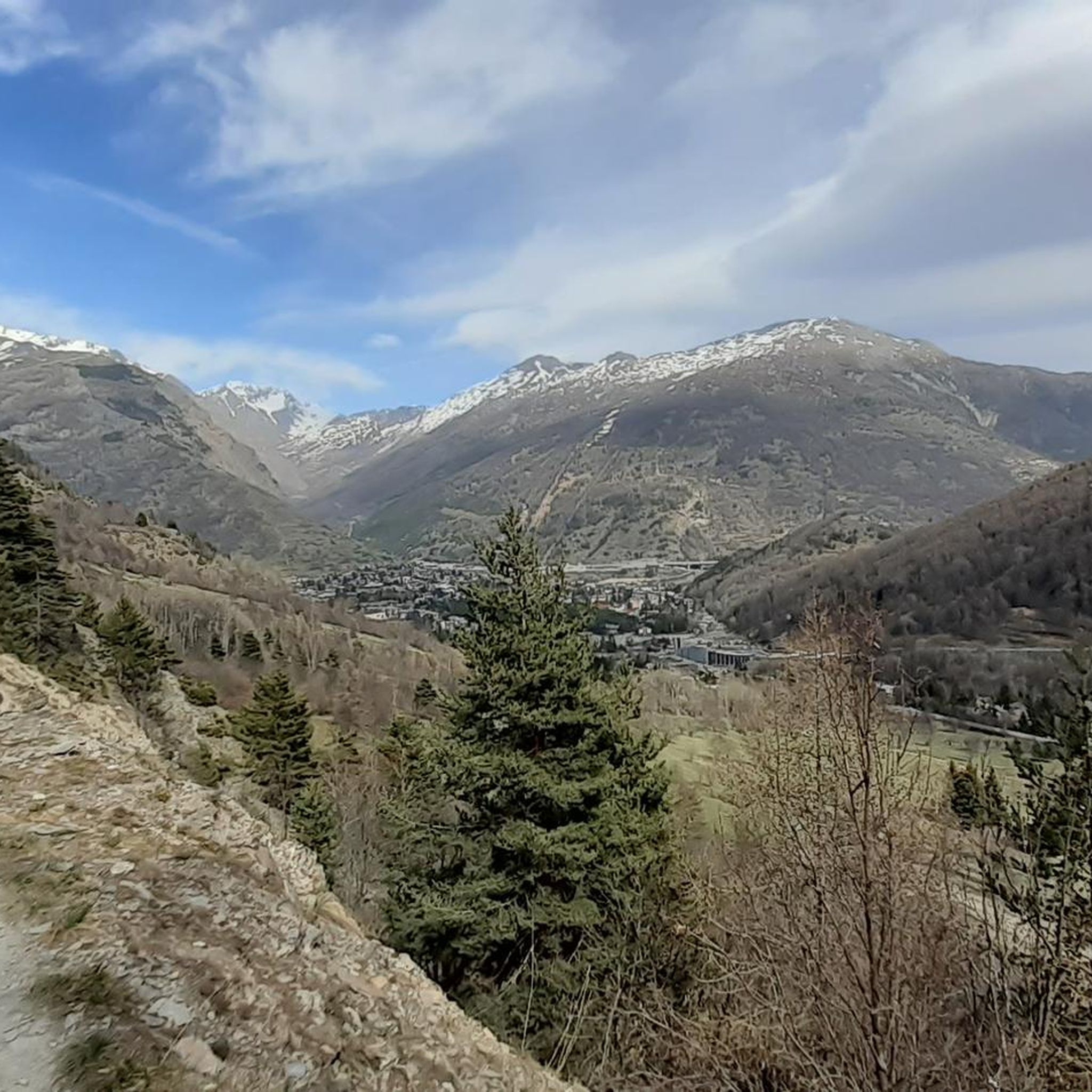
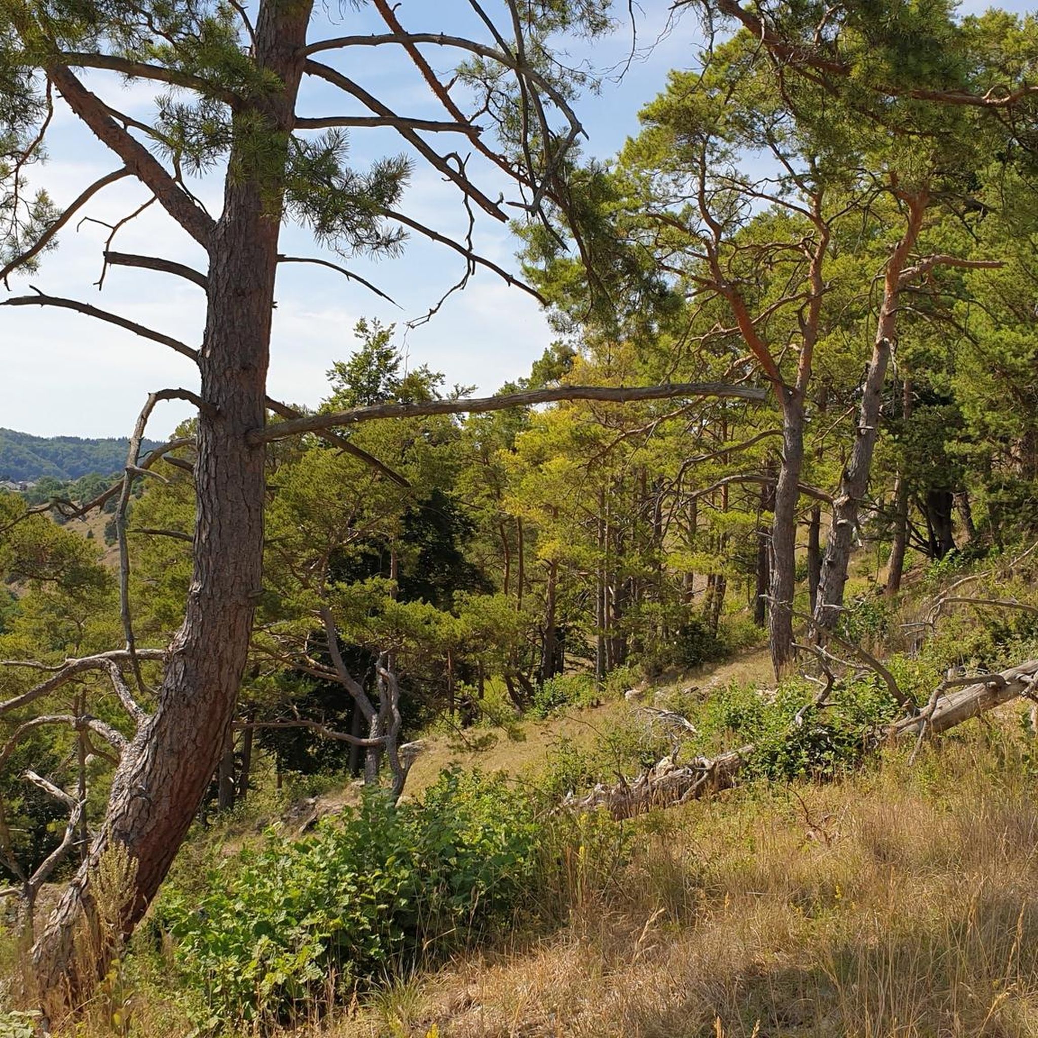
Hiking in Les Arnaud E Punta Quattro Sorelle offers diverse landscapes, from "dolomitic-looking" calcareous peaks at higher altitudes to softer, vegetated terrain in the lower Rhô valley. The region features extensive forests of larch and stone pine, alongside rocky landscapes and rupicolous grasslands above the tree line. Elevations range significantly, providing varied trekking experiences across this western Italian area. This ecological diversity supports a rich array of flora and fauna, making it a notable natural destination.
Best hiking trails in Les Arnaud E Punta Quattro Sorelle
- The most popular hiking route is Grange della Rho and Pian dei Morti Loop, a 5.7 miles (9.3 km) moderate trail that takes 3 hours 37 minutes to complete. This route offers views of the surrounding valleys and forested areas.
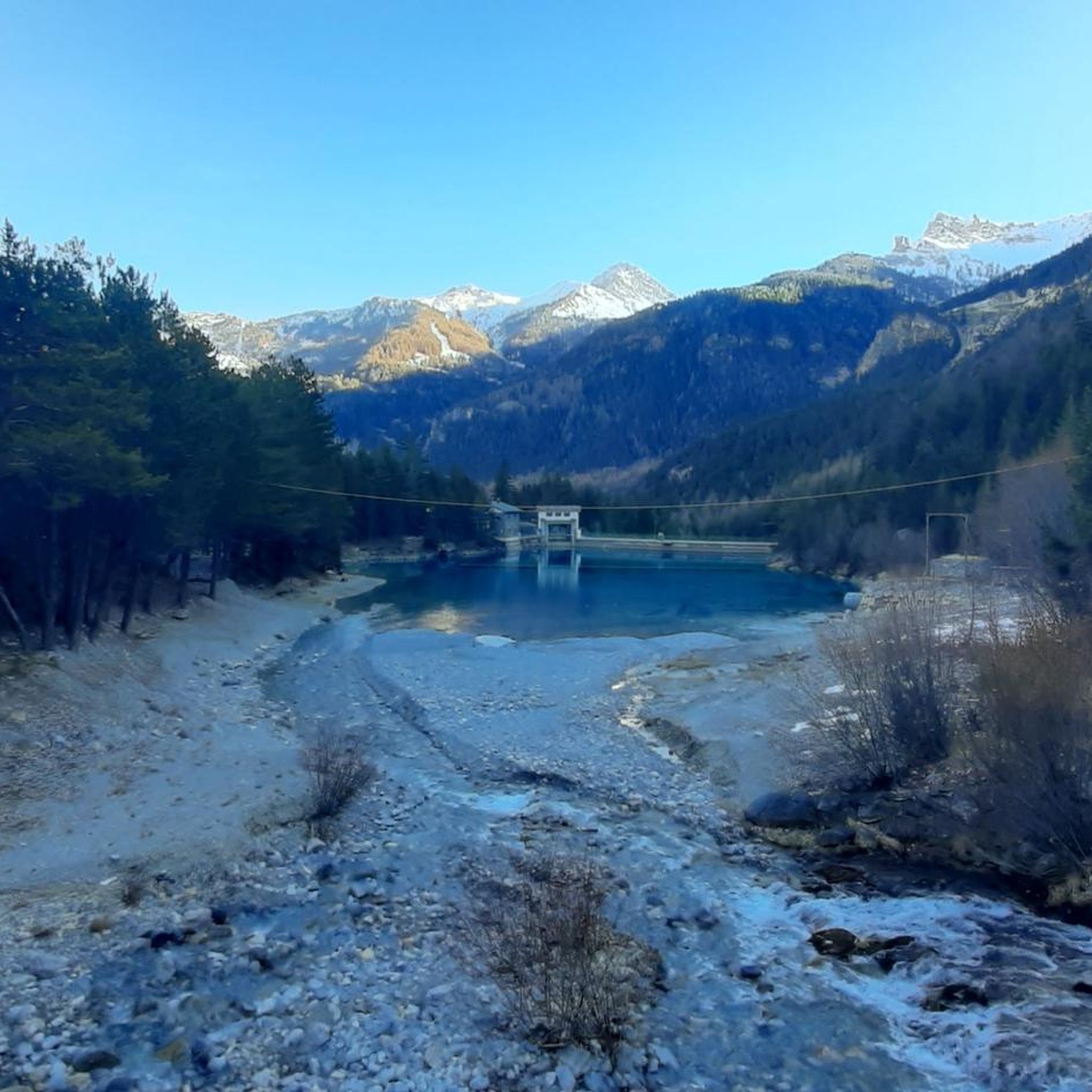
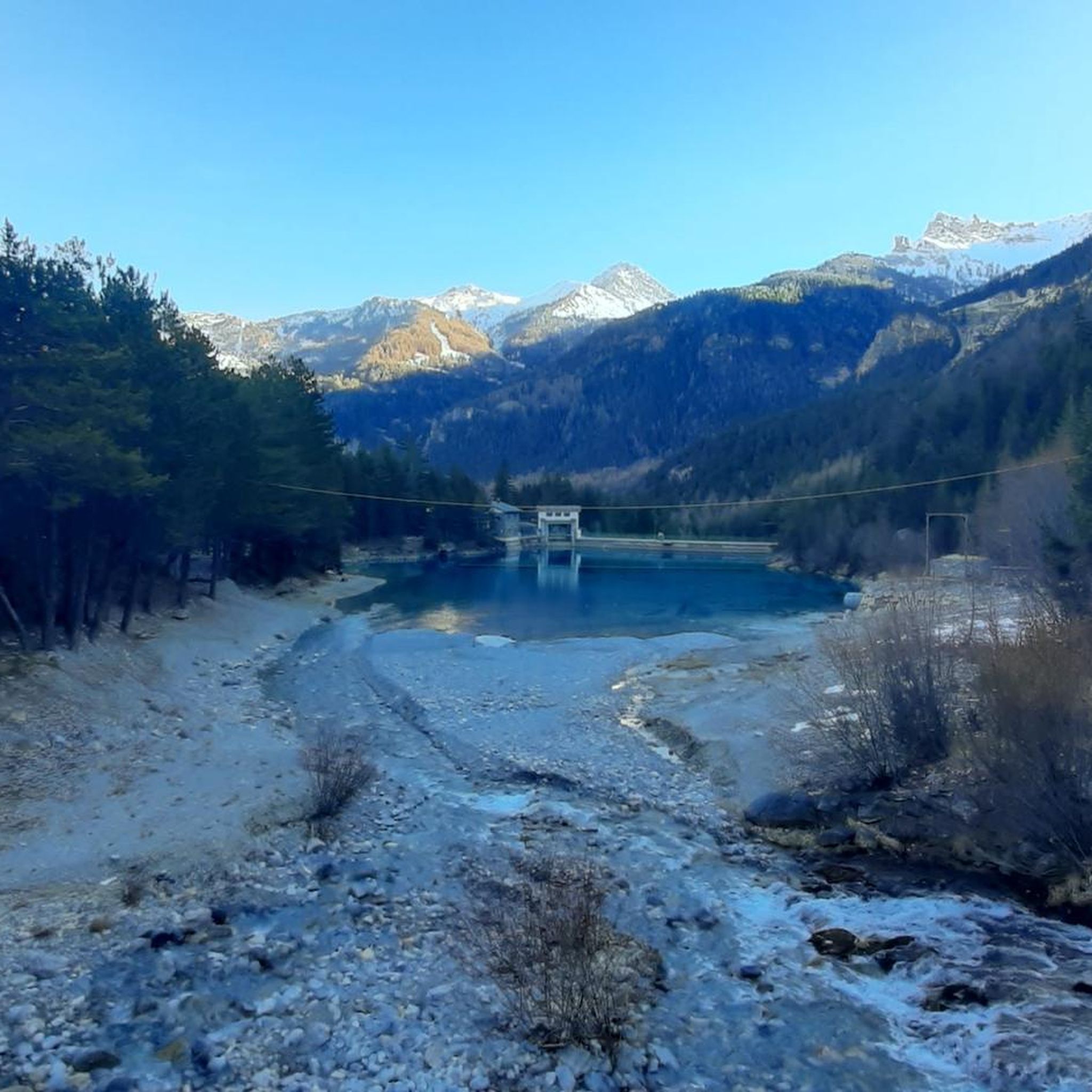
- Another top favourite among local hikers is Les Arnaud Dam Trail from Melezet (via Route 757), a moderate 4.6 miles (7.4 km) path. It follows a path through varied terrain, including forested sections.
- Local hikers also love the Poggio Tre Croci Trail, a 6.4 miles (10.3 km) trail leading through dense conifer forests and scree slopes, often completed in about 5 hours 25 minutes.
- Hiking in Les Arnaud E Punta Quattro Sorelle is defined by dramatic calcareous peaks, extensive larch and stone pine forests, and rocky landscapes. The network offers options for various ability levels, from moderate walks to more demanding ascents.
- The routes in Les Arnaud E Punta Quattro Sorelle are highly rated by the komoot community with an average score of 4.6 stars from over 350 reviews. More than 2900 hikers have used komoot to explore Les Arnaud E Punta Quattro Sorelle's varied terrain.
Last updated: July 7, 2026
4.0
(5)
20
hikers
9.26km
03:37
600m
600m
Hike the moderate 5.8-mile Grange della Rho and Pian dei Morti Loop, featuring panoramic views and historical sites near Bardonecchia.
4.8
(5)
19
hikers
7.36km
02:24
200m
200m
Forest trail past historic dam ruins with sweeping views over Bardonecchia's alpine basin.

Sign up for free
2
hikers
10.3km
05:25
1,040m
1,040m
Hike the Poggio Tre Croci Trail from Bardonecchia (via Trail 758), a difficult 6.4-mile route with 3421 feet of elevation gain to panoramic
4.6
(90)
570
hikers
Moderate hike. Good fitness required. Mostly accessible paths. Sure-footedness required.
4.6
(12)
64
hikers
Hard hike. Very good fitness required. Mostly accessible paths. Sure-footedness required.
Get access to more routes and recommendations from other explorers.
Sign up for free
Already have an account?
Our route recommendations are based on thousands of hikes, rides, and runs completed by other people on komoot.
Start today with a free account
Your next adventure awaits.
Login or Signup
Popular around Les Arnaud E Punta Quattro Sorelle
Road Cycling Routes in Les Arnaud E Punta Quattro Sorelle
MTB Trails in Les Arnaud E Punta Quattro Sorelle
Cycling in Les Arnaud E Punta Quattro Sorelle

Gravel biking in Les Arnaud E Punta Quattro Sorelle
Running Trails in Les Arnaud E Punta Quattro Sorelle
Mountain Hikes in Les Arnaud E Punta Quattro Sorelle
Tips from the Community

I went on April 12, 26, starting from Nevache (campsite parking) and taking the Lucianina trail. Shortly after the second bridge, a recent avalanche had brought down numerous trees. Due to drifts of non-supporting snow and debris, I recommend crossing to the left bank (road) using one of the two wooden bridges encountered after the dam.
1
0
I went on April 12, 26, starting from Nevache (camping parking) and taking the Lucianina trail. Shortly after the second bridge, a recent avalanche had brought down numerous trees. Due to non-bearing snowdrifts and debris, I recommend crossing to the left bank (carriageway) using one of the two wooden bridges encountered after the dam.
0
0

Boots and a backpack were the bare essentials.
0
0

Wonderful, one of the most beautiful routes I've ever seen. The gradient is well distributed throughout the route and isn't too tiring. The view from the three crosses is breathtaking.
0
0

The Works of the Four Sisters (Battery B3 and Battery B4) are two similar fortifications located on the slopes of Punta Quattro Sorelle, in the municipality of Bardonecchia, built between 1938 and 1939 to replace the nineteenth-century open-arrangement battery positioned on Mount Gasparre.
0
0

Run by Riccardo and Anna, the refuge is located in the Vallée Étroite, on a listed and protected site. The refuge can accommodate up to 34 visitors for the night and offers delicious traditional Italian cuisine.
0
0
The refuge of the Three Mages is located in the protected area of Valle Stretta, a splendid valley of Briançonnais. The refuge offers beds in rooms and dormitories. You can also eat and taste typical Piedmontese cuisine. All information and reservations can be found on the refuge website: https://rifugio.iremagi.it/index.php/italia/
0
0

The Grange of Valle Stretta are worth a visit, a mountain environment that recalls the Dolomite valleys
0
0
Frequently Asked Questions
How many hiking trails are available in Les Arnaud E Punta Quattro Sorelle?
There are over 25 hiking trails in Les Arnaud E Punta Quattro Sorelle, catering to various skill levels. This includes 8 easy routes, 14 moderate trails, and 4 more challenging options for experienced hikers.
What is the best time of year to go hiking in Les Arnaud E Punta Quattro Sorelle?
The best time to hike in Les Arnaud E Punta Quattro Sorelle is generally from late spring to early autumn. During these months, the weather is more stable, and trails are typically free of snow, allowing access to both the lower, vegetated slopes and the higher, rocky elevations.
What is the general difficulty level of hikes in this region?
Hikes in Les Arnaud E Punta Quattro Sorelle range from moderate walks to more demanding ascents. Many trails involve significant elevation gain, with some reaching over 1,000 meters, and can extend beyond five hours. For example, the Poggio Tre Croci Trail is considered difficult, covering 10.3 km with over 1000m of elevation gain.
Are there any family-friendly hiking trails in Les Arnaud E Punta Quattro Sorelle?
Yes, there are family-friendly options, particularly among the 8 easy routes available. These trails often feature softer, more vegetated terrain in the lower slopes and Rhô valley, making them suitable for families. While specific family-friendly routes aren't detailed, look for trails with less elevation gain and shorter distances.
Are dogs allowed on the hiking trails in Les Arnaud E Punta Quattro Sorelle?
While specific regulations for dogs on trails are not detailed, the area is a Natura 2000 protected site, which means certain rules may apply to protect local flora and fauna. It's always advisable to keep dogs on a leash, especially in areas where wildlife like chamois, deer, roe deer, and marmots are present, and to check local signage for any specific restrictions.
Are there circular hiking routes available?
Yes, there are several circular routes. A popular option is the Grange della Rho and Pian dei Morti Loop, a moderate 9.3 km trail that offers views of the surrounding valleys and forested areas. Another is the Melezet Dam – Lake of the Arnauds Dam loop from Rio di Valle Stretta, a more challenging 15 km route.
What unique natural features can I expect to see while hiking?
The region boasts striking geological contrasts, including "dolomitic-looking" calcareous peaks and vast, sparsely vegetated scree slopes at higher altitudes. You'll also find extensive forests of larch and stone pine, with Scots pine in Valle Stretta, and diverse flora including protected species like *Paradisea liliastrum* and various orchids. Curiously shaped rocky pinnacles also dot the landscape.
What historical sites or landmarks can I explore along the trails?
The area is rich in history, particularly military heritage. You can explore a military road dating back to WWII leading towards Poggio Tre Croci. The summit of Punta Quattro Sorelle itself hosts the remains of two 19th-century observatories. Other notable sites include the evocative N.D. du Coignet Chapel and the Ricovero Rossero, another 19th-century military structure.
Is public transport available to reach the trailheads?
Information regarding specific public transport options directly to trailheads within Les Arnaud E Punta Quattro Sorelle is not readily available. Most hikers typically access the area via Bardonecchia, which may have local bus services or taxis to reach starting points. It's recommended to check local transport schedules from Bardonecchia.
Where can I find parking near the hiking trails?
While specific parking areas for individual trailheads are not detailed, Bardonecchia serves as a primary access point for the region. It is likely that parking facilities are available in or near Bardonecchia, from where you can access various starting points for hikes into Les Arnaud E Punta Quattro Sorelle. Look for designated parking areas in villages or near popular access roads.
What do other hikers enjoy most about hiking in Les Arnaud E Punta Quattro Sorelle?
The area is highly rated by the komoot community, with an average score of 4.6 stars from over 350 reviews. Hikers often praise the diverse landscapes, from dramatic calcareous peaks to serene forests, and the varied trekking experiences suitable for different ability levels. The extensive views from higher points, such as Punta Quattro Sorelle, are also frequently highlighted.
What kind of wildlife might I encounter?
The diverse habitats support a rich array of fauna. You might spot typical Alpine ungulates like chamois in rocky areas, and deer and roe deer at the forest edges. Marmots are common in rupicolous grasslands, while squirrels inhabit the forest vegetation. The area is also home to around 25 nesting bird species, including the golden eagle and red-backed shrike.
Are there any long or challenging routes for experienced hikers?
Yes, for experienced hikers seeking a challenge, routes with significant elevation gain are available. The Poggio Tre Croci Trail, for instance, is a difficult 10.3 km path with over 1000 meters of ascent, often taking more than 5 hours. The climb to Punta Quattro Sorelle itself can be demanding, involving steep, zigzagging paths through scree, sometimes equipped with fixed ropes.
Most popular routes in Les Arnaud E Punta Quattro Sorelle
Most popular attractions in Les Arnaud E Punta Quattro Sorelle

Get inspired with the komoot mobile app


Explore more
Browse the best Hikes in other regions.
