The best road cycling routes in Les Arnaud E Punta Quattro Sorelle
4.3
(47)
1,509
riders
14
rides
Road cycling in Les Arnaud E Punta Quattro Sorelle features routes through alpine valleys and along mountain slopes, providing varied gradients for cyclists. The region, located in Torino, offers a landscape characterized by significant elevation changes and scenic roads. Cyclists can expect a mix of challenging climbs and rewarding descents within this natural park setting.
Best road cycling routes in Les Arnaud E Punta Quattro Sorelle
- The most popular road cycling route is Jafferau, Bardonecchia – Tur d'Amun loop from…
Last updated: October 18, 2026
3.0
(1)
46
riders
20.9km
01:32
760m
760m
Moderate road ride. Good fitness required. Some segments of this route may be unpaved and difficult to ride.
4.3
(3)
107
riders
72.6km
03:42
1,180m
1,180m
Hard road ride. Very good fitness required. Some segments of this route may be unpaved and difficult to ride.

3.3
(4)
34
riders
12.7km
00:44
300m
300m
Easy road ride. Great for any fitness level. Mostly well-paved surfaces and easy to ride.
5
riders
6.38km
00:24
150m
150m
Easy road ride. Great for any fitness level. Mostly well-paved surfaces and easy to ride.
4.7
(15)
377
riders
32.4km
02:04
870m
870m
Moderate road ride. Good fitness required. Some segments of this route may be unpaved and difficult to ride.
Get access to more routes and recommendations from other explorers.
Already have an account?
Our route recommendations are based on thousands of hikes, rides, and runs completed by other people on komoot.
Start today with a free account
Your next adventure awaits.
Popular around Les Arnaud E Punta Quattro Sorelle

Tips from the Community

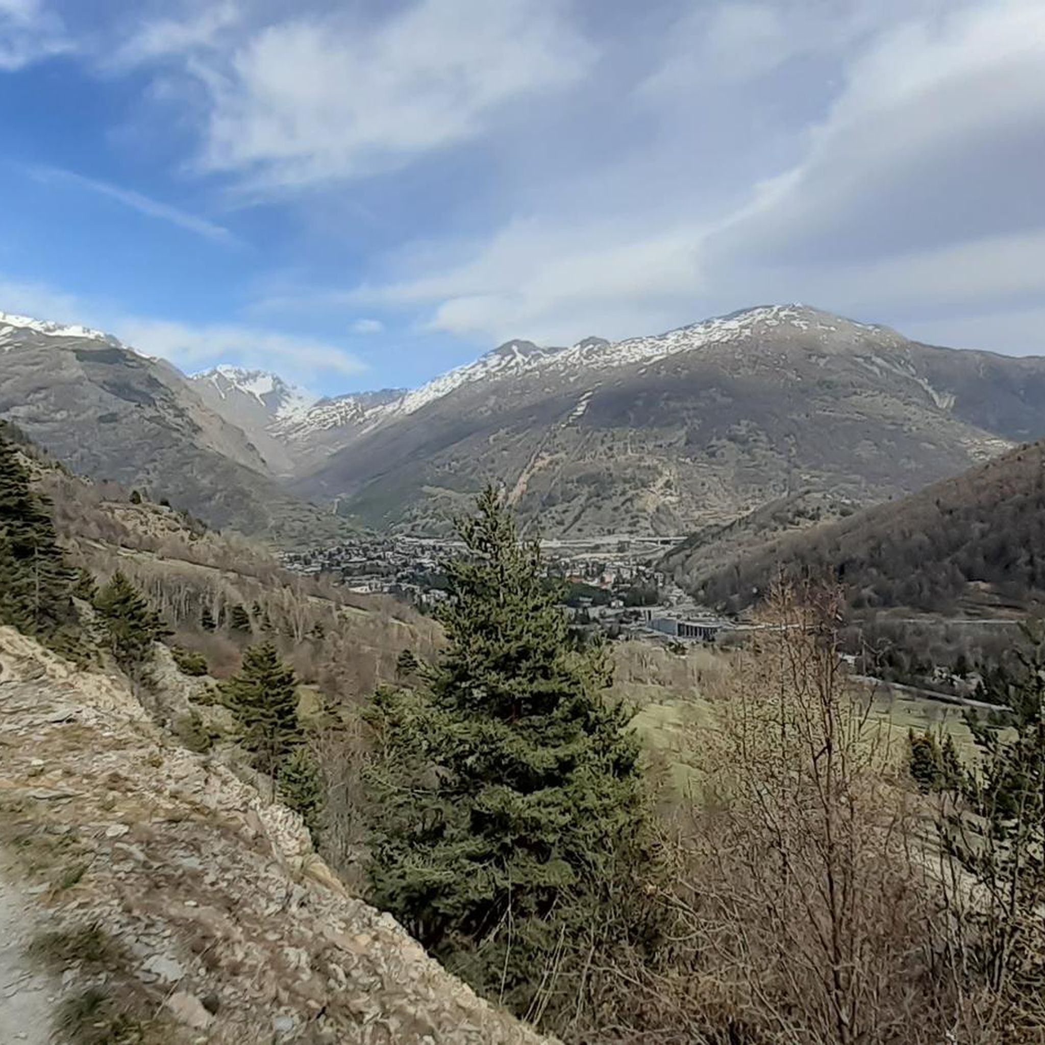
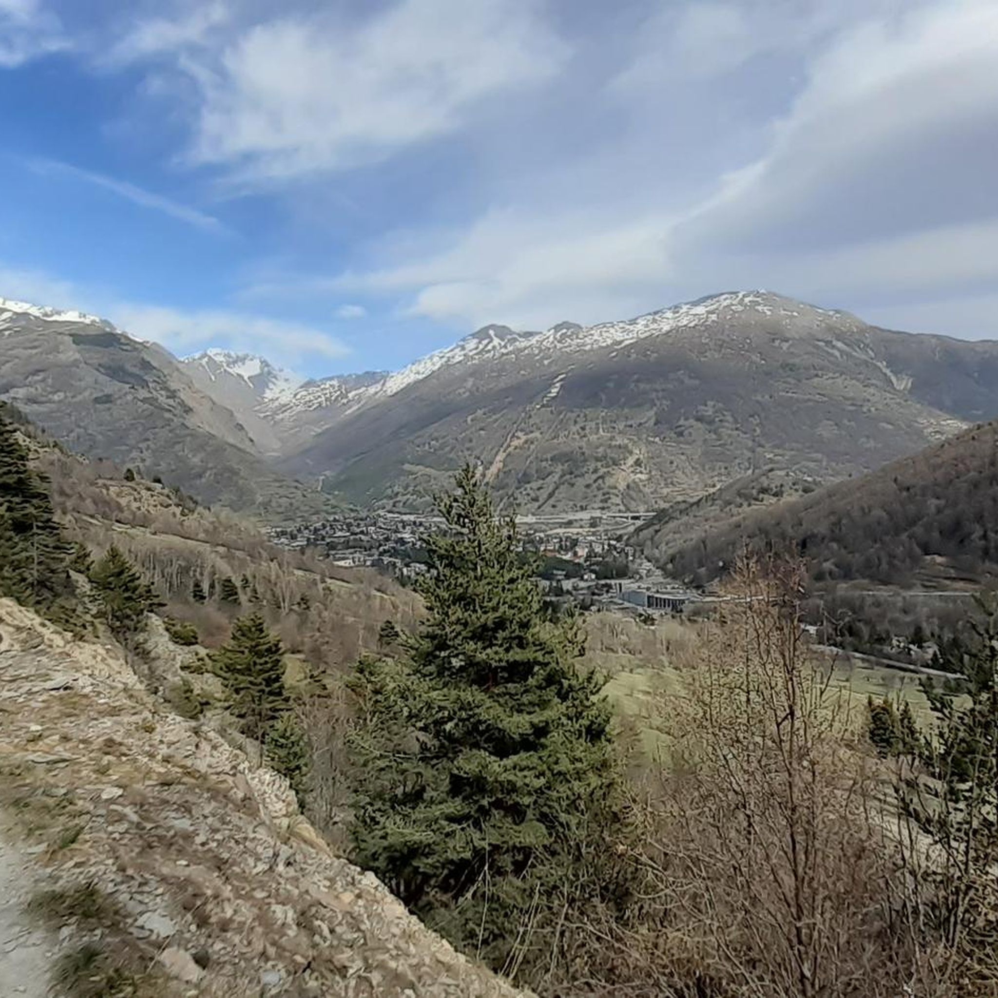
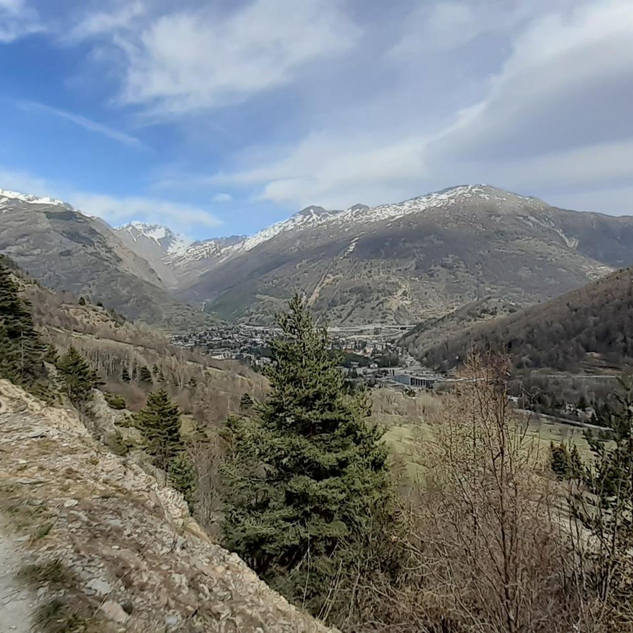
Starting point of the fabulous military road of Pramand, which goes beyond the summit of Jafferau, up to Salbertrand
0
0
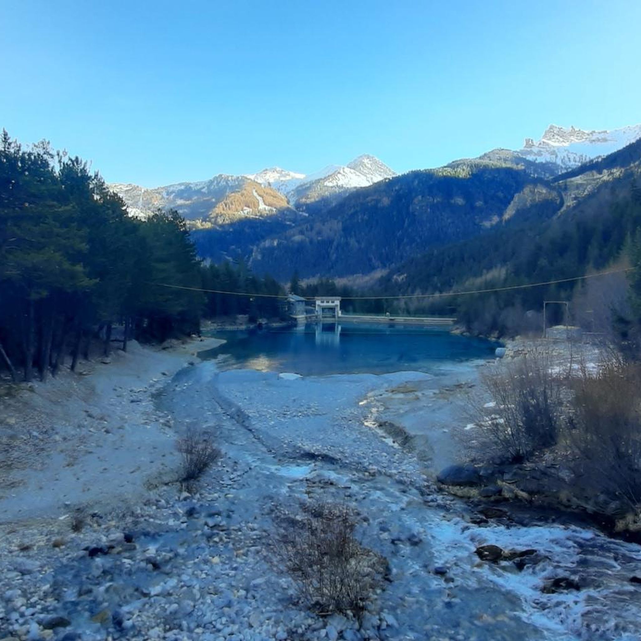
A beautiful holiday structure along the route
0
0

Hill with a stunning setting that is definitely worth a visit
2
0

This tower is part of the city's old medieval fortifications. It can be reached either by a fairly good (but fairly straight) dirt road from the east side, or by the paved Via Tur d'Amun and a short dirt section. Behind the tower, archaeological excavations have uncovered the ancient structures of the defensive complex (the excavation site is currently closed for construction [August 2025]). The view of Bardonecchia and the surrounding mountains is stunning.
0
0

Smooth climb with excellent views.
18
0
This climb is very beautiful, at the top a beautiful pine forest awaits you.
18
0
A medium-difficulty climb on perfect asphalt, and of course, there's no shortage of views.
18
0

The church of Our Lady of the Bridge was built between 1266 and 1369.
0
0
Frequently Asked Questions
How many road cycling routes are available in Les Arnaud E Punta Quattro Sorelle?
There are 15 road cycling routes in Les Arnaud E Punta Quattro Sorelle, offering a diverse range of options for cyclists. These include 3 easy routes, 8 moderate routes, and 4 difficult routes.
What do other road cyclists enjoy most about road cycling in Les Arnaud E Punta Quattro Sorelle?
The area is highly rated by the komoot community, with an average score of 4.6 stars from over 70 reviews. Cyclists often praise the region's alpine valleys, challenging mountain passes, and varied elevation profiles, which provide both scenic beauty and rewarding rides.
Are there challenging road bike climbs in Les Arnaud E Punta Quattro Sorelle?
Yes, Les Arnaud E Punta Quattro Sorelle is known for its significant elevation changes, offering several challenging climbs. For instance, the Clarée Valley – Route Toward Col de l'Échelle loop from Bardonecchia is a difficult 57.4 km trail with over 1100 meters of elevation gain, leading through mountain passes and valleys.
Are there beginner-friendly road cycling routes in the region?
Absolutely. For those looking for a less strenuous ride, there are easy routes available. The Opera 119 loop from Bardonecchia is an excellent choice, offering a shorter 6.1 km path with gentle gradients, perfect for a relaxed ride.
What is the best time of year for road biking in Les Arnaud E Punta Quattro Sorelle?
Given the region's alpine characteristics, the best time for road cycling is typically from late spring through early autumn (May to October). During these months, the weather is generally more stable, and mountain passes are clear of snow, providing optimal conditions for exploring the scenic routes.
Are there any loop road bike trails in Les Arnaud E Punta Quattro Sorelle?
Yes, many of the routes in the region are designed as loops, allowing you to start and finish in the same location. Examples include the popular Jafferau, Bardonecchia – Tur d'Amun loop from Bardonecchia and the Montée vers le Mauvais Pas – Tornanti scala loop from Bardonecchia.
What kind of scenic viewpoints can I expect along the road cycling routes?
The routes in Les Arnaud E Punta Quattro Sorelle offer breathtaking mountain vistas and views of alpine valleys. You can find specific viewpoints like Three Crosses Hill, which provides panoramic scenery, or explore trails like The old road to Col de la Roue for historical and natural beauty.
Are there any interesting landmarks or historical sites to see while road cycling?
Yes, the region has historical points of interest. For example, you might encounter the Pian dei Morti Barracks, offering a glimpse into the area's past, or explore trails such as the Rose Walk (Les Arnauds – Borgovecchio).
How long are the road bike trails in Les Arnaud E Punta Quattro Sorelle?
The trail lengths vary significantly to suit different preferences and fitness levels. You can find shorter routes like the Opera 119 loop from Bardonecchia at 6.1 km, or longer, more demanding rides such as the Paradise Walk – Col de l'Échelle loop from Roubion, which spans over 31 km.
Is parking available near the road cycling trailheads?
Many road cycling routes in Les Arnaud E Punta Quattro Sorelle start from towns like Bardonecchia, where public parking options are generally available. It's advisable to check specific starting points for detailed parking information, especially during peak seasons.
Can I reach the road cycling trailheads using public transport?
Bardonecchia, a common starting point for many routes, is accessible by train, making it possible to reach some trailheads via public transport. From there, you can often cycle directly onto the routes. For more remote starting points, a combination of public transport and a short ride might be necessary.
Most popular routes in Les Arnaud E Punta Quattro Sorelle
Most popular attractions in Les Arnaud E Punta Quattro Sorelle

Get inspired with the komoot mobile app


Explore more
Browse the best Road cycling routes in other regions.
