The best mountain hikes in Valle Thuras
4.5
(6)
104
hikers
6
hikes
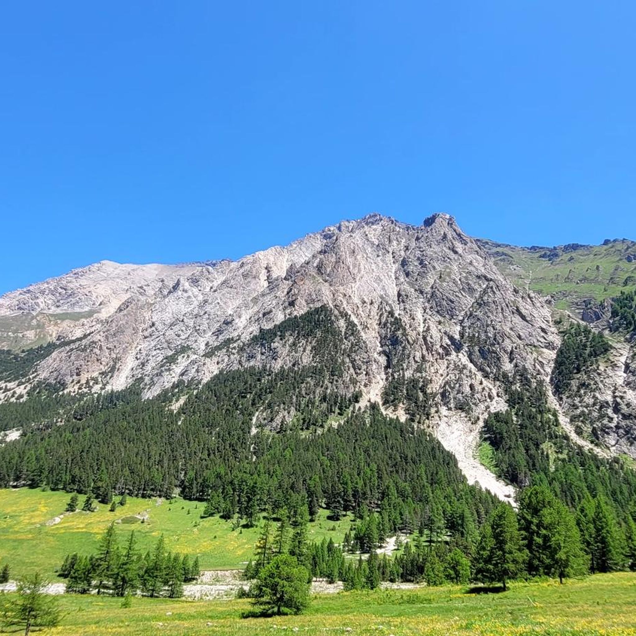
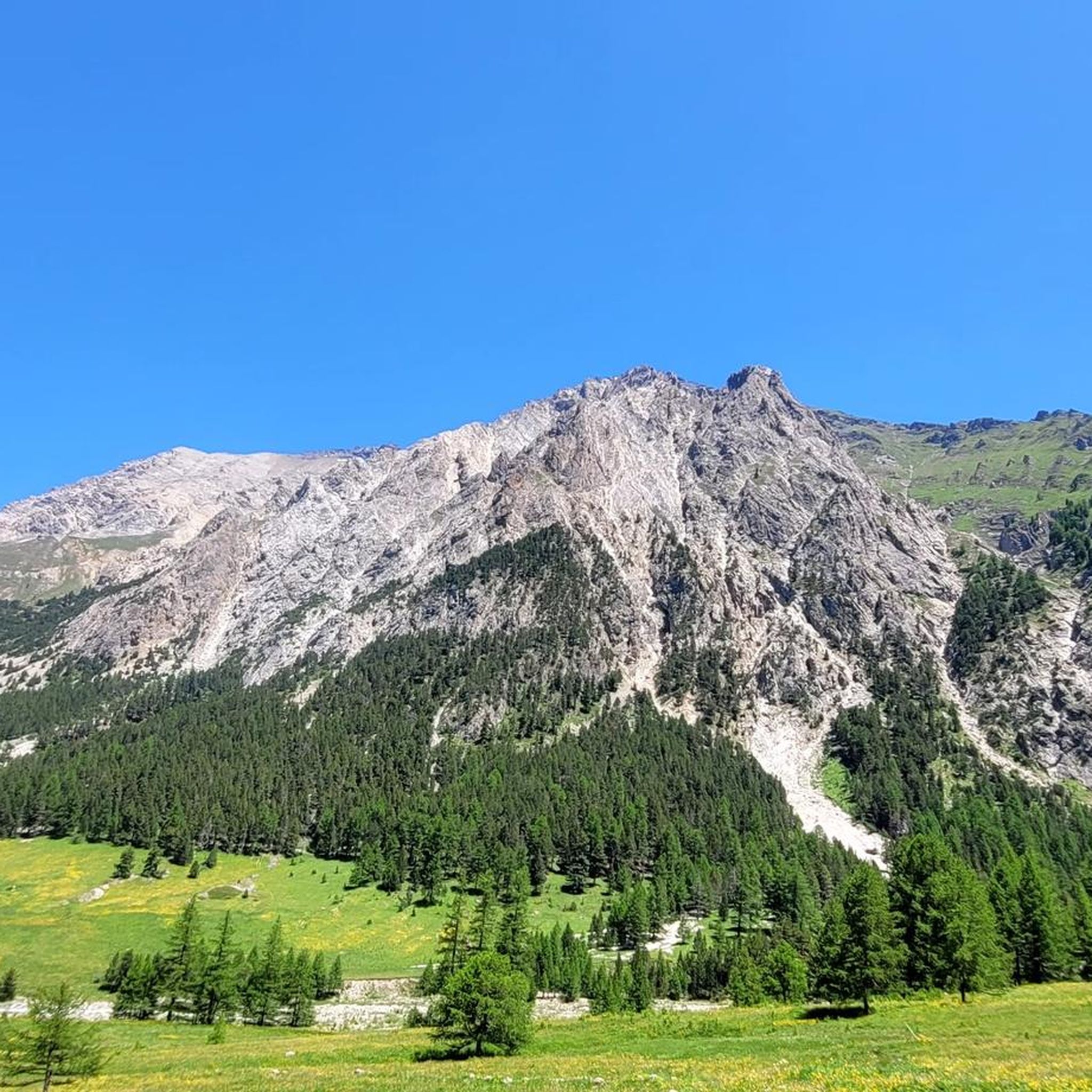
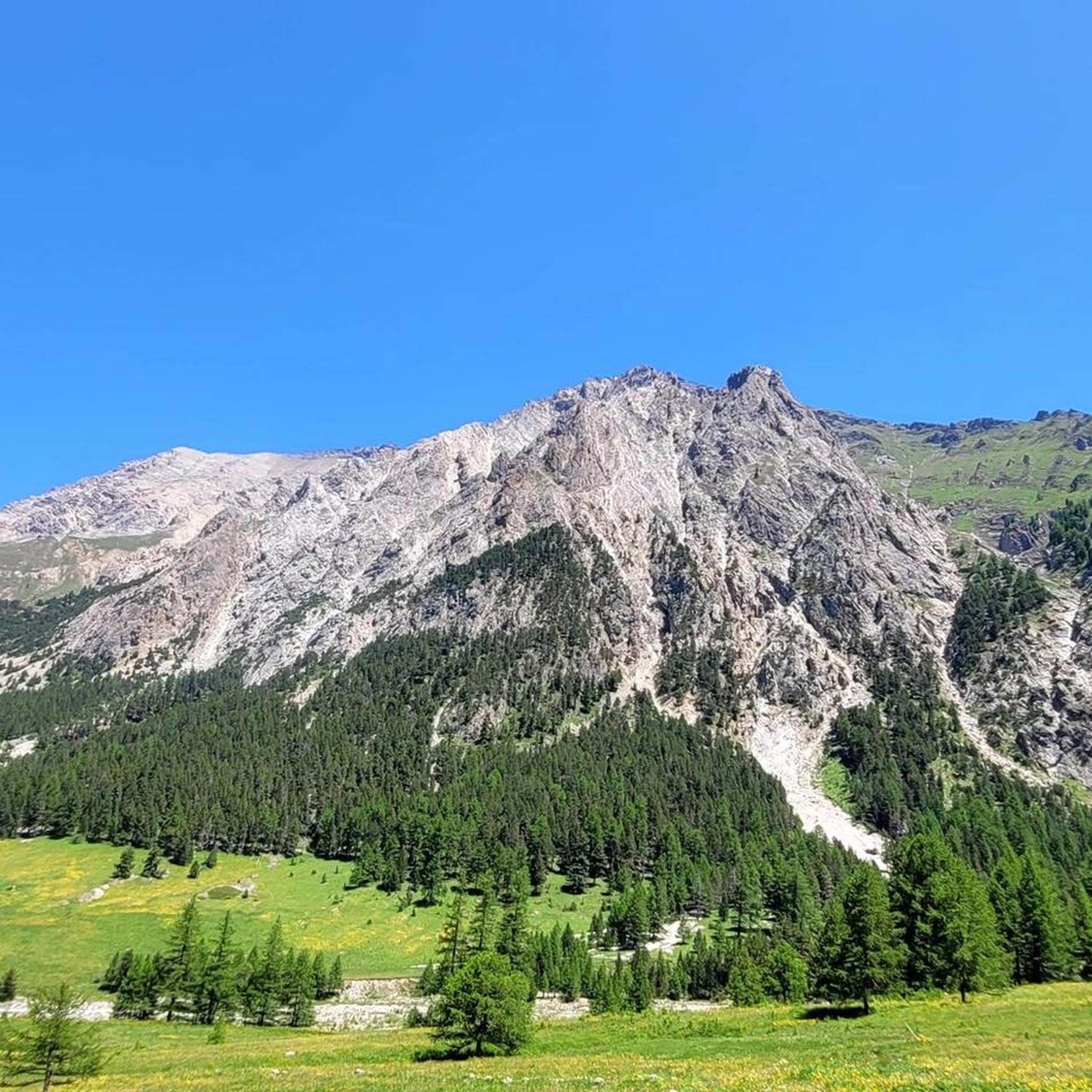
Mountaineering in Valle Thuras offers a range of challenging routes through alpine terrain. The region, also known as Val di Thures, is characterized by its high mountain passes, rugged peaks, and deep valleys, providing a diverse landscape for advanced mountaineering. Elevations vary significantly, with routes often ascending above the tree line into rocky, exposed environments. The area is well-suited for those seeking demanding ascents and panoramic views.
Best mountaineering routes in Valle Thuras
- The most popular mountaineering route is Bivacco Matteo Corradini loop from Thures, a 9.0 miles (14.6 km) trail that takes 6 hours 54 minutes to complete. This difficult route features significant elevation gain and leads to a high-altitude bivouac.
- Another top favourite among local mountaineers is Mountaineering loop from Thures, a difficult 11.3 miles (18.2 km) path. This route traverses varied alpine terrain, offering expansive views of the surrounding peaks.
- Local mountaineers also love the Monte Giassiez loop from Thures, a 12.0 miles (19.4 km) trail leading through high mountain ridges and valleys, often completed in about 7 hours 24 minutes.
- Mountaineering in Valle Thuras is defined by challenging ascents, rocky ridges, and panoramic alpine vistas. The network offers options primarily for experienced mountaineers, with 10 difficult routes and 2 moderate routes available.
- The routes in Valle Thuras are highly rated by the komoot community with an average score of 4.5 stars from over 20 reviews. More than 200 mountaineers have used komoot to explore Valle Thuras's varied terrain.
Last updated: August 16, 2026
10
hikers
18.2km
07:35
1,410m
1,410m
Hard mountaineering route. Very good fitness required. Mostly accessible paths. Sure-footedness required.
5.0
(1)
11
hikers
19.4km
07:22
1,080m
1,080m
Hard mountaineering route. Very good fitness required. Mostly accessible paths. Sure-footedness required.

Sign up for free
5.0
(1)
12
hikers
14.6km
07:21
1,180m
1,180m
Hard mountaineering route. Very good fitness required. Sure-footedness, sturdy shoes and alpine experience required.
4.0
(1)
30
hikers
6.22km
03:18
410m
410m
Hard mountaineering route. Good fitness required. Sure-footedness, sturdy shoes and alpine experience required.
12
hikers
5.90km
02:56
510m
510m
Hard mountaineering route. Good fitness required. Sure-footedness, sturdy shoes and alpine experience required.
Our route recommendations are based on thousands of hikes, rides, and runs completed by other people on komoot.
Start today with a free account
Your next adventure awaits.
Login or Signup

Tips from the Community

There are 2 paths to reach the high battery, a mule track with numerous hairpin bends that passes the low battery, and another with steeper sections. Since 2026, the main structure of the high battery has been transformed into the cozy Chaberton bivouac, a name given not by chance as we are at the foot of this mountain
0
0
A small lake formed by the damming of the Chisonetto stream
0
1

A summit offering a stunning 360-degree view! Highly recommended for a beautiful sunset!
0
0

as soon as you arrive at the high battery you will see a semi-ruined building...go in and admire the 224 steps that lead you directly to the highest point of the battery...bring a small torch
0
0

It can be reached starting from Thures with a simple walk suitable for everyone
0
0

Easy walk, low altitude difference and paths accessible to all. Fascinating springs of ferruginous water, very beautiful valley and landscape. Too bad there is no real destination to reach where you can stop to eat and rest a bit.
0
1

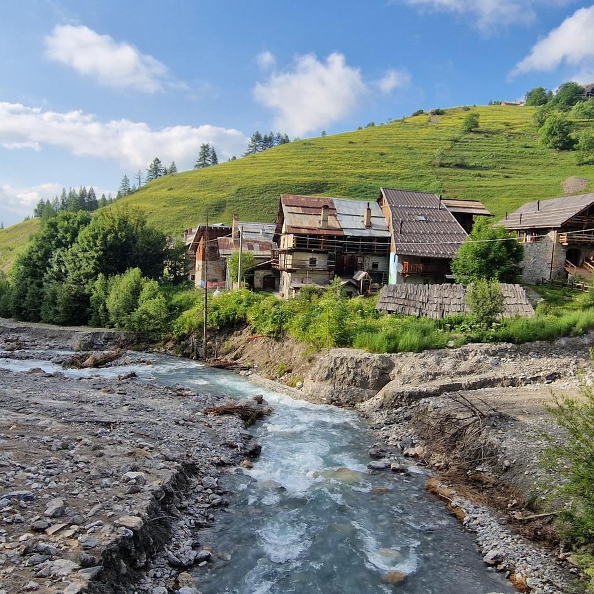
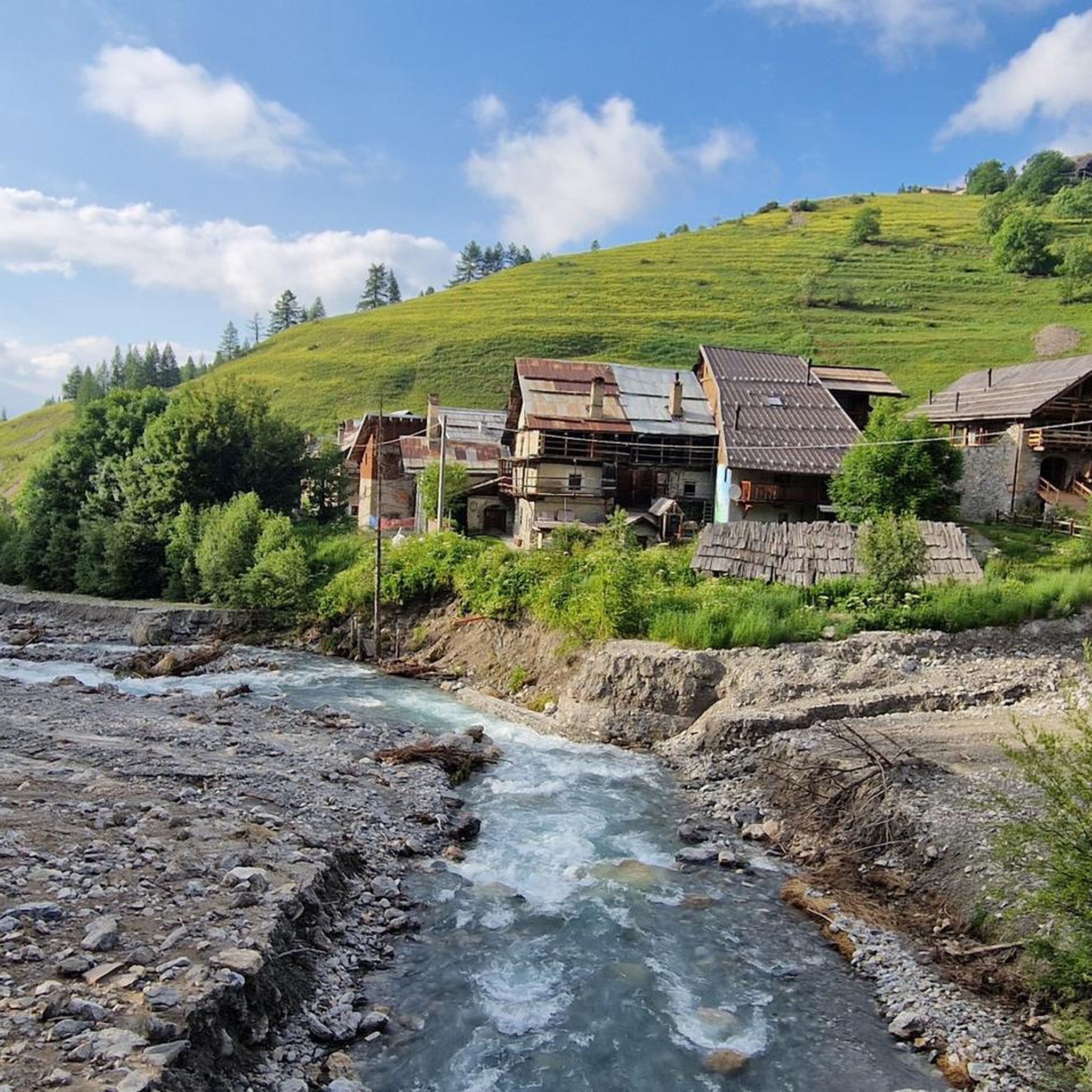
Very characteristic and pretty village both in winter and summer.
0
0
Nice village of Cesana, where access by motor vehicles, lately, is allowed only to residents. If we want to go on an excursion that passes through here, we have to start 2 km before, at the beginning of the dirt road, on the bend of the road that goes to Thures
0
0
Frequently Asked Questions
What is the typical difficulty level of mountaineering routes in Valle Thuras?
Valle Thuras is primarily known for its challenging routes, with 10 out of 12 available routes rated as difficult. There are also 2 moderate routes for those looking for a slightly less strenuous experience. The region's rugged peaks and high mountain passes make it ideal for experienced mountaineers seeking demanding ascents.
Are there any routes suitable for beginners or families in Valle Thuras?
While Valle Thuras is largely geared towards experienced mountaineers, there are a couple of moderate routes available. For instance, the Cima del Bosco loop from Thures is a moderate option that offers a taste of the region's beauty without the extreme demands of the more difficult ascents. However, even moderate routes in this alpine environment require appropriate gear and preparation.
What is the best time of year for mountaineering in Valle Thuras?
The best time for mountaineering in Valle Thuras is generally during the summer months, from late June to early September, when snow has largely melted from higher elevations and weather conditions are more stable. However, always check local weather forecasts and trail conditions before heading out, as alpine weather can change rapidly.
Are there any circular mountaineering routes in Valle Thuras?
Yes, many of the mountaineering routes in Valle Thuras are designed as loops, allowing you to start and finish at the same point. Examples include the popular Bivacco Matteo Corradini loop from Thures, the Mountaineering loop from Thures, and the Monte Giassiez loop from Thures.
What are some routes in Valle Thuras that offer the best views?
Many routes in Valle Thuras offer expansive views of the surrounding peaks and valleys. The Mountaineering loop from Thures traverses varied alpine terrain, providing panoramic vistas. Similarly, the Monte Giassiez loop from Thures leads through high mountain ridges, offering stunning alpine scenery.
What do other mountaineers enjoy most about the routes in Valle Thuras?
The routes in Valle Thuras are highly rated by the komoot community, with an average score of 4.5 stars from over 20 reviews. Reviewers often praise the challenging ascents, the rugged alpine environment, and the rewarding panoramic views that define the region's mountaineering experience.
What is the typical duration for mountaineering routes in Valle Thuras?
The duration of mountaineering routes in Valle Thuras varies depending on the specific trail and your pace. For example, the Bivacco Matteo Corradini loop from Thures typically takes around 6 hours 54 minutes, while the Monte Giassiez loop from Thures can take about 7 hours 24 minutes. Shorter, moderate options like the Cima del Bosco loop from Thures are closer to 4 hours.
Are there any specific permits required for mountaineering in Valle Thuras?
Generally, specific permits are not required for day mountaineering in Valle Thuras. However, it's always advisable to check with local authorities or tourist information centers for any updated regulations, especially if you plan to access protected areas or stay overnight in bivouacs or refuges.
Are there parking options available at the trailheads in Valle Thuras?
Many of the mountaineering routes in Valle Thuras, particularly those starting from Thures, offer parking facilities near the trailheads. It's recommended to arrive early, especially during peak season, to secure a spot. Always ensure you park in designated areas to avoid obstructing local traffic or emergency access.
Can I do winter mountaineering in Valle Thuras?
Winter mountaineering in Valle Thuras is possible but requires significant experience, specialized equipment (such as crampons, ice axes, and avalanche safety gear), and a thorough understanding of avalanche risk. Conditions can be extremely challenging, with heavy snow, ice, and rapidly changing weather. It is strongly recommended to consult local guides and current avalanche bulletins if considering winter ascents.
Are there any cafes or places to eat near the mountaineering routes?
The village of Thures, a common starting point for many routes, may offer limited services. For more options, you might need to venture to larger nearby towns like Sestriere, which is also a starting point for some routes like the Laghetto del Chiosonetto – Chisonetto Springs loop from Sestriere. It's always best to carry sufficient food and water for your entire mountaineering trip, as services on the trails themselves are scarce.
How many mountaineering routes are available in Valle Thuras?
There are 12 mountaineering routes available in Valle Thuras, offering a diverse range of challenges for outdoor enthusiasts. These include 10 difficult routes and 2 moderate routes.
Most popular routes in Valle Thuras

Get inspired with the komoot mobile app


Explore more
Browse the best Mountain Hikes & Routes in other regions.
