The best walks and hikes in Valle Thuras
4.6
(3250)
20,958
hikers
14
hikes
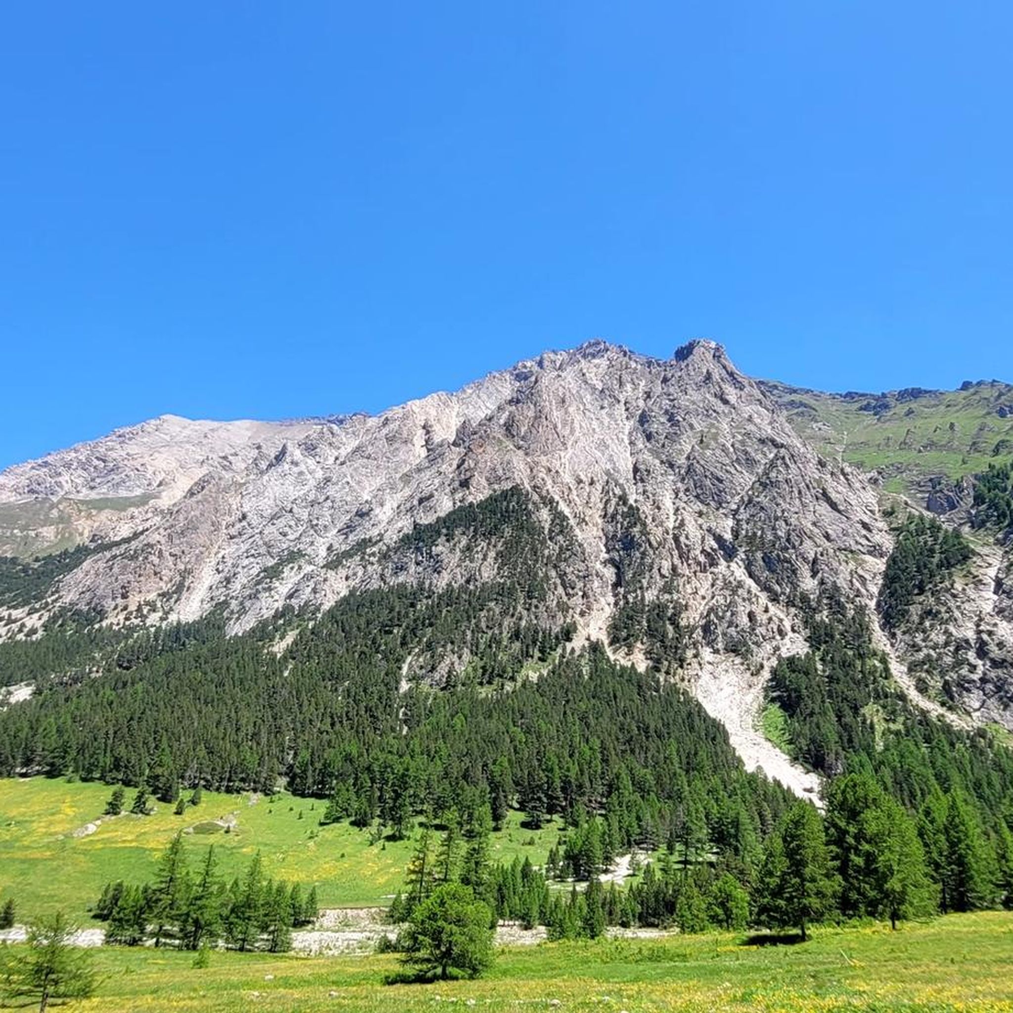
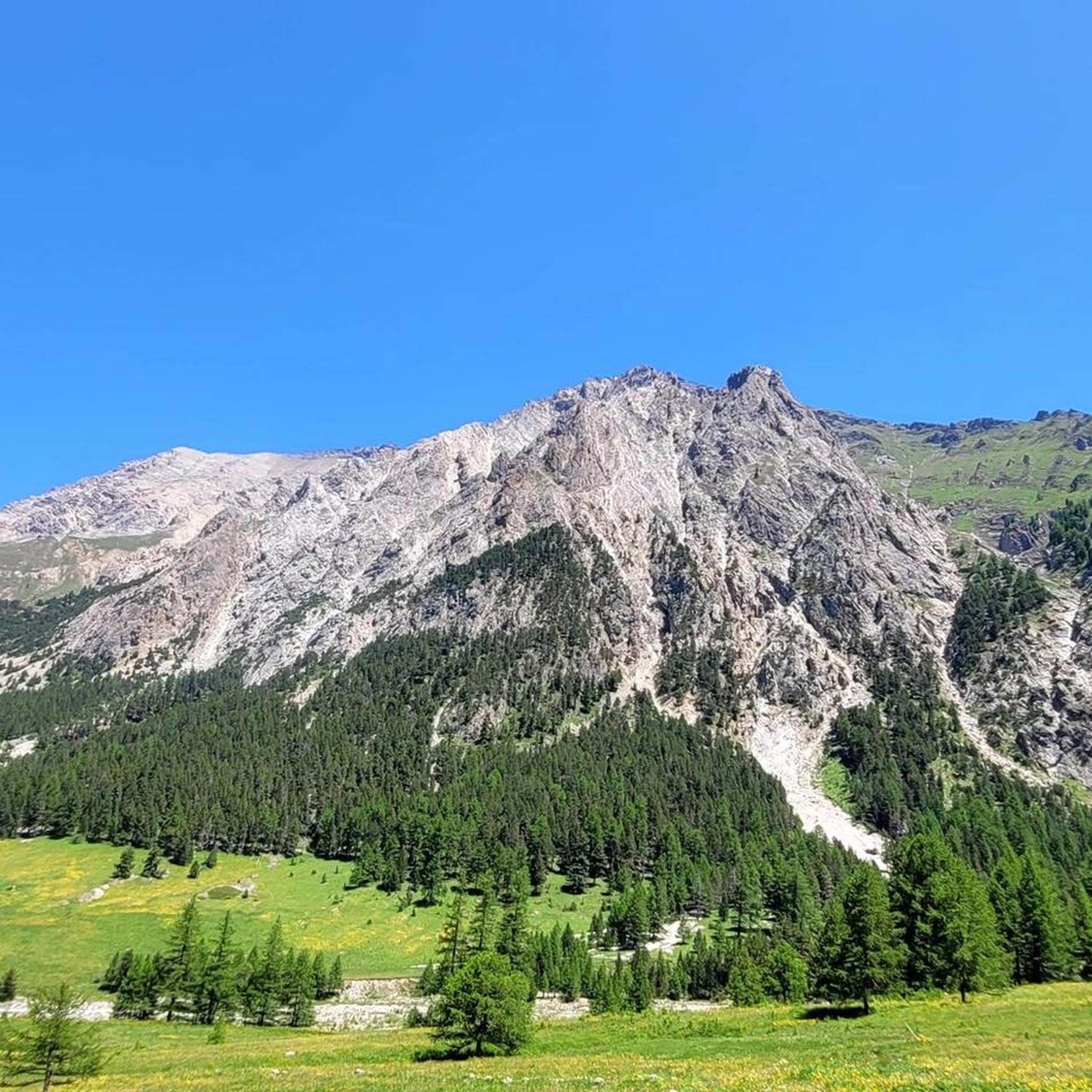
Hiking trails in Valle Thuras traverse a U-shaped valley, a result of Quaternary Era glacial activity, featuring steep slopes and a broad valley floor. The landscape is characterized by moraine deposits and a deep gorge carved by the Thuras torrent. Surrounding the valley are several peaks exceeding 3,000 meters, including Punta Ramiere and Monte Chaberton. Unique natural features include ferruginous springs near Rhuilles, which create distinctive red incrustations on rocks and vegetation.
Best hiking trails in Valle Thuras
- The most popular hiking route is Balcony Trail, a 7.0 miles (11.3 km) trail that takes 3 hours 46 minutes to complete. This moderate route offers expansive views across the valley.
- Another top favourite among local hikers is Rhuilles Alpine Hamlet – Corradini Bivouac loop from Thures, a difficult 9.7 miles (15.6 km) path. This challenging loop features significant elevation gain through alpine terrain.
- Local hikers also love the Rhuilles Alpine Hamlet – Monte Giassiez Summit loop from Thures, an 8.1 miles (13.0 km) trail leading through high mountain landscapes, often completed in about 5 hours 42 minutes.
- Hiking in Valle Thuras is defined by glacial U-shaped valleys, high alpine peaks, and unique ferruginous springs. The extensive network of routes offers options for various ability levels, from moderate paths to challenging high-altitude excursions.
- The routes in Valle Thuras are highly rated by the komoot community with an average score of 4.6 stars from over 1,900 reviews. More than 13,000 hikers have used komoot to explore Valle Thuras's varied terrain.
Last updated: August 17, 2026
4.7
(9)
62
hikers
11.3km
03:46
550m
550m
Hike the moderate 7.1-mile CAI Trail 625 from Thures to Colle Chabaud for panoramic views of the Pelvoux mountain range.
4.7
(14)
68
hikers
15.6km
06:52
1,200m
1,200m
Hard hike. Very good fitness required. Mostly accessible paths. Sure-footedness required.

Sign up for free
4.8
(12)
83
hikers
13.2km
05:41
890m
900m
Hard hike. Very good fitness required. Mostly accessible paths. Sure-footedness required.
4.3
(6)
67
hikers
25.0km
08:24
1,130m
1,130m
Hard hike. Very good fitness required. Mostly accessible paths. Sure-footedness required.
4.5
(2)
33
hikers
15.5km
07:11
1,190m
1,190m
Hard hike. Very good fitness required. Sure-footedness, sturdy shoes and alpine experience required.
Get access to more routes and recommendations from other explorers.
Sign up for free
Already have an account?
Our route recommendations are based on thousands of hikes, rides, and runs completed by other people on komoot.
Start today with a free account
Your next adventure awaits.
Login or Signup


Tips from the Community

It can be reached starting from Thures with a simple walk suitable for everyone
0
0
Reachable starting from Thures
0
0
The panoramic view is worth the climb, which is very long and challenging, with a very steep final stretch.
0
1
In order we find Lac du Fond then the Corradini Bivouac and the Dormillouse Peaks
0
0
Reachable with a circular tour from Col de Chabaud
0
0

Easy walk, low altitude difference and paths accessible to all. Fascinating springs of ferruginous water, very beautiful valley and landscape. Too bad there is no real destination to reach where you can stop to eat and rest a bit.
0
1

A small lake that you come across while climbing up to the Corradini bivouac. We can make a short stop before continuing with the steep climb
0
0
Peak on the Italian-French border, reachable from the municipality of Cesana starting from Rhuilles and passing by the Corradini bivouac below
0
0
Frequently Asked Questions
How many hiking trails are available in Valle Thuras?
Valle Thuras offers a diverse network of over 15 hiking routes, ranging from moderate paths to challenging high-altitude excursions. These trails are highly rated by the komoot community, with an average score of 4.6 stars from nearly 2,000 reviews.
What kind of terrain can I expect on hikes in Valle Thuras?
The terrain in Valle Thuras is characterized by its distinctive U-shape, a result of glacial activity, featuring steep slopes and a broad valley floor. You'll encounter moraine deposits, a deep gorge carved by the Thuras torrent, and high alpine landscapes with peaks soaring above 3,000 meters. The region is also part of an "exceptional geological park" with unique rock formations.
Are there any easy or family-friendly hiking options in Valle Thuras?
While many routes are moderate to difficult, Valle Thuras does offer options for less strenuous walks. These typically involve lower altitudes and well-trodden paths, providing an accessible way to enjoy the valley's natural beauty. For example, the area around the Rhuilles Alpine Hamlet offers charming strolls.
What are some unique natural features to look out for while hiking?
A particularly unique natural attraction is the ferruginous springs near the Rhuilles Alpine Hamlet. These springs maintain a consistent 10°C temperature and release saline waters rich in iron, creating distinctive red incrustations on surrounding rocks and vegetation. You might also encounter Lac du Fond, a tranquil small lake on routes leading to the Corradini bivouac.
Are there any circular hiking routes in Valle Thuras?
Yes, Valle Thuras features several excellent circular routes. For a challenging high-altitude experience, consider the Rhuilles Alpine Hamlet – Corradini Bivouac loop from Thures, which covers 15.6 km with significant elevation gain. Another demanding option is the Rhuilles Alpine Hamlet – Monte Giassiez Summit loop from Thures, offering expansive views.
What are the best viewpoints or panoramic trails in the valley?
Many trails in Valle Thuras offer breathtaking panoramic views, especially those reaching higher elevations. The Balcony Trail is specifically known for its expansive vistas across the valley. Additionally, CAI Trail 625 from Thures to Colle Chabaud provides panoramic views of the Pelvoux mountain range.
Are there any historical or cultural landmarks along the trails?
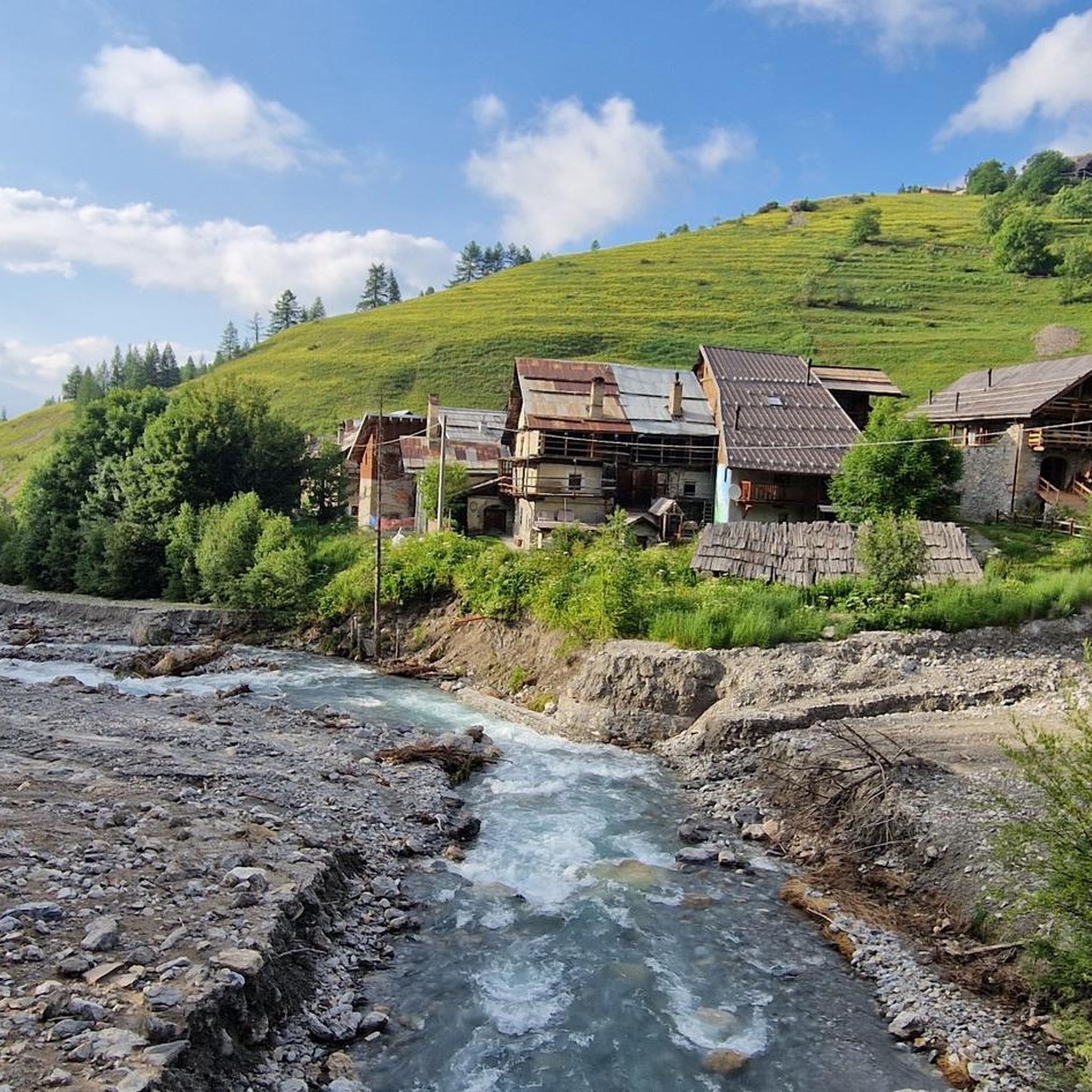
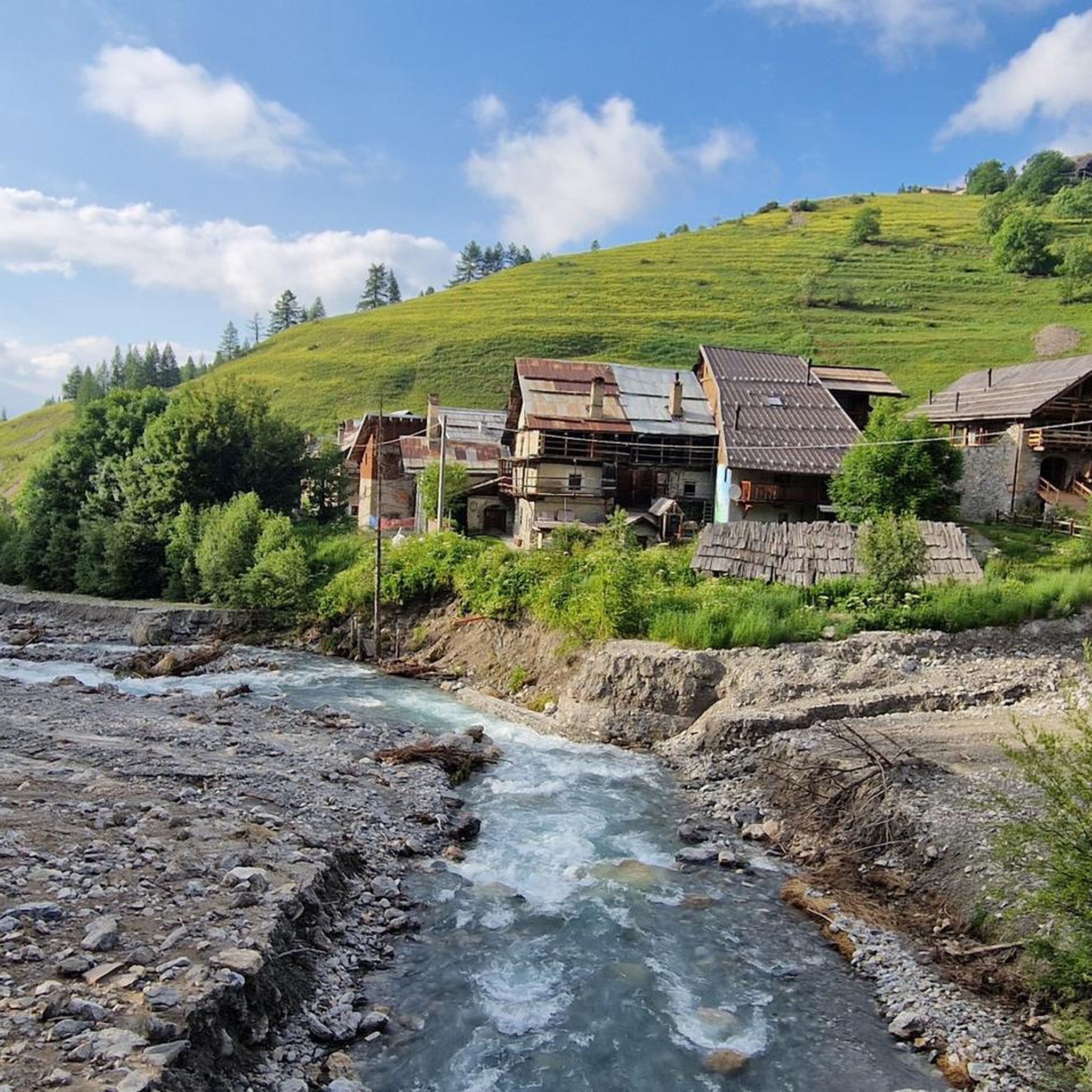
Beyond its natural beauty, Valle Thuras holds historical interest. The Rhuilles Alpine Hamlet itself is a charming attraction with beautifully restored traditional mountain homes. The village of Bousson showcases local stone architecture, and remnants of the village of Thuras, destroyed in 1944, can be found along certain routes, adding a reflective historical layer to your hike.
What is the best time of year to go hiking in Valle Thuras?
Valle Thuras is generally best for hiking during the warmer months, typically from late spring to early autumn, when trails are clear of snow and weather conditions are more stable. This allows access to the full range of routes, including high-altitude treks. Always check local weather forecasts before heading out.
Are there any facilities or shelters for longer hikes?
For those undertaking more strenuous, high-altitude excursions, the Bivacco Andrea Tornior, inaugurated in 2008 at an elevation of 2,552 meters, provides an essential resting and shelter point. The Rhuilles Alpine Hamlet also serves as a starting point for several loops and offers traditional mountain charm.
What makes Valle Thuras an "exceptional geological park"?
The broader region, including Valle Thuras, Cesana, Claviere, and the Monti della Luna, is designated an "exceptional geological park" because it represents a fragment of the ancient pre-Alpine ocean. It boasts unique rocks and fossils, including basaltic flows from submarine volcanic ridges and coral reefs that are 200 million years old, offering a fascinating insight into Earth's history.
What do other hikers enjoy most about hiking in Valle Thuras?
The area is highly rated by the komoot community, with an average score of 4.6 stars. Reviewers often praise the stunning alpine landscapes, the varied terrain that caters to different skill levels, and the unique natural features like the ferruginous springs. The sense of adventure on challenging high-altitude routes is also frequently highlighted.
Most popular routes in Valle Thuras

Get inspired with the komoot mobile app


Explore more
Browse the best Hikes in other regions.
