The best road cycling routes in Valle Thuras
4.4
(67)
5,349
riders
17
rides
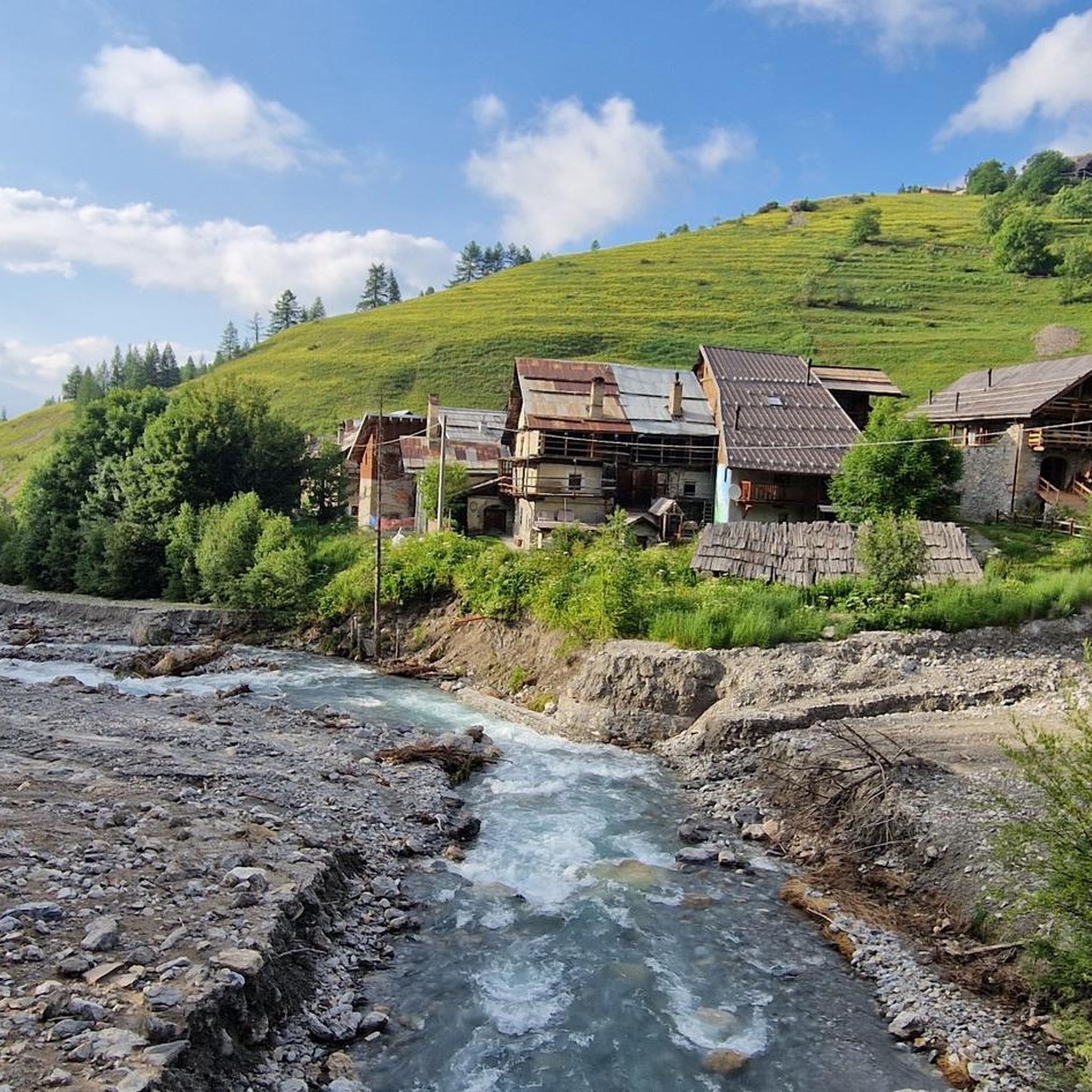
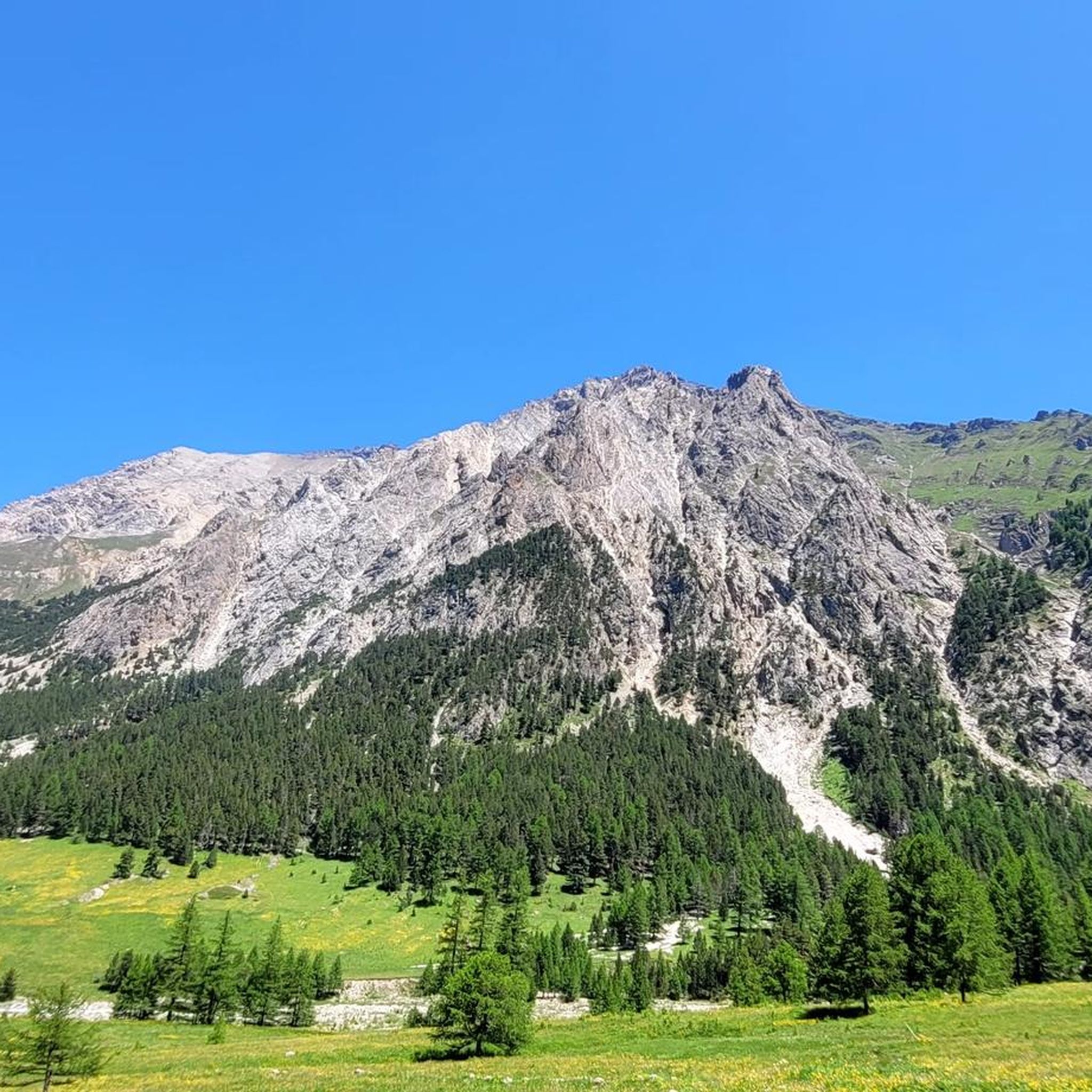
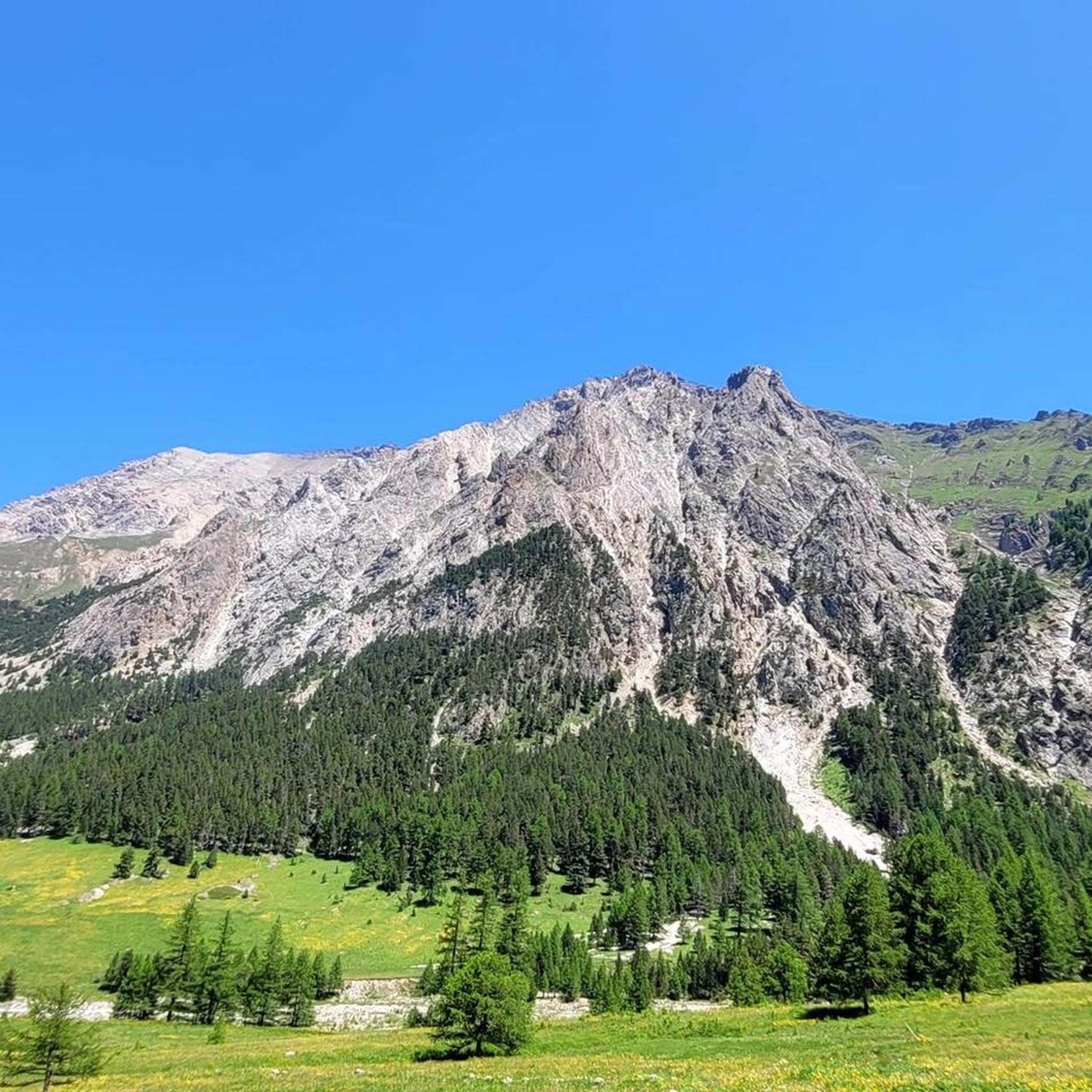
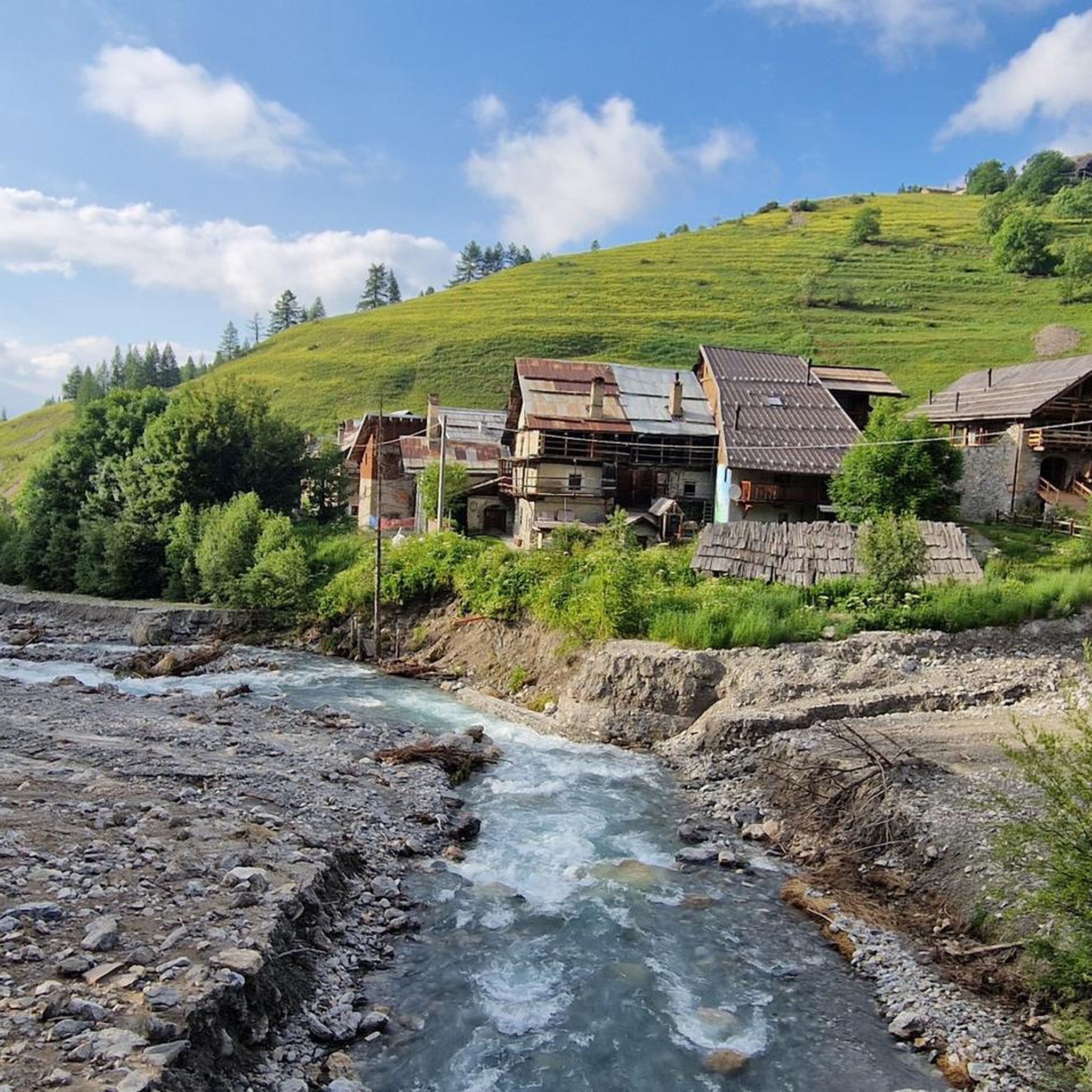
Road cycling routes in Valle Thuras traverse an alpine landscape characterized by a U-shaped valley with steep slopes and a wide floor. The region features towering peaks, extensive alpine pastures, and pine forests, offering varied terrain for cyclists. Geological formations, including basaltic flows and ancient coral reefs, contribute to the unique environment. Routes often follow roads connecting hamlets, providing continuous immersion in the natural surroundings.
Best road cycling routes in Valle Thuras
- The most popular road cycling route is Ripa…
Last updated: October 18, 2026
10
riders
15.3km
00:44
210m
210m
Easy road ride. Great for any fitness level. Mostly well-paved surfaces and easy to ride.
8
riders
13.6km
00:59
490m
490m
Moderate road ride. Good fitness required. Some segments of this route may be unpaved and difficult to ride.

218
riders
30.7km
01:57
900m
910m
Hard road ride. Very good fitness required. Mostly well-paved surfaces and easy to ride.
4.7
(14)
1,696
riders
93.8km
05:57
2,530m
2,530m
Hard road ride. Very good fitness required. Some segments of this route may be unpaved and difficult to ride.
4.6
(7)
292
riders
92.4km
04:48
1,650m
1,650m
Hard road ride. Very good fitness required. Some segments of this route may be unpaved and difficult to ride.
Get access to more routes and recommendations from other explorers.
Already have an account?
Our route recommendations are based on thousands of hikes, rides, and runs completed by other people on komoot.
Start today with a free account
Your next adventure awaits.


Tips from the Community

Panoramic viewpoint over Perosa Argentina, next to the church of San Genesio. The view of the town is beautiful, and especially of the surrounding valleys and mountains.
0
0


starting point for various Alpine tours
0
0

To reach the bench, you have to walk along a path for the last stretch, leaving your bike near the road, which actually continues for a bit, but as I climbed, I didn't get the impression that it reached the bench.
0
0

A beautiful climb to the famous Piedmontese ski resort; never prohibitive but moderately long.
4
0


Although the flag parade seen in some of the photos (which various users have uploaded to the highlight) could theoretically fit into a memorial for the victims of the two world wars – who came from many different nationalities – they do not belong in any context with the “Monumento ai caduti”.
0
0

A beautiful stretch that allows you to reach the Argentera Valley more easily, or with more effort Cima del Bosco
1
0
Frequently Asked Questions
How many road cycling routes are available in Valle Thuras?
Valle Thuras offers a selection of 16 road cycling routes. These routes cater to various skill levels, including 2 easy, 7 moderate, and 7 difficult options, ensuring a suitable ride for most cyclists.
What kind of terrain can I expect on road cycling routes in Valle Thuras?
Road cycling in Valle Thuras features a dramatic alpine landscape with a U-shaped valley, steep slopes, and a wide floor. You'll encounter significant elevation changes, with routes often following ancient mule tracks and roads connecting charming hamlets. The terrain can be challenging, with some routes featuring tight hairpin bends and substantial climbs, offering continuous immersion in the natural beauty of the valley.
Are there road cycling routes suitable for beginners in Valle Thuras?
Yes, Valle Thuras has road cycling routes suitable for beginners. For an easier ride, consider the Ripa Bridge – Cesana Torinese loop from Sauze di Cesana. This 9.5-mile (15.3 km) route is classified as easy and takes approximately 44 minutes to complete, offering pleasant views around Cesana Torinese.
What natural features or landmarks can I see along the road cycling routes?
As you cycle through Valle Thuras, you'll be surrounded by towering peaks over three thousand meters, extensive alpine pastures, and pine forests. Keep an eye out for unique geological formations, including basaltic flows and ancient coral reefs, particularly in the Chenaillet massif. Near Rhuilles, you can observe fascinating ferruginous springs with their distinctive red precipitates. Panoramic views of the Pelvoux mountain range and Monte Chaberton are also common.
Are there challenging road cycling routes for experienced cyclists?
Absolutely. Experienced cyclists will find several challenging routes in Valle Thuras. A notable difficult option is the Arch of Augustus in Susa – Pian dell'Alpe loop from Sestriere, a 58.3-mile (93.8 km) trail with significant elevation gain, typically completed in about 6 hours. Another demanding route is the Fort of Fenestrelle – View of Perosa Argentina loop from Sestriere, covering 51 miles (82 km) with over 1500 meters of ascent.
What do other road cyclists say about the routes in Valle Thuras?
The road cycling routes in Valle Thuras are highly regarded by the komoot community, holding an average rating of 4.5 stars from over 20 reviews. Cyclists often praise the breathtaking landscapes, unique peaks, and the varied terrain that offers both scenic beauty and challenging climbs.
What is the best time of year for road cycling in Valle Thuras?
Given its alpine nature, the best time for road cycling in Valle Thuras is typically during the warmer months, from late spring through early autumn (May to October). During this period, mountain passes are generally clear of snow, and the weather is more favorable for cycling, allowing full enjoyment of the scenic routes and high-altitude sections.
Are there any historical points of interest accessible by road bike?
Yes, the region has historical significance. Many routes utilize ex-military roads, hinting at the area's past. You can explore hamlets like Bousson, which features interesting local stone architecture in its church and the Casa delle Lapidi. The Arch of Augustus in Susa – Pian dell'Alpe loop from Sestriere connects historical points with high-altitude sections, offering a blend of history and natural beauty.
Are there any circular road cycling routes in Valle Thuras?
Yes, many of the road cycling routes in Valle Thuras are designed as loops, allowing you to start and finish in the same location. Examples include the Ripa Bridge – Cesana Torinese loop from Sauze di Cesana and the Sestriere Town Center – Poggio Capret loop from Sestriere, providing convenient options for exploring the area.
Is public transport available to access road cycling routes in Valle Thuras?
While specific public transport links directly to all route starting points may vary, the Valle Thuras region is part of Piedmont, Italy. Major towns like Cesana Torinese and Sestriere, which serve as starting points for several routes, are generally accessible by regional bus services. It's advisable to check local transport schedules for the most up-to-date information on connections to specific hamlets or trailheads.
Where can I find parking for road cycling in Valle Thuras?
Parking is generally available in the main villages and hamlets that serve as starting points for road cycling routes. For instance, areas around Cesana Torinese and Sestriere, where many routes begin, offer parking facilities. Smaller hamlets like Rhuilles and Bousson may have limited parking, so it's recommended to plan your starting point accordingly.
Are there family-friendly road cycling options in Valle Thuras?
For families or those seeking a less strenuous ride, the easier routes in Valle Thuras are a good starting point. The Ripa Bridge – Cesana Torinese loop from Sauze di Cesana is an easy 9.5-mile route that offers a gentle introduction to the region's beauty without excessive climbs, making it suitable for a family outing.
Can I find amenities like cafes or accommodation along the routes?
Yes, you can find amenities in the hamlets and villages scattered throughout Valle Thuras. Places like Rhuilles, known for its renovated chalets, and Bousson, offer local charm and potential stops for refreshments or accommodation. Larger towns like Cesana Torinese and Sestriere, often starting points for routes, provide a wider range of cafes, restaurants, and lodging options.
Most popular routes in Valle Thuras

Get inspired with the komoot mobile app


Explore more
Browse the best Road cycling routes in other regions.
