The best cycling routes in Valle Thuras
4.8
(108)
7,269
riders
82
rides
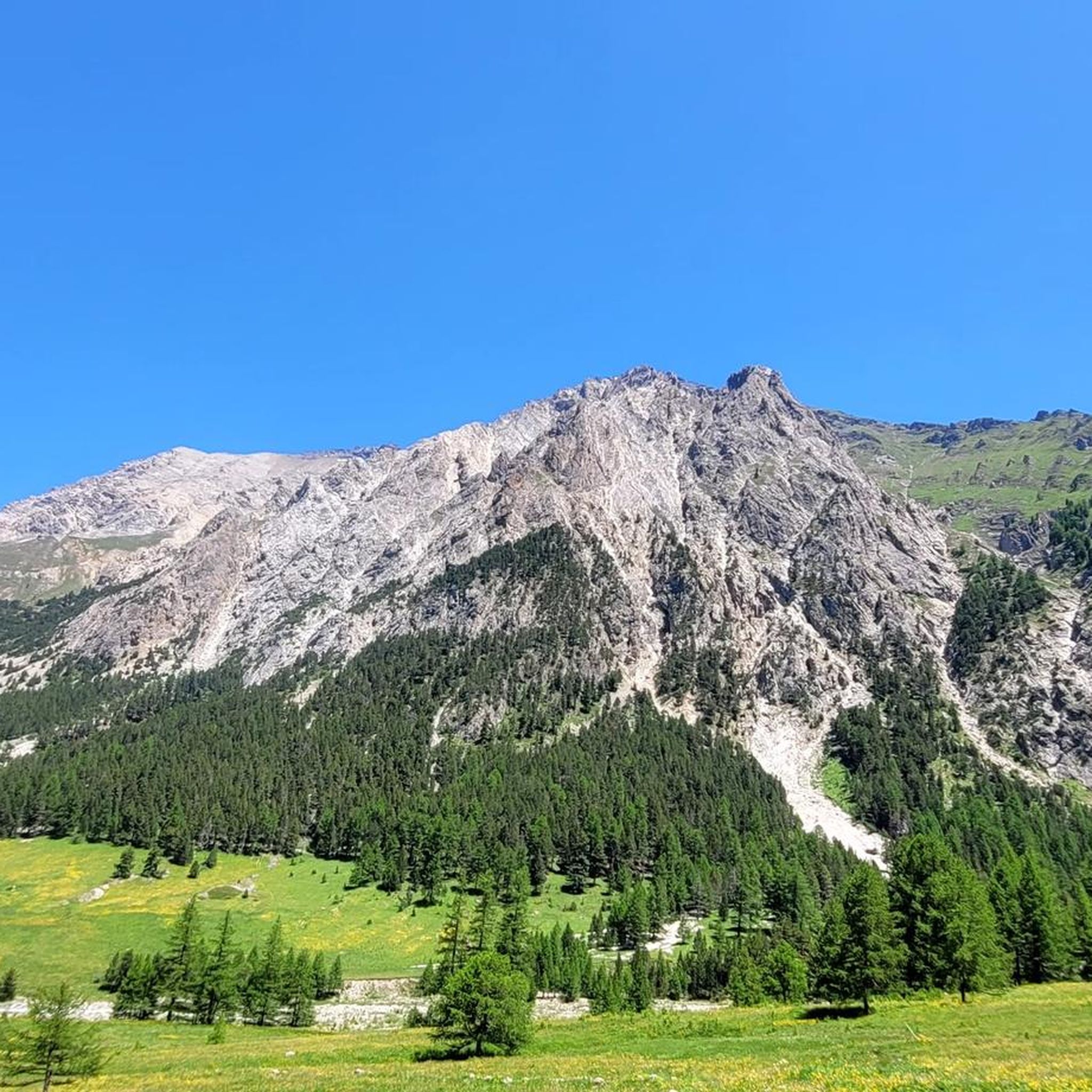
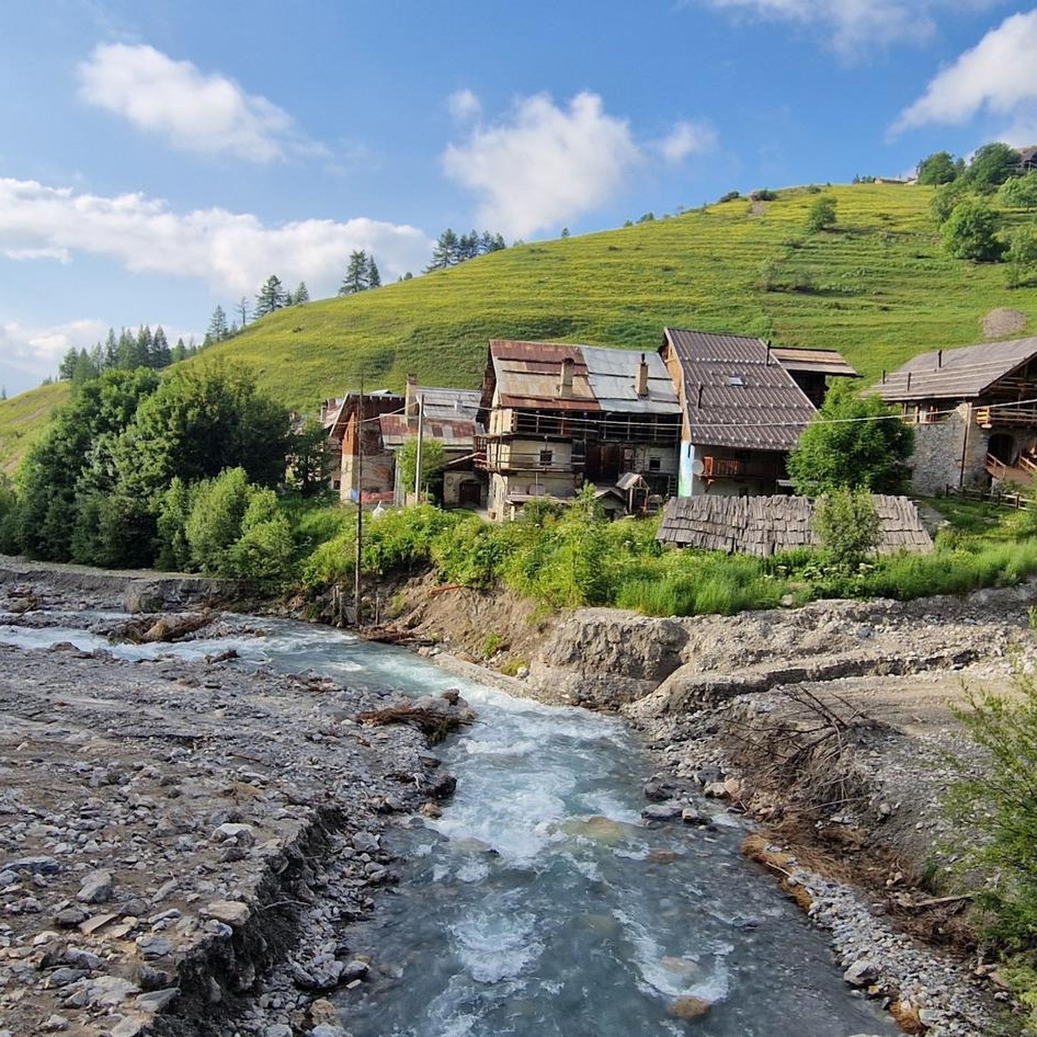
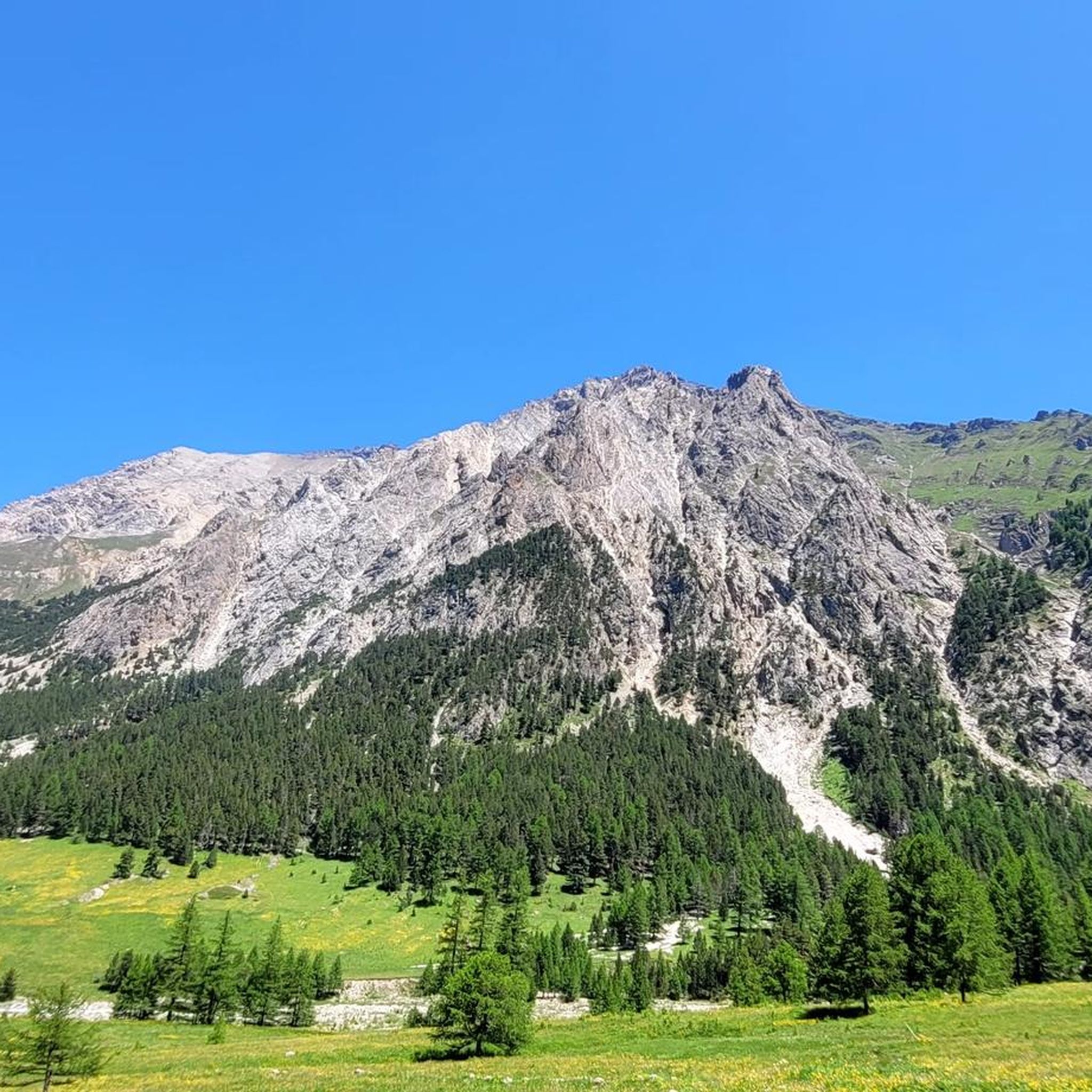
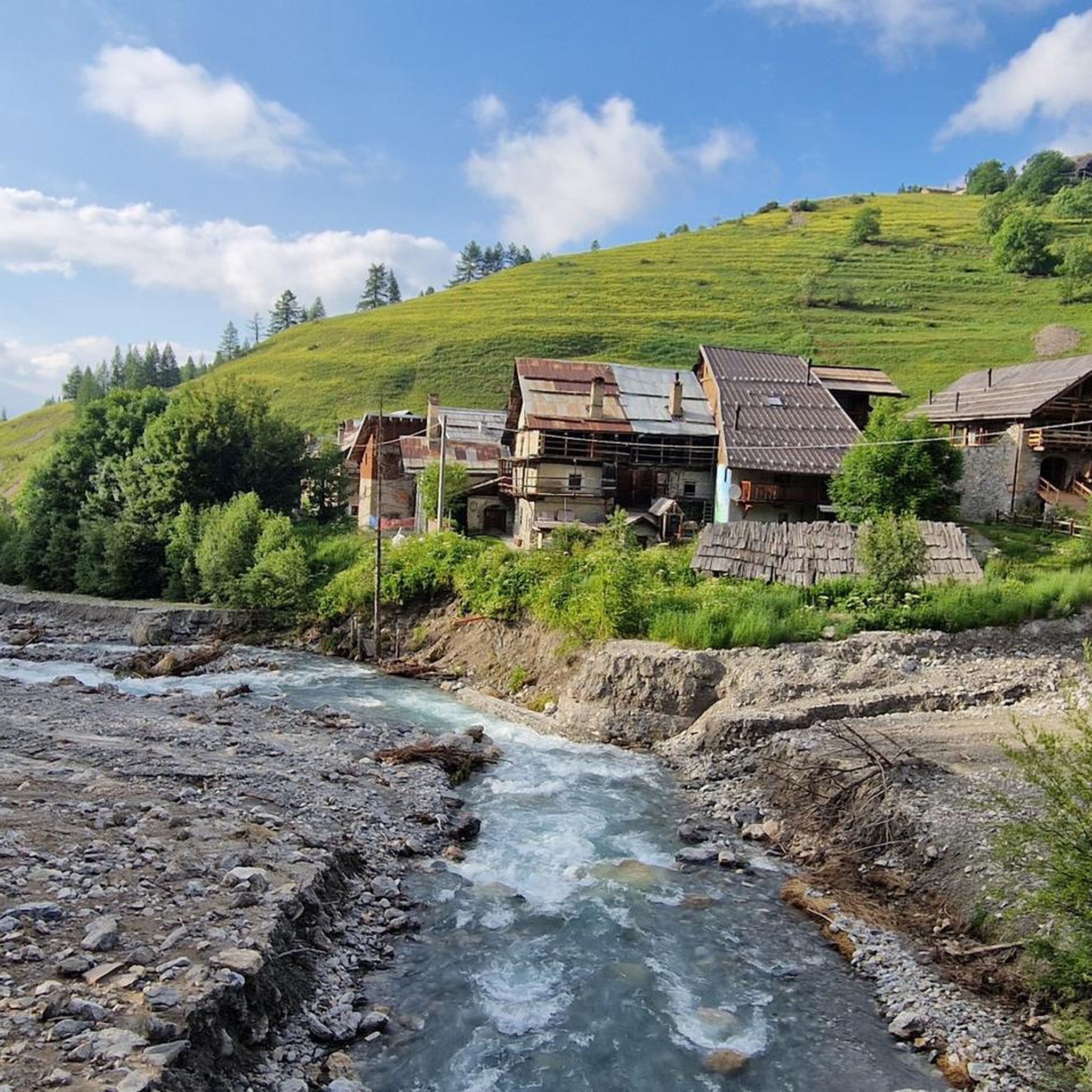
Touring cycling in Valle Thuras offers diverse landscapes for riders, characterized by high-altitude routes through forests and open meadows. The region features a unique geological park with ancient rock formations and river valleys, such as the Ripa River. Many routes utilize former military roads, providing varied terrain from gentle valley loops to challenging mountain ascents. This area provides a blend of natural environments suitable for different cycling experiences.
Best touring cycling routes in Valle Thuras
- The most popular touring cycling…
Last updated: August 25, 2026
38
riders
19.0km
02:22
810m
810m
Hard bike ride. Very good fitness required. Mostly paved surfaces. Suitable for all skill levels.
5.0
(6)
357
riders
50.3km
03:50
1,300m
1,300m
Hard bike ride. Very good fitness required. Mostly paved surfaces. Suitable for all skill levels.

Sign up for free
134
riders
21.8km
01:44
630m
630m
Hard bike ride. Very good fitness required. Mostly paved surfaces. Suitable for all skill levels.
5.0
(2)
134
riders
25.7km
02:50
930m
930m
Hard bike ride. Very good fitness required. Mostly paved surfaces. Suitable for all skill levels.
4.3
(3)
89
riders
37.4km
04:05
1,130m
1,130m
Hard bike ride. Very good fitness required. Mostly paved surfaces. Suitable for all skill levels.
Get access to more routes and recommendations from other explorers.
Sign up for free
Already have an account?
Our route recommendations are based on thousands of hikes, rides, and runs completed by other people on komoot.
Start today with a free account
Your next adventure awaits.
Login or Signup


Tips from the Community

Returning from Susa-Susa (direction Monginevro-Cesana) on 07/26/2004, we found ourselves, as we knew, in front of the tunnel forbidden to bicycles and with the entrance to the old road that crosses the avalanche protection tunnels closed by a municipal ordinance. Passage prohibited for pedestrians and cyclists for safety reasons. Given the late hour, the many km already covered, and the open barrier, probably forced by some other cyclist who found themselves in a similar situation, we passed anyway. Unfortunately, however, the situation is this, meaning you shouldn't pass by bike. As of today, I recommend that those arriving from Briancon take the detour to the Colle della Scala (direction Nevache) and descend to Bardonecchia.
1
0

And the Vauban fortress. It is not a castle
0
0

Although the flag parade seen in some of the photos (which various users have uploaded to the highlight) could theoretically fit into a memorial for the victims of the two world wars – who came from many different nationalities – they do not belong in any context with the “Monumento ai caduti”.
0
0

It's the first thing you notice, even from afar, when you arrive at Monginevro
0
1
A beautiful stretch that allows you to reach the Argentera Valley more easily, or with more effort Cima del Bosco
1
0

A section of the SP24 road closed to motorized traffic after the opening of the new tunnel just before Cesana, and now reserved for cyclists and hikers. Ideally divided into two sections: the lower section, almost entirely within a man-made avalanche tunnel, features large windows along the valley side that provide sufficient natural light for safe travel; the upper section, almost vertically overlooking the valley below, offers breathtaking views. This is a mandatory route, as the new road tunnel is off-limits to bicycles, but since you have to pass through it, it's worth enjoying it thoroughly.
0
0
Whether Europe is united or not, crossing a border always has a special feeling.
0
0
Entrance to the village of Monginevro from the Italian side. Note the Napoleonic obelisk and a statue of three soldiers supporting a ski-jumping officer (surreal).
0
0
Frequently Asked Questions
How many touring cycling routes are available in Valle Thuras?
Valle Thuras offers a wide selection of touring cycling routes, with over 70 options available on komoot. These routes cater to various skill levels, from easy valley loops to challenging mountain ascents.
Are there easy or family-friendly touring cycling routes in Valle Thuras?
Yes, Valle Thuras has options suitable for families and beginners. A gentle loop between Cesana T.se and Sauze di Cesana along the Ripa River is ideal for an easy ride with minimal elevation change. Another simple route on dirt roads through woods and meadows is the Cesana-Sauze bicycle path loop from Sauze di Cesana, though it is rated difficult due to its length.
What kind of landscapes and natural features can I expect to see while cycling in Valle Thuras?
Cyclists in Valle Thuras will experience diverse landscapes, including high-altitude forests, open meadows, and river valleys like the Ripa River. The region is part of a unique geological park, showcasing ancient rock formations and offering impressive panoramas of Monte Chaberton, the Queyras, and even Monviso from higher points like Colle di Thuras. You can also observe fascinating ferruginous springs near Rhuilles.
Are there any circular touring cycling routes in Valle Thuras?
Yes, many routes in Valle Thuras are designed as loops, allowing you to start and end in the same location. Examples include the popular Forest Peak – Ascent to Cima del Bosco loop from Sauze di Cesana and the Lago Nero di Bousson – Capanna Mautino Mountain Hut loop from Sauze di Cesana.
What is the best time of year for touring cycling in Valle Thuras?
Given the region's high-altitude routes, the best time for touring cycling in Valle Thuras is typically from late spring through early autumn (May to October). During these months, the weather is generally more stable, and mountain passes are clear of snow, allowing access to the full network of trails.
What do other touring cyclists enjoy most about cycling in Valle Thuras?
The komoot community highly rates touring cycling in Valle Thuras, with an average score of 4.7 stars from over 60 reviews. Cyclists often praise the wild and unspoiled natural beauty, the challenging ascents through forests, and the rewarding panoramic views from high points. The blend of historical military roads and diverse terrain also adds to the unique experience.
Are there any specific points of interest or landmarks along the touring cycling routes?
Yes, Valle Thuras offers several interesting sights. Near Rhuilles, you can observe unique ferruginous springs. Many routes utilize former military roads, where you might encounter remains of military buildings and votive pillars, offering a glimpse into the area's history. The region's geological park itself is a significant point of interest, with unique rock formations.
Can I find challenging routes for experienced touring cyclists in Valle Thuras?
Absolutely. Valle Thuras is known for its challenging routes, with over 50 classified as difficult. These often involve significant elevation gain and high-altitude riding through rugged terrain. Routes like the Monte Fraiteve – Sestriere loop from Champlas Seguin offer substantial climbs and rewarding views.
Are there routes that lead to mountain huts or bivouacs in Valle Thuras?
Yes, some routes provide access to mountain shelters. An interesting medium-difficulty route from Cesana T.se leads to the wild Val Thuras and the Andrea Tornior bivouac, which is always open and well-maintained. From there, you can extend your ride to the Colle di Thuras for expansive views.
What kind of terrain can I expect on the touring cycling routes?
The terrain in Valle Thuras is varied. You'll find dirt roads, gravel paths, and some paved sections, often utilizing former military roads. Routes can range from gentle, flat loops along river valleys to steep, winding ascents through forests and open meadows, characteristic of high-altitude Alpine environments.
Are there any routes that offer historical insights into the region?
Many touring cycling routes in Valle Thuras follow former military roads, providing a historical context to your ride. For example, the Thures-Rhuilles Military Road, a gravel bike route, passes by the ferruginous springs and reveals remains of military buildings and votive pillars, offering insights into the area's past.
Where can I find more information about the geological significance of Valle Thuras?
Valle Thuras is part of an exceptional geological park, known as the 'Mountains born from the Sea.' This area, including the Chenaillet massif, Monti della Luna, and Monte Chaberton, features unique rocks and fossils, such as basaltic flows and 200-million-year-old coral reefs. For more historical context on the region's mountain routes, you might find information on sites like Visit Piemonte.
Most popular routes in Valle Thuras

Get inspired with the komoot mobile app


Explore more
Browse the best Cycling routes in other regions.
