The best running trails in Kladdinger Wiesen
4.4
(1369)
38,391
runners
995
runs
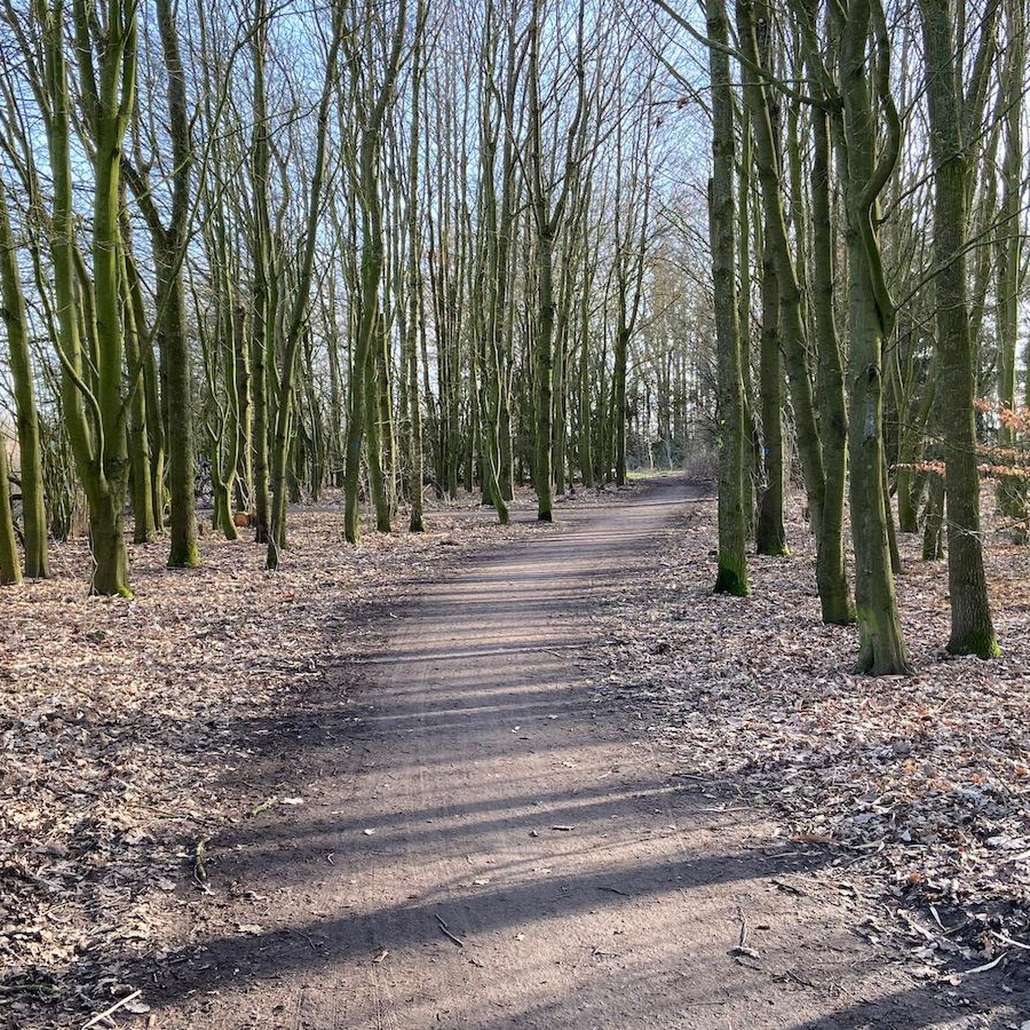
Jogging in Kladdinger Wiesen offers an excellent setting within a 390-hectare nature reserve, characterized by expansive agricultural grasslands and open vistas. The region features the Ochtum river along its northern border and the Stuhrgraben stream to the east, both with marshy and natural bank areas. The terrain is predominantly flat with minimal elevation changes, providing accessible running routes for various fitness levels.
Best jogging routes in Kladdinger Wiesen
- The most popular jogging route is View of the River in Bremen…
Last updated: October 11, 2026
4.8
(6)
42
runners
Moderate run. Good fitness required. Mostly paved surfaces. Suitable for all skill levels.
31
runners
Moderate run. Good fitness required. Mostly paved surfaces. Suitable for all skill levels.

13
runners
16.7km
01:44
20m
20m
Hard run. Very good fitness required. Mostly paved surfaces. Suitable for all skill levels.
13
runners
9.26km
00:58
10m
10m
Moderate run. Good fitness required. Mostly paved surfaces. Suitable for all skill levels.
10
runners
10.8km
01:07
20m
20m
Moderate run. Good fitness required. Mostly paved surfaces. Suitable for all skill levels.
Get access to more routes and recommendations from other explorers.
Already have an account?
Our route recommendations are based on thousands of hikes, rides, and runs completed by other people on komoot.
Start today with a free account
Your next adventure awaits.
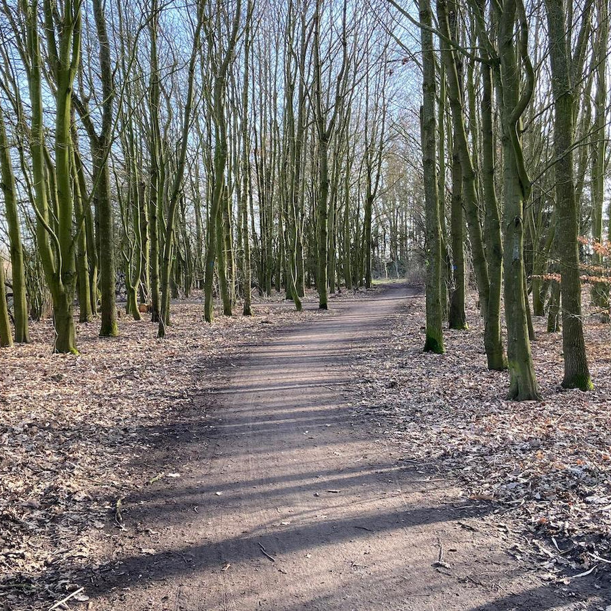
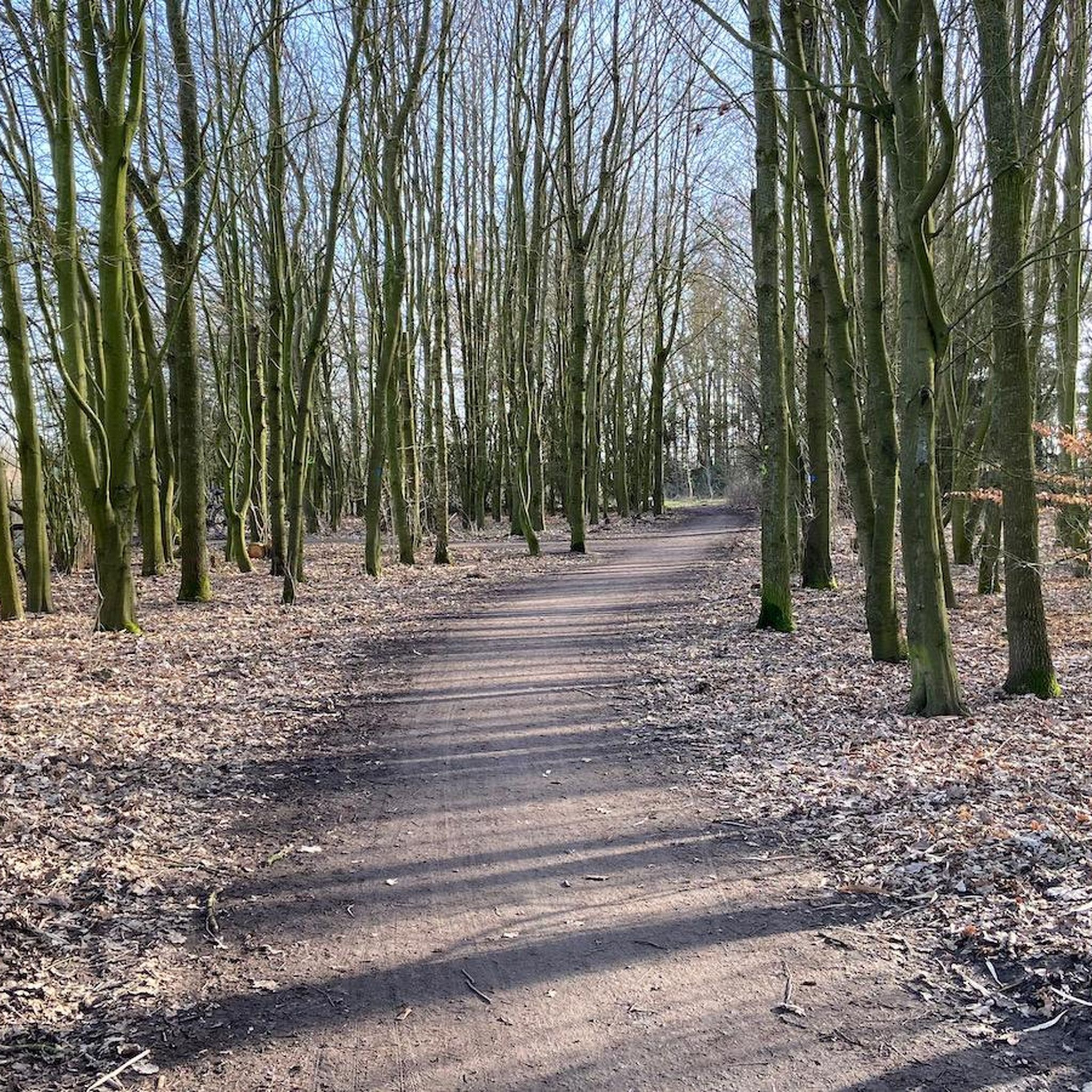
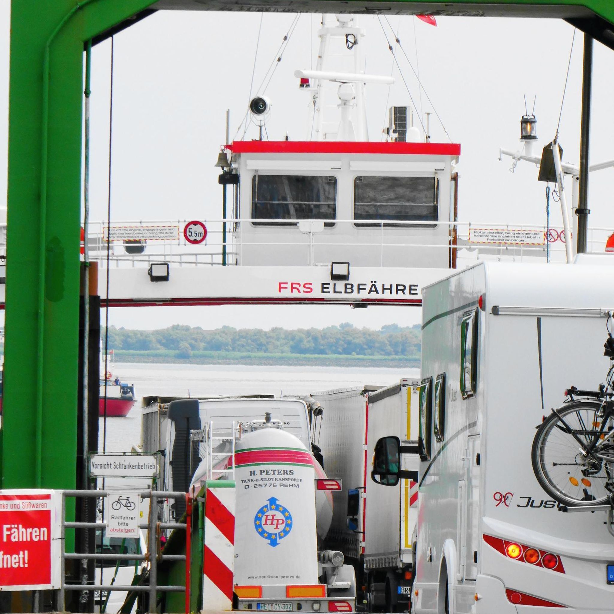
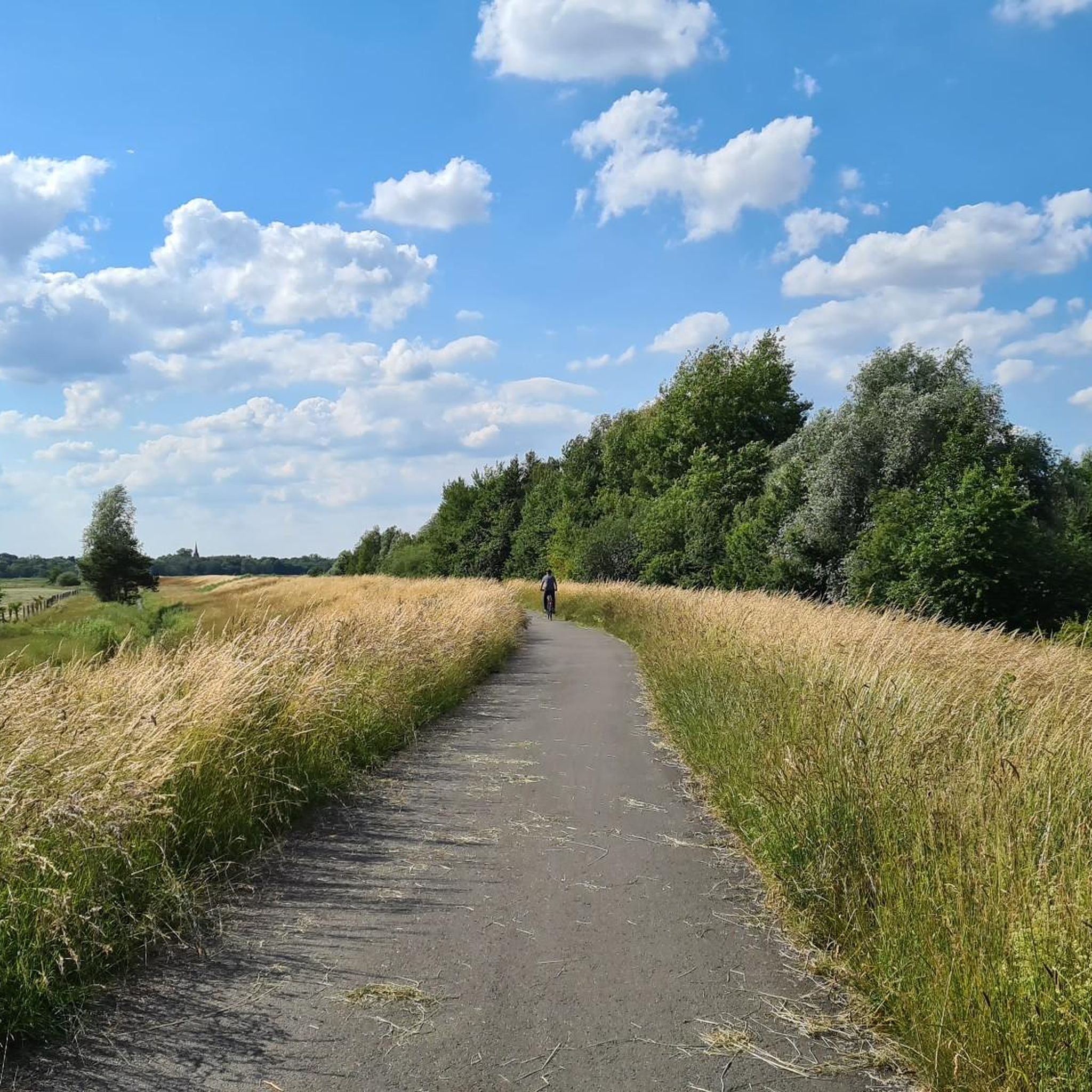
Tips from the Community

Beautiful route in the park Links der Weser early in the morning, not too crowded when most people are still having breakfast...
1
0

Currently being rebuilt! Most of the paths are already open to traffic again.
0
0

A little information from the internet: Lufthansa Flight 005 on January 28, 1966, was a scheduled Lufthansa flight from Frankfurt to Hamburg with a stopover in Bremen. During a go-around maneuver, the twin-engine propeller plane crashed from a low altitude onto a field belonging to the municipality of Stuhr shortly before 7 p.m., just off the runway at Bremen Airport.[1] All 42 passengers and four crew members were killed in the crash.
1
0

Connecting path from Grolland to Neustadt, airport, city center
0
0

Relax by the water? You can do that here.
0
0

Always great views of the planes taking off and landing
2
0

Always interesting to see who comes and goes.
2
0

Here you can watch the planes take off and land
1
0
Frequently Asked Questions
How many running routes are available in Kladdinger Wiesen?
Kladdinger Wiesen offers a vast network of nearly 1000 running routes. This includes a wide variety of options, with over 130 easy routes, nearly 700 moderate routes, and more than 100 challenging trails, catering to all fitness levels.
What kind of terrain can I expect when jogging in Kladdinger Wiesen?
The terrain in Kladdinger Wiesen is predominantly flat, characterized by expansive agricultural grasslands and open vistas. You'll find mostly paved surfaces, making for a smooth running experience. The routes often follow the Ochtum river and Stuhrgraben stream, offering scenic views along marshy and natural bank areas.
Are there running routes suitable for beginners or those looking for an easy run?
Yes, Kladdinger Wiesen has plenty of options for beginners and those seeking an easy run. There are over 130 easy routes available. For example, the Alma Rogge Memorial Stone loop from Kuhlen is an easy 3.1 km path, perfect for a relaxed jog.
What do other runners say about the trails in Kladdinger Wiesen?
The running trails in Kladdinger Wiesen are highly regarded by the komoot community, with an average rating of 4.4 out of 5 stars from over 1,100 reviews. Runners frequently praise the peaceful, unspoiled natural beauty and the diverse environment along the rivers and streams.
Are the running trails in Kladdinger Wiesen suitable for families?
Yes, many of the routes in Kladdinger Wiesen are suitable for families, especially the easier, flatter paths. The expansive green spaces and minimal elevation changes make it a pleasant environment for a family outing. Consider routes like the Ducks by the River in Bremen loop from Kirchhuchting, which is an easy 2.9 km path.
Can I bring my dog on the jogging routes in Kladdinger Wiesen?
Kladdinger Wiesen is a nature reserve, so while dogs are generally welcome, it's important to keep them on a leash to protect the local wildlife, especially breeding and migratory birds. Always follow local regulations and be mindful of other visitors and the natural environment.
Are there any circular running routes in Kladdinger Wiesen?
Yes, many of the running routes in Kladdinger Wiesen are circular, offering convenient starting and ending points. An example is the Alma Rogge Memorial Stone – View of the River in Bremen loop from Stuhr, a moderate 11.5 km trail that brings you back to your starting point.
What natural features or viewpoints can I see while running in Kladdinger Wiesen?
Kladdinger Wiesen is known for its unspoiled natural beauty. You'll experience expansive green spaces, the Ochtum river along the northern border, and the Stuhrgraben stream to the east. These waterways feature marshy and natural bank areas with high-growing vegetation, reeds, and woody plants, providing scenic views and opportunities for nature observation.
Is there parking available for visitors to Kladdinger Wiesen?
While specific parking lots within the immediate reserve are not detailed, visitors typically find parking in the surrounding municipalities like Stuhr or Kirchhuchting, which provide access points to the nature reserve's trails. It's advisable to check local signage for designated parking areas.
What is the best time of year to go running in Kladdinger Wiesen?
Kladdinger Wiesen offers a pleasant running experience throughout much of the year. Spring and autumn provide mild temperatures and beautiful natural scenery. Summer is also enjoyable, especially in the mornings or evenings. Winter runs can be refreshing, but be mindful of potential icy conditions on paths.
Are there any longer, more challenging running trails in the area?
For those seeking a longer and more challenging run, Kladdinger Wiesen does offer options. The Radar Tower at Bremen Airport – View of Bremen Airport loop from Stuhr is a difficult 16.6 km trail that leads through open landscapes, providing a good workout for experienced runners.
Can I reach Kladdinger Wiesen by public transport?
Kladdinger Wiesen is accessible from nearby towns like Stuhr, Brinkum, and Huchting, which are served by public transport. You may need to combine bus or tram services with a short walk to reach the trailheads within the nature reserve. Check local transport schedules for the best connections.
Are there any routes that pass by water bodies or lakes?
Yes, many routes in Kladdinger Wiesen feature water bodies. The reserve is bordered by the Ochtum river and includes the Stuhrgraben stream. Additionally, the Badestrand Silbersee loop from Stuhr is a moderate 8.5 km route that takes you past the Silbersee lake, offering a refreshing change of scenery.
Most popular routes in Kladdinger Wiesen
Most popular attractions in Kladdinger Wiesen

Get inspired with the komoot mobile app


Explore more
Browse the best Running Trails & Routes in other regions.
