The best walks and hikes in Kladdinger Wiesen
4.5
(4952)
30,128
hikers
1,399
hikes
Hiking in Kladdinger Wiesen is characterized by its distinctive landscape of grassland on marshland, an ecologically valuable environment. The terrain is predominantly flat and open, offering expansive views. The region features swampy and natural riverbanks along the Ochtum river and Stuhrgraben, which are vital for the local ecosystem. Hikers can encounter tall herb communities, extensive reed beds, and scattered wooded areas within these wetland environments.
Best hiking trails in Kladdinger Wiesen
- The most popular hiking route is Ochtum Bridge at…
Last updated: July 4, 2026
4.3
(16)
72
hikers
3.62km
00:55
10m
10m
Easy hike. Great for any fitness level. Easily-accessible paths. Suitable for all skill levels.
4.4
(8)
92
hikers
3.05km
00:46
0m
0m
Easy hike. Great for any fitness level. Easily-accessible paths. Suitable for all skill levels.

Sign up for free
4.3
(6)
17
hikers
11.3km
02:51
20m
20m
Moderate hike. Good fitness required. Easily-accessible paths. Suitable for all skill levels.
4.0
(1)
23
hikers
Easy hike. Great for any fitness level. Easily-accessible paths. Suitable for all skill levels.
3.0
(2)
16
hikers
11.5km
02:54
10m
10m
Moderate hike. Good fitness required. Easily-accessible paths. Suitable for all skill levels.
Get access to more routes and recommendations from other explorers.
Sign up for free
Already have an account?
Our route recommendations are based on thousands of hikes, rides, and runs completed by other people on komoot.
Start today with a free account
Your next adventure awaits.
Login or Signup
Tips from the Community

A little information from the internet: Lufthansa Flight 005 on January 28, 1966, was a scheduled Lufthansa flight from Frankfurt to Hamburg with a stopover in Bremen. During a go-around maneuver, the twin-engine propeller plane crashed from a low altitude onto a field belonging to the municipality of Stuhr shortly before 7 p.m., just off the runway at Bremen Airport.[1] All 42 passengers and four crew members were killed in the crash.
1
0

Connecting path from Grolland to Neustadt, airport, city center
0
0

Relax by the water? You can do that here.
0
0

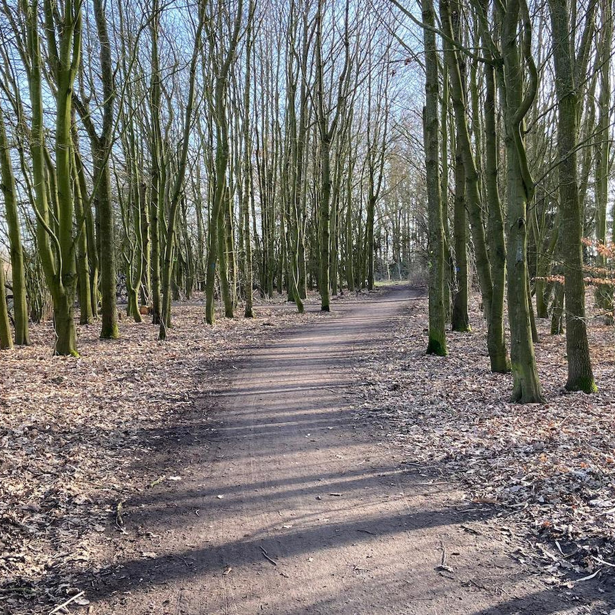
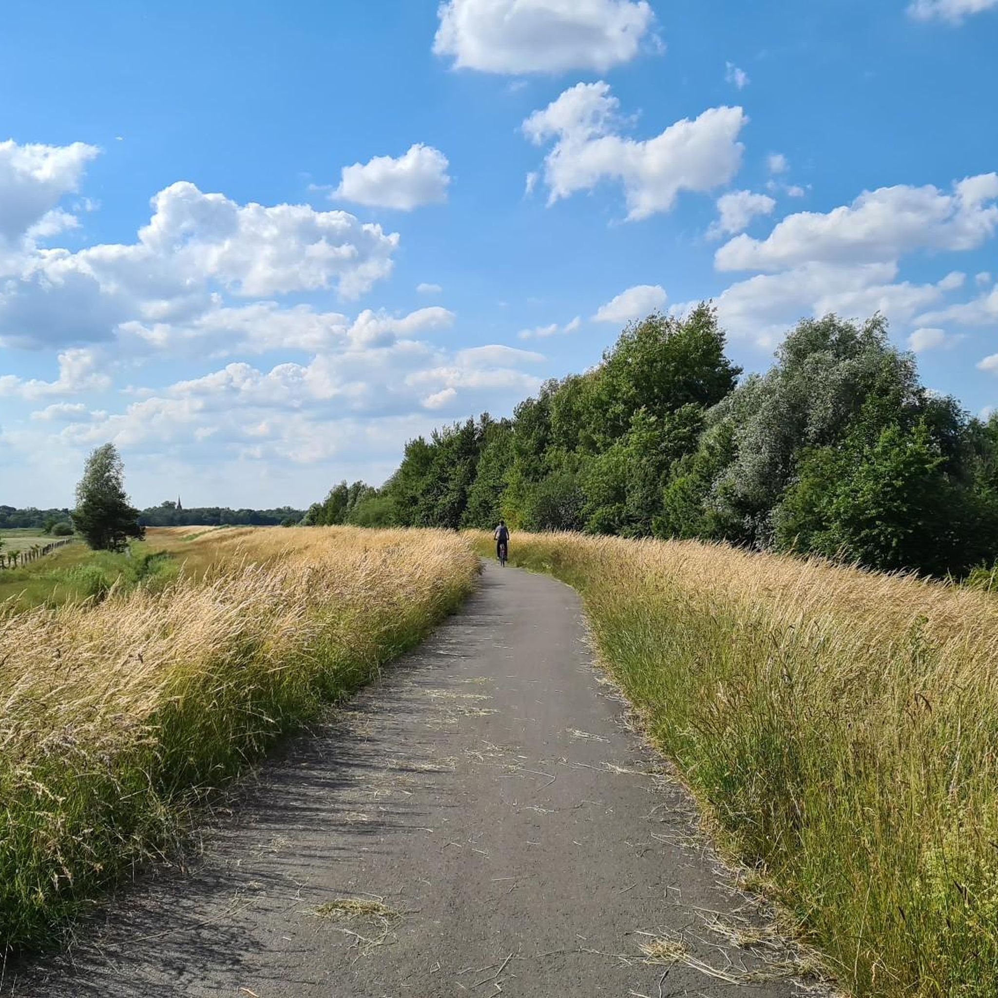
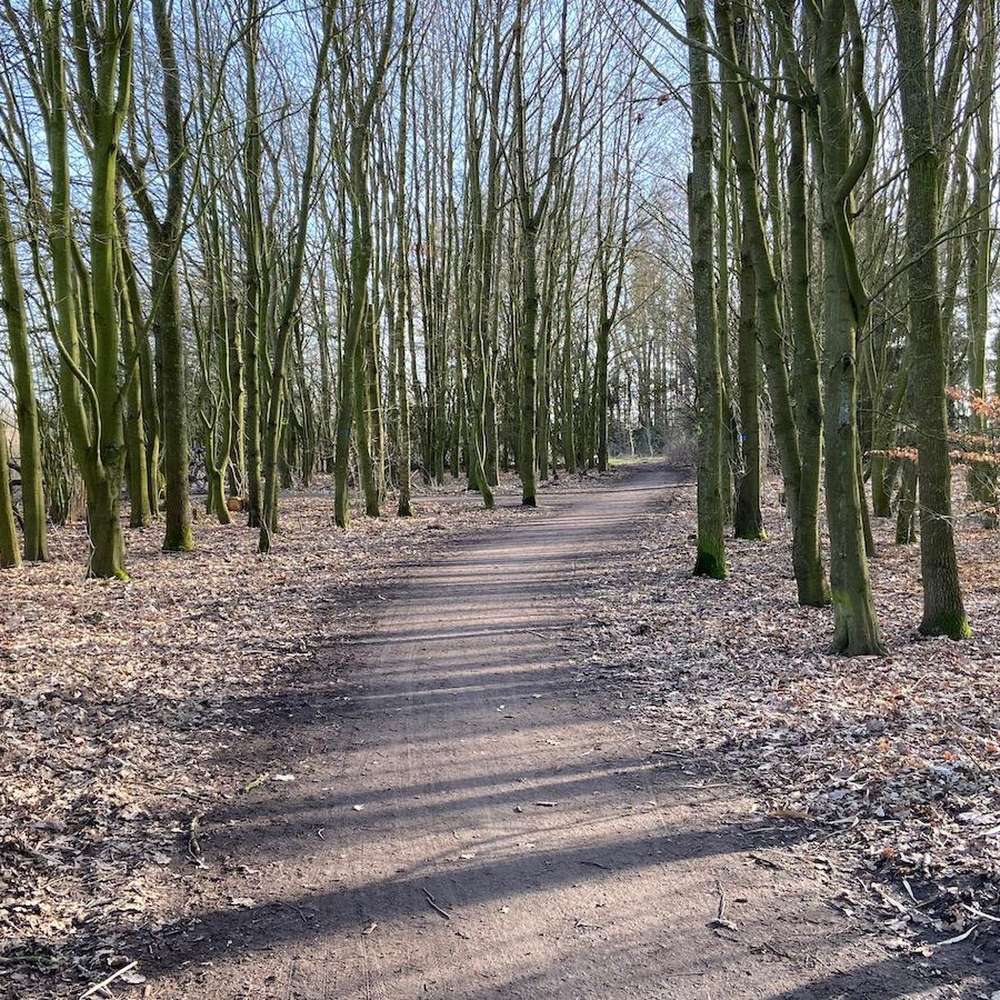
This excursion area close to the city is located directly at the airport, as an extension of the runway. Great cycle paths and not so good hiking trails lead through the Grollander Ochtum wetland.
0
0
Kirchhuchting appears in the distance
0
0

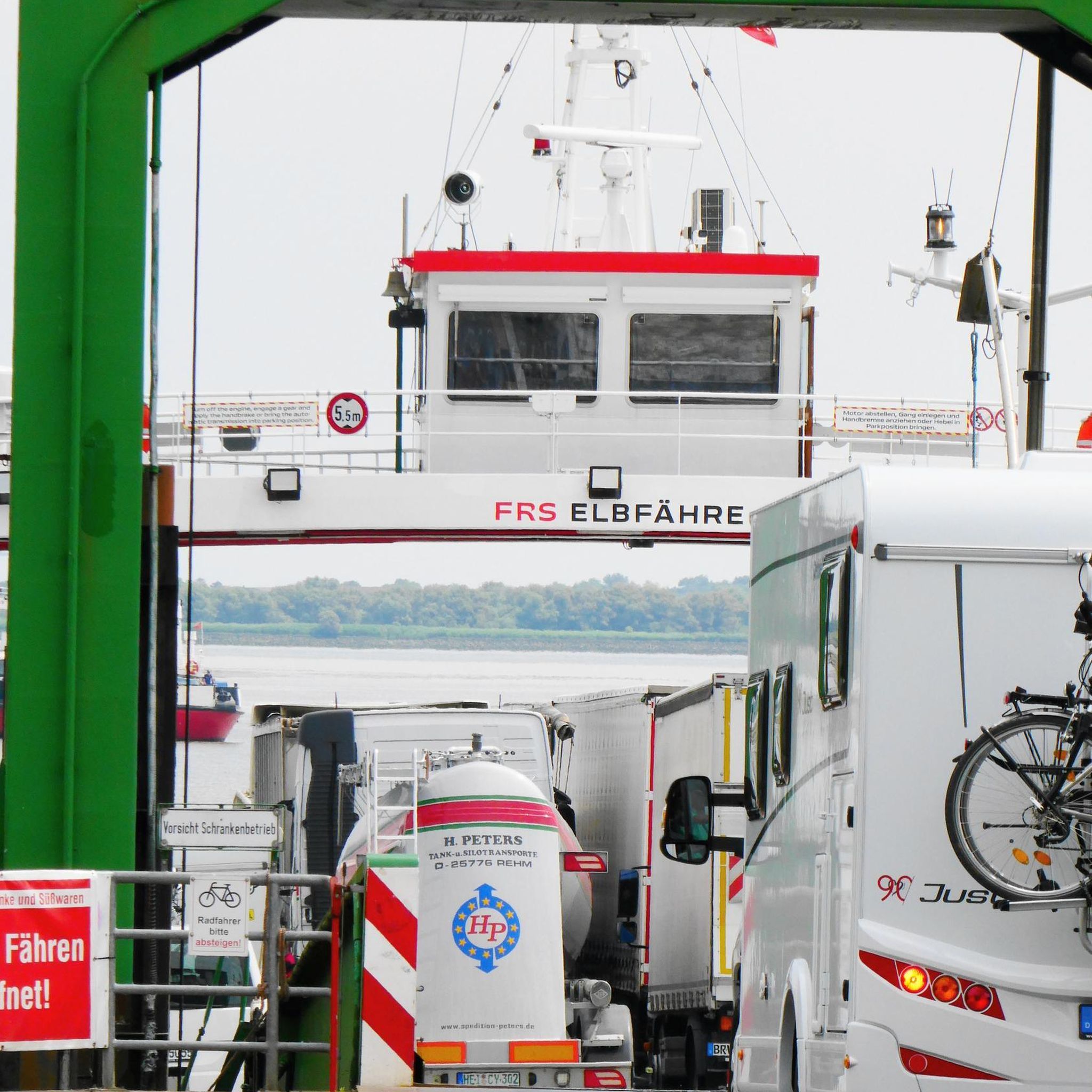
To put it briefly, it is simply beautiful. We continue on to Lemwerder and Vegesack.
0
0

Quiet spot in close proximity to the airport and city
0
0

Frequently Asked Questions
How many hiking trails are available in Kladdinger Wiesen?
Kladdinger Wiesen offers a wide variety of hiking experiences, with over 1,400 routes available. The majority of these, more than 1,100, are classified as easy, making the area very accessible for all skill levels.
What kind of terrain can I expect on hikes in Kladdinger Wiesen?
The terrain in Kladdinger Wiesen is predominantly flat and open, characterized by its unique landscape of grassland on marshland. You'll find expansive views, swampy and natural riverbanks along the Ochtum river and Stuhrgraben, as well as areas with tall herb communities, extensive reed beds, and scattered wooded sections.
Are there easy hiking trails suitable for beginners or casual walkers?
Yes, Kladdinger Wiesen is ideal for beginners and casual walkers. Over 1,100 of the available routes are rated as easy, featuring minimal elevation changes. A great option is the Bench by the Ochtum – Ochtum Bridge loop from Stuhr, an easy 1.9-mile (3.0 km) path offering pleasant views of the flat, open terrain.
Are there any circular hiking routes in Kladdinger Wiesen?
Many routes in Kladdinger Wiesen are circular, allowing you to start and end at the same point. For a slightly longer loop, consider the Ochtum Bridge – Park on the Left of the Weser loop from Huchting, which is 3.9 miles (6.3 km) and takes about 1 hour 35 minutes to complete.
Is Kladdinger Wiesen suitable for family-friendly hikes?
Absolutely. The flat and generally easy nature of the trails makes Kladdinger Wiesen very suitable for families with children. The open landscapes and opportunities for birdwatching can make for an engaging outdoor experience for all ages.
Can I bring my dog on the hiking trails in Kladdinger Wiesen?
Dogs are generally welcome on the trails in Kladdinger Wiesen. However, due to the sensitive natural environment and the presence of breeding and migratory birds, it is crucial to keep dogs leashed at all times to protect the local wildlife and ecosystems.
What is the best time of year to visit Kladdinger Wiesen for hiking?
Kladdinger Wiesen can be enjoyed year-round, but spring and autumn are particularly rewarding. These seasons offer comfortable temperatures for hiking and excellent opportunities for birdwatching, as the area is a significant habitat for both breeding and migratory birds.
Are there any specific natural features or viewpoints to look out for?
While there are no dramatic elevation changes, the unique natural features are the main attraction. Keep an eye out for the extensive reed beds (Röhrichte), tall herb communities (Hochstaudenfluren), and the meandering Ochtum river and Stuhrgraben. These wetland areas are vital for the local ecosystem and offer serene views, especially for birdwatchers.
Where can I find parking for the hiking trails in Kladdinger Wiesen?
Specific parking information varies by trailhead. Many routes, such as the Ochtum Bridge – Park on the Left of the Weser loop from Stuhr, often have designated parking areas nearby. It's advisable to check the individual route details on komoot for the most accurate parking information.
Is public transport available to reach Kladdinger Wiesen?
Yes, Kladdinger Wiesen is accessible via public transport, particularly from nearby urban centers like Bremen. Several bus lines serve the Stuhr area, providing connections close to various trailheads. Checking local bus schedules for routes connecting to Stuhr or specific entry points is recommended.
What do other hikers enjoy most about Kladdinger Wiesen?
The komoot community highly rates Kladdinger Wiesen, with an average score of 4.5 stars from over 4,500 reviews. Hikers frequently praise the peaceful, flat terrain, the expansive views across the marshland and grassland, and the excellent opportunities for nature observation, especially birdwatching.
Are there any longer hiking options for more experienced hikers?
While the area is generally flat, there are longer routes available for those seeking a more extended walk. For example, the Ochtum Bridge – Park on the Left of the Weser loop from Stuhr is a moderate 7.0-mile (11.3 km) trail that takes approximately 2 hours 50 minutes, offering a good option for a longer excursion.
Most popular routes in Kladdinger Wiesen

Get inspired with the komoot mobile app


Explore more
Browse the best Hikes in other regions.
