The best cycling routes in Kladdinger Wiesen
4.4
(15294)
79,324
riders
1,708
rides
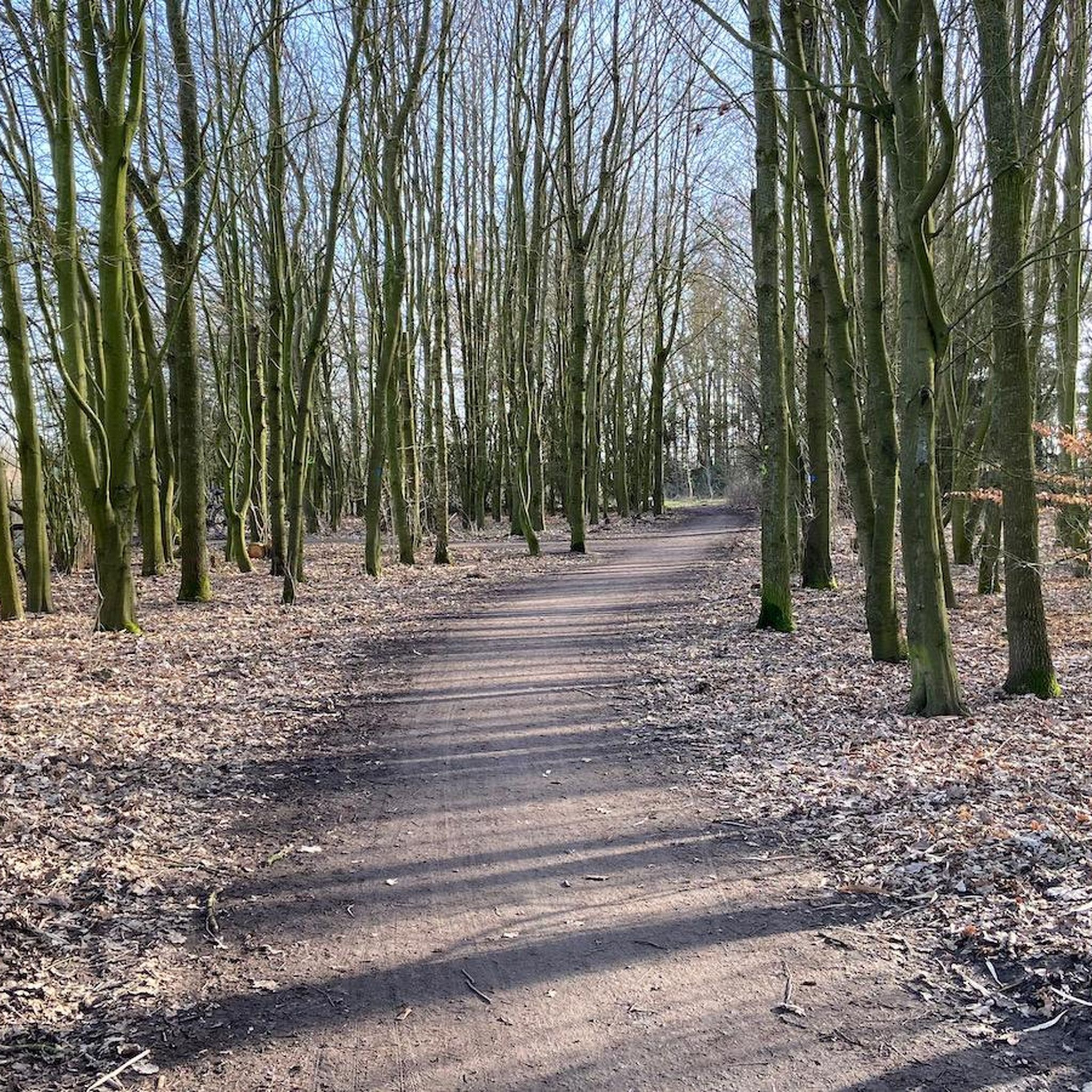
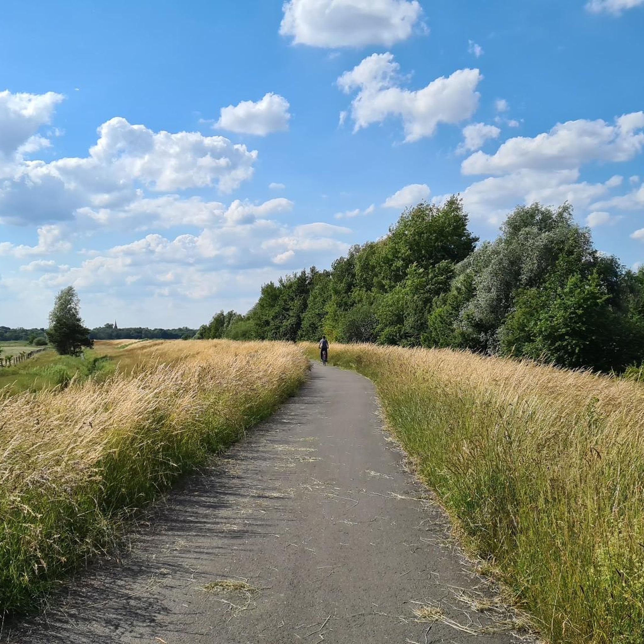
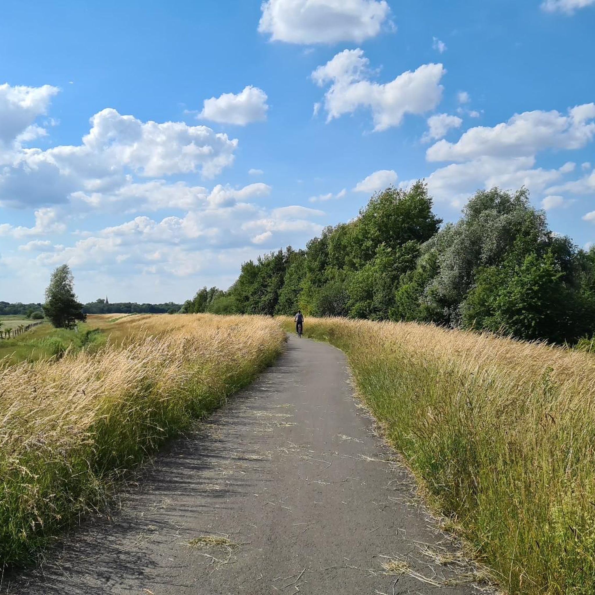
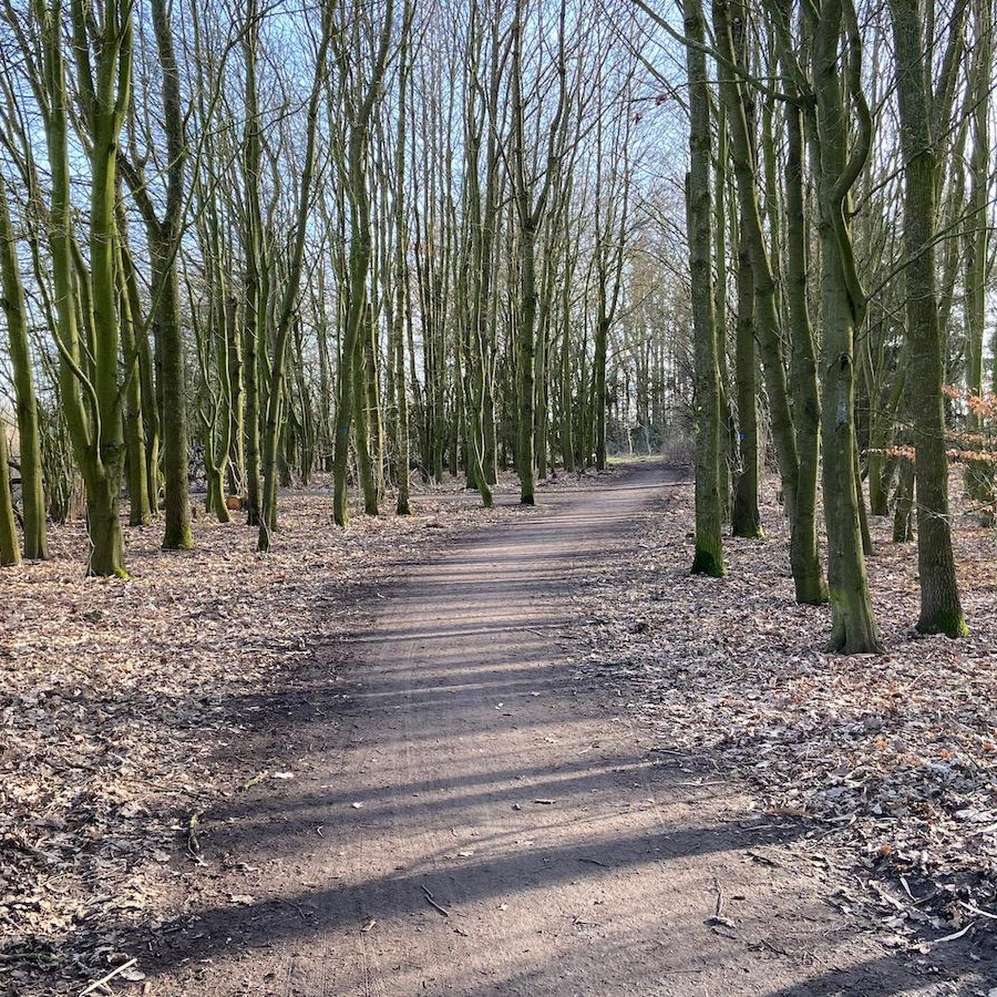
Touring cycling in Kladdinger Wiesen features a flat, expansive landscape primarily composed of agricultural grassland, interspersed with natural elements such as tall herbaceous vegetation, reeds, and woodlands. The region is bordered by the Ochtum river to the north and includes the Stuhrgraben to the east, both presenting partially marshy bank areas. This terrain, situated on marshland, offers easily navigable paths suitable for various fitness levels.
Best touring cycling routes in Kladdinger Wiesen
- The most popular touring cycling route is Park…
Last updated: October 13, 2026
3.5
(4)
278
riders
39.6km
02:19
140m
140m
Moderate bike ride. Good fitness required. Mostly paved surfaces. Suitable for all skill levels.
4.6
(10)
63
riders
28.0km
01:40
50m
50m
Easy bike ride. Great for any fitness level. Mostly paved surfaces. Suitable for all skill levels.

4.1
(9)
27
riders
Hard bike ride. Good fitness required. You may need to push your bike for some segments of this route.
5.0
(3)
53
riders
9.48km
00:33
10m
10m
Easy bike ride. Great for any fitness level. Mostly paved surfaces. Suitable for all skill levels.
5.0
(6)
35
riders
Easy bike ride. Great for any fitness level. Mostly paved surfaces. Suitable for all skill levels.
Get access to more routes and recommendations from other explorers.
Already have an account?
Our route recommendations are based on thousands of hikes, rides, and runs completed by other people on komoot.
Start today with a free account
Your next adventure awaits.
Tips from the Community

The view of the Weser Stadium and Osterdeich
0
0

At the icy lake in Moordeich
0
0

Currently being rebuilt! Most of the paths are already open to traffic again.
0
0

great beach on the Weser with good views of the city
0
0

Connecting path from Grolland to Neustadt, airport, city center
0
0

Quite nice for Plains Potter
1
0

Always great views of the planes taking off and landing
2
0
There aren't many planes, but sometimes the Airbus Guppy and other rare machines, like the converted DC3 from Artik Research.
1
0
Frequently Asked Questions
How many touring cycling routes are available in Kladdinger Wiesen?
Kladdinger Wiesen offers over 1,500 touring cycling routes. These routes cater to various skill levels, with more than 1,100 easy routes, over 340 moderate routes, and around 60 difficult routes for more experienced cyclists.
What is the typical terrain like for touring cycling in Kladdinger Wiesen?
The terrain in Kladdinger Wiesen is predominantly flat and expansive, characterized by agricultural grassland, reeds, and woodlands. It's situated on marshland, making for generally easy and navigable paths. The region is bordered by the Ochtum river and includes the Stuhrgraben, both featuring partially marshy bank areas. This flat landscape is ideal for leisurely rides and is well-suited for touring cyclists of all abilities.
Are there any family-friendly touring cycling routes in Kladdinger Wiesen?
Yes, Kladdinger Wiesen is very suitable for family cycling due to its generally flat and low-traffic paths. Many of the over 1,100 easy routes are perfect for families. For example, the Ochtum Bridge – Ochtum Bridge (wooden bridge) loop from Stuhr is a shorter, easy option that takes you through the Ochtum river area.
Can I bring my dog on the touring cycling routes in Kladdinger Wiesen?
Yes, many of the touring cycling routes in Kladdinger Wiesen are suitable for cycling with dogs, especially given the flat terrain and natural surroundings. However, as Kladdinger Wiesen is a nature reserve, it's crucial to keep your dog on a leash at all times to protect the local wildlife, particularly breeding and migratory birds. Always ensure you follow local regulations for nature reserves.
Are there circular touring cycling routes available?
Yes, many touring cycling routes in Kladdinger Wiesen are designed as loops, allowing you to start and end at the same point. Examples include the popular Park on the Left Bank of the Weser – Weser Weir Bremen loop from Stuhr, which offers views along the Weser river, and the more challenging Moordeicher See Nature Reserve – The Watermill Varrel loop from Stuhr.
What natural attractions or landmarks can I see while cycling in Kladdinger Wiesen?
Kladdinger Wiesen itself is a nature reserve known for its ecological importance as a habitat for breeding and migratory birds. While cycling, you can enjoy the serene agricultural grasslands, the Ochtum river, and the Stuhrgraben with their partially marshy bank areas. The region's primary appeal lies in its tranquil natural beauty and opportunities for bird observation. Routes like the Moordeicher See Nature Reserve – The Watermill Varrel loop from Stuhr will take you through the Moordeicher See Nature Reserve and past the historic Watermill Varrel.
Where can I park my car when visiting Kladdinger Wiesen for cycling?
While specific parking areas within the immediate Kladdinger Wiesen nature reserve are not detailed, you can typically find parking in nearby towns like Stuhr, which serves as a common starting point for many routes. Look for designated parking spaces in these areas, often near trailheads or public facilities.
Is Kladdinger Wiesen accessible by public transport for cyclists?
Yes, the region around Kladdinger Wiesen, particularly areas like Stuhr, is generally accessible by public transport. You can often reach starting points for cycling routes via bus or train connections from larger cities in Lower Saxony. It's advisable to check local public transport schedules and bike carriage policies before your trip.
What is the best time of year to go touring cycling in Kladdinger Wiesen?
The best time for touring cycling in Kladdinger Wiesen is typically from spring through early autumn (April to October). During these months, the weather is generally mild, and the natural landscape is vibrant. The flat terrain makes it enjoyable even in cooler shoulder seasons, but always check the weather forecast, especially for marshy areas which can be wet after rain.
Are there cafes or accommodations near the cycling routes in Kladdinger Wiesen?
While Kladdinger Wiesen is a nature reserve, the surrounding towns like Stuhr and Diepholz offer various amenities. You can find cafes, restaurants, and accommodations in these nearby areas, which are often bike-friendly. The region of Niedersachsen, where Kladdinger Wiesen is located, is known for its supportive environment for cycling tourists, including bike-friendly accommodations.
What do other touring cyclists enjoy most about Kladdinger Wiesen?
The area is highly rated by the komoot community, with an average score of 4.4 stars from over 13,000 reviews. Reviewers often praise the flat, easily navigable paths, the tranquil natural beauty, and the opportunities for bird observation. The low-traffic routes that allow immersion in nature are also frequently highlighted.
Are there any particularly challenging routes for experienced touring cyclists?
While much of Kladdinger Wiesen is flat, there are routes that offer a greater challenge. For instance, the Moordeicher See Nature Reserve – The Watermill Varrel loop from Stuhr is classified as a difficult route, spanning 22.9 miles (36.9 km) and featuring more elevation gain than typical for the region, making it suitable for experienced touring cyclists.
Most popular routes in Kladdinger Wiesen
Most popular attractions in Kladdinger Wiesen

Get inspired with the komoot mobile app


Explore more
Browse the best Cycling routes in other regions.
