The best walks and hikes in Weißeritztalhänge
4.5
(1681)
7,127
hikers
114
hikes
Hiking trails in Weißeritztalhänge traverse varied landscapes, characterized by dense beech forests and valley slopes. The region features diverse topography, offering routes with a "mountain path feel" and some narrower sections. These paths often provide views of the Weißeritztal valley and its natural features.
Best hiking trails in Weißeritztalhänge
- The most popular hiking route is Ruins of Tharandt Castle – Stille Liebe Lookout Hut loop from Tharandt, a 9.0 miles (14.5 km) trail that takes 4 hours 10 minutes to complete. This moderate route includes views of the historic Tharandt Castle ruins.
- Another top favourite among local hikers is Backofenfelsen Viewpoint – View of Tharandt loop from Tharandt, a moderate 5.6 miles (9.0 km) path. This trail offers scenic views from the Backofenfelsen Viewpoint.
- Local hikers also love the Ascent to Teufelskanzel – Somsdorf Gorge loop from Tharandt, a 5.2 miles (8.4 km) trail leading through the Somsdorf Gorge, often completed in about 2 hours 27 minutes.
- Hiking in Weißeritztalhänge is defined by dense beech forests, valley slopes, and diverse topography, with some routes featuring a "mountain path feel." The network offers options for easy, moderate, and difficult ability levels.
- The routes in Weißeritztalhänge are highly rated by the komoot community with an average score of 4.6 stars from over 1300 reviews. More than 4900 hikers have used komoot to explore Weißeritztalhänge's varied terrain.
Last updated: June 27, 2026
4.4
(94)
345
hikers
14.7km
04:13
320m
320m
Moderate hike. Good fitness required. Mostly accessible paths. Sure-footedness required.
4.7
(415)
1,098
hikers
8.40km
02:28
210m
210m
Hard hike. Good fitness required. Sure-footedness, sturdy shoes and alpine experience required.

Sign up for free
4.7
(143)
448
hikers
8.97km
02:35
220m
220m
Moderate hike. Good fitness required. Easily-accessible paths. Suitable for all skill levels.
4.8
(74)
286
hikers
11.0km
03:13
290m
290m
Moderate hike. Good fitness required. Easily-accessible paths. Suitable for all skill levels.
4.4
(25)
63
hikers
18.2km
05:04
340m
340m
Hard hike. Very good fitness required. Easily-accessible paths. Suitable for all skill levels.
Get access to more routes and recommendations from other explorers.
Sign up for free
Already have an account?
Our route recommendations are based on thousands of hikes, rides, and runs completed by other people on komoot.
Start today with a free account
Your next adventure awaits.
Login or Signup
Popular around Weißeritztalhänge
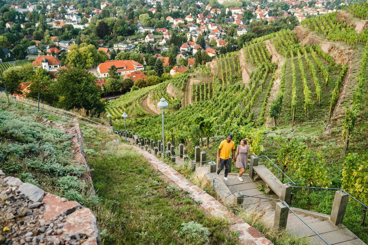
Great places closer to home – nature and fun in the Dresden Elbland
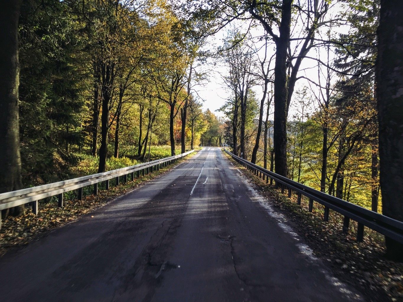
Weekend tours in the Ore Mountains

Wandertouren - Eisenbahn & Wanderstock
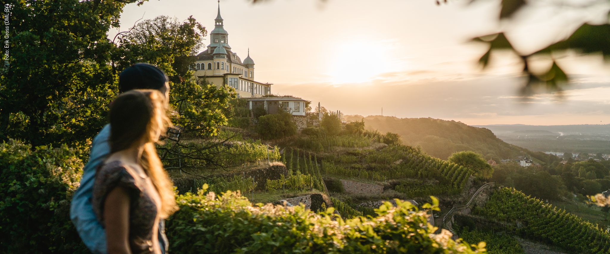
Natur entdecken – 10 Wandertouren abseits der Hauptpfade im Dresden Elbland
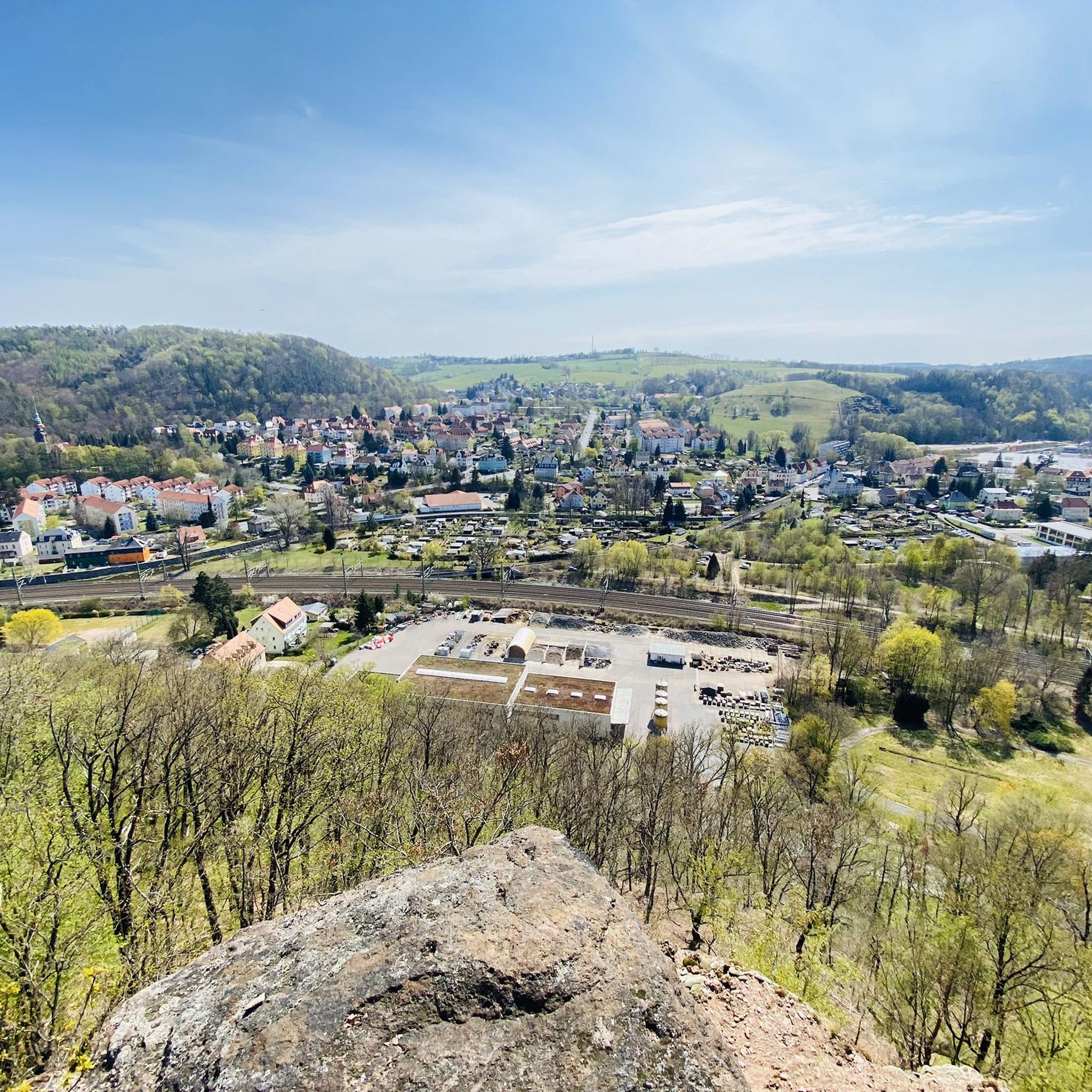
Cycling in Weißeritztalhänge
Running Trails in Weißeritztalhänge
MTB Trails in Weißeritztalhänge
Road Cycling Routes in Weißeritztalhänge
Gravel biking in Weißeritztalhänge
Other adventures in Weißeritztalhänge


Tips from the Community

As with any watercourse, the children will want to splash and paddle at the edge
0
1

The Teufelskanzel near Tharandt is a striking natural monument and a popular viewpoint, located on the edge of the adventurous Somsdorfer Klamm. The rock formation is situated at the transition from the Somsdorfer Höhe down into the romantic Rabenauer Grund, through which the Rote Weißeritz river flows. However, the view is somewhat restricted by dense vegetation. Hikers need good sure-footedness, sturdy hiking boots, and solid basic fitness. Especially in autumn and winter, the stones can become very slippery.
0
0
The Brüderweg-Klippenpfad is a challenging, alpine hiking trail in the Weißeritztal slopes between Tharandt and Freital. The scenically attractive route leads through dense forests, offers breathtaking views, and is only suitable for sure-footed hikers due to partly exposed steep slopes. [1, 2, 3, 4, 5]
0
0


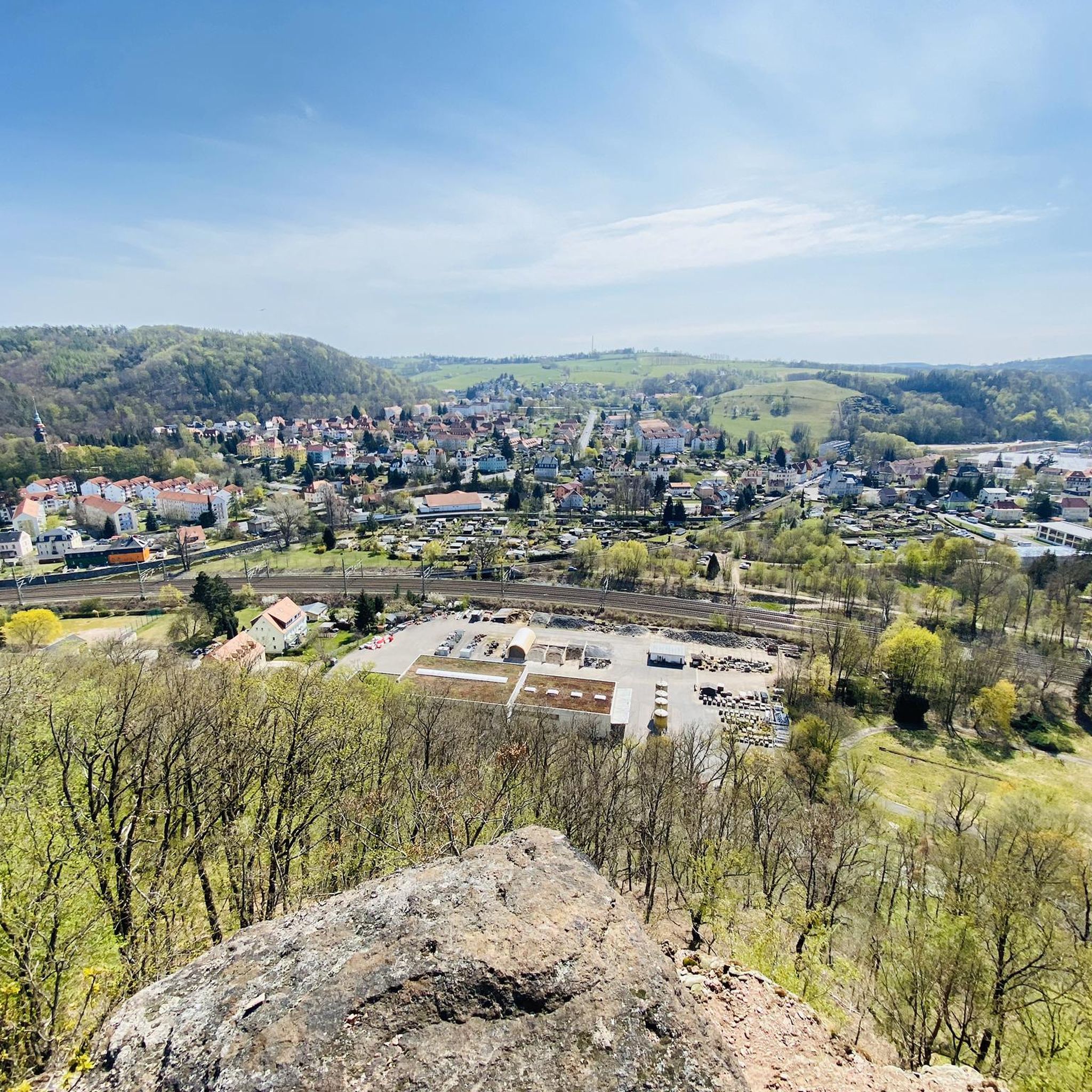
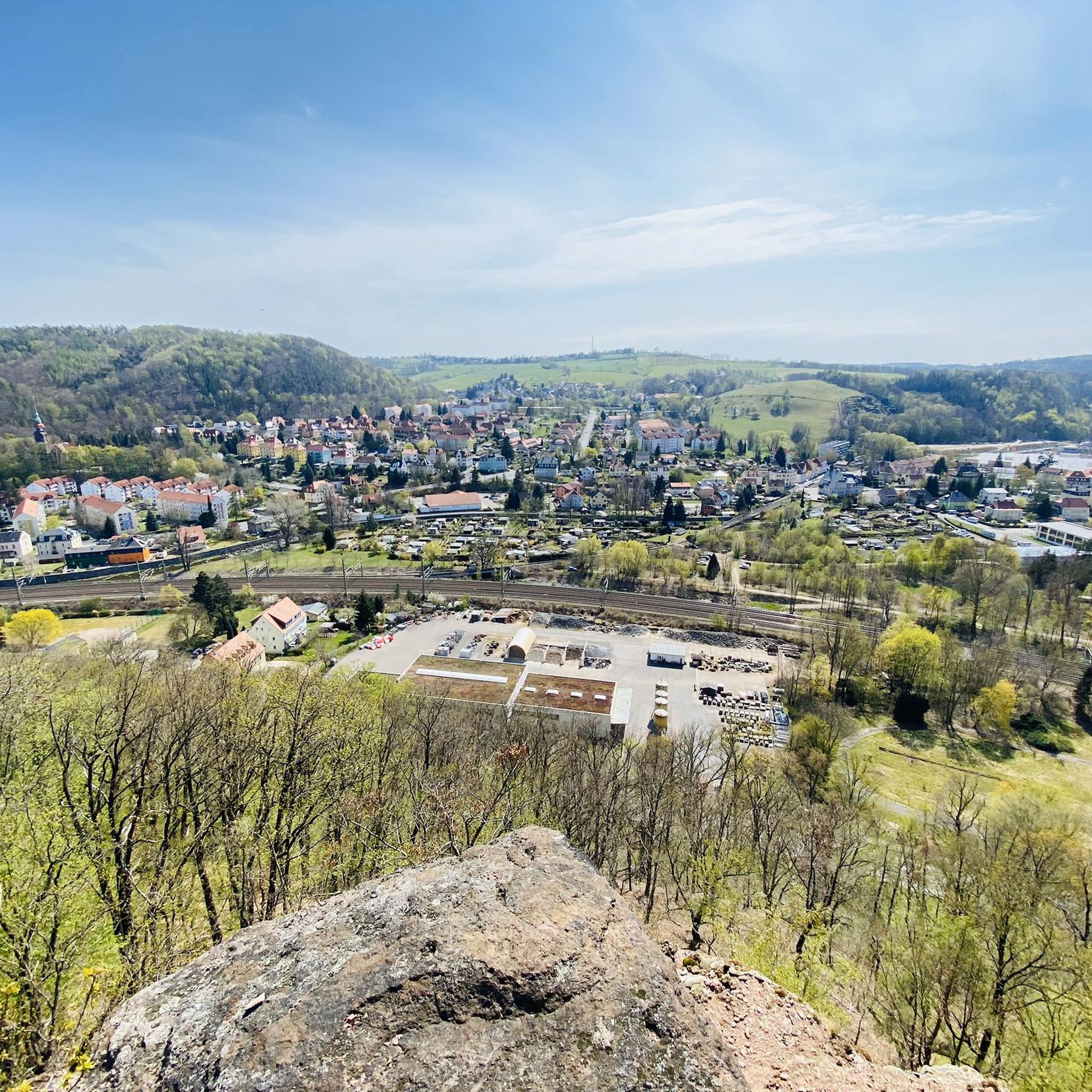
Especially in early spring, there is a wonderful panoramic view of the beginning of the Rabenau valley.
0
1

Many people confuse it. The area is called Stille Liebe (Silent Love), the shelter Waldblick (Forest View), which also has a summit register.
0
0

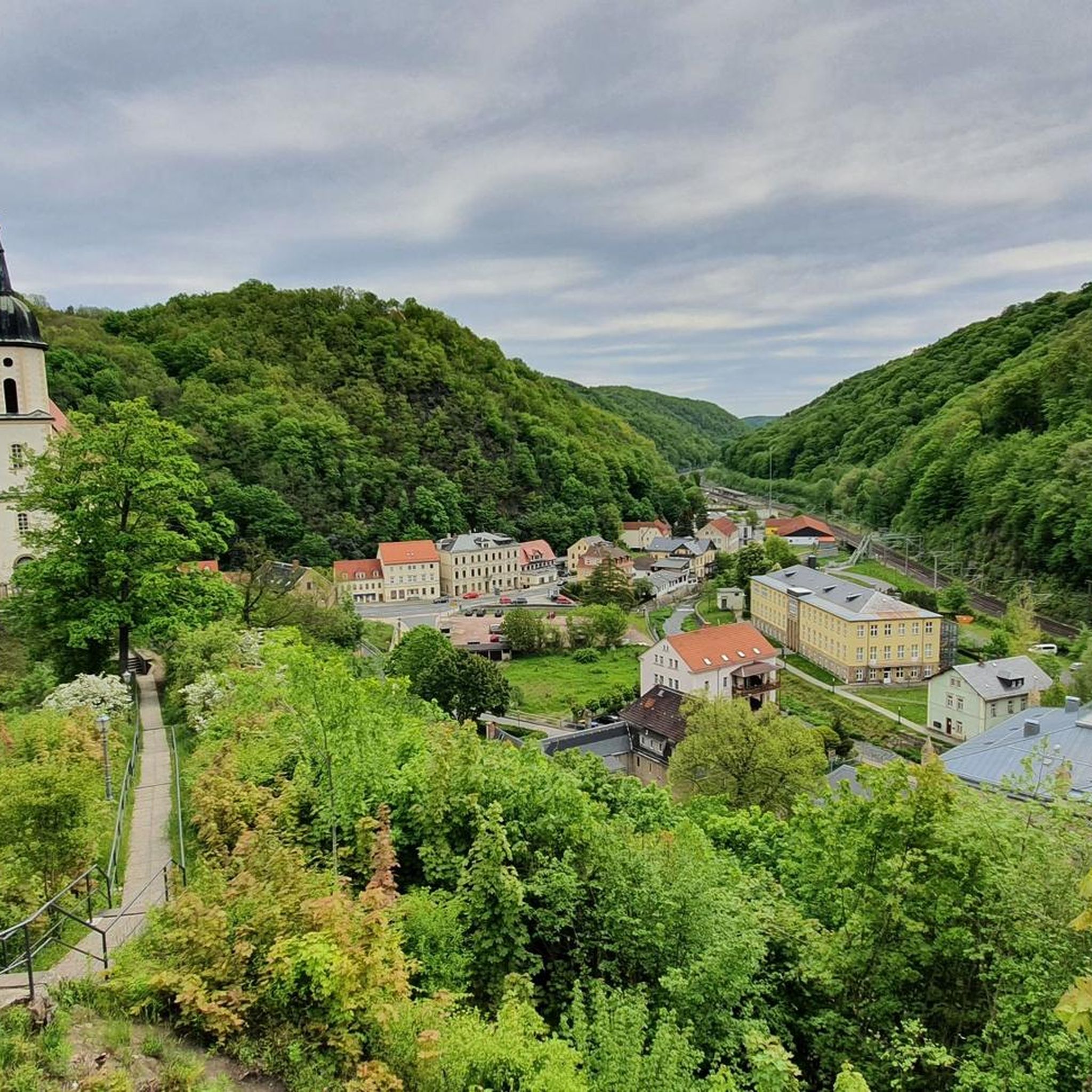
Georgenkirche Somsdorf. A hall church from 1712, with a three-sided closure, reusing remnants of the Romanesque predecessor building. The Georgenkirche in Somsdorf is said to have been consecrated as early as 1238. Somsdorf itself is first mentioned in documents around 1350.
1
0

The hut is reminiscent of the deserted village of Warnsdorf https://de.wikipedia.org/wiki/Warnsdorf_(Wüstung)
1
0
Frequently Asked Questions
How many hiking trails are available in Weißeritztalhänge?
Weißeritztalhänge offers a wide selection of hiking routes, with over 110 trails to explore. These range in difficulty from easy strolls to more challenging treks, ensuring options for every hiker.
What kind of terrain can I expect on hikes in Weißeritztalhänge?
The terrain in Weißeritztalhänge is varied, characterized by dense beech forests and slopes along the Weißeritztal valley. Many paths offer a "mountain path feel" with narrower sections, and some routes, like parts of the Brüderweg, feature railings, bridges, and ropes for an exciting experience.
Are there easy hiking routes suitable for beginners in Weißeritztalhänge?
Yes, Weißeritztalhänge has over 35 easy hiking routes perfect for beginners or those looking for a relaxed walk. These trails allow you to enjoy the scenic beauty without significant challenges.
Can I find challenging hikes in Weißeritztalhänge?
For experienced hikers seeking a challenge, Weißeritztalhänge offers 16 difficult routes. An example is the Ascent to Teufelskanzel – Somsdorf Gorge loop from Tharandt, which leads through the Somsdorf Gorge and involves a notable elevation gain.
Are there family-friendly hiking options in Weißeritztalhänge?
While specific family-friendly routes are not detailed, the region's numerous easy and moderate trails, combined with its diverse natural features and historical sites, make it suitable for families. Look for shorter, less strenuous routes to enjoy with children.
Are dogs allowed on the hiking trails in Weißeritztalhänge?
Generally, dogs are welcome on the hiking trails in Weißeritztalhänge. However, it's always advisable to keep them on a leash, especially in nature protection areas or when encountering wildlife, and to clean up after them.
What are some notable viewpoints or attractions to see while hiking in Weißeritztalhänge?
Hikers can discover several interesting points along the trails. The Ruins of Tharandt Castle offer a glimpse into history, while the Backofenfelsen Viewpoint and Heinrichs Eck Viewpoint provide stunning vistas of the Weißeritztal valley. The Stille Liebe Lookout Hut is another popular spot for a break and views.
Are there any circular hiking routes in Weißeritztalhänge?
Yes, many of the trails in Weißeritztalhänge are designed as circular routes, allowing you to start and end at the same point. An example is the Backofenfelsen Viewpoint – Brüderweg Cliffside Trail loop from Tharandt, which combines scenic views with a unique trail experience.
What is the best time of year to go hiking in Weißeritztalhänge?
The Weißeritztalhänge region is particularly beautiful during autumn, when the dense beech forests display vibrant colors. Spring and summer also offer pleasant conditions for hiking, with lush greenery and comfortable temperatures.
Is there parking available near the trailheads in Weißeritztalhänge?
While specific parking areas are not detailed, trailheads in popular hiking regions like Weißeritztalhänge typically offer designated parking facilities. It's recommended to check local signage or online maps for specific parking options near your chosen starting point.
What do other hikers enjoy most about hiking in Weißeritztalhänge?
The hiking trails in Weißeritztalhänge are highly rated by the komoot community, with an average score of 4.6 stars from over 1300 reviews. Hikers often praise the diverse topography, the unique "mountain path feel" of some trails, and the impressive views of the Weißeritztal valley.
Are there any long-distance hiking options in Weißeritztalhänge?
For those looking for longer excursions, routes like the Meadow Path – Ruins of Tharandt Castle loop from Tharandt offer distances of over 18 km, providing a full day's adventure through the region's varied landscapes.
Most popular routes in Weißeritztalhänge
Most popular attractions in Weißeritztalhänge

Get inspired with the komoot mobile app


Explore more
Browse the best Hikes in other regions.
